Block
BlockFrom the record
One of 44 National Register listings published here for Mariposa County · listed in 1982 · category: District.
Sources: the case file at the National Archives · the National Register database, National Park Service
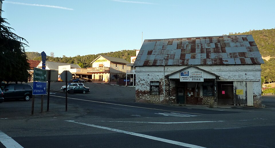
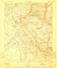
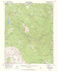
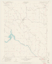
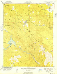
Listed on the National Register of Historic Places in 1982. 13 historic topographic surveys show this location, the earliest from 1893.
One of 44 National Register listings published here for Mariposa County · listed in 1982 · category: District.
Sources: the case file at the National Archives · the National Register database, National Park Service
Regional context, not property-specific evidence. The federal wildfire occurrence database lists 159 fires within 5 miles of Coulterville Main Street Historic District between 1992 and 2020, burning about 16,911 acres in total. 5 started naturally. 22 were recorded as arson. Distance is straight-line from the map coordinates, so a fire counted here may appear on a neighbouring settlement's page as well.
| Reported cause | Fires |
|---|---|
| Missing data/not specified/undetermined | 53 |
| Debris and open burning | 34 |
| Equipment and vehicle use | 30 |
| Arson/incendiarism | 22 |
| Natural | 5 |
| Smoking | 4 |
| Misuse of fire by a minor | 4 |
| Power generation/transmission/distribution | 3 |
| Recreation and ceremony | 2 |
| Firearms and explosives use | 1 |
| Other causes | 1 |
The most recent of them, most recent first, with the day each was reported and the service that recorded it.
| Date | Cause | Size | Reported by | Name on the report |
|---|---|---|---|---|
| 9 September 2017 | Missing data/not specified/undetermined | under an acre | California Department of Forestry & Fire Protection | DONKEY |
| 9 September 1999 | Natural | under an acre | Merced-Mariposa Unit | PENON BLANCO LOOKOUT |
| 9 September 1999 | Natural | under an acre | Central California District | BONEYARD |
| 7 September 1997 | Missing data/not specified/undetermined | 1.0 acres | Merced-Mariposa Unit | HILDAGO |
| 6 September 2005 | Equipment and vehicle use | 165 acres | Central California District | HORSESHOE |
| 5 September 2016 | Missing data/not specified/undetermined | under an acre | California Department of Forestry & Fire Protection | BROADWAY COULTERVILLE |
| 4 September 2018 | Missing data/not specified/undetermined | under an acre | California Department of Forestry & Fire Protection | FISKE |
| 26 September 2016 | Missing data/not specified/undetermined | under an acre | California Department of Forestry & Fire Protection | ERNST |
Regional context, not property-specific evidence. The federal mineral resources record lists 225 workings within 5 miles of Coulterville Main Street Historic District: 72 past producers, 70 occurrences, 43 unknowns, 23 producers. 23 still produce. What was taken out: Gold, Copper, Manganese, Silver. Distance is straight-line from the map coordinates, so a quarry counted here may appear on a neighbouring settlement's page as well.
| Where | Site | Commodity | Status | Recorded |
|---|---|---|---|---|
| Adelaide and Anderson | Gold, Lead, Copper | Past Producer | 1867 | |
| Asbestos Prospect | Asbestos | Occurrence | ||
| Barrett | Copper, Gold, Zinc | Occurrence | ||
| Champion I | Gold, Silver, Zinc, Lead, Copper | Past Producer | 1855 | |
| Crystal | Gold, Mercury, Copper | Past Producer | Cinnabar, Gold | |
| Jasper Point | Gemstone, Stone, Crushed/Broken, Sand and Gravel, Construction | Occurrence | Gravel, Jasper, Sand | |
| Jasper Point | Sand and Gravel, Construction | Unknown | ||
| Malvina | Gold, Silver, Lead, Copper | Past Producer | Gold | |
| Mary Harrison-Malvina Group | Gold, Silver, Copper, Lead | Past Producer | 1852 | |
| Red Hill Mine | Gold, Copper | Occurrence |
Regional context, not property-specific evidence. The National Weather Service names Coulterville, the town this property stands in, in 6 storm reports between 1999 and 2023: 1 lightning, 1 wildfire, 1 hail, 1 flash flood. The reports record 2 deaths. Each account below is quoted exactly as the forecast office filed it, from the NOAA Storm Events Database, and each date opens the federal record of that event.
| When | Event | Place named | Harm | What the report says |
|---|---|---|---|---|
| March 2018 | Flash Flood | Coulterville | 2 killed, $2,000,000 | Mariposa Office of Emergency Services reported several homes flooded and roadways washed out. While many roadways were washed out across Northwestern Mariposa County, the homes were generally impacted near Lake Don Pedro, Hornitos, and the City of Mariposa. The two fatalities that did occur in the area were both related to a person driving into a flooded roadway. One was along highway 132 west of Coulterville and the other was near Cathey's Valley where a 72 year old woman was found dead nearly four months later. |
| August 2001 | Wildfire | Coulterville | $3,600,000 | The Creek Fire was an arson fire that burned 11,500 acres. There were no fatalities but 11 injuries and 8 structures were lost (4 residences and 4 out-buildings). At one point at least 400 people were forced to evacuate due to the fire and it threatened at least 3000 structures. |
| August 2023 | Thunderstorm Wind | Coulterville | - | The PG&E station at Penon Blanco reported a measured wind gust of 62 mph with a thunderstorm. |
| October 2021 | Heavy Rain | Coulterville | - | Public report of 5.48 inches of rainfall in 18 hours at Greeley Hill. |
| March 2017 | Hail | Coulterville | - | Public report of one inch hail. |
| September 1999 | Lightning | Coulterville | - | Four (4) lightning strikes were observed by an OES Fire Official in the vicinity of Coulterville. The strikes all produced small fires. No injuries or damage was reported except for the costs of suppression. |
United States Geological Survey topographic sheets whose coverage includes this point. Matched by taking the coordinate the National Park Service records for this property, then testing that coordinate against the published boundary of every sheet.
| National Archives record | The nomination case file for reference 82002205 in Record Group 79. |
| Mariposa County | All 44 listed properties in this county. |