Block
BlockFrom the record
One of 44 National Register listings published here for Fresno County · listed in 1984 · category: Building.
Sources: the case file at the National Archives · the National Register database, National Park Service
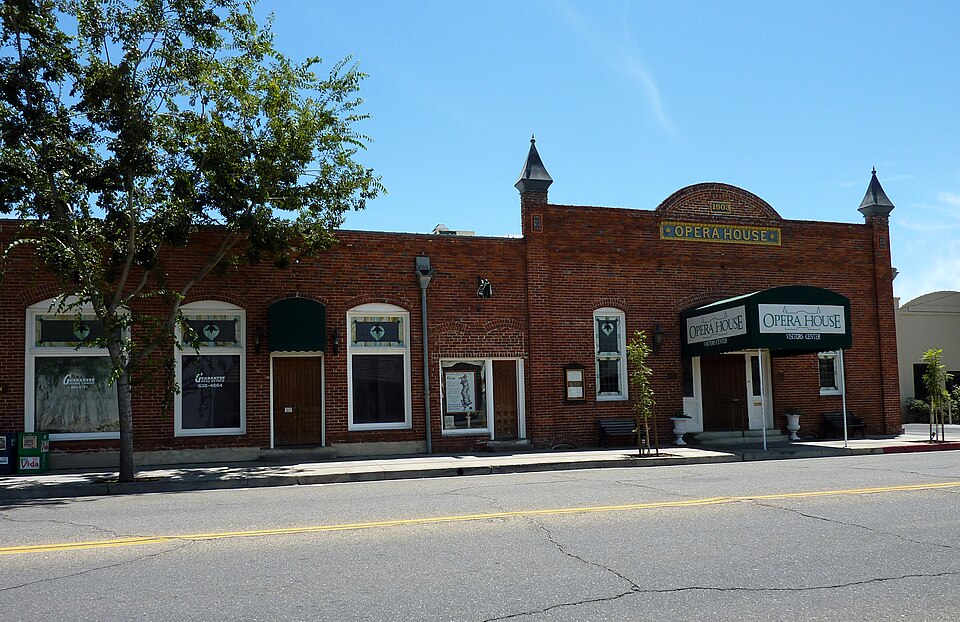
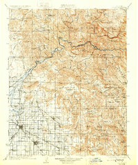
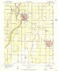
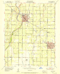
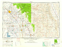
Listed on the National Register of Historic Places in 1984. 14 historic topographic surveys show this location, the earliest from 1922.
One of 44 National Register listings published here for Fresno County · listed in 1984 · category: Building.
Sources: the case file at the National Archives · the National Register database, National Park Service
Regional context, not property-specific evidence. The federal wildfire occurrence database lists 405 fires within 5 miles of Reedley Opera House Complex between 1992 and 2020, burning about 1,346 acres in total. 2 started naturally. 48 were recorded as arson. Distance is straight-line from the map coordinates, so a fire counted here may appear on a neighbouring settlement's page as well.
| Reported cause | Fires |
|---|---|
| Missing data/not specified/undetermined | 188 |
| Debris and open burning | 77 |
| Equipment and vehicle use | 59 |
| Arson/incendiarism | 48 |
| Misuse of fire by a minor | 20 |
| Smoking | 7 |
| Power generation/transmission/distribution | 2 |
| Natural | 2 |
| Railroad operations and maintenance | 1 |
| Recreation and ceremony | 1 |
The most recent of them, most recent first, with the day each was reported and the service that recorded it.
| Date | Cause | Size | Reported by | Name on the report |
|---|---|---|---|---|
| 8 September 2016 | Missing data/not specified/undetermined | under an acre | California Department of Forestry & Fire Protection | S BUTTONWILLOW AV REEDLE |
| 8 September 2008 | Missing data/not specified/undetermined | 1.0 acres | Fresno-Kings Unit | FRANK 2 |
| 7 September 2019 | Power generation/transmission/distribution | 5.0 acres | Fresno-Kings Unit | NEWMARK |
| 7 September 2017 | Missing data/not specified/undetermined | 1.0 acres | California Department of Forestry & Fire Protection | S REED AV REEDLEY |
| 6 September 2016 | Missing data/not specified/undetermined | under an acre | California Department of Forestry & Fire Protection | RIVER |
| 6 September 2007 | Equipment and vehicle use | 1.0 acres | Fresno-Kings Unit | E SOUTH AV /S LAC JAC AV |
| 6 September 1992 | Missing data/not specified/undetermined | 1.0 acres | Fresno-Kings Unit | FKU #9873 |
| 5 September 2010 | Missing data/not specified/undetermined | under an acre | Fresno-Kings Unit | HUNT |
Regional context, not property-specific evidence. The federal mineral resources record lists 1 working within 5 miles of Reedley Opera House Complex: 1 producer. All of them still produce. What was taken out: Sand and Gravel, Construction. Distance is straight-line from the map coordinates, so a quarry counted here may appear on a neighbouring settlement's page as well.
| Where | Site | Commodity | Status | Recorded |
|---|---|---|---|---|
| Mont Lasalle Vineyard Pit | Sand and Gravel, Construction | Producer |
Regional context, not property-specific evidence. The National Weather Service names Reedley, the town this property stands in, in 17 storm reports between 1998 and 2023: 6 hail, 5 flood, 3 thunderstorm wind, 3 funnel cloud. No death or injury is recorded in these reports. Each account below is quoted exactly as the forecast office filed it, from the NOAA Storm Events Database, and each date opens the federal record of that event.
| When | Event | Place named | Harm | What the report says |
|---|---|---|---|---|
| June 2011 | Flood | Reedley | $25,000 | Local TV broadcasters reported a property was flooded near the Kings River near Reedley. |
| June 2011 | Flood | Reedley | $25,000 | A mobile home was damaged by snowmelt floodwaters at Lindy's Landing along the Kings River. |
| March 2011 | Flood | Reedley | $5,000 | Flooding reported on Huntsman at Del Altair. 24-hour rainfall reports between Hanford and Fresno were between 1.50 to 2.00 inches. |
| August 2003 | Thunderstorm Wind | Reedley | $5,000 | no account filed |
| May 2009 | Thunderstorm Wind | Reedley | $2,000 | Officials reported a large tree downed in Reedley due to severe thunderstorm winds. |
| March 2023 | Flood | Reedley | - | California Highway Patrol reported E. Floral Ave. at S. Lac Jac Ave and Wallace was closed due to a sinkhole. |
| June 2017 | Flood | Reedley | - | Flooding was reported by an NWS employee along the Kings River just south of the bridge on Manning Ave at the adjacent RV Park on the west side of Reedley. |
| April 2006 | Hail | Reedley | - | A trained spotter reported quarter-size hail near Reedley. Two unconfirmed reports were received from the general public of golf-ball hail also near Reedley. |
| October 2004 | Funnel Cloud | Reedley | - | This funnel was reported looking south toward the location of the "Dinuba Tornado" but was on a line behind the convection line that supported the tornado and 30 minutes later. |
| March 2003 | Funnel Cloud | Reedley | - | Low-topped convection resulted in an unconfirmed report of a funnel cloud in the vicinity of Reedley. HNX WSR-88D reflectivity was in the 45-50 dBz value range with tops 10-15K feet. |
| April 1999 | Hail | Reedley | - | Hail damage to young vines, stone fruit, and deciduous crops. |
| June 1998 | Hail | Reedley | - | As reported by Fresno County Ag Commissioner that large amounts of hail with some reaching 1" in diameter occurred in the Reedley area. Other damage areas in Fresno County were around Kerman, Riverdale, Orange Cove, and Kingsburg. |
| April 2006 | Hail | Reedley | - | no account filed |
| March 2005 | Funnel Cloud | Reedley | - | no account filed |
| April 2003 | Hail | Reedley | - | no account filed |
| February 2001 | Hail | Reedley | - | no account filed |
| October 2000 | Thunderstorm Wind | Reedley | - | no account filed |
United States Geological Survey topographic sheets whose coverage includes this point. Matched by taking the coordinate the National Park Service records for this property, then testing that coordinate against the published boundary of every sheet.
Other National Register properties close enough to walk or drive between, ordered by distance from this one. Both positions come from the same geocoding pass that matched these properties to their map sheets.
| Photograph | Property | Distance | Listed |
|---|---|---|---|
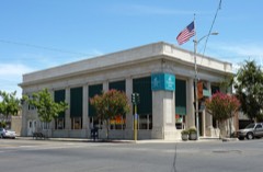 | Reedley National Bank | under 500 feet | 1985 |
 | Orange Cove Santa Fe Railway Depot | 7.9 miles | 1978 |
| National Archives record | The nomination case file for reference 84000774 in Record Group 79. |
| Fresno County | All 44 listed properties in this county. |