BlockBefore
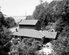
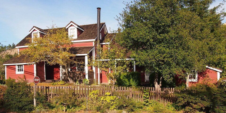
Photograph of Joseph W. Post House
Photograph by McGhiever, CC BY-SA 3.0. Via Wikimedia Commons.

Post, Joseph W., House

Listed on the National Register of Historic Places in 1985. 9 historic topographic surveys show this location, the earliest from 1948.

From the record

“Post House is historic house located on the Highway 1 in Posts Summit, approximately four miles to the south of Big Sur, California. Erected in 1867, the homestead evolved through five generations of the Post family settling the Big Sur coast in California.”

Wikipedia article Joseph W. Post House, CC BY-SA 4.0.

One of 64 National Register listings published here for Monterey County · listed in 1985 · category: Building.

Sources: the Wikipedia article · the case file at the National Archives · the National Register database, National Park Service
The listing

  • What is counted as historic. The nomination lists 1 building as contributing to the listing.
  • Address. CA 1, Big Sur, 93920
  • When was it listed? September 1985
  • Category. building
  • Census division. Big Sur
  • National Register reference number. 85002196 - the number the National Park Service assigned this property when it was listed, and the key its nomination file is catalogued under at the National Archives.

Then and now

1948 to 1995

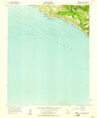
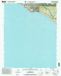
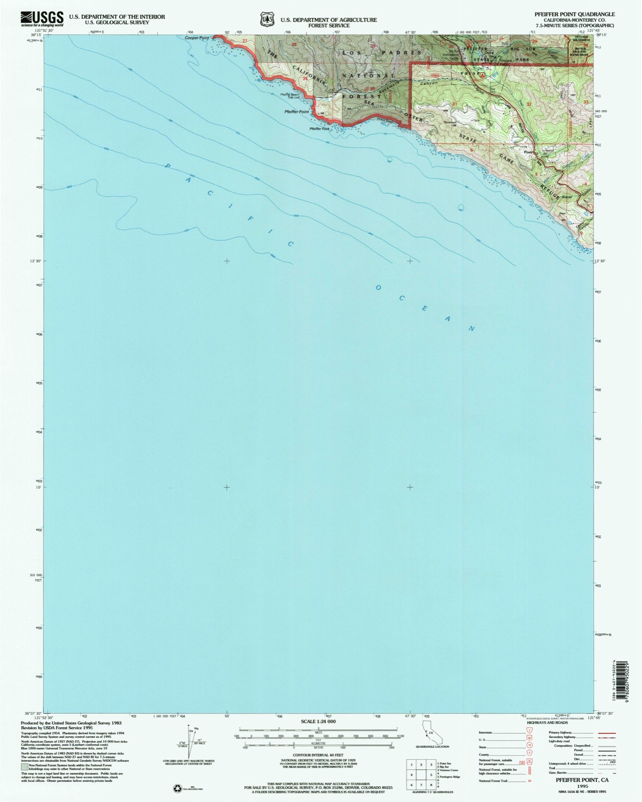
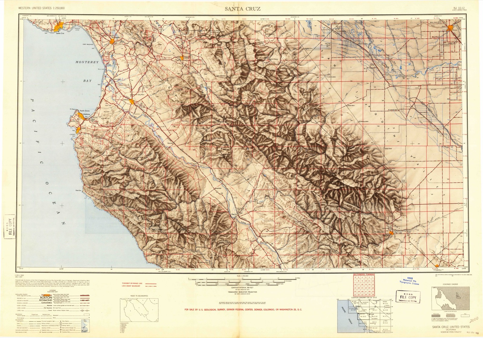
The ground this property stands on, surveyed 47 years apart. Drag the handle to wipe between them. Both sheets are United States Geological Survey originals; neither has been altered.

Topographic sheet covering Post, Joseph W., House, surveyed 1995
Topographic sheet covering Post, Joseph W., House, surveyed 1948

Fires near this property

98 since 1992

Regional context, not property-specific evidence. The federal wildfire occurrence database lists 98 fires within 5 miles of Post, Joseph W., House between 1992 and 2020, burning about 5,001 acres in total. 4 started naturally. 3 were recorded as arson. Distance is straight-line from the map coordinates, so a fire counted here may appear on a neighbouring settlement's page as well.

Reported cause Fires
Missing data/not specified/undetermined28
Equipment and vehicle use16
Recreation and ceremony16
Power generation/transmission/distribution15
Debris and open burning8
Other causes4
Natural4
Arson/incendiarism3
Misuse of fire by a minor2
Firearms and explosives use1
Smoking1

The most recent of them, most recent first, with the day each was reported and the service that recorded it.

DateCause SizeReported by Name on the report
8 September 1999Naturalunder an acreLos Padres National ForestTORRE
8 September 1999Naturalunder an acreLos Padres National ForestTOP
8 September 1999Naturalunder an acreLos Padres National ForestFREED
8 September 1996Missing data/not specified/undetermined2.0 acresLos Padres National ForestFLORY
6 September 2013Power generation/transmission/distribution1.0 acresLos Padres National ForestLIBRARY
6 September 2006Power generation/transmission/distributionunder an acreLos Padres National ForestCOOPER
6 September 1997Recreation and ceremonyunder an acreLos Padres National ForestGRIMES
5 September 1997Missing data/not specified/undeterminedunder an acreLos Padres National ForestBARLOW

Every fire recorded in Monterey County

Mines and quarries near this property

2 within 5 miles

Regional context, not property-specific evidence. The federal mineral resources record lists 2 workings within 5 miles of Post, Joseph W., House: 1 prospect, 1 producer. 1 still produces. What was taken out: Sand and Gravel, Construction, Silver. Distance is straight-line from the map coordinates, so a quarry counted here may appear on a neighbouring settlement's page as well.

Where SiteCommodity StatusRecorded
Molera RanchSand and Gravel, ConstructionProspectSedimentary
Reported LocationSilverProducer

Every working recorded in Monterey County

Storms near this property

7 since 1996

Regional context, not property-specific evidence. The National Weather Service names Big Sur, the town this property stands in, in 7 storm reports between 1996 and 2025: 2 wildfire, 2 thunderstorm wind, 1 heavy rain, 1 flash flood. No death or injury is recorded in these reports. Each account below is quoted exactly as the forecast office filed it, from the NOAA Storm Events Database, and each date opens the federal record of that event.

WhenEvent Place namedHarm What the report says
October 1996WildfireBig Sur$12,300,000no account filed
April 2009Flash FloodBig Sur$40,000Heavy rain fell on top of a recently burned forest causing flash flooding and debris flows. More than three feet of mud covered State Route One closing it for several hours. Vehicles parked at the Big Sur Lodge were stuck in mud and debris. One vehicle was even forced into a culvert and buried. At least three separate debris flows were reported along Highway One, all within a 3 mile span.
December 2025Thunderstorm WindBig Sur-The PG&E station on Old Coast Tower reported a gust of 62 mph.
August 2020Thunderstorm WindBig Sur-Mesonet station on Old Coast Tower road.
January 2016Debris FlowBig Sur-Heavy rain on saturated soil triggered a rock slide/debris flow onto SR 1 near Captain Cooper Elementary School in Big Sur. Highway 1 was at least partially blocked.
July 2000WildfireBig Sur-no account filed
November 1996Heavy RainBig Sur-no account filed

Every storm recorded in Monterey County

Maps showing this location

9 surveys

United States Geological Survey topographic sheets whose coverage includes this point. Matched by taking the coordinate the National Park Service records for this property, then testing that coordinate against the published boundary of every sheet.

Listed places nearby

1 within 8 miles

Other National Register properties close enough to walk or drive between, ordered by distance from this one. Both positions come from the same geocoding pass that matched these properties to their map sheets.

Photograph PropertyDistance Listed
Deetjen's Big Sur Inn1.1 miles1990

Sources for this property

National Archives recordThe nomination case file for reference 85002196 in Record Group 79.
Wikipedia articleCommunity-written account of this property, licensed CC BY-SA.
Monterey CountyAll 64 listed properties in this county.

Provenance

  • Listing record. National Park Service National Register of Historic Places, listed-properties dataset, current to 2026-05-22.
  • Map join. Address geocoded through the United States Census geocoder, then tested against the published boundary of every sheet in the USGS Historical Topographic Map Collection.
  • How this page is made. Listing fields come from federal records; map-sheet coverage is a labelled coordinate-to-boundary calculation, not a source-field claim.
  • Wildfire. Short, Karen C. 2022. Spatial wildfire occurrence data for the United States, 1992-2020 [FPA_FOD_20221014]. 6th Edition. Fort Collins, CO: Forest Service Research Data Archive. https://doi.org/10.2737/RDS-2013-0009.6 Collected with United States Government funding and usable without additional permissions or fees.
  • Mines and quarries. USGS Mineral Resources Data System (MRDS) https://mrdata.usgs.gov/mrds/ A work of the United States government, no copyright under 17 U.S.C. 105.
  • Storms. NOAA National Centers for Environmental Information, Storm Events Database https://www.ncei.noaa.gov/stormevents/ A work of the United States government, no copyright under 17 U.S.C. 105. Narratives are quoted verbatim from the National Weather Service report and are not edited or summarised.