Block
BlockFrom the record
One of 136 National Register listings published here for Orange County · listed in 1986 · category: Building.
Sources: the case file at the National Archives · the National Register database, National Park Service
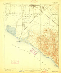
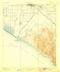
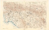
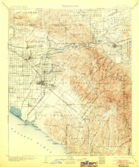
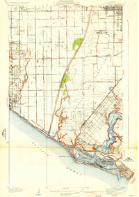
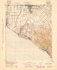
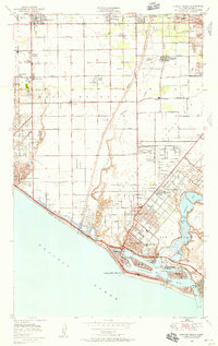
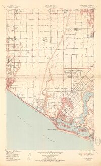
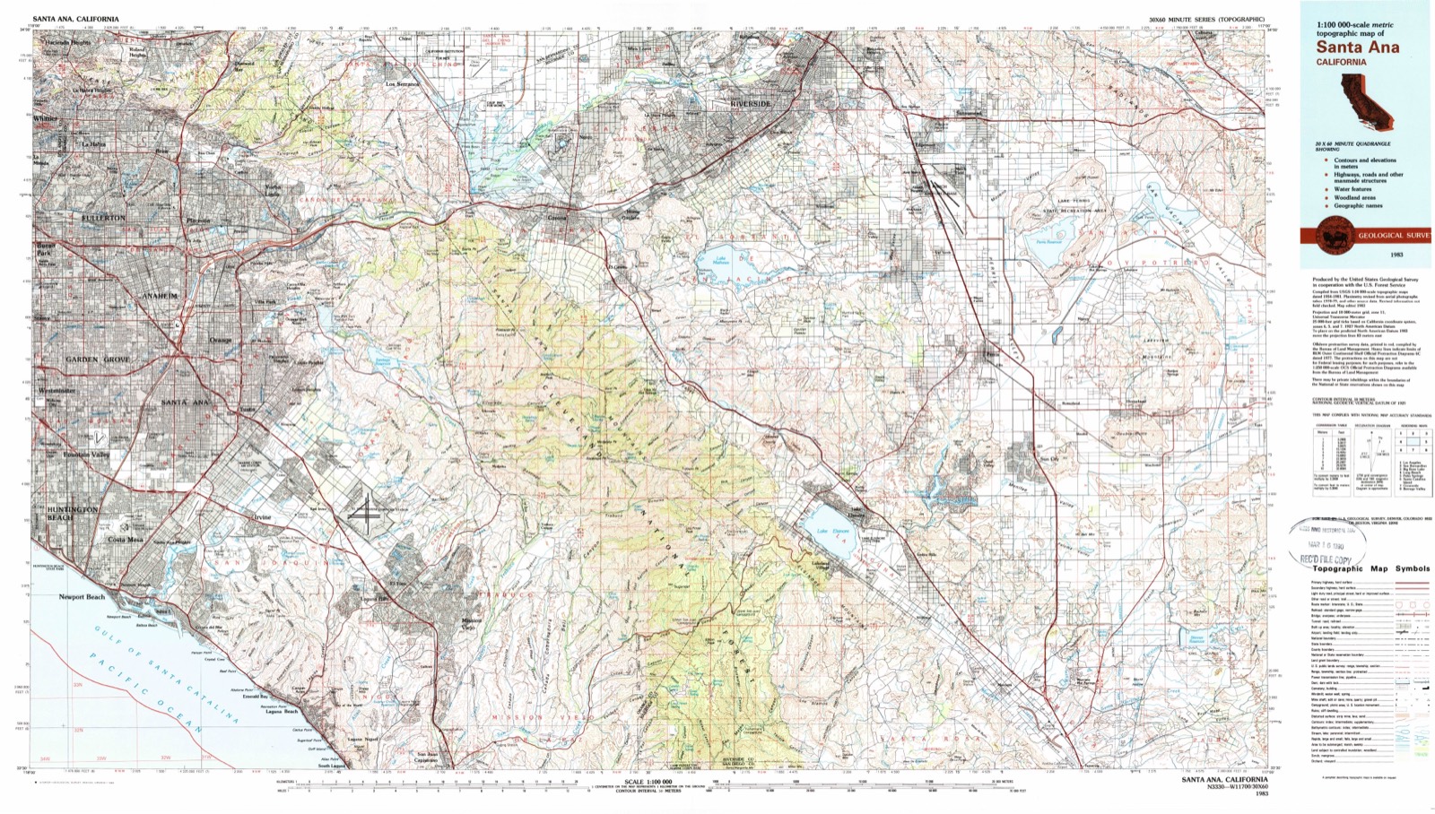
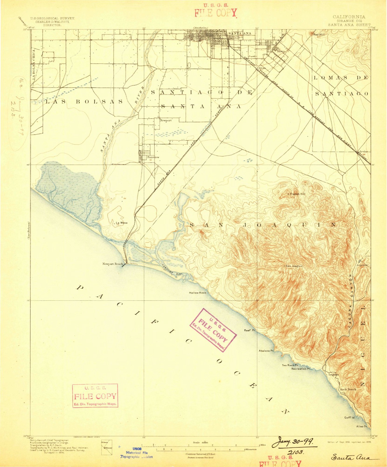
Listed on the National Register of Historic Places in 1986. 18 historic topographic surveys show this location, the earliest from 1896.
One of 136 National Register listings published here for Orange County · listed in 1986 · category: Building.
Sources: the case file at the National Archives · the National Register database, National Park Service
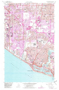
The ground this property stands on, surveyed 87 years apart. Drag the handle to wipe between them. Both sheets are United States Geological Survey originals; neither has been altered.
Regional context, not property-specific evidence. The federal wildfire occurrence database lists 160 fires within 5 miles of Bank of Balboa-Bank of America between 2005 and 2020, burning about 82 acres in total. None started naturally. 33 were recorded as arson. Distance is straight-line from the map coordinates, so a fire counted here may appear on a neighbouring settlement's page as well.
| Reported cause | Fires |
|---|---|
| Missing data/not specified/undetermined | 105 |
| Arson/incendiarism | 33 |
| Misuse of fire by a minor | 7 |
| Smoking | 6 |
| Equipment and vehicle use | 4 |
| Debris and open burning | 4 |
| Recreation and ceremony | 1 |
The most recent of them, most recent first, with the day each was reported and the service that recorded it.
| Date | Cause | Size | Reported by | Name on the report |
|---|---|---|---|---|
| 8 September 2011 | Arson/incendiarism | under an acre | Orange County Fire Authority | not named |
| 3 September 2020 | Arson/incendiarism | under an acre | Orange County Fire Authority | not named |
| 24 September 2005 | Arson/incendiarism | 1.0 acres | California Department of Forestry & Fire Protection | not named |
| 2 September 2017 | Missing data/not specified/undetermined | under an acre | California Department of Forestry & Fire Protection | not named |
| 19 September 2005 | Missing data/not specified/undetermined | under an acre | California Department of Forestry & Fire Protection | not named |
| 17 September 2019 | Missing data/not specified/undetermined | under an acre | Orange County Fire Authority | not named |
| 15 September 2018 | Arson/incendiarism | under an acre | California Department of Forestry & Fire Protection | not named |
| 8 August 2014 | Missing data/not specified/undetermined | under an acre | Orange County Fire Authority | not named |
Regional context, not property-specific evidence. The federal mineral resources record lists 2 workings within 5 miles of Bank of Balboa-Bank of America: 2 past producers. None of them still produces. What was taken out: Salt. Distance is straight-line from the map coordinates, so a quarry counted here may appear on a neighbouring settlement's page as well.
| Where | Site | Commodity | Status | Recorded |
|---|---|---|---|---|
| Newport Bay, Shellmaker, Inc. | Salt | Past Producer | ||
| Salt Ponds | Salt | Past Producer |
Regional context, not property-specific evidence. The National Weather Service names Newport Beach, the town this property stands in, in 18 storm reports between 1994 and 2017: 6 rip current, 3 waterspout, 2 tornado, 2 thunderstorm wind. The reports record 4 deaths and 8 injuries. Each account below is quoted exactly as the forecast office filed it, from the NOAA Storm Events Database, and each date opens the federal record of that event.
| When | Event | Place named | Harm | What the report says |
|---|---|---|---|---|
| May 1999 | Rip Current | Newport Beach | 1 killed | A 28 year old Massachuetts man swimming with some friends near the jetty at 28th Street, drowned after getting caught in a rip current. |
| May 2000 | Rip Current | Newport Beach | 1 killed | no account filed |
| June 2000 | Rip Current | Newport Beach | 1 killed | no account filed |
| August 2000 | Rip Current | Newport Beach | 1 killed | no account filed |
| September 1997 | High Surf | Newport Beach | 4 hurt | Heavy Surf stirred up by Hurricane Linda, sent waves up to 18 feet high thundering into The Wedge at Newport Beach. Five people were swept off a jetty, and 300 yards out to sea, before being rescued by a passing boater. Four were injured, one critically, after nearly drowning. |
| July 2001 | Rip Current | Newport Beach | 4 hurt | no account filed |
| February 1998 | Flash Flood | Newport Beach | $880,000 | no account filed |
| February 1994 | Tornado (F0) | Newport Beach | $500,000 | A tornado touched down at Newport Beach/Balboa Island vicinity and traveled nine miles to the Tustin Marine Corpse Base. During its course, it traveled parallel to Highway 55. Reports of many trees blown down, windows blown out, and roofs damaged. |
| March 2000 | Lightning | Newport Beach | $50,000 | no account filed |
| January 2017 | Thunderstorm Wind | Newport Beach | $25,000 | A severe squall moved from Newport Beach to Santa Ana, downing multiple trees, knocking out power to 63 homes and causing minor roof damage. |
| February 2005 | Thunderstorm Wind | Newport Beach | $15,000 | no account filed |
| December 1998 | Storm Surge/Tide | Newport Beach | $2,500 | no account filed |
| September 2007 | Tornado (EF0) | Newport Beach | - | The public posted YouTube footage of a waterspout coming ashore in Newport Beach. The waterspout dissipated about one minute after leavig the ocean. The time of the event is estimated. |
| November 1997 | Waterspout | Newport Beach | - | Convective showers ahead of a cold front spawned a waterspout off of Newport Beach. The funnel was observed by lifeguards as it moved slowly to the northwest, well out to sea. |
| November 1997 | Waterspout | Newport Beach | - | Unstable conditions in the wake of a cool front helped to spawn a waterspout off of Newport Beach. The waterspout came ashore at the Newport Pier and quickly dissipated over western Costa Mesa, causing minor power outages. Little damage, and no injuries were reported, although one fisherman was blown from one end of the pier to another. Winds were estimated at 60 to 70 mph. |
| September 2002 | Rip Current | Newport Beach | - | no account filed |
| January 2001 | Funnel Cloud | Newport Beach | - | no account filed |
| April 1999 | Waterspout | Newport Beach | - | no account filed |
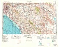
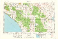
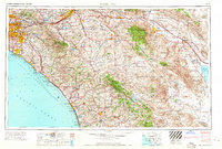
United States Geological Survey topographic sheets whose coverage includes this point. Matched by taking the coordinate the National Park Service records for this property, then testing that coordinate against the published boundary of every sheet.
Other National Register properties close enough to walk or drive between, ordered by distance from this one. Both positions come from the same geocoding pass that matched these properties to their map sheets.
| Photograph | Property | Distance | Listed |
|---|---|---|---|
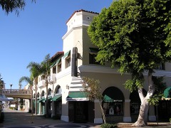 | Balboa Inn | under 500 feet | 1986 |
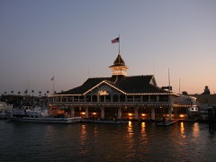 | Balboa Pavilion | 0.1 miles | 1984 |
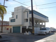 | Lovell Beach House | 0.9 miles | 1974 |
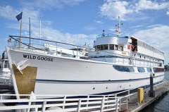 | WILD GOOSE (yacht) | 1.7 miles | 2011 |
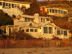 | Crystal Cove Historic District | 3.9 miles | 1979 |
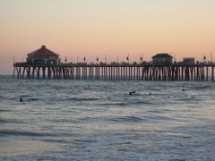 | Huntington Beach Municipal Pier | 7.0 miles | 1989 |
| National Archives record | The nomination case file for reference 86001903 in Record Group 79. |
| Orange County | All 136 listed properties in this county. |