Block
BlockFrom the record
One of 44 National Register listings published here for Fresno County · listed in 1991 · category: Building.
Sources: the case file at the National Archives · the National Register database, National Park Service
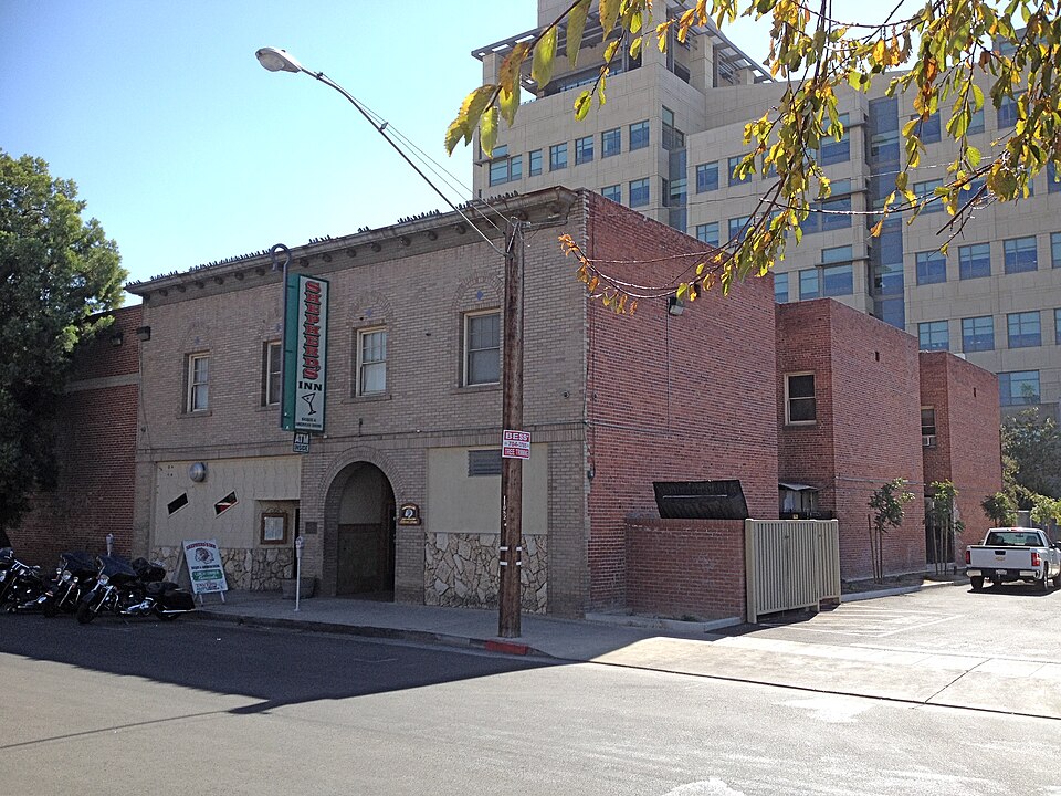
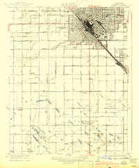
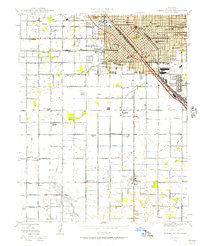
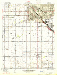
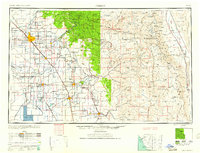
Listed on the National Register of Historic Places in 1991. 13 historic topographic surveys show this location, the earliest from 1923.
One of 44 National Register listings published here for Fresno County · listed in 1991 · category: Building.
Sources: the case file at the National Archives · the National Register database, National Park Service
Regional context, not property-specific evidence. The federal wildfire occurrence database lists 1,285 fires within 5 miles of Santa Fe Hotel between 1992 and 2020, burning about 1,580 acres in total. 2 started naturally. 139 were recorded as arson. Distance is straight-line from the map coordinates, so a fire counted here may appear on a neighbouring settlement's page as well.
| Reported cause | Fires |
|---|---|
| Missing data/not specified/undetermined | 867 |
| Arson/incendiarism | 139 |
| Equipment and vehicle use | 109 |
| Debris and open burning | 76 |
| Misuse of fire by a minor | 61 |
| Smoking | 28 |
| Power generation/transmission/distribution | 3 |
| Natural | 2 |
The most recent of them, most recent first, with the day each was reported and the service that recorded it.
| Date | Cause | Size | Reported by | Name on the report |
|---|---|---|---|---|
| 9 September 2019 | Missing data/not specified/undetermined | under an acre | Fresno-Kings Unit | not named |
| 9 September 2018 | Missing data/not specified/undetermined | under an acre | California Department of Forestry & Fire Protection | not named |
| 9 September 2017 | Missing data/not specified/undetermined | under an acre | California Department of Forestry & Fire Protection | not named |
| 9 September 2011 | Arson/incendiarism | 1.0 acres | Fresno-Kings Unit | MARTIN L KING JR BL FRES |
| 9 September 2007 | Misuse of fire by a minor | 1.0 acres | California Department of Forestry & Fire Protection | not named |
| 8 September 2011 | Misuse of fire by a minor | under an acre | Fresno-Kings Unit | WILLOW |
| 8 September 2008 | Missing data/not specified/undetermined | under an acre | Fresno-Kings Unit | ORANGE |
| 8 September 2003 | Missing data/not specified/undetermined | under an acre | Fresno-Kings Unit | FKU 11182 |
Regional context, not property-specific evidence. The federal mineral resources record lists 6 workings within 5 miles of Santa Fe Hotel: 3 producers, 2 unknowns, 1 past producer. 3 still produce. What was taken out: Sand and Gravel, Construction, Clay, Gold, Silver. Distance is straight-line from the map coordinates, so a quarry counted here may appear on a neighbouring settlement's page as well.
| Where | Site | Commodity | Status | Recorded |
|---|---|---|---|---|
| Fred Santoni Lonestar Mill | Gold, Silver | Unknown | ||
| Clay Pit | Clay | Unknown | ||
| Craycroft Brick Co. | Clay | Producer | ||
| Builders Concrete Inc | Sand and Gravel, Construction | Producer | ||
| De Paree Pit and Mill | Sand and Gravel, Construction | Past Producer | ||
| Pacific Cement and Aggregates | Sand and Gravel, Construction | Producer |
Regional context, not property-specific evidence. The National Weather Service names Fresno, the town this property stands in, in 55 storm reports between 1994 and 2019: 15 heavy rain, 13 hail, 8 flood, 6 tornado. No death or injury is recorded in these reports. Each account below is quoted exactly as the forecast office filed it, from the NOAA Storm Events Database, and each date opens the federal record of that event.
| When | Event | Place named | Harm | What the report says |
|---|---|---|---|---|
| August 1997 | Wildfire | Fresno | $1,900,000 | Named the "Choke Fire" it burned more than 3900 acres in the high country of the Southern Sierra Nevada in the Sequoia National Forest. It was a lightning caused fire from thunderstorms associated with monsoonal moisture. |
| February 1998 | Heavy Rain | Fresno | $1,600,000 | no account filed |
| May 1997 | Lightning | Fresno | $1,500,000 | no account filed |
| May 1995 | Thunderstorm Wind | Fresno | $500,000 | A National Weather Service survey team along with eyewitness accounts describe the damage path of high wind and hail from a severe thunderstorm through an area three miles wide and 19 miles long starting 15 miles east of Fresno. Numerous large, old oak trees were felled taking down power lines and in two instances falling on houses. Hail in excess of one inch also occurred and combined with the high wind caused major agricultural damage to this section of rural Fresno County. Toward the easternmost portion of the damage path the width had expanded to a little over five miles. This cell is likely the same one that supported 1745 PDT tornado activity at Fresno. Crop damage was extensive with nearly $17 million damage caused by hail/wind stripping trees of leaves and early fruit set of both deciduous and late citrus. Five head of livestock were also killed. Radar reflectivity reached 71 dBZ with this cell. |
| March 1994 | Hail | Fresno | $500,000 | no account filed |
| April 2001 | Thunderstorm Wind | Fresno | $350,000 | Storm analysis and survey concluded that two straight line wind events occurred within a few minutes of each other in and around the California State University Campus in North Fresno. An initial gust from the southwest was followed closely by another from the west-northwest. Large trees and roof damage was noted in clearly distinct damage areas. Some evidence existed for rotation by debris but the likely culprit was some gustnado action on the leading edge of the outflows. Convection was noted on radar immediately to the south and west at the time of the event but note overhead. The largest damage track was close to 0.75 miles and up to 1/8 mile wide. |
| May 1996 | Thunderstorm Wind | Fresno | $150,000 | no account filed |
| November 1999 | Heavy Rain | Fresno | $50,000 | The first substantial autumn rain (and first since 4/12/99) led to transmission line transformer shorts and power loss to 14,000 local utility customers in the Central and Southern San Joaquin Valley. The problems were repaired by the afternoon of the 8th. Rainfall amounts on the San Joaquin Valley floor varied from 0.20 to 0.66 of an inch of rain ... and 1.0 to 1.5 inches in the adjacent foothills. |
| May 1995 | Tornado (F0) | Fresno | $50,000 | A National Weather Service (NWS) survey team along with eyewitness accounts concluded a weak F0 tornado briefly occurred in the vicinity of the Fresno Fairgrounds. Light roof damage, a damaged car, and an uprooted tree were observed. The tornado was observed heading east but no other damage was reported in this vicinity. Roof damage estimated at $50 thousand. A "meso" was reported by Doppler Radar about the time of the event. |
| May 1995 | Tornado (F0) | Fresno | $50,000 | Spotter reports and county sheriff indicated a tornado at 1415 PDT 14 WSW of Fresno Air Terminal moving west-to-east for approximately one mile. Occurrence in a rural area of the county with crop damage unassessed and other damage limited to broken tree limbs, small objects moved such as a camper shell, some structural damage to roofs, and windows broken. The tornado was visible from 14 miles away by the observer at the Fresno Air Terminal with an United States Aviation Observation taken. This event was also captured on video. Dime to nickel-size hail also occurred with the event; a month late spotter report also indicated that three-quarters inch hail occurred with the event (A Severe Thunderstorm Warning was being issued as the tornado was observed; Tornado Warning issuance instead). |
| October 2007 | Heavy Rain | Fresno | $50,000 | no account filed |
| April 1996 | Flood | Fresno | $30,000 | no account filed |
| April 2012 | Flood | Fresno | $25,000 | Trained spotters and local media reported flooding near CSU Fresno, road 80 near Dinuba, downtown Fresno at the Second Street ramp. |
| November 1997 | Tornado (F0) | Fresno | $10,000 | Very small F0 tornado with damage to small rural structures and fencing. Path width by witness at 10-15 yards. Tornado accompanying convective band sweeping southwest to northeast through east-Central San Joaquin Valley. |
| February 1998 | Thunderstorm Wind | Fresno | $1,000 | Thunderstorm wind downed a tree at Van Ness and Garland in Fresno. |
| November 1997 | Tornado (F0) | Fresno | $1,000 | Apparently very small tornado (F0) or gustnado accompanied a line of convection through the east-Central San Joaquin Valley. Tornado/gustnado path was from SSE to NNW. Damage confined to minor roof damage and uprooting small trees in a north Clovis suburb. |
| April 2003 | Heavy Rain | Fresno | $1,000 | no account filed |
| May 2019 | Heavy Rain | Fresno | - | Broadcast media reported that over 60 percent of the cherry crop in Fresno County was destroyed by the persistent rains that took place during the two storms that impacted the area between May 15 and May 19. There was also substantial damage to strawberries and carrots. |
| July 2004 | Wildfire | Fresno | - | The Peterson Fire burned only 73 acres near Shaver Lake but it cost $856K to fight. There were no injuries nor were any structures reported as lost. |
| May 2002 | Lightning | Fresno | - | Lightning strikes (2) in close proximity to overhead aircraft approaching Fresno Air Terminal. |
| January 1998 | Flood | Fresno | - | Small hail and heavy rain led to numerous intersections and streets being flooded within North-Central Fresno. The small hail piled up 2-3 inches deep thereby plugging drains and contributing to the overall urban flooding problems. |
| June 1995 | Thunderstorm Wind | Fresno | - | Spotter reports of three-quarters hail in north-central Fresno associated with the passage of a line of thunderstorms from southwest through northeast through the central San Joaquin Valley. No reports of damage were received. |
| January 2005 | Lightning | Fresno | - | no account filed |
| April 2005 | Hail | Fresno | - | no account filed |
| April 2005 | Funnel Cloud | Fresno | - | no account filed |
| April 2005 | Heavy Rain | Fresno | - | no account filed |
| December 2003 | Heavy Rain | Fresno | - | no account filed |
| April 2003 | Heavy Rain | Fresno | - | no account filed |
| May 2002 | Heavy Rain | Fresno | - | no account filed |
| November 2002 | Flood | Fresno | - | no account filed |
| March 2001 | Flood | Fresno | - | no account filed |
| February 2001 | Hail | Fresno | - | no account filed |
| April 2001 | Hail | Fresno | - | no account filed |
| November 2001 | Flood | Fresno | - | no account filed |
| March 2000 | Heavy Rain | Fresno | - | no account filed |
| June 2000 | Heavy Rain | Fresno | - | no account filed |
| February 2000 | Heavy Rain | Fresno | - | no account filed |
| October 2000 | Flood | Fresno | - | no account filed |
| October 2000 | Lightning | Fresno | - | no account filed |
| May 1998 | Heavy Rain | Fresno | - | no account filed |
| April 1996 | Hail | Fresno | - | no account filed |
| April 1996 | Tornado (F0) | Fresno | - | no account filed |
| April 1996 | Hail | Fresno | - | no account filed |
| April 1996 | Hail | Fresno | - | no account filed |
| December 1996 | Heavy Rain | Fresno | - | no account filed |
| November 1996 | Hail | Fresno | - | no account filed |
| October 1996 | Tornado (F0) | Fresno | - | no account filed |
| March 1996 | Flood | Fresno | - | no account filed |
| March 1996 | Hail | Fresno | - | no account filed |
| March 1996 | Hail | Fresno | - | no account filed |
| March 1996 | Hail | Fresno | - | no account filed |
| March 1996 | Funnel Cloud | Fresno | - | no account filed |
| October 1996 | Hail | Fresno | - | no account filed |
| October 1996 | Hail | Fresno | - | no account filed |
| October 1996 | Heavy Rain | Fresno | - | no account filed |
United States Geological Survey topographic sheets whose coverage includes this point. Matched by taking the coordinate the National Park Service records for this property, then testing that coordinate against the published boundary of every sheet.
Other National Register properties close enough to walk or drive between, ordered by distance from this one. Both positions come from the same geocoding pass that matched these properties to their map sheets.
| Photograph | Property | Distance | Listed |
|---|---|---|---|
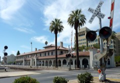 | Santa Fe Passenger Depot | under 500 feet | 1976 |
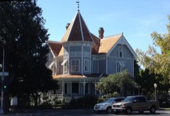 | Meux House | 0.1 miles | 1975 |
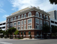 | Maulbridge Apartments | 0.2 miles | 1982 |
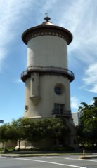 | Old Fresno Water Tower | 0.2 miles | 1971 |
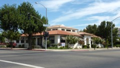 | Physicians Building | 0.2 miles | 1978 |
| Rehorn House | 0.3 miles | 1982 |
| National Archives record | The nomination case file for reference 91000287 in Record Group 79. |
| Fresno County | All 44 listed properties in this county. |