Block
BlockFrom the record
One of 136 National Register listings published here for Orange County · listed in 1994 · category: Building.
Sources: the case file at the National Archives · the National Register database, National Park Service
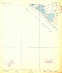
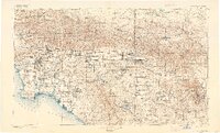
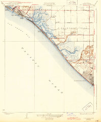
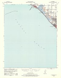
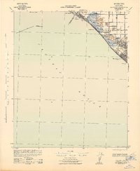
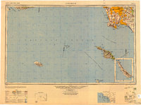
Listed on the National Register of Historic Places in 1994. 16 historic topographic surveys show this location, the earliest from 1896.
One of 136 National Register listings published here for Orange County · listed in 1994 · category: Building.
Sources: the case file at the National Archives · the National Register database, National Park Service
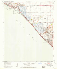
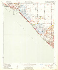
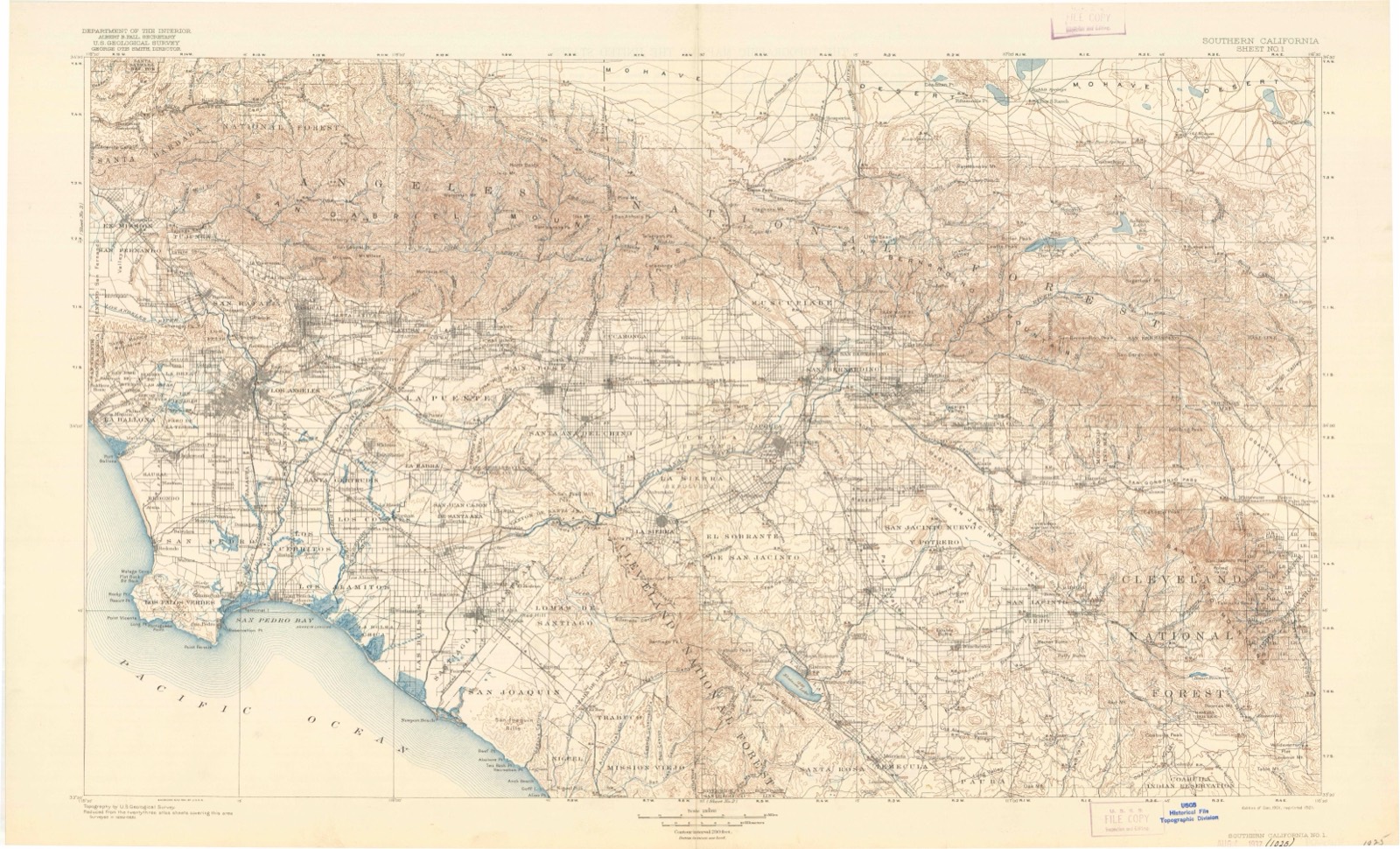
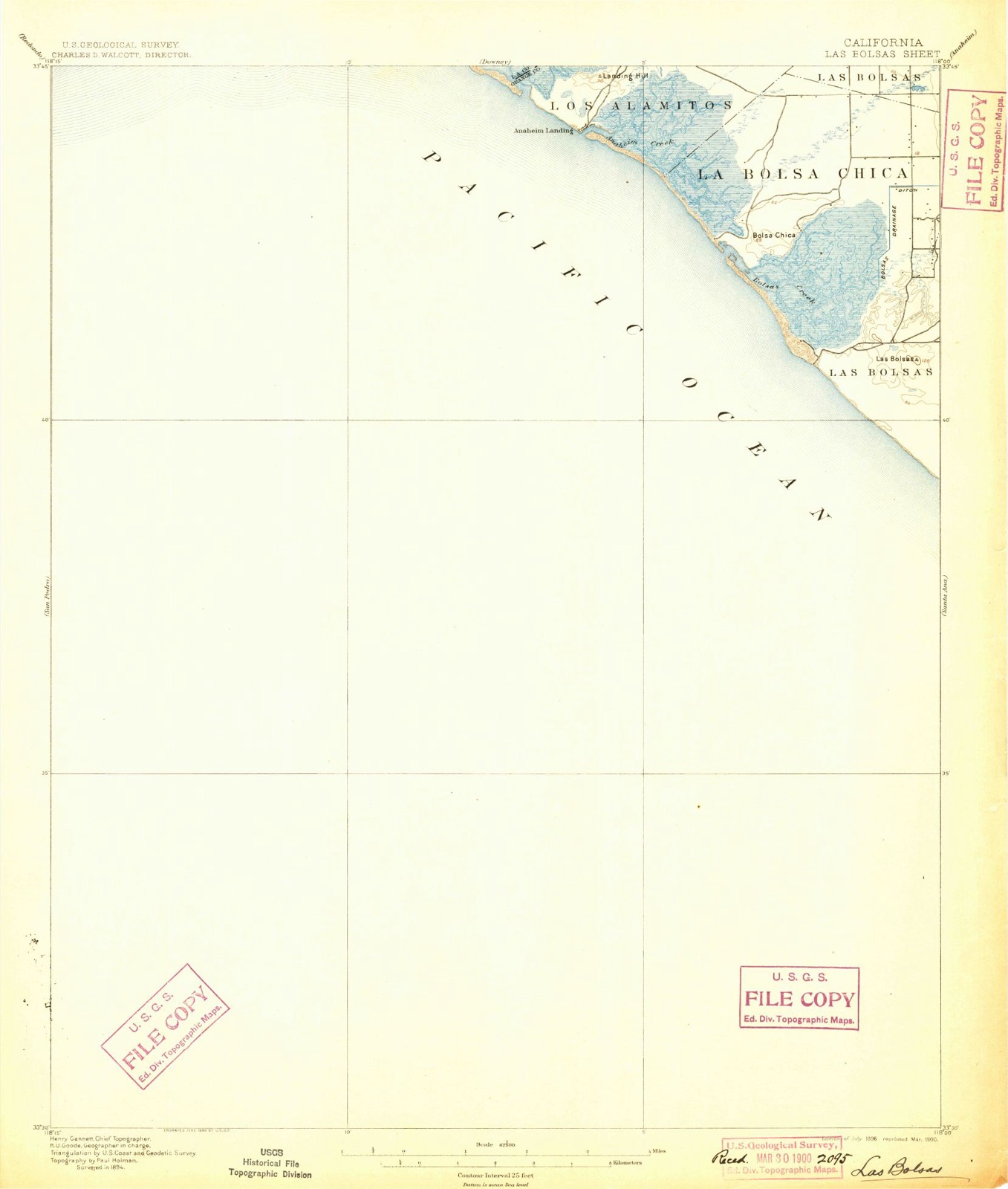
The ground this property stands on, surveyed 5 years apart. Drag the handle to wipe between them. Both sheets are United States Geological Survey originals; neither has been altered.
Regional context, not property-specific evidence. The federal wildfire occurrence database lists 240 fires within 5 miles of Huntington Beach Elementary School Gymnasium and Plunge between 2005 and 2020, burning about 104 acres in total. None started naturally. 31 were recorded as arson. Distance is straight-line from the map coordinates, so a fire counted here may appear on a neighbouring settlement's page as well.
| Reported cause | Fires |
|---|---|
| Missing data/not specified/undetermined | 166 |
| Arson/incendiarism | 31 |
| Equipment and vehicle use | 13 |
| Smoking | 12 |
| Misuse of fire by a minor | 12 |
| Debris and open burning | 5 |
| Recreation and ceremony | 1 |
The most recent of them, most recent first, with the day each was reported and the service that recorded it.
| Date | Cause | Size | Reported by | Name on the report |
|---|---|---|---|---|
| 8 September 2009 | Debris and open burning | under an acre | California Department of Forestry & Fire Protection | not named |
| 3 September 2006 | Smoking | under an acre | California Department of Forestry & Fire Protection | not named |
| 3 September 2005 | Missing data/not specified/undetermined | 1.0 acres | California Department of Forestry & Fire Protection | not named |
| 25 September 2010 | Missing data/not specified/undetermined | under an acre | California Department of Forestry & Fire Protection | not named |
| 24 September 2018 | Missing data/not specified/undetermined | under an acre | California Department of Forestry & Fire Protection | not named |
| 23 September 2006 | Smoking | under an acre | California Department of Forestry & Fire Protection | not named |
| 2 September 2017 | Missing data/not specified/undetermined | under an acre | California Department of Forestry & Fire Protection | not named |
| 18 September 2006 | Missing data/not specified/undetermined | under an acre | California Department of Forestry & Fire Protection | not named |
Regional context, not property-specific evidence. The federal mineral resources record lists 3 workings within 5 miles of Huntington Beach Elementary School Gymnasium and Plunge: 2 past producers, 1 producer. 1 still produces. What was taken out: Sand and Gravel, Construction, Clay. Distance is straight-line from the map coordinates, so a quarry counted here may appear on a neighbouring settlement's page as well.
| Where | Site | Commodity | Status | Recorded |
|---|---|---|---|---|
| La Bolsa Tile Co. | Clay | Past Producer | ||
| Huntington Beach Asphalt and Rock | Sand and Gravel, Construction | Producer | ||
| Huntington Beach Plant Sully-Miller | Sand and Gravel, Construction | Past Producer |
Regional context, not property-specific evidence. The National Weather Service names Huntington Beach, the town this property stands in, in 36 storm reports between 1997 and 2026: 8 rip current, 7 flood, 5 funnel cloud, 4 heavy rain. The reports record 5 deaths and 17 injuries. Each account below is quoted exactly as the forecast office filed it, from the NOAA Storm Events Database, and each date opens the federal record of that event.
| When | Event | Place named | Harm | What the report says |
|---|---|---|---|---|
| February 2000 | Heavy Rain | Huntington Beach | 1 killed, 4 hurt, $300,000 | no account filed |
| July 2003 | Rip Current | Huntington Beach | 1 killed | no account filed |
| June 2003 | Rip Current | Huntington Beach | 1 killed | no account filed |
| November 2002 | Rip Current | Huntington Beach | 1 killed | no account filed |
| August 2001 | Rip Current | Huntington Beach | 1 killed | no account filed |
| December 2002 | Rip Current | Huntington Beach | 5 hurt, $20,000 | no account filed |
| June 1999 | High Surf | Huntington Beach | 3 hurt, $250,000 | Choppy seas and large swells capsized a 34 foot fishing boat. The crew of three men were rescued and suffered only minor injuries. |
| May 2000 | Rip Current | Huntington Beach | 2 hurt | no account filed |
| August 2000 | Rip Current | Huntington Beach | 2 hurt | no account filed |
| July 2003 | Rip Current | Huntington Beach | 1 hurt | no account filed |
| February 2005 | Heavy Rain | Huntington Beach | $20,000,000 | no account filed |
| March 2000 | Thunderstorm Wind | Huntington Beach | $100,000 | no account filed |
| February 2004 | Flash Flood | Huntington Beach | $75,000 | no account filed |
| February 1998 | Tornado (F0) | Huntington Beach | $20,000 | no account filed |
| February 2005 | Tornado (F0) | Huntington Beach | $15,000 | A waterspout came within 100 yards of the Huntington Beach Pier before coming ashore near PCH and 14th Street. Multiple vehicles were damaged by downed trees and power poles along 14th Street. Spotters reported pea to dime size hail with this storm. |
| December 1997 | Tornado (F1) | Huntington Beach | $15,000 | Thunderstorms in advance of a strong low pressure trough, spawned a tornado that briefly touched down off of Huntington Beach, and moved onshore, crossing Highway 1, into Huntington Harbor. The twister ripped at least 6 boats from their moorings, damaged trees, ripped a 40-foot metal light pole out of the ground, tossed a 150 pound iron bench into a spa, and ripped a 25 foot section of roof from a home. Damage to the roof alone was estimated at $15,000. |
| February 2001 | Thunderstorm Wind | Huntington Beach | $10,000 | no account filed |
| March 2015 | Hail | Huntington Beach | $100 | A series of thunderstorms dropped up to 1 inch depth accumulation of 0.5-in diameter hail on Huntington Beach. The hail covered the beach near Huntington Beach Pier and numerous roads within the city of Huntington Beach. The event received widespread attention from local and national media and extensive social media photos. |
| January 2026 | Flood | Huntington Beach | - | Road closure on Southbound Hwy 1 from Warner Ave to Seapoint St due to flood control. |
| February 2026 | Flood | Huntington Beach | - | All lanes northbound and southbound at PCH from Seapoint Street to Warner Avenue are closed due to water over road. Area received 0.75 to 1 inch of rain over 6 hours. |
| November 2025 | Flood | Huntington Beach | - | Dept of Highways reported Hwy 1 (Pacific Hwy) being closed due to flooding from Seapoint St to Warner Ave. Gauge just north of the area. |
| January 2024 | Flood | Huntington Beach | - | CalTrans report of a road closure on SR1 due to flooding, photo received on social media as well. |
| January 2019 | Heavy Rain | Huntington Beach | - | Huntington Beach received 1.25 inches of rainfall in one hour between 2000 and 2100 PST on January 15th. Local officials closed the Pacific Coast Highway (route 1) at approximately 9pm January 15th and kept it closed through the afternoon hours of January 16th. |
| January 2019 | Heavy Rain | Huntington Beach | - | CalTrans reported Pacific Coast Highway (highway 1) closed due to flooding. This area received around 0.5 inch of rainfall in 2 hours. |
| November 2019 | Flash Flood | Huntington Beach | - | Pacific Coast Highway was closed from Seapoint Street to Warner Avenue due to flooding. |
| February 2012 | Funnel Cloud | Huntington Beach | - | A Huntington Beach Lifeguard reported three funnel clouds approximately 4 miles offshore, sometime between 0800 and 0830 PST on the 14th. The funnel clouds dissipated without lowering to the water. |
| January 2005 | Funnel Cloud | Huntington Beach | - | Lifeguards reported a funnel cloud 10 miles west of the Huntington Beach Pier. |
| January 2001 | Flood | Huntington Beach | - | Thunderstorms dropped brief heavy rain and small hail, causing roads to flood and indirectly contributed to 300 vehicle accidents. |
| April 1999 | Flood | Huntington Beach | - | Heavy rain caused flooding of low lying areas and streets in the north and west portions of Orange County. The Pacific Coast Highway was closed for six and a half hours between Warner Avenue and Seapoint Avenue. |
| January 2005 | Funnel Cloud | Huntington Beach | - | no account filed |
| February 2004 | Funnel Cloud | Huntington Beach | - | no account filed |
| January 2001 | Flood | Huntington Beach | - | no account filed |
| March 1998 | Funnel Cloud | Huntington Beach | - | no account filed |
| March 1998 | Waterspout | Huntington Beach | - | no account filed |
| March 1998 | Waterspout | Huntington Beach | - | no account filed |
| March 1998 | Waterspout | Huntington Beach | - | no account filed |
United States Geological Survey topographic sheets whose coverage includes this point. Matched by taking the coordinate the National Park Service records for this property, then testing that coordinate against the published boundary of every sheet.
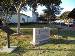
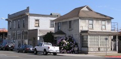
Other National Register properties close enough to walk or drive between, ordered by distance from this one. Both positions come from the same geocoding pass that matched these properties to their map sheets.
| Photograph | Property | Distance | Listed |
|---|---|---|---|
 | Huntington Beach Public Library on Triangle Park | 0.6 miles | 2013 |
 | Helme-Worthy Store and Residence | 0.8 miles | 1987 |
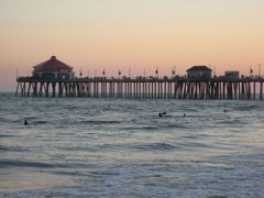 | Huntington Beach Municipal Pier | 0.9 miles | 1989 |
| Huntington Beach Municipal Pier | 1.1 miles | 1989 |
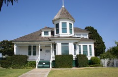 | Newland House | 1.1 miles | 1985 |
| ELECTRA (motor yacht) | 4.7 miles | 2023 |
| National Archives record | The nomination case file for reference 94001499 in Record Group 79. |
| Orange County | All 136 listed properties in this county. |