BlockBefore
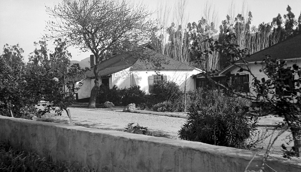
Photograph of Rancho Camulos
Photograph by Norris M. Knaus, Public domain. Via Wikimedia Commons.

Rancho Camulos

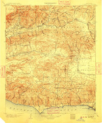
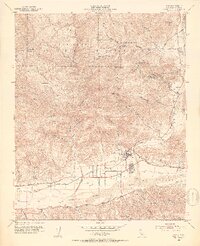
A National Historic Landmark. Listed on the National Register of Historic Places in 1996. 14 historic topographic surveys show this location, the earliest from 1900.

From the record

“Rancho Camulos, now known as Rancho Camulos Museum, is a ranch located in the Santa Clara River Valley 2.2 miles (3.5 km) east of Piru, California, and just north of the Santa Clara River, in Ventura County, California. It was the home of Ygnacio del Valle, a Californio alcalde of the Pueblo de Los Angeles in the 19th century and later elected member of the California State Assembly.”

Wikipedia article Rancho Camulos, CC BY-SA 4.0.

One of 39 National Register listings published here for Ventura County · listed in 1996 · category: District · a National Historic Landmark.

Sources: the Wikipedia article · the case file at the National Archives · the National Register database, National Park Service
The listing

  • Address. 5164 E. Telegraph Rd., Piru, 93015
  • When was it listed? November 1996
  • Category. district
  • Census division. Fillmore
  • Architectural style. Spanish Colonial Revival architecture
  • National Register reference number. 96001137 - the number the National Park Service assigned this property when it was listed, and the key its nomination file is catalogued under at the National Archives.

Then and now

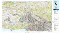
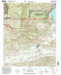
1900 to 1995

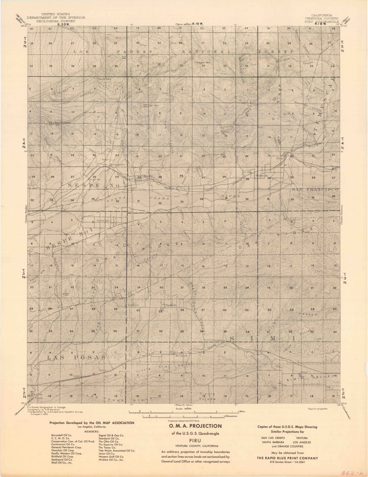
The ground this property stands on, surveyed 95 years apart. Drag the handle to wipe between them. Both sheets are United States Geological Survey originals; neither has been altered.

Topographic sheet covering Rancho Camulos, surveyed 1995
Topographic sheet covering Rancho Camulos, surveyed 1900

Fires near this property

19 since 1992

Regional context, not property-specific evidence. The federal wildfire occurrence database lists 19 fires within 5 miles of Rancho Camulos between 1992 and 2020, burning about 13,875 acres in total. None started naturally. 1 was recorded as arson. Distance is straight-line from the map coordinates, so a fire counted here may appear on a neighbouring settlement's page as well.

Reported cause Fires
Missing data/not specified/undetermined14
Equipment and vehicle use2
Arson/incendiarism1
Debris and open burning1
Misuse of fire by a minor1

The most recent of them, most recent first, with the day each was reported and the service that recorded it.

DateCause SizeReported by Name on the report
21 September 2010Arson/incendiarismunder an acreAngeles National ForestMULTIPLE
17 August 2020Missing data/not specified/undetermined2,151 acresVentura County Fire DepartmentHOLSER
8 July 2010Equipment and vehicle use3.0 acresCalifornia Department of Forestry & Fire Protectionnot named
18 July 1997Debris and open burning43 acresLos Padres National ForestTEMESCAL
18 July 1992Missing data/not specified/undeterminedunder an acreAngeles National ForestDART
17 July 1999Missing data/not specified/undetermined2,000 acresCalifornia Southern Region OperationsHOLSER CA VNC 18889
16 July 1998Missing data/not specified/undeterminedunder an acreLos Padres National ForestDAY
14 July 1996Misuse of fire by a minorunder an acreLos Padres National ForestDAY

Every fire recorded in Ventura County

Mines and quarries near this property

1 within 5 miles

Regional context, not property-specific evidence. The federal mineral resources record lists 1 working within 5 miles of Rancho Camulos: 1 prospect. None of them still produces. What was taken out: Gold. Distance is straight-line from the map coordinates, so a quarry counted here may appear on a neighbouring settlement's page as well.

Where SiteCommodity StatusRecorded
Cic ProspectGoldProspect

Every working recorded in Ventura County

Storms near this property

5 since 1997

Regional context, not property-specific evidence. The National Weather Service names Piru, the town this property stands in, in 5 storm reports between 1997 and 2016: 3 wildfire, 2 flash flood. The reports record 7 injuries. Each account below is quoted exactly as the forecast office filed it, from the NOAA Storm Events Database, and each date opens the federal record of that event.

WhenEvent Place namedHarm What the report says
October 1998WildfirePiru7 hurt, $400,000The combination of dry vegetation and offshore winds fueled a wildfire in the Santa Clara Valley. The Piru Fire, started by sparks from a welder's torch, burned over 12,500 acres between the communities of Piru and Fillmore. Sixty power poles and 1700 agricultural trees were either lost or damaged. Several homes in Fillmore were evacuated. Seven minor injuries were reported.
August 1997WildfirePiru$5,000,000no account filed
January 2016Flash FloodPiru-Heavy rainfall over the community of Piru resulted in a mud and debris flow. The intersection of Main Street and Piru Canyon Road was blocked by mud and debris.
October 2006Flash FloodPiru-An area of intense showers and embedded thunderstorms moved across the Day Fire burn area. Flash flooding with mud and debris flows were reported in and around the Hungry Valley Recreational Area by fire officials on the Day Fire.
October 2003WildfirePiru-The Piru Fire, aided by gusty Santa Ana winds, burned thousands of acres in Ventura county. As of the end of October, the fire had yet to be fully contained. The fire burned over 60,000 acres of forest in Ventura County by the end of the month and destroyed one residence.

Every storm recorded in Ventura County

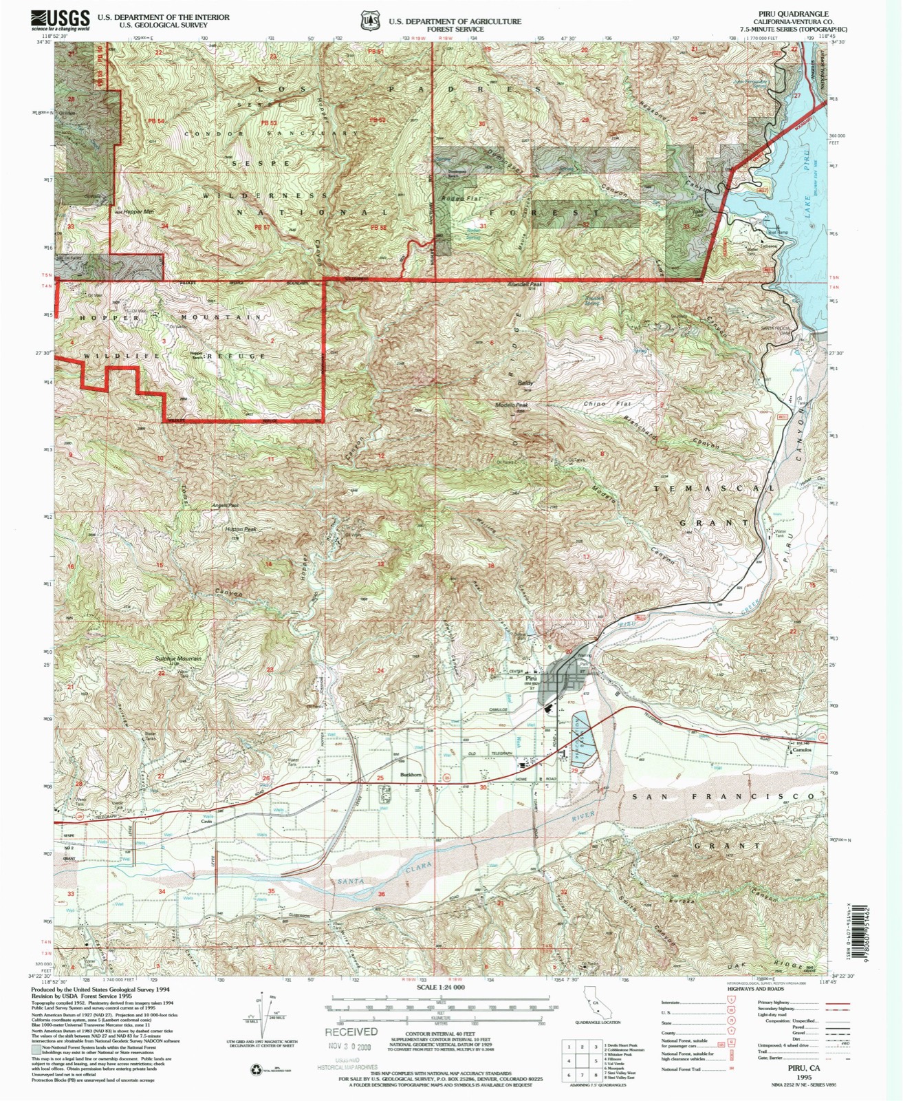
Maps showing this location

14 surveys

United States Geological Survey topographic sheets whose coverage includes this point. Matched by taking the middle of the area the National Park Service maps for this listing, then testing that coordinate against the published boundary of every sheet.

Sources for this property

National Archives recordThe nomination case file for reference 96001137 in Record Group 79.
Wikipedia articleCommunity-written account of this property, licensed CC BY-SA.
Ventura CountyAll 39 listed properties in this county.

Provenance

  • Listing record. National Park Service National Register of Historic Places, listed-properties dataset, current to 2026-05-22.
  • Map join. Address geocoded through the United States Census geocoder, then tested against the published boundary of every sheet in the USGS Historical Topographic Map Collection.
  • How this page is made. Listing fields come from federal records; map-sheet coverage is a labelled coordinate-to-boundary calculation, not a source-field claim.
  • Wildfire. Short, Karen C. 2022. Spatial wildfire occurrence data for the United States, 1992-2020 [FPA_FOD_20221014]. 6th Edition. Fort Collins, CO: Forest Service Research Data Archive. https://doi.org/10.2737/RDS-2013-0009.6 Collected with United States Government funding and usable without additional permissions or fees.
  • Mines and quarries. USGS Mineral Resources Data System (MRDS) https://mrdata.usgs.gov/mrds/ A work of the United States government, no copyright under 17 U.S.C. 105.
  • Storms. NOAA National Centers for Environmental Information, Storm Events Database https://www.ncei.noaa.gov/stormevents/ A work of the United States government, no copyright under 17 U.S.C. 105. Narratives are quoted verbatim from the National Weather Service report and are not edited or summarised.