 Block
Riverside, Colorado
27 topographic sheets cover this place, the earliest surveyed in 1902 and the latest in 1984. It stands in the Upper St. Vrain census division. It lies in ZIP code area 80540. The Survey maps it on the Raymond quadrangle.
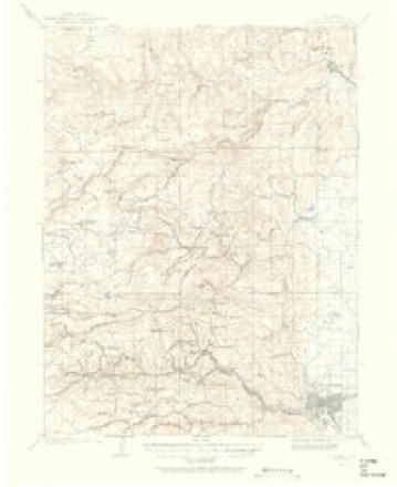
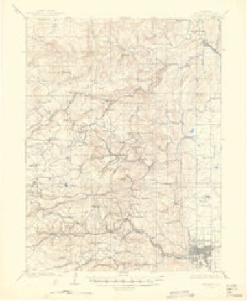
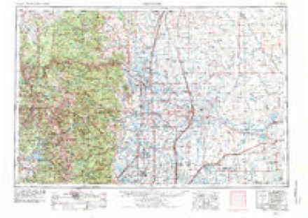
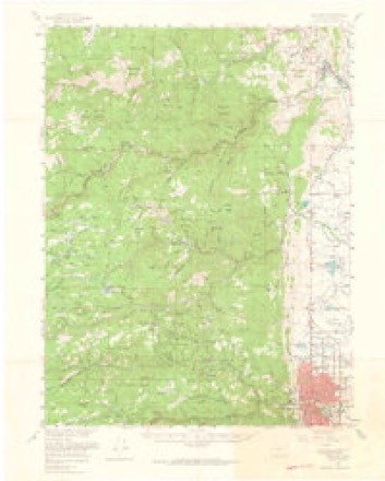
Topographic sheets covering this place
11 surveys from 27 printed sheetsMatched by testing this settlement's coordinate against the published boundary of every sheet in the United States Geological Survey's historical collection. Each opens the scanned sheet at the Survey.
- 1902 USGS Boulder quadrangle1:62500
- 1904 USGS Boulder quadrangle1:62500, 6 printings
- 1954 USGS Greeley quadrangle1:250000, 3 printings
- 1957 USGS Boulder quadrangle1:62500, 3 printings
- 1957 USGS Greeley quadrangle1:250000
- 1957 USGS Raymond quadrangle1:24000, 6 printings
- 1958 USGS Greeley quadrangle1:250000
- 1961 USGS Greeley quadrangle1:250000
- 1964 USGS Greeley quadrangle1:250000
- 1965 USGS Greeley quadrangle1:250000
- 1984 USGS Estes Park quadrangle1:100000, 3 printings
Fires near this place
140 since 1992Regional context, not property-specific evidence. The federal wildfire occurrence database lists 140 fires within 5 miles of Riverside between 1992 and 2020, burning about 14,139 acres in total. 41 started naturally. 1 was recorded as arson. Distance is straight-line from the map coordinates, so a fire counted here may appear on a neighbouring settlement's page as well.
| Reported cause | Fires |
|---|---|
| Missing data/not specified/undetermined | 66 |
| Natural | 41 |
| Recreation and ceremony | 20 |
| Equipment and vehicle use | 5 |
| Smoking | 3 |
| Debris and open burning | 2 |
| Power generation/transmission/distribution | 1 |
| Fireworks | 1 |
| Arson/incendiarism | 1 |
The most recent of them, most recent first, with the day each was reported and the service that recorded it.
| Date | Cause | Size | Reported by | Name on the report |
|---|---|---|---|---|
| 9 September 1992 | Recreation and ceremony | under an acre | Arapaho and Roosevelt National Forests and Pawnee National Grassland | not named |
| 7 September 1992 | Debris and open burning | under an acre | Colorado State Forest Service-Boulder District | not named |
| 6 September 2015 | Recreation and ceremony | under an acre | Arapaho and Roosevelt National Forests and Pawnee National Grassland | TAYLOR MOUNTAIN |
| 5 September 2020 | Missing data/not specified/undetermined | under an acre | Lefthand Fire Protection District | N/A |
| 5 September 2013 | Natural | under an acre | Arapaho and Roosevelt National Forests and Pawnee National Grassland | SLAUGHTERHOUSE |
| 5 September 2013 | Natural | 1.0 acres | Lefthand Fire Protection District | UNKNOWN |
| 5 September 2010 | Recreation and ceremony | under an acre | Arapaho and Roosevelt National Forests and Pawnee National Grassland | BUNCE SCHOOL |
| 30 September 2015 | Recreation and ceremony | under an acre | Allenspark Fire Protection District | UNKNOWN |
Settlements close enough to share some of these fires:
Mines and quarries near this place
10 of 114 shownRegional context, not property-specific evidence. The federal mineral resources record lists 114 workings within 5 miles of Riverside: 61 past producers, 35 occurrences, 15 producers, 2 prospects. 15 still produce. What was taken out: Gold, Fluorine-Fluorite, Silver, Uranium. Distance is straight-line from the map coordinates, so a quarry counted here may appear on a neighbouring settlement's page as well.
| Where | Site | Commodity | Status | Recorded |
|---|---|---|---|---|
| Argo | Uranium, Fluorine-Fluorite, Gold, Silver, Lead, Copper | Producer | Vein | |
| Argo | Fluorine-Fluorite, Gold, Copper, Uranium, Lead, Silver | Past Producer | Fluorspar, Galena, Sphalerite, Pyrite, Tennantite, Chalcopyrite, Enargite | |
| Brown Spar | Fluorine-Fluorite, Uranium | Producer | Vein | |
| Buckhorn | Gold, Silver, Lead, Copper, Fluorine-Fluorite | Past Producer | Pyrite, Chalcopyrite, Galena | |
| Buena | Gold, Silver, Copper | Past Producer | 1879 | |
| Buena Mine | Silver, Gold, Copper, Tungsten, Fluorine-Fluorite | Past Producer | Krennerite, Gold, Sylvanite, Petzite | |
| Burlington | Uranium, Fluorine-Fluorite | Producer | ||
| Cal-Wood Mica Mine | Mica, Feldspar | Past Producer | ||
| Castle Gulch | Gemstone, Silver | Past Producer | ||
| Emmet | Clay | Past Producer |
Storms near this place
2 since 2013Regional context, not property-specific evidence. The National Weather Service names Riverside in 2 storm reports in 2013: 2 flash flood. The reports record 3 deaths and 2 injuries. Each account below is quoted exactly as the forecast office filed it, from the NOAA Storm Events Database, and each date opens the federal record of that event.
| When | Event | Place named | Harm | What the report says |
|---|---|---|---|---|
| September 2013 | Flash Flood | Riverside | 3 killed, 2 hurt | In Boulder, Old Tale Road at McSorley was closed due to debris and downed trees. Debris forced the partial closure of 3rd Street and Canyon and the Eastbound lane of Baseline Road near Foothills Parkway. Flooding was also reported at: 9th and Alpine, 9th and Balsam and South Boulder Road at Manhatten Street. Two teenagers in Boulder were killed when they abandoned their vehicle while trying to flee the floodwaters. The two other occupants suffered minor injuries; one escaped the vehicle while the other remained in the car and was later rescued. In the city of Boulder, 61 properties were destroyed.||In the Fourmile burn area, widespread flash flooding and debris flows forced the closure of Fourmile Canyon at Boulder Canyon. Water was also reportedly flowing over Gold Run Road at Ingram Gulch due to a blocked culvert. Major structural damage occurred in Fourmile Canyon and Jamestown, which forced a mandatory evacuation of all residents. A man in Jamestown was killed when the building he was in collapsed. In the Jamestown area, 26 properties were destroyed. Flash flooding was also reported in Lefthand Canyon. In unincorporated Boulder County, a total of 86 properties were destroyed. |
| September 2013 | Flash Flood | Riverside | - | Flash flooding forced numerous road closures in the city of Boulder including Lookout Road, from 79th to 95th, and South Boulder Road near Cherryvale. In addition, culverts were reportedly overflowing at 51st and Kelso Road. In Erie, Vista Parkway was inundated with 3 ft of standing water. |
Nearest settlements
The eight closest, with where each one stands in the county. Distances are straight-line, computed from the Geographic Names Information System coordinates.
| Map | Place | Distance | Sheets |
|---|---|---|---|
| Raymond | 2.0 miles | 27 | |
| Balarat | 2.4 miles | 27 | |
| Pine Valley | 2.7 miles | 27 | |
| Arrowood | 4.0 miles | 28 | |
| Bark Ranch | 4.0 miles | 28 | |
| Ferncliff | 4.2 miles | 28 | |
| Peaceful Valley | 4.4 miles | 27 | |
| Allenspark | 4.9 miles | 28 |
Provenance
This settlement is recorded in the Geographic Names Information System as feature 178265. The sheet list is computed by point-in-boundary test against the United States Geological Survey's historical topographic inventory. Both are works of the United States government and carry no copyright under 17 U.S.C. 105.
Wildfire. Short, Karen C. 2022. Spatial wildfire occurrence data for the United States, 1992-2020 [FPA_FOD_20221014]. 6th Edition. Fort Collins, CO: Forest Service Research Data Archive. https://doi.org/10.2737/RDS-2013-0009.6 Collected with United States Government funding and usable without additional permissions or fees.
Mines and quarries. USGS Mineral Resources Data System (MRDS) https://mrdata.usgs.gov/mrds/ A work of the United States government, no copyright under 17 U.S.C. 105.
Storms. NOAA National Centers for Environmental Information, Storm Events Database https://www.ncei.noaa.gov/stormevents/ A work of the United States government, no copyright under 17 U.S.C. 105. Narratives are quoted verbatim from the National Weather Service report and are not edited or summarised.