| August 1996 | Flash Flood | Pueblo | 1 killed | no account filed |
| July 1996 | Flash Flood | Pueblo | 5 hurt, $2,000,000 | no account filed |
| August 2006 | Thunderstorm Wind | Pueblo | 3 hurt, $1,000,000 | Severe winds ripped through Pueblo West and mainly the north half of Pueblo causing some flooding and widespread minor damage. Three people suffered minor injuries at the Colorado State Fair when a large tent was upset. There were power outages which affected around 10,000 Pueblo West and Pueblo residents and visitors, some lasting up to two days. |
| August 1994 | Hail | Pueblo | 1 hurt, $10 | Thunderstorms moving through the city of Pueblo dropped as much as 4.50 inches of rain along with 3/4 inch hail. City streets, highways, and underpasses were flooded and closed for a time. Several large trees were downed by thunderstorm winds of unknown speeds. A section of the Pueblo Mall collapsed injuring one person. Damage at the mall was estimated at $350,000. Damage to the library where windows were broke, was estimated at $30,000 to $50,000. Total property damage in Pueblo was estimated to be near $1 million. Weld County Greeley,13,1500MST- *,,1545MST,,,0,0,10.0K,0,Flash Flood Thunderstorms containing heavy rain and small hail caused basement flooding at locations close to a ditch. |
| September 2005 | Lightning | Pueblo | 1 hurt | A 24-year old man was struck by lightning while riding an ATV at the Pueblo Motorsports Park. He was awake and breathing when transported to the hospital. |
| June 2005 | Lightning | Pueblo | 1 hurt | no account filed |
| August 1993 | Hail | Pueblo | $50,000,000 | Hail up to hen egg-size pelted Pueblo, causing an estimated $20 million in damage to autos, residences and businesses. |
| August 1997 | Flood | Pueblo | $25,000,000 | no account filed |
| June 2003 | Hail | Pueblo | $4,000,000 | A couple of slow moving thunderstorms dropped large hail on parts of Pueblo from the southwest to northeast. There was damage primarily to the roofs of structures and vehicles. |
| May 2010 | Hail | Pueblo | $2,000,000 | A long-lasting hailstorm struck the Pueblo area. In areas to the east of Pueblo, hail persisted for around 30 minutes and reached the size of baseballs. |
| July 1996 | Hail | Pueblo | $300,000 | no account filed |
| August 1997 | Lightning | Pueblo | $160,000 | no account filed |
| July 2005 | Lightning | Pueblo | $50,000 | Lightning struck a house on Galbraith Road causing the house to be nearly destroyed. |
| August 2006 | Thunderstorm Wind | Pueblo | $40,000 | Severe winds caused one aircraft to be tipped on its nose...and another aircraft to be overturned at Pueblo Memorial Airport. Both planes were tethered. |
| August 2008 | Lightning | Pueblo | $30,000 | no account filed |
| August 2003 | Lightning | Pueblo | $25,000 | no account filed |
| June 2008 | Dust Devil | Pueblo | $10,000 | no account filed |
| July 2014 | Thunderstorm Wind | Pueblo | $2,000 | A dead tree was struck by lightning then blow down by severe winds. |
| June 2025 | Hail | Pueblo | - | Hail up to 1 inch in diameter fell in central Pueblo County from a severe thunderstorm. |
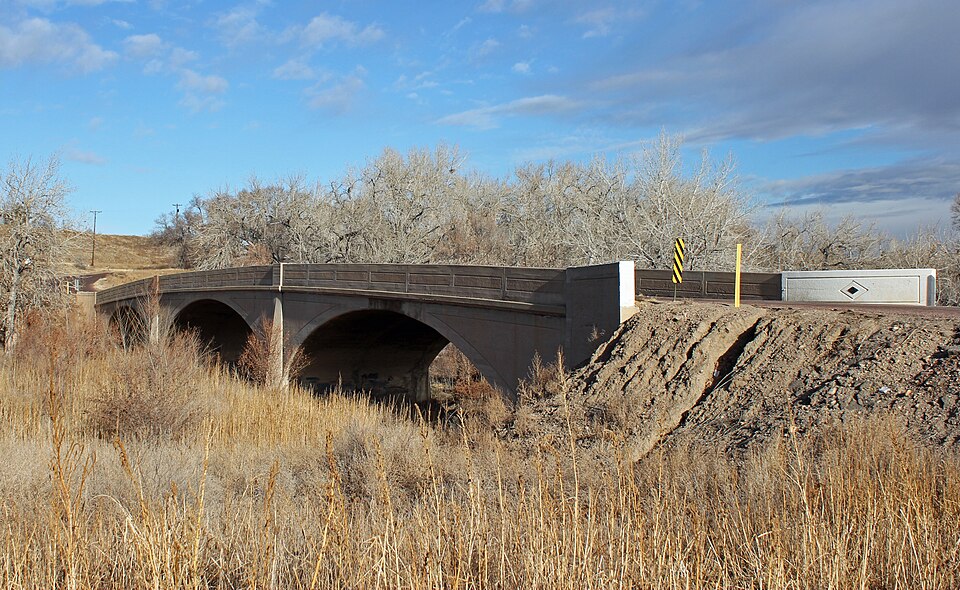
| July 2025 | Flash Flood | Pueblo | - | Report from EM stated that the water on Red Creek has flooded, washing out the road and taking out a bridge. |
| July 2025 | Flash Flood | Pueblo | - | Roadway flooding, road closures, vehicles stranded. |
| August 2024 | Heavy Rain | Pueblo | - | A trained spotter reported 1.50 inches of rain, which occurred during the afternoon through evening with thunderstorms. Pea size hail mixed in. |
| August 2024 | Thunderstorm Wind | Pueblo | - | Public reported thunderstorm wind damage. Branches snapped on some smaller trees, and one window broken on the front of a convenience store. |
| August 2024 | Thunderstorm Wind | Pueblo | - | Public reported thunderstorm wind damage. Trees down near mineral palace park. |
| August 2024 | Hail | Pueblo | - | A public source reported hail of 0.88 inches in diameter. |
| August 2024 | Thunderstorm Wind | Pueblo | - | Public reported tree down in a backyard. Extensive damage to the tree and branches. The tree came down on and destroyed a wooden fence. |
| August 2024 | Thunderstorm Wind | Pueblo | - | Public reported thunderstorm wind damage. Blown down trees and limbs up to 16 inches in diameter. Time estimated by radar. |
| August 2024 | Thunderstorm Wind | Pueblo | - | Public reported thunderstorm wind damage. Roof blown off of building. Time is estimated based on radar. |
| August 2024 | Thunderstorm Wind | Pueblo | - | NWS employee reported a measured thunderstorm wind gust of 58 mph. |
| June 2024 | Heavy Rain | Pueblo | - | Trained spotter reported heavy rain from a thunderstorm, which produced 2.0 inches over a short duration. |
| June 2024 | Heavy Rain | Pueblo | - | Heavy rain from a thunderstorm resulted in 1.0 inch measured within a short duration. |
| June 2024 | Flash Flood | Pueblo | - | Public source reported that there was flash flooding occurring near the steel mill in south Pueblo. |
| August 2023 | Flash Flood | Pueblo | - | Standing water up to around 6 inches at the intersection of Orman and Division. |
| May 2023 | Heavy Rain | Pueblo | - | Heavy thunderstorms, additionally, approximately 0.5 inches of accumulation of hail fell with the heavy rain. Storms began around 3AM. |
| May 2023 | Heavy Rain | Pueblo | - | There was 1.5 inches of rain that fell. |
| June 2023 | Heavy Rain | Pueblo | - | Total precipitation of 1.17 inches occurred in less than 30 minutes. Pea sized hail also reported. |
| June 2023 | Heavy Rain | Pueblo | - | There was 1.38 inches of rain reported. |
| June 2023 | Heavy Rain | Pueblo | - | There was 1.56 inches of rain reported. |
| August 2022 | Flash Flood | Pueblo | - | Flooded roads, mud slide and water into building at the pueblo nature and wildlife center. |
| July 2022 | Heavy Rain | Pueblo | - | Heavy rainfall of 1.43 inches. |
| July 2022 | Flash Flood | Pueblo | - | Reports of stranded and submerged cars with streets closed due to high water on the northwest side of Pueblo near Platteville Blvd. |
| July 2022 | Thunderstorm Wind | Pueblo | - | Three to four inch tree branches down and scattered around the area, expanding about one mile from this location. |
| July 2021 | Flash Flood | Pueblo | - | Road closed due to flooding. Other intersections Abriendo and Lake, Santa Fe and Mesa also flowing with 6-7 inches of water. |
| August 2021 | Flash Flood | Pueblo | - | Off duty National Weather Service Employee reports multiple cars stranded in flood waters near Pueblo Riverwalk and Santa Fe Avenue. |
| August 2021 | Heavy Rain | Pueblo | - | Heavy rainfall of 1.30 inches. |
| August 2021 | Heavy Rain | Pueblo | - | Heavy rainfall of 2.35 inches. |
| August 2021 | Heavy Rain | Pueblo | - | Heavy rainfall of 2.25 inches. |
| July 2021 | Flash Flood | Pueblo | - | There were flooded streets. |
| July 2021 | Flood | Pueblo | - | There was a report of 2 low-lying roads closed. Four cars have been inundated with water. |
| May 2021 | Flash Flood | Pueblo | - | Water 3 to 4 inches deep along Santa Fe Avenue, between City Center and Alan Hamel. |
| May 2021 | Heavy Rain | Pueblo | - | Heavy rain of 1.32 inches, 3 miles west Blende. |
| May 2020 | Flash Flood | Pueblo | - | Water flowing over I-25 in Pueblo. |
| May 2020 | Flash Flood | Pueblo | - | Three to four inches of swift moving water across Highway 50 in Pueblo. |
| May 2020 | Flash Flood | Pueblo | - | Large rocks and debris across I-25 in south Pueblo. Road surface was also damaged. |
| May 2020 | Flash Flood | Pueblo | - | Water covering both curbs at 4th and West streets in Pueblo. |
| May 2020 | Flash Flood | Pueblo | - | Water to curb due to heavy rains. |
| May 2020 | Flash Flood | Pueblo | - | Many sewer covers were moved due to rapid street flash flooding. |
| May 2020 | Flood | Pueblo | - | Three cars stranded in standing water. |
| July 2019 | Flash Flood | Pueblo | - | Significant roadway flooding in the area. |
| July 2019 | Flash Flood | Pueblo | - | Stranded cars in high water at 8th and Reading Ave in downtown Pueblo. |
 Block