 Block
Bethlehem, Connecticut
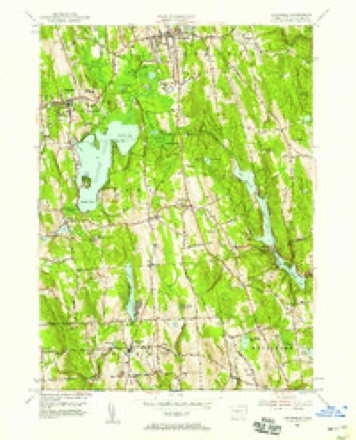
34 topographic sheets cover this place, the earliest surveyed in 1893 and the latest in 1993. It stands in Bethlehem town. It lies in ZIP code area 06751. It lies near Magnolia Hill. The Survey maps it on the Litchfield quadrangle.
On record in Bethlehem
Buildings and businesses the archive holds for this place. Each opens its own page, with the source record it came from.
On the National Register 3 records
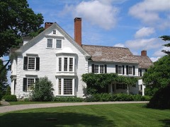 Joseph Bellamy Houselisted 1982
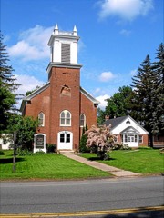 Bethlehem Green Historic Districtlisted 1982
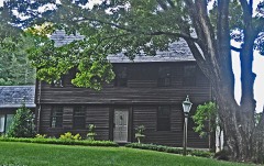 Caleb Martin Houselisted 1996
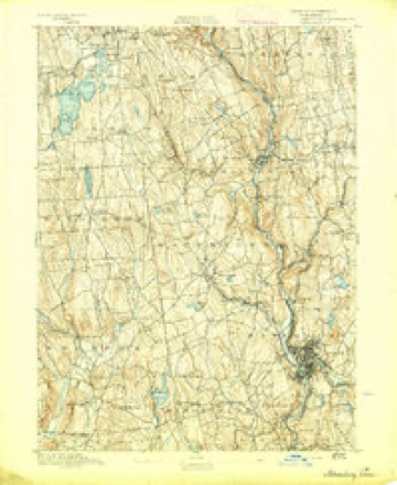
Topographic sheets covering this place
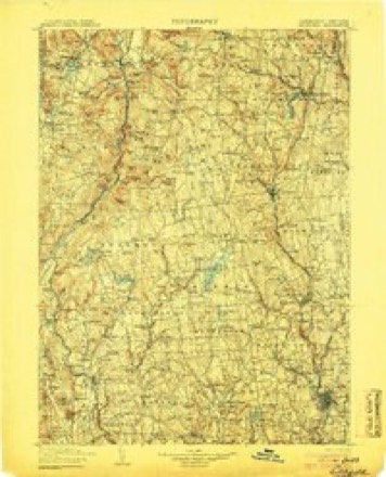
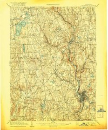
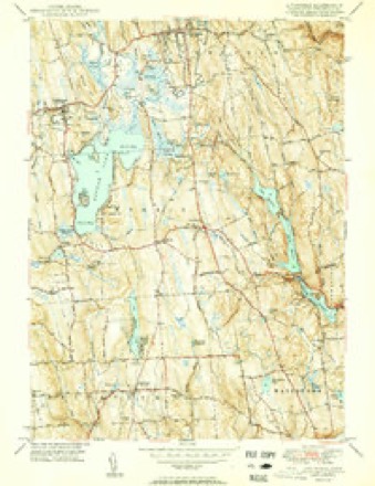
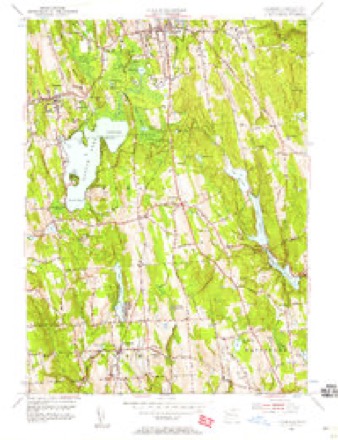
13 surveys from 34 printed sheetsMatched by testing this settlement's coordinate against the published boundary of every sheet in the United States Geological Survey's historical collection. Each opens the scanned sheet at the Survey.
- 1893 USGS Waterbury quadrangle1:62500, 2 printings
- 1904 USGS Litchfield quadrangle1:125000, 3 printings
- 1904 USGS Waterbury quadrangle1:62500, 8 printings
- 1947 USGS Hartford quadrangle1:250000, 2 printings
- 1948 USGS Hartford quadrangle1:250000, 2 printings
- 1950 USGS Litchfield quadrangle1:31680, 2 printings
- 1956 USGS Litchfield quadrangle1:24000, 5 printings
- 1956 USGS Litchfield quadrangle1:31680, 2 printings
- 1961 USGS Hartford quadrangle1:250000
- 1962 USGS Hartford quadrangle1:250000, 3 printings
- 1965 USGS Hartford quadrangle1:250000, 2 printings
- 1985 USGS Waterbury quadrangle1:100000
- 1993 USGS Waterbury quadrangle1:100000





In the county-history sources
2,210 words on this townshipHistory of Litchfield County, Connecticut, published 1881 names this settlement in its chapter on Bethlehem Town. These are the passages that mention it, exactly as the scans read.
C. Gibbs, Jonathan Seley, Edmund Tomkins, Isaac Hill, John Parkis, Reuben Avered, Ephraim Tyler, Caleb Wheeler, Ebenezer Thompson, Beriah Dudley, and Seth Avered. The prayer of the petition was granted, and the town was incorporated and named Bethlehem.
Passage source: History of Litchfield County, Connecticut, published 1881.
Christ Church parish, Bethlehem, was organized in 1806, at the house of Mr. George Bloss, Carmel Hill, by the Rev. Daniel Burham, D.D. The members were Christopher Prentis, Benjamin Hawley, John Speney, Leverett Judd, Abel Hard, Glover Skidmore, Ebenezer L. Thompson, Samuel Bloss, Reuben Tinker, Samuel Blackman, Daniel Skidmore, Henry Jackson, Amos Lake, David Polford, and B. T. Lake. Services were holden in the district school-house in Bethlehem Centre until the erection of the present church edifice, which was built in 1829, and consecrated by the Right Rev. Bishop Brownell, Sept. 23, 1835.
Passage source: History of Litchfield County, Connecticut, published 1881.
The first act to permanently establish Methodism in Bethlehem was the forming of a class of thirteen persons, Sept. 1, 1858, at the house of James Rudman, by L. W. Abbott, then preaching at Watertown, Conn. L. W. Abbott was appointed to Bethlehem at the Conference of 1859, holding services at the townhouse. Over ninety children were gathered into the Sunday-school, and the membership increased to thirty-eight in full and twenty probationers. July 4, 1859, the first meeting for the appointment of a board of trustees was held, and Ralph Munson, George Guernsey, Harlow Judson, and Bernard Brisie were appointed. Sept. 19, 1859, it was voted to build a house of worship and provide a parsonage property. May 15, 1860, the church was raised, and was dedicated November 14th of the same year.
Passage source: History of Litchfield County, Connecticut, published 1881.
Machine-read from a century-old scan, so expect the errors a machine makes: misspelled names, dropped words, stray characters.
Read the whole chapter on Bethlehem Town - it names this place 4 more 4 times.
Fires near this place
117 since 1992Regional context, not property-specific evidence. The federal wildfire occurrence database lists 117 fires within 5 miles of Bethlehem between 1992 and 2020, burning about 82 acres in total. None started naturally. 4 were recorded as arson. Distance is straight-line from the map coordinates, so a fire counted here may appear on a neighbouring settlement's page as well.
| Reported cause | Fires |
|---|---|
| Missing data/not specified/undetermined | 95 |
| Debris and open burning | 13 |
| Arson/incendiarism | 4 |
| Recreation and ceremony | 3 |
| Misuse of fire by a minor | 2 |
The most recent of them, most recent first, with the day each was reported and the service that recorded it.
| Date | Cause | Size | Reported by | Name on the report |
|---|---|---|---|---|
| 28 September 2017 | Missing data/not specified/undetermined | under an acre | Connecticut Division of Forestry | HOLMES RD & WASHINGTON-WOODBURY RD |
| 27 September 2007 | Debris and open burning | under an acre | Connecticut Division of Forestry | not named |
| 23 September 2015 | Missing data/not specified/undetermined | under an acre | Connecticut Division of Forestry | not named |
| 21 September 2016 | Missing data/not specified/undetermined | under an acre | Connecticut Division of Forestry | 26 TOMPKINS HILL ROAD WASHINGTON |
| 2 September 2007 | Missing data/not specified/undetermined | under an acre | Connecticut Division of Forestry | not named |
| 3 August 2006 | Missing data/not specified/undetermined | under an acre | Connecticut Division of Forestry | not named |
| 3 August 1998 | Missing data/not specified/undetermined | under an acre | Connecticut Division of Forestry | not named |
| 14 August 2012 | Missing data/not specified/undetermined | under an acre | Connecticut Division of Forestry | BETHLEHEM |
Settlements close enough to share some of these fires:
Mines and quarries near this place
6 within 5 milesRegional context, not property-specific evidence. The federal mineral resources record lists 6 workings within 5 miles of Bethlehem: 5 past producers, 1 producer. 1 still produces. What was taken out: Sand and Gravel, Construction, Feldspar, Quartz, Beryllium, Feldspar, Mica. Distance is straight-line from the map coordinates, so a quarry counted here may appear on a neighbouring settlement's page as well.
| Where | Site | Commodity | Status | Recorded |
|---|---|---|---|---|
| Mica Quartzite Or Hornblende Gneiss Quarry No. Fj-023 | Stone | Past Producer | ||
| Mica/Quartzite/Hornblende Quarry | Stone, Dimension | Past Producer | ||
| Woodbury Pegmatite Quarry | Feldspar, Quartz | Past Producer | Feldspar | |
| Woodbury Pegmatite Quarry | Beryllium, Feldspar, Mica | Past Producer | ||
| Bethmor Mine | Sand and Gravel, Construction | Producer | ||
| Coe Road Pit | Sand and Gravel, Construction | Past Producer |
Storms near this place
9 since 1999Regional context, not property-specific evidence. The National Weather Service names Bethlehem in 9 storm reports between 1999 and 2025: 4 thunderstorm wind, 3 hail, 1 flash flood, 1 lightning. No death or injury is recorded in these reports. Each account below is quoted exactly as the forecast office filed it, from the NOAA Storm Events Database, and each date opens the federal record of that event.
| When | Event | Place named | Harm | What the report says |
|---|---|---|---|---|
| June 2001 | Flash Flood | Bethlehem | $55,000 | no account filed |
| August 2009 | Lightning | Bethlehem | $5,000 | A house was struck by lightning on Munger Lane in Bethlehem, near the Morris line. |
| July 1999 | Thunderstorm Wind | Bethlehem | $2,000 | no account filed |
| July 2025 | Thunderstorm Wind | Bethlehem | - | Trees were reported down along Flanders Road near Bethlehem Village. |
| July 2025 | Thunderstorm Wind | Bethlehem | - | Trees and wires were downed near the intersection of Green Hill Road and Nonnewaug Road in the Town of Bethlehem. |
| May 2022 | Thunderstorm Wind | Bethlehem | - | A large tree was reported down on Flanders Rd. |
| July 2012 | Hail | Bethlehem | - | Golf-ball size (measured) hail was reported during a thunderstorm in Bethlehem. |
| June 2011 | Hail | Bethlehem | - | Penny size hail was reported in Bethlehem during a thunderstorm. |
| June 2011 | Hail | Bethlehem | - | Nickel size hail was reported in Bethlehem during a thunderstorm. |
Nearest settlements
The eight closest, with where each one stands in the county. Distances are straight-line, computed from the Geographic Names Information System coordinates.
| Map | Place | Distance | Sheets |
|---|---|---|---|
| Gulls Hollow | 1.1 miles | 34 | |
| Morris | 3.1 miles | 34 | |
| Lakeside | 3.3 miles | 34 | |
| East Morris | 3.7 miles | 34 | |
| Sandy Beach | 3.8 miles | 34 | |
| Horse Heaven | 4.3 miles | 33 | |
| Emmons City (historical) | 4.4 miles | 35 | |
| West Morris | 4.4 miles | 35 |
Provenance
This settlement is recorded in the Geographic Names Information System as feature 205478. The sheet list is computed by point-in-boundary test against the United States Geological Survey's historical topographic inventory. Both are works of the United States government and carry no copyright under 17 U.S.C. 105.
Wildfire. Short, Karen C. 2022. Spatial wildfire occurrence data for the United States, 1992-2020 [FPA_FOD_20221014]. 6th Edition. Fort Collins, CO: Forest Service Research Data Archive. https://doi.org/10.2737/RDS-2013-0009.6 Collected with United States Government funding and usable without additional permissions or fees.
Mines and quarries. USGS Mineral Resources Data System (MRDS) https://mrdata.usgs.gov/mrds/ A work of the United States government, no copyright under 17 U.S.C. 105.
Storms. NOAA National Centers for Environmental Information, Storm Events Database https://www.ncei.noaa.gov/stormevents/ A work of the United States government, no copyright under 17 U.S.C. 105. Narratives are quoted verbatim from the National Weather Service report and are not edited or summarised.