 Block
Weatogue, Connecticut
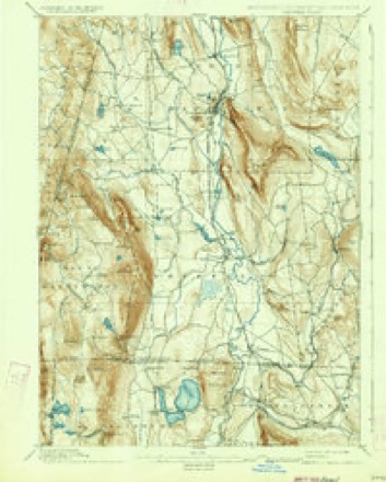
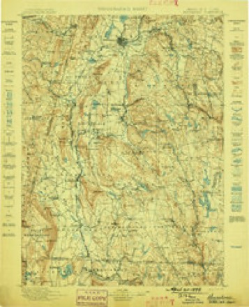
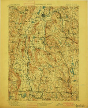
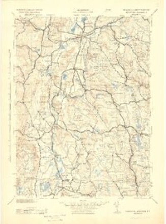
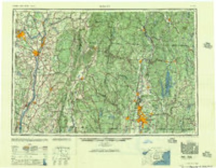
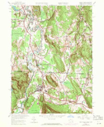
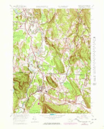
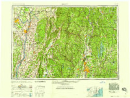
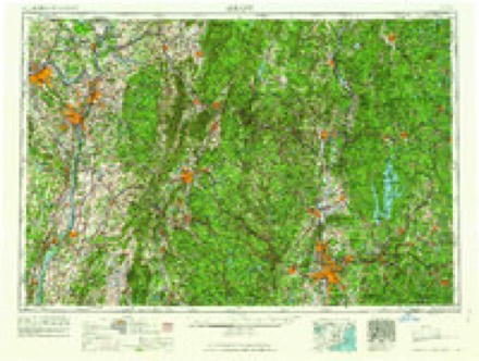
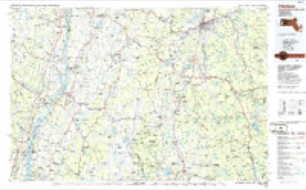
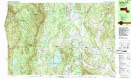
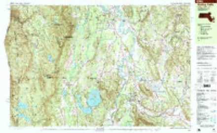
43 topographic sheets cover this place, the earliest surveyed in 1885 and the latest in 1997. It stands in Salisbury town. It lies in ZIP code area 06068. It lies near Miles Mountain. The Survey maps it on the Ashley Falls quadrangle.
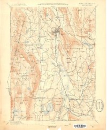
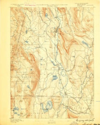
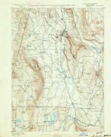
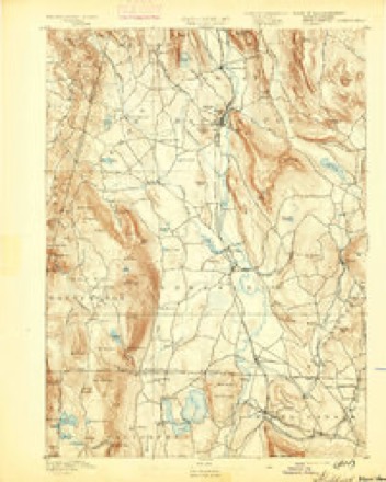
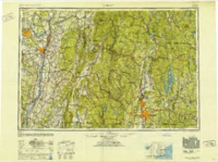
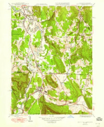
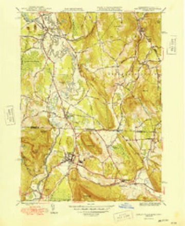
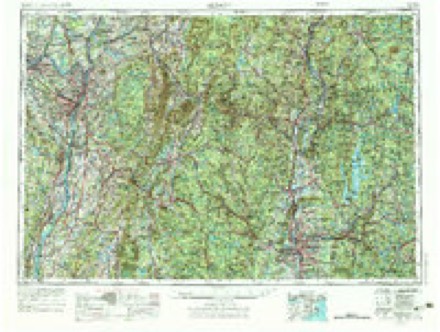
Topographic sheets covering this place
21 surveys from 43 printed sheetsMatched by testing this settlement's coordinate against the published boundary of every sheet in the United States Geological Survey's historical collection. Each opens the scanned sheet at the Survey.
- 1885 USGS Sheffield quadrangle1:62500
- 1888 USGS Sheffield quadrangle1:62500
- 1891 USGS Sheffield quadrangle1:62500
- 1893 USGS Sheffield quadrangle1:62500
- 1897 USGS Sheffield quadrangle1:62500, 10 printings
- 1899 USGS Housatonic quadrangle1:125000
- 1900 USGS Housatonic quadrangle1:125000, 5 printings
- 1943 USGS Housatonic quadrangle1:125000
- 1948 USGS Albany quadrangle1:250000
- 1948 USGS Ashley Falls quadrangle1:24000
- 1949 USGS Ashley Falls quadrangle1:31680, 2 printings
- 1956 USGS Albany quadrangle1:250000, 2 printings
- 1957 USGS Albany quadrangle1:250000
- 1958 USGS Ashley Falls quadrangle1:24000, 6 printings
- 1958 USGS Ashley Falls quadrangle1:25000
- 1959 USGS Albany quadrangle1:250000
- 1962 USGS Albany quadrangle1:250000
- 1975 USGS Ashley Falls quadrangle1:25000
- 1986 USGS Pittsfield quadrangle1:100000, 2 printings
- 1987 USGS Ashley Falls quadrangle1:25000, 2 printings
- 1997 USGS Ashley Falls quadrangle1:25000
What happened here
An account from the chapter on Salisbury town. The inset identifies its exact source book and publication year.
War Of 1812
WAR OF 1812. In the war of 1812 several non-commissioned officers and privates enlisted from this town, although it is not known that more than one of them was slain in battle. John O'Kain was killed in the battle of Bridgewater. It is said of him that while lying upon the ground, after receiving his mortal wound, he twice discharged his musket at the enemy.
In the county-history sources
13,022 words on this townshipHistory of Litchfield County, Connecticut, published 1881 names this settlement in its chapter on Salisbury Town. These are the passages that mention it, exactly as the scans read.
There was, upon the lirst arrival of the Dutch settlers here, a well-defined Indian trail or path lcn<ling from the Stockbridgc tribe, along the valley of the Housatonic, through Weatogue, to the Scaticoke settlement of Indians in Kent. Apple-trees had sprung up, and were growing along that path through its whole extent at unequal distances, accurately enough marking its course. Many of these were standing when I was a youth, and some, I believe, remain to this day. Tradition has pointed out the spot, on the easterly side of Wonunscopomuc Lake, upon which the Indians held their councils and pow-wows. It is in the grove, a little west of the road leading from Furnace Village to Town Hill, and near a tall pinetree, now standing, overlooking the lake. Frequently, when I have stood upon that interesting spot, I have attempted to call up before me the groups of savage men who congregated on that ground. I have, in fancy, there looked upon the grave, stern face of the counselor, the fierce visage of the impatient warrior in his listening attitude, and the encircling group of women and children around. It was, and still is, a plat of romantic beauty, well fitted to call forth the innate religious feeling of those men of nature. This spot was frequently visited by wandering Indians in after-days, and the stately pine which then nuirked the place was long known to the white inhabitants as the Indian tree.
Passage source: History of Litchfield County, Connecticut, published 1881.
The second purchase was made in January, 1720, by John Dikeman and Lawrence Knickerbocker, of Livingston's Manor, New York, of a tract lying on the west side of the Housatonic River, " beginning at the Upper Falls, south of Wootauk (meaning Weatogue) ; thencQ, running along the side of a hill called Wootowanche, now called Sugar Hill, two miles to the land purchased of the Indians by White and Vandusen ; thence, with a straight line, to a mile above the falls of a brook called Wachocastinork (probably the falls at Lime Rock); thence south three miles, thence east to the forks, etc."
Passage source: History of Litchfield County, Connecticut, published 1881.
Before the charter of the town was granted, Thomas Lamb, in behalf of the Governor and Company of the Connecticut colony, purchased certain Indian rights of land in the present town of Sharon, and in Weatogue, " for the consideration of eighty pounds and divers victuals and clothes." This deed was signed by the marks of many Indians, who described themselves as of the Indian nation belonging to Muttapacuck. The name of one of the signers of this deed was Tocconuc. Soon afterwards the Indians complained to the General Court that they had been defrauded by Lamb in this purchase, and a committee was appointed to investigate the alleged causes of complaint. Lamb afterwards received a grant of land from the colony for his services and expenses in the negotiation.
Passage source: History of Litchfield County, Connecticut, published 1881.
Machine-read from a century-old scan, so expect the errors a machine makes: misspelled names, dropped words, stray characters.
Read the whole chapter on Salisbury Town - it names this place 8 more 8 times.
Fires near this place
78 since 1993Regional context, not property-specific evidence. The federal wildfire occurrence database lists 78 fires within 5 miles of Weatogue between 1993 and 2020, burning about 168 acres in total. None started naturally. 3 were recorded as arson. Distance is straight-line from the map coordinates, so a fire counted here may appear on a neighbouring settlement's page as well.
| Reported cause | Fires |
|---|---|
| Missing data/not specified/undetermined | 54 |
| Debris and open burning | 14 |
| Arson/incendiarism | 3 |
| Recreation and ceremony | 2 |
| Equipment and vehicle use | 2 |
| Misuse of fire by a minor | 1 |
| Railroad operations and maintenance | 1 |
| Power generation/transmission/distribution | 1 |
The most recent of them, most recent first, with the day each was reported and the service that recorded it.
| Date | Cause | Size | Reported by | Name on the report |
|---|---|---|---|---|
| 4 September 2017 | Missing data/not specified/undetermined | under an acre | Connecticut Division of Forestry | 1 GRANGER LN |
| 3 September 2017 | Missing data/not specified/undetermined | under an acre | Connecticut Division of Forestry | 386 SALISBURY RD (RT |
| 22 August 2016 | Missing data/not specified/undetermined | under an acre | Connecticut Division of Forestry | CLAYTON ROAD NORTH CANAAN |
| 21 August 2020 | Missing data/not specified/undetermined | under an acre | Connecticut Division of Forestry | 141 W MAIN STREET |
| 31 July 2011 | Missing data/not specified/undetermined | under an acre | Connecticut Division of Forestry | NORTH CANAAN |
| 21 July 2018 | Missing data/not specified/undetermined | under an acre | Connecticut Division of Forestry | 107 MAIN STREET |
| 1 July 2011 | Missing data/not specified/undetermined | under an acre | Connecticut Division of Forestry | NORTH CANAAN |
| 30 June 2016 | Missing data/not specified/undetermined | under an acre | Connecticut Division of Forestry | 12 BARLOW STREET NORTH CANAAN |
Settlements close enough to share some of these fires:
Mines and quarries near this place
10 of 25 shownRegional context, not property-specific evidence. The federal mineral resources record lists 25 workings within 5 miles of Weatogue: 15 past producers, 8 producers, 1 prospect, 1 unknown. 8 still produce. What was taken out: Stone, Crushed/Broken, Sand and Gravel, Construction, Marble, Dimension, Iron. Distance is straight-line from the map coordinates, so a quarry counted here may appear on a neighbouring settlement's page as well.
| Where | Site | Commodity | Status | Recorded |
|---|---|---|---|---|
| Camp Limonite Mine | Iron, Manganese | Past Producer | Goethite, Limonite | |
| Canaan Quarry | Calcium | Past Producer | Calcite | |
| Canaan Quarry | Dolomite, Barium-Barite, Stone, Crushed/Broken | Producer | ||
| Allyndale Quarry | Limestone, General | Past Producer | Sedimentary | |
| Falls Village Quarry | Limestone, General | Past Producer | Sedimentary | |
| Limestone Rock Quarries No. Fi-009 | Stone | Producer | Marble | |
| Limestone Rock Quarry No. Fi-008 | Stone | Producer | Marble | |
| Chapin Mine | Iron | Past Producer | ||
| Dolomitic Marble Quarry No. 1 | Marble, Dimension | Past Producer | ||
| Dolomitic Marble Quarry No. 3. | Marble, Dimension | Past Producer |
Nearest settlements
The eight closest, with where each one stands in the county. Distances are straight-line, computed from the Geographic Names Information System coordinates.
| Map | Place | Distance | Sheets |
|---|---|---|---|
| Wangum Village | 1.0 miles | 43 | |
| Canaan | 1.4 miles | 43 | |
| Foley (historical) | 2.0 miles | 43 | |
| Sodom | 2.6 miles | 43 | |
| Twin Lakes | 2.8 miles | 44 | |
| Pine Grove | 3.0 miles | 37 | |
| Taconic | 3.4 miles | 44 | |
| Hammertown | 3.6 miles | 44 |
Provenance
This settlement is recorded in the Geographic Names Information System as feature 211881. The sheet list is computed by point-in-boundary test against the United States Geological Survey's historical topographic inventory. Both are works of the United States government and carry no copyright under 17 U.S.C. 105.
Wildfire. Short, Karen C. 2022. Spatial wildfire occurrence data for the United States, 1992-2020 [FPA_FOD_20221014]. 6th Edition. Fort Collins, CO: Forest Service Research Data Archive. https://doi.org/10.2737/RDS-2013-0009.6 Collected with United States Government funding and usable without additional permissions or fees.
Mines and quarries. USGS Mineral Resources Data System (MRDS) https://mrdata.usgs.gov/mrds/ A work of the United States government, no copyright under 17 U.S.C. 105.