 Block
BlockFrom the record
1 National Register listing published here.
Sources: the National Register database, National Park Service
44 topographic sheets cover 30 settlements here, and 1 property is on the National Register of Historic Places.
1 National Register listing published here.
Sources: the National Register database, National Park Service
Every property in this county listed on the National Register of Historic Places, with the year it was listed and the federal nomination document.
| Photograph | Property | Type | Listed | Reference |
|---|---|---|---|---|
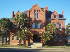 | Old Calhoun County Courthouse | building | 1980 | 80000943 |
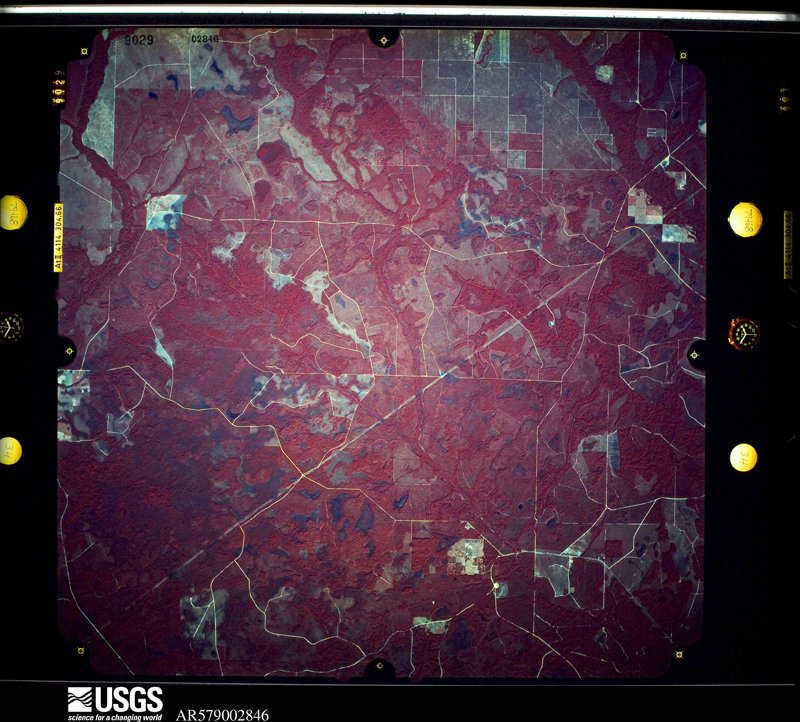
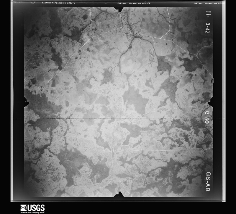
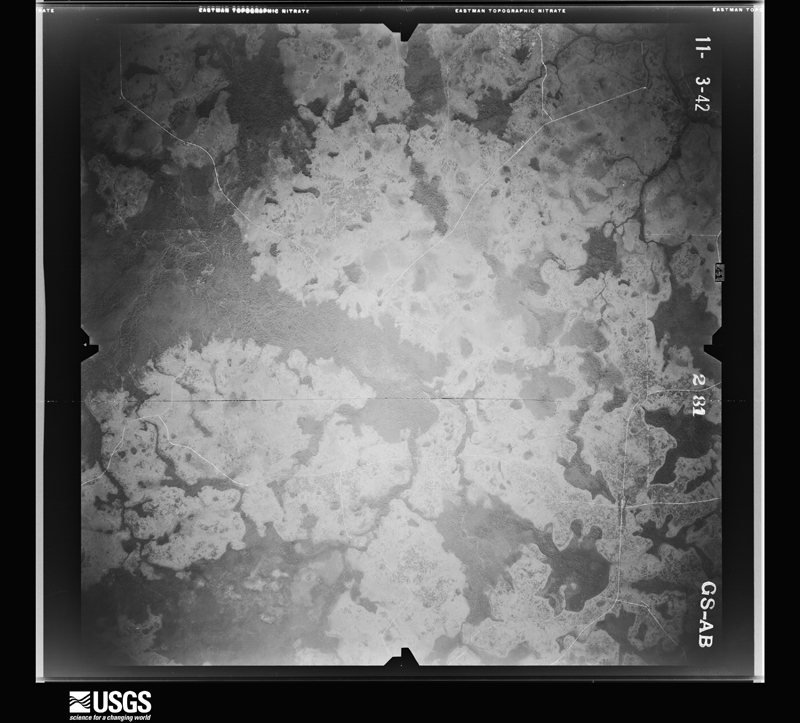
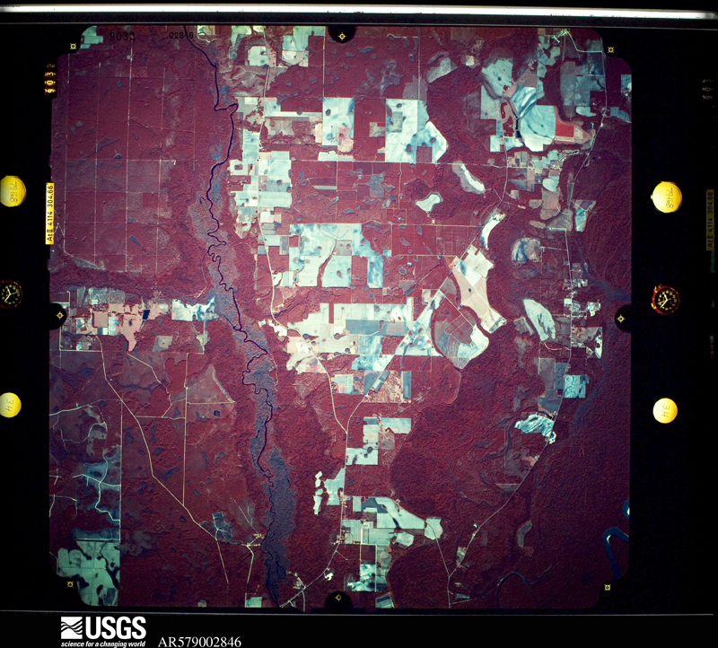
Flown by the U.S. Geological Survey between 1937 and 1989, the Aerial Photo Single Frames collection is the definitive mid-century view of the land: fields, roads and rivers as the camera saw them. The Survey holds 741 frames inside the rectangle that bounds this county; the 28 frames below were taken over the county itself, chosen across the decades of flights (at most four a year from that rectangle), so one flight cannot crowd out the rest. The full set is free to browse and download at EarthExplorer under the dataset Aerial Photo Single Frames.
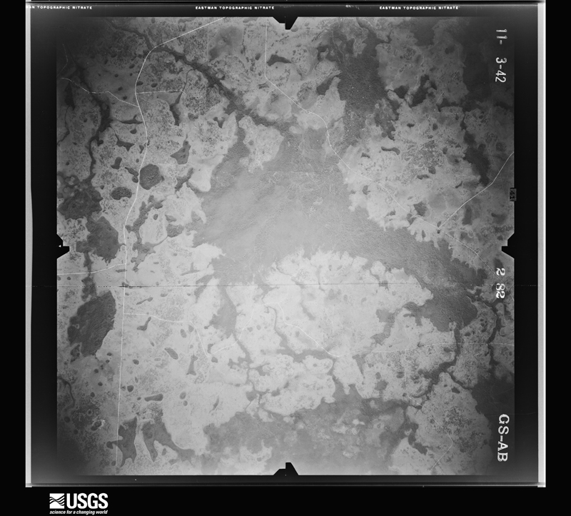
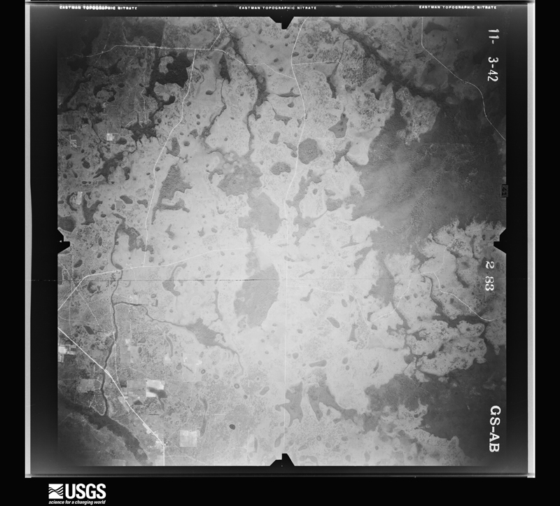
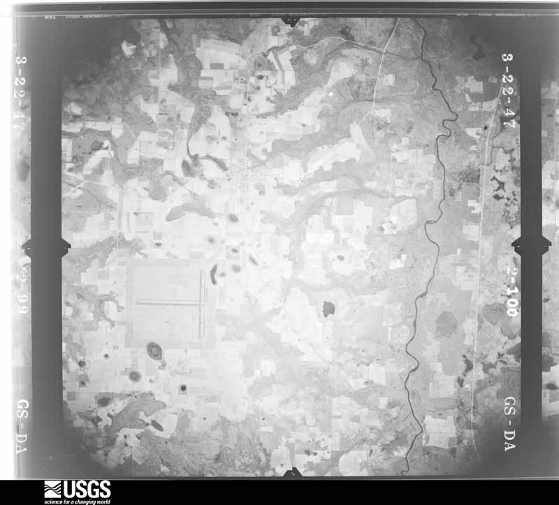
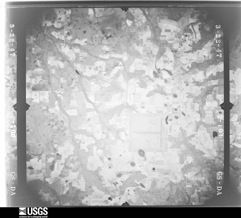
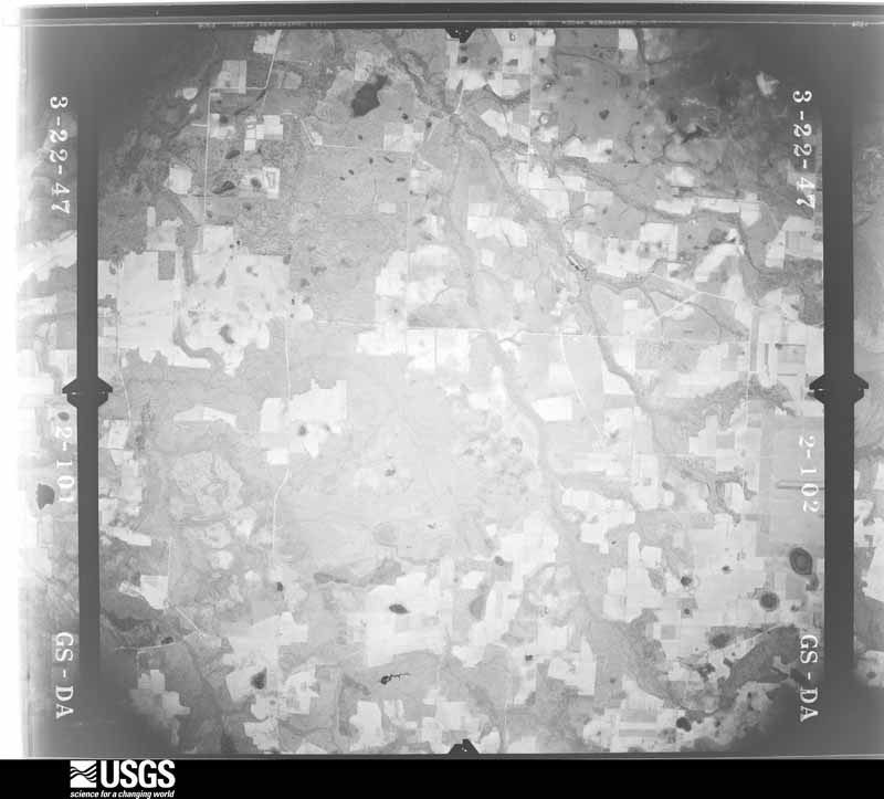
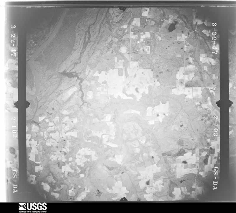
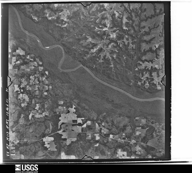
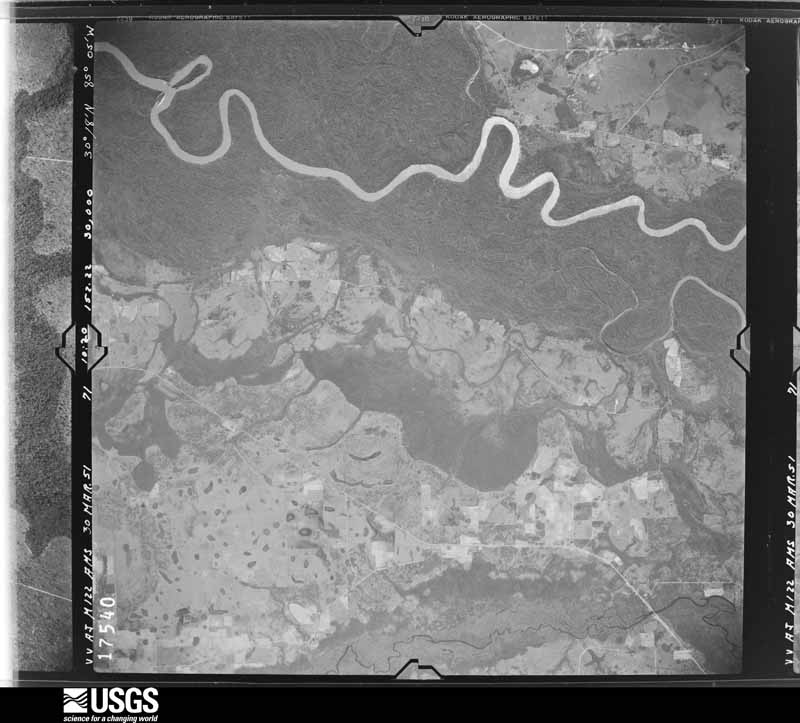
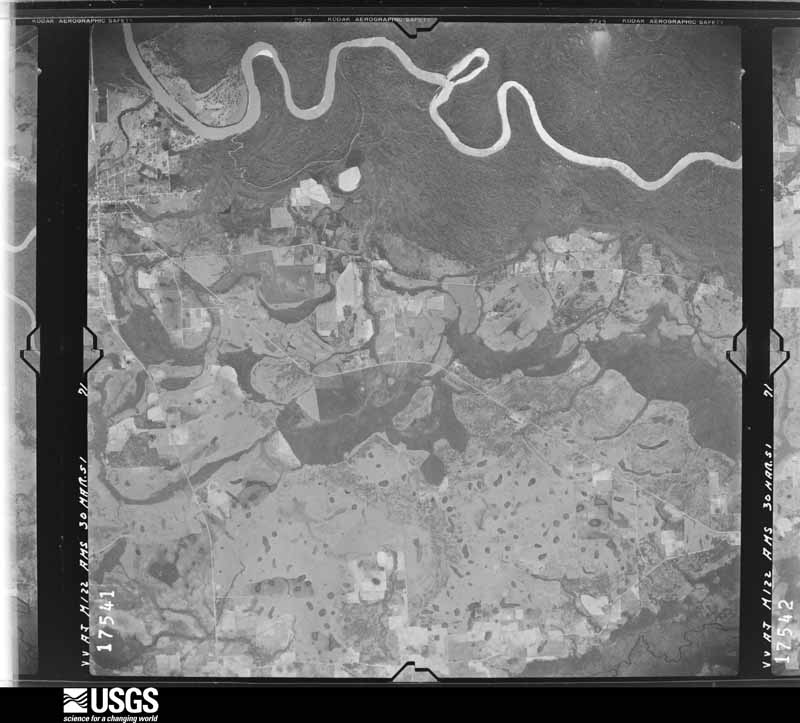
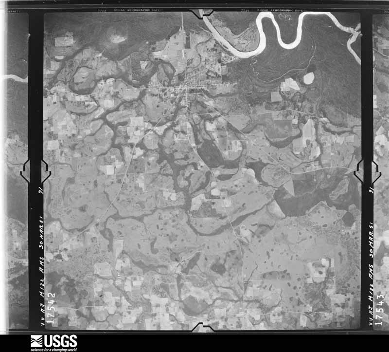
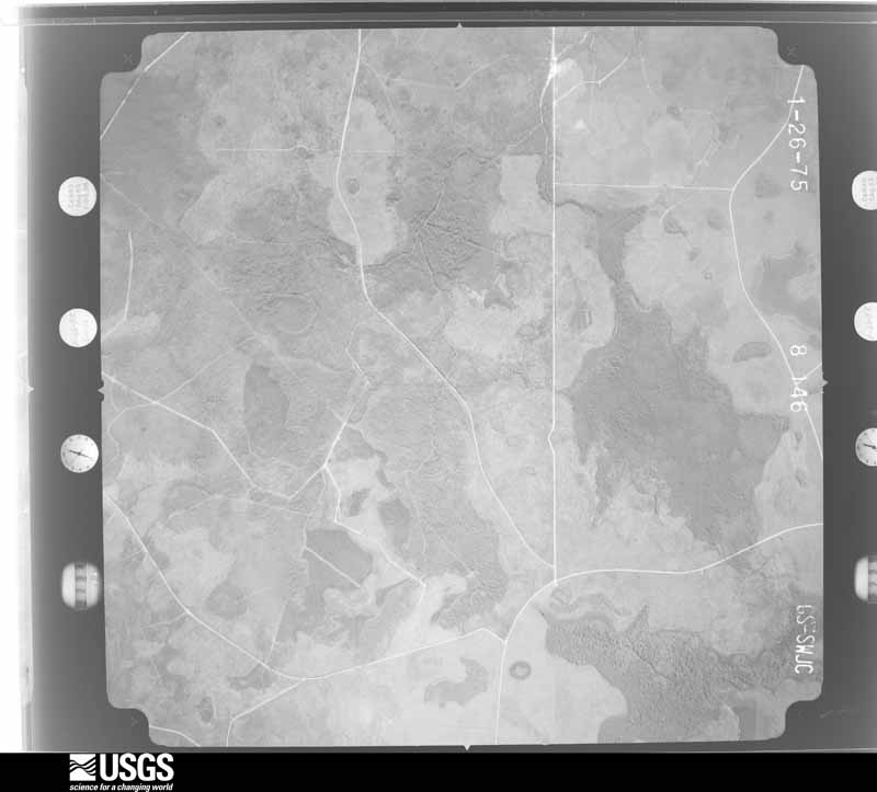
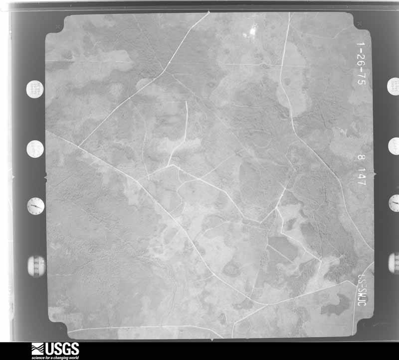
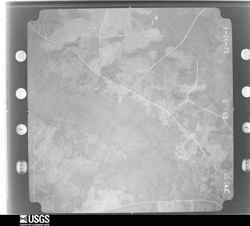
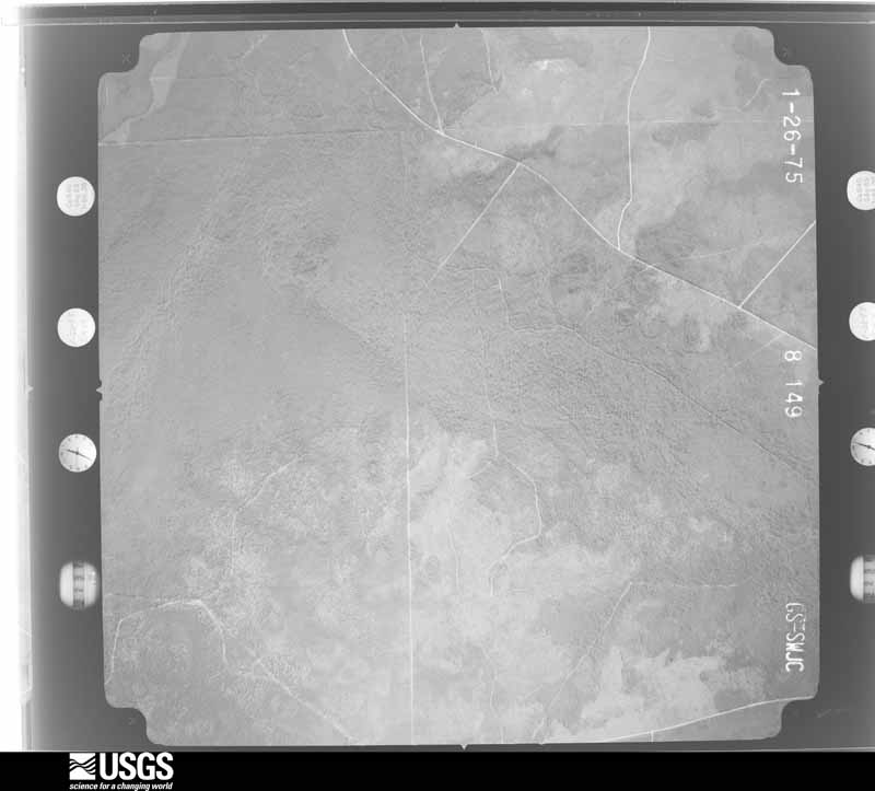
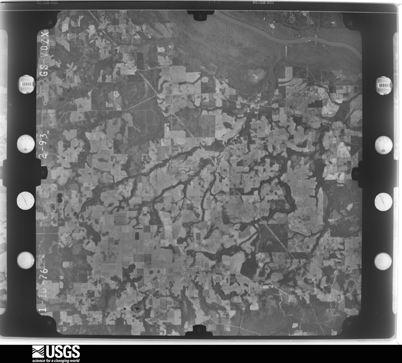
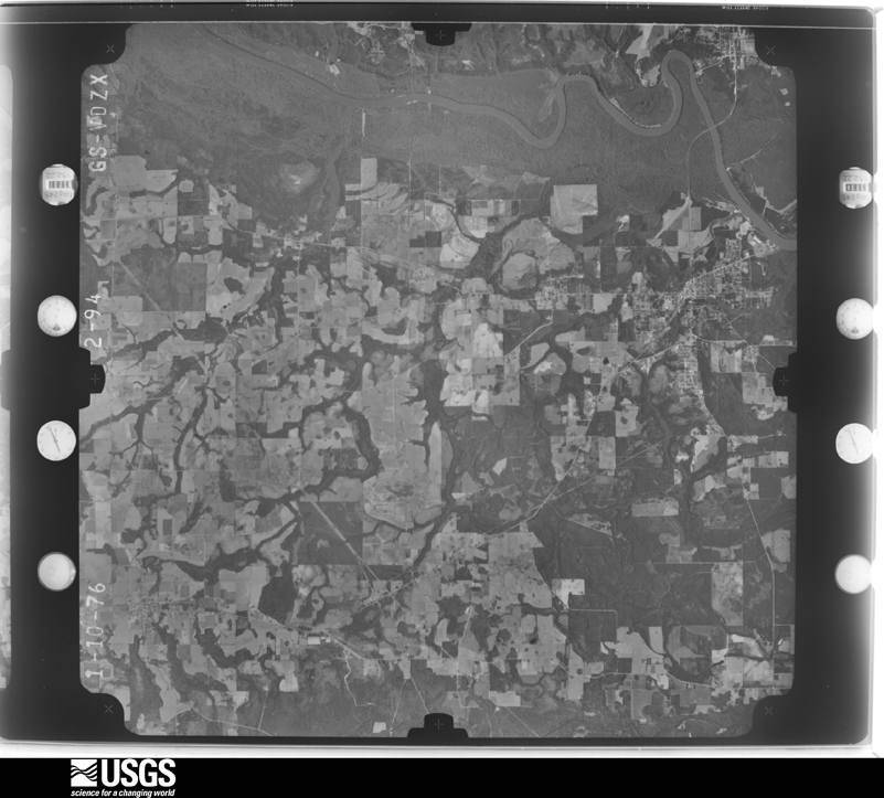
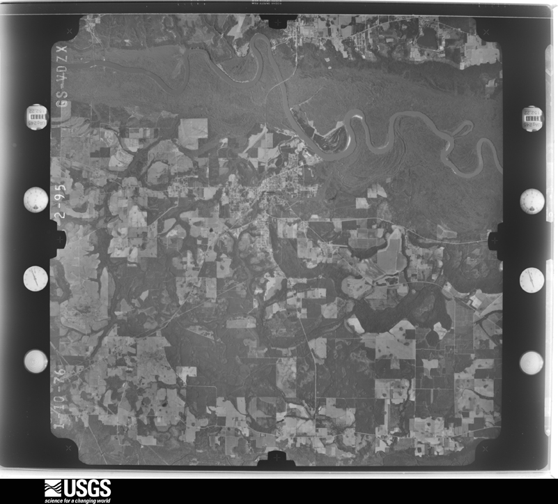
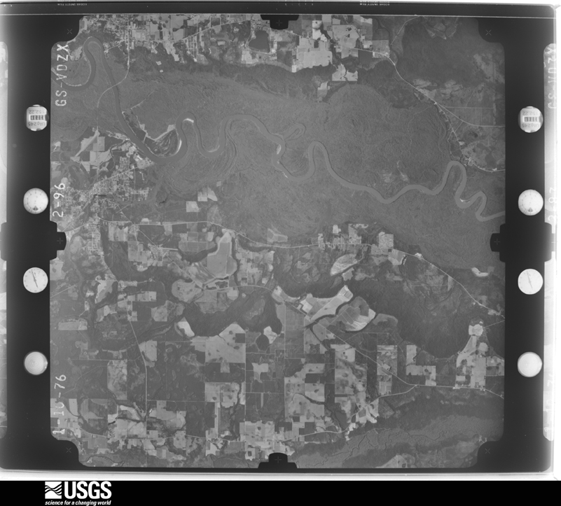
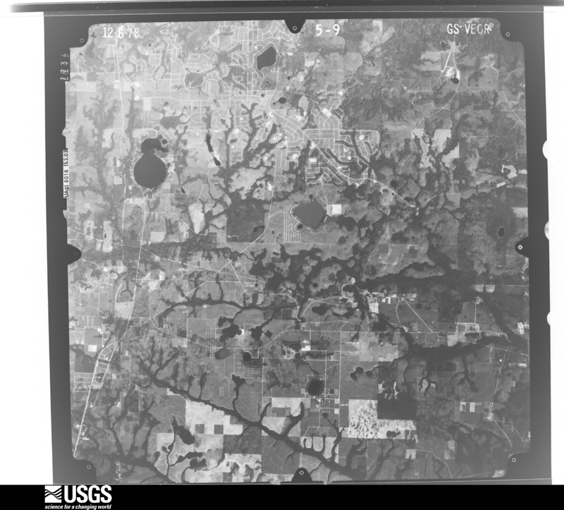
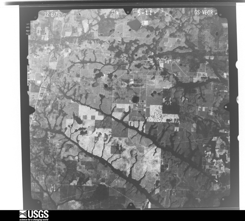
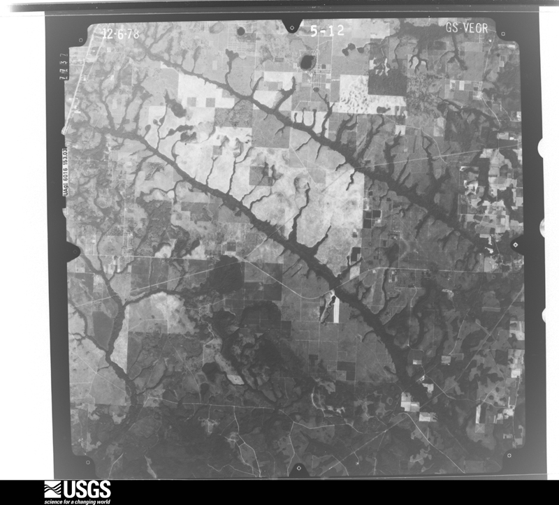
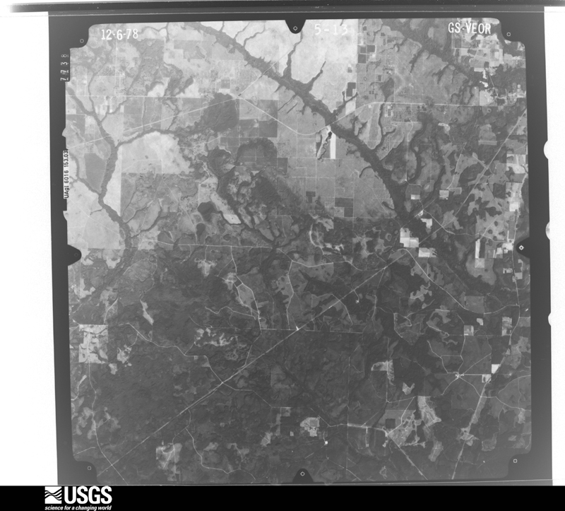
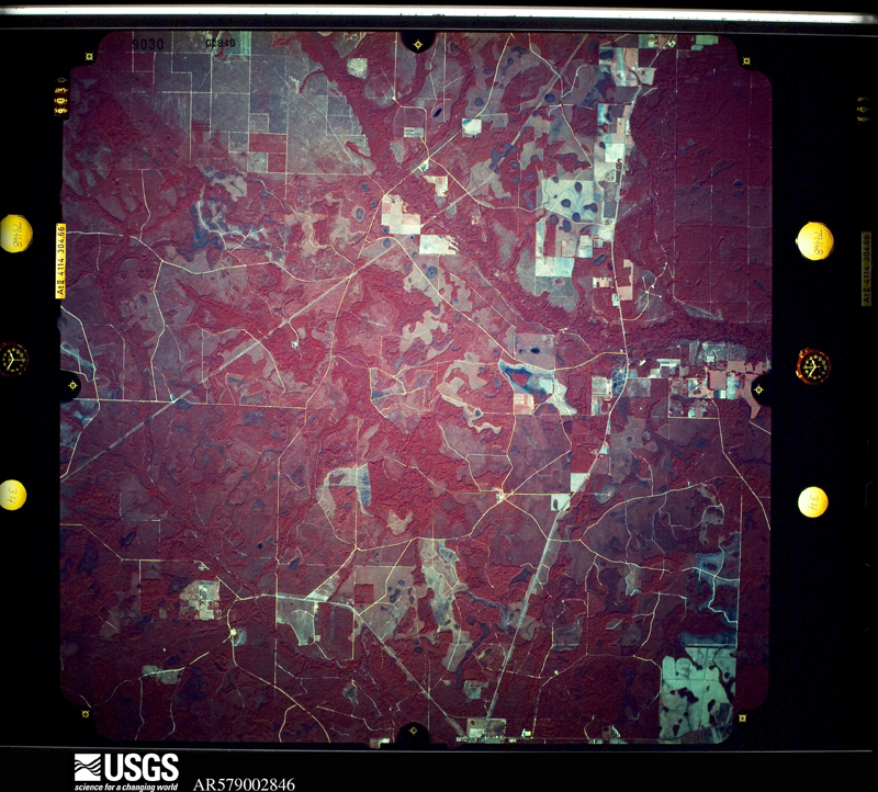
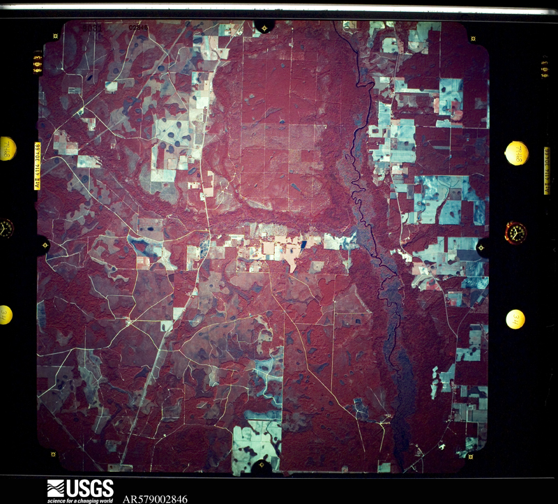
The thermometers that kept this county's weather, and the gages that measured the flow of its streams, as the federal records hold them. The extremes below are measured values from those records, not estimates.
Who lived here in 1950, one enumeration district at a time, as the Census Bureau described each district. Each row opens its official National Archives result, with Population Schedules and ED Maps available there.
Every wildfire the federal occurrence database records inside this county: 601 of them, burning about 8,665 acres. 125 started naturally and 53 were recorded as arson. Each settlement page carries the fires within five miles of it.
| Reported cause | Fires |
|---|---|
| Debris and open burning | 155 |
| Natural | 125 |
| Railroad operations and maintenance | 76 |
| Equipment and vehicle use | 75 |
| Missing data/not specified/undetermined | 69 |
| Arson/incendiarism | 53 |
| Smoking | 16 |
| Power generation/transmission/distribution | 15 |
| Misuse of fire by a minor | 7 |
| Other causes | 5 |
| Recreation and ceremony | 5 |
The five largest, by the area the report gives. None of them was recorded as arson.
| Date | Cause | Size | Reported by | Name on the report |
|---|---|---|---|---|
| 21 September 1997 | Equipment and vehicle use | 988 acres | Florida Forest Service | not named |
| 15 June 2006 | Natural | 550 acres | Florida Forest Service | 07/#3 SCOTTS FERRY-0693 |
| 24 October 2005 | Debris and open burning | 350 acres | Florida Forest Service | 07-BULLHEAD BAY FIRE |
| 7 July 2000 | Missing data/not specified/undetermined | 200 acres | Florida Forest Service | not named |
| 29 June 2019 | Natural | 170 acres | Florida Forest Service | BURNOUT LANE (03) |
| 11 July 1995 | Natural | 170 acres | Florida Forest Service | not named |
| 5 January 2012 | Debris and open burning | 151 acres | Florida Forest Service | HWY 73 SOUTH (07) |
| 16 March 1997 | Railroad operations and maintenance | 150 acres | Florida Forest Service | not named |
Every settlement page carries the fires within five miles of it - see the settlement index below.
The NOAA Storm Events Database holds 218 reports for this county, causing 5 deaths, 27 injuries and about $15,252,200 in recorded property damage. Each settlement page carries the reports that name it.
| Kind of event | Reports |
|---|---|
| Thunderstorm Wind | 126 |
| Hail | 27 |
| Flash Flood | 24 |
| Tornado | 23 |
| Flood | 10 |
| Funnel Cloud | 4 |
| Lightning | 3 |
| Wildfire | 1 |
The most serious of them, by death, then injury, then recorded damage. The accounts are quoted exactly as the forecast office filed them.
| When | Event | Place named | Harm | What the report says |
|---|---|---|---|---|
| September 2004 | Tornado (F2) | Blountstown | 4 killed, 5 hurt, $2,500,000 | The supercell thunderstorm which spawned tornadoes in Franklin and Liberty counties, produced a strong F2 tornado, which touched down just southeast of Van Lierop Road, a few miles east of Highway 69. It crossed Highway 69 near the Stafford Creek Bridge, and peeled roofs from dozens of homes, uprooted trees, and scattered debris. The tornado then struck the Macedonia Community at Highway 69-A and Parrish Lake Road. It demolished three trailers and damaged 30 homes. The tornado picked up two neighboring mobile homes. One was thrown across a road and killed its two occupants. Another was slammed into a neighbor's house, which killed its two occupants and injured five others. Reported by the Calhoun County EMA. |
| February 2017 | Thunderstorm Wind | Ocheessee | 1 killed | Strong winds uprooted a large tree which fell onto a person, resulting in a fatality. |
| October 1981 | Tornado (F2) | not stated | 12 hurt, $2,500,000 | no account filed |
| January 1952 | Tornado (F1) | not stated | 3 hurt, $25,000 | no account filed |
| November 2014 | Tornado (EF2) | Kennys Mill | 2 hurt, $2,000,000 | The tornado likely began in a heavily forested area with limited access just SW of the Calhoun Correctional Institution - between the prison grounds and Highway 71. The beginning point was estimated based on the rest of the damage path and a lack of observed damage along Highway 71. The tornado then quickly intensified as it moved into the prison grounds. Several concrete buildings were heavily damaged - including a two-story printing facility. The eastern wall of that particular building was completely collapsed with the roof almost entirely removed. An adjacent concrete building also had large sections of roof removed. The damage to both of these buildings was rated EF2 with maximum estimated winds of 120-130 mph - in the high end of the EF2 range. Other buildings, including some warehouses, were also damaged on the prison grounds. There were some light poles that were snapped, and some trees near the entrance to the facility were also snapped. All of that additional damage was rated EF1. Over 30 cars that were parked in the parking lot by the administrative building were damaged, and some were tossed or rolled as much as 50-100 yards - a few badly crumpled due to impacts. There were some objects driven into the ground near the parking lot as well; an emergency manager also observed a screwdriver driven into the bottom of a flipped vehicle. Some concrete curbs along the parking lot were ripped from the ground.||After moving northeast off the prison grounds, the tornado crossed some forested area near the Apalachicola River, clipping areas along the southern tip of River Road and then crossing Highway 20 just west of the Apalachicola River bridge. There were numerous healthy, large trees that were snapped in the damage path, as well as some power poles. This portion of the damage path was rated EF1 with maximum winds of around 100 MPH. This tornado continued into Liberty county and eventually ended in Gadsden county.||Monetary damage for this tornado was estimated at around $2 million. Structural damage to the prison was estimated at around $1.8 million, but the $1.8 million figure did not include fencing, lighting, or vehicle damage that also occurred. |
| October 1997 | Tornado (F1) | Blountstown | 1 hurt, $50,000 | F1 tornado destroyed one home five miles west of Blountstown. One minor injury reported. |
| January 1997 | Tornado (F2) | Camps Head | 1 hurt, $50,000 | no account filed |
| July 2020 | Thunderstorm Wind | Nettle Ridge | 1 hurt, $5,000 | A tree fell on a SUV and resulted in one minor injury from a broken windshield on NE Mason Road. |
| July 2001 | Lightning | Blountstown | 1 hurt | A man suffered minor injuries from a nearby lightning strike. Reported by the Bristol Journal. |
| December 1985 | Thunderstorm Wind | not stated | 1 hurt | no account filed |
| April 2014 | Flood | Center Lake | $3,240,000 | Major flooding occurred across Calhoun county at the end of the month due to a combination of very heavy rainfall and already saturated conditions. Many roads in the county sustained damage with damage estimated at $3,234,208. |
| February 2013 | Flood | Altha | $1,100,000 | Significant areal flooding occurred across Calhoun county due to prolonged periods of moderate to heavy rainfall. Four day rainfall totals of around a foot were estimated across the county between Feb 22-26. The emergency manager estimated over $1 million in damages across the county, mainly due to road repair. |
| September 2020 | Flash Flood | Blountstown | $1,000,000 | Flooding was reported across numerous county roads throughout Calhoun county. Damage cost was estimated. |
| March 2005 | Thunderstorm Wind | Blountstown | $1,000,000 | Straight-line winds destroyed one home and damaged several others including some businesses in the Hayes subdivision and Pine Island. Five structures suffered major roof damage, with minor damage to 25 homes. Three families were displaced. Several mills at Redwood Bay Lumber on Highway 71 were destroyed. A semi truck was picked up, carried to the east and slammed into one of the chip trailers. Several trees fell on homes, garages and vehicles. Numerous power lines were also toppled. Reported by the Calhoun County EMA. |
| March 2009 | Flood | Altha | $500,000 | Moderate to major flooding along the Chipola River impacted at least 150 homes from Altha south to the Gulf County line. |
| April 1979 | Tornado (F1) | not stated | $250,000 | no account filed |
| January 1975 | Tornado (F2) | not stated | $250,000 | no account filed |
| June 2015 | Thunderstorm Wind | Blountstown | $100,000 | Numerous trees and power lines were blown down around Blountstown with widespread power outages in the city. Only one restaurant and one gas station kept power. Damage was estimated. |
| October 1997 | Tornado (F1) | Kinard | $100,000 | Small F1 tornado destroyed storage sheds, mobile home and pickup truck along Florida Highway 73. One 24" diameter tree uprooted. |
| February 2021 | Lightning | Shuman Ferry | $50,000 | The Nettle Ridge Fire Department Facebook page reported a structure fire due to lightning on NW County Road 375 North. Damage cost was estimated. |
| April 2011 | Thunderstorm Wind | Clarksville | $50,000 | Trees, power lines, and transformers were down across the county. A roof was torn off a trailer in Clarksville with roof damage to another home as well. The monetary damage figure provided is a rough estimate. |
| March 2001 | Tornado (F2) | Kinard | $50,000 | An F2 tornado touched down just south of Kinard on the west side of SW J.A. Daniels Road. It damaged two sheds and two barns. It tracked northeast and crossed State Road 73, two-tenths of a mile south of Mark Barbee Lane, and uprooted numerous trees. From Mark Barbee Lane, the tornado continued its northeast track and severely damaged two vacant structures on SW Clayton Shiver Road, and then dissipated. Damage surveyed by the NWS Tallahassee WCM and reported by the Calhoun County EMA. |
| January 1997 | Tornado (F1) | Camps Head | $50,000 | no account filed |
| January 2000 | Thunderstorm Wind | Altha | $35,000 | The Calhoun County S.O. reported a large oak tree blown onto a home. Other downed trees and power lines with scattered outages reported countywide. |
| December 1982 | Tornado (F1) | not stated | $25,000 | no account filed |
| July 1975 | Tornado (F0) | not stated | $25,000 | no account filed |
| May 1972 | Tornado (F2) | not stated | $25,000 | no account filed |
| December 1967 | Tornado (F2) | not stated | $25,000 | no account filed |
| January 2000 | Thunderstorm Wind | Blountstown | $20,000 | A home sustained roof damage from a fallen tree. Some power lines down reported by the Calhoun County EM. |
| July 2000 | Thunderstorm Wind | Altha | $20,000 | A home suffered minor roof damaged, two sheds were damaged and tree tops were blown off. Reported by the Calhoun County Record. |
| April 2021 | Thunderstorm Wind | Broad Branch | $10,000 | Numerous trees and power lines were blown down throughout Calhoun county. |
| February 2017 | Thunderstorm Wind | Center Lake | $10,000 | Several trees and power lines were blown down across Calhoun county. |
| February 2017 | Thunderstorm Wind | Blountstown | $10,000 | A tree was blown down onto a house in Blountstown. Damage was estimated. |
| April 2014 | Thunderstorm Wind | Altha | $10,000 | A barn was blown down near Altha. This was reported by the public on the WDHN news Facebook page. Monetary damage was estimated. |
| June 2008 | Thunderstorm Wind | Rollins Corner | $10,000 | An aluminum shed was blown over into a truck. The truck sustained minor damage. |
| August 2007 | Thunderstorm Wind | Chipola Park | $10,000 | Several trees and a old structure were damaged. |
| April 2004 | Thunderstorm Wind | Altha | $10,000 | Tree tops snapped off and a roof blown off a house near Highway 73. Reported by a SKYWARN storm spotter. |
| March 2002 | Flash Flood | Countywide | $10,000 | Approximately 80 percent of the county dirt roads were closed. Reported by the Calhoun County EMA. |
| September 2002 | Flash Flood | Countywide | $10,000 | Three to five inches of rain flooded a few county roads. Reported by the Calhoun County Sheriff. |
| August 1999 | Thunderstorm Wind | Clarksville | $10,000 | Calhoun County S.O. reported numerous downed trees and power lines with scattered power outages. |
| January 1997 | Thunderstorm Wind | Altha | $10,000 | no account filed |
| April 2011 | Thunderstorm Wind | Durham | $8,000 | Multiple large trees were blown down between Clarksville and Blountstown. The monetary damage figure provided is a rough estimate. |
| May 2012 | Thunderstorm Wind | Altha | $7,000 | Several large oak trees were snapped near the Oglesby Nursery on Bodiford Road, Oglesby Road, and Buddy Johnson Road. There was also roof damage to two of the nursery buildings and damage to a shed. Monetary damage was estimated. |
| August 2024 | Thunderstorm Wind | Blountstown | $5,000 | There were numerous power outages from gusty winds in the Blountstown area. |
| February 2021 | Thunderstorm Wind | White Pond | $5,000 | A tree was blown down onto a trailer along NW County Road 274. |
| March 2019 | Thunderstorm Wind | Mossy Pond | $5,000 | Trees and power lines were blown down across Calhoun county. |
| September 2018 | Lightning | Mossy Pond | $5,000 | Lightning struck a house along NW Porter Grade Road. |
| January 2017 | Thunderstorm Wind | Clarksville | $5,000 | Multiple trees and power lines were blown down across Calhoun County, FL. |
| April 2011 | Thunderstorm Wind | Clarksville | $5,000 | A trained spotter measured a 63 mph gust at his residence with roof damage to his home. The monetary damage figure provided is a rough estimate. |
| June 1998 | Thunderstorm Wind | Blountstown | $5,000 | Several downed power lines just north of Florida Highway 20 near Blountstown and along Highway 20 west about 15 miles west of Clarksville. |
| August 1997 | Thunderstorm Wind | Blountstown | $5,000 | no account filed |
| April 2011 | Thunderstorm Wind | Altha | $3,000 | Three trees were blown down between Altha and the Jackson county line. The monetary damage figure provided is a rough estimate. |
| March 2007 | Thunderstorm Wind | Blountstown | $3,000 | The Calhoun County EMA reported numerous trees down countywide with scattered power outages. |
| March 2000 | Thunderstorm Wind | Northeast Portion | $2,500 | Numerous downed trees blocked State Highways 71, 69, and 274. Reported by the Calhoun County EMA. |
| June 2023 | Thunderstorm Wind | Clarksville | $2,000 | A tree was blown down onto a power line. |
| May 2021 | Thunderstorm Wind | Willis | $2,000 | A power line was reported down near 11548 NW County Road 274. |
| July 2020 | Thunderstorm Wind | Red Oak | $2,000 | A tree was blown down onto a power line off Willard Smith Road. |
| July 2020 | Thunderstorm Wind | Center Lake | $2,000 | A tree was blown down onto a power line near Walter Potts Road. |
| December 2019 | Thunderstorm Wind | Scotts Ferry | $2,000 | Five trees and two power lines were blown down. |
| July 2018 | Thunderstorm Wind | Chason | $2,000 | Power lines were blown down on Highway 73 near Gray Road. |
The Survey's mineral resources record lists 9 workings inside this county. 3 still produce and 6 are closed or unrecorded. Each settlement page carries the workings within five miles of it.
| Commodity | Workings |
|---|---|
| Sand | 7 |
| Clay | 1 |
| Sand and Gravel, Construction | 1 |
The least common of them first, because a county's hundredth gravel pit says nothing its first ten did not.
| Where | Site | Commodity | Status | Recorded |
|---|---|---|---|---|
| Holmes Bros Pit & Brick Plant | Clay | Unknown | ||
| Overholt Pit | Sand and Gravel, Construction | Producer | ||
| Blountstown Sand Co. - Dees Mine | Sand | Producer | ||
| Dot Panama City - 13-Acre Mine | Sand | Unknown | Sand | |
| Dot Panama City - 40-Acre Mine | Sand | Unknown | Sand | |
| Randy Shelton - Chinkapin | Sand | Producer | ||
| Roberts Sand Company, Inc. - Cumbaa Mine | Sand | Unknown | ||
| Roberts Sand Company, Inc. - Dees Mine | Sand | Unknown | ||
| White Construction Company, Inc. - Glenn Warren Mine | Sand | Unknown |
Named settlements recorded in the Geographic Names Information System, each with the topographic sheets covering it. Villages, hamlets and abandoned places alike. Each is shown with the nearest named watercourse or landform and the survey quadrangle it falls on.
Blountstown census division · 32424 · On Juniper Creek · Frink quadrangle
14 sheets, 1945 to 1990
Blountstown census division · 32424 · On The Bayou · Blountstown quadrangle
15 sheets, 1945 to 1990
West Calhoun census division · 32466 · On Cypress Creek · Broad Branch quadrangle
14 sheets, 1945 to 1988
West Calhoun census division · 32421 · On Holliman Branch · Altha West quadrangle
13 sheets, 1952 to 1994
Blountstown census division · 32424 · On Stafford Creek · Blountstown quadrangle
15 sheets, 1945 to 1990
No longer a settlement
West Calhoun census division · 32430 · On Otter Creek · Clarksville quadrangle
14 sheets, 1944 to 1990
Altha census division · 32421 · On Hansford Branch · Altha West quadrangle
13 sheets, 1952 to 1994
Blountstown census division · 32424 · Blountstown quadrangle
15 sheets, 1945 to 1990
No longer a settlement
Blountstown census division · 32424 · Altha East quadrangle
13 sheets, 1952 to 1994
No longer a settlement
West Calhoun census division · 32430 · On Boggy Branch · Frink quadrangle
14 sheets, 1945 to 1990
Altha census division · 32421 · On Thomas Mill Creek · Altha East quadrangle
13 sheets, 1952 to 1994
Blountstown census division · 32424 · By Coconut Bluff · Frink quadrangle
14 sheets, 1945 to 1990
No longer a settlement
West Calhoun census division · 32449 · On Poplar Branch · Broad Branch quadrangle
14 sheets, 1945 to 1988
Blountstown census division · 32424 · Blountstown quadrangle
15 sheets, 1945 to 1990
No longer a settlement
Blountstown census division · 32424 · On Lots Mill Creek · Estiffanulga quadrangle
15 sheets, 1945 to 1990
Blountstown census division · 32424 · On The Bayou · Blountstown quadrangle
15 sheets, 1945 to 1990
No longer a settlement
Blountstown census division · 32424 · On Hughes Creek · Estiffanulga quadrangle
15 sheets, 1945 to 1990
Altha census division · 32424 · On Flowers Creek · Altha East quadrangle
13 sheets, 1952 to 1994
Altha census division · 32442 · On Ocheesee Creek · Rock Bluff quadrangle
12 sheets, 1954 to 1988
Blountstown census division · 32424 · Blountstown quadrangle
15 sheets, 1945 to 1990
No longer a settlement
Blountstown census division · 32424 · On Simmons Creek · Blountstown quadrangle
15 sheets, 1945 to 1990
West Calhoun census division · 32430 · On Palmetto Branch · Clarksville quadrangle
14 sheets, 1944 to 1990
Blountstown census division · 32424 · By Coconut Bluff · Frink quadrangle
14 sheets, 1945 to 1990
West Calhoun census division · 32421 · On Hollis Branch · Altha West quadrangle
13 sheets, 1952 to 1994
The vanished settlements of Calhoun County: the places named above that are no longer on the map.