 Block
BlockFrom the record
18 National Register listings published here.
Sources: the National Register database, National Park Service
55 topographic sheets cover 38 settlements here, and 18 properties are on the National Register of Historic Places.
18 National Register listings published here.
Sources: the National Register database, National Park Service
Every property in this county listed on the National Register of Historic Places, with the year it was listed and the federal nomination document.
| Photograph | Property | Type | Listed | Reference |
|---|---|---|---|---|
| Chattahoochee Historic District | district | 2020 | 100005240 | |
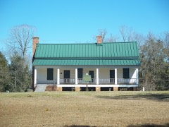 | Joshua Davis House | building | 1975 | 75000554 |
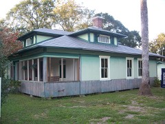 | Dezell House | building | 2006 | 06000358 |
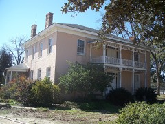 | Willoughby Gregory House | building | 1983 | 83003520 |
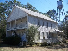 | Gretna School | building | 2008 | 08000502 |
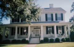 | E. C. Love House | building | 1974 | 74000626 |
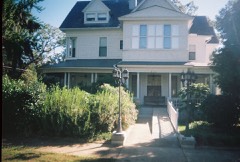 | John Lee McFarlin House | building | 1974 | 74000627 |
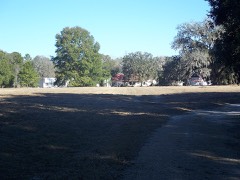 | Dr. Malcolm Nicholson Farmhouse | building | 1994 | 94001272 |
| Northside High School | building | 2019 | 100003408 | |
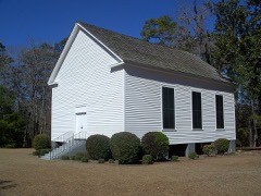 | Old Philadelphia Presbyterian Church | building | 1975 | 75000557 |
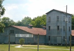 | Planter's Exchange, Inc. | building | 1999 | 99001147 |
 | Quincy Historic District | district | 1978 | 78000942 |
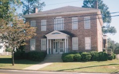 | Quincy Library | building | 1974 | 74000628 |
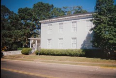 | Quincy Woman's Club | building | 1975 | 75000555 |
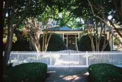 | E. B. Shelfer House | building | 1975 | 75000556 |
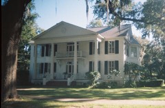 | Stockton-Curry House | building | 1974 | 74000629 |
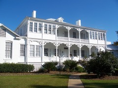 | U.S. Arsenal-Officers Quarters | building | 1973 | 73000578 |
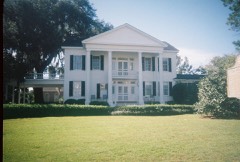 | Judge P. W. White House | building | 1972 | 72000319 |
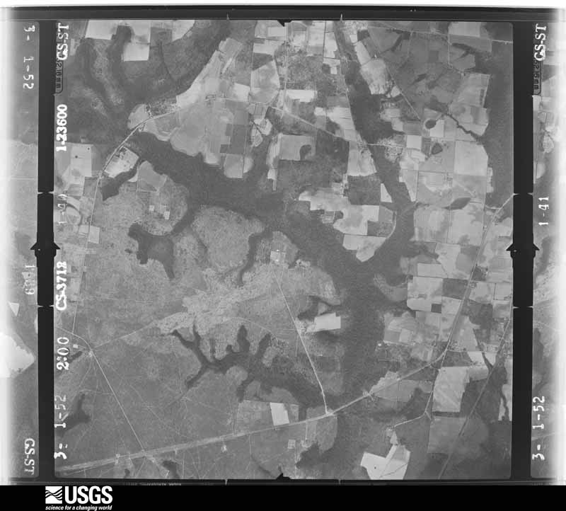
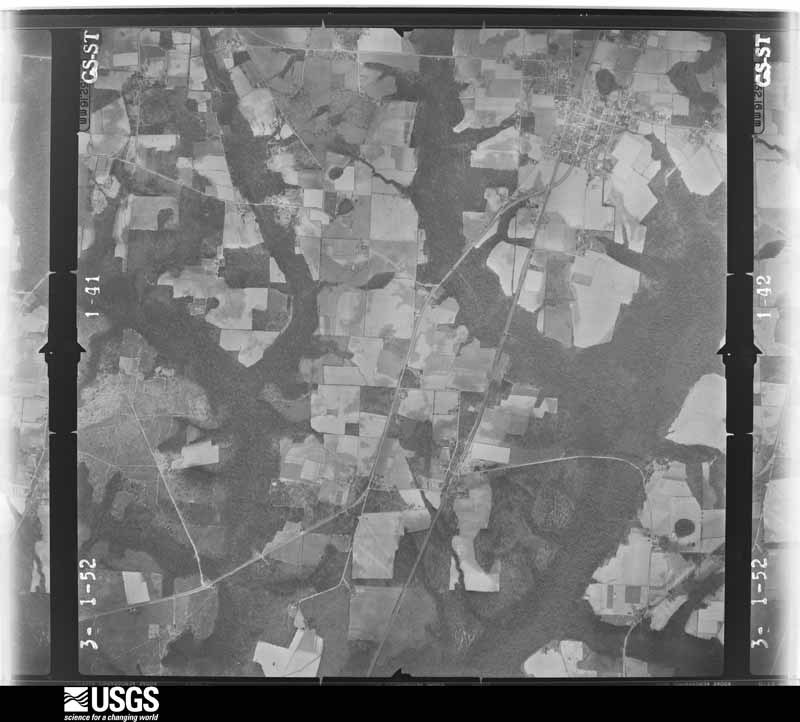
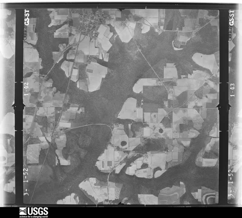
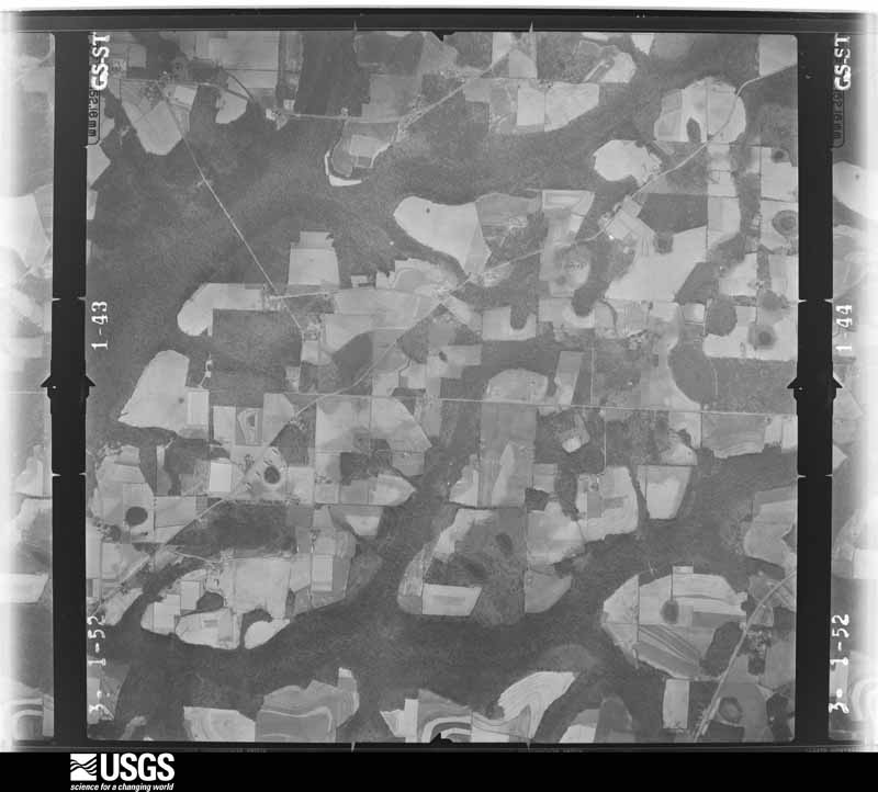
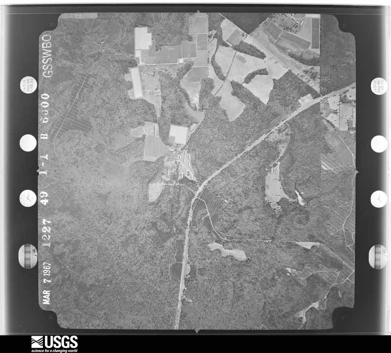
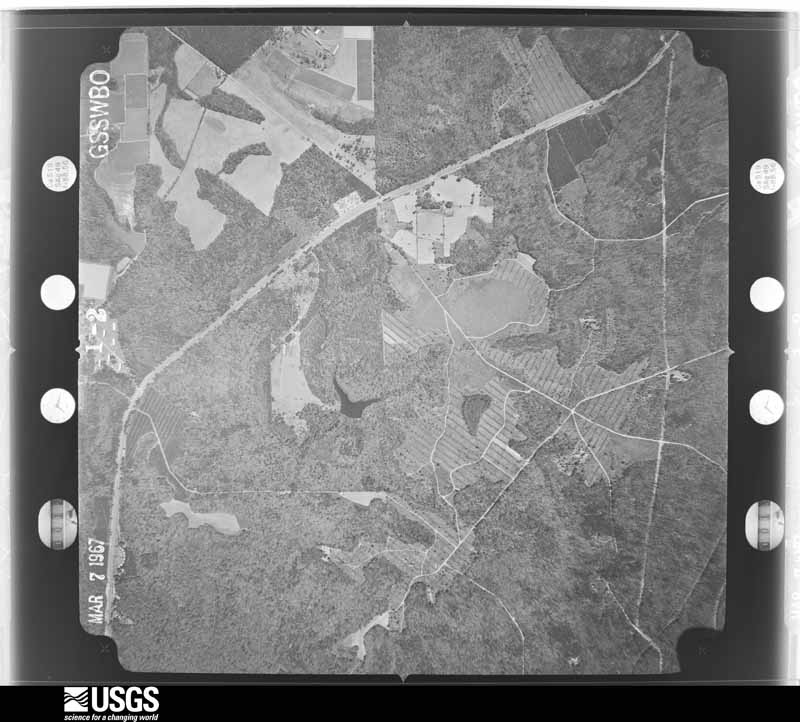
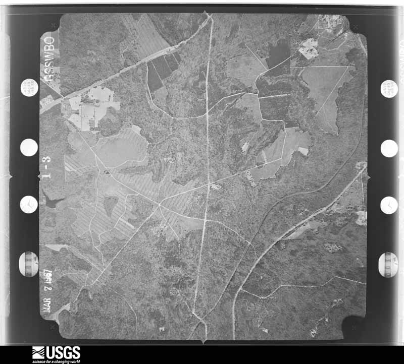
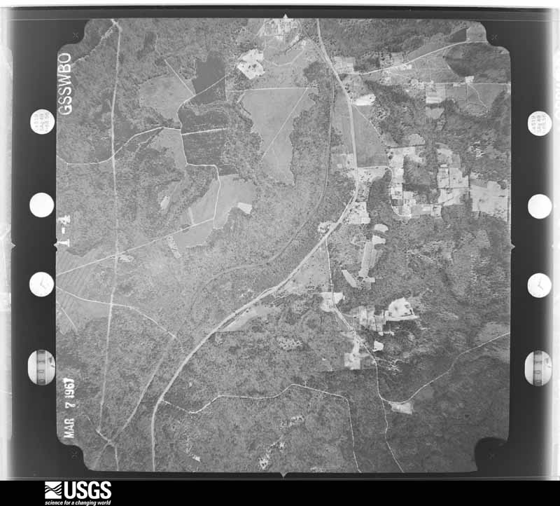
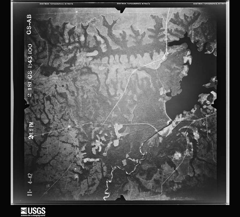
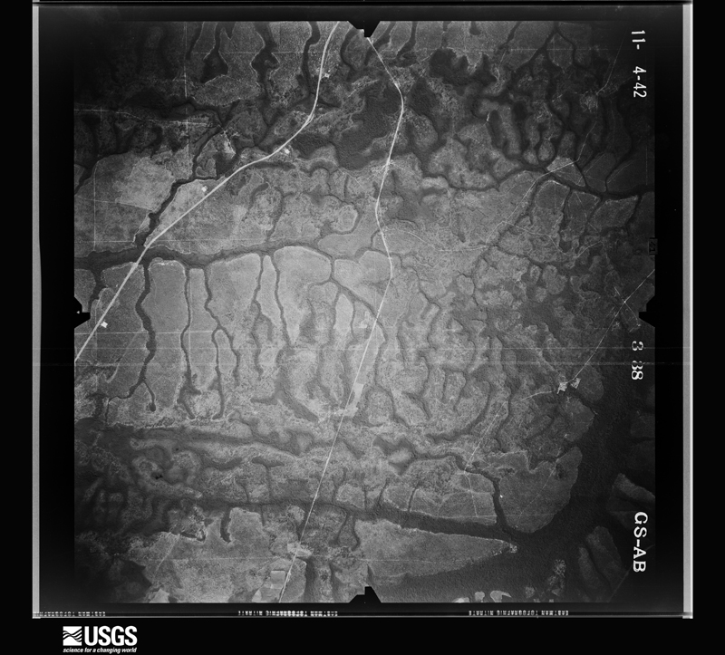
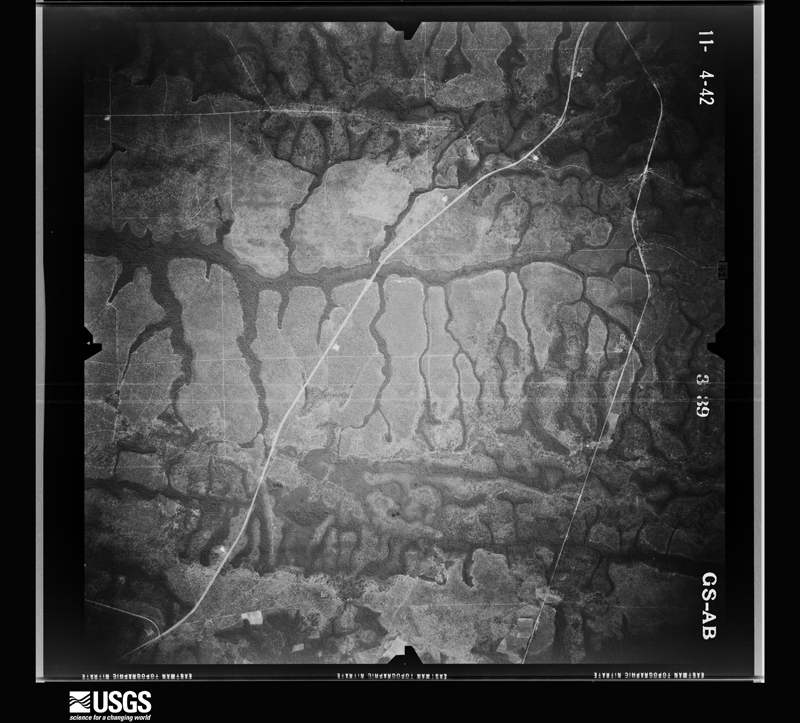
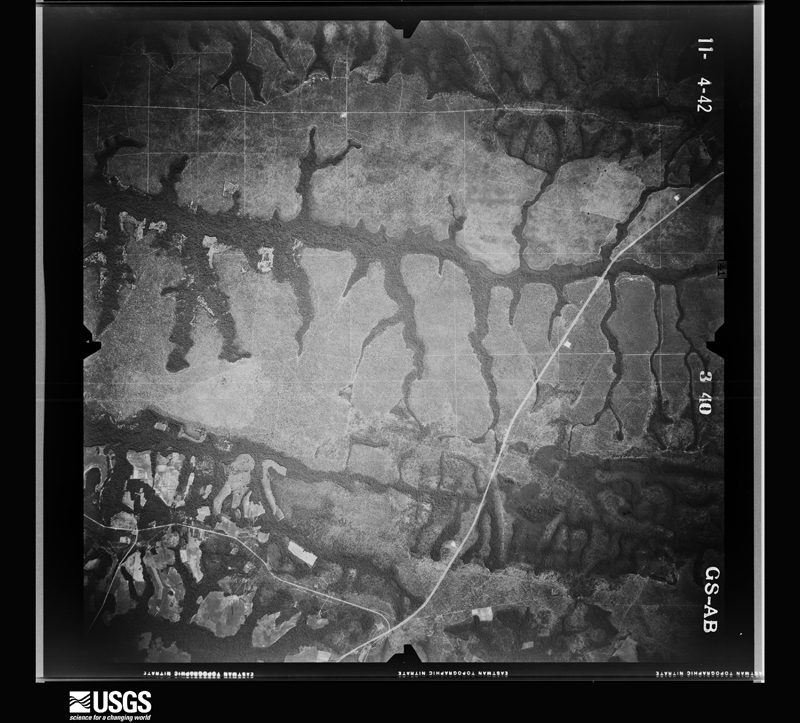
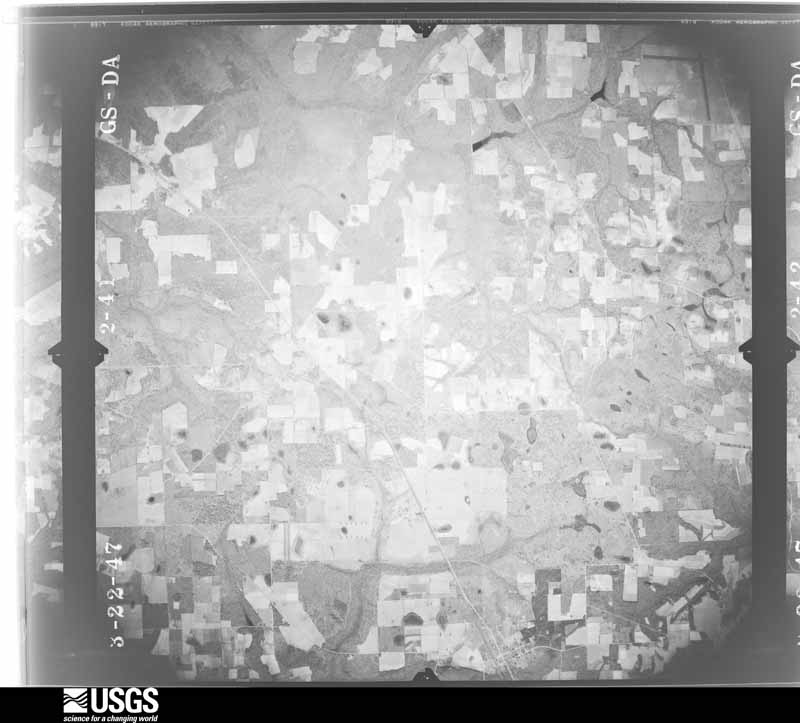
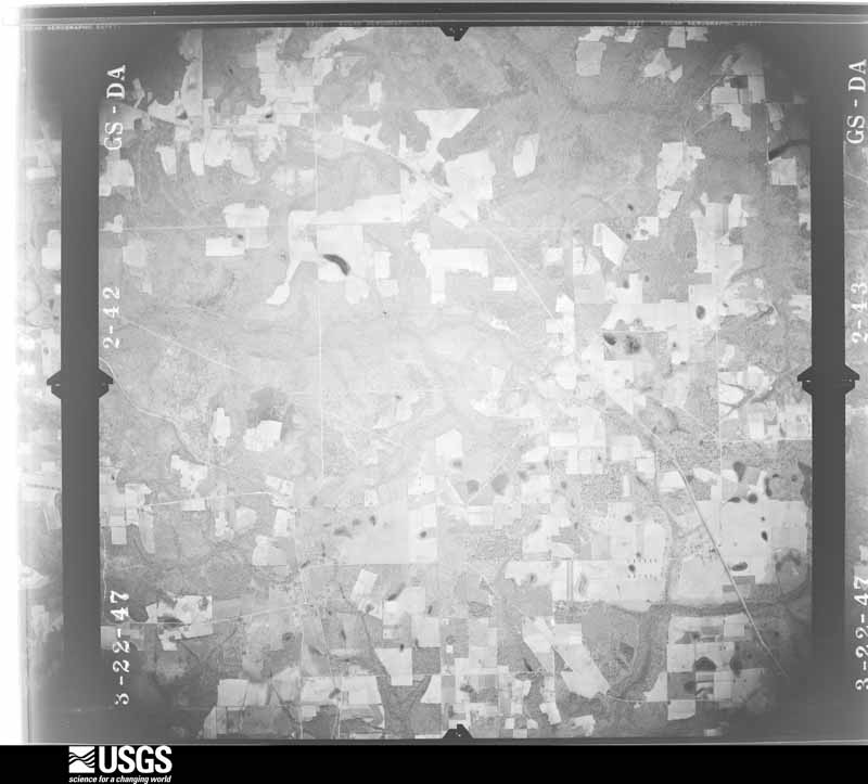
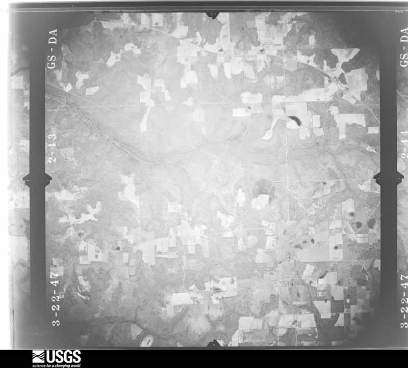
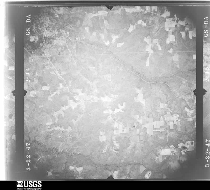
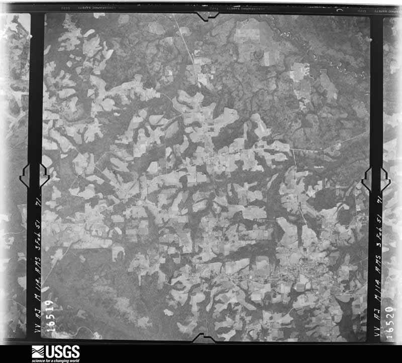
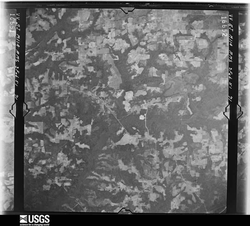
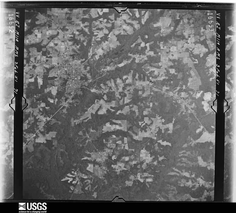
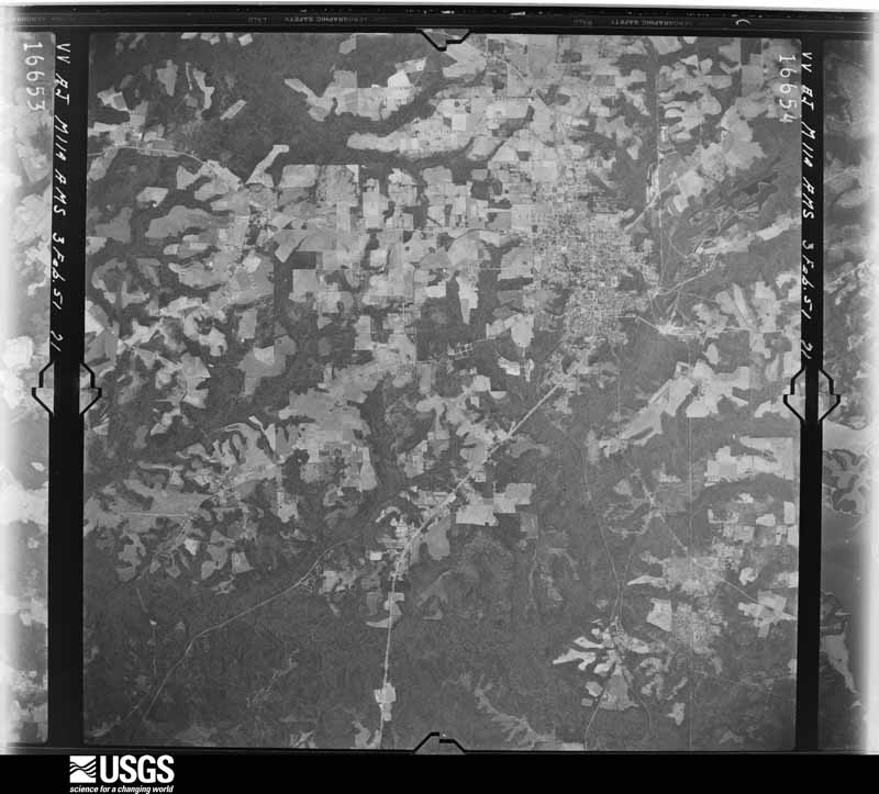
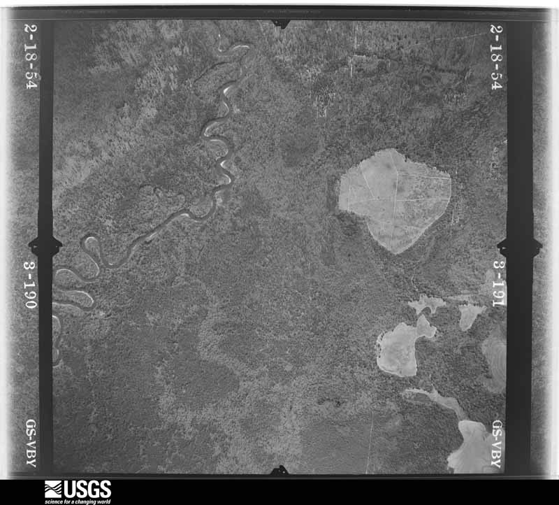
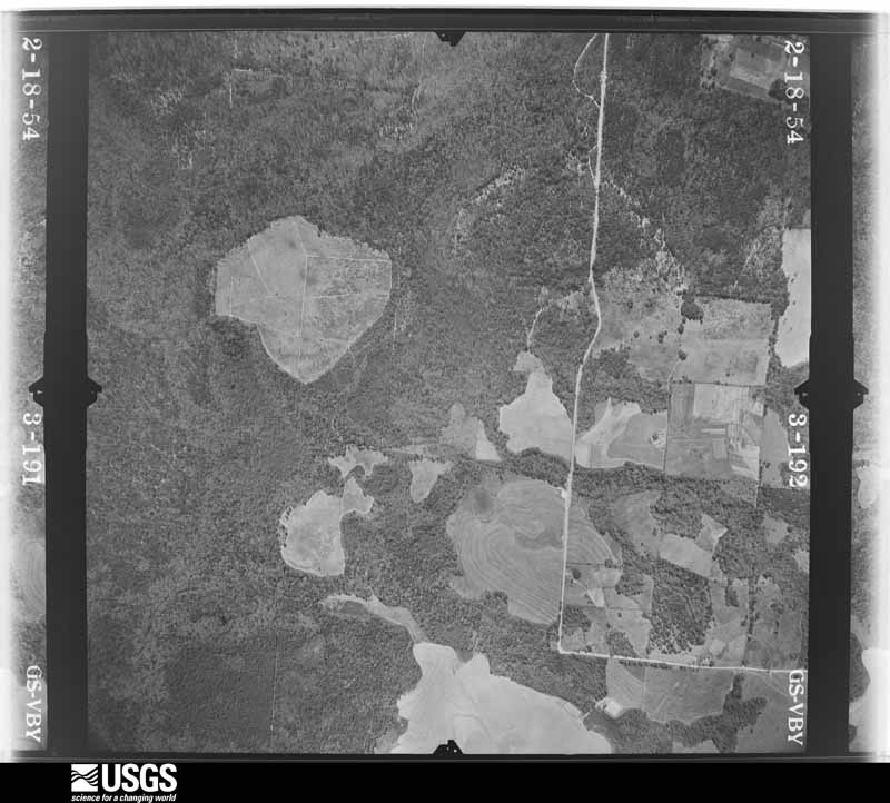
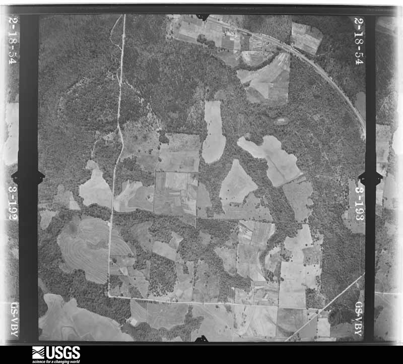
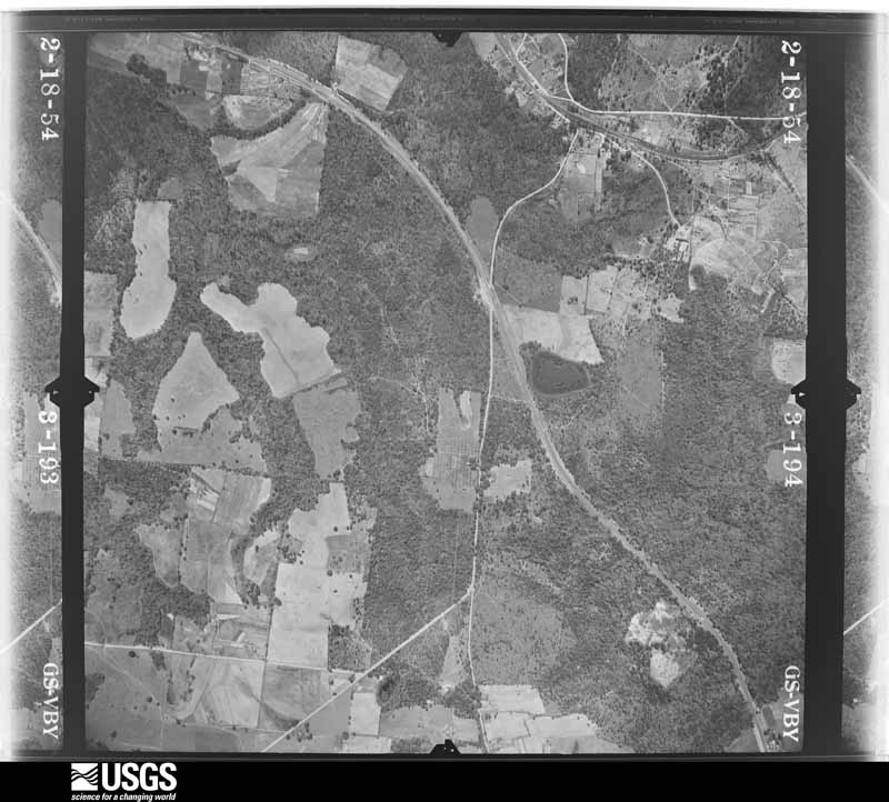
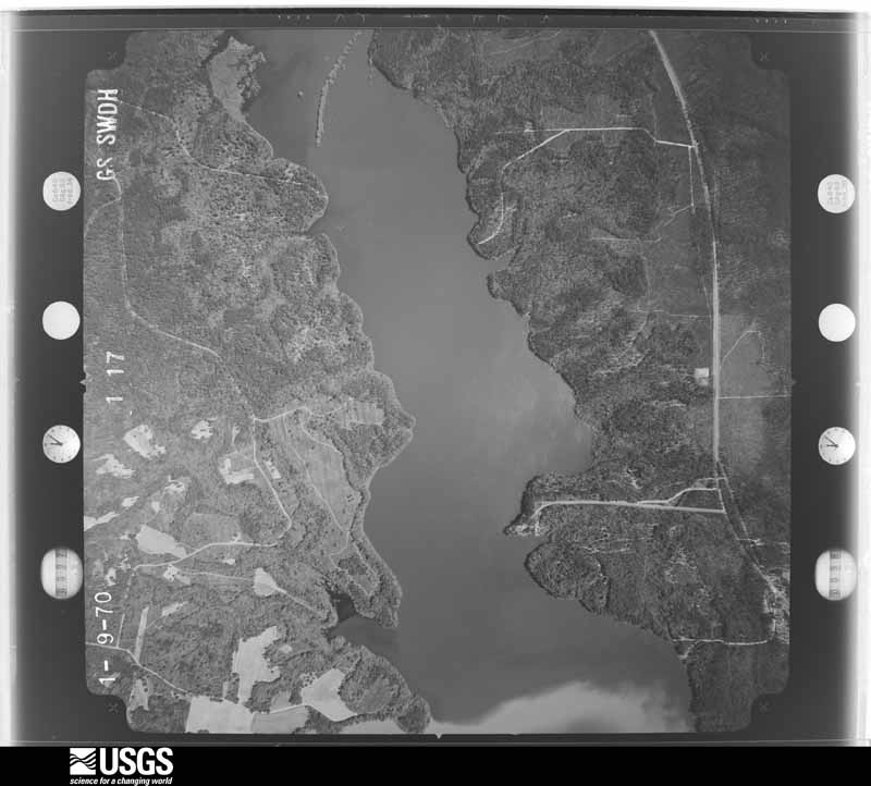
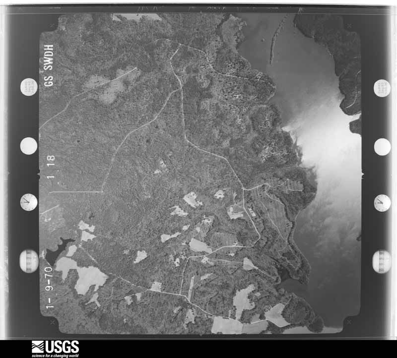
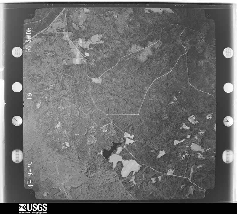
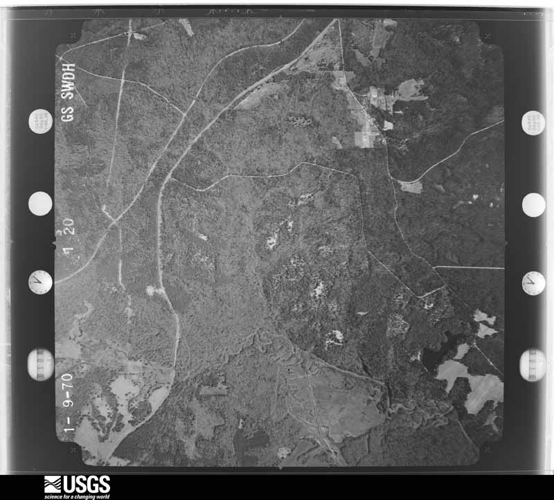
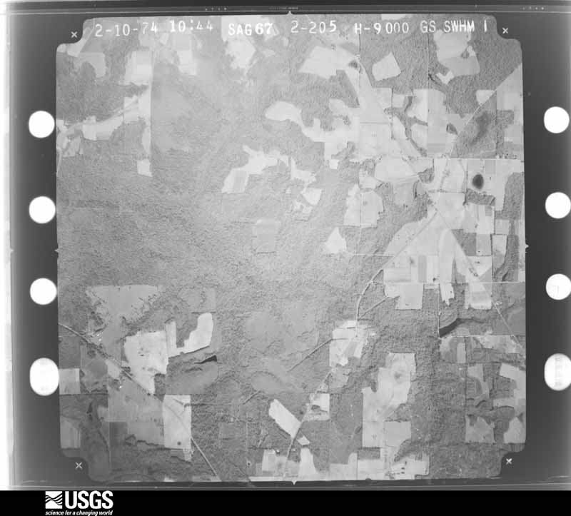
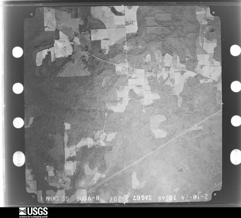
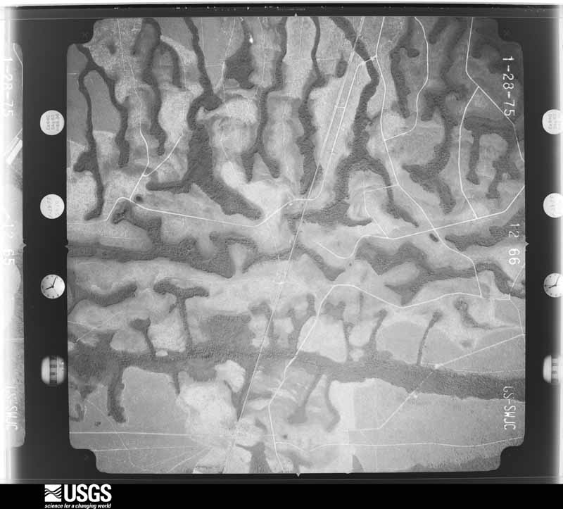
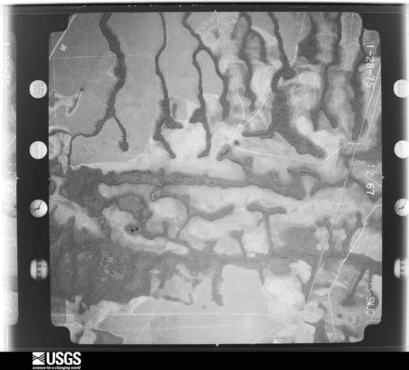
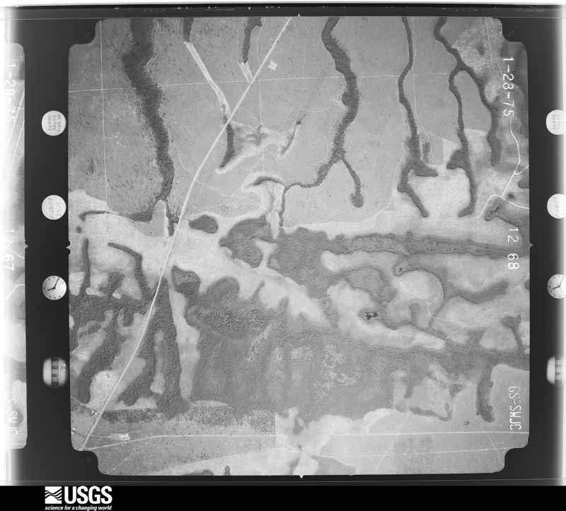
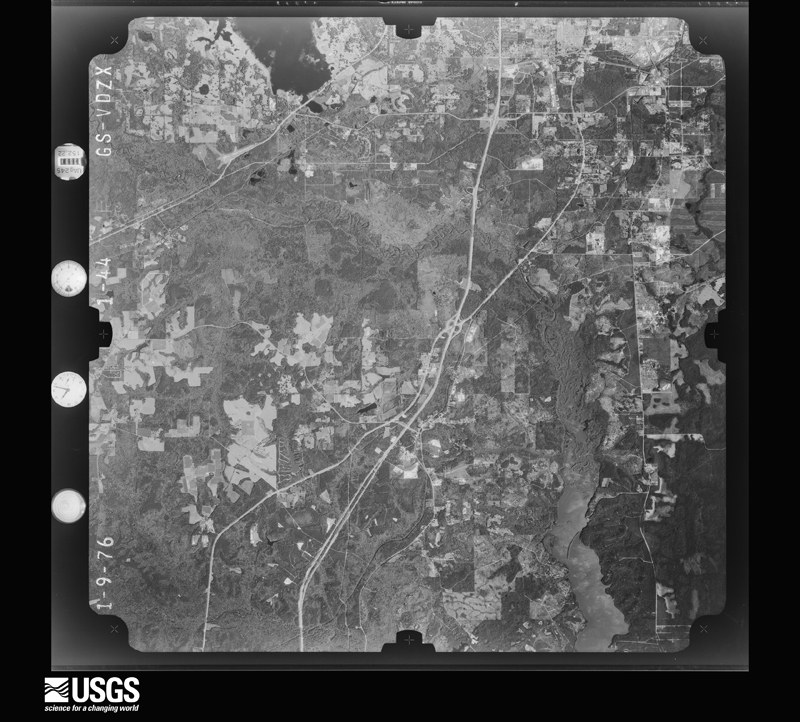
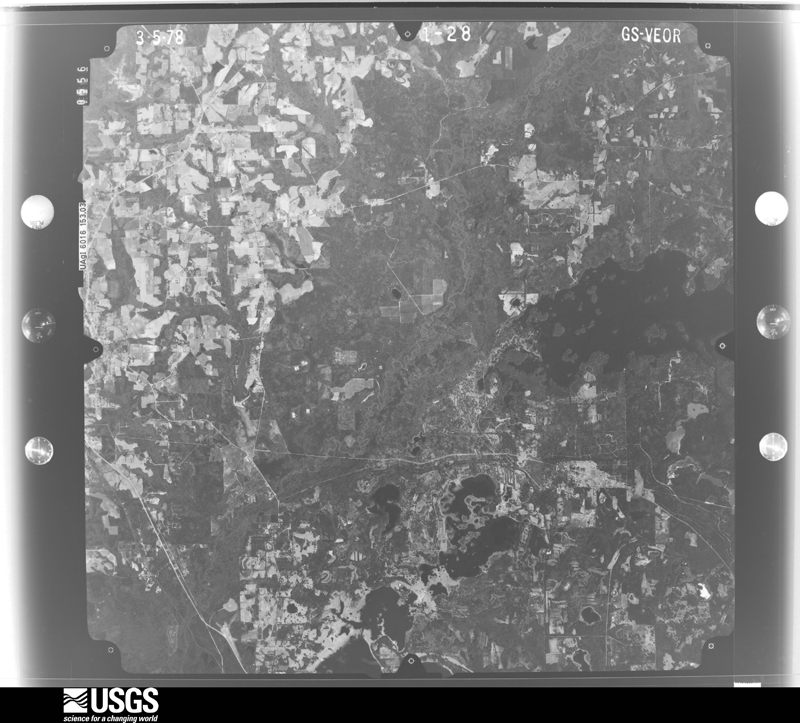
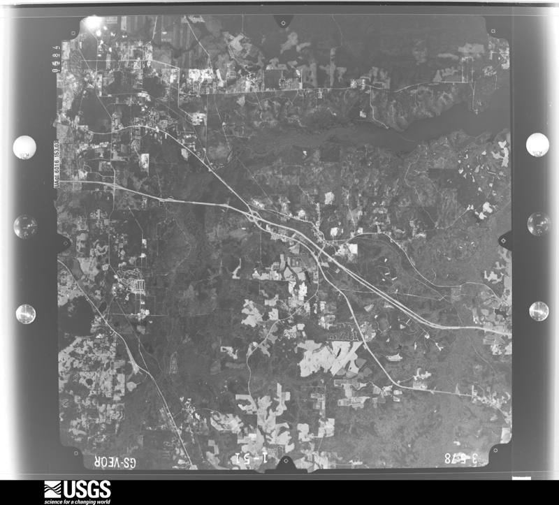
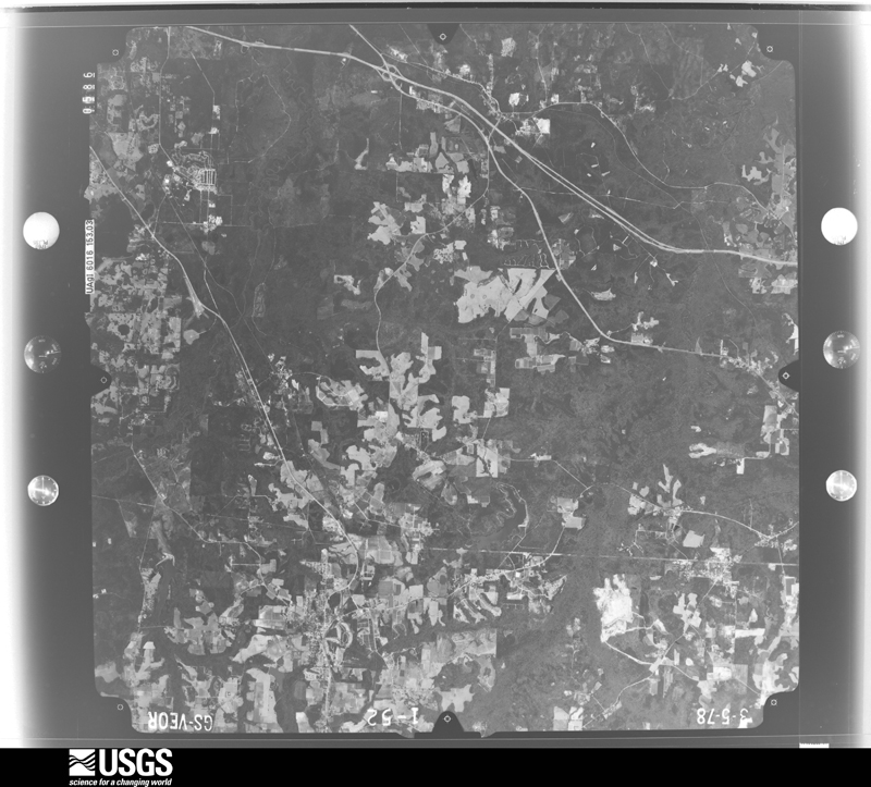
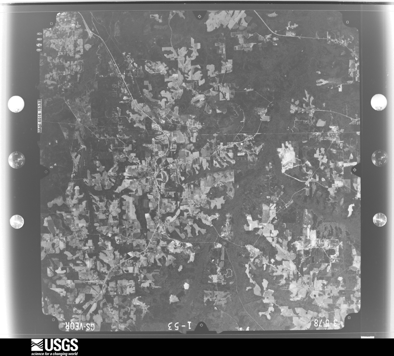
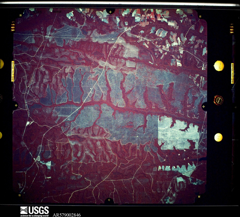
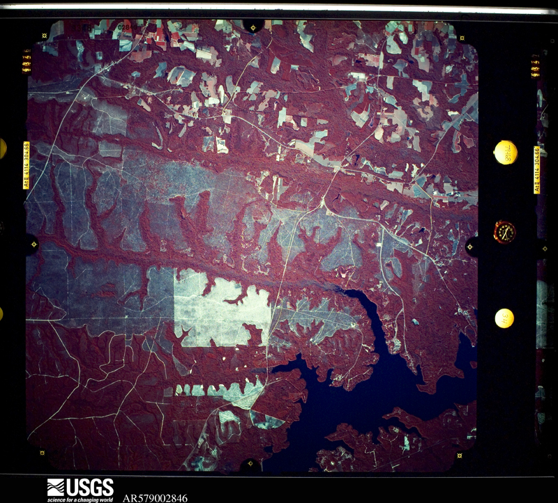
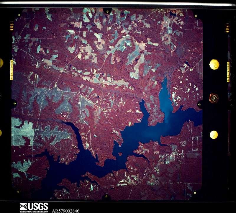
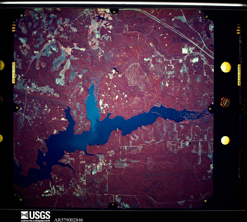
Flown by the U.S. Geological Survey between 1937 and 1989, the Aerial Photo Single Frames collection is the definitive mid-century view of the land: fields, roads and rivers as the camera saw them. The Survey holds 1,227 frames inside the rectangle that bounds this county; the 46 frames below were taken over the county itself, chosen across the decades of flights (at most four a year from that rectangle), so one flight cannot crowd out the rest. The full set is free to browse and download at EarthExplorer under the dataset Aerial Photo Single Frames.
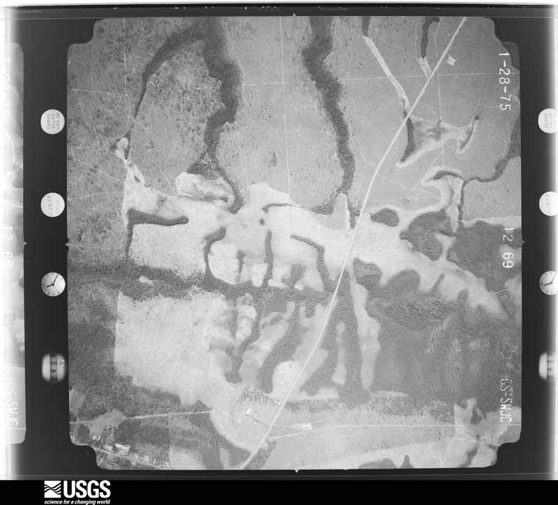
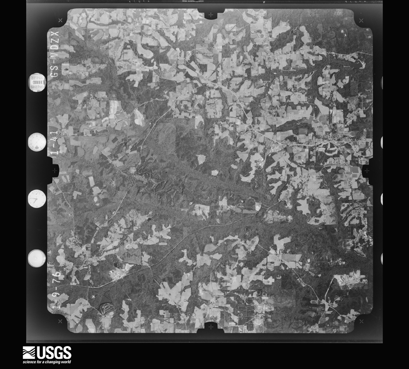
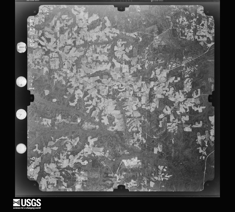
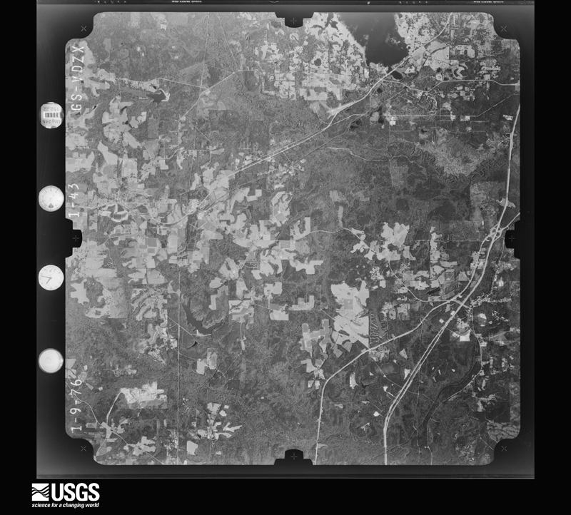
The thermometers that kept this county's weather, and the gages that measured the flow of its streams, as the federal records hold them. The extremes below are measured values from those records, not estimates.
Who lived here in 1950, one enumeration district at a time, as the Census Bureau described each district. Each row opens its official National Archives result, with Population Schedules and ED Maps available there.
Every wildfire the federal occurrence database records inside this county: 766 of them, burning about 4,810 acres. 28 started naturally and 25 were recorded as arson. Each settlement page carries the fires within five miles of it.
| Reported cause | Fires |
|---|---|
| Debris and open burning | 268 |
| Railroad operations and maintenance | 208 |
| Missing data/not specified/undetermined | 116 |
| Equipment and vehicle use | 44 |
| Natural | 28 |
| Arson/incendiarism | 25 |
| Smoking | 25 |
| Misuse of fire by a minor | 21 |
| Recreation and ceremony | 12 |
| Power generation/transmission/distribution | 11 |
| Other causes | 6 |
| Fireworks | 2 |
The five largest, by the area the report gives. None of them was recorded as arson.
| Date | Cause | Size | Reported by | Name on the report |
|---|---|---|---|---|
| 4 May 1992 | Railroad operations and maintenance | 187 acres | Florida Forest Service | not named |
| 1 August 1993 | Natural | 160 acres | Florida Forest Service | not named |
| 29 February 1992 | Railroad operations and maintenance | 136 acres | Florida Forest Service | not named |
| 19 February 2005 | Debris and open burning | 80 acres | Florida Forest Service | BARBER RD |
| 3 October 2010 | Debris and open burning | 80 acres | Florida Forest Service | (20) BALL PARK FIRE 2010-04-0486 |
| 4 July 2019 | Natural | 75 acres | Florida Forest Service | INDEPENDENCE (20) |
| 9 April 2015 | Debris and open burning | 75 acres | Florida Forest Service | CANE CREEK FIRE (20) |
| 4 March 2006 | Debris and open burning | 75 acres | Florida Forest Service | (20) HORSESHOE RD FIRE |
Every settlement page carries the fires within five miles of it - see the settlement index below.
The NOAA Storm Events Database holds 278 reports for this county, causing 4 deaths, 9 injuries and about $2,898,500 in recorded property damage. Each settlement page carries the reports that name it.
| Kind of event | Reports |
|---|---|
| Thunderstorm Wind | 191 |
| Tornado | 35 |
| Hail | 31 |
| Flash Flood | 15 |
| Lightning | 3 |
| Flood | 3 |
The most serious of them, by death, then injury, then recorded damage. The accounts are quoted exactly as the forecast office filed them.
| When | Event | Place named | Harm | What the report says |
|---|---|---|---|---|
| January 1974 | Tornado (F2) | not stated | 1 killed, 4 hurt, $250,000 | no account filed |
| June 1997 | Lightning | Havana | 1 killed, 2 hurt | no account filed |
| December 1995 | Tornado (F2) | Mt. Pleasant | 1 killed, 1 hurt, $30,000 | A tornado destroyed a mobile home carrying the two residents over 125 yards. The men were found four hours later, one man (50) was dead, the other, his brother, (49) was severely injured. Items from the dwelling were found three miles away. M50MH |
| July 2024 | Lightning | Douglas City | 1 killed | At 3:30 pm EDT on July 21, 2024, an employee working as a roofer for a roofing contractor was installing a single ply roof over an existing metal roof when a storm approached. As the crew was covering up their tools, the employee was struck by lightning. The employee died from multiple injuries due to the lightning strike. |
| February 2008 | Tornado (EF1) | Mt Pleasant | 1 hurt, $200,000 | The tornado touched down just south of Interstate 10 at Mile Marker 168. An tractor-trailer was blown over on the interstate with only minor injuries to the driver. The next area of damage was just east of the community of Hardaway, or three miles north of the interstate. At this location numerous trees were snapped or uprooted with minor damage to two mobile homes. A 19-foot boat was flipped over and shed were destroyed on Finnuff Road. More significant damage was observed in the community of Mt Pleasant where a few homes were damaged. A home on B.W. Martin Road sustained complete roof failure and a loss of a free standing carport. The metal sheeting was scattered through the neighboring field and twisted like rope. About a mile north of U.S. Highway 90 on Mt Pleasant Road, two homes sustained severe roof damage with large oak trees uprooted around the homes. At this location, the tornado reached its peak intensity of EF1 with a path width of 150 yards prior to lifting as the parent supercell storm traveled northeast. |
| June 2009 | Thunderstorm Wind | Altschul | 1 hurt, $30,000 | A roof was blown off a house and several trees were down along Rich Bay Road. A downed tree fell through a mobile home and injured the lone occupant. |
| April 1979 | Tornado (F1) | not stated | $250,000 | no account filed |
| December 1969 | Tornado (F2) | not stated | $250,000 | no account filed |
| June 1968 | Tornado (F1) | not stated | $250,000 | no account filed |
| June 1961 | Tornado (F2) | not stated | $250,000 | no account filed |
| November 1961 | Tornado (F2) | not stated | $250,000 | no account filed |
| October 1997 | Tornado (F1) | Midway | $200,000 | Four F1 tornado touchdowns. Numerous 12-24" diameter trees uprooted on Gadsden County Road 159. Considerable debris on Florida Highway 27 five miles NE of Midway. Power outages in Midway. |
| August 2008 | Flash Flood | Midway | $100,000 | Many roads and low lying areas in the eastern portion of the county were flooded. |
| March 2000 | Thunderstorm Wind | Central Portion | $100,000 | Numerous downed trees and power poles. Downed trees littered Interstate 10 at the Greensboro exit causing a series of minor traffic accidents. Several road signs were blown over. High winds forced a semi-truck onto an embankment. Reported by the Gadsden County EMA. |
| May 2024 | Tornado (EF1) | Sawdust | $75,000 | The tornado touched down in Gadsden county, initially damaging an old barn or farm building. The tornado track southeastward, snapping and uprooting trees through the remainder of Gadsden County before crossing the Ochlockonee River and entering western Leon County just southwest of U.S. 90. The Gadsden portion of this tornado is rated EF1. |
| April 2011 | Thunderstorm Wind | Quincy | $75,000 | Trees were blown down across the county with 5-8 homes with minor to major damage in Quincy. Numerous roads were blocked by downed trees. The monetary damage figure provided is a rough estimate. |
| April 2020 | Tornado (EF1) | Gretna | $50,000 | The tornado touched down northeast of Gretna, FL in a field south of M&M Lane and moved northeast through a community with the final piece of damage being seen on Bainbridge highway. The majority of the damage was uprooted and snapped trees as well as some siding, roof and undercarriage damage on manufactured homes. The areas to the northeast and southwest were extensively surveyed but no additional damage was found. |
| March 2019 | Tornado (EF1) | Greensboro | $50,000 | This EF-1 tornado touched down just west of Pat Thomas Highway, FL Route 267, and just north of Cox Lane. The tornado flipped a single-wide mobile home upside down. On the opposite side of the highway, a couple of large pine trees snapped, one of which crashed through the roof of a home narrowly crushing a couple that were in bed at the time. Fortunately, no one was injured. The tornado continued east southeast roughly paralleling the CSX tracks. An aerial survey showed trees snapped along the route. Ground surveys showed damage to homes along Jim Williams road. The tornado reached its greatest strength at this point, snapping a few small utility poles, removing about half the roof of one home and damaging a couple of others. The tornado lifted just beyond the end of this road. Damage cost was estimated. |
| November 2014 | Tornado (EF1) | Sycamore | $50,000 | This is a continuation of the tornado from Calhoun and Liberty counties. The last portion of the damage path was in southwest Gadsden County where the tornado briefly intensified and the damage path narrowed. Another corridor of more significant tree damage was noted near Sycamore Road and Winding Creek Road. Numerous trees were snapped or uprooted, and several power poles were snapped. A few homes in this area had some minor damage to the exterior of the structure. Damage in this area was rated EF1. The damage path quickly narrowed thereafter, and the damage became more sporadic, with the last damaged noted along Flat Creek Road just east of Audie Clark Road.||With a total damage path length of 22.3 miles, this was the longest tornado path in the NWS Tallahassee County Warning Area (CWA) since March 1, 2007 (two tornadoes with about a 30mi path length in SE Alabama and SW Georgia during that event).||This is also the longest tornado path in the state of Florida since a February 1, 2007 tornado in Lake and Volusia Counties in central Florida (26 miles). |
| July 1976 | Tornado (F1) | not stated | $25,000 | no account filed |
| May 1974 | Tornado (F1) | not stated | $25,000 | no account filed |
| April 1973 | Tornado (F1) | not stated | $25,000 | no account filed |
| October 1972 | Tornado (F2) | not stated | $25,000 | no account filed |
| October 1972 | Tornado (F2) | not stated | $25,000 | no account filed |
| February 1969 | Tornado (F1) | not stated | $25,000 | no account filed |
| June 1967 | Tornado (F2) | not stated | $25,000 | no account filed |
| September 2023 | Thunderstorm Wind | Midway | $20,000 | The Midway Fire Department reported that a tree fell on a car on Dupont Road north of Midway. |
| December 1995 | Tornado (F1) | Hinson | $20,000 | A tornado demolished a small block building and damaged an adjacent store. Pieces of the building's roof was in trees a large pecan tree were uprooted. |
| June 2004 | Lightning | Chattahoochee | $10,000 | Lightning damaged a communications tower. Reported by the Gadsden County EMA. |
| September 2002 | Flash Flood | East Portion | $10,000 | Up to four inches of rain flooded a few county roads. Minor street flooding was observed in Quincy. Reported by the Gadsden County Sheriff. |
| March 2001 | Thunderstorm Wind | Northeast Portion | $10,000 | Trees and power lines down. Reported by the Gadsden County EMA. |
| January 2000 | Thunderstorm Wind | Countywide | $10,000 | The Gadsden County S.O. reported numerous trees and power lines down with scattered power outages south of Interstate 10. |
| May 1997 | Thunderstorm Wind | Chattahoochee | $7,000 | A large oak tree limb was blown onto a home by high winds. |
| January 2019 | Thunderstorm Wind | Quincy | $5,000 | Damage occurred to a radio tower near Quincy. |
| June 2015 | Thunderstorm Wind | Freemont | $5,000 | Numerous trees and power lines were blown down just west of Havana with the most damage centered around Riverview Road. |
| June 2008 | Thunderstorm Wind | Chattahoochee | $5,000 | Numerous trees and power lines were down. |
| July 1998 | Thunderstorm Wind | Countywide | $5,000 | Several trees down countywide. A power outage reported in Quincy. |
| November 1997 | Thunderstorm Wind | Juniper | $5,000 | Severe thunderstorm winds blew down trees and some power lines near the Liberty-Gadsden county line. |
| April 1997 | Thunderstorm Wind | Greensboro | $5,000 | no account filed |
| June 2025 | Thunderstorm Wind | Chattahoochee | $4,000 | Trees and power lines were blown down across Gadsden county. |
| July 2015 | Thunderstorm Wind | Lake Talquin | $4,000 | Some power outages were caused by a trees down on power lines in the Lake Talquin area. |
| July 2015 | Thunderstorm Wind | Havana | $4,000 | Power lines were blown down in Havana. |
| January 2013 | Thunderstorm Wind | Chattahoochee | $4,000 | Large limbs were down on power lines across the county causing power outages. Monetary damage was estimated. |
| January 2026 | Thunderstorm Wind | Chattahoochee | $3,000 | Trees and power lines were blown down in the Chattahoochee area. |
| May 2025 | Thunderstorm Wind | Hinson | $3,000 | A tree fell onto a power line via the Talquin outage map. |
| July 2020 | Thunderstorm Wind | Oak Grove | $3,000 | A tree was blown down on power lines off of South Oak Road. |
| January 2017 | Thunderstorm Wind | Concord | $3,000 | Power lines were blown down on Fairbanks Ferry Road. |
| February 2017 | Thunderstorm Wind | Branchville | $3,000 | Power lines were blown down along Point Milligan Road. |
| June 2014 | Thunderstorm Wind | Quincy | $3,000 | Several trees were blown down throughout Quincy. One tree caught fire as it struck a power line. |
| April 2014 | Thunderstorm Wind | Havana | $3,000 | A pine tree was snapped and a shed was damaged. Monetary damage was estimated. |
| November 2014 | Thunderstorm Wind | Lake Talquin | $3,000 | Numerous trees were snapped off at the trunk, and two large pine trees knocked down power lines. A carport was also demolished. Monetary damage was estimated. |
| July 2013 | Thunderstorm Wind | Chattahoochee | $3,000 | Multiple trees were blown down around Chattahoochee. |
| July 2012 | Thunderstorm Wind | Quincy | $3,000 | A tree and power line were blown down in Quincy. Monetary damage was estimated. |
| May 2012 | Thunderstorm Wind | Douglas City | $3,000 | Power lines were blown down along Highway 90 west of Quincy. Monetary damage was estimated. |
| February 1975 | Tornado (F0) | not stated | $2,500 | no account filed |
| June 1972 | Tornado (F1) | not stated | $2,500 | no account filed |
| June 1972 | Tornado (F1) | not stated | $2,500 | no account filed |
| June 1970 | Tornado (F2) | not stated | $2,500 | no account filed |
| November 1957 | Tornado (F2) | not stated | $2,500 | no account filed |
| February 2026 | Thunderstorm Wind | Midway | $2,000 | A tree fell on a power line and resulted in a power outage for Talquin's Brickyard substation. |
The Survey's mineral resources record lists 36 workings inside this county. 17 still produce and 19 are closed or unrecorded. Each settlement page carries the workings within five miles of it.
| Commodity | Workings |
|---|---|
| Clay | 15 |
| Sand | 9 |
| Fullers Earth | 7 |
| Sand and Gravel, Construction | 5 |
| Limestone, General | 1 |
The least common of them first, because a county's hundredth gravel pit says nothing its first ten did not.
Named settlements recorded in the Geographic Names Information System, each with the topographic sheets covering it. Villages, hamlets and abandoned places alike. Each is shown with the nearest named watercourse or landform and the survey quadrangle it falls on.
Quincy census division · 32352 · On Holman Branch · Quincy quadrangle
13 sheets, 1954 to 1994
No longer a settlement
Havana census division · 32352 · On Swamp Creek · Havana North quadrangle
12 sheets, 1954 to 1988
Chattahoochee census division · 32324 · On Hills Creek · Chattahoochee quadrangle
13 sheets, 1954 to 1994
Quincy census division · 32351 · On English Branch · Gretna quadrangle
14 sheets, 1954 to 1994
Quincy census division · 32351 · On McIntosh Branch · Lake Talquin quadrangle
12 sheets, 1943 to 1988
Havana census division · 32333 · On Attapulgus Creek · Havana South quadrangle
12 sheets, 1954 to 1994
Havana census division · 32333 · On Salem Branch · Havana South quadrangle
12 sheets, 1954 to 1994
Greensboro census division · 32330 · On Little Telogia Creek · Gretna quadrangle
14 sheets, 1954 to 1994
Chattahoochee census division · 32324 · On North Mosquito Creek · Chattahoochee quadrangle
13 sheets, 1954 to 1994
Havana census division · 32333 · On Mill Creek · Havana North quadrangle
12 sheets, 1954 to 1988
Greensboro census division · 32351 · On Tallahassee Creek · Sycamore quadrangle
14 sheets, 1954 to 1994
Quincy census division · 32351 · On Ocklawaha Creek · Lake Talquin quadrangle
12 sheets, 1943 to 1988
Quincy census division · 32352 · On Winkley Branch · Quincy quadrangle
13 sheets, 1954 to 1994
Havana census division · 32333 · Havana South quadrangle
12 sheets, 1954 to 1994
No longer a settlement
Quincy census division · 32351 · On Holman Branch · Quincy quadrangle
13 sheets, 1954 to 1994
Chattahoochee census division · 32324 · On North Mosquito Creek · Chattahoochee quadrangle
13 sheets, 1954 to 1994
Quincy census division · 32351 · On Tanyard Branch · Quincy quadrangle
13 sheets, 1954 to 1994
Havana census division · 32333 · Havana South quadrangle
12 sheets, 1954 to 1994
No longer a settlement
Quincy census division · 32351 · On Cane Creek · Lake Talquin quadrangle
12 sheets, 1943 to 1988
The vanished settlements of Gadsden County: the places named above that are no longer on the map.