 Block
BlockFrom the record
4 National Register listings published here.
Sources: the National Register database, National Park Service
78 topographic sheets cover 21 settlements here, and 4 properties are on the National Register of Historic Places.
4 National Register listings published here.
Sources: the National Register database, National Park Service
Every property in this county listed on the National Register of Historic Places, with the year it was listed and the federal nomination document.
| Photograph | Property | Type | Listed | Reference |
|---|---|---|---|---|
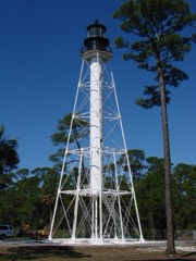 | Cape San Blas Lighthouse at Port St. Joe | building | 2015 | 15000208 |
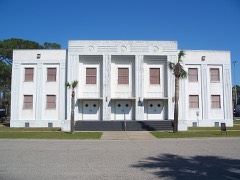 | Centennial Building | building | 1996 | 96000230 |
 | Port Theatre | building | 2003 | 03000508 |
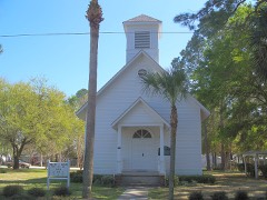 | St. Joseph Catholic Mission Church | building | 1998 | 98000924 |
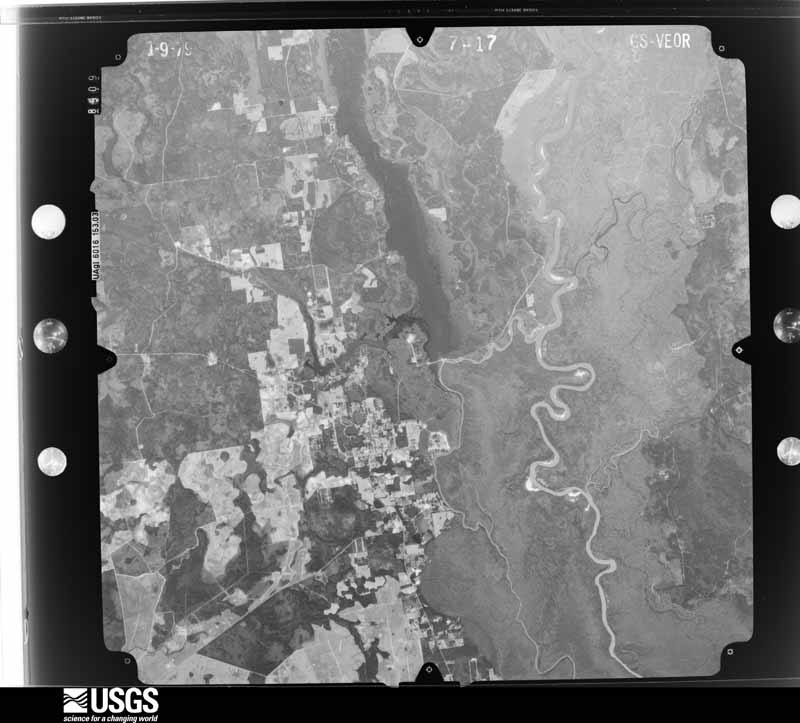
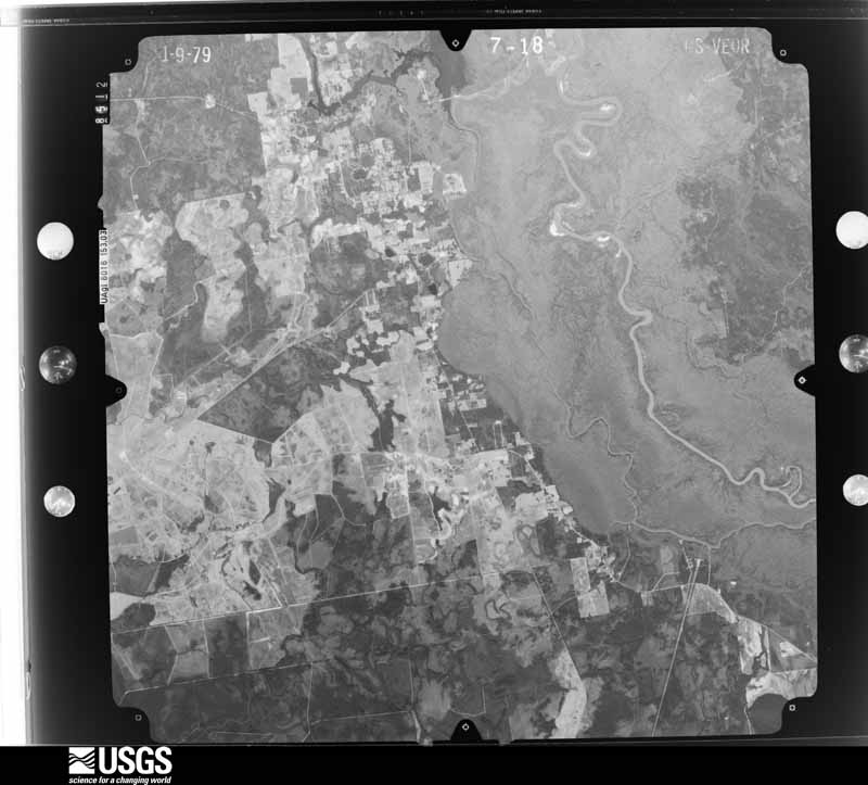
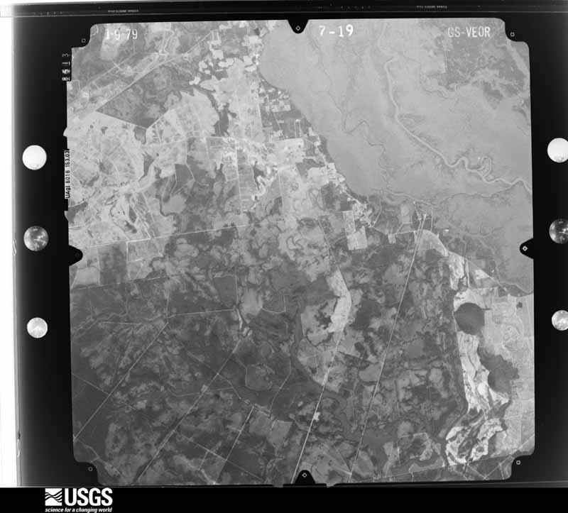
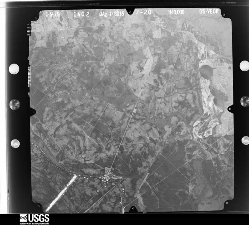
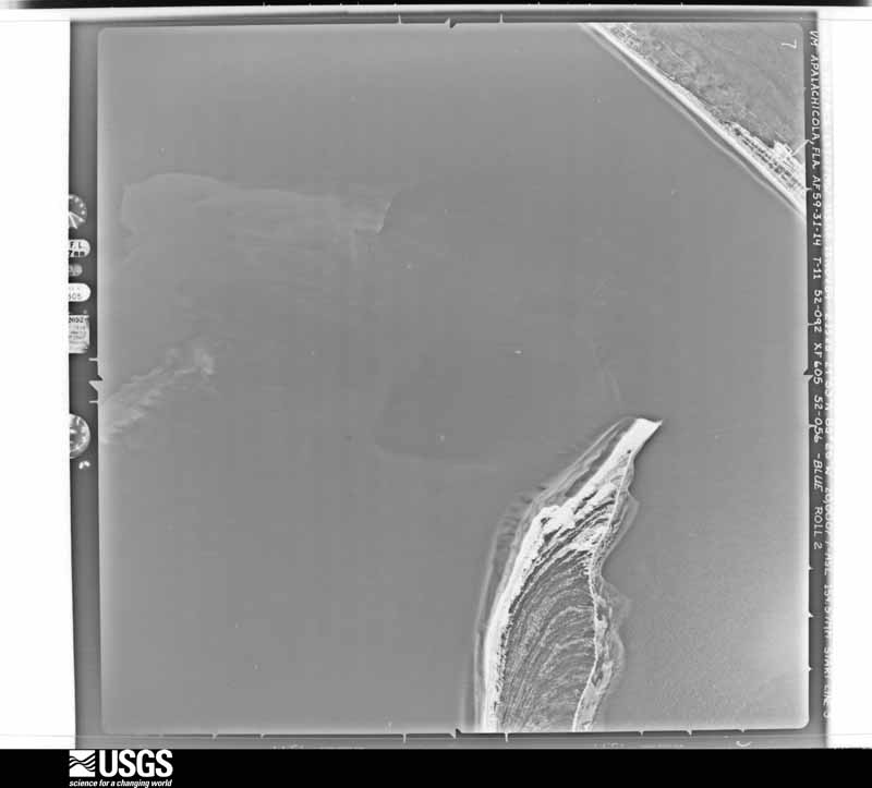
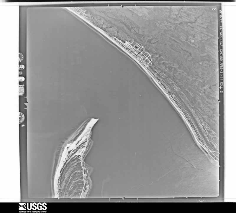
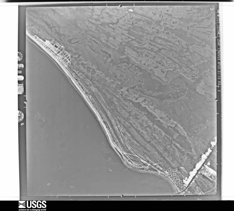
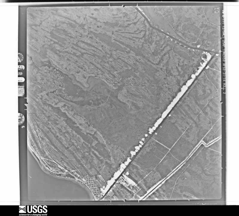
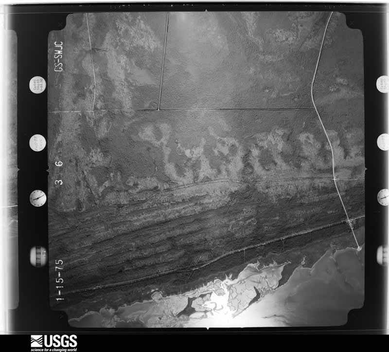
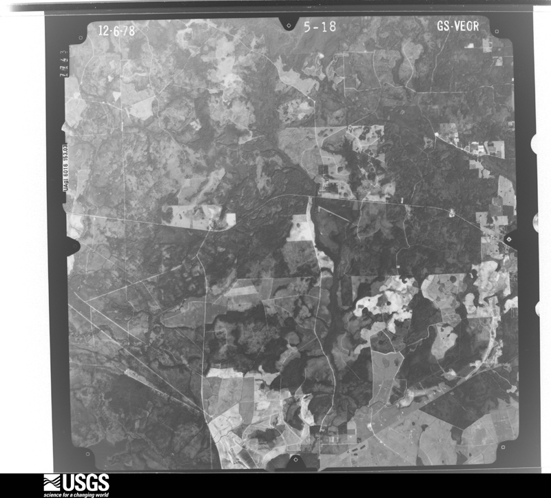
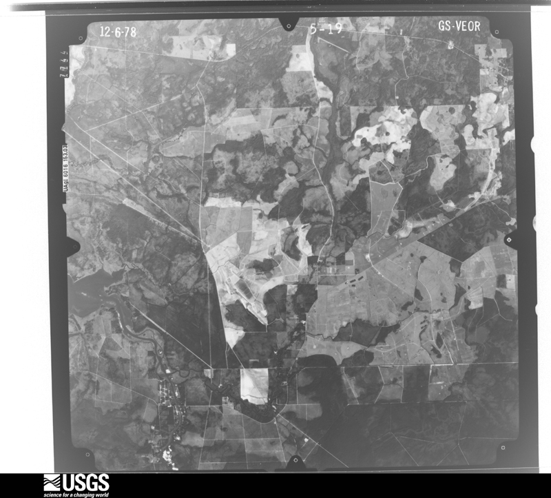
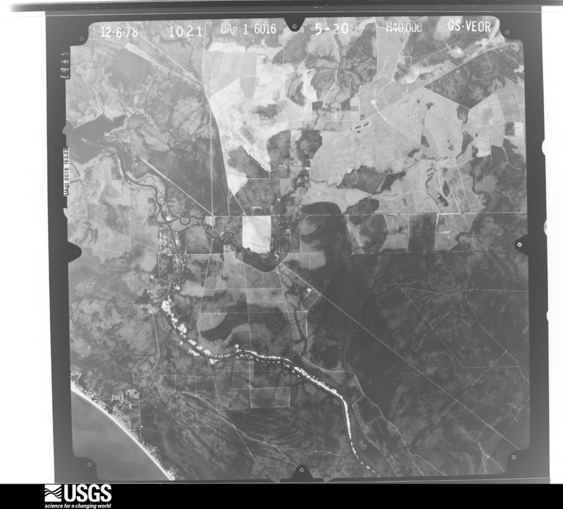
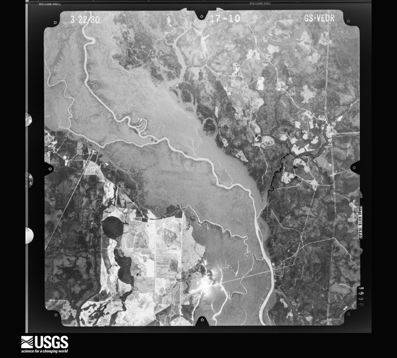
Flown by the U.S. Geological Survey between 1937 and 1989, the Aerial Photo Single Frames collection is the definitive mid-century view of the land: fields, roads and rivers as the camera saw them. The Survey holds 1,135 frames inside the rectangle that bounds this county; the 31 frames below were taken over the county itself, chosen across the decades of flights (at most four a year from that rectangle), so one flight cannot crowd out the rest. The full set is free to browse and download at EarthExplorer under the dataset Aerial Photo Single Frames.




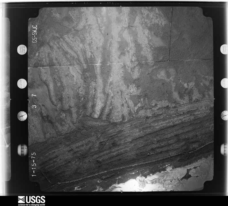
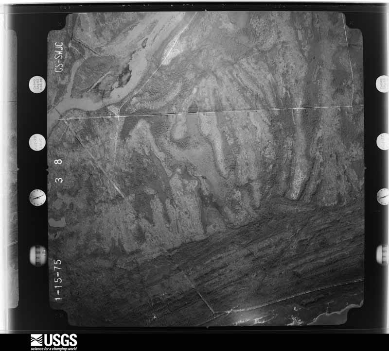
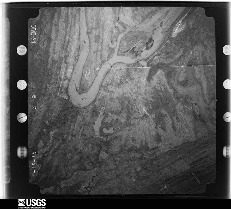
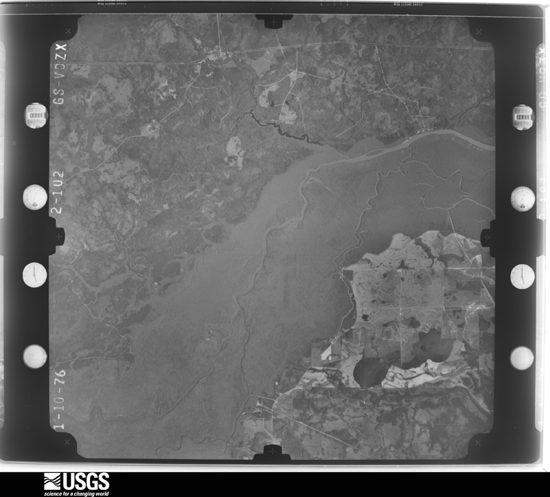
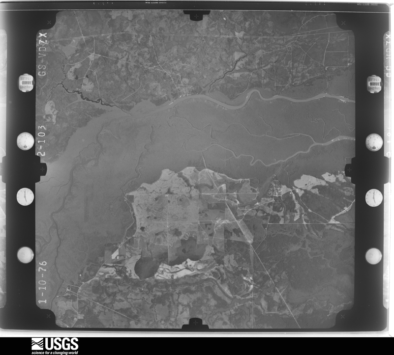
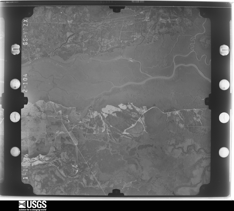
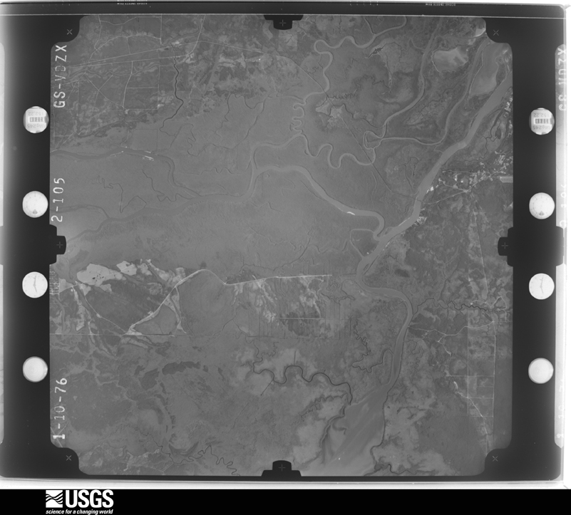
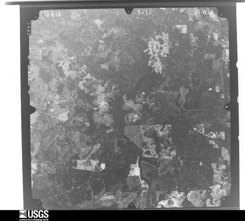


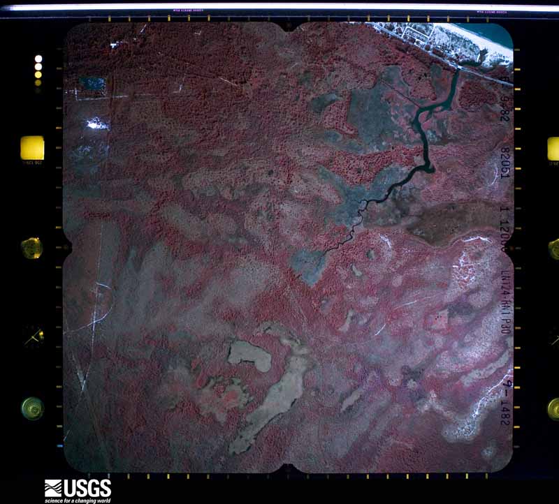
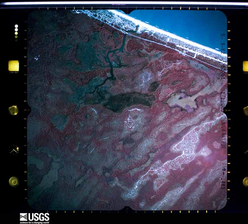
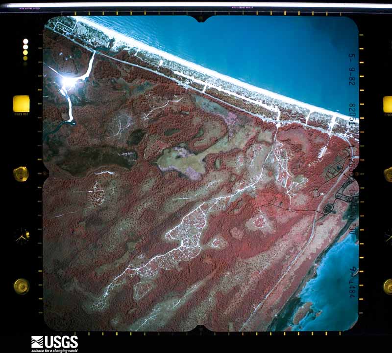
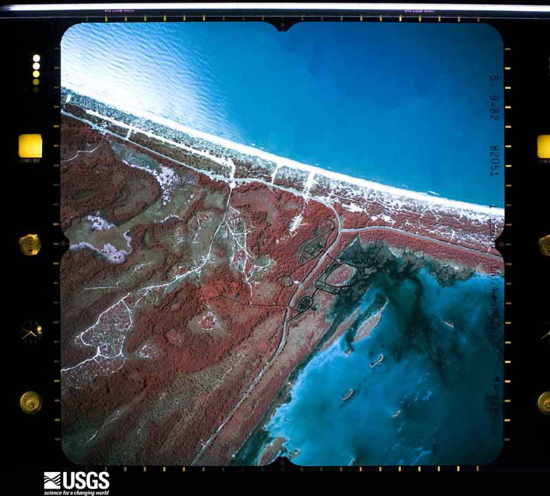
The thermometers that kept this county's weather, and the gages that measured the flow of its streams, as the federal records hold them. The extremes below are measured values from those records, not estimates.
Who lived here in 1950, one enumeration district at a time, as the Census Bureau described each district. Each row opens its official National Archives result, with Population Schedules and ED Maps available there.
Every wildfire the federal occurrence database records inside this county: 674 of them, burning about 30,416 acres. 253 started naturally and 49 were recorded as arson. Each settlement page carries the fires within five miles of it.
| Reported cause | Fires |
|---|---|
| Natural | 253 |
| Debris and open burning | 86 |
| Railroad operations and maintenance | 75 |
| Equipment and vehicle use | 73 |
| Arson/incendiarism | 49 |
| Missing data/not specified/undetermined | 48 |
| Misuse of fire by a minor | 35 |
| Smoking | 20 |
| Power generation/transmission/distribution | 14 |
| Recreation and ceremony | 13 |
| Other causes | 6 |
| Fireworks | 2 |
The five largest, by the area the report gives. None of them was recorded as arson.
| Date | Cause | Size | Reported by | Name on the report |
|---|---|---|---|---|
| 27 March 2018 | Debris and open burning | 8,080 acres | Florida Forest Service | FIREBREAK 56 (23) |
| 6 August 1993 | Missing data/not specified/undetermined | 1,848 acres | Florida Forest Service | not named |
| 24 May 1992 | Missing data/not specified/undetermined | 1,200 acres | Florida Forest Service | not named |
| 29 February 2000 | Railroad operations and maintenance | 1,135 acres | Florida Forest Service | WILDCAT FIRE |
| 20 June 1998 | Natural | 1,000 acres | Florida Forest Service | not named |
| 9 June 2011 | Equipment and vehicle use | 820 acres | Florida Forest Service | DOC WHITFIELD (23) |
| 9 July 2000 | Natural | 770 acres | Florida Forest Service | not named |
| 2 December 2001 | Railroad operations and maintenance | 750 acres | Florida Forest Service | not named |
Every settlement page carries the fires within five miles of it - see the settlement index below.
The NOAA Storm Events Database holds 172 reports for this county, causing 3 deaths, 3 injuries and about $4,157,750 in recorded property damage. Each settlement page carries the reports that name it.
| Kind of event | Reports |
|---|---|
| Thunderstorm Wind | 79 |
| Tornado | 28 |
| Hail | 26 |
| Flash Flood | 18 |
| Wildfire | 5 |
| Flood | 4 |
| Heavy Rain | 4 |
| Waterspout | 3 |
| Storm Surge/Tide | 2 |
| Lightning | 2 |
| Rip Current | 1 |
The most serious of them, by death, then injury, then recorded damage. The accounts are quoted exactly as the forecast office filed them.
| When | Event | Place named | Harm | What the report says |
|---|---|---|---|---|
| June 2025 | Lightning | Stonemill Creek | 1 killed | A 43 year old male was killed by a lightning strike in a boat while fishing. |
| July 2010 | Lightning | St Joe Beach | 1 killed | A 40 year old man was struck and killed by lightning while vacationing on Saint Joe Beach just prior to 1:30 pm EDT as reported by local newspapers. |
| May 2003 | Rip Current | Southwest Portion | 1 killed | An elderly man drowned in rough surf at the St. Joseph Peninsula State Park. Reported by the Gulf County EMA. |
| January 1993 | Tornado (F1) | Port St. Joe | 2 hurt, $50,000 | A small tornado touched down in an open field, then overturned a mobile home with two occupants and an unoccupied trailer, skipped across a road then dissipated. The two people in the mobile home suffered cuts and bruises but were otherwise fine. |
| October 1972 | Tornado (F2) | not stated | 1 hurt, $250,000 | no account filed |
| September 2002 | Storm Surge/Tide | Southwest Portion | $1,000,000 | Storm surge heights of four feet combined with large battering waves eroded sand up to six feet deep at Cape San Blas. A protective berm and several septic tanks were damaged. The Florida DOT reported that State Road 30 on Cape San Blas was washed over at the Stumphole, with about four feet of roadway eroded for a distance of 100 feet. St. Joseph Peninsula State park was closed. Reported by the Gulf County EMA. |
| July 2000 | Thunderstorm Wind | Dalkeith | $300,000 | Ten mobile homes damaged (one severely) and one frame home severely damaged near State Road 71 and Overstreet Road. One mobile home was shifted off its foundation. Reported by a WJHG-TV meteorologist and the Florida EOC. |
| February 2003 | Tornado (F0) | Port St Joe | $250,000 | A waterspout came ashore at the north side of Port St. Joe and damaged a dozen homes. A home was damaged by a fallen tree, a carport had collapsed on top of a vehicle, and the front porch of a beach house was blown onto a vehicle. Numerous trees and power lines down. Reported by the Gulf County EMA. |
| April 2003 | Tornado (F0) | Indian Pass | $250,000 | A waterspout came ashore near Windward Street on Cape San Blas. The weak tornado uprooted trees and power lines, and damaged a dozen homes as it moved northeast through Port, Leeward and Angle Fish Streets. Reported by the Gulf County EMA. |
| December 1978 | Tornado (F1) | not stated | $250,000 | no account filed |
| April 2021 | Thunderstorm Wind | Wewahitchka | $200,000 | There was significant damage to three structures with minor damage to four other structures in Wewahitchka. |
| November 2013 | Tornado (EF1) | Wewahitchka | $200,000 | This tornado was rated as an EF1 with max winds estimated around 95 mph and a path length of 2.92 miles. Damage consisted primarily of trees snapped and uprooted with power lines down, but there was also some structural damage to outbuildings and homes. The tornado tracked through the Land's Landing area and through Cochran Landing and out at Cox Landing. The worst damage was on Cox Landing Road where one home and vehicle suffered significant damage. The homeowner's boat was also blown away by the tornado and was missing. The homeowner was not home at the time. At least a few people witnessed this tornado, and dual-pol radar showed a well defined tornado debris signature (TDS) with this storm extending up to around 10,000 ft. Monetary damage was estimated. |
| February 1999 | Thunderstorm Wind | Beacon Hill | $200,000 | Straight-line winds caused scattered damage in the vicinity of Beacon Hill and St. Joe Beach. Two homes received moderate to severe roof damage. A neighboring vehicle was damage by a fallen power pole. Minor roof and privacy fence damage, as well as a few downed trees in the Beacon Hill and Gulfaire subdivisions. The entrance gate to Beacon Hill Park was damaged. Numerous road signs and markers damaged along Highway 98 in Beacon Hill. At Helmut St. and Highway 98, a vacation home roof and garage were leveled. |
| March 2005 | Tornado (F0) | Port St Joe | $150,000 | A tornado briefly touched down and damaged several homes and vehicles. Reported by a SKYWARN storm spotter. |
| March 2000 | Tornado (F0) | Port St Joe | $150,000 | A waterspout developed over St Joseph Bay and moved onshore. An office building sustained minor damage. Reported by the Gulf County EMA. |
| January 2016 | Flood | Stonemill Creek | $100,000 | Flooding from the Apalachicola river surrounded numerous structures in the Howard Creek area and flooded several roads. Water was up to 2 feet deep in parts of the community. Damage cost was estimated. |
| September 2000 | Flash Flood | Countywide | $100,000 | Between two and six inches of rain from Tropical Storm Helene inundated much of the county. Several county and secondary roads were flooded. A portion of U.S. Highway 98 was flooded in Port St. Joe. Reported by the Gulf County EMA. |
| March 2005 | Tornado (F0) | Wewahitchka | $75,000 | A tornado briefly touched down on Mossy Top Drive in the Douglas Landing Campground. It damaged a barn and destroyed two mobile homes. Reported by a SKYWARN storm spotter. |
| October 2025 | Thunderstorm Wind | Beacon Hill | $50,000 | Roof and siding damage occurred in Beacon Hill due to straight line winds. |
| March 2002 | Thunderstorm Wind | Northeast Portion | $50,000 | A building was destroyed. Reported by the Gulf County Sheriff. |
| September 2000 | Thunderstorm Wind | Port St Joe | $50,000 | Straight-line winds downed numerous trees and power lines across a one-mile swath of Port St. Joe. At least a dozen homes and several local businesses along a path from First Street to 20th Street were damaged. Torrential rains caused storm drains to back up in the downtown area where several businesses took on water. Reported by the Gulf County Sheriff and WJHG-7 TV meteorologist. |
| May 1999 | Thunderstorm Wind | Wewahitchka | $50,000 | A mobile home damaged and trees down reported by Gulf County EMA. |
| March 1998 | Tornado (F0) | Port St Joe | $35,000 | Waterspout came ashore two miles east of Port St. Joe Beach. Condo roof lifted off on beach side of Highway 98. Two neighboring houses and two vehicles sustained damage from flying debris. Numerous homes reported water damage in the Port St. Joe Beach, Port St. Joe, and Highland View areas. |
| January 1999 | Tornado (F0) | Wewahitchka | $30,000 | A brief tornado ripped the tin roof off a tavern, downed several trees, and damaged a vehicle parked in front of a video store. A residence on West Lake View Drive sustained minor damage to its roof and adjoining sheds. |
| September 2004 | Tornado (F0) | Beacon Hill | $25,000 | A tornado touched down in Beacon Hill. Minor damage to a few homes, as well as downed trees and power lines occurred along its path. Reported by the Gulf County EMA. |
| July 2000 | Thunderstorm Wind | Indian Pass | $25,000 | Gazebos picked up and thrown against a house. Its windows were blown out and roof damaged. Reported by the Gulf County Sheriff. |
| March 1998 | Tornado (F0) | Beacon Hill | $25,000 | Waterspout came ashore at Sun Ray Court in Beacon Hill. A carport was destroyed and numerous roofs were damaged. |
| February 1992 | Tornado (F1) | not stated | $25,000 | no account filed |
| July 1989 | Tornado (F1) | not stated | $25,000 | no account filed |
| March 1976 | Tornado (F0) | not stated | $25,000 | no account filed |
| December 1967 | Tornado (F2) | not stated | $25,000 | no account filed |
| September 1956 | Tornado (F2) | not stated | $25,000 | no account filed |
| May 2015 | Thunderstorm Wind | Wewahitchka | $20,000 | A tree fell on a house in Wewahitchka and also took down a power line. |
| April 2011 | Thunderstorm Wind | Wewahitchka | $20,000 | Widespread power outages were reported across the county with around 400 homes without power in Wewahitchka. The monetary damage figure provided is a rough estimate. |
| September 2002 | Storm Surge/Tide | Southwest Portion | $15,000 | Storm surge heights of two to three feet caused minor beach erosion near Cape San Blas and Mexico Beach. One home on Cape San Blas was damaged. Reported by the Gulf County EMA. |
| March 2000 | Thunderstorm Wind | Honeyville | $15,000 | Several large trees and power lines down on State Highway 71. Reported by the Gulf County EMA. |
| January 2023 | Thunderstorm Wind | Wewahitchka | $10,000 | Damage occurred to some chicken coops, dog pens, and a couple of trailers between Callaway and Wewahitchka in Gulf county. |
| March 2005 | Thunderstorm Wind | Overstreet | $10,000 | The Gulf County EMA reported roof damage to a residence. |
| May 2024 | Thunderstorm Wind | Oak Grove | $5,000 | Downed cable lines were reported in Port St Joe. |
| May 2024 | Thunderstorm Wind | Simmons Bayou | $5,000 | Porch screens were ripped apart, door mechanisms were torn, dead trees were broken, and light debris was scattered. |
| February 2017 | Thunderstorm Wind | Wewahitchka | $5,000 | Power lines were blown down in the Wewahitchka area. |
| March 2009 | Thunderstorm Wind | Honeyville | $5,000 | The tops of several large pine trees were snapped and a transformer exploded. |
| November 1997 | Tornado (F0) | Highland View | $5,000 | no account filed |
| June 2025 | Thunderstorm Wind | Dalkeith | $4,000 | Downed trees and power poles were reported in Gulf county. |
| July 2015 | Thunderstorm Wind | St Joe Beach | $3,000 | A couple pieces of aluminum siding were removed from a house. |
| December 2015 | Thunderstorm Wind | Stonemill Creek | $3,000 | Some power outages in northern Gulf county were caused by strong winds blowing trees and limbs down onto power lines. Damage was estimated. |
| July 2006 | Thunderstorm Wind | Wewahitchka | $2,500 | The Gulf County Sheriff reported several trees and power lines down. |
| February 1992 | Tornado (F0) | not stated | $2,500 | no account filed |
| January 1980 | Tornado (F0) | not stated | $2,500 | no account filed |
| March 1972 | Tornado (F1) | not stated | $2,500 | no account filed |
| February 2026 | Thunderstorm Wind | Wewahitchka | $2,000 | A phone pole and tree were blown down next to SR-71 near the Ace Hardware. |
| March 2025 | Thunderstorm Wind | Milltown | $2,000 | Power lines were blown down in Port St Joe on Highway 71 and Ave A. |
| June 2025 | Thunderstorm Wind | Highland View | $2,000 | Power outages were reported due to strong winds associated with storms moving through the area. |
| December 2024 | Thunderstorm Wind | Honeyville | $2,000 | Two power lines were blown down at Highway 71S and Laramie Street. |
| June 2023 | Thunderstorm Wind | White City | $2,000 | Trees were blown down onto power lines on Highway 71 near the Five Acre Farm. |
| January 2016 | Thunderstorm Wind | White City | $2,000 | A power line was blown down at Highway 71 and Industrial Road. Monetary damage was estimated. |
| October 2014 | Thunderstorm Wind | Honeyville | $2,000 | Power lines were blown down along Highway 71. |
| April 2014 | Thunderstorm Wind | Wewahitchka | $2,000 | A tree was blown down across power lines and blocking Lake Grove Road. |
| April 2013 | Thunderstorm Wind | Port St Joe | $2,000 | Power lines were blown down on Westcott Circle. Monetary damage was estimated. |
| July 2012 | Thunderstorm Wind | Overstreet | $2,000 | The Gulf county 911 call center reported power lines down in Overstreet. Monetary damage was estimated. |
The Survey's mineral resources record lists 6 workings inside this county. 3 still produce and 3 are closed or unrecorded. Each settlement page carries the workings within five miles of it.
| Commodity | Workings |
|---|---|
| Magnesite | 3 |
| Clay | 2 |
| Sand | 1 |
The least common of them first, because a county's hundredth gravel pit says nothing its first ten did not.
| Where | Site | Commodity | Status | Recorded |
|---|---|---|---|---|
| Dot Panama City - Sr 22 | Sand | Unknown | Sand | |
| Unnamed Clay Prospect | Clay | Past Producer | ||
| Unnamed Clay Prospect | Clay | Occurrence | ||
| Basic Magnesia | Magnesite | Producer | 1959 | |
| Basic Magnesia Solar Evapor. Plant | Magnesite | Plant | ||
| Premier Services - Plant | Magnesite | Producer | Brine |
Named settlements recorded in the Geographic Names Information System, each with the topographic sheets covering it. Villages, hamlets and abandoned places alike. Each is shown with the nearest named watercourse or landform and the survey quadrangle it falls on.
Wewahitchka census division · 32465 · On Wilburn Branch · Wetappo Creek quadrangle
16 sheets, 1945 to 1994
Wewahitchka census division · 32465 · On Virginia Cut · Wewahitchka quadrangle
15 sheets, 1945 to 1990
Port St. Joe census division · 32456 · Port Saint Joe quadrangle
16 sheets, 1943 to 1988
Port St. Joe census division · 32456 · On Money Bayou · Cape San Blas quadrangle
17 sheets, 1943 to 1988
Wewahitchka census division · 32465 · Near McCabe Island · Dead Lakes quadrangle
15 sheets, 1945 to 1990
Wewahitchka census division · 32465 · Near Red Bull Island · Wewahitchka quadrangle
15 sheets, 1945 to 1990
Wewahitchka census division · 32465 · Near Red Bull Island · Wewahitchka quadrangle
15 sheets, 1945 to 1990
Wewahitchka census division · Near Jersey Islands · Wetappo Creek quadrangle
16 sheets, 1945 to 1994
Wewahitchka census division · 32465 · On Joe Lamb Branch · Overstreet quadrangle
15 sheets, 1943 to 1988
Port St. Joe census division · 32456 · Port Saint Joe quadrangle
16 sheets, 1943 to 1988
Port St. Joe census division · 32456 · Overstreet quadrangle
15 sheets, 1943 to 1988
Wewahitchka census division · 32465 · On Guardhouse Branch · Wewahitchka quadrangle
15 sheets, 1945 to 1990