 Block
BlockFrom the record
11 National Register listings published here.
Sources: the National Register database, National Park Service
86 topographic sheets cover 25 settlements here, and 11 properties are on the National Register of Historic Places.
11 National Register listings published here.
Sources: the National Register database, National Park Service
Every property in this county listed on the National Register of Historic Places, with the year it was listed and the federal nomination document.
| Photograph | Property | Type | Listed | Reference |
|---|---|---|---|---|
 | Colonial Estate | building | 1994 | 93001455 |
 | Desert Inn | building | 1994 | 93001158 |
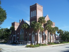 | First United Methodist Church | building | 1994 | 93001457 |
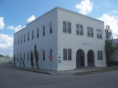 | Grand Army of the Republic Memorial Hall | building | 1997 | 97000097 |
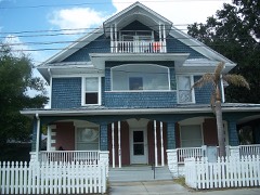 | Kissimmee Historic District | district | 1994 | 93001454 |
 | Monument of States | object | 2015 | 15000862 |
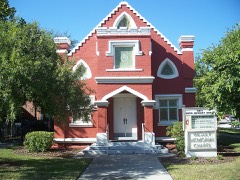 | Old Holy Redeemer Catholic Church | building | 1994 | 93001456 |
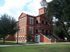 | Osceola County Courthouse | building | 1977 | 77000406 |
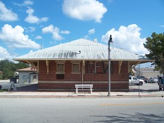 | St. Cloud Depot | building | 2018 | 100002728 |
| St. Cloud Downtown Historic District | district | 2023 | 100009031 | |
 | Veterans Memorial Library and Woman's Club of St. Cloud Auditorium | building | 2020 | 100005413 |
Drawn when these were printed as single large sheets: the town seen from the air, and the county divided into its farms with every owner named. Each opens the original at the Library of Congress.

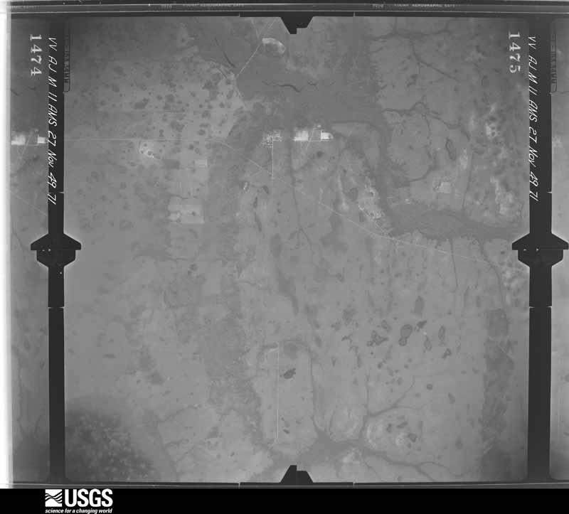
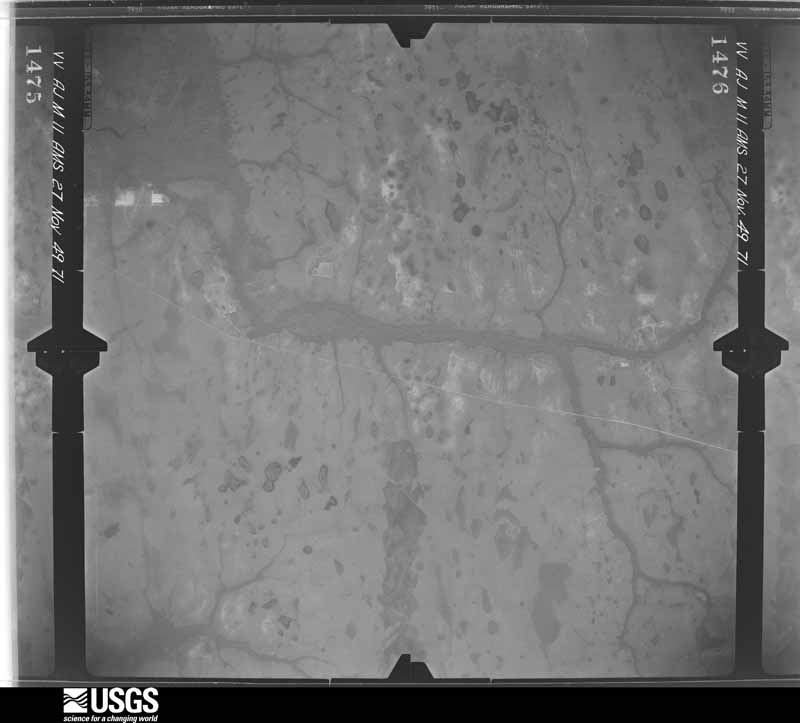
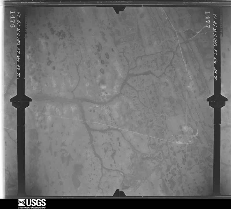
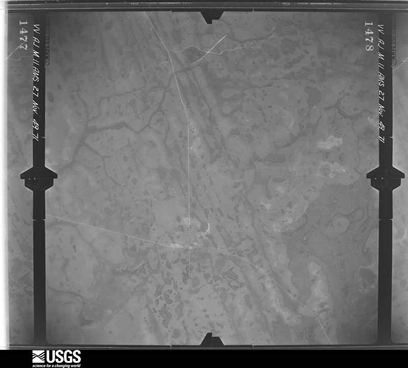
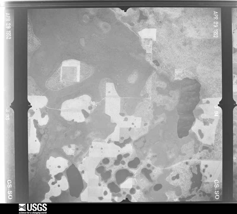
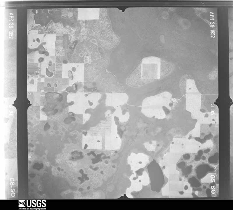
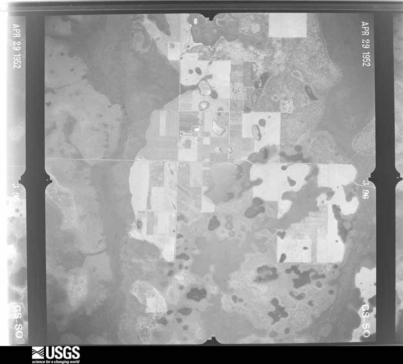
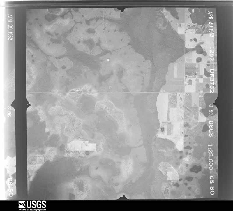
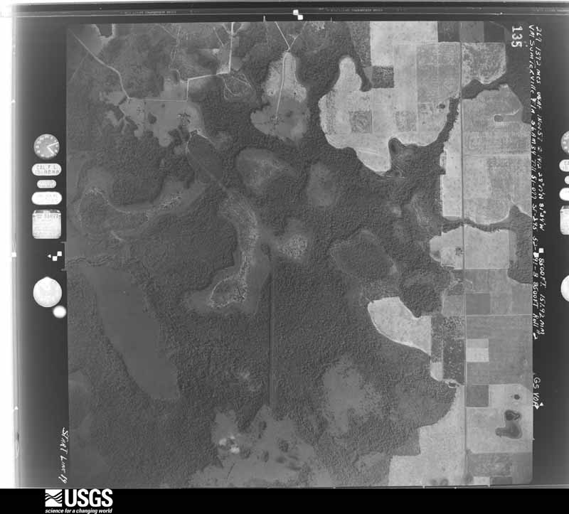
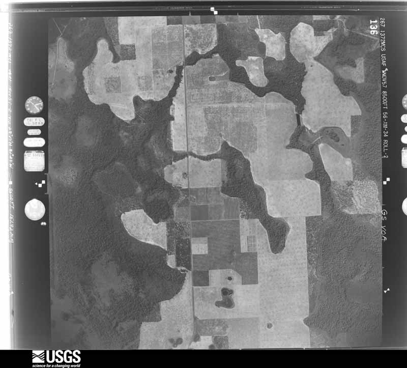
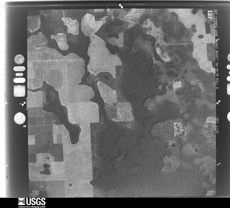
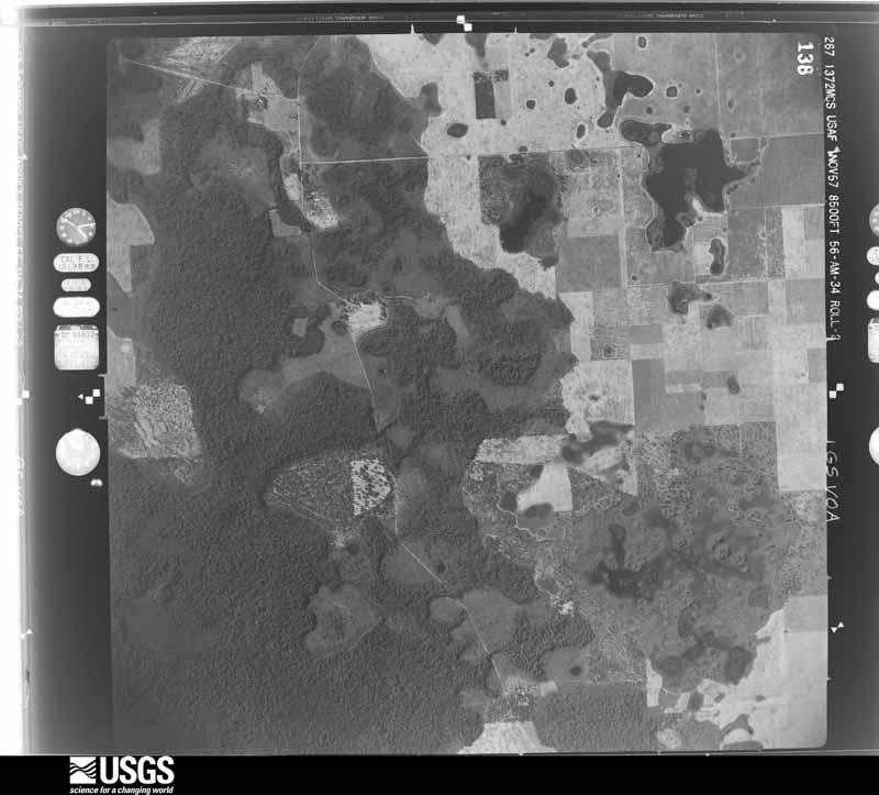
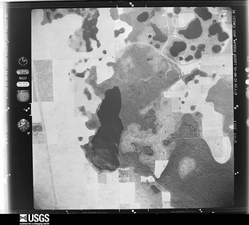
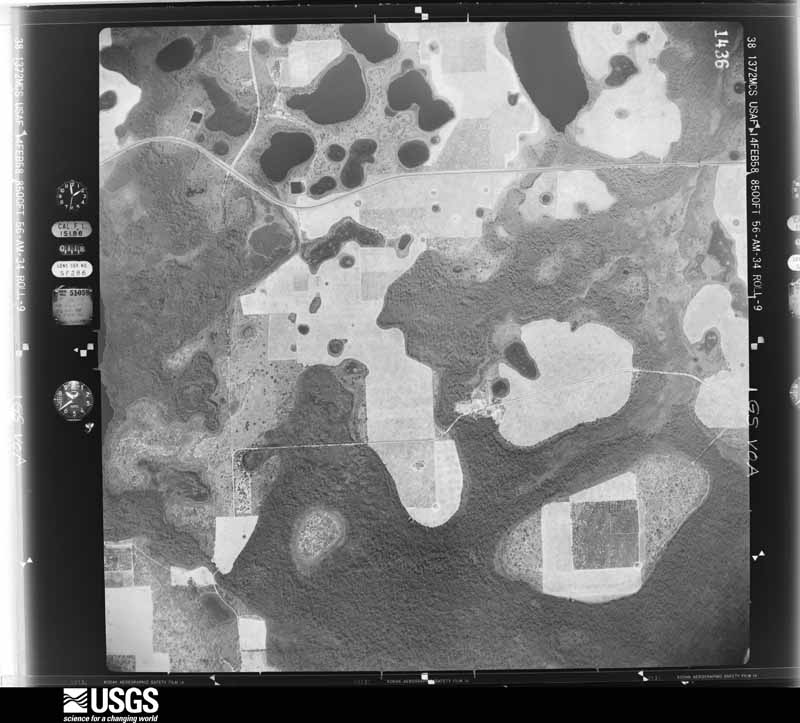
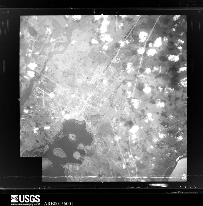
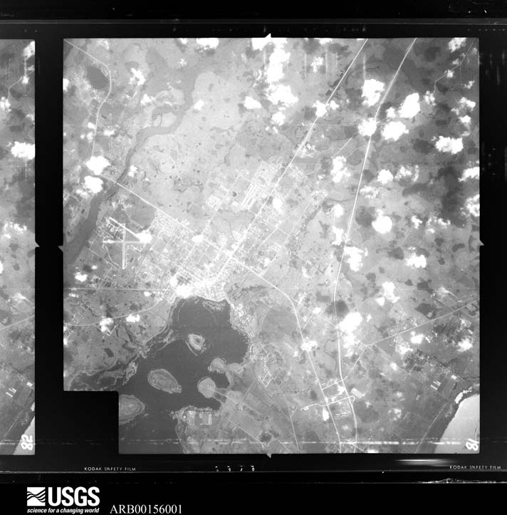
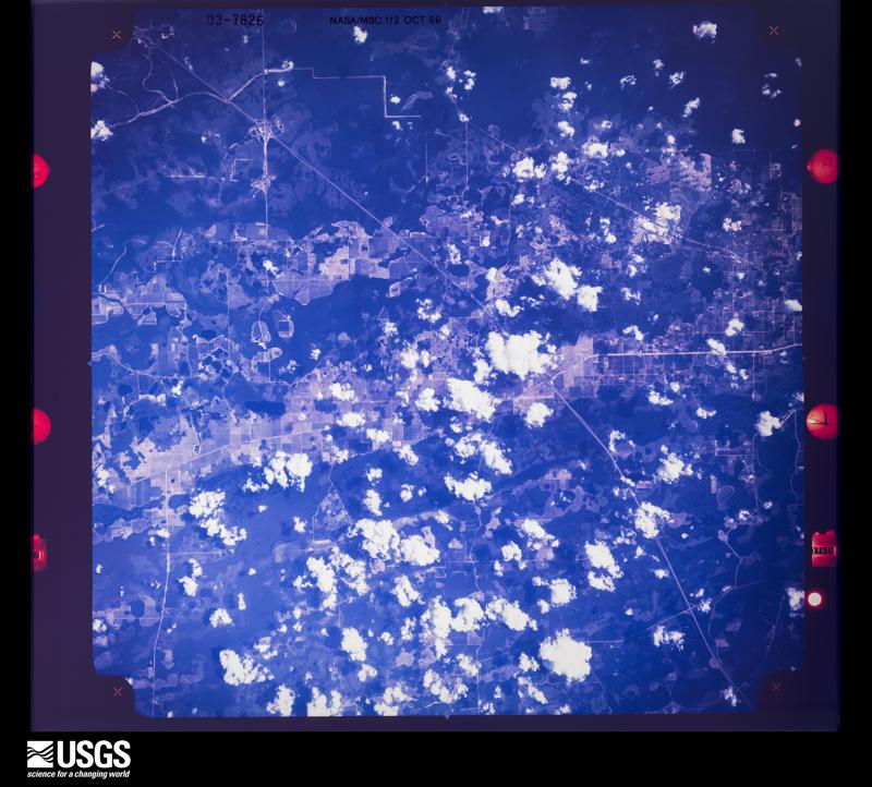
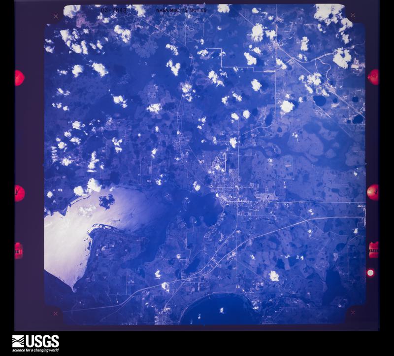
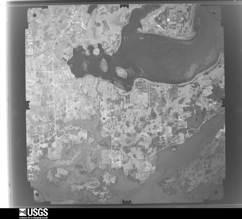
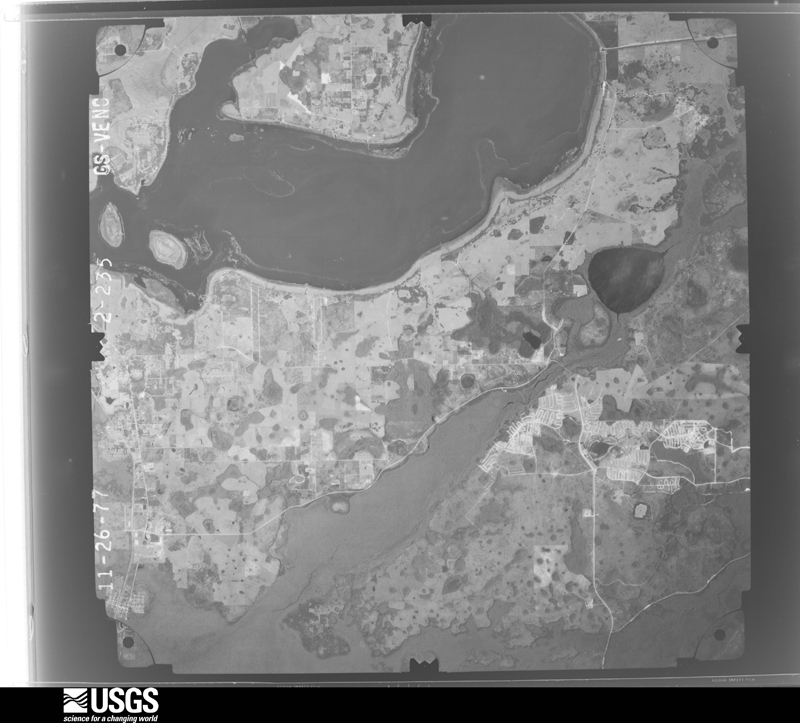
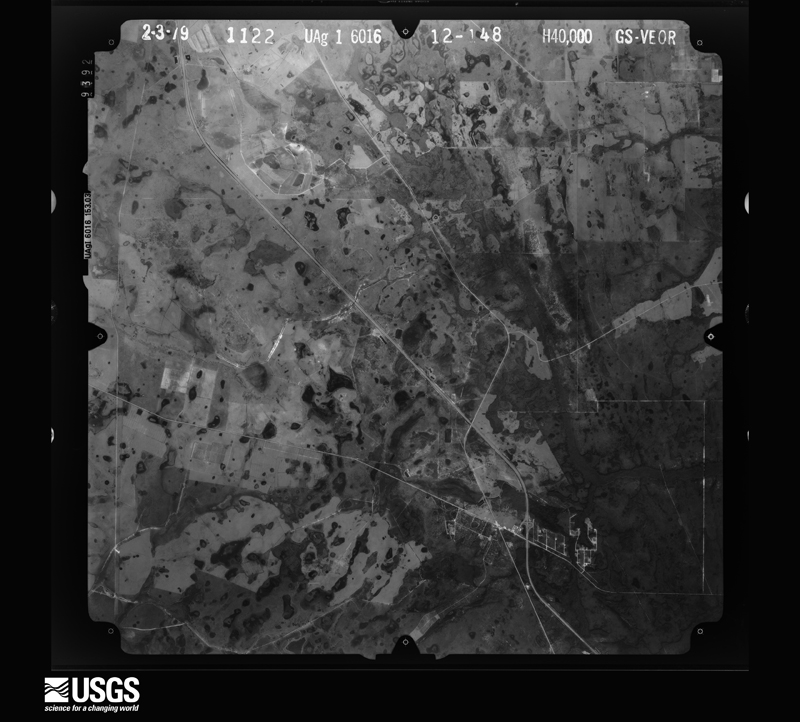
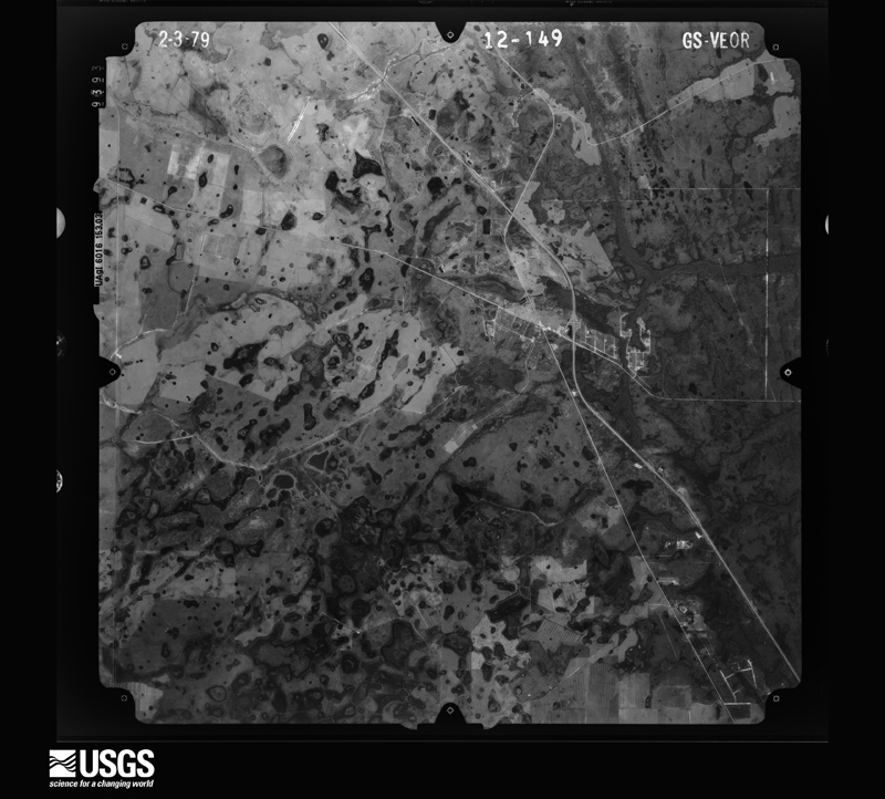
Flown by the U.S. Geological Survey between 1937 and 1989, the Aerial Photo Single Frames collection is the definitive mid-century view of the land: fields, roads and rivers as the camera saw them. The Survey holds 1,039 frames inside the rectangle that bounds this county; the 40 frames below were taken over the county itself, chosen across the decades of flights (at most four a year from that rectangle), so one flight cannot crowd out the rest. The full set is free to browse and download at EarthExplorer under the dataset Aerial Photo Single Frames.




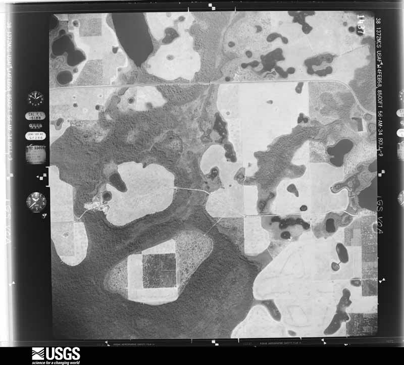
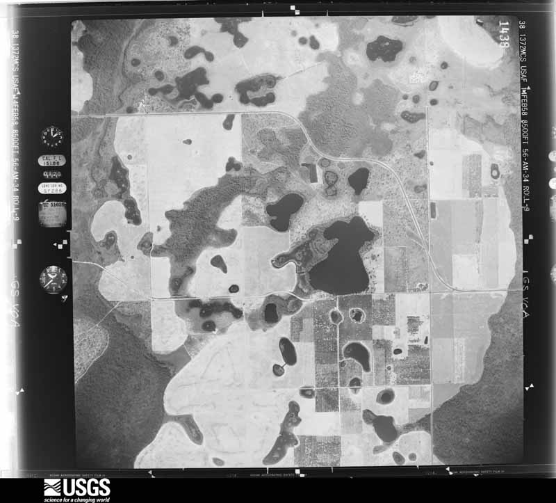
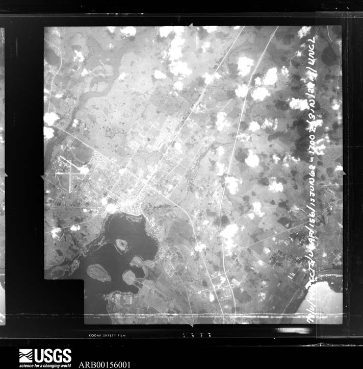
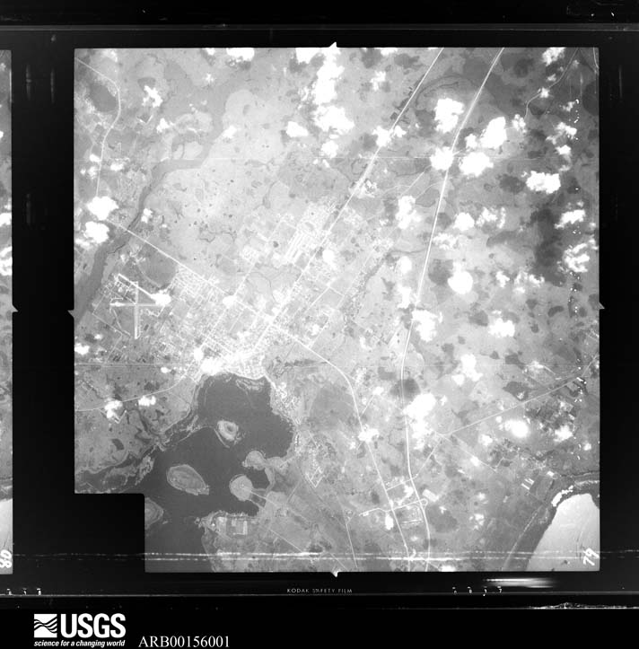
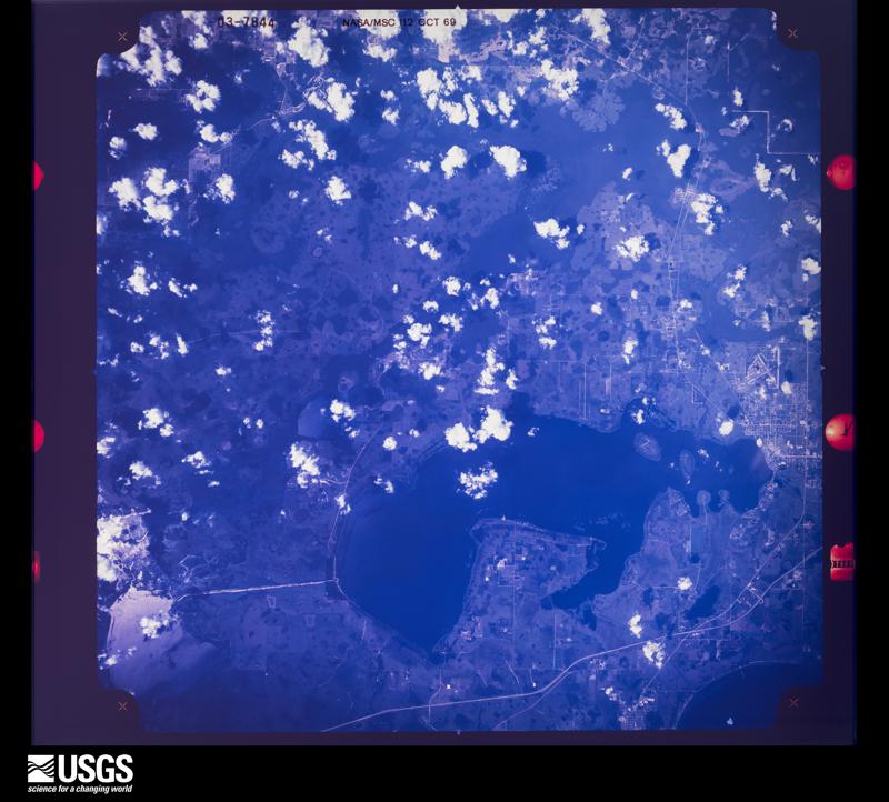

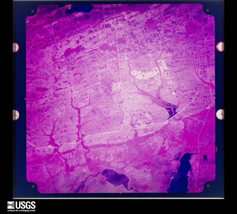



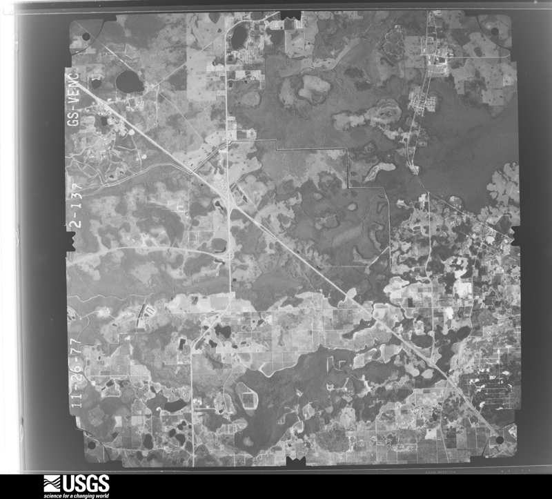
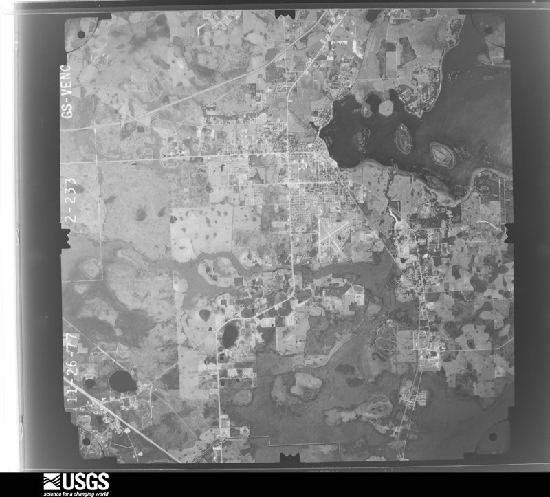
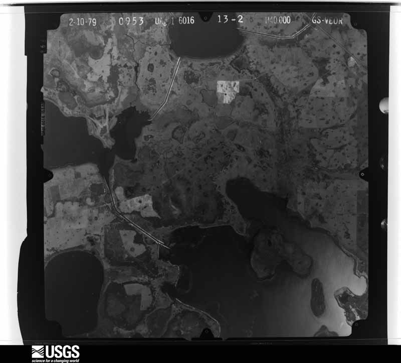
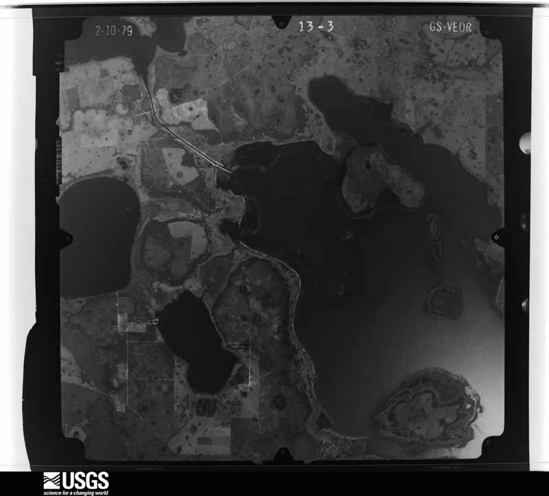
The thermometers that kept this county's weather, and the gages that measured the flow of its streams, as the federal records hold them. The extremes below are measured values from those records, not estimates.
Who lived here in 1950, one enumeration district at a time, as the Census Bureau described each district. Each row opens its official National Archives result, with Population Schedules and ED Maps available there.
Every wildfire the federal occurrence database records inside this county: 1,241 of them, burning about 83,386 acres. 415 started naturally and 181 were recorded as arson. Each settlement page carries the fires within five miles of it.
| Reported cause | Fires |
|---|---|
| Natural | 415 |
| Arson/incendiarism | 181 |
| Equipment and vehicle use | 157 |
| Railroad operations and maintenance | 150 |
| Missing data/not specified/undetermined | 131 |
| Debris and open burning | 127 |
| Misuse of fire by a minor | 39 |
| Recreation and ceremony | 16 |
| Power generation/transmission/distribution | 9 |
| Other causes | 8 |
| Fireworks | 6 |
| Smoking | 2 |
The five largest, by the area the report gives. One of them was set deliberately.
| Date | Cause | Size | Reported by | Name on the report |
|---|---|---|---|---|
| 30 June 1998 | Natural | 7,000 acres | Florida Forest Service | not named |
| 15 February 2001 | Railroad operations and maintenance | 3,900 acres | Florida Forest Service | FLICKA |
| 10 February 2001 | Equipment and vehicle use | 1,637 acres | Florida Forest Service | COBB MARSH |
| 6 May 2006 | Arson/incendiarism | 1,585 acres | Florida Forest Service | BIG BEND (6) |
| 24 May 2007 | Equipment and vehicle use | 1,578 acres | Florida Forest Service | LAKE CYPRESS (06) |
| 27 May 2011 | Missing data/not specified/undetermined | 1,520 acres | Florida Forest Service | STAG HORN |
| 26 January 2009 | Debris and open burning | 1,500 acres | Florida Forest Service | MARTIN FIRE |
| 5 May 2000 | Natural | 1,500 acres | Florida Forest Service | MICROWAVE |
Every settlement page carries the fires within five miles of it - see the settlement index below.
The NOAA Storm Events Database holds 277 reports for this county, causing 26 deaths, 172 injuries and about $361,694,810 in recorded property damage. Each settlement page carries the reports that name it.
| Kind of event | Reports |
|---|---|
| Thunderstorm Wind | 102 |
| Hail | 92 |
| Tornado | 43 |
| Flash Flood | 13 |
| Funnel Cloud | 12 |
| Flood | 8 |
| Heavy Rain | 4 |
| Lightning | 3 |
The most serious of them, by death, then injury, then recorded damage. The accounts are quoted exactly as the forecast office filed them.
| When | Event | Place named | Harm | What the report says |
|---|---|---|---|---|
| February 1998 | Tornado (F3) | Intercession City | 25 killed, 145 hurt, $50,000,000 | The deadliest tornado of the outbreak was a category F3 that touched down initially one mile south of Intercession City. The tornado moved northeast at 45 mph and ripped through the town of Kissimmee killing 25 people. The hardest hit areas were the Morningside Acres mobile home community and the Ponderosa Recreational Vehicle Park. In all eight people were killed in recreational vehicles, fifteen in mobile homes and one in an automobile. The tornado continued northeast and moved into Orange County six miles north of St. Cloud. One hundred and fifty people were injured and over 1000 structures were damaged or destroyed. |
| September 2022 | Flood | Alligator Lake City | 1 killed, $245,000,000 | Rainfall totals averaging between 8 to 12 inches, with locally higher amounts of up to 16 inches were reported, resulting in widespread street, urban, and poor drainage flooding. Numerous roadways were impacted by significant levels of standing water and many retention ponds reached capacity or overflowed. Notable flooding occurred in communities adjacent to Lake Center and Runnymede Lake in St. Cloud, as well as Mill Slough and Boggy Creek in Kissimmee. A NWS Flood Survey, combined with areal photography, confirmed historic flooding along Shingle Creek and within Good Samaritan Village in Kissimmee. Shingle Creek reached a record crest of 64.21 ft. on Oct. 1. A 71-year-old was discovered drowned face down in a foot of water in his home in the Good Samaritan Village in Kissimmee on Oct. 5 (direct).||A damage assessment report from the county indicated 4226 structures affected, 2474 with minor damage, 1733 with major damage, and 5 destroyed. The combined effects of Ian led to total estimated damages of approximately $245M across, mainly due to widespread and historic flooding. |
| March 1981 | Tornado (F2) | not stated | 11 hurt, $250,000 | no account filed |
| January 1973 | Tornado (F2) | not stated | 7 hurt, $2,500,000 | no account filed |
| September 1987 | Tornado (F1) | not stated | 3 hurt, $250,000 | no account filed |
| May 1978 | Tornado (F0) | not stated | 1 hurt, $25,000 | no account filed |
| April 1961 | Tornado (F1) | not stated | 1 hurt, $25,000 | no account filed |
| June 1960 | Tornado (F1) | not stated | 1 hurt, $2,500 | no account filed |
| June 1997 | Lightning | Kissimmee | 1 hurt | An Osceola County deputy sheriff was struck and injured by lightning while standing on a sidewalk. |
| April 1991 | Thunderstorm Wind | not stated | 1 hurt | no account filed |
| April 1991 | Thunderstorm Wind | not stated | 1 hurt | no account filed |
| March 1983 | Tornado (F2) | not stated | $25,000,000 | no account filed |
| April 1966 | Tornado (F4) | not stated | $25,000,000 | no account filed |
| July 2009 | Flood | Kissimmee | $4,000,000 | A small area of very heavy rain produced 4-5 inches in less than 2 hours which resulted in a rapid accumulation of deep water. One hundred and nine homes were flooded, with 16 receiving major damage. The most significant flooding affected about a 20 square block area. The flooding of the homes was likely due in part to the lack of a modern storm water management system and some storm drain blockages. |
| April 2014 | Lightning | Shingle Creek | $3,500,000 | A new, 24-unit apartment building within the Evander Square Apartment Complex in the town of Celebration was destroyed by a fire after being struck by lightning. |
| December 1997 | Tornado (F1) | St Cloud | $1,500,000 | A weak F1 tornado moving northeast over Lake Tohopekaliga touched down in the Kissimmee Park community southwest of St. Cloud. The tornado destroyed 4 mobile homes and damaged 10 other structures. |
| April 1996 | Tornado (F0) | Holopaw | $1,000,000 | no account filed |
| October 2024 | Flood | Cypress Lake | $800,000 | Osceola County Emergency Management reported street, and low-lying flooding as a result of 6 to 10 of rain in the Kissimmee, Poinciana, and Celebration area. A period of very heavy rainfall rates associated with the core of the storm led to flash flooding during the overnight period (Oct 9 - 10). |
| December 1997 | Flash Flood | St Cloud | $400,000 | Heavy rains that followed a month of wet weather produced flash flooding in a mobile home park in St. Cloud. Seventeen mobile homes were flooded. |
| August 1997 | Lightning | St Cloud | $260,000 | Lightning produced a fire that destroyed a house. |
| March 1983 | Tornado (F1) | not stated | $250,000 | no account filed |
| January 1977 | Tornado (F1) | not stated | $250,000 | no account filed |
| October 2005 | Flash Flood | St Cloud | $200,000 | Radar rainfall estimates from Hurricane Wilma show about 10 inches of rain across north and northwest Osceola County. Twelve homes were flooded in St. Cloud. |
| July 1997 | Tornado (F1) | Kissimmee | $200,000 | A small tornado touched down in Kissimmee at the north end of West Lake Toho. The tornado moved east severly damaging 5 homes and producing minor damage to 5 others. |
| August 1995 | Tornado (F1) | St. Cloud | $150,000 | A small F1 tornado touched down about two miles north of Highway 192 along Highway 532 near Lake Lizzie. The tornado produced a long swath of damage through a wooded area. A house was destroyed when it was hit by a falling tree. Two horses were killed. |
| August 2003 | Flash Flood | Kissimmee | $120,000 | A chronic slow rise in ditch and pond water levels over the previous weeks culminated with about four inches of rain and the flooding of 35 homes in the Kissimmee and St. Cloud communities. |
| October 2024 | Tornado (EF1) | Kenansville | $100,000 | Based on KMLB dual-polarimetric radar, the tornado began nearly 5.5 miles northeast of Kenansville and remained on the ground as it moved north over unpopulated portions of Osceola County. The tornado intersected portions of the Deseret and Escondido ranches where numerous pine and oak trees were both snapped and uprooted. Additionally, a well-constructed barn on the Escondido Ranch was destroyed. Based on radar data, the tornado likely peaked in intensity as it was moving through this area with peak winds of up to 100 mph. ||An additional report of the tornado came from a public video along US-192 some 5.5 miles east of Holopaw at around 3:53 PM. At this location, a rain-wrapped tornado can be seen crossing the highway. In this video, limbs were seen falling from the trees and lightweight debris was seen flying through the air. Based on this limited accounting, the tornado had likely weakened to an EF-0 with peak winds of 60 to 65 mph. Radar analysis indicates the tornado curved westward north of US-192 before dissipating north of Holopaw. |
| May 2002 | Flash Flood | Kissimmee | $100,000 | As heavy rain continued over Osceola County, many roads became unpassable and a few homes were flooded in Kissimmee. |
| January 1998 | Flash Flood | Kissimmee | $100,000 | Heavy rains from December through January produced flooding in low lying area of northern Osceola County. Eight mobile homes in a park received minor flooding. Most of the park was evacuated. |
| February 1998 | Thunderstorm Wind | St Cloud | $80,000 | Thunderstorm winds blew down trees and damaged mobile homes in the St. Cloud and Narcoosee areas. |
| January 1999 | Thunderstorm Wind | St Cloud | $70,000 | Thunderstorm winds blew down trees and power lines near St. Cloud and overturned a motor home. |
| March 1998 | Tornado (F0) | Kissimmee | $70,000 | A category F2 tornado touched down briefly in the western part of Kissimmee producing minor damage to about 40 mobile homes. Most of the damage was to carports and awnings. |
| December 1997 | Flash Flood | Kissimmee | $60,000 | Heavy rains of 6 to 11 inches in northern Osceola County flooded 30 roads and 2 homes near Kissimmee, St. Cloud and Poinciana. |
| March 2016 | Hail | Intercession City | $50,000 | A long lasting severe thunderstorm moved from Polk County into northwest Osceola County and dropped hail between quarter and golf ball size for over 10 minutes. The hail piled up to over a foot deep at the peak of the storm in portions of Poinciana. Some hail damage occurred to the siding of homes, pool screens, recreational vehicles and cars. |
| June 2012 | Thunderstorm Wind | Shingle Creek | $50,000 | Several homes in the Indian Ridge Subdivision near Indian River Trail North in Kissimmee were impacted by high winds as a linear squall line associated with an outer rain band of Tropical Storm Debby (located over the northeast Gulf of Mexico) passed the area. One awning was ripped from a home and several small trees were downed. Three adjacent homes experienced significant damage to pool screen enclosures, and several other homes had minor damage to pool screen enclosures. |
| April 1997 | Thunderstorm Wind | Kissimmee | $25,000 | Strong thunderstorm winds blew trees on to a mobile home, and destroyed a service station canopy. |
| April 1997 | Thunderstorm Wind | Kissimmee | $25,000 | Strong thunderstorm winds blew trees on to a mobile home, and destroyed a service station canopy. |
| February 1977 | Tornado (F0) | not stated | $25,000 | no account filed |
| May 1976 | Tornado (F0) | not stated | $25,000 | no account filed |
| May 1975 | Tornado (F1) | not stated | $25,000 | no account filed |
| July 2017 | Tornado (EF0) | Kissimmee | $20,000 | Numerous residents within the Buena Ventura Lakes region of Kissimmee observed a funnel cloud approach from the southwest and become a tornado as it traveled through two adjacent subdivisions for less than 0.75 miles. Eyewitnesses described swirling debris at the surface and swirling water within an adjacent lake, with a visible funnel farther aloft to the cloud base. Several single family homes sustained minor damage, consisting of several removed shingles, and damage to carports and pool screen enclosures. A large mango tree fell onto one home resulting in roof damage. The tornado path and intensity (EF-0, winds estimated at 60-70 mph) were determined after examining damage photos from Osceola County Emergency Management and the Orlando news media and interviewing several eyewitnesses. DI2, DOD1, EXP; DI2, DOD2, LB-EXP. |
| October 2011 | Flood | Lake Marion | $20,000 | Heavy rainfall associated with training cells over several hours produced 5 to 10 inches across much of Osceola County. Heavy rainfall caused a stream extending from Lake Marian to flow over a roadway at the intersection of Lake Marian Road and Peavine Trail in rural southeastern Osceola County, resulting in a washout of the roadway. Other roadways were closed in St. Cloud due to high levels of standing water. Three day rainfall totals ending at 0600 EST October 10 reached as high as 16.79 inches at a cooperative observer site 8 miles west of Yeehaw Junction (YEHF1). |
| August 2012 | Tornado (EF0) | Narcoosee | $15,000 | An EF-0 tornado, with winds estimated near 65 mph, touched down in rural St. Cloud and destroyed an old, abandoned mobile home (floor attachment to the frame was severely rotted), then continued across a wooded lot and open, old citrus groves, causing minor-moderate shingle damage to a block home (house window was broken from debris impact), and minor shrub and fence damage within the yard of a neaby home. Insulation and small debris from the mobile home was carried downstream throughout the distance of the track. DI3 DOD6 Below LB; DI2 DOD1 EXP; DI27 DOD1 EXP. |
| May 2004 | Thunderstorm Wind | St Cloud | $12,000 | A tree blown down by a thunderstorm crushed a mobile home. |
| June 2019 | Thunderstorm Wind | Kissimmee | $10,000 | Severe thunderstorm winds toppled a tree onto a car on Beaumont Avenue in Kissimmee. Nearby, at the same time, a large tree was downed across Sunrail train tracks at the Magnolia Avenue crossing. Several minutes later, and about 5 miles to the north, another tree fell onto a home on Country Boulevard. |
| March 2016 | Thunderstorm Wind | South Port | $10,000 | Public reports indicated roof damage to manufactured homes within the Cypress Cove Nudist Resort in Poinciana. About a mile southwest of Cypress Cove, roofing material lifted off homes, scattered pine trees were downed or leaning significantly and numerous fence panels were scattered about. Some of this debris caused damage to cars. |
| August 2012 | Flood | Yeehaw Jct | $10,000 | Persistent heavy rainbands from Tropical Storm Isaac produced areas of urban and lowland flooding across portions of the county. Rainfall from the morning of August 26 until the evening of August 27 averaged 3 to 6 inches, with isolated higher totals, most of which fell during the morning and afternoon of August 27. The most |significant impacts occurred in St. Cloud and rural locations farther south and east. Several roads were temporarily closed due to standing water. |
| June 2009 | Thunderstorm Wind | St Cloud | $10,000 | Strong thunderstorm winds pushed over a parked semi truck onto a pickup truck. |
| April 2006 | Thunderstorm Wind | St Cloud | $10,000 | Thunderstorm winds damaged 3 large sheds at a landscaping company near Nova Road. |
| August 2005 | Thunderstorm Wind | Kenansville | $10,000 | Thunderstorm winds blew down trees and destroyed a gazebo at a fish camp east of Lake Kissimmee. |
| July 2003 | Thunderstorm Wind | St Cloud | $10,000 | Thunderstorm winds blew down trees, power lines and damaged a shed. |
| March 2000 | Thunderstorm Wind | Kissimmee | $10,000 | Severe thunderstorm winds blew down trees in the Kissimmee area. A car was damaged by falling trees. |
| October 1997 | Thunderstorm Wind | St Cloud | $10,000 | Thunderstorm winds blew down a few trees in St. Cloud. Some trees fell on a house. |
| June 2017 | Thunderstorm Wind | Apoxsee | $5,000 | Osceola County Emergency Management reported that a porch roof was blow off a mobile home on Hines Drive in Yeehaw Junction. The removal of the porch roof resulted in additional damage to the main portion of the home. |
| April 2008 | Thunderstorm Wind | Kissimmee | $5,000 | Thunderstorm winds blew down trees blocking the road on Monument Drive in Kissimmee. |
| June 2008 | Thunderstorm Wind | St Cloud | $5,000 | Local television media reported damage to a restaurant roof in St. Cloud. |
| May 2001 | Thunderstorm Wind | St Cloud | $5,000 | Thunderstorm winds blew down trees and power lines. |
| August 1999 | Thunderstorm Wind | Kissimmee | $5,000 | Thunderstorm winds damaged roofs and blew trees down on buildings in Kissimmee. |
| February 1998 | Hail | Kissimmee | $5,000 | Dime size hail fell in Kissimmee. Minor roof damage to a house was reported. |
| June 2008 | Thunderstorm Wind | St Cloud | $3,000 | Two storage sheds were destroyed on Narcoossee Road in St. Cloud. |
The Survey's mineral resources record lists 2 workings inside this county. None of them still produces: all are closed or unrecorded. Each settlement page carries the workings within five miles of it.
| Commodity | Workings |
|---|---|
| Diatomite | 1 |
| Sand and Gravel, Construction | 1 |
The least common of them first, because a county's hundredth gravel pit says nothing its first ten did not.
| Where | Site | Commodity | Status | Recorded |
|---|---|---|---|---|
| Ten Mile Pit | Sand and Gravel, Construction | Past Producer | ||
| Unnamed Diatomite Prospect | Diatomite | Prospect |
Named settlements recorded in the Geographic Names Information System, each with the topographic sheets covering it. Villages, hamlets and abandoned places alike. Each is shown with the nearest named watercourse or landform and the survey quadrangle it falls on.
Kissimmee census division · 34747 · Intercession City quadrangle
13 sheets, 1953 to 1979
Kissimmee census division · 33896 · Intercession City quadrangle
13 sheets, 1953 to 1979
South and East Osceola census division · 34773 · On Bull Creek · Deer Park quadrangle
12 sheets, 1953 to 1981
Kissimmee census division · 33848 · Near Buckles Bend · Intercession City quadrangle
13 sheets, 1953 to 1979
South and East Osceola census division · 34739 · Kenansville quadrangle
14 sheets, 1953 to 1988
Kissimmee census division · 34741 · On Mill Slough · Kissimmee quadrangle
13 sheets, 1953 to 1979
South and East Osceola census division · 34739 · Lake Marian NE quadrangle
16 sheets, 1953 to 1988
South and East Osceola census division · 34972 · Kenansville SW quadrangle
13 sheets, 1953 to 1988
South and East Osceola census division · 34771 · Narcoossee quadrangle
12 sheets, 1953 to 1979
Kissimmee census division · 34758 · Lake Tohopekaliga quadrangle
12 sheets, 1953 to 1979
Kissimmee census division · 34747 · On Davenport Creek · Intercession City quadrangle
13 sheets, 1953 to 1979
St. Cloud census division · 34769 · Saint Cloud South quadrangle
12 sheets, 1953 to 1979
St. Cloud census division · Saint Cloud North quadrangle
14 sheets, 1953 to 1979
No longer a settlement
South and East Osceola census division · 34739 · Lake Marian SE quadrangle
15 sheets, 1953 to 1988
South and East Osceola census division · 34972 · Fort Drum NW quadrangle
15 sheets, 1953 to 1988
The vanished settlements of Osceola County: the places named above that are no longer on the map.