 Block
BlockArlington, Florida
23 topographic sheets cover this place, the earliest surveyed in 1918 and the latest in 1994. It stands in the Jacksonville East census division. It lies in ZIP code area 32211. It lies near Exchange Island. The Survey maps it on the Arlington quadrangle.
Research this city
Then and now
1918 to 1994The same ground, surveyed 76 years apart. Drag the handle to wipe between them. Both sheets are United States Geological Survey originals; neither has been altered.
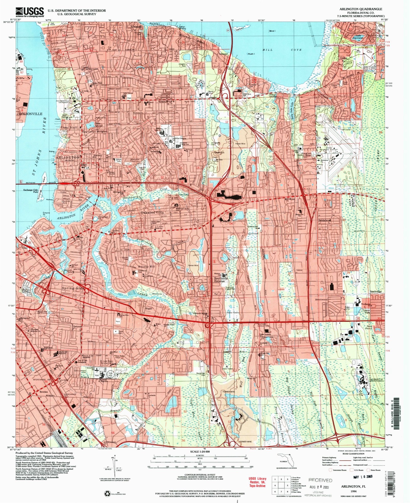
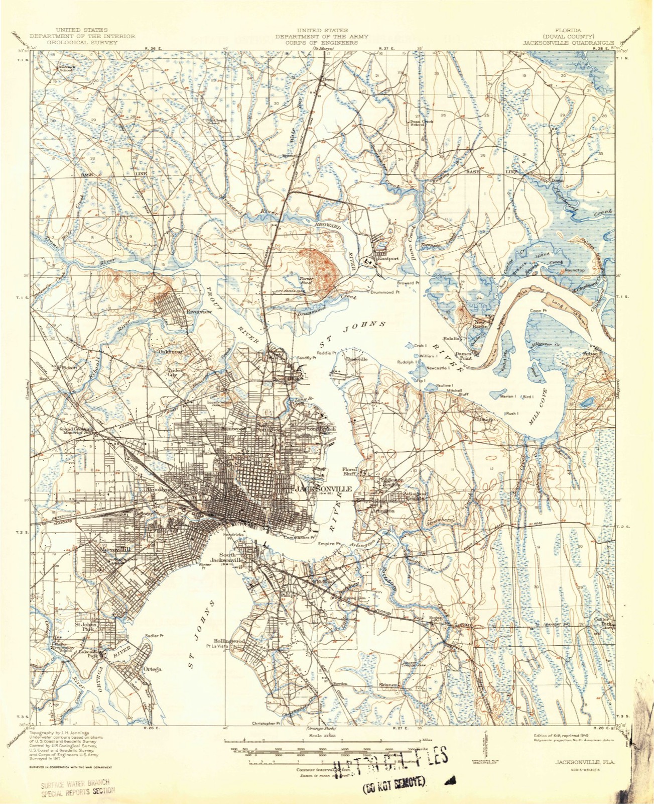
Compare 1918 against another survey:
On record in Arlington
Buildings and businesses the archive holds for this place. Each opens its own page, with the source record it came from.
On the National Register within a mile 2 records
The National Register names another town for these. They stand within one mile of this settlement's coordinate.
- Norman Film Manufacturing CompanyNational Historic Landmark · listed 2016 · 0.6 miles away
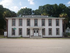 Norman Film Studioslisted 2014 · 0.6 miles away
Topographic sheets covering this place
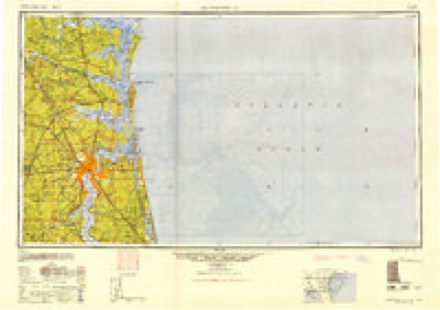
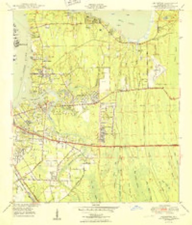
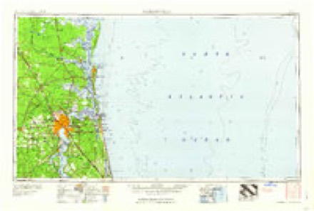
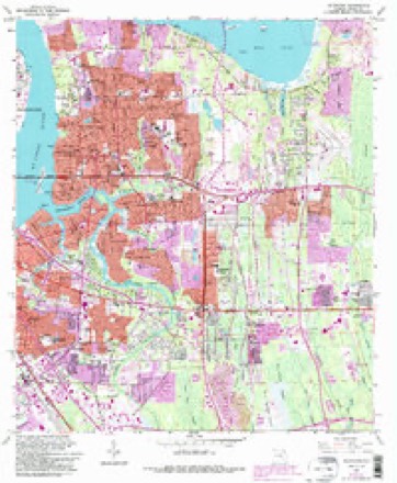
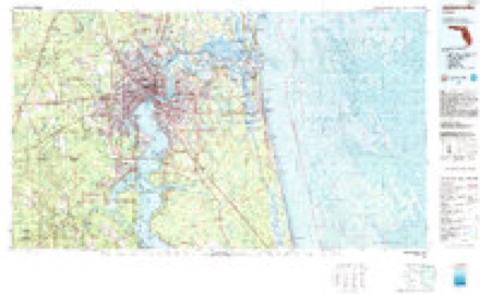
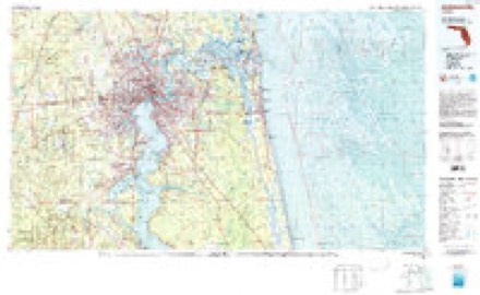
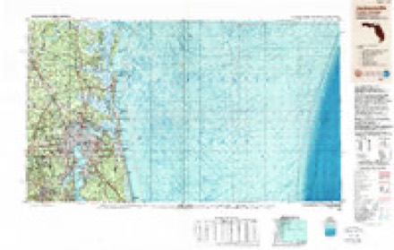
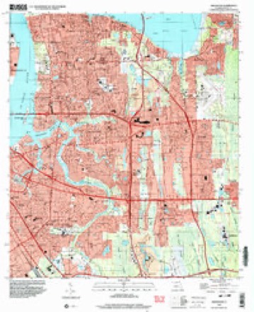
11 surveys from 23 printed sheetsMatched by testing this settlement's coordinate against the published boundary of every sheet in the United States Geological Survey's historical collection. Each opens the scanned sheet at the Survey.
- 1918 USGS Jacksonville quadrangle1:62500, 5 printings
- 1948 USGS Jacksonville quadrangle1:250000
- 1950 USGS Arlington quadrangle1:24000, 2 printings
- 1957 USGS Jacksonville quadrangle1:250000, 3 printings
- 1959 USGS Jacksonville quadrangle1:250000
- 1960 USGS Jacksonville quadrangle1:250000
- 1963 USGS Arlington quadrangle1:24000, 6 printings
- 1977 USGS Jacksonville quadrangle1:100000
- 1980 USGS Jacksonville quadrangle1:100000
- 1988 USGS Jacksonville quadrangle1:250000
- 1994 USGS Arlington quadrangle1:24000
Fires near this place
45 since 1992Regional context, not property-specific evidence. The federal wildfire occurrence database lists 45 fires within 5 miles of Arlington between 1992 and 2017, burning about 191 acres in total. 3 started naturally. 10 were recorded as arson. Distance is straight-line from the map coordinates, so a fire counted here may appear on a neighbouring settlement's page as well.
| Reported cause | Fires |
|---|---|
| Equipment and vehicle use | 19 |
| Arson/incendiarism | 10 |
| Misuse of fire by a minor | 7 |
| Missing data/not specified/undetermined | 4 |
| Natural | 3 |
| Other causes | 1 |
| Railroad operations and maintenance | 1 |
The most recent of them, most recent first, with the day each was reported and the service that recorded it.
| Date | Cause | Size | Reported by | Name on the report |
|---|---|---|---|---|
| 24 September 1993 | Equipment and vehicle use | 12 acres | Florida Forest Service | not named |
| 2 September 2011 | Misuse of fire by a minor | 1.0 acres | Florida Forest Service | SAN DIEGO 2 (16) |
| 3 August 1994 | Misuse of fire by a minor | 1.0 acres | Florida Forest Service | not named |
| 29 August 2011 | Arson/incendiarism | under an acre | Florida Forest Service | SAN DIEGO(16) |
| 17 August 1995 | Equipment and vehicle use | 2.0 acres | Florida Forest Service | not named |
| 29 July 1992 | Equipment and vehicle use | 2.5 acres | Florida Forest Service | not named |
| 18 July 1993 | Natural | under an acre | Florida Forest Service | not named |
| 20 June 2000 | Natural | under an acre | Florida Forest Service | not named |
Settlements close enough to share some of these fires:
Mines and quarries near this place
5 within 5 milesRegional context, not property-specific evidence. The federal mineral resources record lists 5 workings within 5 miles of Arlington: 2 plants, 2 past producers, 1 producer. 3 still produce. What was taken out: Perlite, Titanium-Heavy Minerals, Thorium, Titanium, Zirconium, Titanium, Zirconium. Distance is straight-line from the map coordinates, so a quarry counted here may appear on a neighbouring settlement's page as well.
| Where | Site | Commodity | Status | Recorded |
|---|---|---|---|---|
| A C Skinner Deposit | Thorium, Titanium, Zirconium | Past Producer | ||
| Chemrock/ Jacksonville, Fla. | Perlite | Plant | ||
| Humphries Gold Corp Mine | Titanium, Zirconium | Past Producer | ||
| Jacksonville Placer | Titanium-Heavy Minerals | Producer | Rutile, Zircon, Ilmenite | |
| U S Gypsum/ Jacksonville, Fla. | Gypsum-Anhydrite | Plant |
Storms near this place
60 of 79 shownRegional context, not property-specific evidence. The National Weather Service names Arlington in 79 storm reports between 1996 and 2025: 42 thunderstorm wind, 19 hail, 11 heavy rain, 2 lightning. The reports record 1 injury. Each account below is quoted exactly as the forecast office filed it, from the NOAA Storm Events Database, and each date opens the federal record of that event.
| When | Event | Place named | Harm | What the report says |
|---|---|---|---|---|
| July 2015 | Thunderstorm Wind | Arlington | 1 hurt | A large tree limb fell on a motorcyclist on Cesary Blvd. The time of the event was based on radar imagery. |
| June 2001 | Flash Flood | Arlington | $75,000 | Thirty-three apartments were flooded with up to 3 feet of water. |
| July 1998 | Lightning | Arlington | $60,000 | Five families were evacuated from an apartment complex after a lightning strike. The six units at the third story, cinder block and stucco complex sustained, fire, water and smoke damage. |
| July 2005 | Lightning | Arlington | $50,000 | no account filed |
| April 1997 | Thunderstorm Wind | Arlington | $25,000 | Large tree damaged a house. |
| August 2000 | Thunderstorm Wind | Arlington | $20,000 | House damaged. |
| April 1997 | Thunderstorm Wind | Arlington | $15,000 | Large trees and power lines were blown down...trees fell on two homes in Arlington. |
| June 1999 | Thunderstorm Wind | Arlington | $5,500 | Large trees and power lines were blown down. |
| July 1999 | Thunderstorm Wind | Arlington | $5,000 | Large trees and power lines were blown down. |
| July 2013 | Flood | Arlington | $3,000 | Significant flooding of several apartments occurred at 5350 Arlington Expressway in the Summer Oaks Apartments. The family escaped through a window in the apartment. The cost of damage was unknown and estimated for inclusion of the event in StormData. |
| June 1998 | Thunderstorm Wind | Arlington | $3,000 | Large trees and power lines were blown down. |
| May 1996 | Thunderstorm Wind | Arlington | $3,000 | no account filed |
| June 2001 | Thunderstorm Wind | Arlington | $2,500 | Large trees and power lines were blown down. |
| June 2001 | Thunderstorm Wind | Arlington | $2,500 | Large trees and power lines were blown down. |
| July 1998 | Thunderstorm Wind | Arlington | $2,500 | Large trees were blown down near the Regency Mall. |
| August 2020 | Thunderstorm Wind | Arlington | $2,000 | Trees were blown down onto power lines at the intersection of Arlington Road and Whitlock Avenue. The time of damage was based on radar. Observations just west of this location had measured winds of 49-53 mph. The cost of damage was estimated. |
| July 2002 | Thunderstorm Wind | Arlington | $2,000 | Large limbs and power lines down, 5268 Arlington Drive. |
| March 2001 | Thunderstorm Wind | Arlington | $2,000 | Large trees were blown down. |
| July 1997 | Thunderstorm Wind | Arlington | $2,000 | Large trees and power lines were blown down. |
| August 2000 | Thunderstorm Wind | Arlington | $1,500 | Large trees and power lines were blown down. |
| August 1998 | Thunderstorm Wind | Arlington | $1,500 | Large trees and power lines were blown down at the corner of St. Johns Bluff Rd. and Lone Pine Rd. |
| June 2015 | Thunderstorm Wind | Arlington | $1,000 | Power lines were down off of Boulevard Center Drive. The time was estimated by radar. The cost of damage was unknown, but it was estimated for the event to be included in Storm Data. |
| July 2025 | Thunderstorm Wind | Arlington | - | Local broadcast media shared images of a large pine tree blown down at a property along Old Hickory Road, adjacent to Bishop Kenny High School. The tree fell down and damaged a fence and other trees in the area. The time of damage was approximated based on radar. |
| August 2025 | Thunderstorm Wind | Arlington | - | County dispatch reported a tree was blown down onto a power line at North Arlington Road and Arlington Expressway. The time of damage was based on radar data. |
| July 2025 | Heavy Rain | Arlington | - | Personal weather station St Nicholas - KFLJACKS4522, received 2.64 inches of rain during the past hour. |
| September 2024 | Heavy Rain | Arlington | - | A personal weather station St Nicholas - | KFLJACKS4522 measured 5.85 inches of rain. | Rain began at 215 AM. About 4 inches of rain | fell between 650 AM and 9 AM. |
| April 2022 | Thunderstorm Wind | Arlington | - | A large tree was blown down across the road. |
| July 2022 | Flood | Arlington | - | Street flooding on the on ramp of the Hart bridge in Jacksonville with a vehicle stalled in the flood water. About 2 to 3 inches of rain had fallen. A flood warning was in effect. |
| June 2021 | Thunderstorm Wind | Arlington | - | A tree was blown down along Galewind Lane and blocked a residence in Arlington. The time of damage was based on radar. |
| July 2021 | Heavy Rain | Arlington | - | Storm total rainfall of 2.64 inches was measured off of Cesery Blvd, just north of Terry Parker Drive South in Arlington. Most of the rainfall occurred between 4-5 pm EDT. |
| June 2021 | Heavy Rain | Arlington | - | A Weather Underground site reported 3.34 inches in the past 2 hours. |
| May 2019 | Hail | Arlington | - | Nickel size hail was reported over the Arlington Expressway. |
| April 2018 | Thunderstorm Wind | Arlington | - | A large tree was uprooted and blown down onto car. The time of damage was based on radar. |
| May 2016 | Thunderstorm Wind | Arlington | - | A couple of trees were blown down. |
| July 2016 | Hail | Arlington | - | Golfball size hail was reported along Emerson Street in Jacksonville. |
| July 2016 | Hail | Arlington | - | Social media post of quarter size hail at the intersection of Beach Blvd and Emerson. |
| August 2015 | Thunderstorm Wind | Arlington | - | A tree branch was blown onto a moving vehicle at North Terry Parker Drive and Cesary Blvd. |
| August 2015 | Thunderstorm Wind | Arlington | - | A tree was blown down onto a home off of Underhill Drive. |
| January 2014 | Hail | Arlington | - | Quarter size hail was reported near the corner of Atlantic Blvd and University Blvd. Wind gusts of 50 mph were also reported with tree branches blown down. |
| May 2014 | Hail | Arlington | - | Quarter to pea size hail was reported. |
| June 2014 | Hail | Arlington | - | Dime size hail was reported along Cesery Blvd. |
| November 2014 | Thunderstorm Wind | Arlington | - | Trees were twisted and downed at Holly and Weller Avenues. |
| August 2013 | Heavy Rain | Arlington | - | The public measured 2.5 inches of rainfall in Arlington. |
| August 2013 | Thunderstorm Wind | Arlington | - | A tree was blown down and blocked the road. The time of the damage was based on radar. |
| June 2013 | Thunderstorm Wind | Arlington | - | Numerous trees and power lines were blown down in Arlington. |
| June 2013 | Heavy Rain | Arlington | - | Street flooding was reported in Arlington on Free Avenue, Galveston Ave, and Dandee Ave. Lawn debris was flowing out of yards and into the streets. The water was ankle deep in some areas. |
| April 2012 | Thunderstorm Wind | Arlington | - | A tree was blown down on Shadowood Lane. Time was based on radar. |
| June 2011 | Thunderstorm Wind | Arlington | - | Power lines were blown down along Arlington Road at Lillian Road. |
| July 2009 | Hail | Arlington | - | Nickel size hail covered the ground at Atlantic Boulevard and University Boulevard. |
| July 2009 | Hail | Arlington | - | Pea to nickel size hail fell along Monument Road. |
| June 2009 | Thunderstorm Wind | Arlington | - | Numerous power lines were blown down in Springfield and Arlington. |
| September 2007 | Heavy Rain | Arlington | - | A trained spotter who was part of a local mesonet reported 4.18 inches of rainfall since midnight. The location was just west of the Phillips Highway and Saint Augustine Road interchange. |
| September 2007 | Heavy Rain | Arlington | - | At 11:00 EST, a trained spotter reported 3 to 6 inches of water on road at the Five Points intersection and 8 to 10 inches at Stockton Road and Interstate 10. A second spotter reported water up to mid point of tires at the intersection of Century 21 Street and Bowden Road. |
| January 2006 | Heavy Rain | Arlington | - | Poor drainage flooding at Lonestar and Rogero Rds. Spotter reported 2 to 3 feet of water in the intersection. |
| July 2002 | Thunderstorm Wind | Arlington | - | Pine trees down on Girvin Rd. |
| July 1997 | Thunderstorm Wind | Arlington | - | Large limbs were blown down. |
| July 2006 | Heavy Rain | Arlington | - | no account filed |
| September 2006 | Funnel Cloud | Arlington | - | no account filed |
| March 2005 | Hail | Arlington | - | no account filed |
| March 2005 | Hail | Arlington | - | no account filed |
Nearest settlements
The eight closest, with where each one stands in the county. Distances are straight-line, computed from the Geographic Names Information System coordinates.
| Map | Place | Distance | Sheets |
|---|---|---|---|
| Eggleston Heights | 0.4 miles | 23 | |
| Floral Bluff | 0.6 miles | 23 | |
| Oakwood Villa | 1.8 miles | 23 | |
| Talleyrand | 2.3 miles | 21 | |
| Holiday Hill | 2.5 miles | 23 | |
| Newcastle | 2.7 miles | 23 | |
| Saint Nicholas | 2.7 miles | 21 | |
| Spring Glen | 2.7 miles | 23 |
Provenance
This settlement is recorded in the Geographic Names Information System as feature 277949. The sheet list is computed by point-in-boundary test against the United States Geological Survey's historical topographic inventory. Both are works of the United States government and carry no copyright under 17 U.S.C. 105.
Wildfire. Short, Karen C. 2022. Spatial wildfire occurrence data for the United States, 1992-2020 [FPA_FOD_20221014]. 6th Edition. Fort Collins, CO: Forest Service Research Data Archive. https://doi.org/10.2737/RDS-2013-0009.6 Collected with United States Government funding and usable without additional permissions or fees.
Mines and quarries. USGS Mineral Resources Data System (MRDS) https://mrdata.usgs.gov/mrds/ A work of the United States government, no copyright under 17 U.S.C. 105.
Storms. NOAA National Centers for Environmental Information, Storm Events Database https://www.ncei.noaa.gov/stormevents/ A work of the United States government, no copyright under 17 U.S.C. 105. Narratives are quoted verbatim from the National Weather Service report and are not edited or summarised.