 Block
BlockBonaventure, Florida
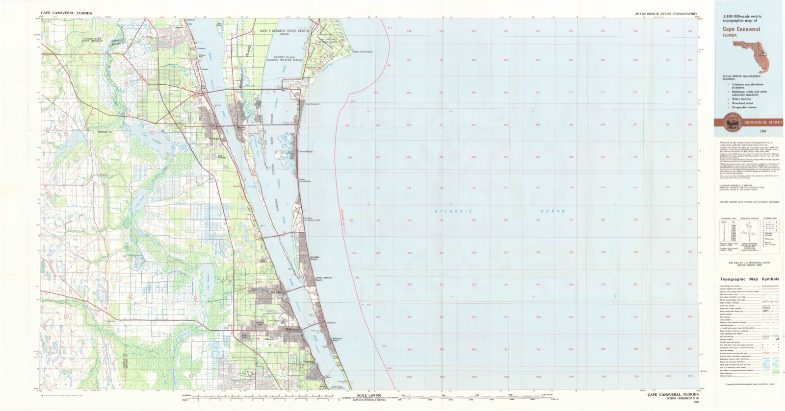
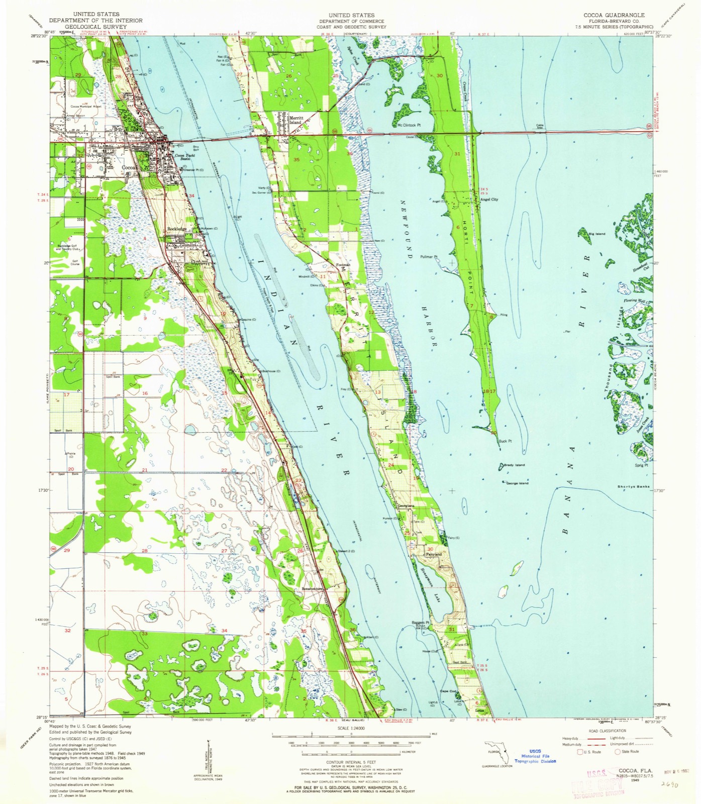
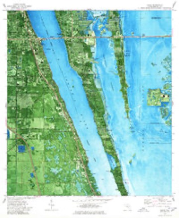
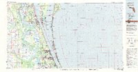
12 topographic sheets cover this place, the earliest surveyed in 1949 and the latest in 1981. It stands in the Cocoa-Rockledge census division. It lies in ZIP code area 32955. It lies near Honeymoon Hill. The Survey maps it on the Cocoa quadrangle.
Then and now
1949 to 1981The same ground, surveyed 32 years apart. Drag the handle to wipe between them. Both sheets are United States Geological Survey originals; neither has been altered.
Topographic sheets covering this place
8 surveys from 12 printed sheetsMatched by testing this settlement's coordinate against the published boundary of every sheet in the United States Geological Survey's historical collection. Each opens the scanned sheet at the Survey.
- 1949 USGS Cocoa quadrangle1:24000, 2 printings
- 1951 USGS Cocoa quadrangle1:24000
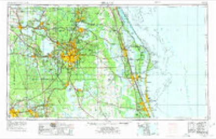
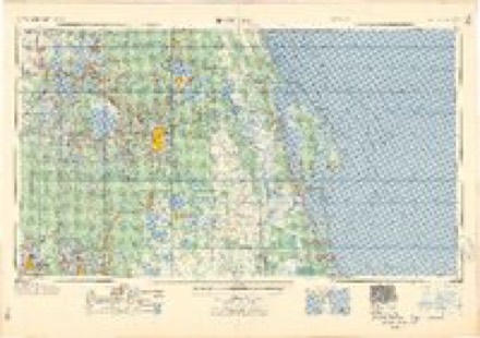
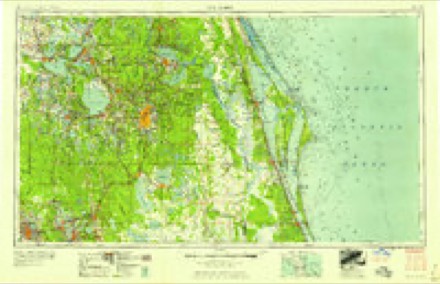
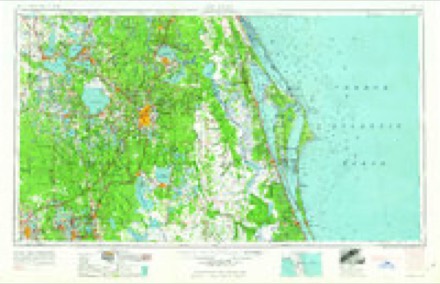
- 1955 USGS Orlando quadrangle1:250000, 3 printings
- 1957 USGS Orlando quadrangle1:250000
- 1958 USGS Orlando quadrangle1:250000
- 1962 USGS Orlando quadrangle1:250000
- 1976 USGS Cocoa quadrangle1:24000, 2 printings
- 1981 USGS Cape Canaveral quadrangle1:100000
Fires near this place
104 since 1992Regional context, not property-specific evidence. The federal wildfire occurrence database lists 104 fires within 5 miles of Bonaventure between 1992 and 2020, burning about 1,060 acres in total. 26 started naturally. 6 were recorded as arson. Distance is straight-line from the map coordinates, so a fire counted here may appear on a neighbouring settlement's page as well.
| Reported cause | Fires |
|---|---|
| Equipment and vehicle use | 28 |
| Natural | 26 |
| Railroad operations and maintenance | 15 |
| Misuse of fire by a minor | 13 |
| Missing data/not specified/undetermined | 12 |
| Arson/incendiarism | 6 |
| Recreation and ceremony | 2 |
| Debris and open burning | 2 |
The most recent of them, most recent first, with the day each was reported and the service that recorded it.
| Date | Cause | Size | Reported by | Name on the report |
|---|---|---|---|---|
| 8 September 1996 | Misuse of fire by a minor | under an acre | Florida Forest Service | not named |
| 3 September 1998 | Natural | under an acre | Florida Forest Service | not named |
| 25 September 1995 | Equipment and vehicle use | under an acre | Florida Forest Service | not named |
| 24 September 1993 | Railroad operations and maintenance | 4.0 acres | Florida Forest Service | not named |
| 21 September 1995 | Equipment and vehicle use | 1.0 acres | Florida Forest Service | not named |
| 1 September 2007 | Natural | under an acre | Florida Forest Service | HERON'S (05) |
| 1 September 2000 | Natural | under an acre | Florida Forest Service | not named |
| 1 September 1993 | Missing data/not specified/undetermined | 35 acres | Florida Forest Service | not named |
Settlements close enough to share some of these fires:
Mines and quarries near this place
2 within 5 milesRegional context, not property-specific evidence. The federal mineral resources record lists 2 workings within 5 miles of Bonaventure: 2 producers. All of them still produce. What was taken out: Stone, Crushed/Broken, Limestone, General. Distance is straight-line from the map coordinates, so a quarry counted here may appear on a neighbouring settlement's page as well.
| Where | Site | Commodity | Status | Recorded |
|---|---|---|---|---|
| Brevard Road Materials, Inc. | Limestone, General | Producer | Limestone | |
| Rockledge Mine | Stone, Crushed/Broken | Producer |
Storms near this place
19 since 2008Regional context, not property-specific evidence. The National Weather Service names Bonaventure in 19 storm reports between 2008 and 2023: 4 tornado, 4 funnel cloud, 4 hail, 3 thunderstorm wind. The reports record 3 injuries. Each account below is quoted exactly as the forecast office filed it, from the NOAA Storm Events Database, and each date opens the federal record of that event.
| When | Event | Place named | Harm | What the report says |
|---|---|---|---|---|
| January 2010 | Tornado (EF0) | Bonaventure | 1 hurt, $1,000,000 | An EF0 tornado touched down just east of Interstate 95 in the town of Viera in central Brevard County and remained on the ground for over 7 miles, then exited into the Atlantic. The tornado moved from the mainland, across the Indian River, to Merritt Island, then across the Banana River to the beach-side barrier island between Patrick Air Force Base and Cocoa Beach, then exited into the Atlantic. One hundred and forty three homes sustained minor damage in Viera, mainly damaged/destroyed screen pool enclosures, damage to soffits, gutters and some shingles. Minor damage to six homes occurred on Merritt Island and four apartment units and several vehicles in Cocoa Beach. Numerous trees were toppled or snapped along the entire swath of damage. One person was slightly injured in Viera due to flying debris/glass. EF assessment: DI2, DOD2, LB-EXP. |
| January 2010 | Tornado (EF0) | Bonaventure | 1 hurt, $1,000,000 | An EF0 tornado touched down just east of Interstate 95 in the town of Viera in central Brevard County and remained on the ground for over 7 miles, then exited into the Atlantic. The tornado moved from the mainland, across the Indian River, to Merritt Island, then across the Banana River to the beach-side barrier island between Patrick Air Force Base and Cocoa Beach, then exited into the Atlantic. One hundred and forty three homes sustained minor damage in Viera, mainly damaged/destroyed screen pool enclosures, damage to soffits, gutters and some shingles. Minor damage to six homes occurred on Merritt Island and four apartment units and several vehicles in Cocoa Beach. Numerous trees were toppled or snapped along the entire swath of damage. One person was slightly injured in Viera due to flying debris/glass. EF assessment: DI2, DOD2, LB-EXP. |
| June 2018 | Lightning | Bonaventure | 1 hurt | Per reports relayed by local broadcast media: according to the Brevard County Sheriffs Office, one person was struck by lightning on Murrell Road in Viera. The victim was transported to a local hospital. |
| July 2015 | Lightning | Bonaventure | $500,000 | Lightning struck a home in Viera, causing a fire to break out that eventually destroyed the residence. A resident who was home at the time reported hearing a large crack of thunder and eventually smelled smoke coming from the attic. |
| January 2010 | Thunderstorm Wind | Bonaventure | $5,000 | Tractor trailer traveling southbound on Interstate 95 in Viera (near mile marker 192.5) was tipped onto its side as strong thunderstorms winds pushed east across the interstate. |
| January 2010 | Thunderstorm Wind | Bonaventure | $5,000 | Strong thunderstorm wind gusts toppled newly planted palm trees in a residential area west of Interstate 95. Several picket fences were knocked over and minor damage occurred to several pool screen enclosures on and near Brunot Circle in Viera. |
| October 2023 | Heavy Rain | Bonaventure | - | Weather Underground site KFLROCKL127 measured 7.31 inches of rain. |
| March 2019 | Hail | Bonaventure | - | Numerous reports were received from the public of quarter to golf ball sized hail in the River Woods subdivision in south Rockledge near the Indian River. The hail was reported beween 0810 and 0823 LST. |
| March 2019 | Hail | Bonaventure | - | The public reported hail up to ping pong ball size between 0810 and 0820 LST in south Rockledge/Viera. |
| March 2019 | Hail | Bonaventure | - | Public report of half dollar sized hail or a little larger in Rockledge. Damage to car windshield and roofs. Leaves shredded from many trees. |
| March 2019 | Hail | Bonaventure | - | A trained weather spotter parked along US Highway 1, approximately a half mile south of Coquina Road in Rockledge measured one inch diameter hail. |
| September 2017 | Tornado (EF1) | Bonaventure | - | A NWS storm survey confirmed that a waterspout moved onshore along Rockledge Drive near River Woods Drive in Rockledge and produced EF-1 tornado damage (winds estimated 95-105 mph) along a short track. Approximately six homes sustained significant roof damage and numerous trees were snapped or uprooted. A portion of one roof was removed and at least one other home had a portion of its metal roof peeled back. Several homes adjacent to the area of most significant damage also experienced a lesser degree of shingle damage. At least one screen patio was destroyed, several others were damaged and some fences were blown over and carried downwind. DI2, DOD4, EXP; DI27, DOD4, EXP. |
| July 2014 | Funnel Cloud | Bonaventure | - | A weather spotter observed a funnel cloud for 2-3 minutes over Viera. |
| April 2013 | Tornado (EF0) | Bonaventure | - | An EF0 tornado with winds estimated at 75 to 85 mph, affected primarily the Charolais Estates and Colfax Landing subdivisions in Viera/Rockledge. The damage damage was embedded within a larger swath of strong straight-line winds which affected areas extending farther to the west and east. Several homes experienced damage to roof tiles and soffits. Concrete roof tiles were carried downstream and penetrated several windows. Other metal debris was carried downstream and a fence was blown down. Numerous pool screen enclosures totally collapsed. DI2; DOD1; UB. |
| April 2013 | Thunderstorm Wind | Bonaventure | - | Severe thunderstorm winds overturned a houseboat which was anchored in Indian River Isles, a small inlet off the Indian River in Rockledge. |
| August 2012 | Funnel Cloud | Bonaventure | - | A SKYWARN spotter observed a funnel cloud just southwest of Merritt Island and southeast of Rockledge. The funnel was observed to be moving north, inland of US Highway 1. |
| August 2012 | Funnel Cloud | Bonaventure | - | Multiple observers spotted a funnel cloud as it developed west of US Highway 1 in Rockledge and continued east-northeast over the Indian River and south Merritt Island without touching down over land or water. Numerous photos, as well as a video documenting the entire event were provided to the NWS. |
| January 2011 | Funnel Cloud | Bonaventure | - | Patrick Air Force Base (KCOF) weather observer spotted a funnel cloud approximately 6 miles to the northwest. Observer was using night vision glasses for the observation. A strong squall line was moving across the region where the funnel cloud was observed. |
| August 2008 | Flash Flood | Bonaventure | - | Torrential rain from Tropical Storm Fay produced flooding of major roads in Melbourne. John Rhodes Boulevard was flooded and impassable. |
Nearest settlements
The eight closest, with where each one stands in the county. Distances are straight-line, computed from the Geographic Names Information System coordinates.
| Map | Place | Distance | Sheets |
|---|---|---|---|
| Georgiana | 1.4 miles | 12 | |
| Rockwell | 1.7 miles | 12 | |
| Pineda | 2.7 miles | 15 | |
| Lotus | 2.7 miles | 15 | |
| Viera | 3.0 miles | 15 | |
| Footman | 3.9 miles | 12 | |
| South Cocoa Beach | 4.6 miles | 12 | |
| Angel City | 5.2 miles | 12 |
Provenance
This settlement is recorded in the Geographic Names Information System as feature 279199. The sheet list is computed by point-in-boundary test against the United States Geological Survey's historical topographic inventory. Both are works of the United States government and carry no copyright under 17 U.S.C. 105.
Wildfire. Short, Karen C. 2022. Spatial wildfire occurrence data for the United States, 1992-2020 [FPA_FOD_20221014]. 6th Edition. Fort Collins, CO: Forest Service Research Data Archive. https://doi.org/10.2737/RDS-2013-0009.6 Collected with United States Government funding and usable without additional permissions or fees.
Mines and quarries. USGS Mineral Resources Data System (MRDS) https://mrdata.usgs.gov/mrds/ A work of the United States government, no copyright under 17 U.S.C. 105.
Storms. NOAA National Centers for Environmental Information, Storm Events Database https://www.ncei.noaa.gov/stormevents/ A work of the United States government, no copyright under 17 U.S.C. 105. Narratives are quoted verbatim from the National Weather Service report and are not edited or summarised.