 Block
BlockCedar Hills, Florida
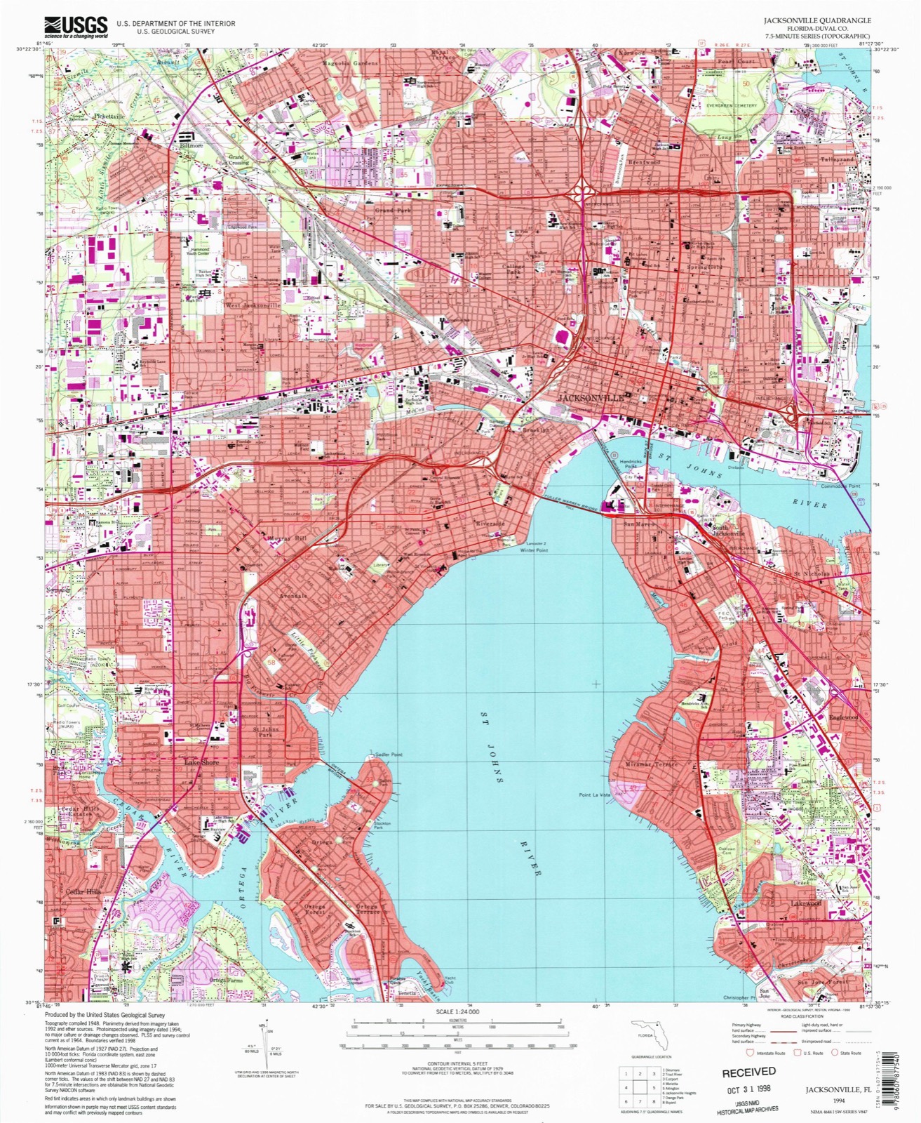
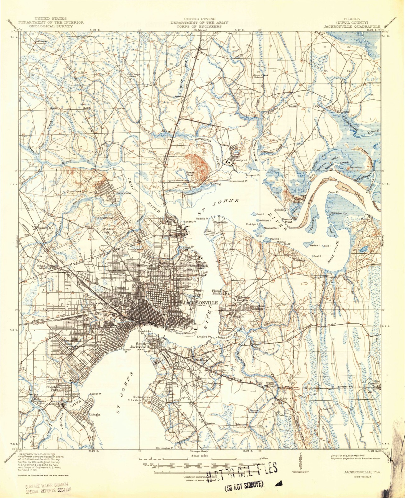
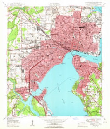
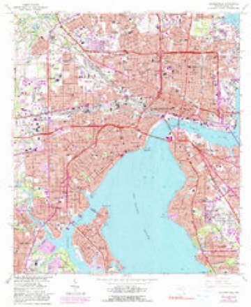
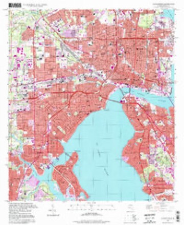
21 topographic sheets cover this place, the earliest surveyed in 1918 and the latest in 1994. It stands in the Jacksonville West census division. It lies in ZIP code area 32210. It stands on Butcher Pen Creek. The Survey maps it on the Jacksonville quadrangle.
Then and now
1918 to 1994The same ground, surveyed 76 years apart. Drag the handle to wipe between them. Both sheets are United States Geological Survey originals; neither has been altered.
Compare 1918 against another survey:
Topographic sheets covering this place
11 surveys from 21 printed sheetsMatched by testing this settlement's coordinate against the published boundary of every sheet in the United States Geological Survey's historical collection. Each opens the scanned sheet at the Survey.
- 1918 USGS Jacksonville quadrangle1:62500, 5 printings
- 1948 USGS Jacksonville quadrangle1:250000
- 1950 USGS Jacksonville quadrangle1:24000
- 1957 USGS Jacksonville quadrangle1:250000, 3 printings
- 1959 USGS Jacksonville quadrangle1:250000
- 1960 USGS Jacksonville quadrangle1:250000
- 1964 USGS Jacksonville quadrangle1:24000, 5 printings
- 1977 USGS Jacksonville quadrangle1:100000
- 1980 USGS Jacksonville quadrangle1:100000
- 1988 USGS Jacksonville quadrangle1:250000
- 1994 USGS Jacksonville quadrangle1:24000
Fires near this place
201 since 1992Regional context, not property-specific evidence. The federal wildfire occurrence database lists 201 fires within 5 miles of Cedar Hills between 1992 and 2020, burning about 773 acres in total. 17 started naturally. 33 were recorded as arson. Distance is straight-line from the map coordinates, so a fire counted here may appear on a neighbouring settlement's page as well.
| Reported cause | Fires |
|---|---|
| Equipment and vehicle use | 59 |
| Misuse of fire by a minor | 43 |
| Arson/incendiarism | 33 |
| Railroad operations and maintenance | 21 |
| Natural | 17 |
| Debris and open burning | 13 |
| Missing data/not specified/undetermined | 8 |
| Recreation and ceremony | 7 |
The most recent of them, most recent first, with the day each was reported and the service that recorded it.
| Date | Cause | Size | Reported by | Name on the report |
|---|---|---|---|---|
| 7 September 1999 | Natural | 2.0 acres | Florida Forest Service | not named |
| 3 September 2011 | Arson/incendiarism | 9.2 acres | Florida Forest Service | FELDMAN (16) |
| 25 September 2003 | Arson/incendiarism | under an acre | Florida Forest Service | 2003-07-1098 |
| 21 September 2003 | Misuse of fire by a minor | 6.0 acres | Florida Forest Service | 330 |
| 2 September 1994 | Equipment and vehicle use | 3.0 acres | Florida Forest Service | not named |
| 17 September 1997 | Equipment and vehicle use | 10 acres | Florida Forest Service | not named |
| 17 September 1997 | Equipment and vehicle use | 3.0 acres | Florida Forest Service | not named |
| 17 September 1997 | Equipment and vehicle use | 1.2 acres | Florida Forest Service | not named |
Settlements close enough to share some of these fires:
Storms near this place
30 since 2003Regional context, not property-specific evidence. The National Weather Service names Cedar Hills in 30 storm reports between 2003 and 2025: 14 thunderstorm wind, 5 heavy rain, 4 lightning, 3 flash flood. The reports record 1 injury. Each account below is quoted exactly as the forecast office filed it, from the NOAA Storm Events Database, and each date opens the federal record of that event.
| When | Event | Place named | Harm | What the report says |
|---|---|---|---|---|
| July 2015 | Lightning | Cedar Hills | 1 hurt | A citizen was struck by lightning near 1500 South Lane Avenue. The time of the incident was based on radar and lightning data. |
| August 2020 | Heavy Rain | Cedar Hills | $15,000 | Rainfall caused a roof to cave in at at Dunkin Donuts along Cassat Avenue. The cost of damage was unknown, but it was estimated for Storm Data. |
| August 2012 | Lightning | Cedar Hills | $10,000 | Lightning caused a structure fire along the 3600 block of Richmond Street in the Avondale area of Jacksonville. The structure was 2 stories. The extent of damage was unknown, and the cost of damage was estimated. |
| July 2017 | Lightning | Cedar Hills | $2,000 | A lightning fire at 3600 block of Riverside Avenue burned a transformer. The cost of damage was estimated. |
| April 2016 | Thunderstorm Wind | Cedar Hills | $2,000 | Power lines were blown down onto a home in the 2700 block of Arapahoe Avenue. Time was based on radar. The cost of damage was estimated. |
| April 2016 | Thunderstorm Wind | Cedar Hills | $2,000 | Wires were blown down near the intersection of Algonquin Ave and Baltic Street. The time of damage was based on radar and the cost of damage was estimated. |
| March 2022 | Thunderstorm Wind | Cedar Hills | $1,500 | A few large trees were blown down near Blanding Blvd and Harlow Road. At the time of the damage, wind gusts of 40-45 mph were measured with thunderstorms moving east across Duval county. The cost of damage was unknown, but it was estimated for inclusion of this event in Storm Data. |
| April 2016 | Thunderstorm Wind | Cedar Hills | $1,000 | A large tree was blown down on Water Oak Lane. Time of damage was based on radar. The cost of damage was estimated. |
| May 2013 | Flood | Cedar Hills | $1,000 | A branch of the Cedar River was escaping its banks and causing areal flooding. The cost of damage was unknown, and only estimated so the event could be included in Storm Data. |
| September 2017 | Lightning | Cedar Hills | $500 | A home was struck by lightning. No fire observed at time of report. Cost of damage unknown but estimated for Storm Data. |
| June 2025 | Flash Flood | Cedar Hills | - | At 3:50 pm, a spotter reported streets and lawns flooded near Lem | Turner Rd. At 4 pm, the public reported streets were flooded in the downtown | Jacksonville area, at least ankle deep in | some spots. At 4:15 pm, the public reported two cars stalled in a flooded road. At 4:30 pm, social media reported showed widespread street | flooding in San Marco near Riviera Street, Landon Ave, Larue Ave, | LaSalle Street, and Belmonte Ave. Portions of Larue Ave and LaSalle St were closed due to flooding. Water covered lawns and nearly entered homes in | some locations. |
| May 2024 | Thunderstorm Wind | Cedar Hills | - | A large tree branch broke off an oak tree and fell onto the roof of a house causing roof damage along Betsy Dr. |
| September 2023 | Thunderstorm Wind | Cedar Hills | - | A large strip mall sign was blown off causing significant damage to the roof of the store at the intersection of Blanding Blvd and Shirley Avenue. |
| July 2022 | Flood | Cedar Hills | - | The intersection of lenox ave and cassat ave was flooded. Several reports from an information sharing traffic map reported flooded streets on the westside of Jacksonville. A flood warning was in effect. |
| June 2021 | Flash Flood | Cedar Hills | - | At 515 pm, media showed a video on social media of up to 6 inches of water flooding the intersection of Bay Street and Main Street in downtown Jacksonville. At 525 pm, the media relayed a social media video of 6-12 inches of flood water over Park Street near Avondale Avenue in Jacksonville. At 551 pm, the media shared a social media video of Hogan's Creek overflowing it's banks near Bethel Baptist Street and Laura Street. At 553 pm, the public shared a social media video of minor ponding in their yard along Gilmore Street in Riverside. At 554 pm, the public shared another social media post of street flooding in San Marco near Landon and Flagler Avenues. At 556 pm, the public shared a social media photo of their backyard flooding near Little Fishweir Creek by the intersection of Azalea Drive and Hollingworth Street. |
| August 2020 | Flash Flood | Cedar Hills | - | At 852 pm, the broadcast media relayed a video of flooding along College Street in Riverside. Cars appeared they were driving through about 1 ft of flood water. At 918 pm, the public reported water flowing over the road at Roosevelt Blvd and Hollywood in Jacksonville. At 924 pm, broadcast media reported cars were trapped in flood water along College Drive and Acosta Steers in Riverside. At 930 pm, the public reported flooding across the road at Fitch and Belvedere in Jacksonville. At 1025 pm, the public reported flooding at Pine Grove Avenue in Avondale. |
| April 2019 | Thunderstorm Wind | Cedar Hills | - | Power lines were blown down along Cedar Oaks Drive. The time of damage was based on radar. |
| April 2019 | Thunderstorm Wind | Cedar Hills | - | A gate was damaged by winds at the Heritage on the River apartment complex at Conferderate Point Road. The time of damage was based on radar. |
| July 2019 | Thunderstorm Wind | Cedar Hills | - | A tree was blown down on a home at the 3900 block of McGrits Blvd in Ortega. The time of damage was based on radar. |
| April 2012 | Thunderstorm Wind | Cedar Hills | - | A woman had to be cut out of her car after a large water oak tree was blown down on it at the intersection of St. Johns Ave and Donald Street. |
| April 2012 | Thunderstorm Wind | Cedar Hills | - | Several large trees were reported blown down in Avondale. Some were on top of car and other caused power line damage. |
| August 2012 | Heavy Rain | Cedar Hills | - | Rainfall amounts within 20 minutes were 0.50 inches to 0.74 inches. |
| July 2011 | Thunderstorm Wind | Cedar Hills | - | Trees were blown down in San Marco and Avondale. The time of damage was based on radar. |
| June 2011 | Thunderstorm Wind | Cedar Hills | - | A large tree was blown down at Stimson and Lexington Ave. |
| January 2011 | Funnel Cloud | Cedar Hills | - | A funnel cloud was reported near Greenland and Loretto Road. |
| June 2010 | Heavy Rain | Cedar Hills | - | Minor flooding was reported in Boone Park. The creek in the park overflowed onto the grassy areas. No property was affected. |
| July 2008 | Heavy Rain | Cedar Hills | - | Flooding occurred due to poor drainage on 105th Street between Jammes and Blanding Blvd. |
| September 2007 | Heavy Rain | Cedar Hills | - | A trained spotter reported 5.24 inches of rainfall since midnight. The observers location was just southwest of Cassat Avenue and Normandy Boulevard. |
| March 2003 | Hail | Cedar Hills | - | Golf ball sized hail reported in several portions of the Jacksonville Westside, including W. Edgewood Ave., Walbash St., Deason St., and Suffolk Ave. |
| February 2003 | Thunderstorm Wind | Cedar Hills | - | Spotter reported estimated winds of 60 mph at 103rd St. and Blandin Blvd. |
Nearest settlements
The eight closest, with where each one stands in the county. Distances are straight-line, computed from the Geographic Names Information System coordinates.
| Map | Place | Distance | Sheets |
|---|---|---|---|
| Cedar Hills Estates | 1.0 miles | 21 | |
| Sweetwater | 1.0 miles | 21 | |
| Oak Hill | 1.2 miles | 24 | |
| Hyde Park | 1.2 miles | 21 | |
| Wesconnett | 1.4 miles | 24 | |
| North Oak Hill | 1.5 miles | 21 | |
| Ortega Farms | 1.5 miles | 21 | |
| Hyde Grove | 1.6 miles | 21 |
Provenance
This settlement is recorded in the Geographic Names Information System as feature 280202. The sheet list is computed by point-in-boundary test against the United States Geological Survey's historical topographic inventory. Both are works of the United States government and carry no copyright under 17 U.S.C. 105.
Wildfire. Short, Karen C. 2022. Spatial wildfire occurrence data for the United States, 1992-2020 [FPA_FOD_20221014]. 6th Edition. Fort Collins, CO: Forest Service Research Data Archive. https://doi.org/10.2737/RDS-2013-0009.6 Collected with United States Government funding and usable without additional permissions or fees.
Storms. NOAA National Centers for Environmental Information, Storm Events Database https://www.ncei.noaa.gov/stormevents/ A work of the United States government, no copyright under 17 U.S.C. 105. Narratives are quoted verbatim from the National Weather Service report and are not edited or summarised.