 Block
BlockCoconut Grove, Florida
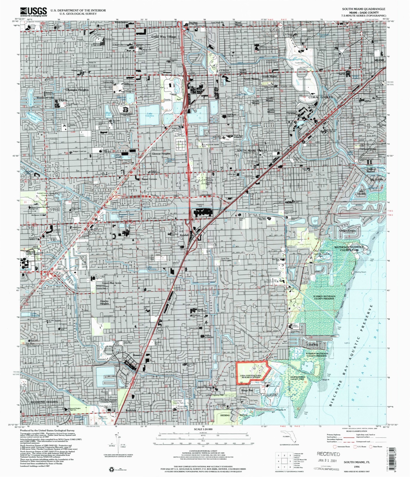
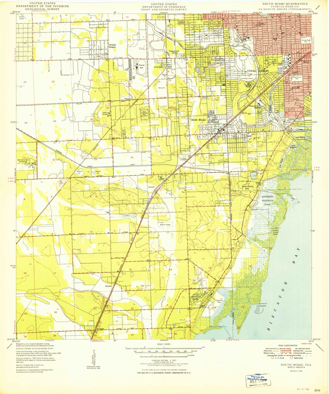
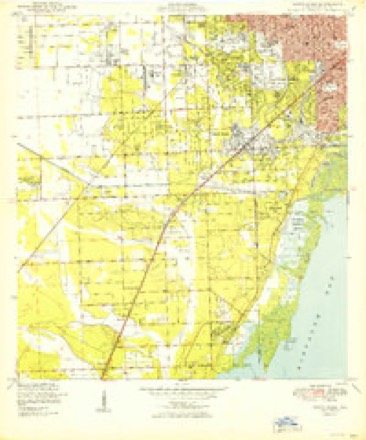
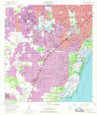
14 topographic sheets cover this place, the earliest surveyed in 1950 and the latest in 1994. It stands in the Miami census division. It lies in ZIP code area 33133. It lies near Isla Grande. The Survey maps it on the South Miami quadrangle.
Then and now
1950 to 1994The same ground, surveyed 44 years apart. Drag the handle to wipe between them. Both sheets are United States Geological Survey originals; neither has been altered.
Compare 1950 against another survey:
On record in Coconut Grove
Buildings and businesses the archive holds for this place. Each opens its own page, with the source record it came from.
On the National Register within a mile 2 records
The National Register names another town for these. They stand within one mile of this settlement's coordinate.
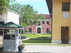 El Jardinlisted 1974 · 0.8 miles away
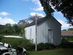 First Coconut Grove Schoollisted 1975 · 0.9 miles away
Topographic sheets covering this place
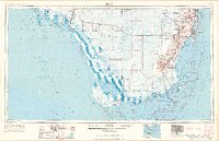
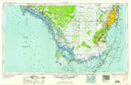
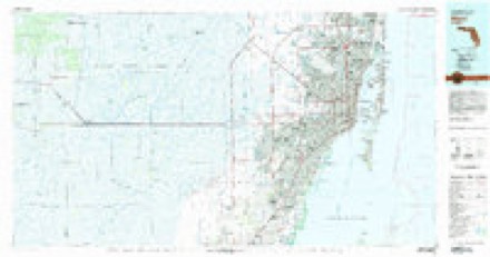
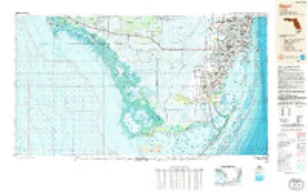
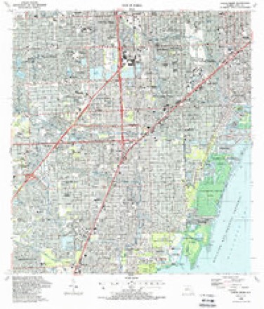
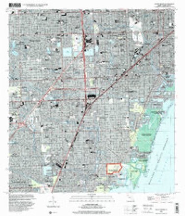
8 surveys from 14 printed sheetsMatched by testing this settlement's coordinate against the published boundary of every sheet in the United States Geological Survey's historical collection. Each opens the scanned sheet at the Survey.
- 1950 USGS South Miami quadrangle1:24000, 2 printings
- 1956 USGS Miami quadrangle1:250000, 5 printings
- 1956 USGS South Miami quadrangle1:24000, 2 printings
- 1958 USGS Miami quadrangle1:250000
- 1981 USGS Miami quadrangle1:100000
- 1988 USGS Miami quadrangle1:250000
- 1988 USGS South Miami quadrangle1:24000
- 1994 USGS South Miami quadrangle1:24000
Fires near this place
10 since 1992Regional context, not property-specific evidence. The federal wildfire occurrence database lists 10 fires within 5 miles of Coconut Grove between 1992 and 2018, burning about 40 acres in total. None started naturally. 3 were recorded as arson. Distance is straight-line from the map coordinates, so a fire counted here may appear on a neighbouring settlement's page as well.
| Reported cause | Fires |
|---|---|
| Misuse of fire by a minor | 5 |
| Arson/incendiarism | 3 |
| Missing data/not specified/undetermined | 1 |
| Equipment and vehicle use | 1 |
The most recent of them, most recent first, with the day each was reported and the service that recorded it.
| Date | Cause | Size | Reported by | Name on the report |
|---|---|---|---|---|
| 14 June 2011 | Arson/incendiarism | 4.0 acres | Florida Forest Service | SUNSET (13) |
| 8 May 1997 | Missing data/not specified/undetermined | 3.0 acres | Florida Forest Service | not named |
| 28 May 1994 | Misuse of fire by a minor | 1.0 acres | Florida Forest Service | not named |
| 4 April 2003 | Misuse of fire by a minor | 5.0 acres | Florida Forest Service | not named |
| 27 April 1996 | Equipment and vehicle use | 2.0 acres | Florida Forest Service | not named |
| 2 April 2003 | Misuse of fire by a minor | under an acre | Florida Forest Service | not named |
| 14 February 2013 | Arson/incendiarism | 8.0 acres | Florida Forest Service | SUNSET ( 13 ) |
| 2 December 1992 | Misuse of fire by a minor | under an acre | Florida Forest Service | not named |
Settlements close enough to share some of these fires:
Mines and quarries near this place
2 within 5 milesRegional context, not property-specific evidence. The federal mineral resources record lists 2 workings within 5 miles of Coconut Grove: 2 past producers. None of them still produces. What was taken out: Stone, Crushed/Broken. Distance is straight-line from the map coordinates, so a quarry counted here may appear on a neighbouring settlement's page as well.
| Where | Site | Commodity | Status | Recorded |
|---|---|---|---|---|
| Oolite Rock Limestone Quarry | Stone, Crushed/Broken | Past Producer | ||
| Tropical Limestone Pit | Stone, Crushed/Broken | Past Producer |
Storms near this place
12 since 2009Regional context, not property-specific evidence. The National Weather Service names Coconut Grove in 12 storm reports between 2009 and 2023: 5 thunderstorm wind, 2 hail, 2 flood, 2 flash flood. The reports record 1 injury. Each account below is quoted exactly as the forecast office filed it, from the NOAA Storm Events Database, and each date opens the federal record of that event.
| When | Event | Place named | Harm | What the report says |
|---|---|---|---|---|
| September 2014 | Lightning | Coconut Grove | 1 hurt | Broadcast media reported a groundskeeper was struck and injured by a lightning strike in Coral Gables. The 56-year-old man was found unconscious and in cardiac arrest and a defibrillator was used to restore his pulse and breathing. He had burn marks on his clothes but was responsive and talking upon arrival at the hospital. |
| May 2020 | Thunderstorm Wind | Coconut Grove | $3,000 | The public reported a large tree downed onto their roof and fence via social media. Wind gust estimated based off radar at approximately 42 mph (36 kt). Small hail (approximately 0.50 inches, estimated) was also reported with this thunderstorm. |
| June 2012 | Hail | Coconut Grove | $3,000 | Golf ball sized hail reported in Coconut Grove. Strong winds were also reported which toppled a tree onto a car, damaging the back window, top and side. |
| November 2023 | Flash Flood | Coconut Grove | - | Numerous reports of standing water, stranded vehicles, and road closures in the downtown Miami area due to heavy rainfall after continuous rounds of showers moved across the area. Several roads had 6-12 inches of standing water and stranded vehicles, including Biscayne Boulevard near Northeast 6th Street in Miami, Brickell Avenue near Southeast 14th Street in Brickell, and Alton Road near Interstate-195 in Miami Beach. There were no reports of structures being impacted. Up to 8 inches of rain was estimated to have fallen in the area within a 3-hour period, with 12-hour rainfall amounts of 10-12 inches. |
| May 2021 | Flood | Coconut Grove | - | A member of the public sent videos of flooding near Dinner Key Marina and near 27th Ave and Coral Way due to multiple rounds of thunderstorms. Water exceeding curbs and halfway up car tires. |
| May 2020 | Thunderstorm Wind | Coconut Grove | - | An off-duty NWS Employee reported multiple medium and large sized tree branches down near Percival Ave and Oak Ave. Wind gust estimated based off radar at approximately 42 mph (36 kt), but were likely higher on the ground. Small hail (approximately 0.50 inches, estimated) was also reported with this thunderstorm. |
| February 2020 | Flood | Coconut Grove | - | Several social media reports showed street flooding due to heavy rainfall in Miami Beach. An off duty NWS employee reported minor flooding in Wynwood near the intersection of NW 2nd Ave and 27th Terr. Pictures and video via social media showed water ankle high and flowing, along with stranded cars and floating barricades due to excessive water over the roadway. |
| September 2020 | Flash Flood | Coconut Grove | - | Several broadcast media reports of significant street flooding from Coconut Grove to Brickell and Downtown Miami, and possibly extending into Little Havana. U.S. Highway 1 in Coconut Grove and Brickell was covered in water up to knee-high in places, leading to a number of stalled vehicles.||Rainfall amounts of 5 to 7 inches in about 6 hours were measured in the Coconut Grove and Little Havana areas, with 3 to 4 inches measured during a similar time frame in Downtown Miami and Brickell. |
| June 2014 | Thunderstorm Wind | Coconut Grove | - | A thunderstorm produced a wind gust of 64 mph at Miami City Hall. |
| April 2014 | Thunderstorm Wind | Coconut Grove | - | Mesonet report from Miami City Hall measured a 61 mph gust in a severe thunderstorm. |
| June 2012 | Hail | Coconut Grove | - | Hail the size of baseballs to large apples reported in the Coral Gables area. Pictures of the hail were received at the NWS office with a confirmed diameter of up to 3 inches. |
| May 2009 | Thunderstorm Wind | Coconut Grove | - | A report was receive of a wind gust to 60 mph in Coconut Grove with a passing thunderstorm. |
Nearest settlements
The eight closest, with where each one stands in the county. Distances are straight-line, computed from the Geographic Names Information System coordinates.
| Map | Place | Distance | Sheets |
|---|---|---|---|
| Sunrise Harbor | 0.7 miles | 16 | |
| Coral Gables | 0.9 miles | 14 | |
| Gables Estates | 1.4 miles | 14 | |
| Ocean View Heights | 2.0 miles | 16 | |
| South Miami | 2.0 miles | 14 | |
| South Bay Estates | 2.0 miles | 16 | |
| The Pines | 2.5 miles | 16 | |
| Silver Bluff Estates | 2.7 miles | 16 |
Provenance
This settlement is recorded in the Geographic Names Information System as feature 280618. The sheet list is computed by point-in-boundary test against the United States Geological Survey's historical topographic inventory. Both are works of the United States government and carry no copyright under 17 U.S.C. 105.
Wildfire. Short, Karen C. 2022. Spatial wildfire occurrence data for the United States, 1992-2020 [FPA_FOD_20221014]. 6th Edition. Fort Collins, CO: Forest Service Research Data Archive. https://doi.org/10.2737/RDS-2013-0009.6 Collected with United States Government funding and usable without additional permissions or fees.
Mines and quarries. USGS Mineral Resources Data System (MRDS) https://mrdata.usgs.gov/mrds/ A work of the United States government, no copyright under 17 U.S.C. 105.
Storms. NOAA National Centers for Environmental Information, Storm Events Database https://www.ncei.noaa.gov/stormevents/ A work of the United States government, no copyright under 17 U.S.C. 105. Narratives are quoted verbatim from the National Weather Service report and are not edited or summarised.