 Block
BlockDoctors Inlet, Florida
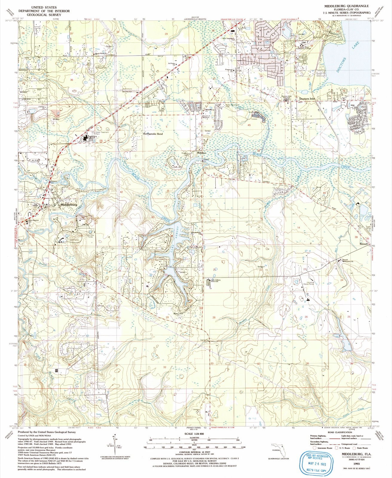
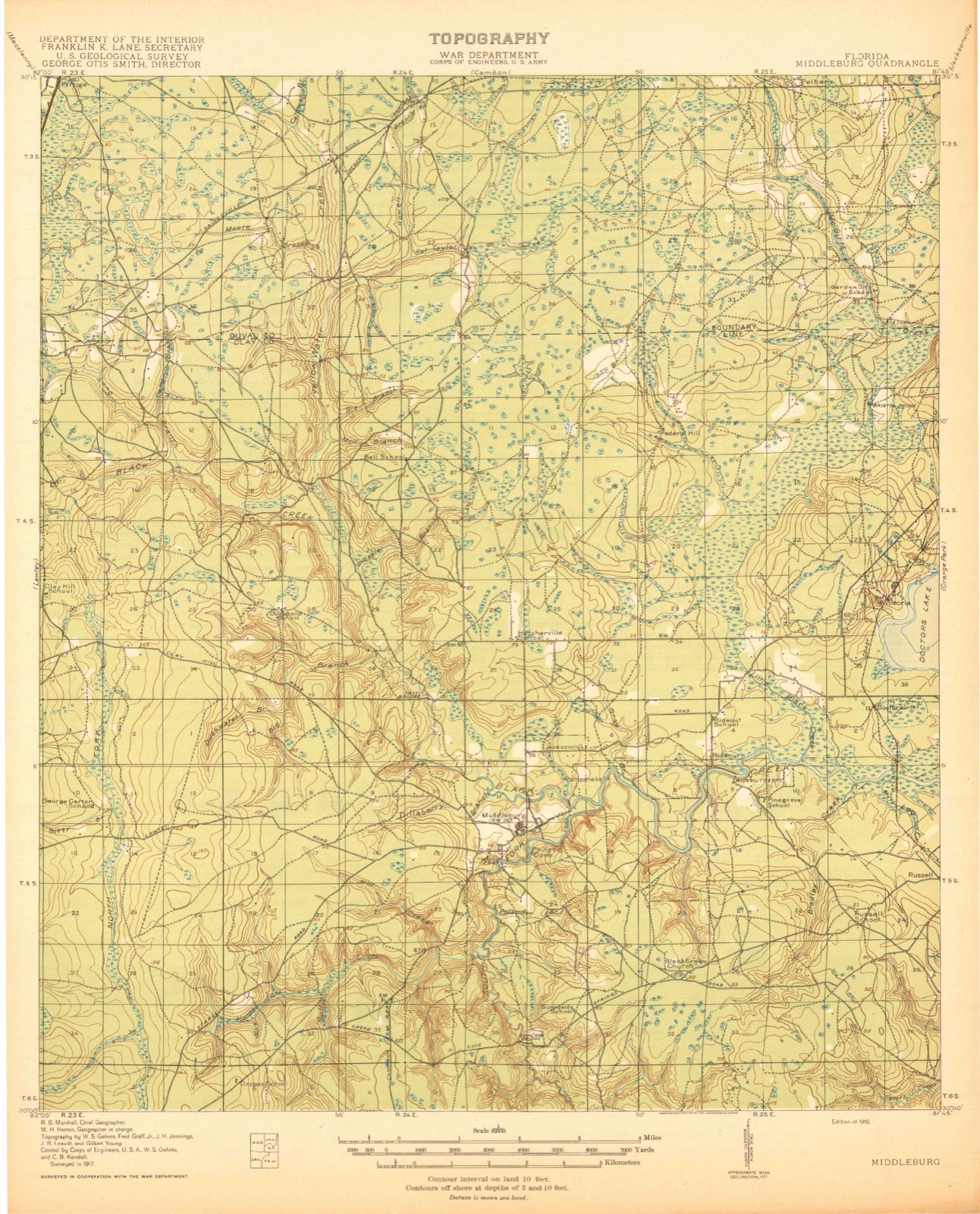
21 topographic sheets cover this place, the earliest surveyed in 1918 and the latest in 1993. It stands in the Orange Park census division. It lies in ZIP code area 32068. It stands on Duck Creek. The Survey maps it on the Middleburg quadrangle. It stands 10 feet above sea level.
Then and now
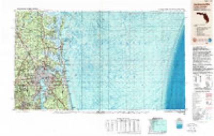
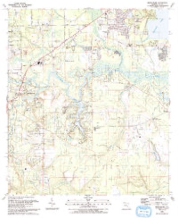
1918 to 1993The same ground, surveyed 75 years apart. Drag the handle to wipe between them. Both sheets are United States Geological Survey originals; neither has been altered.
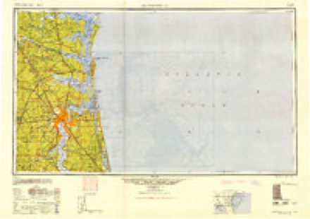
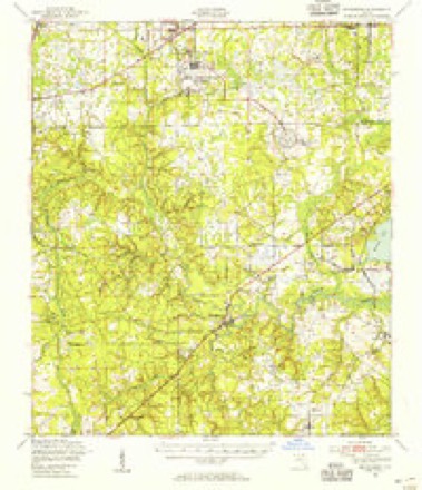
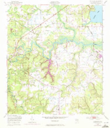
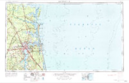
Topographic sheets covering this place
12 surveys from 21 printed sheetsMatched by testing this settlement's coordinate against the published boundary of every sheet in the United States Geological Survey's historical collection. Each opens the scanned sheet at the Survey.
- 1918 USGS Middleburg quadrangle1:62500, 4 printings
- 1941 USGS Middleburg quadrangle1:62500
- 1948 USGS Jacksonville quadrangle1:250000
- 1949 USGS Middleburg quadrangle1:62500
- 1949 USGS Middleburg quadrangle1:24000, 5 printings
- 1957 USGS Jacksonville quadrangle1:250000, 3 printings
- 1959 USGS Jacksonville quadrangle1:250000
- 1960 USGS Jacksonville quadrangle1:250000
- 1977 USGS Jacksonville quadrangle1:100000
- 1980 USGS Jacksonville quadrangle1:100000
- 1988 USGS Jacksonville quadrangle1:250000
- 1993 USGS Middleburg quadrangle1:24000
Fires near this place
163 since 1992Regional context, not property-specific evidence. The federal wildfire occurrence database lists 163 fires within 5 miles of Doctors Inlet between 1992 and 2019, burning about 1,185 acres in total. 19 started naturally. 18 were recorded as arson. Distance is straight-line from the map coordinates, so a fire counted here may appear on a neighbouring settlement's page as well.
| Reported cause | Fires |
|---|---|
| Misuse of fire by a minor | 36 |
| Railroad operations and maintenance | 35 |
| Natural | 19 |
| Equipment and vehicle use | 19 |
| Arson/incendiarism | 18 |
| Debris and open burning | 15 |
| Missing data/not specified/undetermined | 13 |
| Recreation and ceremony | 5 |
| Power generation/transmission/distribution | 1 |
| Smoking | 1 |
| Fireworks | 1 |
The most recent of them, most recent first, with the day each was reported and the service that recorded it.
| Date | Cause | Size | Reported by | Name on the report |
|---|---|---|---|---|
| 18 August 2000 | Railroad operations and maintenance | under an acre | Florida Forest Service | not named |
| 15 August 2008 | Debris and open burning | under an acre | Florida Forest Service | 10 TUMBLEWEED 2 2008-07-0437 |
| 11 August 2008 | Arson/incendiarism | under an acre | Florida Forest Service | 10 TUMBLEWEED 2008-07-0432 |
| 29 July 2005 | Natural | under an acre | Florida Forest Service | PINE FOREST DR. 2005-07-0150 |
| 29 July 2005 | Natural | under an acre | Florida Forest Service | RADAR ROAD 2005-07-0151 |
| 21 July 2011 | Arson/incendiarism | under an acre | Florida Forest Service | SHERWOOD DRIVE (10) |
| 21 July 1997 | Natural | 1.0 acres | Florida Forest Service | not named |
| 7 June 2006 | Arson/incendiarism | under an acre | Florida Forest Service | CREEKFRONT FIRE 2006-07-0204 |
Settlements close enough to share some of these fires:
Mines and quarries near this place
10 within 5 milesRegional context, not property-specific evidence. The federal mineral resources record lists 10 workings within 5 miles of Doctors Inlet: 6 occurrences, 3 producers, 1 unknown. 3 still produce. What was taken out: Clay, Stone, Crushed/Broken, Titanium-Heavy Minerals. Distance is straight-line from the map coordinates, so a quarry counted here may appear on a neighbouring settlement's page as well.
| Where | Site | Commodity | Status | Recorded |
|---|---|---|---|---|
| Highland Mine | Titanium-Heavy Minerals | Producer | Leucoxene, Zircon, Kyanite, Rutile | |
| Russell Mill | Stone, Crushed/Broken | Producer | ||
| Russell Mine | Stone, Crushed/Broken | Producer | ||
| Florida Solite Company - Russell Mine | Clay | Unknown | ||
| Hole No 19 Clay Prospect | Clay | Occurrence | ||
| Hole No 22 Clay Prospect | Clay | Occurrence | ||
| Hole No 33 Clay Prospect | Clay | Occurrence | ||
| Hole No 36 Clay Prospect | Clay | Occurrence | ||
| Hole No 42 Clay Prospect | Clay | Occurrence | ||
| Hole No 53 Clay Prospect | Clay | Occurrence |
Storms near this place
25 since 1997Regional context, not property-specific evidence. The National Weather Service names Doctors Inlet in 25 storm reports between 1997 and 2023: 10 thunderstorm wind, 7 hail, 5 heavy rain, 2 flood. No death or injury is recorded in these reports. Each account below is quoted exactly as the forecast office filed it, from the NOAA Storm Events Database, and each date opens the federal record of that event.
| When | Event | Place named | Harm | What the report says |
|---|---|---|---|---|
| June 2012 | Flash Flood | Doctors Inlet | $50,000 | At 6:45 pm, an NWS employee reported 1 foot of standing water over the I-295 and Blanding Blvd exit in Orange Park. At 6:46 pm, the public reported street flooding near Whitey's Fish Camp, about 2 feet deep. At 7:08 pm, the public reported around 1 foot of standing water near Blanding Blvd and Tanglewood in the Lakeside area. At 7:15 pm, the public reported over a foot of standing water at Timbermill Lane and Timberlake Drive. Water was over-flowing out of the storm drain. At 8:20 pm, the public reported flood water coming up to home porches near Bradford and Old Kings Road on the Jacksonville Southside. At 8:30 pm, the public reported a retention pond overflowed and water was almost inside a home. At 9:26 pm, the public reported major flooding at an apartment complex near San Jose and Hartley Road with water about 4 to 5 inches deep inside the apartments. The resident had to be rescued. At 9:45 pm, the public reported knee to waist deep water on the 3100 block of Stonebriar Ridge Road in Oakleaf Plantation. The cost of damage was estimated, and it is likely an under-estimate. |
| March 2003 | Thunderstorm Wind | Doctors Inlet | $40,000 | Large oak tree blown down onto house at 1670 Cinimmon Fern Ct. compromising the roof. |
| June 2015 | Thunderstorm Wind | Doctors Inlet | $10,000 | A metal roof was blown off of a structure and a tree fell on a car. To light poles were blown down and a power line was blown down. The time of damage was based on radar. The cost of damage was unknown but estimated for the event to be included in Storm Data. |
| May 1997 | Thunderstorm Wind | Doctors Inlet | $2,000 | Numerous large trees and power lines were blown down. |
| May 2023 | Hail | Doctors Inlet | - | Quarter size hail was observed near Doctor's Lake. |
| December 2023 | Flood | Doctors Inlet | - | Severe flooding was reported along Pinewood Blvd and East Susan Drive. |
| December 2023 | Flood | Doctors Inlet | - | Portions of Cedar Road near the 4300 block were under water and impassable. |
| July 2019 | Heavy Rain | Doctors Inlet | - | The public measured 2.2 inches storm total rainfall. |
| July 2019 | Heavy Rain | Doctors Inlet | - | The public measured a storm total rainfall of 2.1 inches. |
| June 2017 | Hail | Doctors Inlet | - | A video of quarter size hail near Doctor's Inlet was shared with the NWS. |
| June 2017 | Hail | Doctors Inlet | - | Hail was photographed and shared from Doctor's Inlet area. |
| July 2016 | Thunderstorm Wind | Doctors Inlet | - | The EM reported 15 trees down on homes, 5 roads blocked by fallen trees and about 5 out buildings damaged by fallen trees on Fleming Island. |
| November 2014 | Thunderstorm Wind | Doctors Inlet | - | Two parking light poles were blown down in the parking lot of St. Johns River State College. The time was based on radar and wind gusts in the area. |
| September 2013 | Thunderstorm Wind | Doctors Inlet | - | Large tree limbs and branches were blown down along with pea size hail just NW of Doctor's Inlet. Rainfall amounts greater than 1 inch were measured in 20 minutes. |
| May 2013 | Heavy Rain | Doctors Inlet | - | A measured 4.64 inches was recorded on the west side of Fleming Island since the morning of Thursday, May 2nd. |
| July 2012 | Heavy Rain | Doctors Inlet | - | Daily rainfall total of 4.9 inches was measured on Fleming Island. Radar indicated 4.6 inches of storm total rainfall for the location. |
| June 2009 | Hail | Doctors Inlet | - | A spotter reported penny size hail near County Road 220 and Farm Way. |
| June 2009 | Hail | Doctors Inlet | - | Penny size hail occurred at the corner of Old Jennings Road and College Drive. |
| June 2008 | Heavy Rain | Doctors Inlet | - | A NWS employee measured 3.75 inches of rainfall in two hours. |
| June 2008 | Thunderstorm Wind | Doctors Inlet | - | Large limbs and power lines were blown down along Treasure Point Road and Doctors Lake Drive. Lightning struck a few power lines. |
| June 2008 | Thunderstorm Wind | Doctors Inlet | - | Trees were down along College Drive in Orange Park. |
| July 2008 | Thunderstorm Wind | Doctors Inlet | - | Power lines were blown down from Doctors Inlet to Kingsley Avenue. |
| June 2003 | Thunderstorm Wind | Doctors Inlet | - | Large tree down on house off Plainfield Rd. Power lines down in Doctors Inlet. 1600 persons without power overnight. |
| May 2006 | Hail | Doctors Inlet | - | no account filed |
| May 2006 | Hail | Doctors Inlet | - | no account filed |
Nearest settlements
The eight closest, with where each one stands in the county. Distances are straight-line, computed from the Geographic Names Information System coordinates.
| Map | Place | Distance | Sheets |
|---|---|---|---|
| Peoria Siding | 0.7 miles | 21 | |
| Lakeside | 2.1 miles | 24 | |
| Rideout | 2.1 miles | 21 | |
| Ridgewood | 2.7 miles | 24 | |
| Solite (historical) | 2.7 miles | 21 | |
| Rattlesnake Bend | 2.9 miles | 21 | |
| Neilhurst | 3.0 miles | 20 | |
| Black Creek (historical) | 3.1 miles | 21 |
Elsewhere
Matched on this settlement's Geographic Names Information System number rather than its name, so it cannot be a different place of the same name in another state.
| Wikipedia article on Doctors Inlet | An encyclopaedic summary. Its text is share-alike, so it is linked here rather than copied. |
| Wikidata item Q5287557 | The structured record the population and elevation above come from. Public domain (CC0). |
Provenance
This settlement is recorded in the Geographic Names Information System as feature 281631. The sheet list is computed by point-in-boundary test against the United States Geological Survey's historical topographic inventory. Both are works of the United States government and carry no copyright under 17 U.S.C. 105.
Wildfire. Short, Karen C. 2022. Spatial wildfire occurrence data for the United States, 1992-2020 [FPA_FOD_20221014]. 6th Edition. Fort Collins, CO: Forest Service Research Data Archive. https://doi.org/10.2737/RDS-2013-0009.6 Collected with United States Government funding and usable without additional permissions or fees.
Mines and quarries. USGS Mineral Resources Data System (MRDS) https://mrdata.usgs.gov/mrds/ A work of the United States government, no copyright under 17 U.S.C. 105.
Storms. NOAA National Centers for Environmental Information, Storm Events Database https://www.ncei.noaa.gov/stormevents/ A work of the United States government, no copyright under 17 U.S.C. 105. Narratives are quoted verbatim from the National Weather Service report and are not edited or summarised.