 Block
BlockGainesville, Florida
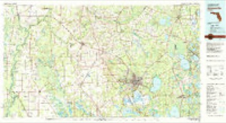
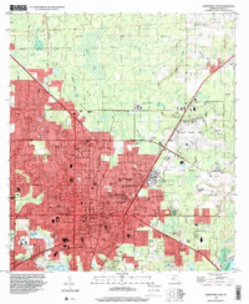
21 topographic sheets cover this place, the earliest surveyed in 1890 and the latest in 1994. It stands in the Gainesville census division. It lies in ZIP code area 32601. The Survey maps it on the Gainesville East quadrangle. 141,085 people lived here at the 2020 count. It stands 177 feet above sea level.
Research this city
Then and now
1890 to 1994The same ground, surveyed 104 years apart. Drag the handle to wipe between them. Both sheets are United States Geological Survey originals; neither has been altered.
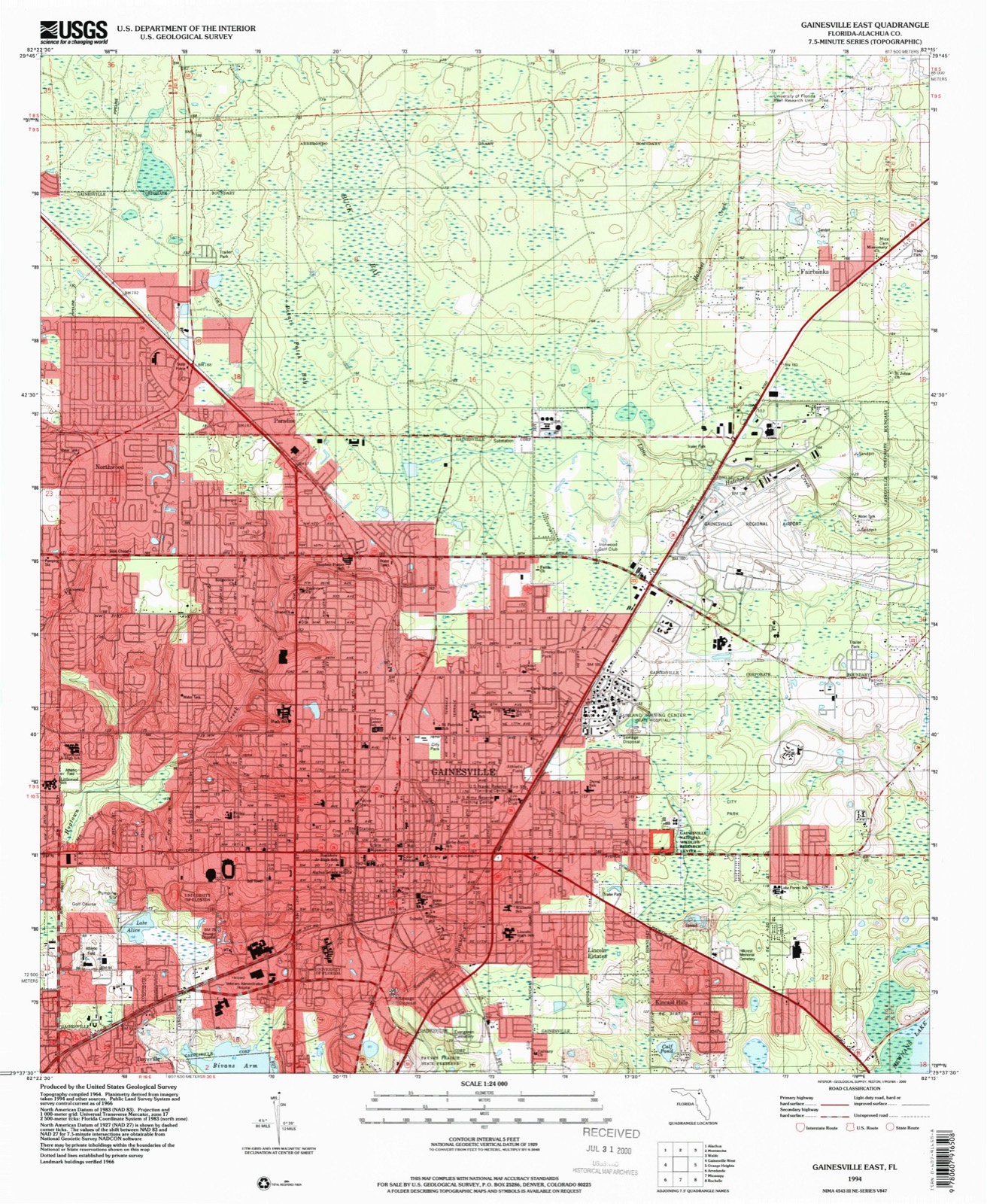
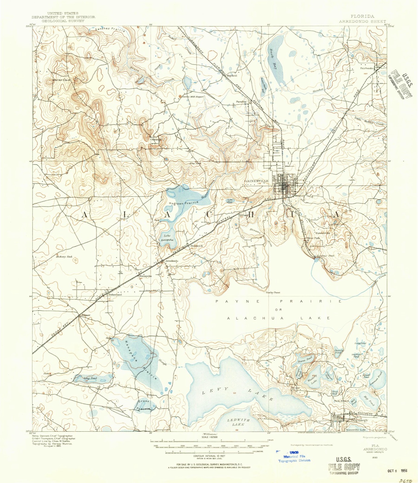
Compare 1890 against another survey:
On record in Gainesville
Buildings and businesses the archive holds for this place. Each opens its own page, with the source record it came from.
On the National Register 12 of 47 shown
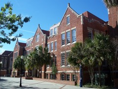 Anderson Halllisted 1979
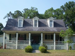 Maj. James B. Bailey Houselisted 1972
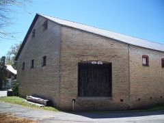 Baird Hardware Company Warehouselisted 1985
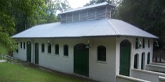 Boulware Spring Waterworkslisted 1985
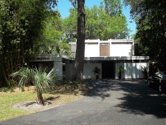 Dan Branch Houselisted 2015
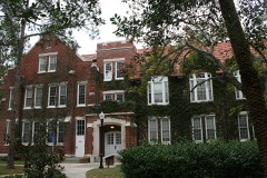 Bryan Halllisted 1979
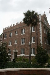 Buckman Halllisted 1974
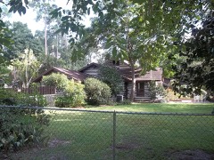 Cox Family Log Houselisted 2017
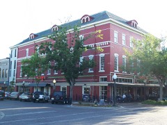 Cox Furniture Storelisted 1994
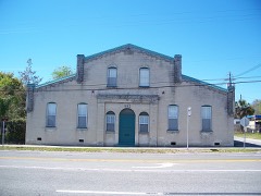 Cox Furniture Warehouselisted 1994
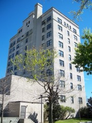 Dixie Hotel, Hotel Kelleylisted 1982
 Engineering Industries Buildinglisted 2008
Population over time
3 figuresGainesville grew from 95,447 to 141,085 between 2000 and 2020. These are the recorded population figures Wikidata holds for this place, reached through the Geographic Names Information System number this page is keyed on rather than by name, so they belong to this place and not to another of the same name. Most are census counts, but not all are: an early figure may be a founding or settlement estimate, and an estimate published within five years of a census is left out. The change column is computed, and is left blank where more than 20 years separate a figure from the one before it, because a gap that long is not a change between two counts.
| Year | People | Change |
|---|---|---|
| 2000 | 95,447 | |
| 2010 | 124,354 | +28,907 (+30%) |
| 2020 | 141,085 | +16,731 (+13%) |
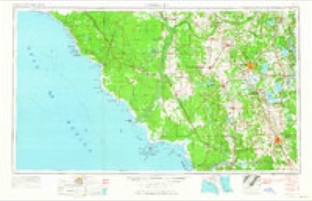
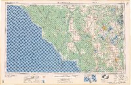
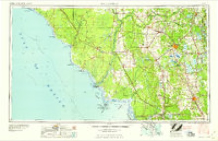
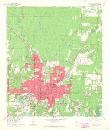
Topographic sheets covering this place
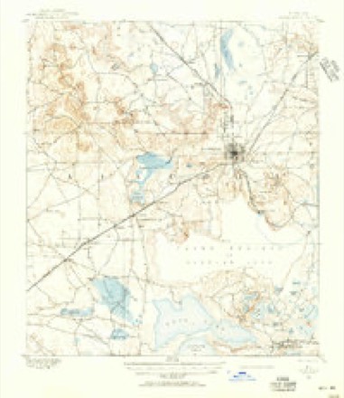
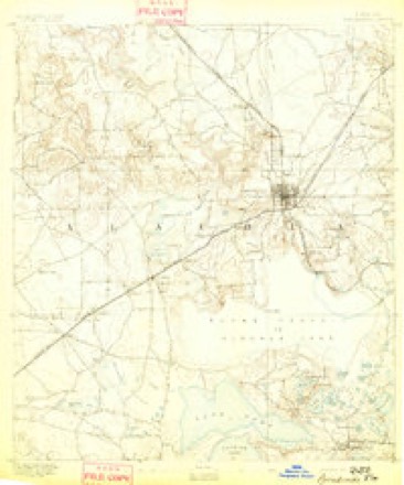
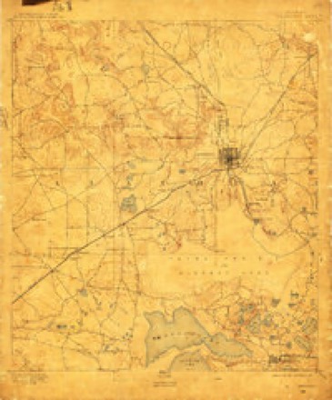
9 surveys from 21 printed sheetsMatched by testing this settlement's coordinate against the published boundary of every sheet in the United States Geological Survey's historical collection. Each opens the scanned sheet at the Survey.
- 1890 USGS Arredondo quadrangle1:62500, 2 printings
- 1892 USGS Arredondo quadrangle1:62500
- 1894 USGS Arredondo quadrangle1:62500, 6 printings
- 1954 USGS Gainesville quadrangle1:250000, 3 printings
- 1958 USGS Gainesville quadrangle1:250000
- 1959 USGS Gainesville quadrangle1:250000
- 1966 USGS Gainesville East quadrangle1:24000, 4 printings
- 1981 USGS Gainesville quadrangle1:100000, 2 printings
- 1994 USGS Gainesville East quadrangle1:24000
Fires near this place
204 since 1992Regional context, not property-specific evidence. The federal wildfire occurrence database lists 204 fires within 5 miles of Gainesville between 1992 and 2020, burning about 4,463 acres in total. 18 started naturally. 15 were recorded as arson. Distance is straight-line from the map coordinates, so a fire counted here may appear on a neighbouring settlement's page as well.
| Reported cause | Fires |
|---|---|
| Equipment and vehicle use | 55 |
| Missing data/not specified/undetermined | 32 |
| Railroad operations and maintenance | 32 |
| Misuse of fire by a minor | 25 |
| Natural | 18 |
| Arson/incendiarism | 15 |
| Debris and open burning | 11 |
| Recreation and ceremony | 9 |
| Power generation/transmission/distribution | 4 |
| Smoking | 2 |
| Other causes | 1 |
The most recent of them, most recent first, with the day each was reported and the service that recorded it.
| Date | Cause | Size | Reported by | Name on the report |
|---|---|---|---|---|
| 30 September 1993 | Equipment and vehicle use | 2.0 acres | Florida Forest Service | not named |
| 24 September 1993 | Equipment and vehicle use | 1.0 acres | Florida Forest Service | not named |
| 1 September 2004 | Natural | under an acre | Florida Forest Service | 945 |
| 9 August 2008 | Natural | 4.0 acres | Florida Forest Service | ALACHUA/NE 8TH AVE |
| 8 August 2020 | Natural | 132 acres | Florida Forest Service | TREATMENT CENTER (01) |
| 5 August 2020 | Natural | 4.5 acres | Florida Forest Service | TARGET RD (01) |
| 3 August 1993 | Railroad operations and maintenance | 5.0 acres | Florida Forest Service | not named |
| 28 August 2011 | Missing data/not specified/undetermined | 12 acres | Florida Forest Service | WATER PLANT #4 (1) |
Settlements close enough to share some of these fires:
Specimens collected near this place
12 of 21,819 shownRegional context, not property-specific evidence. Museums hold 21,819 specimens collected within 10 miles of Gainesville between 1806 and 1975: 9,342 Animalia, 9,183 Fungi, 1,845 Protozoa, 1,194 Plantae, 141 Chromista, 112 Unrecorded, 2 Bacteria. 12 distinct Species records are shown. Collected by ?, A B GROBMAN, A CARR and others. Each is a physical object with a catalogue number, and each entry opens the museum's record. This is what was collected and kept, not a survey of what lives here - nothing can be concluded from a species being absent.
| Image | Species | Year | Collected by | Where, as recorded |
|---|---|---|---|---|
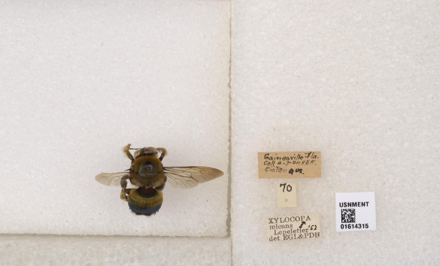 | Xylocopa micans Lepeletier, 1841 | 1847 | not recorded | Gainesville |
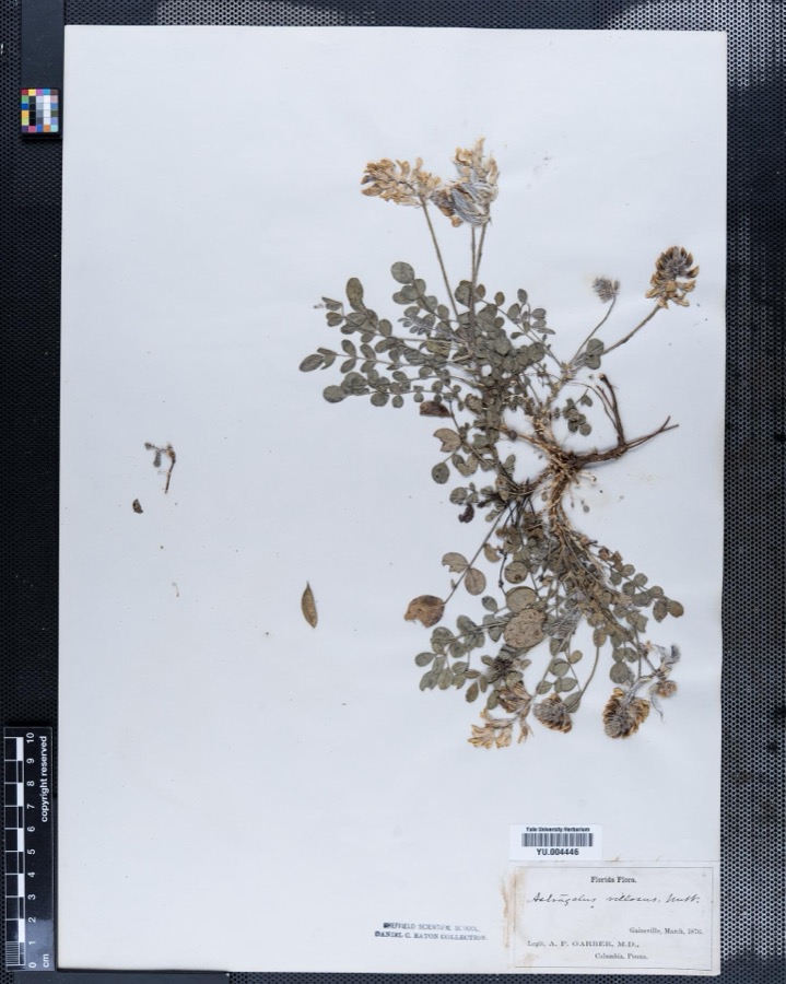 | Astragalus L. | 1876 | Abraham P. Garber | |
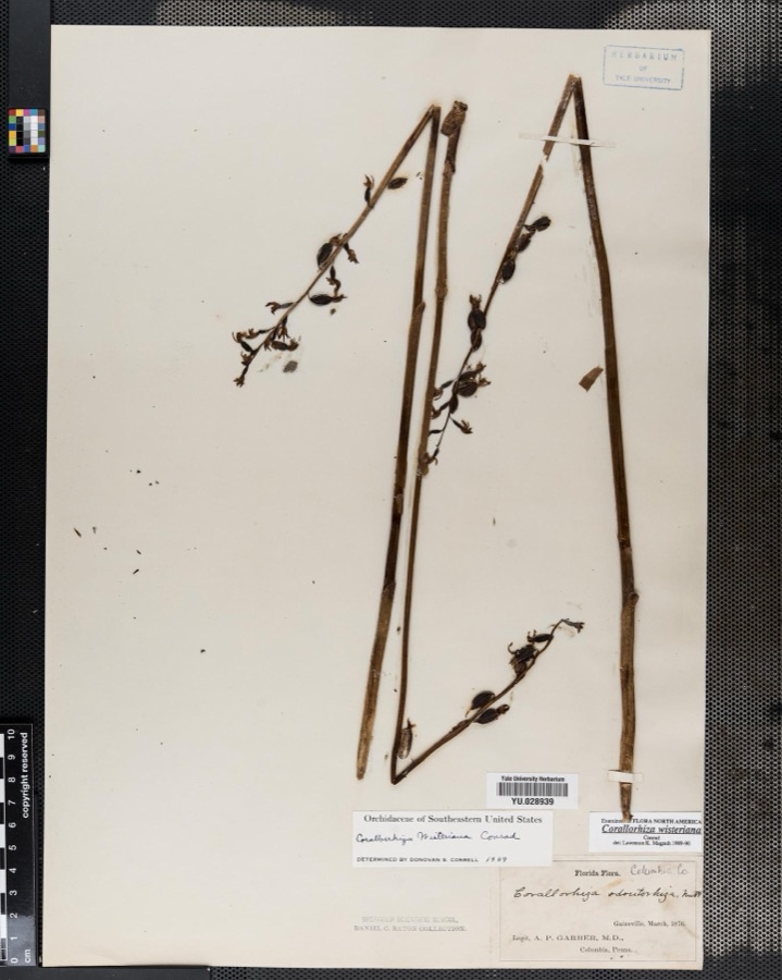 | Corallorrhiza Gagnebin | 1876 | Abraham P. Garber | |
 | Ditrichum pallidum (Hedw.) Hampe | 1806 | C. E. Faxon | |
 | Canthon pilularius (Linnaeus, 1758) | 1822 | F. W. Walker | Gainesville |
 | Ilex vomitoria Aiton | 1826 | A. P. Garber | |
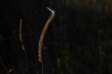 | Ctenium aromaticum (Walter) Alph.Wood | 1842 | F Engel | |
 | Cryptotis parva (Say, 1823) | 1860 | A. Arata | Gainesville, 6 mi. NW |
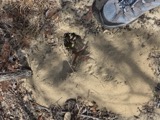 | Geomys pinetis Rafinesque, 1817 | 1860 | James Layne | Gainesville |
 | Myotis Kaup, 1829 | 1860 | Harley B. Sherman | Gainesville |
 | Podomys floridanus (Chapman, 1889) | 1860 | James Layne | Gainesville, 8 mi NW |
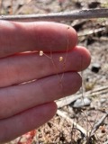 | Utricularia subulata L. | 1873 | C. E. Faxon | Gainesville |
All 21,819 specimens within 10 miles, at the Global Biodiversity Information Facility.
Mines and quarries near this place
3 within 5 milesRegional context, not property-specific evidence. The federal mineral resources record lists 3 workings within 5 miles of Gainesville: 1 prospect, 1 past producer, 1 unknown. None of them still produces. What was taken out: Phosphorus-Phosphates, Aluminum, Fluorine-Fluorite, Iron, Magnesite, Uranium, Water, Free, Stone, Crushed/Broken, Sand. Distance is straight-line from the map coordinates, so a quarry counted here may appear on a neighbouring settlement's page as well.
| Where | Site | Commodity | Status | Recorded |
|---|---|---|---|---|
| Pirkle Deposit #1 | Phosphorus-Phosphates, Aluminum, Fluorine-Fluorite, Iron, Magnesite, Uranium, Water, Free | Prospect | 1956 | |
| Unnamed Limestone Quarry | Stone, Crushed/Broken | Past Producer | ||
| V. E. Whitehurst & Sons, Inc. - Starvation Hill Mine | Sand | Unknown |
Storms near this place
60 of 107 shownRegional context, not property-specific evidence. The National Weather Service names Gainesville in 107 storm reports between 1993 and 2023: 49 thunderstorm wind, 26 hail, 9 funnel cloud, 8 heavy rain. The reports record 2 injuries. Each account below is quoted exactly as the forecast office filed it, from the NOAA Storm Events Database, and each date opens the federal record of that event.
| When | Event | Place named | Harm | What the report says |
|---|---|---|---|---|
| March 2013 | Thunderstorm Wind | Gainesville | 1 hurt, $5,000 | A tree was blown down on a home which resulted in a minor injury to the home homeowner. The time of damage was based on radar. The cost of damage was estimated for inclusion in Storm Data. |
| June 1996 | Lightning | Gainesville | 1 hurt | no account filed |
| July 1996 | Flash Flood | Gainesville | $500,000 | no account filed |
| July 2000 | Thunderstorm Wind | Gainesville | $150,000 | Home damaged. Numerous reports of trees and power lines blown dow. More than 4000 homes in the western sections of the county experenced power outages. |
| May 1997 | Thunderstorm Wind | Gainesville | $75,000 | Trees and power lines were blown down along University Blvd. |
| August 2002 | Lightning | Gainesville | $60,000 | Lightning struck boublewide mobile home. The subsequent fire totally destoryed the structure. |
| November 1995 | Thunderstorm Wind | Gainesville | $55,000 | On Interstate 75, two cars were blown off the highway and caused two tractor-semitrailers to collide. |
| July 2000 | Lightning | Gainesville | $40,000 | Destroyed a mobile home. |
| September 1998 | Thunderstorm Wind | Gainesville | $40,000 | Five cars damaged. Large trees and power lines were blown down. |
| November 2003 | Thunderstorm Wind | Gainesville | $30,000 | Trees down across a road near Gainesville and a large tree felled on a home in La Crosse damaging it. |
| June 1999 | Flash Flood | Gainesville | $15,000 | Water accumulating on the roof of the Oaks Mall, drained into the mall at more than 50 gallons per minute. |
| April 1997 | Thunderstorm Wind | Gainesville | $15,000 | Numerous reports of large trees and power lines blown down. A moble home located at 12308 SR-45 was also destroyed. |
| February 2003 | Thunderstorm Wind | Gainesville | $10,000 | Gainesville Sun reports trees and power lines down. |
| July 2000 | Flash Flood | Gainesville | $10,000 | Numerous streets and roads flooded. |
| April 1996 | Thunderstorm Wind | Gainesville | $6,000 | no account filed |
| July 2002 | Thunderstorm Wind | Gainesville | $5,000 | Three pine trees down, one on a house. Damage to tool shed behind house at 3330 NW 31st Street. |
| July 1999 | Thunderstorm Wind | Gainesville | $5,000 | Large trees and power lines were blown down. Apartment building damaged. |
| April 1997 | Thunderstorm Wind | Gainesville | $5,000 | Large limbs and large trees were blown down. |
| June 2001 | Thunderstorm Wind | Gainesville | $4,500 | Numerous reports of large trees and power lines blown down. |
| March 2001 | Thunderstorm Wind | Gainesville | $3,500 | Large trees and power lines were blown down. |
| March 2001 | Thunderstorm Wind | Gainesville | $3,000 | Trees damaged. |
| June 2001 | Thunderstorm Wind | Gainesville | $3,000 | Large trees and power lines were blown down. |
| March 1998 | Thunderstorm Wind | Gainesville | $3,000 | Large trees and power lines were blown down. |
| August 2000 | Thunderstorm Wind | Gainesville | $2,500 | Large trees and power lines were blown down. |
| August 2000 | Thunderstorm Wind | Gainesville | $2,500 | Large trees and power lines were blown down. |
| August 1999 | Thunderstorm Wind | Gainesville | $2,500 | Large trees and power lines were blown down. |
| September 1998 | Thunderstorm Wind | Gainesville | $2,500 | Large trees and power lines were blown down. |
| August 2002 | Thunderstorm Wind | Gainesville | $2,000 | Large trees and power lines blown down. |
| April 1997 | Flash Flood | Gainesville | $2,000 | Considerabe flooding blocked streets. |
| May 1995 | Thunderstorm Wind | Gainesville | $2,000 | Power lines blown down in Gainesville. A mobile home being transported on Interstate 75 was flipped over and thrown off the highway near Alachua. |
| August 1998 | Thunderstorm Wind | Gainesville | $1,500 | Large trees and power lines were blown down. |
| February 1998 | Thunderstorm Wind | Gainesville | $1,500 | Large tress and power lines were blown down. |
| July 1997 | Thunderstorm Wind | Gainesville | $1,500 | Large trees and power lines were blown down. |
| April 1997 | Thunderstorm Wind | Gainesville | $1,500 | Large limbs and debris block roadways. |
| April 1997 | Thunderstorm Wind | Gainesville | $1,000 | Large limbs and trees were blown down. |
| September 2023 | Thunderstorm Wind | Gainesville | $500 | A large tree was blown down and blocked the intersection of NE 2nd Street and NE 2nd Avenue in Gainesville. The cost of damage was estimated. |
| March 2001 | Thunderstorm Wind | Gainesville | $500 | Minor damage to greenhouse at high school. |
| July 1997 | Thunderstorm Wind | Gainesville | $500 | Large trees were blown down. |
| April 1997 | Thunderstorm Wind | Gainesville | $500 | Large trees and power lines were blown down. |
| July 1994 | Thunderstorm Wind | Gainesville | $500 | Sheriff's office reported trees and power lines down in southeast Gainesville. |
| February 1993 | Thunderstorm Wind | Gainesville | $500 | Civil defense reported trees and power lines downed from thunderstorm winds south of Gainesville. |
| December 1996 | Thunderstorm Wind | Gainesville | $200 | no account filed |
| September 2023 | Heavy Rain | Gainesville | - | A public weather station measured about 4. 5 inches since about 1:45 pm. |
| September 2023 | Heavy Rain | Gainesville | - | An observer measured 4.47 inches since 1:52 mph and observed flooding across the area. |
| September 2023 | Heavy Rain | Gainesville | - | A mesonet station measured 2.8 inches in the past hour. |
| March 2021 | Heavy Rain | Gainesville | - | An observer reported about 3.5 inches of rainfall fell, most between 7 pm and 8 pm. |
| April 2018 | Flood | Gainesville | - | At 6:33 pm, water was pushing up manhole covers on the street behind city hall due to heavy rainfall. At 6:35 pm, county dispatch reported flooding on SW 12th Street and 2nd Avenue estimated about 12 inches deep on the road. |
| June 2018 | Thunderstorm Wind | Gainesville | - | Power lines were blown down at 725 NE 5th Terrace. |
| June 2018 | Thunderstorm Wind | Gainesville | - | A tree was blown down onto power lines and onto the roof of a home near SE 7th Ave and SE 10th Street. |
| August 2017 | Thunderstorm Wind | Gainesville | - | Scattered trees were blown down across the Gainesville city limits. The time of damage was based on radar. |
| January 2006 | Heavy Rain | Gainesville | - | Spotter reported 1.75 inches of rain within a 30 minute period at 926 NW 12th Ave, Gainesville, Florida. multiple power outages and several roads impassable due to poor drainage flooding. Storm total rainfall of 3.2 inches was reported at 22:00 est. |
| January 2006 | Hail | Gainesville | - | Gusty winds reported. Hail later covered the ground. |
| November 2003 | Funnel Cloud | Gainesville | - | Report from Florida State Warning Point. Funnel cloud sighted along County Road 331 near Wachoota. |
| November 2003 | Funnel Cloud | Gainesville | - | Public report of a funnel cloud near Paynes Prairie State Preserve moving rapidly toward Interstate 75. |
| June 2003 | Funnel Cloud | Gainesville | - | Sighted on NW 83rd Strret in Gainesville. |
| June 2003 | Thunderstorm Wind | Gainesville | - | Power Lines down on NW 83rd Street. Roof removed from back porch on 1000 block of NE 21st street. Second report from Gainesville Sun 6/10/03. |
| July 2003 | Thunderstorm Wind | Gainesville | - | Trees reported as twisted off and downed at 3400 SW Williston Rd. No report of a tornado. |
| May 2003 | Thunderstorm Wind | Gainesville | - | Two trees down on a homes. |
| July 2003 | Lightning | Gainesville | - | Spyglass Apartments, 700 SW 62nd Blvd, DD Building. Fire sparked by lightning strike burned roof and attic. Two apartment units received the bulk of the damage due to smoke and water damage. Building was insured, however resident losses were not. |
| May 2002 | Hail | Gainesville | - | Quarter sized hail covered ground. |
Nearest settlements
The eight closest, with where each one stands in the county. Distances are straight-line, computed from the Geographic Names Information System coordinates.
| Map | Place | Distance | Sheets |
|---|---|---|---|
| Lincoln Estates | 1.5 miles | 21 | |
| Lakeview Estates | 2.5 miles | 21 | |
| Kincaid Hills | 2.5 miles | 21 | |
| Idylwild | 2.7 miles | 19 | |
| Melton Manor | 2.7 miles | 19 | |
| Robinson Heights | 2.7 miles | 19 | |
| Daysville | 2.9 miles | 21 | |
| South Idylwild | 2.9 miles | 19 |
Elsewhere
Matched on this settlement's Geographic Names Information System number rather than its name, so it cannot be a different place of the same name in another state.
| Wikipedia article on Gainesville | An encyclopaedic summary. Its text is share-alike, so it is linked here rather than copied. |
| Wikidata item Q487999 | The structured record the population and elevation above come from. Public domain (CC0). |
Provenance
This settlement is recorded in the Geographic Names Information System as feature 282874. The sheet list is computed by point-in-boundary test against the United States Geological Survey's historical topographic inventory. Both are works of the United States government and carry no copyright under 17 U.S.C. 105.
Wildfire. Short, Karen C. 2022. Spatial wildfire occurrence data for the United States, 1992-2020 [FPA_FOD_20221014]. 6th Edition. Fort Collins, CO: Forest Service Research Data Archive. https://doi.org/10.2737/RDS-2013-0009.6 Collected with United States Government funding and usable without additional permissions or fees.
Specimens. Global Biodiversity Information Facility (GBIF), https://www.gbif.org/. Only records licensed CC0 or CC BY are used. Records licensed CC BY-NC are excluded because this site carries advertising. Images are checked individually and any whose licence is non-commercial, no-derivatives or unreadable is refused.
Mines and quarries. USGS Mineral Resources Data System (MRDS) https://mrdata.usgs.gov/mrds/ A work of the United States government, no copyright under 17 U.S.C. 105.
Storms. NOAA National Centers for Environmental Information, Storm Events Database https://www.ncei.noaa.gov/stormevents/ A work of the United States government, no copyright under 17 U.S.C. 105. Narratives are quoted verbatim from the National Weather Service report and are not edited or summarised.