 Block
BlockGoldstein, Florida
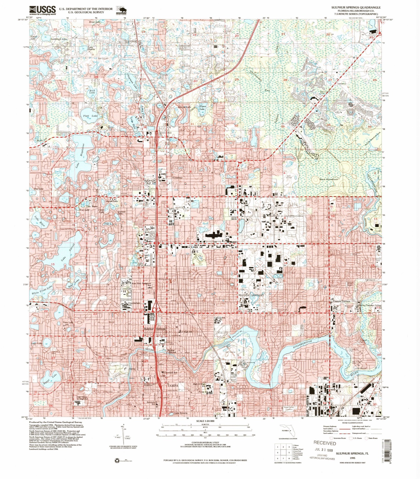
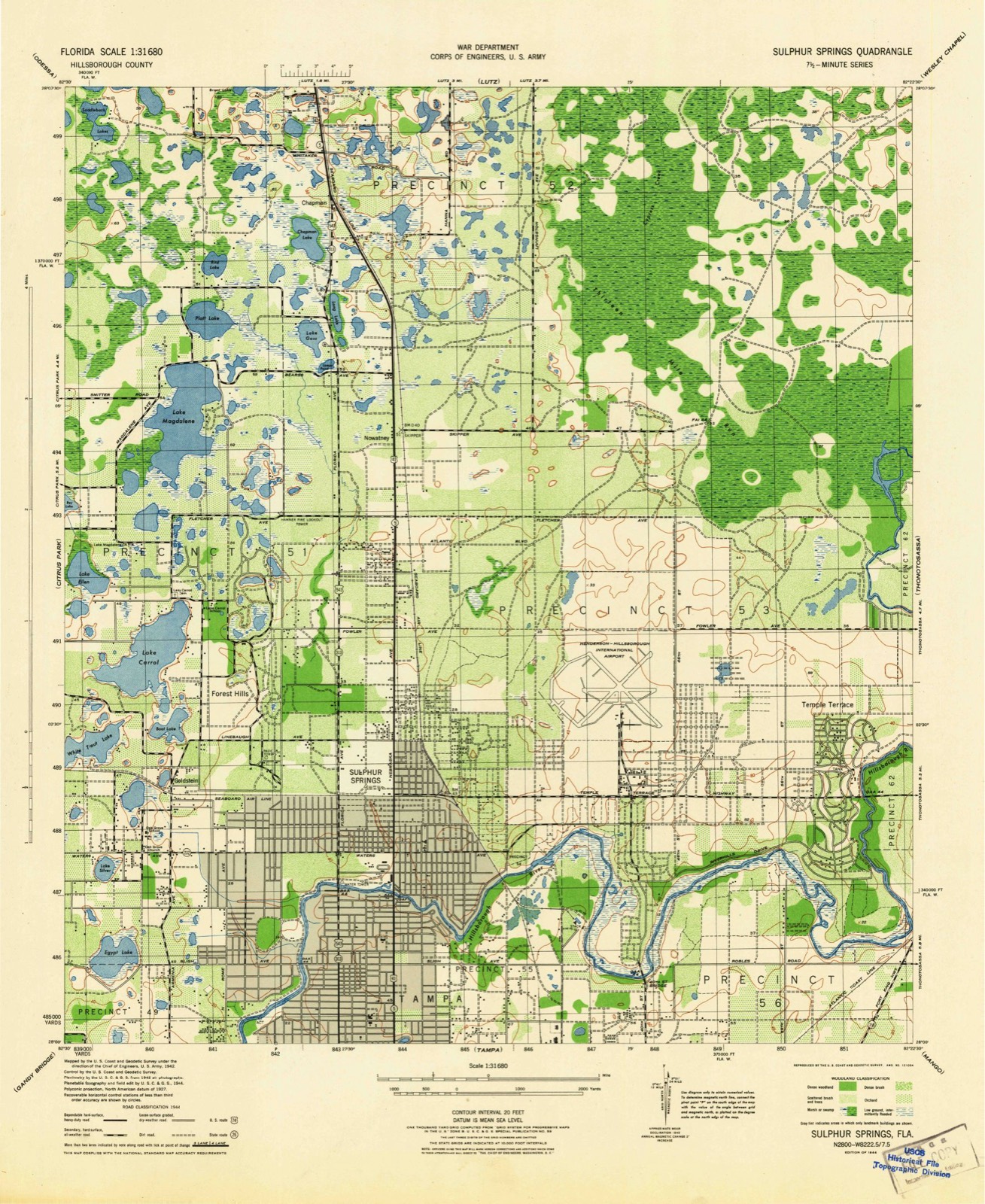
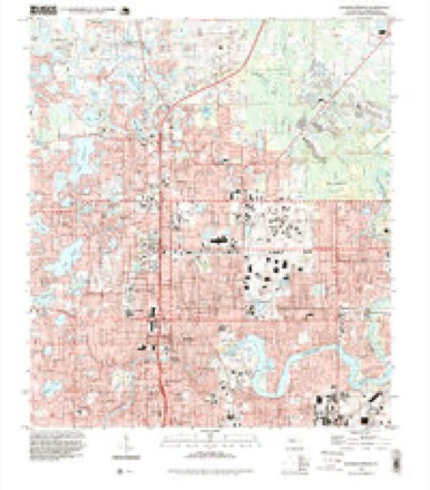
18 topographic sheets cover this place, the earliest surveyed in 1944 and the latest in 1995. It stands in the Tampa census division. It lies in ZIP code area 33618. The Survey maps it on the Sulphur Springs quadrangle.
Then and now
1944 to 1995The same ground, surveyed 51 years apart. Drag the handle to wipe between them. Both sheets are United States Geological Survey originals; neither has been altered.
Compare 1944 against another survey:
Topographic sheets covering this place
11 surveys from 18 printed sheetsMatched by testing this settlement's coordinate against the published boundary of every sheet in the United States Geological Survey's historical collection. Each opens the scanned sheet at the Survey.
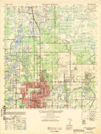
- 1944 USGS Sulphur Springs quadrangle1:31680
- 1945 USGS Sulphur Springs quadrangle1:31680
- 1949 USGS Sulphur Springs quadrangle1:25000
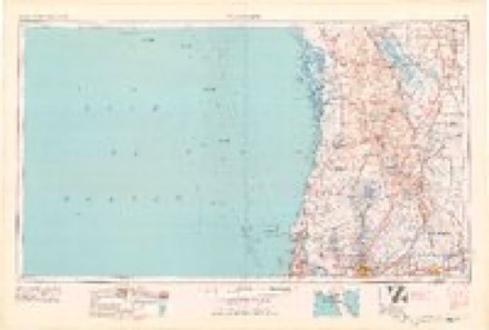
- 1955 USGS Plant City quadrangle1:250000, 3 printings
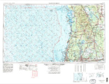
- 1955 USGS Tarpon Springs quadrangle1:250000, 3 printings
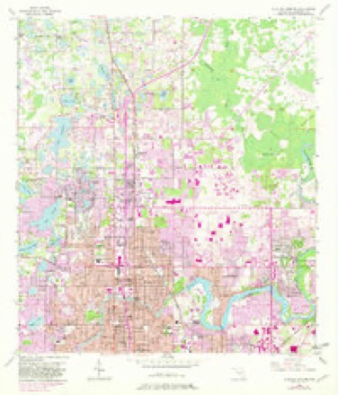
- 1956 USGS Sulphur Springs quadrangle1:24000, 4 printings
- 1958 USGS Plant City quadrangle1:250000
- 1959 USGS Plant City quadrangle1:250000
- 1964 USGS Plant City quadrangle1:250000
- 1978 USGS Tarpon Springs quadrangle1:100000
- 1995 USGS Sulphur Springs quadrangle1:24000
Fires near this place
34 since 1992Regional context, not property-specific evidence. The federal wildfire occurrence database lists 34 fires within 5 miles of Goldstein between 1992 and 2020, burning about 217 acres in total. 3 started naturally. 5 were recorded as arson. Distance is straight-line from the map coordinates, so a fire counted here may appear on a neighbouring settlement's page as well.
| Reported cause | Fires |
|---|---|
| Railroad operations and maintenance | 7 |
| Misuse of fire by a minor | 7 |
| Arson/incendiarism | 5 |
| Recreation and ceremony | 4 |
| Missing data/not specified/undetermined | 3 |
| Natural | 3 |
| Equipment and vehicle use | 3 |
| Smoking | 2 |
The most recent of them, most recent first, with the day each was reported and the service that recorded it.
| Date | Cause | Size | Reported by | Name on the report |
|---|---|---|---|---|
| 30 August 2001 | Natural | 2.0 acres | Florida Forest Service | not named |
| 2 August 1998 | Natural | 5.0 acres | Florida Forest Service | not named |
| 4 July 1992 | Railroad operations and maintenance | 10 acres | Florida Forest Service | not named |
| 19 June 1993 | Misuse of fire by a minor | 40 acres | Florida Forest Service | not named |
| 18 June 1995 | Railroad operations and maintenance | 2.0 acres | Florida Forest Service | not named |
| 4 May 1997 | Railroad operations and maintenance | under an acre | Florida Forest Service | not named |
| 27 May 2000 | Equipment and vehicle use | under an acre | Florida Forest Service | not named |
| 26 May 1992 | Railroad operations and maintenance | 1.0 acres | Florida Forest Service | not named |
Settlements close enough to share some of these fires:
Mines and quarries near this place
4 within 5 milesRegional context, not property-specific evidence. The federal mineral resources record lists 4 workings within 5 miles of Goldstein: 2 producers, 1 plant, 1 unknown. 3 still produce. What was taken out: Sand, Vermiculite, Iron. Distance is straight-line from the map coordinates, so a quarry counted here may appear on a neighbouring settlement's page as well.
| Where | Site | Commodity | Status | Recorded |
|---|---|---|---|---|
| Florida Steel Corp/ Tampa Fla. | Iron | Producer | ||
| Verlite Co/ Tampa, Fla. | Vermiculite | Plant | ||
| Bishop & Buttrey, Inc. - #83 | Sand | Producer | ||
| Dot Tampa - Benjamin Mine | Sand | Unknown | Sand |
Storms near this place
7 since 2008Regional context, not property-specific evidence. The National Weather Service names Goldstein in 7 storm reports between 2008 and 2015: 4 hail, 2 lightning, 1 thunderstorm wind. No death or injury is recorded in these reports. Each account below is quoted exactly as the forecast office filed it, from the NOAA Storm Events Database, and each date opens the federal record of that event.
| When | Event | Place named | Harm | What the report says |
|---|---|---|---|---|
| May 2015 | Lightning | Goldstein | $20,000 | Print and broadcast media outlets reported that a condominium building in Carollwood was struck by lightning Saturday, that smouldered overnight. The fire burned through a ceiling at one point and triggered the sprinklers, extinguishing the fire. The time of the lightning strike was estimated from radar. |
| June 2008 | Lightning | Goldstein | $10,000 | Lightning struck a home on Duck Key Court in Carrollwood causing a two-alarm attic fire. |
| March 2014 | Thunderstorm Wind | Goldstein | $2,000 | Broadcast media relayed a report of a power pole down on a car on Forest Land Drive in Tampa, FL, near the intersection of Gunn Highway and Anderson Road. Time was estimated by radar. |
| May 2015 | Hail | Goldstein | - | A caller reported quarter size hail falling at the intersection of Gunn Hwy and Anderson Road near Citrus Park. |
| June 2008 | Hail | Goldstein | - | Nickel size hail was reported near the intersection of N Dale Mabry Highway and W Waters Avenue. |
| June 2008 | Hail | Goldstein | - | Nickel size hail was reported in Carrollwood near Gunn Highway. |
| June 2008 | Hail | Goldstein | - | Nickel size hail was reported near the intersection of N Dale Mabry Highway and W Waters Avenue. |
Nearest settlements
The eight closest, with where each one stands in the county. Distances are straight-line, computed from the Geographic Names Information System coordinates.
| Map | Place | Distance | Sheets |
|---|---|---|---|
| Carrollwood | 1.0 miles | 18 | |
| Mullis City | 1.2 miles | 17 | |
| Egypt Lake | 1.4 miles | 18 | |
| Sulphur Springs | 2.0 miles | 18 | |
| West Park | 2.3 miles | 17 | |
| Leto | 2.4 miles | 17 | |
| North Tampa Heights | 2.5 miles | 18 | |
| Lake Magdalene | 2.8 miles | 18 |
Provenance
This settlement is recorded in the Geographic Names Information System as feature 300088. The sheet list is computed by point-in-boundary test against the United States Geological Survey's historical topographic inventory. Both are works of the United States government and carry no copyright under 17 U.S.C. 105.
Wildfire. Short, Karen C. 2022. Spatial wildfire occurrence data for the United States, 1992-2020 [FPA_FOD_20221014]. 6th Edition. Fort Collins, CO: Forest Service Research Data Archive. https://doi.org/10.2737/RDS-2013-0009.6 Collected with United States Government funding and usable without additional permissions or fees.
Mines and quarries. USGS Mineral Resources Data System (MRDS) https://mrdata.usgs.gov/mrds/ A work of the United States government, no copyright under 17 U.S.C. 105.
Storms. NOAA National Centers for Environmental Information, Storm Events Database https://www.ncei.noaa.gov/stormevents/ A work of the United States government, no copyright under 17 U.S.C. 105. Narratives are quoted verbatim from the National Weather Service report and are not edited or summarised.