 Block
BlockGulf City, Florida
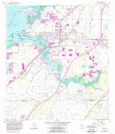
14 topographic sheets cover this place, the earliest surveyed in 1944 and the latest in 1988. It stands in the Ruskin census division. It lies in ZIP code area 33570. It lies near Goat Island. The Survey maps it on the Ruskin quadrangle.
Then and now
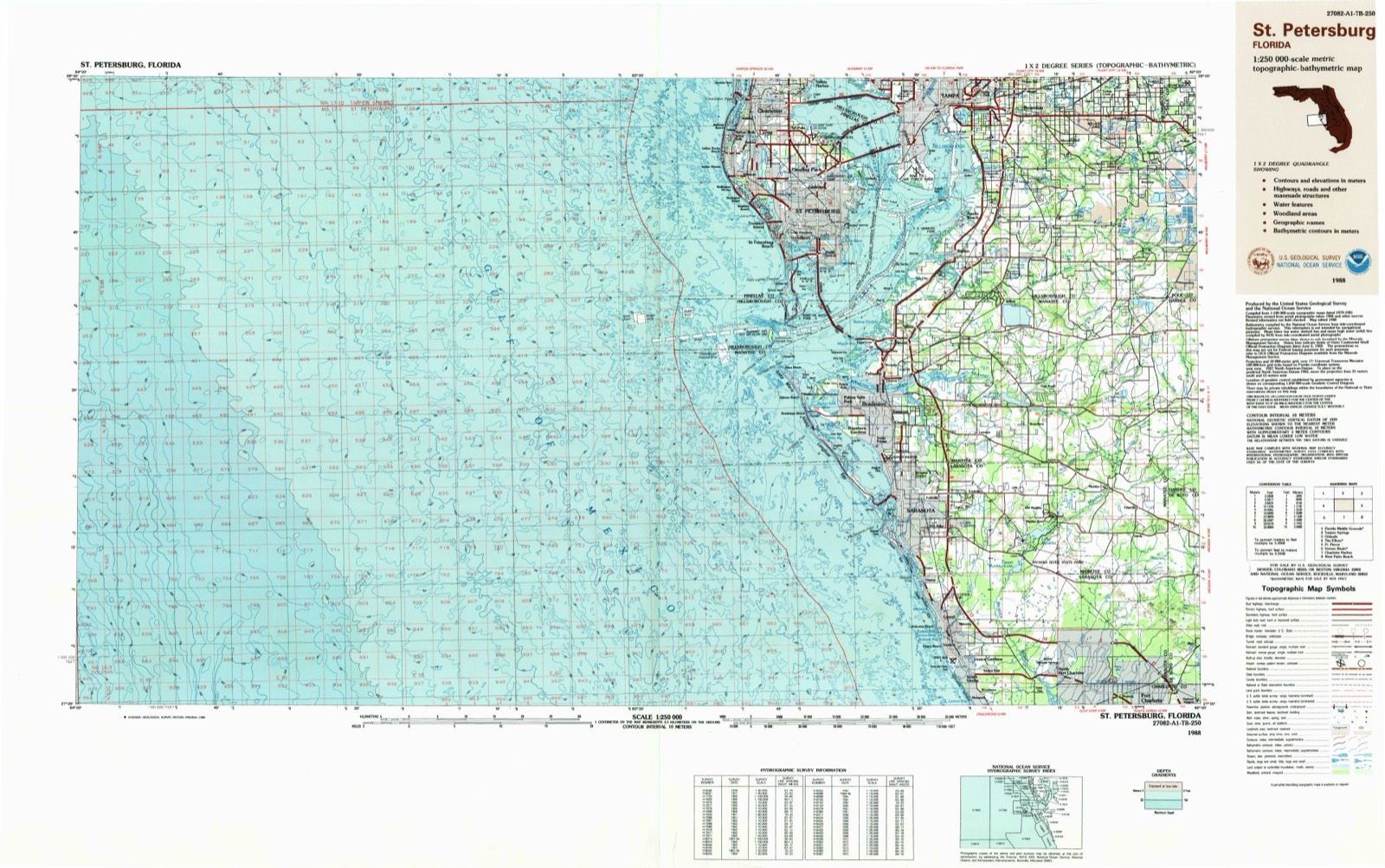
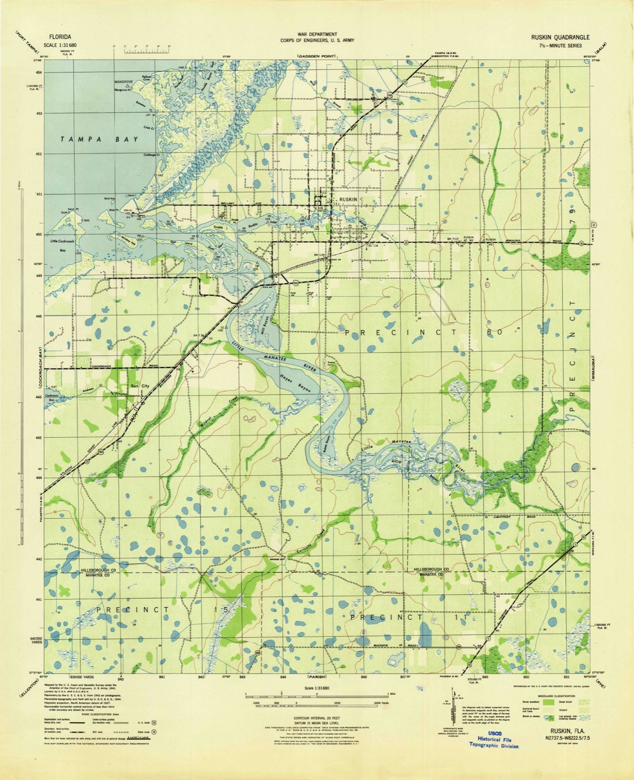
1944 to 1988The same ground, surveyed 44 years apart. Drag the handle to wipe between them. Both sheets are United States Geological Survey originals; neither has been altered.
On record in Gulf City
Buildings and businesses the archive holds for this place. Each opens its own page, with the source record it came from.
On the National Register within a mile 1 record
The National Register names another town for these. They stand within one mile of this settlement's coordinate.
- A.M. Lamb Houselisted 2007 · 0.9 miles away
Topographic sheets covering this place
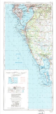
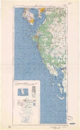
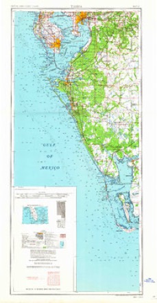
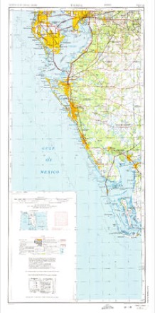
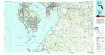
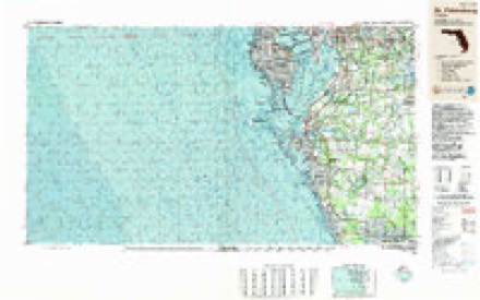
9 surveys from 14 printed sheetsMatched by testing this settlement's coordinate against the published boundary of every sheet in the United States Geological Survey's historical collection. Each opens the scanned sheet at the Survey.
- 1944 USGS Ruskin quadrangle1:31680
- 1947 USGS Ruskin quadrangle1:25000
- 1956 USGS Ruskin quadrangle1:24000, 4 printings
- 1956 USGS Tampa quadrangle1:250000, 2 printings
- 1959 USGS Tampa quadrangle1:250000
- 1960 USGS Tampa quadrangle1:250000, 2 printings
- 1972 USGS Tampa quadrangle1:250000
- 1981 USGS St Petersburg quadrangle1:100000
- 1988 USGS St Petersburg quadrangle1:250000
Fires near this place
82 since 1993Regional context, not property-specific evidence. The federal wildfire occurrence database lists 82 fires within 5 miles of Gulf City between 1993 and 2020, burning about 1,013 acres in total. 26 started naturally. 16 were recorded as arson. Distance is straight-line from the map coordinates, so a fire counted here may appear on a neighbouring settlement's page as well.
| Reported cause | Fires |
|---|---|
| Natural | 26 |
| Arson/incendiarism | 16 |
| Railroad operations and maintenance | 13 |
| Debris and open burning | 7 |
| Missing data/not specified/undetermined | 6 |
| Equipment and vehicle use | 5 |
| Recreation and ceremony | 3 |
| Power generation/transmission/distribution | 3 |
| Smoking | 1 |
| Fireworks | 1 |
| Misuse of fire by a minor | 1 |
The most recent of them, most recent first, with the day each was reported and the service that recorded it.
| Date | Cause | Size | Reported by | Name on the report |
|---|---|---|---|---|
| 3 September 2012 | Debris and open burning | under an acre | Florida Forest Service | VALROY PILE (29) |
| 22 September 2018 | Recreation and ceremony | under an acre | Florida Forest Service | 2ND STREET NE (29) |
| 17 September 2003 | Arson/incendiarism | 23 acres | Florida Forest Service | BABCOCK |
| 17 August 1997 | Natural | 3.0 acres | Florida Forest Service | not named |
| 13 August 2015 | Natural | 1.0 acres | Florida Forest Service | MORGAN FARM (29) |
| 1 August 2002 | Natural | 2.0 acres | Florida Forest Service | not named |
| 8 July 2014 | Fireworks | 4.0 acres | Florida Forest Service | 36TH STREET (29) |
| 30 July 1993 | Natural | 2.0 acres | Florida Forest Service | not named |
Settlements close enough to share some of these fires:
Mines and quarries near this place
8 within 5 milesRegional context, not property-specific evidence. The federal mineral resources record lists 8 workings within 5 miles of Gulf City: 7 producers, 1 unknown. 7 still produce. What was taken out: Limestone, General, Sand, Stone, Crushed/Broken. Distance is straight-line from the map coordinates, so a quarry counted here may appear on a neighbouring settlement's page as well.
| Where | Site | Commodity | Status | Recorded |
|---|---|---|---|---|
| Caloosa Shell Corp. - Concord Pit | Sand | Producer | ||
| Leisey Shell Corporation - Leisey Shell #2 | Sand | Producer | ||
| Leisey Shell Pit | Stone, Crushed/Broken | Producer | ||
| Nest Coast Shell Pit | Stone, Crushed/Broken | Producer | ||
| Chapman Contr. - Tampa Bay Shell Pit | Limestone, General | Producer | ||
| Dot - Ruskin Mine | Limestone, General | Unknown | Limestone | |
| Leisey Shell - Leisey Shell Pit | Limestone, General | Producer | Limestone | |
| Sun City Shell - Sun City Pit | Limestone, General | Producer | Limestone |
Storms near this place
5 since 2009Regional context, not property-specific evidence. The National Weather Service names Gulf City in 5 storm reports between 2009 and 2018: 3 flood, 1 dust devil, 1 tornado. No death or injury is recorded in these reports. Each account below is quoted exactly as the forecast office filed it, from the NOAA Storm Events Database, and each date opens the federal record of that event.
| When | Event | Place named | Harm | What the report says |
|---|---|---|---|---|
| September 2017 | Flood | Gulf City | $2,000,000 | Heavy rains from Hurricane Irma caused the Little Manatee River at Wimauma to rise above flood stage on the 10th, with flooding continuing through the 16th. The water level crested at 17.69 feet on the 12th, 0.69 feet above the major flooding threshold. ||The flood waters entered several mobile homes on 32nd and 33rd streets in Ruskin. Flood damage to homes was estimated at $2 million. |
| April 2018 | Tornado (EF0) | Gulf City | $50,000 | A brief and narrow damage track was found by an NWS storm survey crew, with scattered debris indicating an EF-0 tornado with a peak wind speed of 70 MPH. The tornado formed west-southwest of the US Highway 41 bridge that crosses the Little Manatee River in Ruskin, FL. The tornado traveled east northeast and caused EF-0 damage to the Paradise Mobile Home Park. Wind speeds were based on mobile home and tree damage. Damage consisted of mobile home roof damage (including a collapsed car port) along with 4-5 inch snapped oak limb and fence damage. Light weight debris was thrown several hundred feet. Additionally, a shed and large construction dumpster were also moved several feet in a different direction to debris. |
| September 2014 | Flood | Gulf City | $30,000 | Flooding of several manufactured homes begins on 32nd and 33rd street in Ruskin when the gauge on the Little Manatee River at Wimauma reaches 14.5 feet. Moderate flooding continued until October 3 and the maximum crest was 14.67 ft. About 10 other homes were cutoff as roads were inundated. This area floods one to five times a year and residents move vehicles and other valuables out of the area when flooding is expected. |
| March 2009 | Dust Devil | Gulf City | $5,000 | An aluminum overhang was torn off of a mobile home in Ruskin. There was flat cumulus and interviews with two eye witnesses both said there was rotation at the ground. It was determined this was a dust devil. |
| October 2014 | Flood | Gulf City | - | Flooding of several manufactured homes begins on 32nd and 3rd street in Ruskin when the gauge on the Little Manatee River at Wimauma reaches 14.5 feet. The maximum crest was 14.67 ft. About 10 other homes were cutoff as roads were inundated. This area floods one to five times a year and residents move vehicles and other valuables out of the area when flooding is expected. Damage of $30,000 was reported in September as moderate flooding began on the 28th. |
Nearest settlements
The eight closest, with where each one stands in the county. Distances are straight-line, computed from the Geographic Names Information System coordinates.
| Map | Place | Distance | Sheets |
|---|---|---|---|
| Ruskin | 1.8 miles | 14 | |
| Sun City | 2.1 miles | 14 | |
| Valroy | 4.8 miles | 18 | |
| North Ruskin | 5.4 miles | 18 | |
| Apollo Beach | 5.5 miles | 18 | |
| McQueens Village (historical) | 5.6 miles | 18 | |
| Sun City Center | 5.9 miles | 14 | |
| Fort Lonely | 6.3 miles | 18 |
Provenance
This settlement is recorded in the Geographic Names Information System as feature 283487. The sheet list is computed by point-in-boundary test against the United States Geological Survey's historical topographic inventory. Both are works of the United States government and carry no copyright under 17 U.S.C. 105.
Wildfire. Short, Karen C. 2022. Spatial wildfire occurrence data for the United States, 1992-2020 [FPA_FOD_20221014]. 6th Edition. Fort Collins, CO: Forest Service Research Data Archive. https://doi.org/10.2737/RDS-2013-0009.6 Collected with United States Government funding and usable without additional permissions or fees.
Mines and quarries. USGS Mineral Resources Data System (MRDS) https://mrdata.usgs.gov/mrds/ A work of the United States government, no copyright under 17 U.S.C. 105.
Storms. NOAA National Centers for Environmental Information, Storm Events Database https://www.ncei.noaa.gov/stormevents/ A work of the United States government, no copyright under 17 U.S.C. 105. Narratives are quoted verbatim from the National Weather Service report and are not edited or summarised.