 Block
BlockIndian Rocks Beach, Florida
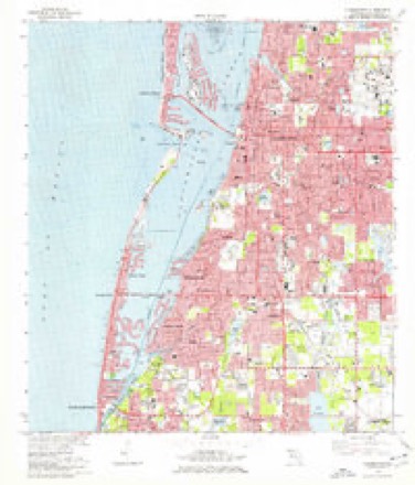
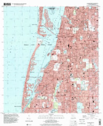
15 topographic sheets cover this place, the earliest surveyed in 1921 and the latest in 1995. It stands in the Clearwater census division. It lies in ZIP code area 33785. The Survey maps it on the Clearwater quadrangle. 3,673 people lived here at the 2020 count. It stands 10 feet above sea level.
Then and now
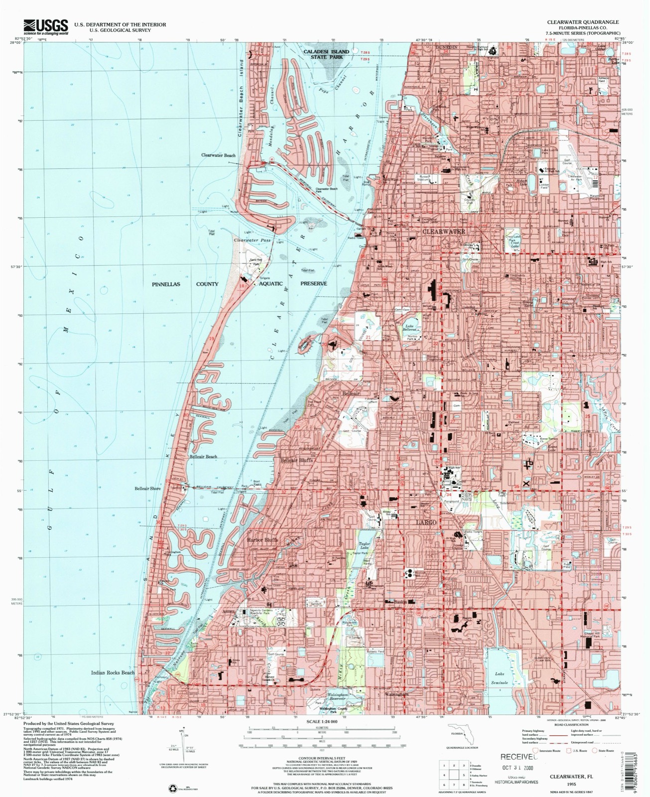
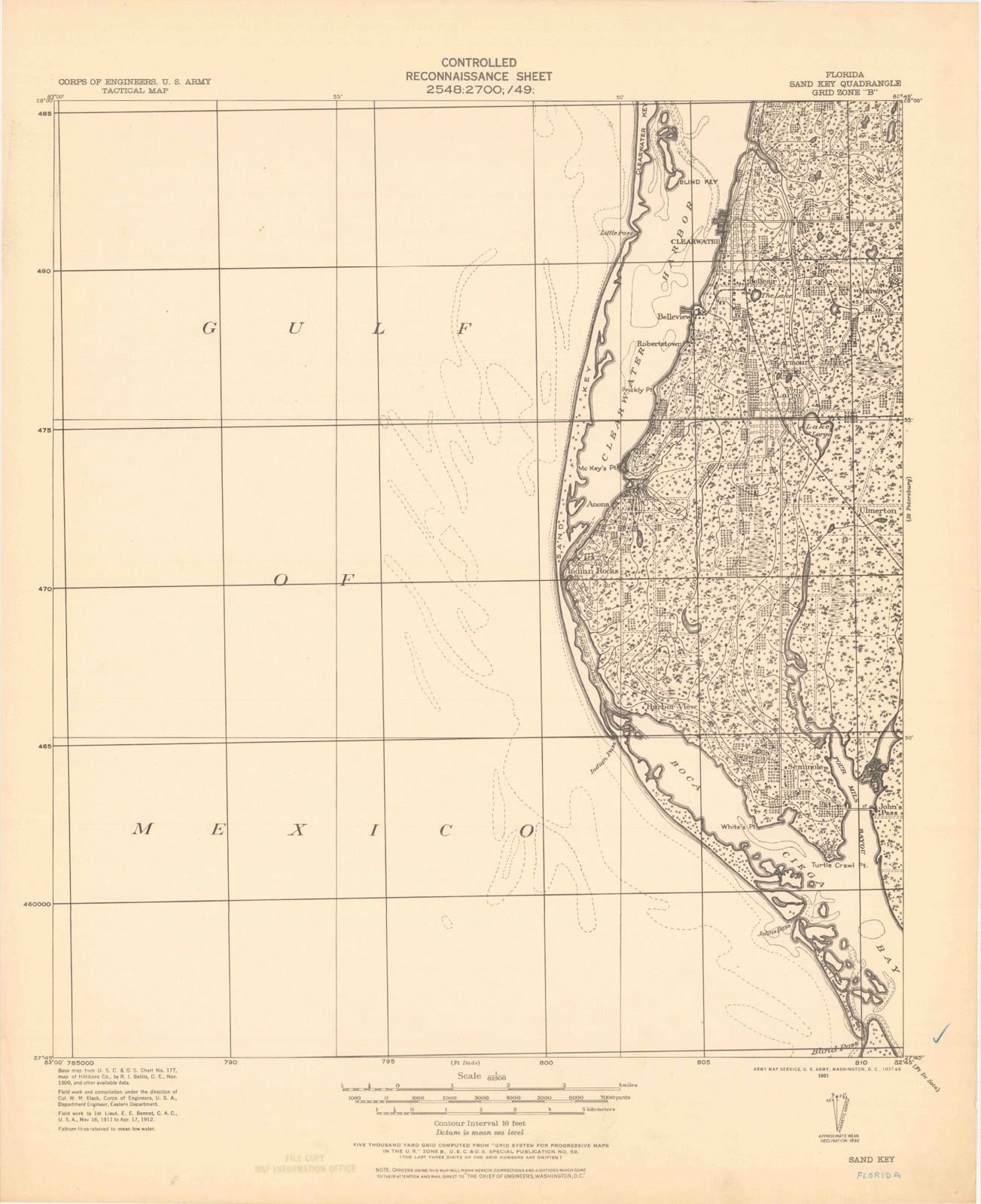
1921 to 1995The same ground, surveyed 74 years apart. Drag the handle to wipe between them. Both sheets are United States Geological Survey originals; neither has been altered.
Compare 1921 against another survey:
Population over time
2 figuresIndian Rocks Beach fell from 4,113 to 3,673 between 2010 and 2020. These are the recorded population figures Wikidata holds for this place, reached through the Geographic Names Information System number this page is keyed on rather than by name, so they belong to this place and not to another of the same name. Most are census counts, but not all are: an early figure may be a founding or settlement estimate, and an estimate published within five years of a census is left out. The change column is computed, and is left blank where more than 20 years separate a figure from the one before it, because a gap that long is not a change between two counts.
| Year | People | Change |
|---|---|---|
| 2010 | 4,113 | |
| 2020 | 3,673 | -440 (-11%) |
Topographic sheets covering this place
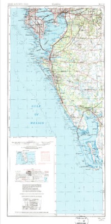
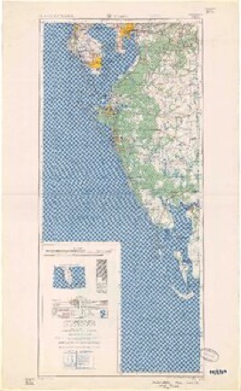
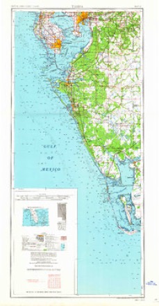
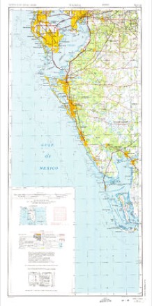
10 surveys from 15 printed sheetsMatched by testing this settlement's coordinate against the published boundary of every sheet in the United States Geological Survey's historical collection. Each opens the scanned sheet at the Survey.
- 1921 USGS Sand Key quadrangle1:62500
- 1943 USGS Clearwater quadrangle1:24000, 3 printings
- 1956 USGS Tampa quadrangle1:250000, 2 printings
- 1959 USGS Tampa quadrangle1:250000
- 1960 USGS Tampa quadrangle1:250000, 2 printings
- 1972 USGS Tampa quadrangle1:250000
- 1974 USGS Clearwater quadrangle1:24000, 2 printings
- 1981 USGS St Petersburg quadrangle1:100000
- 1988 USGS St Petersburg quadrangle1:250000
- 1995 USGS Clearwater quadrangle1:24000
Fires near this place
9 since 1993Regional context, not property-specific evidence. The federal wildfire occurrence database lists 9 fires within 5 miles of Indian Rocks Beach between 1993 and 2016, burning about 58 acres in total. 3 started naturally. 3 were recorded as arson. Distance is straight-line from the map coordinates, so a fire counted here may appear on a neighbouring settlement's page as well.
| Reported cause | Fires |
|---|---|
| Natural | 3 |
| Arson/incendiarism | 3 |
| Missing data/not specified/undetermined | 2 |
| Misuse of fire by a minor | 1 |
The most recent of them, most recent first, with the day each was reported and the service that recorded it.
| Date | Cause | Size | Reported by | Name on the report |
|---|---|---|---|---|
| 4 July 2015 | Natural | 7.0 acres | Florida Forest Service | SEMINOLE (52) |
| 13 July 1993 | Natural | 20 acres | Florida Forest Service | not named |
| 14 June 1993 | Natural | 1.0 acres | Florida Forest Service | not named |
| 3 April 2006 | Missing data/not specified/undetermined | 10 acres | Florida Forest Service | 52 SEMINOLE PARK |
| 14 April 2006 | Arson/incendiarism | 5.0 acres | Florida Forest Service | 52 102ND |
| 26 March 2006 | Missing data/not specified/undetermined | 2.5 acres | Florida Forest Service | 52 WALSINGHAM |
| 20 March 1996 | Misuse of fire by a minor | 2.0 acres | Florida Forest Service | not named |
| 10 March 2016 | Arson/incendiarism | 10 acres | Florida Forest Service | WALSINGHAM ROAD (52) ** |
Settlements close enough to share some of these fires:
Storms near this place
16 since 1993Regional context, not property-specific evidence. The National Weather Service names Indian Rocks Beach in 16 storm reports between 1993 and 2018: 5 thunderstorm wind, 4 tornado, 2 waterspout, 2 heavy rain. The reports record 1 death and 4 injuries. Each account below is quoted exactly as the forecast office filed it, from the NOAA Storm Events Database, and each date opens the federal record of that event.
| When | Event | Place named | Harm | What the report says |
|---|---|---|---|---|
| June 2012 | Heavy Rain | Indian Rocks Beach | 1 killed | Heavy rain caused minor flooding in Indian Rocks Beach. A 71 year old man died after suffering a heart attack while standing in less than a foot of water in his front yard and could not remove himself from the water. The medical examiner determined that the cause of death was drowning, with heart disease as a contributing factor. |
| October 1997 | Tornado (F1) | Indian Rocks Beach | 4 hurt, $4,500,000 | A tornado touched down near State Road 699 (Gulf Boulevard) and 6th Avenue, moved northeast and dissipated near the intersection of County Road 590 and Old Coachman Road. The tornado left thousands of electrical customers without power, knocked down numerous trees, caused several roofs to collapse and shattered windows from Indian Rocks Beach northeast through Largo and primarily in Clearwater.Damage from the tornado totalled $4.5 million dollars. From Indian Rocks Beach, through Largo to Clearwater, 190 buildings received damage from the tornado. Four million dollars of the damage occurred to properties in Clearwater, $300,000 in Indian Rocks Beach, and $200,000 in Largo.The tornado caused major damage to 19 homes while another 135 suffered minor damage. Sixteen apartment buildings incurred major damage while ten others suffered minor damage from the tornadic wind. Also, eleven businesses and a high school gym in Clearwater suffered minor to moderate damage. |
| March 2011 | Tornado (EF1) | Indian Rocks Beach | $750,000 | A waterspout moved onshore as a tornado and destroyed the second floor of a 3,600 square foot multiple occupancy home. Power lines and poles were snapped adjacent to the home. The tornado lifted before reaching the intercostal. |
| June 2012 | Tornado (EF1) | Indian Rocks Beach | $130,000 | A tornado damaged 21 structures including mobile homes, car ports, billboards and trees. One block home lost part of the roof and debris blocked Walsingham Road near Hamlin Boulevard. |
| June 1999 | Thunderstorm Wind | Indian Rocks Beach | $75,000 | The Pinellas County Sheriffs Department reported that thunderstorm winds caused moderate roof damage to a commercial building in Indian Rocks Beach and another in Largo. |
| February 1998 | Thunderstorm Wind | Indian Rocks Beach | $50,000 | Thunderstorm winds caused minor to moderate damage to a few homes and downed a few trees in Indian Rocks Beach and Belleair Beach. A cable television meteorologist estimated winds from the thunderstorm to be between 65 and 70 mph while he conducted an outdoor weathercast from Indian Rocks Beach. |
| September 2013 | Thunderstorm Wind | Indian Rocks Beach | $25,000 | Broadcast media relayed a report of wind damage to homes and an apartment building around Bay Street SE and 20th Avenue in Indian Rocks Beach. A section of roof was blown off the apartment building on Bay Street SE and onto a road, and several trees and telephone poles were knocked down. Additionally, property damage reported on 20th Avenue included a porch, a lanai, a roof, and a stop sign. Time was estimated based off radar. |
| July 2018 | Lightning | Indian Rocks Beach | $10,000 | A lightning strike was reported to a home in the Indian Rocks Beach area, damaging a DVD player and leaving a mark on the floor. The fire department did not find any additional damage or fires. |
| February 1998 | Thunderstorm Wind | Indian Rocks Beach | $10,000 | Thunderstorm winds of up to 70 mph downed several large branches in Indian Rocks Beach. A few homes had roof and tile damage from the thunderstorm wind. |
| August 2016 | Flood | Indian Rocks Beach | - | Excessive rainfall from a deeply moist environment ahead of Hurricane Hermine led to numerous reports of street flooding in southern and central Pinellas County. Cars were reported to be stalled in high water at 54th Avenue and Interstate 275, and additional flooding was reported in Saint Petersburg, Gulfport, and Indian Rocks Beach. |
| March 2014 | Tornado (EF0) | Indian Rocks Beach | - | A social media report was received of a waterspout moving onshore at Indian Shores. The tornado quickly dissipated without causing significant damage. |
| May 2011 | Thunderstorm Wind | Indian Rocks Beach | - | A home weather station measured a wind gust of 72 mph in Indian Rocks Beach. |
| September 2011 | Heavy Rain | Indian Rocks Beach | - | A trained spotter reported street flooding near the intersection of Ulmerton Road and Gulf Boulevard due to heavy rains. |
| May 1997 | Waterspout | Indian Rocks Beach | - | A waterspout formed and quickly dissipated offshore of Indian Rocks Beach. |
| September 1993 | Hail | Indian Rocks Beach | - | Quarter-size hail fell. |
| July 1998 | Waterspout | Indian Rocks Beach | - | no account filed |
Nearest settlements
The eight closest, with where each one stands in the county. Distances are straight-line, computed from the Geographic Names Information System coordinates.
| Map | Place | Distance | Sheets |
|---|---|---|---|
| Indian Spring Estates | 0.5 miles | 15 | |
| Indian Shores | 0.9 miles | 15 | |
| Oakhurst Acres | 1.1 miles | 15 | |
| Anona | 1.8 miles | 15 | |
| Orange Terrace | 1.8 miles | 15 | |
| Oakhurst Terrace | 2.1 miles | 15 | |
| Habor Bluffs | 2.6 miles | 15 | |
| Harbor Bluffs | 2.7 miles | 15 |
Elsewhere
Matched on this settlement's Geographic Names Information System number rather than its name, so it cannot be a different place of the same name in another state.
| Wikipedia article on Indian Rocks Beach | An encyclopaedic summary. Its text is share-alike, so it is linked here rather than copied. |
| Wikidata item Q992514 | The structured record the population and elevation above come from. Public domain (CC0). |
Provenance
This settlement is recorded in the Geographic Names Information System as feature 284535. The sheet list is computed by point-in-boundary test against the United States Geological Survey's historical topographic inventory. Both are works of the United States government and carry no copyright under 17 U.S.C. 105.
Wildfire. Short, Karen C. 2022. Spatial wildfire occurrence data for the United States, 1992-2020 [FPA_FOD_20221014]. 6th Edition. Fort Collins, CO: Forest Service Research Data Archive. https://doi.org/10.2737/RDS-2013-0009.6 Collected with United States Government funding and usable without additional permissions or fees.
Storms. NOAA National Centers for Environmental Information, Storm Events Database https://www.ncei.noaa.gov/stormevents/ A work of the United States government, no copyright under 17 U.S.C. 105. Narratives are quoted verbatim from the National Weather Service report and are not edited or summarised.