 Block
BlockInlet Beach, Florida
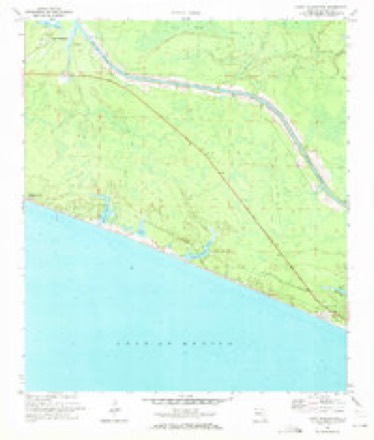
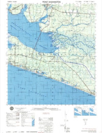
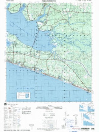
17 topographic sheets cover this place, the earliest surveyed in 1936 and the latest in 1996. It stands in the Walton Beaches census division. It lies in ZIP code area 32461. The Survey maps it on the Point Washington quadrangle. It stands 30 feet above sea level.
Then and now
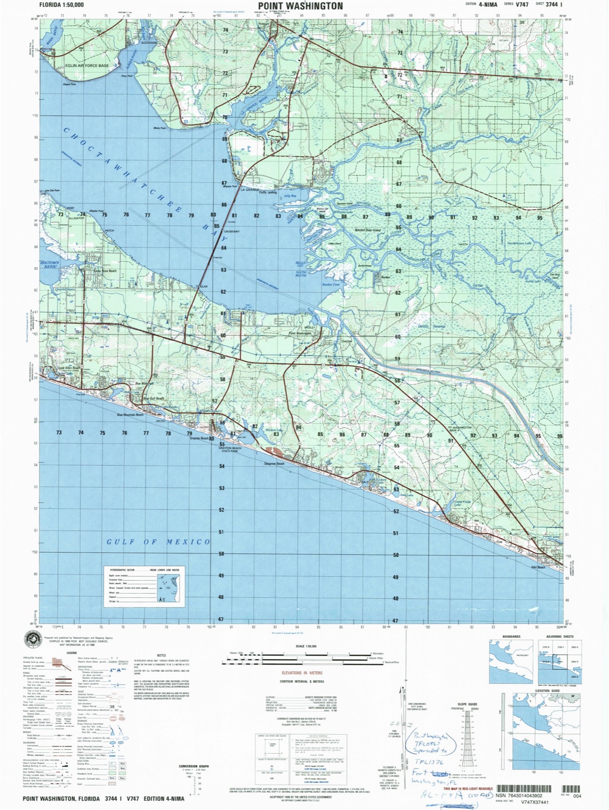
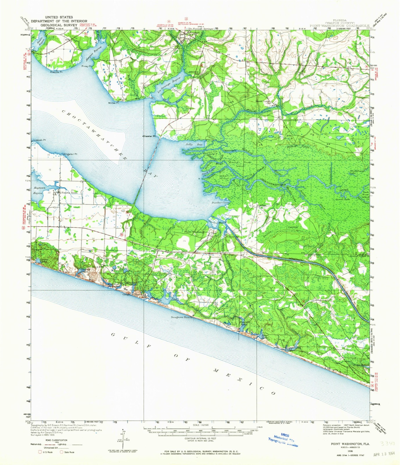
1936 to 1996The same ground, surveyed 60 years apart. Drag the handle to wipe between them. Both sheets are United States Geological Survey originals; neither has been altered.
Compare 1936 against another survey:
Topographic sheets covering this place
10 surveys from 17 printed sheetsMatched by testing this settlement's coordinate against the published boundary of every sheet in the United States Geological Survey's historical collection. Each opens the scanned sheet at the Survey.
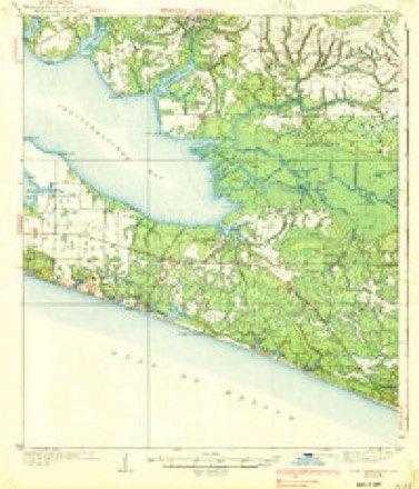
- 1936 USGS Point Washington quadrangle1:62500
- 1936 USGS Point Washington quadrangle1:48000
- 1939 USGS Point Washington quadrangle1:62500, 3 printings
- 1957 USGS Pensacola quadrangle1:250000, 3 printings
- 1959 USGS Pensacola quadrangle1:250000
- 1960 USGS Pensacola quadrangle1:250000
- 1970 USGS Point Washington quadrangle1:24000, 3 printings
- 1974 USGS Point Washington quadrangle1:50000
- 1978 USGS Fort Walton Beach quadrangle1:100000, 2 printings
- 1996 USGS Point Washington quadrangle1:50000
Fires near this place
69 since 1992Regional context, not property-specific evidence. The federal wildfire occurrence database lists 69 fires within 5 miles of Inlet Beach between 1992 and 2020, burning about 855 acres in total. 19 started naturally. 4 were recorded as arson. Distance is straight-line from the map coordinates, so a fire counted here may appear on a neighbouring settlement's page as well.
| Reported cause | Fires |
|---|---|
| Natural | 19 |
| Missing data/not specified/undetermined | 13 |
| Equipment and vehicle use | 13 |
| Debris and open burning | 9 |
| Misuse of fire by a minor | 5 |
| Arson/incendiarism | 4 |
| Smoking | 3 |
| Railroad operations and maintenance | 2 |
| Recreation and ceremony | 1 |
The most recent of them, most recent first, with the day each was reported and the service that recorded it.
| Date | Cause | Size | Reported by | Name on the report |
|---|---|---|---|---|
| 7 September 1997 | Missing data/not specified/undetermined | 2.0 acres | Florida Forest Service | not named |
| 15 September 1997 | Equipment and vehicle use | 60 acres | Florida Forest Service | not named |
| 10 September 1997 | Misuse of fire by a minor | under an acre | Florida Forest Service | not named |
| 9 August 1994 | Missing data/not specified/undetermined | under an acre | Florida Forest Service | not named |
| 8 August 2000 | Misuse of fire by a minor | under an acre | Florida Forest Service | not named |
| 31 August 1997 | Natural | 90 acres | Florida Forest Service | not named |
| 31 August 1997 | Natural | 70 acres | Florida Forest Service | not named |
| 31 August 1997 | Equipment and vehicle use | 35 acres | Florida Forest Service | not named |
Settlements close enough to share some of these fires:
Mines and quarries near this place
3 within 5 milesRegional context, not property-specific evidence. The federal mineral resources record lists 3 workings within 5 miles of Inlet Beach: 1 occurrence, 1 unknown, 1 prospect. None of them still produces. What was taken out: Titanium-Heavy Minerals, Zirconium, Sand, Sand and Gravel, Construction. Distance is straight-line from the map coordinates, so a quarry counted here may appear on a neighbouring settlement's page as well.
| Where | Site | Commodity | Status | Recorded |
|---|---|---|---|---|
| Bay-Walton Services, L. C. - Beaches Mine | Sand | Unknown | ||
| Panama City-Phillips Inlet Placer | Titanium-Heavy Minerals, Zirconium | Occurrence | Staurolite, Kyanite, Zircon, Rutile, Leucoxene, Ilmenite | |
| Unnamed Sand Deposit | Sand and Gravel, Construction | Prospect |
Storms near this place
15 since 1996Regional context, not property-specific evidence. The National Weather Service names Inlet Beach in 15 storm reports between 1996 and 2021: 4 lightning, 4 thunderstorm wind, 3 rip current, 2 flash flood. The reports record 8 deaths. Each account below is quoted exactly as the forecast office filed it, from the NOAA Storm Events Database, and each date opens the federal record of that event.
| When | Event | Place named | Harm | What the report says |
|---|---|---|---|---|
| June 2003 | Rip Current | Inlet Beach | 6 killed | At least 28 people were rescued from rough surf off the Walton County beaches. Six persons drowned. Reported by the Walton County EMA. |
| July 1996 | Rip Current | Inlet Beach | 1 killed | no account filed |
| July 1996 | Rip Current | Inlet Beach | 1 killed | no account filed |
| August 2012 | Lightning | Inlet Beach | $1,600,000 | The South Walton Fire District (SWFD) received a call at 9:00 a.m. CDT reporting a structure fire at 145 Paradise By the Sea Blvd in the Inlet Beach area. Reports from the neighbors indicated that there was an early morning thunderstorm with severe lightning. Sometime close to 5:30 a.m. CDT neighbors stated they witnessed lightning strike near this residence. It wasn't until 3.5 hours later that smoke and flames were reported coming from this 3 story, (est.) 12,000 sq. ft. beach front home. Within minutes of receiving the initial 9-1-1 call, SWFD units arrived on scene and found fire coming from the third floor roof area. Prior to arrival, it was determined that fire had spread throughout the sub-floors making extinguishment difficult. Despite that, SWFD crews were able to minimize the fire damage and bring the scene under control within an hour of the initial call. The residence was valued at an estimated $9.6 million dollars with damage to the structure and contents estimated at $1.6 million dollars. The owners were not home at the time of the fire and there were no injuries to report. The fire was investigated by the SWFD Fire Marshal and the Florida State Fire Marshals Office. |
| July 2018 | Lightning | Inlet Beach | $25,000 | A structure fire due to lightning occurred in the Watersound Origins area. Damage was estimated in the $20-30 thousand range as reported by the South Walton Fire District facebook page. |
| June 2016 | Lightning | Inlet Beach | $10,000 | Lightning struck a home at 26 Dill Lane with damage to the home reported. Damage was estimated. |
| August 2012 | Lightning | Inlet Beach | $10,000 | Lightning caused a fire to a home in Inlet Beach. The fire remained confined to the attic but resulted in significant damage. Monetary damage was estimated. |
| February 2016 | Thunderstorm Wind | Inlet Beach | $5,000 | A high tension power line was blown down on Highway 98 near Breakers Street resulting in a large power outage. |
| November 2014 | Thunderstorm Wind | Inlet Beach | $1,000 | Power flashes were witnessed near Inlet Beach. |
| April 2021 | Thunderstorm Wind | Inlet Beach | - | The Inlet Beach WeatherSTEM station measured a wind gust of 64 mph. |
| August 2021 | Thunderstorm Wind | Inlet Beach | - | Wind gusts were estimated near 60 mph in the Inlet Beach area. |
| June 2017 | Flood | Inlet Beach | - | Beach access was washed out at 264 South Wall Street. |
| July 2013 | Flash Flood | Inlet Beach | - | Water was flowing over Church Street at an estimated depth of 8-10 inches just north of U.S. Highway 98. Water was also reported over about a dozen other roads in Walton via the Walton Alert facebook page. |
| May 2012 | Funnel Cloud | Inlet Beach | - | A rapidly rotating wall cloud was observed with a brief, rain-wrapped funnel cloud. |
| January 2010 | Flash Flood | Inlet Beach | - | Heavy rain produced flash flooding over many areas across northwest FL and the adjacent panhandle. Wakulla county reported 6-7 inches of rain during the mid to late morning, with 3-6 inches across most of the region beginning late Wednesday night (Jan. 20th). There were widespread reports of flooded roadways, with water in some homes in Wakulla county. FSU campus in Tallahassee reported 50-60 cars flooded. Two hikers were stranded and clinging to trees along the Florida Trail near Freeport in Walton county. |
Nearest settlements
The eight closest, with where each one stands in the county. Distances are straight-line, computed from the Geographic Names Information System coordinates.
| Map | Place | Distance | Sheets |
|---|---|---|---|
| Rosemary Beach | 0.5 miles | 17 | |
| Seacrest Beach | 0.8 miles | 17 | |
| Alys Beach | 1.3 miles | 17 | |
| Seacrest | 1.9 miles | 17 | |
| Seagrove Beach | 7.1 miles | 17 | |
| Seaside | 7.7 miles | 17 | |
| Watercolor | 7.9 miles | 17 | |
| Choctaw | 8.1 miles | 17 |
Elsewhere
Matched on this settlement's Geographic Names Information System number rather than its name, so it cannot be a different place of the same name in another state.
| Wikipedia article on Inlet Beach | An encyclopaedic summary. Its text is share-alike, so it is linked here rather than copied. |
| Wikidata item Q6034920 | The structured record the population and elevation above come from. Public domain (CC0). |
Provenance
This settlement is recorded in the Geographic Names Information System as feature 284551. The sheet list is computed by point-in-boundary test against the United States Geological Survey's historical topographic inventory. Both are works of the United States government and carry no copyright under 17 U.S.C. 105.
Wildfire. Short, Karen C. 2022. Spatial wildfire occurrence data for the United States, 1992-2020 [FPA_FOD_20221014]. 6th Edition. Fort Collins, CO: Forest Service Research Data Archive. https://doi.org/10.2737/RDS-2013-0009.6 Collected with United States Government funding and usable without additional permissions or fees.
Mines and quarries. USGS Mineral Resources Data System (MRDS) https://mrdata.usgs.gov/mrds/ A work of the United States government, no copyright under 17 U.S.C. 105.
Storms. NOAA National Centers for Environmental Information, Storm Events Database https://www.ncei.noaa.gov/stormevents/ A work of the United States government, no copyright under 17 U.S.C. 105. Narratives are quoted verbatim from the National Weather Service report and are not edited or summarised.