 Block
BlockKendall, Florida
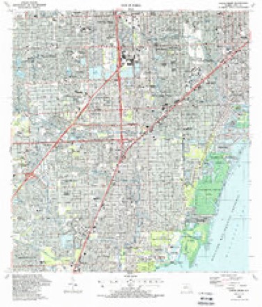
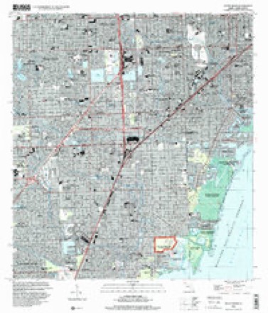
14 topographic sheets cover this place, the earliest surveyed in 1950 and the latest in 1994. It stands in the Kendall-Palmetto Bay census division. It lies in ZIP code area 33156. The Survey maps it on the South Miami quadrangle. 80,241 people lived here at the 2020 count. It stands 3 feet above sea level.
Then and now
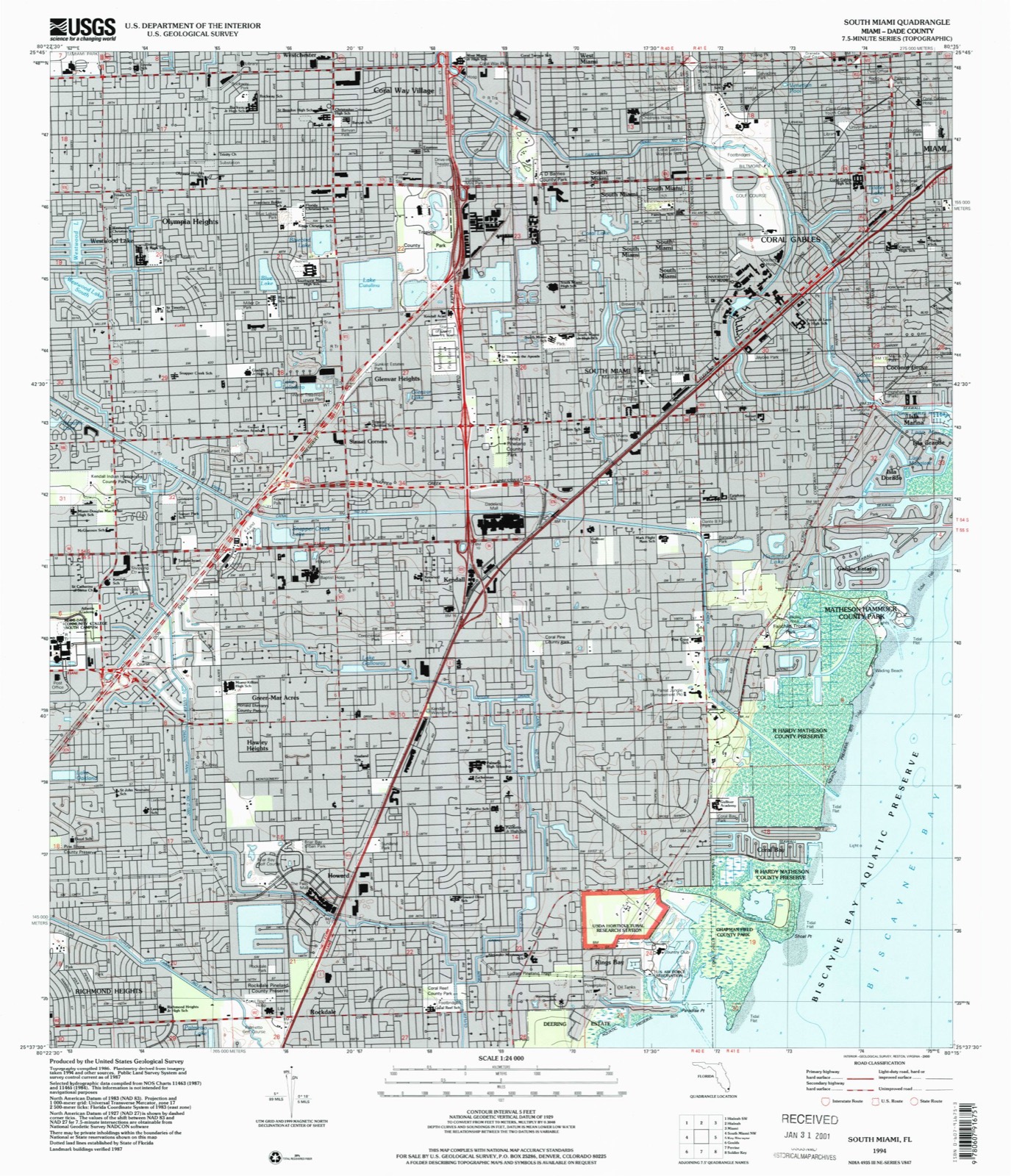
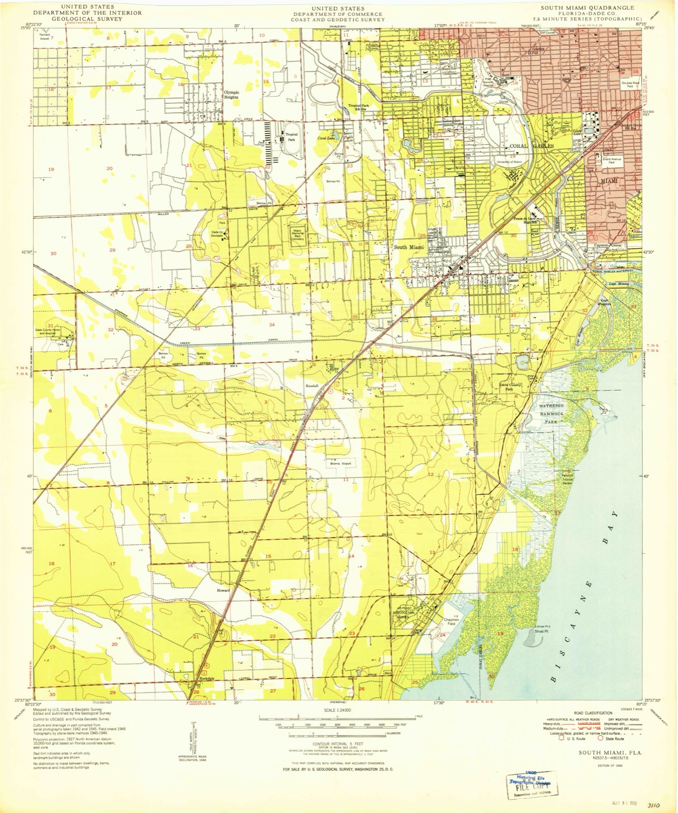
1950 to 1994The same ground, surveyed 44 years apart. Drag the handle to wipe between them. Both sheets are United States Geological Survey originals; neither has been altered.
Compare 1950 against another survey:
Population over time
2 figuresKendall grew from 75,371 to 80,241 between 2010 and 2020. These are the recorded population figures Wikidata holds for this place, reached through the Geographic Names Information System number this page is keyed on rather than by name, so they belong to this place and not to another of the same name. Most are census counts, but not all are: an early figure may be a founding or settlement estimate, and an estimate published within five years of a census is left out. The change column is computed, and is left blank where more than 20 years separate a figure from the one before it, because a gap that long is not a change between two counts.
| Year | People | Change |
|---|---|---|
| 2010 | 75,371 | |
| 2020 | 80,241 | +4,870 (+6%) |
Topographic sheets covering this place
8 surveys from 14 printed sheetsMatched by testing this settlement's coordinate against the published boundary of every sheet in the United States Geological Survey's historical collection. Each opens the scanned sheet at the Survey.
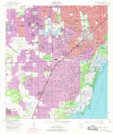
- 1950 USGS South Miami quadrangle1:24000, 2 printings
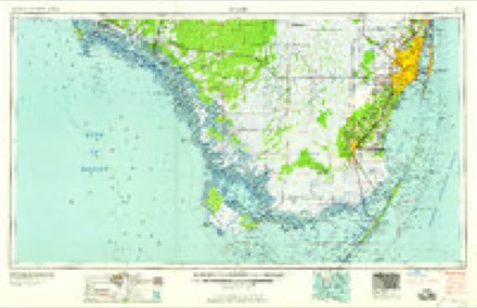
- 1956 USGS Miami quadrangle1:250000, 5 printings
- 1956 USGS South Miami quadrangle1:24000, 2 printings
- 1958 USGS Miami quadrangle1:250000
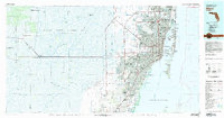
- 1981 USGS Miami quadrangle1:100000
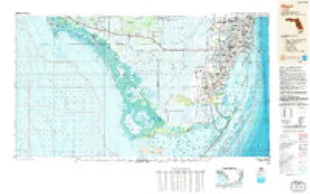
- 1988 USGS Miami quadrangle1:250000
- 1988 USGS South Miami quadrangle1:24000
- 1994 USGS South Miami quadrangle1:24000
Fires near this place
53 since 1992Regional context, not property-specific evidence. The federal wildfire occurrence database lists 53 fires within 5 miles of Kendall between 1992 and 2020, burning about 564 acres in total. 1 started naturally. 13 were recorded as arson. Distance is straight-line from the map coordinates, so a fire counted here may appear on a neighbouring settlement's page as well.
| Reported cause | Fires |
|---|---|
| Misuse of fire by a minor | 15 |
| Railroad operations and maintenance | 13 |
| Arson/incendiarism | 13 |
| Equipment and vehicle use | 5 |
| Missing data/not specified/undetermined | 3 |
| Debris and open burning | 2 |
| Natural | 1 |
| Smoking | 1 |
The most recent of them, most recent first, with the day each was reported and the service that recorded it.
| Date | Cause | Size | Reported by | Name on the report |
|---|---|---|---|---|
| 17 August 1997 | Equipment and vehicle use | 1.0 acres | Florida Forest Service | not named |
| 30 July 1992 | Railroad operations and maintenance | 1.0 acres | Florida Forest Service | not named |
| 13 July 1994 | Misuse of fire by a minor | 20 acres | Florida Forest Service | not named |
| 12 July 2011 | Natural | 5.0 acres | Florida Forest Service | CORAL REEF (13) |
| 12 July 1994 | Railroad operations and maintenance | 5.0 acres | Florida Forest Service | not named |
| 14 June 2015 | Arson/incendiarism | 2.0 acres | Florida Forest Service | DEERING PRESERVE (13) |
| 14 June 2011 | Arson/incendiarism | 4.0 acres | Florida Forest Service | SUNSET (13) |
| 12 June 1998 | Arson/incendiarism | 15 acres | Florida Forest Service | not named |
Settlements close enough to share some of these fires:
Mines and quarries near this place
3 within 5 milesRegional context, not property-specific evidence. The federal mineral resources record lists 3 workings within 5 miles of Kendall: 3 past producers. None of them still produces. What was taken out: Stone, Crushed/Broken. Distance is straight-line from the map coordinates, so a quarry counted here may appear on a neighbouring settlement's page as well.
| Where | Site | Commodity | Status | Recorded |
|---|---|---|---|---|
| Kendall Limestone Quarry | Stone, Crushed/Broken | Past Producer | ||
| Oolite Rock Limestone Quarry | Stone, Crushed/Broken | Past Producer | ||
| Tropical Limestone Pit | Stone, Crushed/Broken | Past Producer |
Storms near this place
58 since 1997Regional context, not property-specific evidence. The National Weather Service names Kendall in 58 storm reports between 1997 and 2025: 19 thunderstorm wind, 18 hail, 9 funnel cloud, 4 lightning. The reports record 1 death and 2 injuries. Each account below is quoted exactly as the forecast office filed it, from the NOAA Storm Events Database, and each date opens the federal record of that event.
| When | Event | Place named | Harm | What the report says |
|---|---|---|---|---|
| June 2007 | Lightning | Kendall | 1 killed | Lightning struck and killed a 41-year-old man who was doing landscape work at a home at 10500 SW 62 Ave in Pinecrest. The man was under a tree when the lightning struck. ||It was not raining at the location of the lightning strike, although a thunderstorm was located about 2 to 3 miles to the north. The media reported this incident as dry lightning striking out of a clear sky, although the lightning bolt likely originated out of the side of the nearby storm. |
| May 2005 | Lightning | Kendall | 1 hurt | A 13-year-old boy was injured while touching a metal fence when lightning struck nearby. |
| May 1999 | Lightning | Kendall | 1 hurt | no account filed |
| September 2004 | Flash Flood | Kendall | $50,000 | Extensive street flooding was observed with depths up to eighteen inches. Some minor flooding of residences occurred. |
| November 2006 | Heavy Rain | Kendall | $20,000 | Heavy rains which swept across the area during the very early morning hours caused the flooding of 102 units in the Cherry Grove Village apartments in Kendall. |The buildings were being refurbished and water entered from balconies into uncovered window openings. Nearly 200 residents were displaced. |
| June 2004 | Thunderstorm Wind | Kendall | $10,000 | no account filed |
| May 2024 | Thunderstorm Wind | Kendall | $5,000 | A member of the public reported a downed power pole after a severe thunderstorm moved through the area. |
| July 2008 | Thunderstorm Wind | Kendall | $5,000 | A thunderstorm produced damage in the Pinecrest area during the mid morning hours by moving a 20 foot wide fruit stand, downing two trees with one foot diameter trunks, blowing around pool furniture, and knocking down a section of fence. ||Damage was confined to a very small area, leading to believe that the cause was either downburst winds or a gustnado. |
| May 2025 | Thunderstorm Wind | Kendall | $1,000 | A tree downed on a powerline was relayed by a media reporter in the field associated with a strong thunderstorm near South Miami. |
| July 2015 | Lightning | Kendall | $1,000 | Lightning struck the roof of the Greenway Mall at approximately 3:30 PM EDT, resulting in a fire at TJMAXX. There were no injuries reported. |
| April 1999 | Thunderstorm Wind | Kendall | $1,000 | no account filed |
| September 2021 | Thunderstorm Wind | Kendall | $500 | A member of the public reported via pictures a large tree uprooted near U.S. 1 and SW 120 Street in Kendall. Radar estimated winds were at least 45 to 50 mph in the area. |
| March 2025 | Flood | Kendall | - | An off-duty federal meteorologist reported street flooding near Kendall Drive and SW 87th Ave. |
| May 2024 | Hail | Kendall | - | A member of the public reported 1.5-inch diameter (ping pong ball sized) hail near Kendall after a severe thunderstorm moved through the area. |
| May 2024 | Hail | Kendall | - | A social media video showed 1-inch diameter (quarter sized) hail in Pinecrest after a severe thunderstorm moved through the area. |
| May 2024 | Thunderstorm Wind | Kendall | - | A member of the public reported a downed palm tree after a thunderstorm moved through the area. |
| May 2024 | Hail | Kendall | - | A trained spotter reported 0.88-inch diameter (nickel sized) hail after a thunderstorm moved through the area. |
| November 2022 | Flood | Kendall | - | Reports of standing water due to several rounds of heavy rainfall were received from the Village of Pinecrest, mainly in the Pinecrest by the Sea neighborhood. Rainfall totals of 5 to 7 inches were observed in the area. |
| April 2022 | Hail | Kendall | - | Trained spotter reported quarter-sized hail near Baptist Hospital in Kendall. |
| May 2020 | Thunderstorm Wind | Kendall | - | The public reported multiple softwood trees down in their backyard in the Glenvar Heights/South Miami area via social media. Wind gust estimated based off radar at approximately 42 mph (36 kt), but were likely higher on the ground. Small hail (approximately 0.50 inches, estimated) was also reported with this thunderstorm. |
| September 2015 | Hail | Kendall | - | A report of penny-sized hail and strong winds was reported via social media. |
| September 2015 | Thunderstorm Wind | Kendall | - | An off-duty NWS employee reported a very large Mahogany tree branch off at SW 107th Court and SW 99th Street on the east side of Miami Dade College Kendall Campus. |
| September 2015 | Thunderstorm Wind | Kendall | - | A large tree was uprooted near SW 106th Avenue and SW 99th St. |
| September 2015 | Heavy Rain | Kendall | - | Several streets in Kendall and South Miami were impassable due to water up to 2 feet deep in places from a heavy thunderstorm. Reports of numerous cars stalled across the area were received via social media and broadcast media, with most of the reports coming from the Kings Creek community north of Kendall Drive and west of the Palmetto Expressway. Miami Doppler radar estimated nearly four inches of rain in a short amount of time had occurred. |
| July 2013 | Funnel Cloud | Kendall | - | An off duty NWS employee reported a funnel cloud east-southeast of Kendall Regional Medical Center. |
| April 2011 | Hail | Kendall | - | A member of the public reported quarter-sized hail near the intersection of SW 70th Street and SW 85th Avenue in Kendall. |
| April 2011 | Hail | Kendall | - | A member of the public reported nickel-sized hail at the intersection of Miller Road and SW 87th Avenue. |
| June 2006 | Funnel Cloud | Kendall | - | Two separate funnel cloud reports received in the Kendall area, one near the Turnpike and Miller Drive and the other near Tamiami Airport. |
| July 2005 | Thunderstorm Wind | Kendall | - | A tree was uprooted by a thunderstorm wind gust. |
| June 2005 | Thunderstorm Wind | Kendall | - | The ASOS at Tamiami Airport recorded a thunderstorm-related wind gust of 61 mph. |
| May 2005 | Thunderstorm Wind | Kendall | - | Thunderstorm winds blew down large tree limbs. |
| August 2005 | Funnel Cloud | Kendall | - | A funnel cloud was seen near Metro Zoo. |
| August 2005 | Funnel Cloud | Kendall | - | A funnel cloud was seen near SW 88th Street and 137th Avenue. |
| July 2004 | Hail | Kendall | - | A SKYWARN spotter saw penny-size hail near SW 80 Street and 137 Avenue. |
| July 2004 | Hail | Kendall | - | Hail three-quarters of an inch in diameter was reported. Thunderstorm winds caused power outages to about 16,000 customers in Miami-Dade County. |
| July 2004 | Thunderstorm Wind | Kendall | - | A SKYWARN spotter estimated a thunderstorm wind gust of 65 mph. |
| March 2003 | Hail | Kendall | - | A SKYWARN spotter reported 3/4 inch hail. |
| April 2003 | Thunderstorm Wind | Kendall | - | A thunderstorm wind gust of 58 mph was estimated near Kendall Drive and 157 Avenue. |
| March 2003 | Hail | Kendall | - | Hail ranging in diameter from penny to nickel-size fell in areas from West Kendall to Westchester. |
| September 2003 | Tornado (F0) | Kendall | - | An off duty National Weather Service meteorologist playing golf on the Palmetto Golf Course, saw a tornado form near the Metro Zoo and move toward the east northeast. No damage was observed. |
| May 2002 | Funnel Cloud | Kendall | - | Several SKYWARN spotters observed funnel clouds. |
| August 2002 | Thunderstorm Wind | Kendall | - | A thunderstorm wind gust of 72 mph was estimated by the public. |
| March 2001 | Hail | Kendall | - | Hail the size of nickels, quarters and golf balls were reported in several locations. |
| July 2000 | Hail | Kendall | - | Dime-size hail reported. |
| October 2000 | Tornado (F0) | Kendall | - | A SKYWARN spotter reported a brief tornado touchdown near Kendall Drive and the Florida Turnpike Extension. |
| August 1998 | Thunderstorm Wind | Kendall | - | Trees blown down near SW 104 ST and SW 137 AVE. |
| July 1997 | Thunderstorm Wind | Kendall | - | trees and power lines down...marble sized hail. |
| August 1997 | Funnel Cloud | Kendall | - | funnel cloud spotted 6nm s of ktmb. |
| May 2005 | Thunderstorm Wind | Kendall | - | no account filed |
| May 2005 | Hail | Kendall | - | no account filed |
| June 2004 | Hail | Kendall | - | no account filed |
| May 2000 | Hail | Kendall | - | no account filed |
| April 2000 | Funnel Cloud | Kendall | - | no account filed |
| September 2000 | Funnel Cloud | Kendall | - | no account filed |
| August 2000 | Funnel Cloud | Kendall | - | no account filed |
| August 1999 | Tornado (F0) | Kendall | - | no account filed |
| May 1999 | Hail | Kendall | - | no account filed |
| May 1999 | Hail | Kendall | - | no account filed |
Nearest settlements
The eight closest, with where each one stands in the county. Distances are straight-line, computed from the Geographic Names Information System coordinates.
| Map | Place | Distance | Sheets |
|---|---|---|---|
| Pinecrest | 1.0 miles | 14 | |
| Green-Mar Acres | 1.5 miles | 14 | |
| Suniland | 1.5 miles | 14 | |
| Sunset Corners | 1.8 miles | 14 | |
| Hawley Heights | 1.9 miles | 14 | |
| Glenvar Heights | 2.0 miles | 14 | |
| South Miami | 2.3 miles | 14 | |
| Howard | 2.4 miles | 14 |
Elsewhere
Matched on this settlement's Geographic Names Information System number rather than its name, so it cannot be a different place of the same name in another state.
| Wikipedia article on Kendall | An encyclopaedic summary. Its text is share-alike, so it is linked here rather than copied. |
| Wikidata item Q2361035 | The structured record the population and elevation above come from. Public domain (CC0). |
Provenance
This settlement is recorded in the Geographic Names Information System as feature 285050. The sheet list is computed by point-in-boundary test against the United States Geological Survey's historical topographic inventory. Both are works of the United States government and carry no copyright under 17 U.S.C. 105.
Wildfire. Short, Karen C. 2022. Spatial wildfire occurrence data for the United States, 1992-2020 [FPA_FOD_20221014]. 6th Edition. Fort Collins, CO: Forest Service Research Data Archive. https://doi.org/10.2737/RDS-2013-0009.6 Collected with United States Government funding and usable without additional permissions or fees.
Mines and quarries. USGS Mineral Resources Data System (MRDS) https://mrdata.usgs.gov/mrds/ A work of the United States government, no copyright under 17 U.S.C. 105.
Storms. NOAA National Centers for Environmental Information, Storm Events Database https://www.ncei.noaa.gov/stormevents/ A work of the United States government, no copyright under 17 U.S.C. 105. Narratives are quoted verbatim from the National Weather Service report and are not edited or summarised.