 Block
BlockKirkwood, Florida
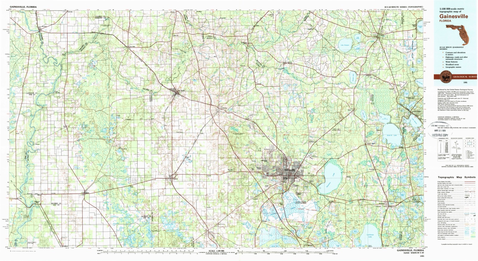
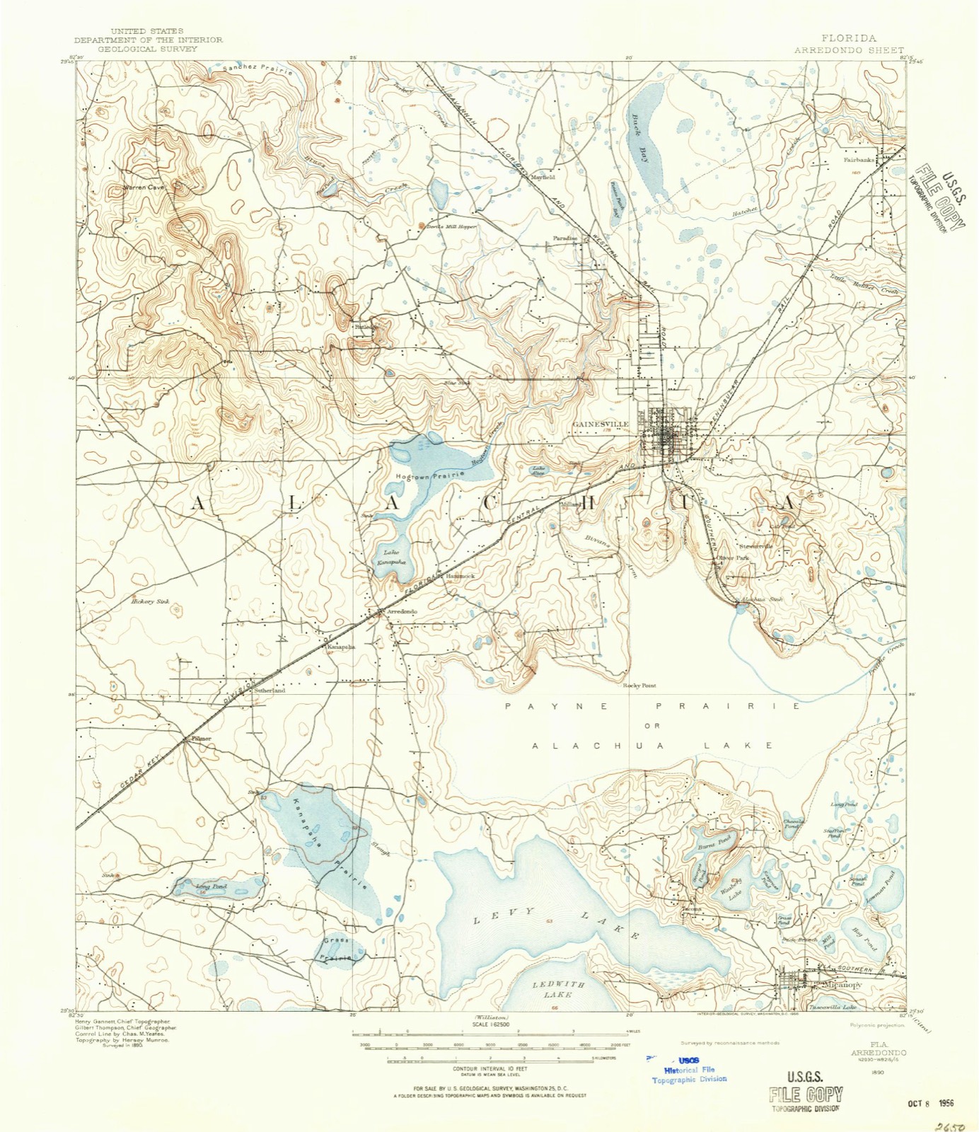
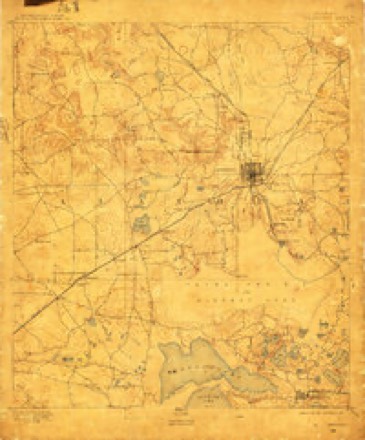
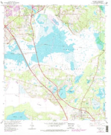
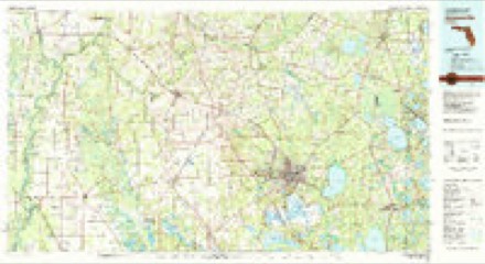
19 topographic sheets cover this place, the earliest surveyed in 1890 and the latest in 1981. It stands in the Micanopy census division. It lies in ZIP code area 32667. The Survey maps it on the Micanopy quadrangle.
Then and now
1890 to 1981The same ground, surveyed 91 years apart. Drag the handle to wipe between them. Both sheets are United States Geological Survey originals; neither has been altered.
Compare 1890 against another survey:
Topographic sheets covering this place
8 surveys from 19 printed sheetsMatched by testing this settlement's coordinate against the published boundary of every sheet in the United States Geological Survey's historical collection. Each opens the scanned sheet at the Survey.
- 1890 USGS Arredondo quadrangle1:62500, 2 printings
- 1892 USGS Arredondo quadrangle1:62500
- 1894 USGS Arredondo quadrangle1:62500, 6 printings
- 1954 USGS Gainesville quadrangle1:250000, 3 printings
- 1958 USGS Gainesville quadrangle1:250000
- 1959 USGS Gainesville quadrangle1:250000
- 1966 USGS Micanopy quadrangle1:24000, 3 printings
- 1981 USGS Gainesville quadrangle1:100000, 2 printings
Fires near this place
49 since 1992Regional context, not property-specific evidence. The federal wildfire occurrence database lists 49 fires within 5 miles of Kirkwood between 1992 and 2020, burning about 1,128 acres in total. 14 started naturally. None was recorded as arson. Distance is straight-line from the map coordinates, so a fire counted here may appear on a neighbouring settlement's page as well.
| Reported cause | Fires |
|---|---|
| Natural | 14 |
| Debris and open burning | 11 |
| Railroad operations and maintenance | 8 |
| Missing data/not specified/undetermined | 6 |
| Power generation/transmission/distribution | 4 |
| Equipment and vehicle use | 3 |
| Other causes | 1 |
| Recreation and ceremony | 1 |
| Misuse of fire by a minor | 1 |
The most recent of them, most recent first, with the day each was reported and the service that recorded it.
| Date | Cause | Size | Reported by | Name on the report |
|---|---|---|---|---|
| 27 September 1993 | Natural | 1.5 acres | Florida Forest Service | not named |
| 25 September 1992 | Railroad operations and maintenance | 10 acres | Florida Forest Service | not named |
| 6 August 2011 | Natural | 243 acres | Florida Forest Service | PAYNES PRAIRIE(01) |
| 13 August 2011 | Natural | 150 acres | Florida Forest Service | MICANOPY (1) |
| 6 July 1998 | Natural | 10 acres | Florida Forest Service | not named |
| 26 July 2002 | Natural | under an acre | Florida Forest Service | not named |
| 30 June 1998 | Natural | 1.4 acres | Florida Forest Service | not named |
| 18 June 2015 | Natural | 1.0 acres | Florida Forest Service | S.W. WILLISTON RD (01) |
Settlements close enough to share some of these fires:
Specimens collected near this place
12 of 16,961 shownRegional context, not property-specific evidence. Museums hold 16,961 specimens collected within 10 miles of Kirkwood between 1822 and 1975: 7,965 Animalia, 6,964 Fungi, 1,057 Protozoa, 760 Plantae, 118 Chromista, 95 Unrecorded, 2 Bacteria. 12 distinct Species records are shown. Collected by ?, A B GROBMAN, A S Rhoads and others. Each is a physical object with a catalogue number, and each entry opens the museum's record. This is what was collected and kept, not a survey of what lives here - nothing can be concluded from a species being absent.
| Image | Species | Year | Collected by | Where, as recorded |
|---|---|---|---|---|
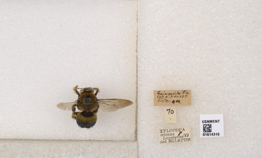 | Xylocopa micans Lepeletier, 1841 | 1847 | not recorded | Gainesville |
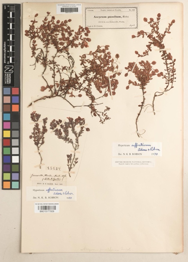 | Hypericum suffruticosum P.B.Adams & N.Robson | 1876 | Abram Paschal Garber | Gainesville |
 | Poria alabamae (Berk. & Cooke) Cooke | 1887 | Calkins | Florida |
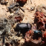 | Canthon pilularius (Linnaeus, 1758) | 1822 | F. W. Walker | Gainesville |
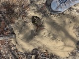 | Geomys pinetis Rafinesque, 1817 | 1860 | James Layne | Gainesville |
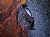 | Myotis Kaup, 1829 | 1860 | Harley B. Sherman | Gainesville |
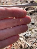 | Utricularia subulata L. | 1873 | C. E. Faxon | Gainesville |
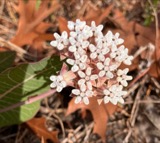 | Asclepias humistrata Walter | 1876 | A. P. Garber | Gainesville |
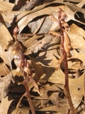 | Corallorhiza wisteriana Conrad | 1876 | A. P. Garber | Gainesville |
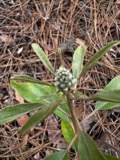 | Croton argyranthemus Michx. | 1876 | A. P. Garber | Gainesville |
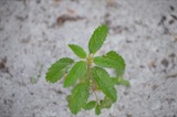 | Croton glandulosus var. glandulosus | 1876 | A. P. Garber | Gainesville |
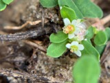 | Euphorbia cordifolia Elliott | 1876 | A. P. Garber | Gainesville |
All 16,961 specimens within 10 miles, at the Global Biodiversity Information Facility.
Storms near this place
8 since 2008Regional context, not property-specific evidence. The National Weather Service names Kirkwood in 8 storm reports between 2008 and 2022: 4 thunderstorm wind, 1 flood, 1 heavy rain, 1 tornado. No death or injury is recorded in these reports. Each account below is quoted exactly as the forecast office filed it, from the NOAA Storm Events Database, and each date opens the federal record of that event.
| When | Event | Place named | Harm | What the report says |
|---|---|---|---|---|
| May 2022 | Hail | Kirkwood | - | Nickel size hail was reported near mile marker 378 along Interstate 75. The time of the event was based on radar. |
| August 2019 | Heavy Rain | Kirkwood | - | The 24-hr rainfall was 2.75 inches. |
| December 2019 | Thunderstorm Wind | Kirkwood | - | Two tree were blown down and blocked the roadway at the intersection of South US Highway 441 and SE 134th Avenue. Possible Tornado Damage. |
| December 2019 | Tornado (EF0) | Kirkwood | - | Significant damage occurred to University of Florida recreational property at Lake Wauburg along the north shore. There were widespread downed trees, damaged watercrafts, broken docks and fences and the boat shelter was severely damaged. |
| August 2015 | Flood | Kirkwood | - | About six inches to 1 foot of water covered U.S. 441 South near St. Georges Pond. |
| January 2008 | Thunderstorm Wind | Kirkwood | - | There were numerous and widespread reports of power lines and trees down across the southern portion of Alachua County. Several reports of building fires were also received. |
| January 2008 | Thunderstorm Wind | Kirkwood | - | Trees were reported down on power lines along Highway 320. |
| April 2008 | Thunderstorm Wind | Kirkwood | - | Damage reported to trees along State Road 24. |
Nearest settlements
The eight closest, with where each one stands in the county. Distances are straight-line, computed from the Geographic Names Information System coordinates.
| Map | Place | Distance | Sheets |
|---|---|---|---|
| Tacoma | 0.8 miles | 19 | |
| Alackaway Tolofa (historical) | 2.5 miles | 19 | |
| Micanopy | 3.4 miles | 19 | |
| Wacahoota | 3.5 miles | 19 | |
| Rocky Point | 4.0 miles | 19 | |
| Clinch | 4.2 miles | 19 | |
| Malore Gardens | 4.4 miles | 19 | |
| South Idylwild | 5.3 miles | 19 |
Provenance
This settlement is recorded in the Geographic Names Information System as feature 294826. The sheet list is computed by point-in-boundary test against the United States Geological Survey's historical topographic inventory. Both are works of the United States government and carry no copyright under 17 U.S.C. 105.
Wildfire. Short, Karen C. 2022. Spatial wildfire occurrence data for the United States, 1992-2020 [FPA_FOD_20221014]. 6th Edition. Fort Collins, CO: Forest Service Research Data Archive. https://doi.org/10.2737/RDS-2013-0009.6 Collected with United States Government funding and usable without additional permissions or fees.
Specimens. Global Biodiversity Information Facility (GBIF), https://www.gbif.org/. Only records licensed CC0 or CC BY are used. Records licensed CC BY-NC are excluded because this site carries advertising. Images are checked individually and any whose licence is non-commercial, no-derivatives or unreadable is refused.
Storms. NOAA National Centers for Environmental Information, Storm Events Database https://www.ncei.noaa.gov/stormevents/ A work of the United States government, no copyright under 17 U.S.C. 105. Narratives are quoted verbatim from the National Weather Service report and are not edited or summarised.