 Block
BlockLemon City, Florida
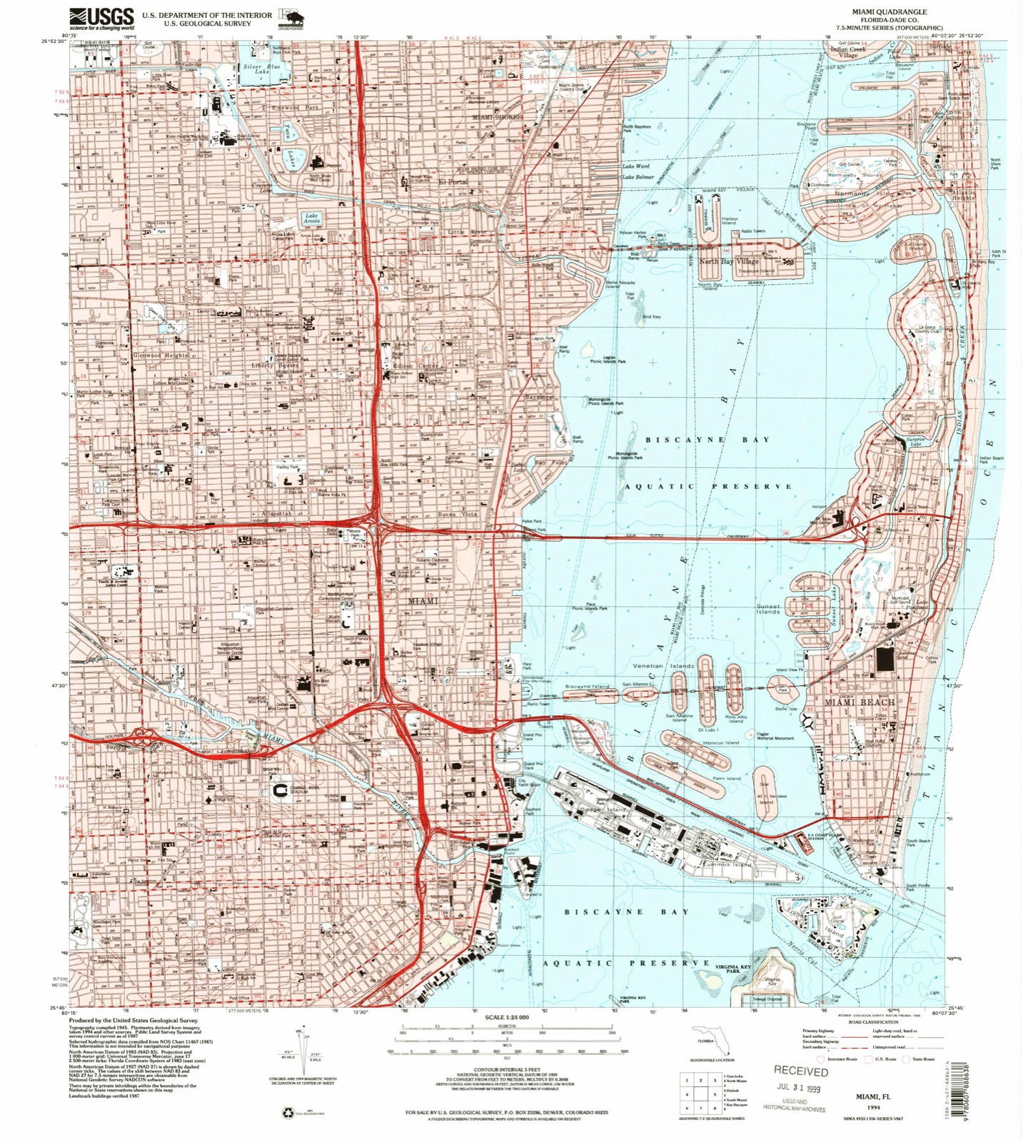
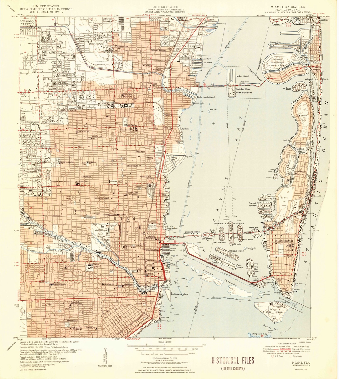
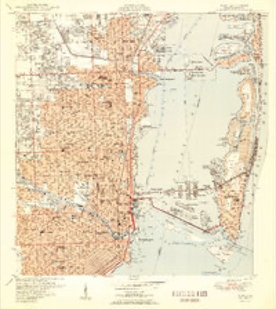
16 topographic sheets cover this place, the earliest surveyed in 1950 and the latest in 1994. It stands in the Miami census division. It lies in ZIP code area 33137. It stands on Little River. The Survey maps it on the Miami quadrangle.
Then and now
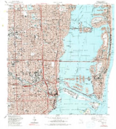
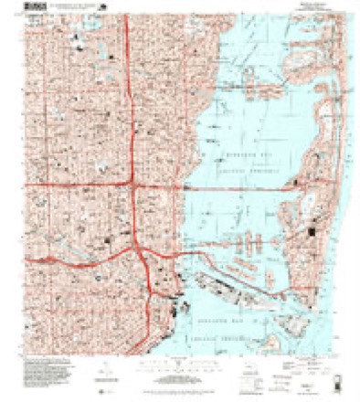
1950 to 1994The same ground, surveyed 44 years apart. Drag the handle to wipe between them. Both sheets are United States Geological Survey originals; neither has been altered.
Compare 1950 against another survey:
On record in Lemon City
Buildings and businesses the archive holds for this place. Each opens its own page, with the source record it came from.
On the National Register within a mile 3 records
The National Register names another town for these. They stand within one mile of this settlement's coordinate.
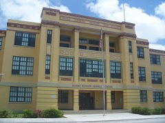 Miami Edison Senior High Schoollisted 1986 · 0.4 miles away
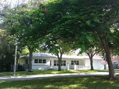 Bay Shore Historic Districtlisted 1992 · 0.6 miles away
- Barry University Historic Districtlisted 2019 · 0.4 miles away
Topographic sheets covering this place
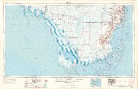
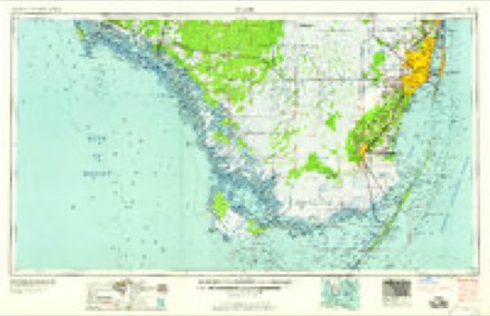
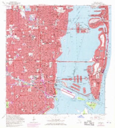
8 surveys from 16 printed sheetsMatched by testing this settlement's coordinate against the published boundary of every sheet in the United States Geological Survey's historical collection. Each opens the scanned sheet at the Survey.
- 1950 USGS Miami quadrangle1:24000, 2 printings
- 1956 USGS Miami quadrangle1:250000, 5 printings
- 1958 USGS Miami quadrangle1:250000
- 1962 USGS Miami quadrangle1:24000, 3 printings
- 1981 USGS Miami quadrangle1:100000
- 1988 USGS Miami quadrangle1:24000, 2 printings
- 1988 USGS Miami quadrangle1:250000
- 1994 USGS Miami quadrangle1:24000
Fires near this place
3 since 1992Regional context, not property-specific evidence. The federal wildfire occurrence database lists 3 fires within 5 miles of Lemon City between 1992 and 2017, burning under an acre in total. None started naturally. 2 were recorded as arson. Distance is straight-line from the map coordinates, so a fire counted here may appear on a neighbouring settlement's page as well.
| Reported cause | Fires |
|---|---|
| Arson/incendiarism | 2 |
| Railroad operations and maintenance | 1 |
The most recent of them, most recent first, with the day each was reported and the service that recorded it.
| Date | Cause | Size | Reported by | Name on the report |
|---|---|---|---|---|
| 30 May 1992 | Railroad operations and maintenance | under an acre | Florida Forest Service | not named |
| 16 April 2017 | Arson/incendiarism | under an acre | Florida Forest Service | GOLF COURSE ( 06 ) |
| 8 January 2001 | Arson/incendiarism | under an acre | Florida Forest Service | not named |
Settlements close enough to share some of these fires:
Mines and quarries near this place
3 within 5 milesRegional context, not property-specific evidence. The federal mineral resources record lists 3 workings within 5 miles of Lemon City: 2 past producers, 1 plant. 1 still produces. What was taken out: Stone, Crushed/Broken, Aluminum, Titanium. Distance is straight-line from the map coordinates, so a quarry counted here may appear on a neighbouring settlement's page as well.
| Where | Site | Commodity | Status | Recorded |
|---|---|---|---|---|
| Anaconda Aluminum/ Miami, Fla. | Aluminum, Titanium | Plant | ||
| Dade Pit No. 12 | Stone, Crushed/Broken | Past Producer | ||
| Dade Quarry No. 8 | Stone, Crushed/Broken | Past Producer |
Storms near this place
12 since 2007Regional context, not property-specific evidence. The National Weather Service names Lemon City in 12 storm reports between 2007 and 2025: 5 flood, 4 flash flood, 1 hail, 1 lightning. No death or injury is recorded in these reports. Each account below is quoted exactly as the forecast office filed it, from the NOAA Storm Events Database, and each date opens the federal record of that event.
| When | Event | Place named | Harm | What the report says |
|---|---|---|---|---|
| July 2016 | Lightning | Lemon City | $50,000 | TV media reported a 39-foot boat caught fire behind a waterfront home. The boat caught fire behind a home in the Bay Point Community. The owner saw lightning strike the boat igniting the fire. |
| November 2021 | Flash Flood | Lemon City | $15,000 | Various broadcast media outlets and members of the public reported significant flooding across the downtown and midtown areas of Miami. Significant flooding of roadways with stalled vehicles in the flood waters along the Biscayne Boulevard corridor from NE 15th Street to NE 9th Street. Rainfall measurements from nearby rain gauges was around 3 inches, most of which fell in a very short period of time. |
| November 2021 | Flash Flood | Lemon City | $10,000 | An NWS employee and various members of the public reported flooding in portions of the City of Miami near Biscayne Bay due to heavy rainfall. Significant flooding in the Edgewater neighborhood caused water to enter the first level of a condominium building on NE 30th Terrace and causing the elevators to stop working. Reports of street flooding in Downtown Miami near Biscayne Boulevard and NE 15th Street with water reaching over the sidewalk and halfway up car tires. Significant street flooding also occurred near S. Miami Avenue and 9th street and also SE 1st Avenue and SE 9th Street where water exceeded curbs and was flowing down streets, with water passing car tires. ||Rainfall in the general area was around 3 inches, most of it falling in only 1 hour leading to very high rainfall rates. The presence of king tides during this time period may have exacerbated the flooding in these areas. |
| September 2025 | Thunderstorm Wind | Lemon City | $4,000 | Broadcast media reported a tree fell on a truck in the vicinity of NE 2nd Ave and NE 27th St in Miami. |
| February 2015 | Flash Flood | Lemon City | $3,000 | Significant flooding occurred in the Omni, Edgewater and Midtown areas of the City of Miami, mainly along the Biscayne Boulevard and North Miami Avenue corridors. Multiple cars stalled and flowing water was up to a foot deep. Media reported minor inundation of businesses on the north edge of downtown. Multiple businesses in the Miami Midtown Shops closed as their ground floors were flooded. Survey of debris lines indicated that most businesses along the Biscayne Boulevard corridor between 195 and 395 had water above the base of their front doors.||Damage total is estimated. |
| May 2019 | Flood | Lemon City | $1,000 | Multiple broadcast media outlets reported extensive street flooding across portions of Wynwood and Little Havana after a thunderstorm produced 5 inches of rain in 2 hours. Some of the flooding encroached on businesses and residences in the area. Flooding began at 630 PM EDT. |
| September 2025 | Flood | Lemon City | - | Several media reports of urban and poor drainage flooding in the Miami area associated with heavy rain this afternoon. Radar estimated 1-3 inches of rain in about an hour. |
| May 2024 | Flood | Lemon City | - | Social media pictures and videos showed street flooding with 6 inches of standing water near NE 1st Avenue and 29th Street in Miami. |
| November 2022 | Flood | Lemon City | - | Street flooding was observed in the Edgewater neighborhood of Miami, generally from NE 15th Street to NE 29th Street east of Biscayne Boulevard to the bayfront. Cars were stalled on Biscayne Boulevard between NE 11th and 15th streets. Rainfall amounts of around 4 inches were reported in the area. |
| February 2021 | Flash Flood | Lemon City | - | Several videos obtained from the media and public showed flash flooding on NE 23rd Street near Biscayne Blvd with water rising above the bottom line of several building doors, water covering the wheels of cars, and rising to knee-high level. Additional videos show street flooding near Margaret Pace Pack with an estimated two to three inches of water on the ground. Nearby rain gauges measured between 3 to 4 inches of rain in the area. |
| August 2015 | Flood | Lemon City | - | Off-duty NWS employee reported several impassable streets due to flooding in the Wynwood area of Miami from remnant low pressure of Tropical Storm Erika. |
| June 2007 | Hail | Lemon City | - | Observed at WPLG-10 studios at Biscayne Boulevard and NE 39th Street. |
Nearest settlements
The eight closest, with where each one stands in the county. Distances are straight-line, computed from the Geographic Names Information System coordinates.
| Map | Place | Distance | Sheets |
|---|---|---|---|
| Keystone Tourist Court | 0.3 miles | 16 | |
| Bayshore | 0.4 miles | 16 | |
| Edison Center | 0.5 miles | 16 | |
| Little River | 1.2 miles | 16 | |
| Buena Vista | 1.2 miles | 16 | |
| Liberty Square | 1.3 miles | 16 | |
| El Portal | 1.7 miles | 16 | |
| Allapattah | 2.0 miles | 16 |
Provenance
This settlement is recorded in the Geographic Names Information System as feature 285455. The sheet list is computed by point-in-boundary test against the United States Geological Survey's historical topographic inventory. Both are works of the United States government and carry no copyright under 17 U.S.C. 105.
Wildfire. Short, Karen C. 2022. Spatial wildfire occurrence data for the United States, 1992-2020 [FPA_FOD_20221014]. 6th Edition. Fort Collins, CO: Forest Service Research Data Archive. https://doi.org/10.2737/RDS-2013-0009.6 Collected with United States Government funding and usable without additional permissions or fees.
Mines and quarries. USGS Mineral Resources Data System (MRDS) https://mrdata.usgs.gov/mrds/ A work of the United States government, no copyright under 17 U.S.C. 105.
Storms. NOAA National Centers for Environmental Information, Storm Events Database https://www.ncei.noaa.gov/stormevents/ A work of the United States government, no copyright under 17 U.S.C. 105. Narratives are quoted verbatim from the National Weather Service report and are not edited or summarised.