 Block
BlockLongbeach, Florida
15 topographic sheets cover this place, the earliest surveyed in 1944 and the latest in 1988. It stands in the Bradenton census division. It lies in ZIP code area 34228. It lies near Jewfish Key. The Survey maps it on the Bradenton Beach quadrangle.
Then and now
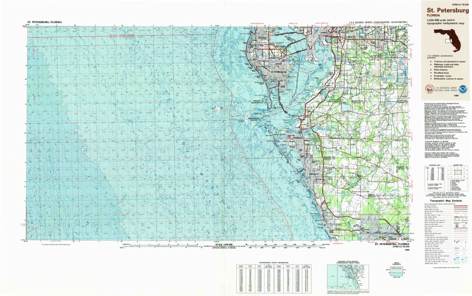
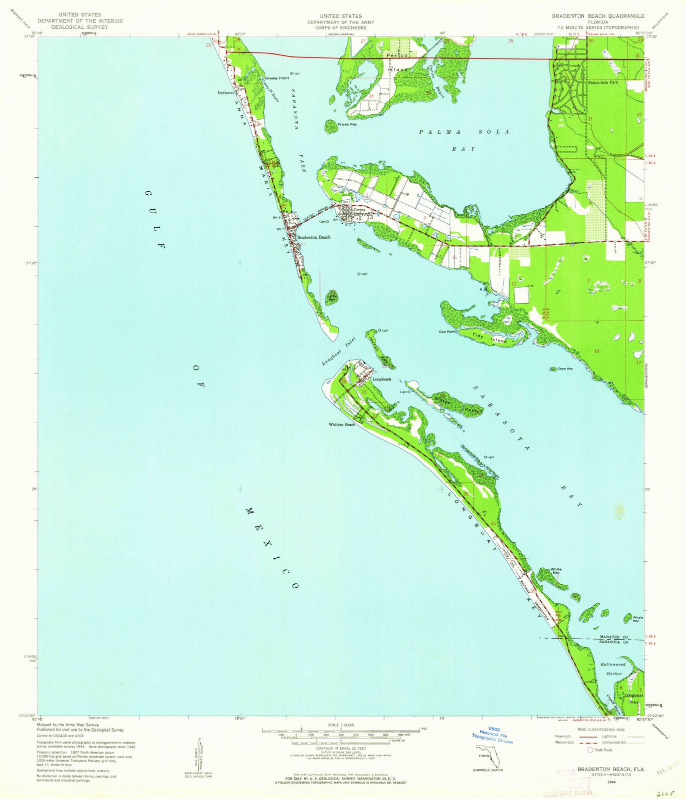
1944 to 1988The same ground, surveyed 44 years apart. Drag the handle to wipe between them. Both sheets are United States Geological Survey originals; neither has been altered.
On record in Longbeach
Buildings and businesses the archive holds for this place. Each opens its own page, with the source record it came from.
On the National Register within a mile 1 record
The National Register names another town for these. They stand within one mile of this settlement's coordinate.
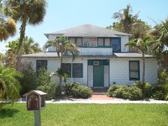 Rufus P. Jordan Houselisted 2005 · 0.1 miles away
Topographic sheets covering this place
9 surveys from 15 printed sheetsMatched by testing this settlement's coordinate against the published boundary of every sheet in the United States Geological Survey's historical collection. Each opens the scanned sheet at the Survey.
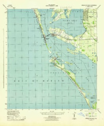
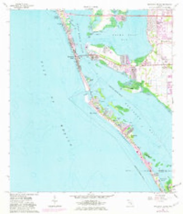
- 1944 USGS Bradenton Beach quadrangle1:24000
- 1944 USGS Bradenton Beach quadrangle1:31680
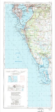
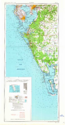
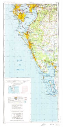
- 1956 USGS Tampa quadrangle1:250000, 2 printings
- 1959 USGS Tampa quadrangle1:250000
- 1960 USGS Tampa quadrangle1:250000, 2 printings
- 1964 USGS Bradenton Beach quadrangle1:24000, 5 printings
- 1972 USGS Tampa quadrangle1:250000
- 1979 USGS Sarasota quadrangle1:100000
- 1988 USGS St Petersburg quadrangle1:250000
Fires near this place
2 since 1998Regional context, not property-specific evidence. The federal wildfire occurrence database lists 2 fires within 5 miles of Longbeach between 1998 and 2006, burning about 8 acres in total. None started naturally. None was recorded as arson. Distance is straight-line from the map coordinates, so a fire counted here may appear on a neighbouring settlement's page as well.
| Reported cause | Fires |
|---|---|
| Recreation and ceremony | 1 |
| Railroad operations and maintenance | 1 |
The most recent of them, most recent first, with the day each was reported and the service that recorded it.
| Date | Cause | Size | Reported by | Name on the report |
|---|---|---|---|---|
| 2 May 2006 | Recreation and ceremony | 5.0 acres | Florida Forest Service | 41-SISTER KEY FIRE-0334 |
| 23 October 1998 | Railroad operations and maintenance | 3.0 acres | Florida Forest Service | not named |
Settlements close enough to share some of these fires:
Mines and quarries near this place
1 within 5 milesRegional context, not property-specific evidence. The federal mineral resources record lists 1 working within 5 miles of Longbeach: 1 past producer. None of them still produces. What was taken out: Stone, Crushed/Broken. Distance is straight-line from the map coordinates, so a quarry counted here may appear on a neighbouring settlement's page as well.
| Where | Site | Commodity | Status | Recorded |
|---|---|---|---|---|
| P and R Shell Pit | Stone, Crushed/Broken | Past Producer |
Storms near this place
2 since 1999Regional context, not property-specific evidence. The National Weather Service names Longbeach in 2 storm reports between 1999 and 2017: 1 waterspout, 1 flood. The reports record 1 death. Each account below is quoted exactly as the forecast office filed it, from the NOAA Storm Events Database, and each date opens the federal record of that event.
| When | Event | Place named | Harm | What the report says |
|---|---|---|---|---|
| August 2017 | Flood | Longbeach | 1 killed, $1,340,000 | Heavy rain started to fall over Manatee County on the 26th and continued through the 28th, with as much as 17 inches of rain falling in some areas. The highest rain totals were reported over Bradenton, mainly on the 26th through early morning on the 27th, resulting in numerous streets flooding. Cars were reported to be floating on State Road 70 near Interstate 75, requiring at least one water rescue. ||The heavy rain also caused water to enter numerous homes and businesses in Bradenton. Manatee Public Safety reporting that 67 homes, mostly in the Centre Lake community had a foot of water in them prompting the families to evacuate. Water was also reported in homes along Manatee Avenue West around 38th Street West.||One fatality was reported in Manatee County, when a 61 year old man drowned in the Sara Palms neighborhood on the evening of the 27th after his wheelchair tipped over in flood waters. |
| August 1999 | Waterspout | Longbeach | - | Manatee Fire/Rescue personnel reported that a waterspout touched down three times one mile west of Longbeach on the north end of Longboat Key. |
Nearest settlements
The eight closest, with where each one stands in the county. Distances are straight-line, computed from the Geographic Names Information System coordinates.
| Map | Place | Distance | Sheets |
|---|---|---|---|
| Whitney Beach | 0.5 miles | 15 | |
| Longboat Key | 2.1 miles | 15 | |
| Cortez | 2.2 miles | 15 | |
| Bradenton Beach | 2.3 miles | 15 | |
| Ilexhurst | 3.9 miles | 15 | |
| Holmes Beach | 4.3 miles | 15 | |
| Palma Sola Park | 4.5 miles | 15 | |
| Bayshore Gardens | 5.0 miles | 14 |
Provenance
This settlement is recorded in the Geographic Names Information System as feature 286082. The sheet list is computed by point-in-boundary test against the United States Geological Survey's historical topographic inventory. Both are works of the United States government and carry no copyright under 17 U.S.C. 105.
Wildfire. Short, Karen C. 2022. Spatial wildfire occurrence data for the United States, 1992-2020 [FPA_FOD_20221014]. 6th Edition. Fort Collins, CO: Forest Service Research Data Archive. https://doi.org/10.2737/RDS-2013-0009.6 Collected with United States Government funding and usable without additional permissions or fees.
Mines and quarries. USGS Mineral Resources Data System (MRDS) https://mrdata.usgs.gov/mrds/ A work of the United States government, no copyright under 17 U.S.C. 105.
Storms. NOAA National Centers for Environmental Information, Storm Events Database https://www.ncei.noaa.gov/stormevents/ A work of the United States government, no copyright under 17 U.S.C. 105. Narratives are quoted verbatim from the National Weather Service report and are not edited or summarised.