 Block
BlockMicco, Florida
16 topographic sheets cover this place, the earliest surveyed in 1949 and the latest in 1988. It stands in the Malabar census division. It lies in ZIP code area 32976. It lies near Grange Island. The Survey maps it on the Grant quadrangle. 9,574 people lived here at the 2020 count. It stands 23 feet above sea level.
Then and now
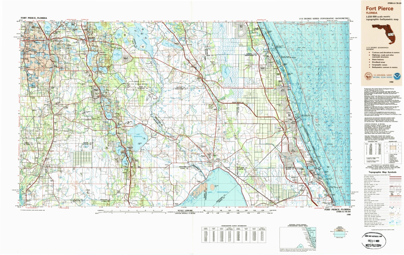
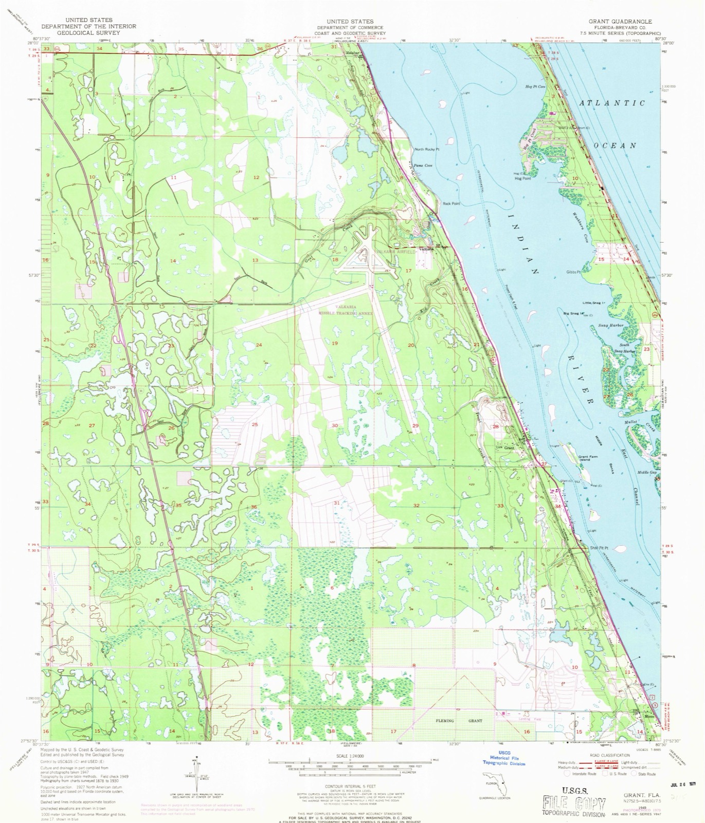
1949 to 1988The same ground, surveyed 39 years apart. Drag the handle to wipe between them. Both sheets are United States Geological Survey originals; neither has been altered.
Population over time
2 figuresMicco grew from 9,052 to 9,574 between 2010 and 2020. These are the recorded population figures Wikidata holds for this place, reached through the Geographic Names Information System number this page is keyed on rather than by name, so they belong to this place and not to another of the same name. Most are census counts, but not all are: an early figure may be a founding or settlement estimate, and an estimate published within five years of a census is left out. The change column is computed, and is left blank where more than 20 years separate a figure from the one before it, because a gap that long is not a change between two counts.
| Year | People | Change |
|---|---|---|
| 2010 | 9,052 | |
| 2020 | 9,574 | +522 (+6%) |
Topographic sheets covering this place
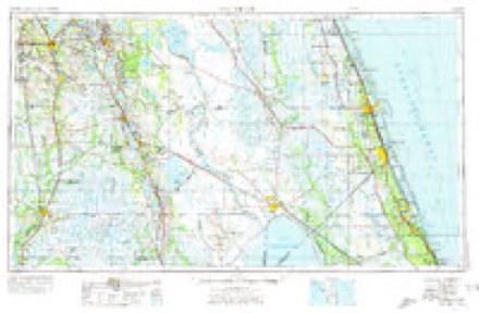
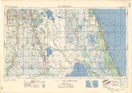
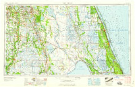
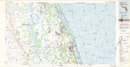
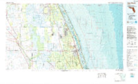
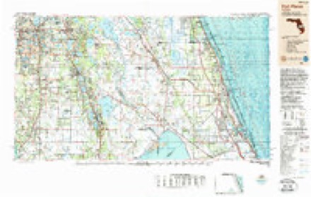
8 surveys from 16 printed sheetsMatched by testing this settlement's coordinate against the published boundary of every sheet in the United States Geological Survey's historical collection. Each opens the scanned sheet at the Survey.
- 1949 USGS Grant quadrangle1:24000, 4 printings
- 1951 USGS Grant quadrangle1:24000
- 1956 USGS Fort Pierce quadrangle1:250000, 4 printings
- 1958 USGS Fort Pierce quadrangle1:250000
- 1959 USGS Fort Pierce quadrangle1:250000, 3 printings
- 1981 USGS Vero Beach quadrangle1:100000
- 1985 USGS Vero Beach quadrangle1:100000
- 1988 USGS Fort Pierce quadrangle1:250000
Fires near this place
103 since 1992Regional context, not property-specific evidence. The federal wildfire occurrence database lists 103 fires within 5 miles of Micco between 1992 and 2019, burning about 3,530 acres in total. 40 started naturally. 9 were recorded as arson. Distance is straight-line from the map coordinates, so a fire counted here may appear on a neighbouring settlement's page as well.
| Reported cause | Fires |
|---|---|
| Natural | 40 |
| Equipment and vehicle use | 19 |
| Missing data/not specified/undetermined | 16 |
| Arson/incendiarism | 9 |
| Debris and open burning | 8 |
| Recreation and ceremony | 4 |
| Misuse of fire by a minor | 3 |
| Railroad operations and maintenance | 2 |
| Smoking | 1 |
| Power generation/transmission/distribution | 1 |
The most recent of them, most recent first, with the day each was reported and the service that recorded it.
| Date | Cause | Size | Reported by | Name on the report |
|---|---|---|---|---|
| 6 September 2013 | Missing data/not specified/undetermined | 20 acres | Florida Forest Service | WAGON (05) |
| 3 September 2001 | Natural | 1.5 acres | Florida Forest Service | not named |
| 15 September 2000 | Equipment and vehicle use | 8.0 acres | Florida Forest Service | not named |
| 7 August 2012 | Natural | under an acre | Florida Forest Service | ARMADILLO (31) |
| 5 August 2005 | Natural | 60 acres | Florida Forest Service | IR-MAIN STREET FIRE-1033 |
| 4 August 2003 | Missing data/not specified/undetermined | 2.0 acres | Florida Forest Service | 2003-12-1080 INDIAN RIVER |
| 31 August 2007 | Natural | under an acre | Florida Forest Service | RATTLESNAKE (05) |
| 30 August 2011 | Natural | 4.0 acres | Florida Forest Service | DEEP DITCH (31) |
Settlements close enough to share some of these fires:
Storms near this place
25 since 1994Regional context, not property-specific evidence. The National Weather Service names Micco in 25 storm reports between 1994 and 2024: 9 thunderstorm wind, 6 tornado, 5 hail, 3 lightning. The reports record 4 injuries. Each account below is quoted exactly as the forecast office filed it, from the NOAA Storm Events Database, and each date opens the federal record of that event.
| When | Event | Place named | Harm | What the report says |
|---|---|---|---|---|
| August 2008 | Tornado (EF1) | Micco | 2 hurt, $420,000 | An EF1 tornado embedded in a rain band from Tropical Storm Fay moved onshore and struck the manufactured home community of Barefoot Bay. The tornado destroyed 9 mobile homes and damaged 59. The tornado blew the roof off and collapsed the exterior walls of the most severely damaged mobile home. Dozens of lightweight out buildings, awnings and car ports were damaged. Two minor injuries were reported. |
| August 1998 | Lightning | Micco | 1 hurt | Lightning struck a picnic pavilion under which thirteen people took shelter. One person was injured. |
| July 1997 | Lightning | Micco | 1 hurt | A woman was struck and injured by lightning while running under an umbrella from her car to her house. |
| April 2023 | Tornado (EF0) | Micco | $425,000 | A National Weather Service Melbourne damage survey confirms that|a brief EF-0 tornado touched down initially in the River Groves|mobile home community in Micco. The tornado continued to the east-|southeast into the Summit Cove Condominiums complex before|crossing US-1 and emerging into the Indian River Lagoon near the|Sebastian River Marina and Boatyard. The tornado was on the|ground for approximately 0.5 miles, had a maximum width of|approximately 100 yards, and peak winds estimated between 65-75|mph.||Damage was first noted near Love Ct. where the tornado touched|down at approximately 536 pm EDT. Brevard County Emergency|Management conducted an initial assessment and documented between|25-30 structures with at least minor damage in the River Groves|community, primarily along Love Ct., Cherish Dr., and River Groves|Dr. These homes suffered partial damage to carports, awnings,|siding, and skirting. Additionally, several structures lost|portions of their roof when the attached carport or porch awnings|were torn away from the home.||The tornado continued east-southeast toward the Summit Cove|Condominiums complex where some damage was noted to trees near|the clubhouse, as well as siding on nearby homes, on Summit Cove|Dr. The system crossed US-1 before emerging into the Indian River|Lagoon near the Sebastian River Marina & Boatyard, where several|boats were moved from their storage rack. An eyewitness indicates the|tornado briefly became a waterspout before dissipating.||There are no known direct injuries or fatalities as a result of|the tornado. |
| September 2004 | Tornado (F1) | Micco | $350,000 | As the center of Hurricane Jeanne was coming on shore to the south, an F1 tornado-like event moved through the mobile home community of Barefoot Bay, severey damaging about a dozen mobile homes. The damage path moved from east to west, skipping over the residences near the Intracoastal Waterway and damaging the ones on the west side of the community. |
| September 2016 | Tornado (EF0) | Micco | $40,000 | An eyewitness report documented the onset of the tornado within the St. Sebastian River Preserve State Park, south of Micco Road and west of the town of Micco, in far southern Brevard County. Based on results from a NWS damage survey and other eyewitness reports (including photographs), the tornado moved in a northerly direction for approximately 3.5 miles before lifting south of Grant Road. The tornado was rated as an EF-0, with maximum winds estimated at 75-85 mph.||The discontinuous damage path occurred within a mostly rural area within the town of Grant-Valkaria, with damage to a two block area that included Orchid Tree Drive, Cottonwood Drive and Crepe Myrtle Drive. An RV at the south end of Cottonwood Drive was toppled onto its side and a large mango tree was uprooted. Farther north, toward the middle of Orchid Tree Drive, a single family home had a large patio enclosure destroyed. The patio was connected securely to the home, resulting in a large portion of the home's roof also being removed. Debris was carried downstream over 100 yards in a northwest direction. A few additional homes nearby experienced minor soft and shingle damage. Numerous large tree branches were downed or damaged throughout the neighborhood. DI2, DOD4 LB; DI3, DOD5 LB; DI27, DOD2, EXP. |
| May 1998 | Thunderstorm Wind | Micco | $15,000 | Thunderstorm winds destroyed carports on two mobile homes. |
| July 2009 | Thunderstorm Wind | Micco | $10,000 | Strong thunderstorm wind gusts produced minor damage to three manufactured homes. One home sustained roof damage and two others had awnings ripped away. |
| August 2002 | Lightning | Micco | $5,000 | Lightning started a fire that destroyed the roof of a mobile home. |
| July 1994 | Thunderstorm Wind | Micco | $5,000 | Thunderstorm winds gusting between 60 and 70 mph damaged a radio tower and satellite dish. |
| October 2024 | Flood | Micco | - | Brevard County Emergency Management reported significant urban, street, and low-lying flooding as a result of widespread rainfall totals of 4 to 9 inches in association with Hurricane Milton. A period of very heavy rainfall rates associated with the core of the storm led to flash flooding during the overnight period (Oct 9 - 10). County officials indicated damage to residential and county infrastructure was minimal. |
| August 2024 | Thunderstorm Wind | Micco | - | The mesonet site at Sebastian Inlet reported a 51 knot wind gust from the west-northwest. |
| April 2022 | Thunderstorm Wind | Micco | - | The ASOS at the Treasure Coast Airport in Fort Pierce, KFPR, measured a peak wind gust of 82 mph from the west. |
| April 2021 | Thunderstorm Wind | Micco | - | A mesonet station at Sebastian Inlet measured a peak wind gust of 62 mph from the north. |
| April 2020 | Hail | Micco | - | A trained spotter reported quarter-sized hail in Barefoot Bay. Another report of quarter-sized hail in Micco was received from local media. |
| October 2019 | Tornado (EF0) | Micco | - | An off-duty National Hurricane Center Research Division employee, and a member of the public reported a brief tornado (landspout) over an open field in rural Indian River County. The landspout was observed west of Interstate 95, north of State Road 60, and east of County Road 512. Indian River County Emergency Management and Fire Rescue surveyed the area and found no damage. |
| October 2015 | Funnel Cloud | Micco | - | A funnel cloud was briefly sighted by local law enforcement approximately four miles south of Barefoot Bay, near the Brevard-Indian River County line. |
| June 2014 | Thunderstorm Wind | Micco | - | A mesonet weather station at Sebastian Inlet recorded a 62 mph wind gust. |
| March 2010 | Hail | Micco | - | An Indian River County Emergency Manager reported nickel sized hail and estimated wind gusts up to around 50 mph as a strong storm moved across Sebastian. |
| April 2008 | Hail | Micco | - | One inch hail was reported near Micco. |
| June 2006 | Hail | Micco | - | One inch hail was reported in Barefoot Bay. |
| September 2004 | Tornado (F1) | Micco | - | As the center of Hurricane Jeanne was coming on shore to the south, an F1 tornado-like event moved through the mobile home community of Barefoot Bay blowing down trees along a narrow well defined area surrounded by undamaged trees and mobile homes. |
| July 1997 | Thunderstorm Wind | Micco | - | Thunderstorm wind destroyed a porch attached to a mobile home in Barefoot Bay. |
| July 1997 | Thunderstorm Wind | Micco | - | Thunderstorm winds blew down power poles and damaged a building in Micco. |
| March 1996 | Hail | Micco | - | no account filed |
Nearest settlements
The eight closest, with where each one stands in the county. Distances are straight-line, computed from the Geographic Names Information System coordinates.
| Map | Place | Distance | Sheets |
|---|---|---|---|
| Ballard Pines | 2.7 miles | 17 | |
| Evans Pines | 3.4 miles | 17 | |
| Grant | 3.6 miles | 16 | |
| Floridana Beach | 4.5 miles | 17 | |
| Grant-Valkaria | 5.5 miles | 16 | |
| Melbourne Shores | 5.7 miles | 16 | |
| Valkaria | 6.2 miles | 16 | |
| Malabar | 9.2 miles | 13 |
Elsewhere
Matched on this settlement's Geographic Names Information System number rather than its name, so it cannot be a different place of the same name in another state.
| Wikipedia article on Micco | An encyclopaedic summary. Its text is share-alike, so it is linked here rather than copied. |
| Wikidata item Q1760981 | The structured record the population and elevation above come from. Public domain (CC0). |
Provenance
This settlement is recorded in the Geographic Names Information System as feature 286768. The sheet list is computed by point-in-boundary test against the United States Geological Survey's historical topographic inventory. Both are works of the United States government and carry no copyright under 17 U.S.C. 105.
Wildfire. Short, Karen C. 2022. Spatial wildfire occurrence data for the United States, 1992-2020 [FPA_FOD_20221014]. 6th Edition. Fort Collins, CO: Forest Service Research Data Archive. https://doi.org/10.2737/RDS-2013-0009.6 Collected with United States Government funding and usable without additional permissions or fees.
Storms. NOAA National Centers for Environmental Information, Storm Events Database https://www.ncei.noaa.gov/stormevents/ A work of the United States government, no copyright under 17 U.S.C. 105. Narratives are quoted verbatim from the National Weather Service report and are not edited or summarised.