 Block
BlockMyakka City, Florida
11 topographic sheets cover this place, the earliest surveyed in 1956 and the latest in 1988. It stands in the Myakka City census division. It lies in ZIP code area 34251. It stands on Owen Creek. The Survey maps it on the Myakka City quadrangle.
Then and now
1956 to 1988The same ground, surveyed 32 years apart. Drag the handle to wipe between them. Both sheets are United States Geological Survey originals; neither has been altered.
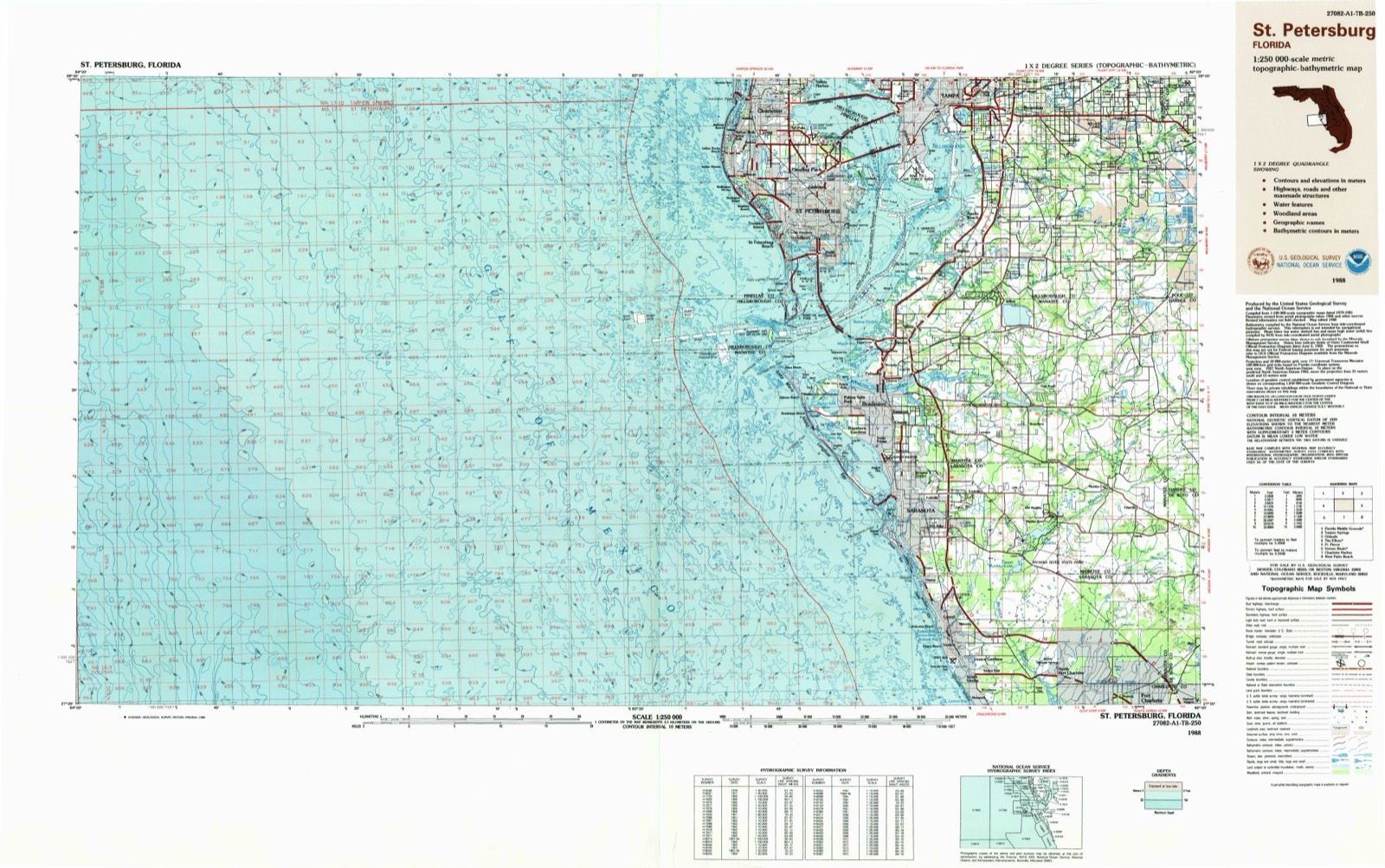
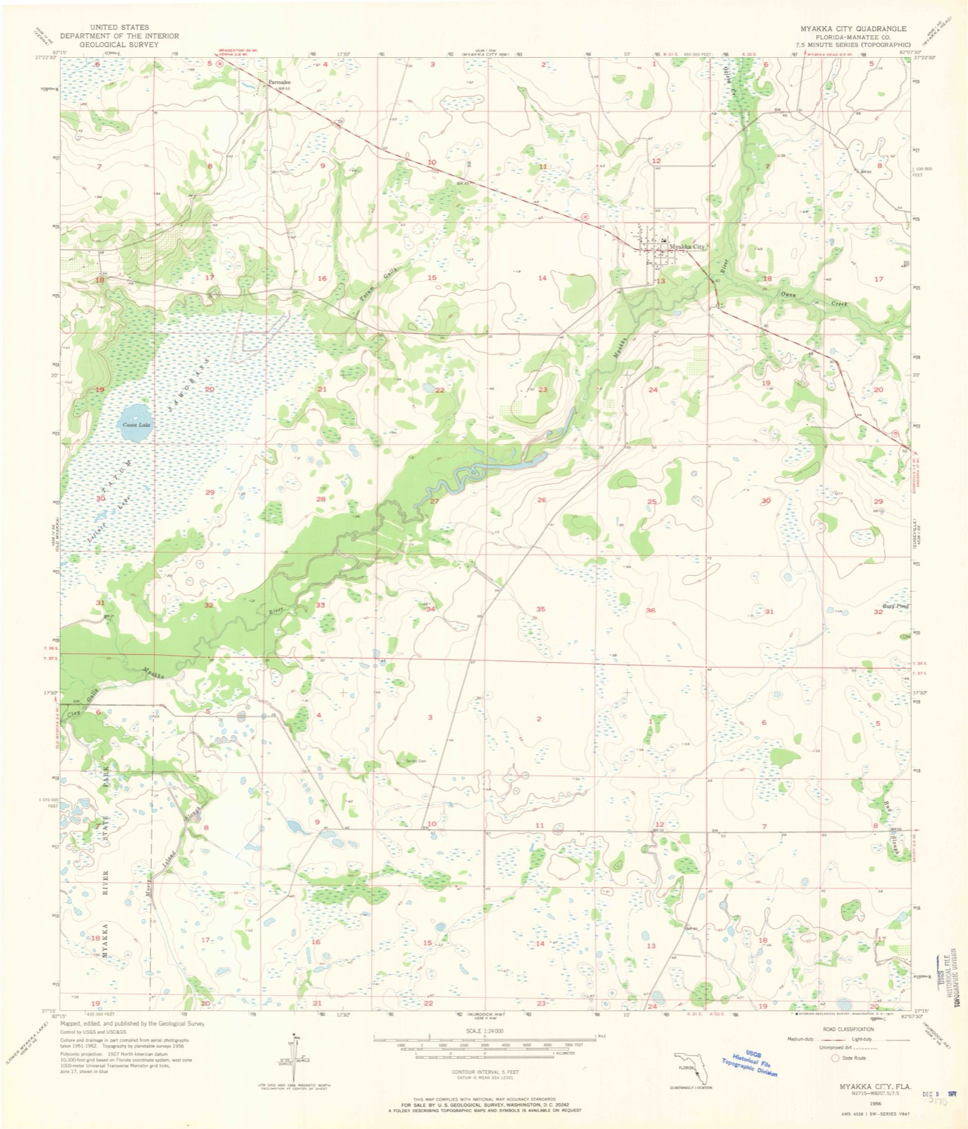
Topographic sheets covering this place
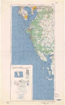
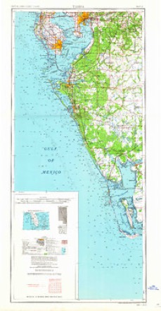
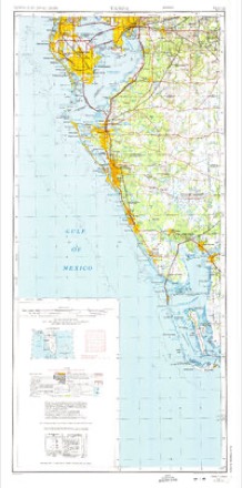
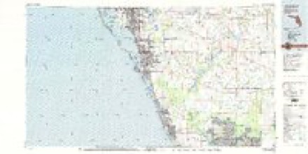
7 surveys from 11 printed sheetsMatched by testing this settlement's coordinate against the published boundary of every sheet in the United States Geological Survey's historical collection. Each opens the scanned sheet at the Survey.
- 1956 USGS Myakka City quadrangle1:24000, 3 printings
- 1956 USGS Tampa quadrangle1:250000, 2 printings
- 1959 USGS Tampa quadrangle1:250000
- 1960 USGS Tampa quadrangle1:250000, 2 printings
- 1972 USGS Tampa quadrangle1:250000
- 1979 USGS Sarasota quadrangle1:100000
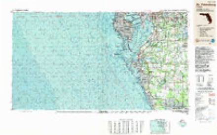
- 1988 USGS St Petersburg quadrangle1:250000
Fires near this place
71 since 1992Regional context, not property-specific evidence. The federal wildfire occurrence database lists 71 fires within 5 miles of Myakka City between 1992 and 2020, burning about 898 acres in total. 16 started naturally. 2 were recorded as arson. Distance is straight-line from the map coordinates, so a fire counted here may appear on a neighbouring settlement's page as well.
| Reported cause | Fires |
|---|---|
| Debris and open burning | 17 |
| Natural | 16 |
| Missing data/not specified/undetermined | 14 |
| Equipment and vehicle use | 10 |
| Railroad operations and maintenance | 6 |
| Recreation and ceremony | 3 |
| Arson/incendiarism | 2 |
| Smoking | 2 |
| Power generation/transmission/distribution | 1 |
The most recent of them, most recent first, with the day each was reported and the service that recorded it.
| Date | Cause | Size | Reported by | Name on the report |
|---|---|---|---|---|
| 18 September 2019 | Debris and open burning | 18 acres | Florida Forest Service | MJ RD. (41) |
| 7 August 2005 | Missing data/not specified/undetermined | 1.0 acres | Florida Forest Service | 2005-15-0397 |
| 22 August 2017 | Natural | 10 acres | Florida Forest Service | 73RD AVE (41) |
| 24 July 2009 | Debris and open burning | 15 acres | Florida Forest Service | 41-73RD AVE FIRE-0451 |
| 14 July 2019 | Natural | 4.0 acres | Florida Forest Service | HOWZE RANCH (41) |
| 14 July 1993 | Natural | 1.5 acres | Florida Forest Service | not named |
| 29 June 2014 | Natural | 1.0 acres | Florida Forest Service | FLATFORD SWAMP (41) |
| 27 June 2014 | Natural | 1.0 acres | Florida Forest Service | FARM FIELD 5 (41) |
Settlements close enough to share some of these fires:
Mines and quarries near this place
2 within 5 milesRegional context, not property-specific evidence. The federal mineral resources record lists 2 workings within 5 miles of Myakka City: 2 prospects. None of them still produces. What was taken out: Phosphorus-Phosphates, Uranium, Iron, Magnesite, Aluminum, Fluorine-Fluorite, Uranium, Magnesite, Aluminum, Iron, Fluorine-Fluorite. Distance is straight-line from the map coordinates, so a quarry counted here may appear on a neighbouring settlement's page as well.
| Where | Site | Commodity | Status | Recorded |
|---|---|---|---|---|
| Manatee South | Phosphorus-Phosphates, Uranium, Magnesite, Aluminum, Iron, Fluorine-Fluorite | Prospect | Chemical Sediment, Marine | |
| W.Bethel and Adjacent Deposits | Phosphorus-Phosphates, Uranium, Iron, Magnesite, Aluminum, Fluorine-Fluorite | Prospect |
Storms near this place
32 since 1994Regional context, not property-specific evidence. The National Weather Service names Myakka City in 32 storm reports between 1994 and 2021: 9 thunderstorm wind, 8 tornado, 7 hail, 5 lightning. The reports record 11 injuries. Each account below is quoted exactly as the forecast office filed it, from the NOAA Storm Events Database, and each date opens the federal record of that event.
| When | Event | Place named | Harm | What the report says |
|---|---|---|---|---|
| May 1999 | Lightning | Myakka City | 7 hurt | Seven migrant farm workers were struck and injured by lightning while taking refuge under a steel flatbed fruit truck during a thunderstorm along Verna Bethany Road between State Roads 70 and 64, eleven miles northwest of Myakka City. The lightning victims suffered mainly minor leg and arm injuries. |
| July 2000 | Lightning | Myakka City | 3 hurt | Three girls, ages 10, 12 and 14, were struck and injured by lightning in Myakka City. |
| March 1998 | Tornado (F1) | Myakka City | 1 hurt, $350,000 | A short lived tornado destroyed a mobile home and six to seven barns at the Charlotte Horse Ranch on State Road 70 near Myakka City. A 23 year-old man was injured and his cat killed when the tornado destroyed there mobile home and pickup truck. |
| February 1998 | Tornado (F1) | Myakka City | $200,000 | A tornado tore off the roof of a milking facility, two barns and a shed, damaged feed silos and downed power lines in a rural area of eastern Manatee County along State Road 70. |
| July 2008 | Heavy Rain | Myakka City | $150,000 | A home with significant roof damage from winds also received 7.5 inches of rain with the storm. The rain caused significant water damage inside the home once the roof was destroyed and the home was uninhabitable. |
| July 2004 | Lightning | Myakka City | $130,000 | Lightning ignited a propane tank that burned down a home. |
| June 2013 | Tornado (EF0) | Myakka City | $50,000 | An NWS Storm Survey found a narrow damage path with damage to roofs of 3 single family homes, 6 pole barns, and 4 out buildings. A horse and 6 chickens were killed, and another horse and 2 dogs were injured. A large amount of debris and downed power lines covered Highway 70 in Myakka City and Singletary Road. Damage was roughly estimated at $50,000. |
| August 2001 | Thunderstorm Wind | Myakka City | $25,000 | The Myakka City Fire Department reported that thunderstorm winds downed a power pole, several power lines and numerous large branches along State Road 70 in Myakka City. |
| June 2000 | Tornado (F0) | Myakka City | $25,000 | A tornado sporadically touched down north of State Road 70 over rural extreme southeast Manatee county and damaged a barn, two large storage sheds and snapped several large branches before it lifted and dissipated. |
| March 1998 | Thunderstorm Wind | Myakka City | $25,000 | Thunderstorm winds estimated at 60 to 70 mph by the public caused minor roof and shingle damage to a few homes and downed a few large trees and several large branches in Myakka City. |
| September 2001 | Tornado (F0) | Myakka City | $20,000 | A weak F0 tornado sporadically touched down across rural southeast Manatee county, eight miles southeast of Myakka City. The tornado continued to move northwest over rural open countryside where it downed a few large trees before crossing State Road 70, approximately three miles northwest of Myakka City. The tornado continued west northwest, over rural countryside, where it downed a few additional trees, toppled a few sheds and a couple of power lines, before it dissipated near Verna Road, north of State Road 70. |
| August 1995 | Thunderstorm Wind | Myakka City | $20,000 | Thunderstorm winds overturned and damaged a mobile home on SR 70 which caused a propane leak. |
| July 2008 | Thunderstorm Wind | Myakka City | $15,000 | A wind gust caused significant damage to the roof of a house on Wauchula Road. |
| July 2001 | Thunderstorm Wind | Myakka City | $15,000 | Thunderstorm winds estimated at 50 mph, caused a carport to collapse onto and severely damage an automobile in Myakka City, in extreme eastern and rural Manatee county. |
| March 1998 | Thunderstorm Wind | Myakka City | $15,000 | Thunderstorm winds downed several power lines two miles east of the intersection of State Road 70 and County Road 675. |
| June 1999 | Thunderstorm Wind | Myakka City | $10,000 | The Peace River Electric Group reported thunderstorm winds downed several power poles over rural eastern Manatee county. |
| June 1998 | Thunderstorm Wind | Myakka City | $10,000 | Thunderstorm winds caused extensive damage to a roof of a mobile home in Myakka City. |
| July 2021 | Flood | Myakka City | $5,000 | Stormwater engineering division manager reported flooding along Wauchula Road at Long Creek Bridge south of 73rd Avenue East. |
| June 1994 | Tornado (F0) | Myakka City | $5,000 | Two barns, two feed structures, and a mobile home were damaged off Route 70 at Dakin Dairy. |
| May 1999 | Tornado (F0) | Myakka City | $1,000 | National Weather Service damage survey determined that a weak and short-lived tornado, on the low end of the F0 range, destroyed a thin canvas tarp of a carport on the 9000 block of 289 Street E, five miles west of Myakka City. |
| July 2008 | Hail | Myakka City | - | Golf ball size hail was reported at the Myakka City Grocery. |
| July 2006 | Tornado (F0) | Myakka City | - | A small tornado briefly touched down in a field in a rural area near State Road 70 and the Manatee-DeSoto County line. |
| July 2004 | Thunderstorm Wind | Myakka City | - | An electric co-op reported numerous downed trees and power lines. |
| June 2001 | Hail | Myakka City | - | Nickel sized hail was reported by the public along Verna Bethany Road, seven miles northwest of Myakka City in rural eastern Manatee county. |
| June 2000 | Hail | Myakka City | - | The Division of Foresty reported dime sized hail near the intersection of State Road 70 and Sugar Bowl Road over rural extreme southeast Manatee county. |
| May 1999 | Lightning | Myakka City | - | Lightning struck and burned 77 acres of brush and scrub trees near 229th Street East, north of State Road 70, and eleven miles northwest of Myakka City. |
| May 1999 | Hail | Myakka City | - | Dime sized hail was reported in Myakka City by the Myakka City Fire Department. |
| May 1999 | Hail | Myakka City | - | National Weather Service damage survey confirmed through eye witness reports that quarter to nickel sized hail fell for up to 20 minutes along and near the 9000 block of 289 Street E, five miles west of Myakka City. |
| May 1999 | Hail | Myakka City | - | Dime sized hail was reported at the Pacific Tomato Farm along State Road 70 by the Myakka City Grocery Store. |
| July 1998 | Lightning | Myakka City | - | Lightning struck, ignited and burned 50 acres of brush near the Saddlehorn Estates in the 22,000 block area of State Road 64 and County Road 675. |
| March 1995 | Hail | Myakka City | - | Nickel-size hail reported in Myakka City. |
| November 2002 | Flood | Myakka City | - | no account filed |
Nearest settlements
The eight closest, with where each one stands in the county. Distances are straight-line, computed from the Geographic Names Information System coordinates.
Provenance
This settlement is recorded in the Geographic Names Information System as feature 287495. The sheet list is computed by point-in-boundary test against the United States Geological Survey's historical topographic inventory. Both are works of the United States government and carry no copyright under 17 U.S.C. 105.
Wildfire. Short, Karen C. 2022. Spatial wildfire occurrence data for the United States, 1992-2020 [FPA_FOD_20221014]. 6th Edition. Fort Collins, CO: Forest Service Research Data Archive. https://doi.org/10.2737/RDS-2013-0009.6 Collected with United States Government funding and usable without additional permissions or fees.
Mines and quarries. USGS Mineral Resources Data System (MRDS) https://mrdata.usgs.gov/mrds/ A work of the United States government, no copyright under 17 U.S.C. 105.
Storms. NOAA National Centers for Environmental Information, Storm Events Database https://www.ncei.noaa.gov/stormevents/ A work of the United States government, no copyright under 17 U.S.C. 105. Narratives are quoted verbatim from the National Weather Service report and are not edited or summarised.