 Block
BlockOrange Park, Florida
24 topographic sheets cover this place, the earliest surveyed in 1917 and the latest in 1994. It stands in the Orange Park census division. It lies in ZIP code area 32073. The Survey maps it on the Orange Park quadrangle. 9,089 people lived here at the 2020 count. It stands 13 feet above sea level.
Research this city
Then and now
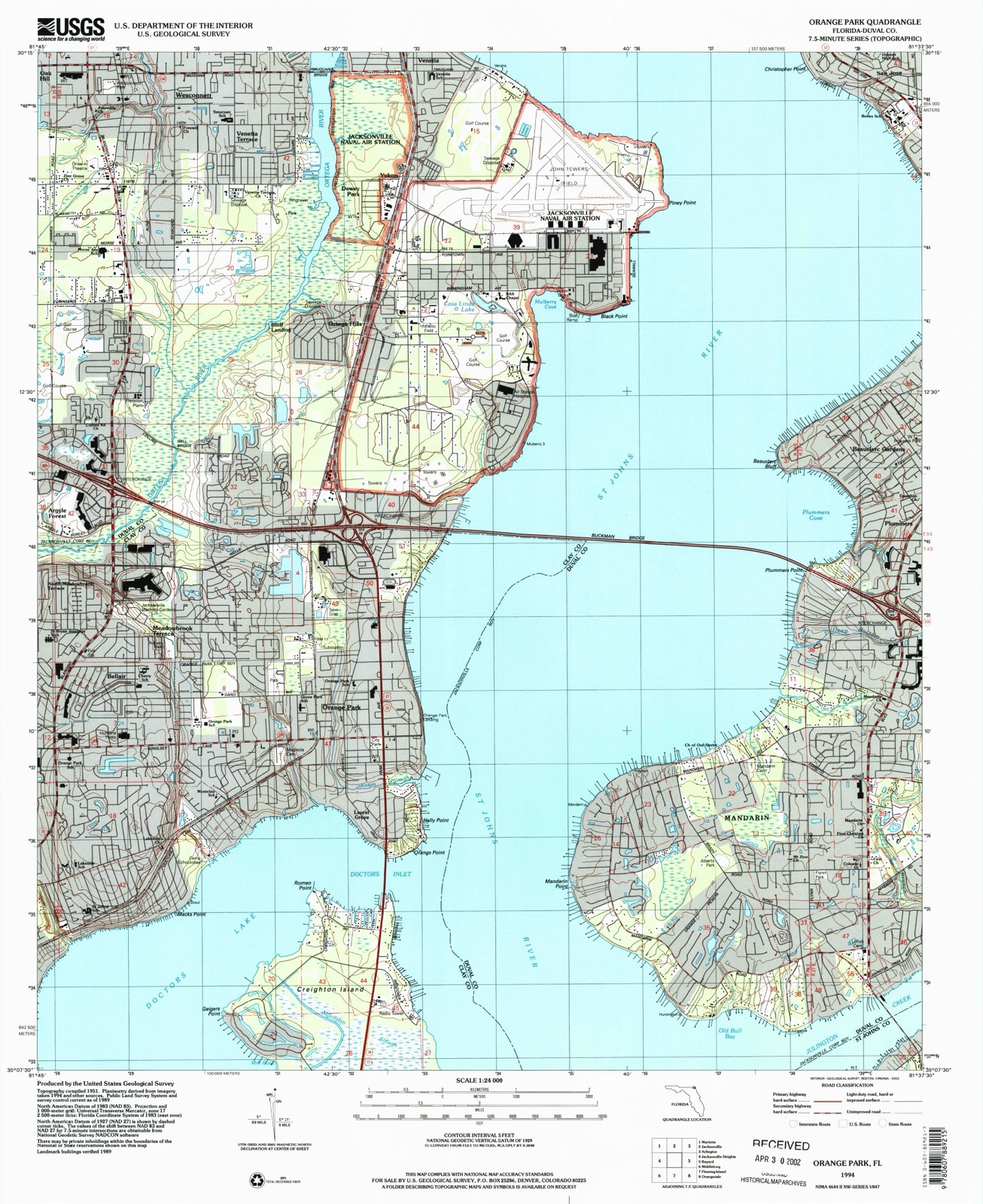
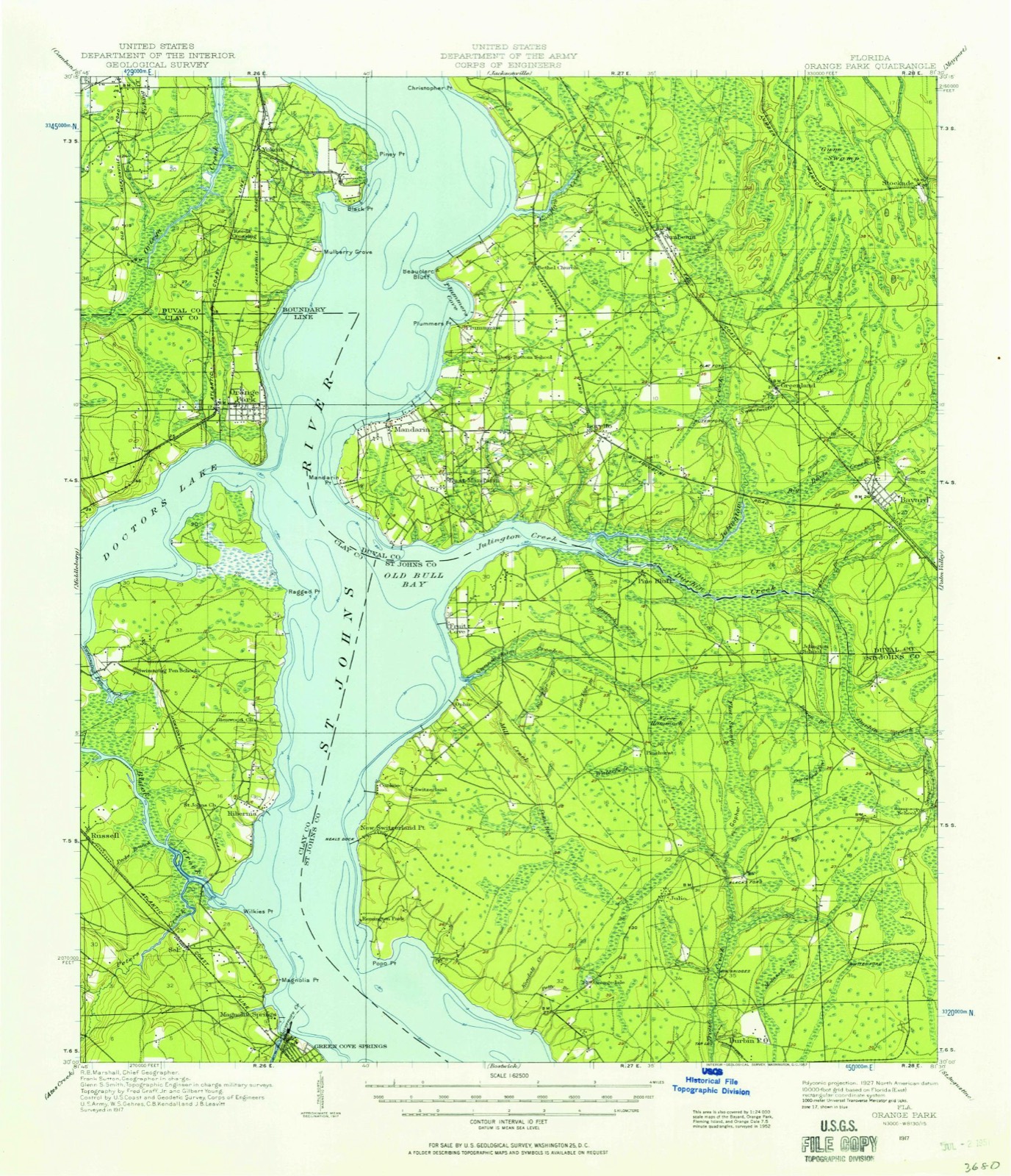
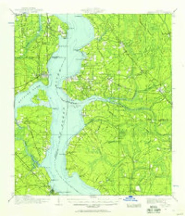
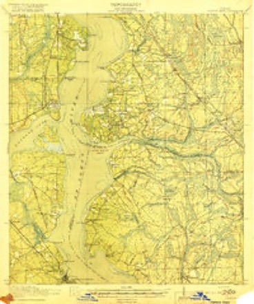
1917 to 1994The same ground, surveyed 77 years apart. Drag the handle to wipe between them. Both sheets are United States Geological Survey originals; neither has been altered.
On record in Orange Park
Buildings and businesses the archive holds for this place. Each opens its own page, with the source record it came from.
On the National Register 8 records
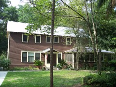 William Clarke Estatelisted 1998
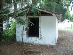 Joseph Green Houselisted 1998
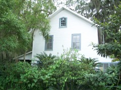 William Helffrich Houselisted 1998
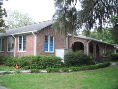 Orange Park Elementary Schoollisted 1998
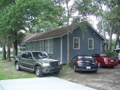 Orange Park Negro Elementary Schoollisted 1998
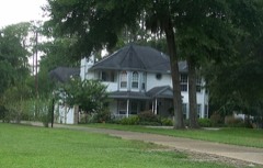 River Road Historic Districtlisted 1998
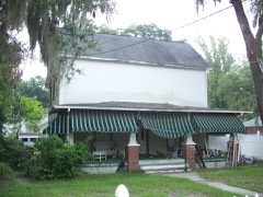 William Westcott Houselisted 1998
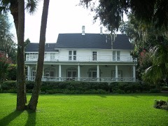 Winterbournelisted 1996
Population over time
2 figuresOrange Park grew from 8,412 to 9,089 between 2010 and 2020. These are the recorded population figures Wikidata holds for this place, reached through the Geographic Names Information System number this page is keyed on rather than by name, so they belong to this place and not to another of the same name. Most are census counts, but not all are: an early figure may be a founding or settlement estimate, and an estimate published within five years of a census is left out. The change column is computed, and is left blank where more than 20 years separate a figure from the one before it, because a gap that long is not a change between two counts.
| Year | People | Change |
|---|---|---|
| 2010 | 8,412 | |
| 2020 | 9,089 | +677 (+8%) |
Topographic sheets covering this place
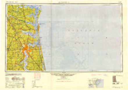
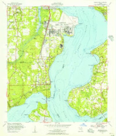
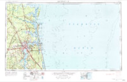
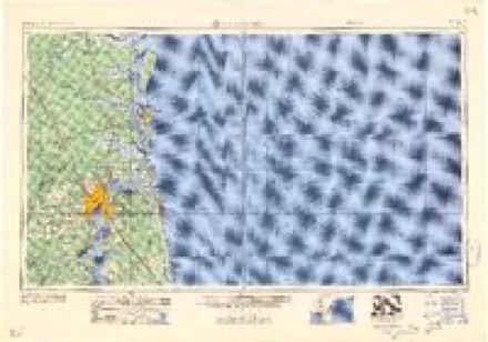
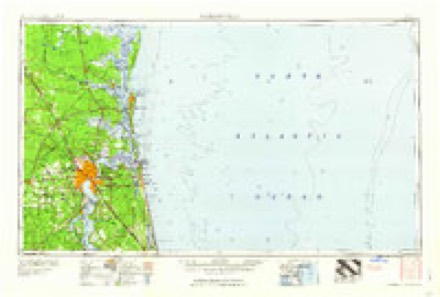
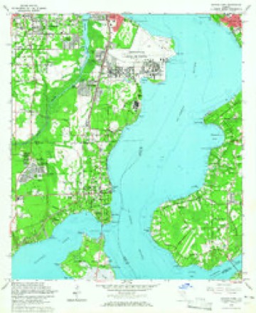
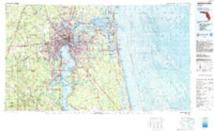
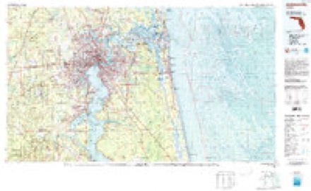
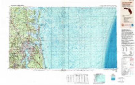
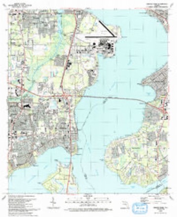
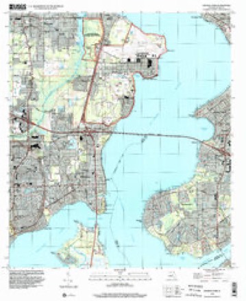
13 surveys from 24 printed sheetsMatched by testing this settlement's coordinate against the published boundary of every sheet in the United States Geological Survey's historical collection. Each opens the scanned sheet at the Survey.
- 1917 USGS Orange Park quadrangle1:62500
- 1918 USGS Orange Park quadrangle1:62500, 5 printings
- 1948 USGS Jacksonville quadrangle1:250000
- 1952 USGS Orange Park quadrangle1:24000
- 1957 USGS Jacksonville quadrangle1:250000, 3 printings
- 1959 USGS Jacksonville quadrangle1:250000
- 1960 USGS Jacksonville quadrangle1:250000
- 1964 USGS Orange Park quadrangle1:24000, 5 printings
- 1977 USGS Jacksonville quadrangle1:100000
- 1980 USGS Jacksonville quadrangle1:100000
- 1988 USGS Jacksonville quadrangle1:250000
- 1993 USGS Orange Park quadrangle1:24000, 2 printings
- 1994 USGS Orange Park quadrangle1:24000
Fires near this place
92 since 1992Regional context, not property-specific evidence. The federal wildfire occurrence database lists 92 fires within 5 miles of Orange Park between 1992 and 2019, burning about 417 acres in total. 15 started naturally. 14 were recorded as arson. Distance is straight-line from the map coordinates, so a fire counted here may appear on a neighbouring settlement's page as well.
| Reported cause | Fires |
|---|---|
| Misuse of fire by a minor | 21 |
| Natural | 15 |
| Arson/incendiarism | 14 |
| Equipment and vehicle use | 14 |
| Railroad operations and maintenance | 11 |
| Missing data/not specified/undetermined | 8 |
| Debris and open burning | 8 |
| Recreation and ceremony | 1 |
The most recent of them, most recent first, with the day each was reported and the service that recorded it.
| Date | Cause | Size | Reported by | Name on the report |
|---|---|---|---|---|
| 21 September 2003 | Misuse of fire by a minor | 6.0 acres | Florida Forest Service | 330 |
| 17 September 1997 | Equipment and vehicle use | 10 acres | Florida Forest Service | not named |
| 17 September 1997 | Equipment and vehicle use | 3.0 acres | Florida Forest Service | not named |
| 16 September 1993 | Misuse of fire by a minor | 1.0 acres | Florida Forest Service | not named |
| 5 August 2014 | Arson/incendiarism | under an acre | Florida Forest Service | ORANGE PARK MALL (10) |
| 30 August 2011 | Missing data/not specified/undetermined | 3.0 acres | Florida Forest Service | ROOSEVELT BLVD (16) |
| 3 August 1999 | Natural | 13 acres | Florida Forest Service | not named |
| 24 August 1994 | Railroad operations and maintenance | 3.0 acres | Florida Forest Service | not named |
Settlements close enough to share some of these fires:
Mines and quarries near this place
1 within 5 milesRegional context, not property-specific evidence. The federal mineral resources record lists 1 working within 5 miles of Orange Park: 1 producer. All of them still produce. What was taken out: Titanium-Heavy Minerals. Distance is straight-line from the map coordinates, so a quarry counted here may appear on a neighbouring settlement's page as well.
| Where | Site | Commodity | Status | Recorded |
|---|---|---|---|---|
| Highland Mine | Titanium-Heavy Minerals | Producer | Leucoxene, Zircon, Kyanite, Rutile |
Storms near this place
60 of 87 shownRegional context, not property-specific evidence. The National Weather Service names Orange Park in 87 storm reports between 1993 and 2025: 49 thunderstorm wind, 20 hail, 10 heavy rain, 3 lightning. No death or injury is recorded in these reports. Each account below is quoted exactly as the forecast office filed it, from the NOAA Storm Events Database, and each date opens the federal record of that event.
| When | Event | Place named | Harm | What the report says |
|---|---|---|---|---|
| June 2003 | Thunderstorm Wind | Orange Park | $60,000 | Large tree through roof of house on Lakefield Lane in Plainfield section of Orange Park. Live oak snapped in half on Dogwood Lane near Doctors Lake. Source Clay Today 6/11/03. |
| July 2002 | Thunderstorm Wind | Orange Park | $10,000 | Large trees down on house. |
| June 2000 | Thunderstorm Wind | Orange Park | $10,000 | Home damaged. |
| March 2001 | Thunderstorm Wind | Orange Park | $6,000 | A tree was blown down on a home. |
| July 2007 | Lightning | Orange Park | $5,000 | Lightning started a fire at the Moosehaven retirement facility. The fire department had to remove a 20 x 30 foot section of roof. Forty residents had to be evacuated. No one was injured. The cost of damage was estimated. |
| June 2002 | Thunderstorm Wind | Orange Park | $5,000 | Large trees and lower lines down over Tacoa Rd. |
| June 2000 | Thunderstorm Wind | Orange Park | $5,000 | Marina roof and a boat was damage. |
| March 1998 | Thunderstorm Wind | Orange Park | $5,000 | Damaged signs. |
| August 1997 | Thunderstorm Wind | Orange Park | $5,000 | Windows were blown out of an office building. Cars were damaged. |
| November 1995 | Thunderstorm Wind | Orange Park | $5,000 | Several reports of large limbs and power lines blown down. |
| August 1993 | Thunderstorm Wind | Orange Park | $5,000 | Strong thunderstorm winds knocked down several trees and damaged a few homes and cars. Damage was mostly minor. |
| November 1995 | Thunderstorm Wind | Orange Park | $4,000 | Trees and power lines were blown down. |
| January 2000 | Thunderstorm Wind | Orange Park | $3,000 | Large trees and power lines were blown down. |
| June 2001 | Thunderstorm Wind | Orange Park | $2,500 | Large trees and power lines were blown down. |
| August 2000 | Thunderstorm Wind | Orange Park | $2,500 | Large trees and power lines were blown down. |
| May 1997 | Thunderstorm Wind | Orange Park | $2,500 | Numerous reports of large trees and power lines blown down. |
| June 2019 | Thunderstorm Wind | Orange Park | $2,000 | A spotter reported wind damage near Reed Street and Via Tisdalle where an oak tree was blown down. There was also tree and power line damage on Stowe Avenue between US 17 and Astor Street. The cost of damage was estimated. |
| June 2010 | Lightning | Orange Park | $2,000 | A structure fire was caused by a lightning strike on Red Oak Circle. The cost of damage was estimated. |
| July 2002 | Thunderstorm Wind | Orange Park | $2,000 | Large trees down on highway 17. |
| July 2002 | Thunderstorm Wind | Orange Park | $2,000 | Large trees down onto power lines. |
| February 1996 | Thunderstorm Wind | Orange Park | $2,000 | no account filed |
| February 1998 | Thunderstorm Wind | Orange Park | $1,500 | Large tress and power lines were blown down. |
| July 1997 | Thunderstorm Wind | Orange Park | $1,500 | Large trees and power lines were blown down. |
| January 1996 | Thunderstorm Wind | Orange Park | $1,500 | no account filed |
| February 1996 | Thunderstorm Wind | Orange Park | $1,500 | no account filed |
| July 2018 | Thunderstorm Wind | Orange Park | $1,000 | Trees were blown down in Heritage Hills. The time of damage was based on radar. The cost of damage was unknown, but it was estimated for the inclusion Storm Data. |
| August 1998 | Thunderstorm Wind | Orange Park | $1,000 | Large trees and power lines were blown down. |
| September 1995 | Thunderstorm Wind | Orange Park | $1,000 | Several reports of large trees and power lines blown down, across the northern portion of the county. |
| June 1996 | Thunderstorm Wind | Orange Park | $500 | no account filed |
| August 2025 | Flash Flood | Orange Park | - | By 5 pm, several public weather stations on Fleming Island had measured 2-3+ inches of rain since about 4pm. At 5 pm, the public shared a video via social media of several inches of water over the roadway on US 17 in Orange Park. At 5:05 pm, the public reported flooding along Russell Rd in Green Cove Springs. Floodwaters went halfway up car tires. By 5:54 pm, a spotter reported there were several impassable roads in Orange Park due to flood waters, as well as a stalled vehicle near Bellair Blvd. |
| June 2020 | Thunderstorm Wind | Orange Park | - | Multiple trees were blown down in Orange Park. There were numerous power outages. |
| June 2020 | Thunderstorm Wind | Orange Park | - | A tree was blown down on Loretto Road near Mandarin Presbyterian Church. |
| June 2020 | Thunderstorm Wind | Orange Park | - | Two trees were blown down onto a home in Orange Park. |
| June 2015 | Thunderstorm Wind | Orange Park | - | A tree was blown down onto a home and severely damaged the roof. The family was relocated to a hotel. The time of the event was based on radar. |
| May 2014 | Hail | Orange Park | - | Dime size hail was reported off of Wells Road in Orange Park. |
| July 2013 | Thunderstorm Wind | Orange Park | - | A tree was blown down and blocking the road near 395 Dunwoodie Road. |
| March 2013 | Heavy Rain | Orange Park | - | A spotter measured 2.75 inches of rainfall in 6 hours in Orange Park. |
| June 2013 | Hail | Orange Park | - | Penny size was observed in Orange Park. |
| May 2012 | Heavy Rain | Orange Park | - | Five hour rainfall totals were near 4.29 inches. |
| July 2011 | Thunderstorm Wind | Orange Park | - | A large oak tree was blown down at the 800 block of Kingsley Ave. |
| June 2009 | Thunderstorm Wind | Orange Park | - | Wind gusts to 60 mph were estimated at Whitey's Fish Camp. |
| December 2009 | Heavy Rain | Orange Park | - | Volunteers measured 2.46 and 2.47 inches of rainfall in 24 hrs in Orange Park. |
| July 2008 | Thunderstorm Wind | Orange Park | - | A spotter in Doctors Inlet reported limbs blown down from a large oak trees about 0.5 miles from the railroad tracks. |
| July 2008 | Thunderstorm Wind | Orange Park | - | Power lines were blown down in Orange Park and around 4,000 customers were without power. |
| April 2007 | Thunderstorm Wind | Orange Park | - | Trees were blown down across Fleming Island. One tree was blown down on a fence in the Stoney Glen neighborhood of Eagle Harbor. |
| July 2007 | Thunderstorm Wind | Orange Park | - | Power lines and large tree limbs were blown down in Orange Park. Power was lost. |
| July 2007 | Thunderstorm Wind | Orange Park | - | A downburst occurred over Orange Park and Fleming Island around 530 pm local time. At 530 pm, a former NWS employee in Orange Park reported a wall cloud with strong rotation. The cloud snapped tree tops in the neighborhood. A roof was also blown off a home on Arbor Circle Drive. By 532 pm, numerous trees were down in Doctors Inlet and Fleming Island. Trees were blown down across the CSX railroad tracks in Doctors Inlet and a gas station also suffered tree damage. At 540 pm, winds were gusting around 50 mph and pea size hail was reported on Fleming Island. Wind gusts snapped a pine tree which fell and damaged a screened room in Eagle Harbor. By 545 pm, widespread tree damage occurred on the southern tier of Fleming Island, south of Hibernia and north of Black Creek. Tree tops were snapped and blown off in Fleming Island Plantation, and some were blocking roads in the subdivision. Minor damage occurred to a mobile home on Floyd Street and a cabinet shop off of Ebb Tide Road and U.S. Highway 17 had roof damage. A portion of the baseball backstop at St. Johns Country Day School on Doctors Lake Drive was bent and several large trees on campus were snapped or uprooted. |
| September 2004 | Tornado (F0) | Orange Park | - | Hurricane "Frances"Trained spotter reported a tornado in Orange Park. Widespread damage occurred to trees and the power went out. |
| March 2003 | Funnel Cloud | Orange Park | - | Near Clay Hill Elementary School. |
| March 2003 | Hail | Orange Park | - | Along State Road 220. |
| March 2003 | Hail | Orange Park | - | Quarter sized hail reported in Eagle Harbor. |
| June 2003 | Thunderstorm Wind | Orange Park | - | Large trees down on US Highway 17 south of Kingsley. |
| June 2003 | Thunderstorm Wind | Orange Park | - | Trees uprooted and felled across power lines. 21,000 people affected by power outages. Source Florida Times Union 6/7/03. |
| July 2003 | Thunderstorm Wind | Orange Park | - | Power lines down in northern portions of town. |
| July 2003 | Thunderstorm Wind | Orange Park | - | Two miles south of Kingley Ave, Orange Park. Tree limbs broken and on ground. |
| August 2003 | Heavy Rain | Orange Park | - | Heavy rainfall caused extensive street flooding along U.S. Highway 17/Park Ave in Orange park and south to near the Eagle Harbor Subdivision. Most significant flooding at Park Ave and Kingsley Ave. |
| October 2003 | Heavy Rain | Orange Park | - | Heavy rainfall occurred with a line of thunderstorms causing street flooding in poor drainage areas. A car was stalled in street flooding on U.S. 17 and Stiles Ave. |
| July 2002 | Flood | Orange Park | - | Street flooding near Orange Park Mall. |
| September 1993 | Thunderstorm Wind | Orange Park | - | Thunderstorm gusts to 68 mph occurred at Orange Park. |
| May 2006 | Hail | Orange Park | - | no account filed |
Nearest settlements
The eight closest, with where each one stands in the county. Distances are straight-line, computed from the Geographic Names Information System coordinates.
| Map | Place | Distance | Sheets |
|---|---|---|---|
| Laurel Grove | 0.8 miles | 24 | |
| Holly Point | 0.9 miles | 24 | |
| Camp Echockotee | 1.4 miles | 24 | |
| Meadowbrook Terrace | 1.7 miles | 24 | |
| Bellair | 1.9 miles | 24 | |
| North Meadowbrook Terrace | 2.5 miles | 24 | |
| Neilhurst | 3.3 miles | 20 | |
| Lakeside | 4.1 miles | 24 |
Elsewhere
Matched on this settlement's Geographic Names Information System number rather than its name, so it cannot be a different place of the same name in another state.
| Wikipedia article on Orange Park | An encyclopaedic summary. Its text is share-alike, so it is linked here rather than copied. |
| Wikidata item Q367316 | The structured record the population and elevation above come from. Public domain (CC0). |
Provenance
This settlement is recorded in the Geographic Names Information System as feature 288219. The sheet list is computed by point-in-boundary test against the United States Geological Survey's historical topographic inventory. Both are works of the United States government and carry no copyright under 17 U.S.C. 105.
Wildfire. Short, Karen C. 2022. Spatial wildfire occurrence data for the United States, 1992-2020 [FPA_FOD_20221014]. 6th Edition. Fort Collins, CO: Forest Service Research Data Archive. https://doi.org/10.2737/RDS-2013-0009.6 Collected with United States Government funding and usable without additional permissions or fees.
Mines and quarries. USGS Mineral Resources Data System (MRDS) https://mrdata.usgs.gov/mrds/ A work of the United States government, no copyright under 17 U.S.C. 105.
Storms. NOAA National Centers for Environmental Information, Storm Events Database https://www.ncei.noaa.gov/stormevents/ A work of the United States government, no copyright under 17 U.S.C. 105. Narratives are quoted verbatim from the National Weather Service report and are not edited or summarised.