 Block
BlockPalm Harbor, Florida
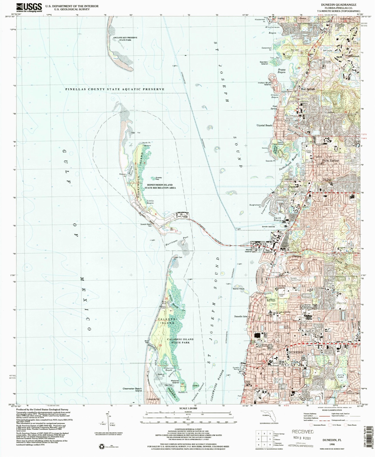
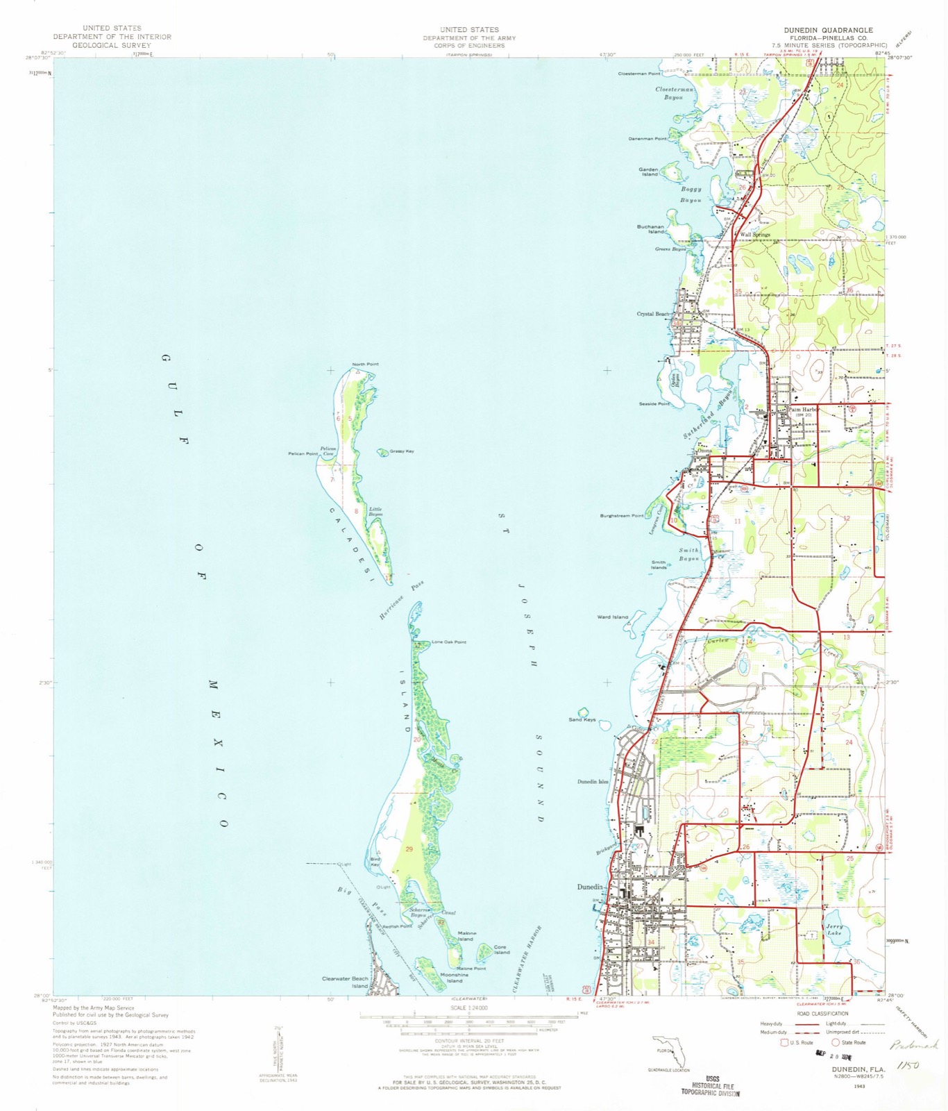
17 topographic sheets cover this place, the earliest surveyed in 1943 and the latest in 1998. It stands in the Tarpon Springs census division. It lies in ZIP code area 34683. The Survey maps it on the Dunedin quadrangle. 61,366 people lived here at the 2020 count. It stands 49 feet above sea level.
Then and now
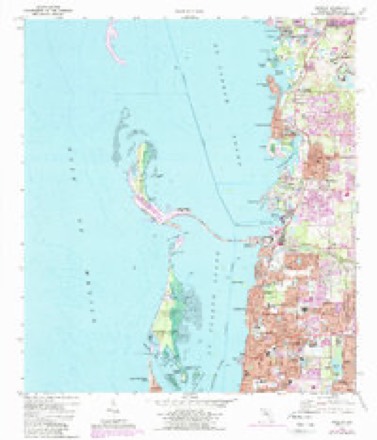
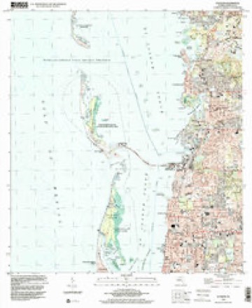
1943 to 1998The same ground, surveyed 55 years apart. Drag the handle to wipe between them. Both sheets are United States Geological Survey originals; neither has been altered.
Population over time
2 figuresPalm Harbor grew from 57,439 to 61,366 between 2010 and 2020. These are the recorded population figures Wikidata holds for this place, reached through the Geographic Names Information System number this page is keyed on rather than by name, so they belong to this place and not to another of the same name. Most are census counts, but not all are: an early figure may be a founding or settlement estimate, and an estimate published within five years of a census is left out. The change column is computed, and is left blank where more than 20 years separate a figure from the one before it, because a gap that long is not a change between two counts.
| Year | People | Change |
|---|---|---|
| 2010 | 57,439 | |
| 2020 | 61,366 | +3,927 (+7%) |
Topographic sheets covering this place
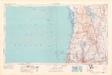
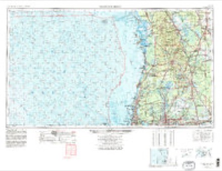
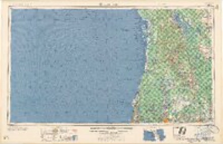
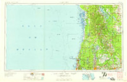
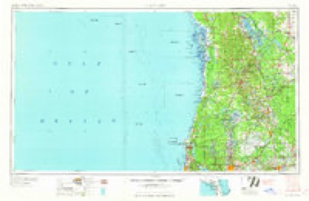
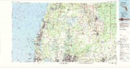
10 surveys from 17 printed sheetsMatched by testing this settlement's coordinate against the published boundary of every sheet in the United States Geological Survey's historical collection. Each opens the scanned sheet at the Survey.
- 1943 USGS Dunedin quadrangle1:24000, 2 printings
- 1943 USGS Dunedin quadrangle1:31680
- 1955 USGS Plant City quadrangle1:250000, 3 printings
- 1955 USGS Tarpon Springs quadrangle1:250000, 3 printings
- 1958 USGS Plant City quadrangle1:250000
- 1959 USGS Plant City quadrangle1:250000
- 1964 USGS Plant City quadrangle1:250000
- 1974 USGS Dunedin quadrangle1:24000, 3 printings
- 1978 USGS Tarpon Springs quadrangle1:100000
- 1998 USGS Dunedin quadrangle1:24000
Fires near this place
35 since 1992Regional context, not property-specific evidence. The federal wildfire occurrence database lists 35 fires within 5 miles of Palm Harbor between 1992 and 2018, burning about 294 acres in total. 9 started naturally. 3 were recorded as arson. Distance is straight-line from the map coordinates, so a fire counted here may appear on a neighbouring settlement's page as well.
| Reported cause | Fires |
|---|---|
| Natural | 9 |
| Misuse of fire by a minor | 7 |
| Missing data/not specified/undetermined | 6 |
| Railroad operations and maintenance | 5 |
| Arson/incendiarism | 3 |
| Equipment and vehicle use | 3 |
| Power generation/transmission/distribution | 1 |
| Smoking | 1 |
The most recent of them, most recent first, with the day each was reported and the service that recorded it.
| Date | Cause | Size | Reported by | Name on the report |
|---|---|---|---|---|
| 24 August 1993 | Natural | 40 acres | Florida Forest Service | not named |
| 2 August 1999 | Natural | 31 acres | Florida Forest Service | not named |
| 31 July 1999 | Natural | under an acre | Florida Forest Service | not named |
| 30 July 1993 | Natural | 6.0 acres | Florida Forest Service | not named |
| 12 July 1994 | Natural | under an acre | Florida Forest Service | not named |
| 8 June 2014 | Misuse of fire by a minor | 2.5 acres | Florida Forest Service | MARINER POINT (52) |
| 7 June 1993 | Missing data/not specified/undetermined | 2.0 acres | Florida Forest Service | not named |
| 21 June 2010 | Natural | under an acre | Florida Forest Service | 52 SAFETY HARBOR FIRE |
Settlements close enough to share some of these fires:
Storms near this place
23 since 1997Regional context, not property-specific evidence. The National Weather Service names Palm Harbor in 23 storm reports between 1997 and 2024: 9 lightning, 5 thunderstorm wind, 4 hail, 3 waterspout. No death or injury is recorded in these reports. Each account below is quoted exactly as the forecast office filed it, from the NOAA Storm Events Database, and each date opens the federal record of that event.
| When | Event | Place named | Harm | What the report says |
|---|---|---|---|---|
| August 2000 | Tornado (F0) | Palm Harbor | $500,000 | A waterspout moved onshore as a small F0 tornado, estimated maximum winds of 60 to 70 mph, at Carlyle Circle on Indian Bluff Island, two miles northwest of Palm Harbor. The micro sized tornado moved southeast and caused sporadic roof tile, lanai, boat dock and tree damage along Arrow and Carlyle Drives. The tornado continued southeast and caused sporadic roof tile and tree damage along Phillips Way. The small tornado continued southeast and destroyed the rear lanai of a home and caused structural damage to the second floor lanai and rear roof of a second home at the intersection of Ocean View Avenue and the Pinellas Trail.The tornado track shifted slightly to an east-southeast direction and crossed U.S. Highway Alternate 19 at the intersection of De Soto Boulevard where it caused sporadic tree and roof tile damage. The micro sized tornado damage path shrank to less than 10 yards wide as it moved over a heavily tree filled subdivision north of County Road 816 (Alderman Road). The tornado snapped several pine trees and toppled a few large oak trees along a narrow path that traversed Enniswood Parkway, Enisgrove Drive North, Glenside Avenue, Glenwood Court, Crestwood Lane, Harvest Moon Drive, Rolling Woods Drive, Eaglenest, Lepprechaun Lane, Pine Hill Road before it lifted and dissipated near the intersection of Alderman and Belcher Roads. |
| June 1997 | Lightning | Palm Harbor | $75,000 | Lightning struck and sent a power surge through the electrical system of a home on Omaha Street in Palm Harbor. The electrical surge caused by the lighting strike touched off a blaze which consumed the home. |
| August 2024 | Lightning | Palm Harbor | $50,000 | Media relayed report of a lightning strike that caused a tree to split and fall on multiple vehicles in the Wedgewood community near Palm Harbor. |
| September 2014 | Lightning | Palm Harbor | $50,000 | A broadcast media outlet reported that a emergency responders were called to a fire at a house at 1:06PM local time. Neighbors reported hearing and seeing a lightning strike to the home before the fire broke out. |
| September 2000 | Thunderstorm Wind | Palm Harbor | $25,000 | The public reported that thunderstorm winds damaged the roof of a commercial building under construction, downed a few large trees and several large branches near the intersection of U.S. Highway 19 and Tampa Road in Palm Harbor. |
| August 2000 | Waterspout | Palm Harbor | $25,000 | A waterspout severely damaged a boat docked at a pier on Carlyle Circle on Indian Bluff Island, two miles northwest of Palm Harbor. |
| July 2016 | Lightning | Palm Harbor | $15,000 | Dunnellon Fire Rescue reported a fire to a house on Lake Shore Drive in Palm Harbor that was suspected to be caused by a lightning strike. The fire did minor damage before being extinguished. |
| March 1998 | Thunderstorm Wind | Palm Harbor | $15,000 | Thunderstorm winds of up to 50 mph downed a large tree which crushed a parked vehicle in Palm Harbor. |
| August 2013 | Lightning | Palm Harbor | $10,000 | A lightning strike caused a house fire to a two-story house in the East Lake Neighborhood. No injuries were reported. |
| May 2016 | Thunderstorm Wind | Palm Harbor | $1,500 | Local broadcast media coverage showed a large oak tree down on Beaver Dr. in the Springdale subdivision. |
| March 2014 | Thunderstorm Wind | Palm Harbor | $1,000 | An amateur radio operator reported an uprooted oak tree in Palm Harbor. |
| October 2002 | Lightning | Palm Harbor | $1,000 | Lightning struck a home and caused minor damage. |
| June 1999 | Lightning | Palm Harbor | $1,000 | Lightning struck a home on the 2900 block of East Orange Tree Circle in Palm Harbor and damaged several ceiling fans and the motor of a garage door opener. Lightning also struck on the 900 block of Wicks Drive which blew a hole in the roof and wall of a home. |
| August 1998 | Lightning | Palm Harbor | $1,000 | Lightning struck the antenna of a television which caught fire and damaged the interior of a condo on the 1800 block of Pine Ridge Way West in Palm Harbor. |
| May 2024 | Thunderstorm Wind | Palm Harbor | - | A home weather station near Palm Harbor reported a 64 mph wind gust. |
| November 2020 | Tornado (EFU) | Palm Harbor | - | Developing tornado initially reported via public near Cambridge Blvd. in East Lake in Pinellas County. No damage reported in Pinellas County as path continued northeast intermittently into Pasco County. The tornado was then reported via a storm spotter near SR 54 and Suncoast Parkway where a nearby residence reported downed tree limbs and patio furniture blown around. |
| June 2019 | Hail | Palm Harbor | - | A SKYWARN spotter reported about 3 minutes of nickel sized hail near Ridgemoor Boulevard and East Lake Road. |
| July 2006 | Hail | Palm Harbor | - | One inch hail was reported at the YMCA at East Lake and in the city of Palm Harbor. |
| July 2002 | Lightning | Palm Harbor | - | A home was struck but little damage was reported. |
| September 2000 | Waterspout | Palm Harbor | - | A waterspout was reported by the public two miles north of Honeymoon Island or about four miles northwest of Palm Harbor. |
| July 1999 | Hail | Palm Harbor | - | Nickel sized hail was reported at the intersection of U.S. Highway 19 and Tampa Road by the public through Bay News Nine Cable. |
| September 1997 | Waterspout | Palm Harbor | - | A waterspout was observed offshore with two additional funnel clouds around it. |
| May 2005 | Hail | Palm Harbor | - | no account filed |
Nearest settlements
The eight closest, with where each one stands in the county. Distances are straight-line, computed from the Geographic Names Information System coordinates.
| Map | Place | Distance | Sheets |
|---|---|---|---|
| Ozona | 0.9 miles | 17 | |
| Acklocknayke (historical) | 1.1 miles | 17 | |
| Crystal Beach | 1.3 miles | 17 | |
| Wall Springs | 1.7 miles | 17 | |
| Curlew | 2.0 miles | 16 | |
| Innisbrook | 2.4 miles | 17 | |
| Lake Shore Estates | 2.4 miles | 16 | |
| Saint George | 2.4 miles | 16 |
Elsewhere
Matched on this settlement's Geographic Names Information System number rather than its name, so it cannot be a different place of the same name in another state.
| Wikipedia article on Palm Harbor | An encyclopaedic summary. Its text is share-alike, so it is linked here rather than copied. |
| Wikidata item Q1964822 | The structured record the population and elevation above come from. Public domain (CC0). |
Provenance
This settlement is recorded in the Geographic Names Information System as feature 288399. The sheet list is computed by point-in-boundary test against the United States Geological Survey's historical topographic inventory. Both are works of the United States government and carry no copyright under 17 U.S.C. 105.
Wildfire. Short, Karen C. 2022. Spatial wildfire occurrence data for the United States, 1992-2020 [FPA_FOD_20221014]. 6th Edition. Fort Collins, CO: Forest Service Research Data Archive. https://doi.org/10.2737/RDS-2013-0009.6 Collected with United States Government funding and usable without additional permissions or fees.
Storms. NOAA National Centers for Environmental Information, Storm Events Database https://www.ncei.noaa.gov/stormevents/ A work of the United States government, no copyright under 17 U.S.C. 105. Narratives are quoted verbatim from the National Weather Service report and are not edited or summarised.