 Block
BlockPort Everglades, Florida
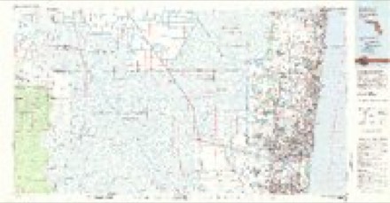
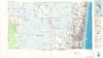
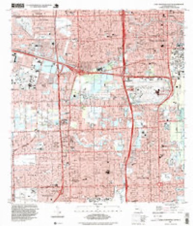
16 topographic sheets cover this place, the earliest surveyed in 1949 and the latest in 1994. It stands in the Fort Lauderdale census division. It lies in ZIP code area 33316. It stands on New River. The Survey maps it on the Fort Lauderdale South quadrangle.
Then and now
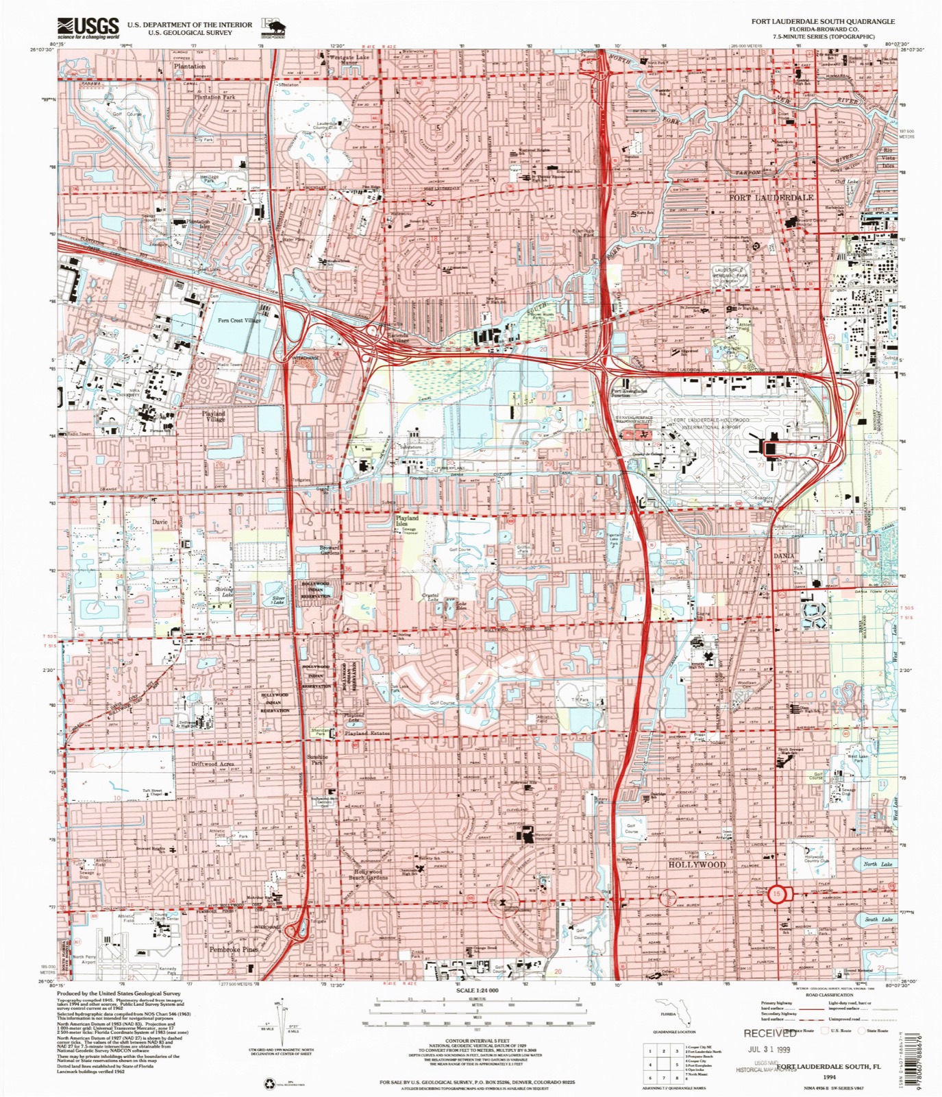
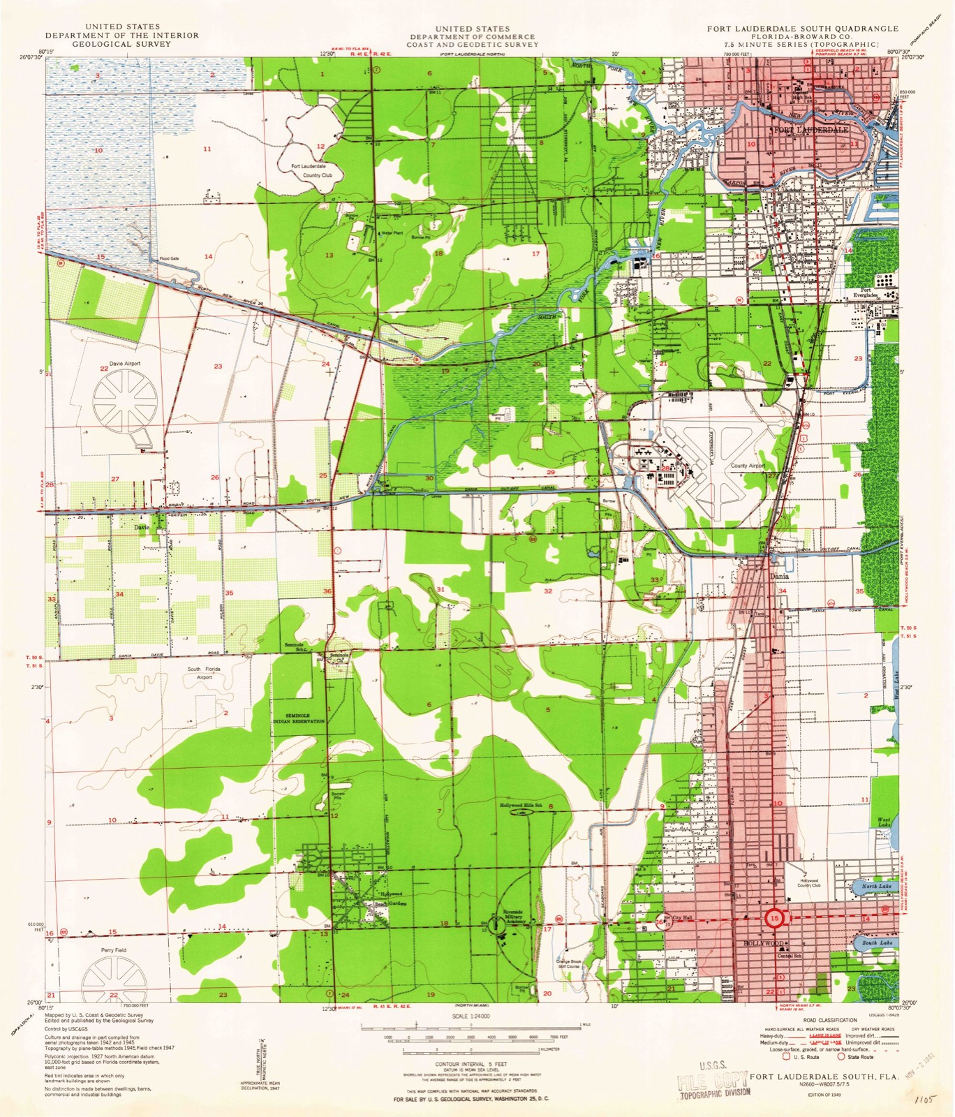
1949 to 1994The same ground, surveyed 45 years apart. Drag the handle to wipe between them. Both sheets are United States Geological Survey originals; neither has been altered.
Compare 1949 against another survey:
Topographic sheets covering this place
9 surveys from 16 printed sheetsMatched by testing this settlement's coordinate against the published boundary of every sheet in the United States Geological Survey's historical collection. Each opens the scanned sheet at the Survey.
- 1949 USGS Fort Lauderdale South quadrangle1:24000, 2 printings
- 1956 USGS West Palm Beach quadrangle1:250000, 2 printings
- 1957 USGS West Palm Beach quadrangle1:250000
- 1958 USGS West Palm Beach quadrangle1:250000, 2 printings
- 1962 USGS Fort Lauderdale South quadrangle1:24000, 3 printings
- 1981 USGS Fort Lauderdale quadrangle1:100000
- 1985 USGS Fort Lauderdale quadrangle1:100000, 2 printings
- 1987 USGS West Palm Beach quadrangle1:250000, 2 printings
- 1994 USGS Fort Lauderdale South quadrangle1:24000




Fires near this place
3 since 2009Regional context, not property-specific evidence. The federal wildfire occurrence database lists 3 fires within 5 miles of Port Everglades between 2009 and 2015, burning about 14 acres in total. 1 started naturally. None was recorded as arson. Distance is straight-line from the map coordinates, so a fire counted here may appear on a neighbouring settlement's page as well.
| Reported cause | Fires |
|---|---|
| Recreation and ceremony | 1 |
| Natural | 1 |
| Missing data/not specified/undetermined | 1 |
The most recent of them, most recent first, with the day each was reported and the service that recorded it.
| Date | Cause | Size | Reported by | Name on the report |
|---|---|---|---|---|
| 25 May 2015 | Natural | 3.0 acres | Florida Forest Service | MEMORIAL (6) |
| 11 February 2009 | Recreation and ceremony | 7.0 acres | Florida Forest Service | 900 |
| 23 November 2011 | Missing data/not specified/undetermined | 4.0 acres | Florida Forest Service | DUMP ( 06) |
Settlements close enough to share some of these fires:
Mines and quarries near this place
6 within 5 milesRegional context, not property-specific evidence. The federal mineral resources record lists 6 workings within 5 miles of Port Everglades: 4 past producers, 2 producers. 2 still produce. What was taken out: Stone, Crushed/Broken, Sand and Gravel, Construction, Peat, Sand and Gravel, Construction. Distance is straight-line from the map coordinates, so a quarry counted here may appear on a neighbouring settlement's page as well.
| Where | Site | Commodity | Status | Recorded |
|---|---|---|---|---|
| Dania Pit | Peat, Sand and Gravel, Construction | Past Producer | ||
| Pegram Mine | Sand and Gravel, Construction | Past Producer | ||
| Sterling Road Pit | Sand and Gravel, Construction | Past Producer | ||
| Gateway Quarry | Stone, Crushed/Broken | Past Producer | ||
| Rhodes Pit | Stone, Crushed/Broken | Producer | ||
| State Road Quarry | Stone, Crushed/Broken | Producer |
Storms near this place
8 since 2007Regional context, not property-specific evidence. The National Weather Service names Port Everglades in 8 storm reports between 2007 and 2024: 4 tornado, 2 hail, 2 thunderstorm wind. The reports record 4 injuries. Each account below is quoted exactly as the forecast office filed it, from the NOAA Storm Events Database, and each date opens the federal record of that event.
| When | Event | Place named | Harm | What the report says |
|---|---|---|---|---|
| May 2015 | Tornado (EF0) | Port Everglades | 4 hurt | Fire Rescue and video report confirmed a waterspout came onshore Fort Lauderdale Beach around 1200 PM EDT. Inflatable bounce-house was lifted into the air. Four people were injured, including one adult and three children. One of the injuries was serious. The rating was EF0 with a maximum distance estimated to be 100 yards and maximum width estimated to be 10 yards. |
| January 2024 | Tornado (EF0) | Port Everglades | $150,000 | A tornado affected the downtown Fort Lauderdale area on the evening of January 6th. First visible signs of damage were along SE 12TH ST where large branches were down in front of a home. The tornado then traveled 1.5 miles northeast through portions of Rio Vista Isles, across the New River, and then across several streets just south of Sunset Lake before lifting in the vicinity of East Las Olas Blvd per video evidence. Most of the damage observed along the path was minor tree, roof, and power line damage. Therefore, the tornado is rated as an EF-0 with estimated maximum winds near 80 mph, however, most of the damage was likely in the 60-70 mph range. Damage amounts are estimated. |
| June 2023 | Hail | Port Everglades | - | Half dollar size hail was reported at Marina Mile Boulevard and SW 9th Avenue. At nearby Fort Lauderdale/Hollywood International Airport, a couple of cars had hail damage. |
| March 2016 | Tornado (EF0) | Port Everglades | - | A tornado briefly touched down on the sand right along Fort Lauderdale Beach near the 600 block of Seabreeze Boulevard/A1A. The tornado flipped a few small boats and kayaks stored along the beach, beach chairs were flipped, and small signs blown down. No damage was observed to any nearby trees or buildings on the west side of A1A. The tornado became a waterspout as it moved off to the north-northeast into the Atlantic Ocean. |
| February 2016 | Thunderstorm Wind | Port Everglades | - | Numerous trees and powerlines down in Port Everglades area, including a 20 inch diameter pine tree snapped at its top. A catamaran capsized on Lake Sylvia with the owner trapped inside who was later rescued by Fire Rescue. An additional boat also capsized in the Port Everglades area. Dozens of beach chairs along Fort Lauderdale Beach were also tossed around and into the Atlantic. Radar winds estimated at 60 to 70 mph at the time of the damage. |
| February 2016 | Tornado (EF0) | Port Everglades | - | Numerous trees and powerlines down in Port Everglades area, including a 20 inch diameter pine tree snapped at its top. A catamaran capsized on Lake Sylvia with the owner trapped inside who was later rescued by Fire Rescue. An additional boat also capsized in the Port Everglades area. Dozens of beach chairs along Fort Lauderdale Beach were also tossed around and into the Atlantic. |
| June 2009 | Thunderstorm Wind | Port Everglades | - | Measured at Port Everglades. |
| February 2007 | Hail | Port Everglades | - | Reported near the Broward County Convention Center. |
Nearest settlements
The eight closest, with where each one stands in the county. Distances are straight-line, computed from the Geographic Names Information System coordinates.
| Map | Place | Distance | Sheets |
|---|---|---|---|
| Lauderdale Harbors | 0.6 miles | 16 | |
| Harbor Heights | 0.8 miles | 18 | |
| Harbor Beach | 0.9 miles | 18 | |
| Rio Vista Isles | 1.0 miles | 18 | |
| Nurmi Isles | 1.8 miles | 18 | |
| Fort Lauderdale | 1.9 miles | 16 | |
| Sunrise Key | 2.4 miles | 17 | |
| Port Everglades Junction | 2.5 miles | 16 |
Provenance
This settlement is recorded in the Geographic Names Information System as feature 295554. The sheet list is computed by point-in-boundary test against the United States Geological Survey's historical topographic inventory. Both are works of the United States government and carry no copyright under 17 U.S.C. 105.
Wildfire. Short, Karen C. 2022. Spatial wildfire occurrence data for the United States, 1992-2020 [FPA_FOD_20221014]. 6th Edition. Fort Collins, CO: Forest Service Research Data Archive. https://doi.org/10.2737/RDS-2013-0009.6 Collected with United States Government funding and usable without additional permissions or fees.
Mines and quarries. USGS Mineral Resources Data System (MRDS) https://mrdata.usgs.gov/mrds/ A work of the United States government, no copyright under 17 U.S.C. 105.
Storms. NOAA National Centers for Environmental Information, Storm Events Database https://www.ncei.noaa.gov/stormevents/ A work of the United States government, no copyright under 17 U.S.C. 105. Narratives are quoted verbatim from the National Weather Service report and are not edited or summarised.