 Block
BlockSanta Rosa Beach, Florida
16 topographic sheets cover this place, the earliest surveyed in 1936 and the latest in 1996. It stands in the Walton Beaches census division. It lies in ZIP code area 32459. It stands on Churchill Bayou. The Survey maps it on the Freeport quadrangle. It stands 193 feet above sea level.
Then and now
1936 to 1996The same ground, surveyed 60 years apart. Drag the handle to wipe between them. Both sheets are United States Geological Survey originals; neither has been altered.
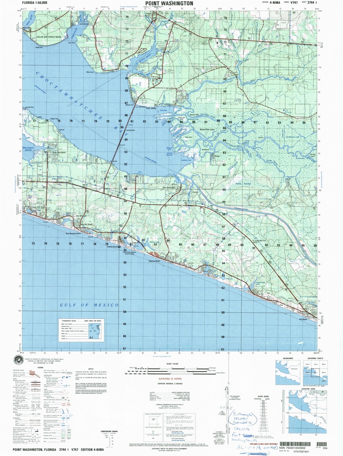
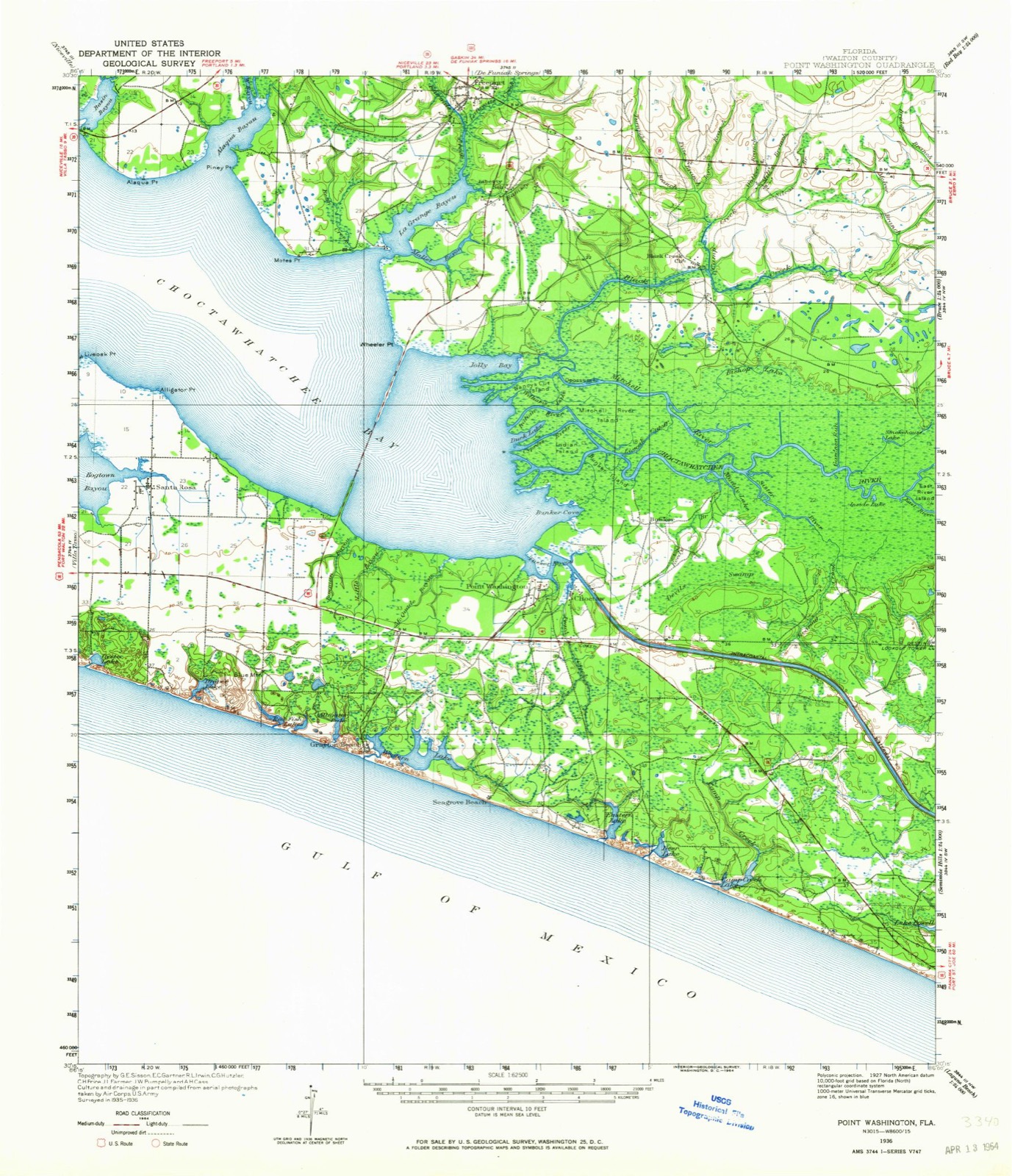
Compare 1936 against another survey:
On record in Santa Rosa Beach
Buildings and businesses the archive holds for this place. Each opens its own page, with the source record it came from.
On the National Register 1 record
- Eden Mansionlisted 2021
Topographic sheets covering this place
10 surveys from 16 printed sheetsMatched by testing this settlement's coordinate against the published boundary of every sheet in the United States Geological Survey's historical collection. Each opens the scanned sheet at the Survey.
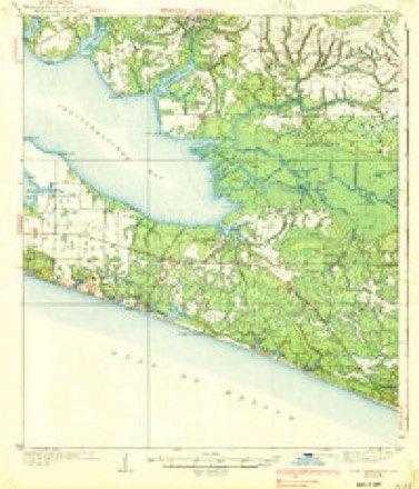
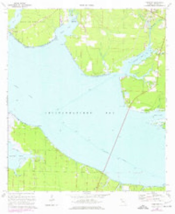
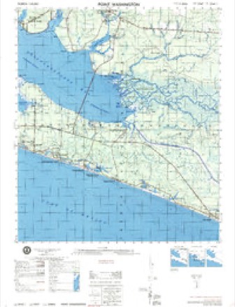
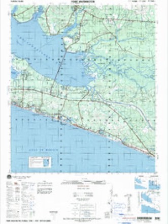
- 1936 USGS Point Washington quadrangle1:62500
- 1936 USGS Point Washington quadrangle1:48000
- 1939 USGS Point Washington quadrangle1:62500, 3 printings
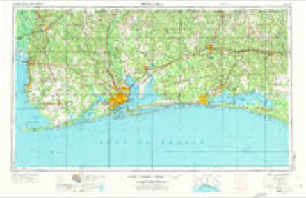
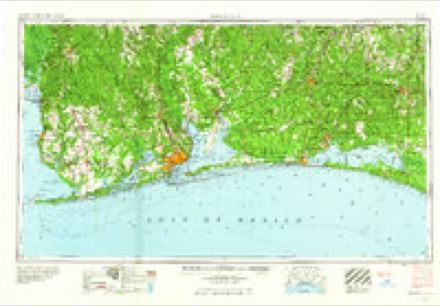
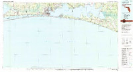
- 1957 USGS Pensacola quadrangle1:250000, 3 printings
- 1959 USGS Pensacola quadrangle1:250000
- 1960 USGS Pensacola quadrangle1:250000
- 1970 USGS Freeport quadrangle1:24000, 2 printings
- 1974 USGS Point Washington quadrangle1:50000
- 1978 USGS Fort Walton Beach quadrangle1:100000, 2 printings
- 1996 USGS Point Washington quadrangle1:50000
Fires near this place
228 since 1992Regional context, not property-specific evidence. The federal wildfire occurrence database lists 228 fires within 5 miles of Santa Rosa Beach between 1992 and 2020, burning about 3,454 acres in total. 22 started naturally. 9 were recorded as arson. Distance is straight-line from the map coordinates, so a fire counted here may appear on a neighbouring settlement's page as well.
| Reported cause | Fires |
|---|---|
| Debris and open burning | 42 |
| Missing data/not specified/undetermined | 38 |
| Railroad operations and maintenance | 36 |
| Equipment and vehicle use | 26 |
| Natural | 22 |
| Smoking | 22 |
| Misuse of fire by a minor | 21 |
| Arson/incendiarism | 9 |
| Fireworks | 5 |
| Recreation and ceremony | 4 |
| Power generation/transmission/distribution | 2 |
| Other causes | 1 |
The most recent of them, most recent first, with the day each was reported and the service that recorded it.
| Date | Cause | Size | Reported by | Name on the report |
|---|---|---|---|---|
| 9 September 1997 | Railroad operations and maintenance | under an acre | Florida Forest Service | not named |
| 7 September 2003 | Arson/incendiarism | 3.0 acres | Florida Forest Service | MONKS LANE |
| 7 September 1997 | Smoking | under an acre | Florida Forest Service | not named |
| 4 September 1995 | Railroad operations and maintenance | 5.0 acres | Florida Forest Service | not named |
| 23 September 2003 | Debris and open burning | under an acre | Florida Forest Service | 2003-02-1082 |
| 23 September 1999 | Equipment and vehicle use | 2.0 acres | Florida Forest Service | not named |
| 21 September 2019 | Equipment and vehicle use | under an acre | Florida Forest Service | HWY 98 1309 (66) |
| 21 September 2000 | Equipment and vehicle use | 1.5 acres | Florida Forest Service | not named |
Settlements close enough to share some of these fires:
Storms near this place
36 since 1998Regional context, not property-specific evidence. The National Weather Service names Santa Rosa Beach in 36 storm reports between 1998 and 2025: 13 thunderstorm wind, 10 flash flood, 4 tornado, 3 hail. No death or injury is recorded in these reports. Each account below is quoted exactly as the forecast office filed it, from the NOAA Storm Events Database, and each date opens the federal record of that event.
| When | Event | Place named | Harm | What the report says |
|---|---|---|---|---|
| September 2002 | Tornado (F1) | Santa Rosa Beach | $400,000 | A tornado touched down and damaged numerous mobile homes along U.S. Highway 98. One home was blown completely off its foundation. Numerous trees and power lines were snapped. Reported by the Walton County EMA. |
| June 2001 | Lightning | Santa Rosa Beach | $150,000 | Four homes in Santa Rosa Beach were struck by lightning. Reported by the Fort Walton Beach Daily News. |
| January 2024 | Tornado (EF1) | Santa Rosa Beach | $100,000 | The tornado initially moved onshore with damage to trees and buildings at the intersection of W County Highway 30A and Laura Hamilton Blvd consistent with an EF-1 rating. It would then proceed to continue moving off to the northeast sporadically damaging trees and roofs of houses across the area. The tornado would then cross through a majority wooded area before crossing US Highway 98 before entering the woods once again. A high concentration of damage to homes and trees consistent with an EF-1 rating was found off of Chat Holly Rd. before the tornado crossed Choctawhatchee Bay. Max winds were estimated near 110 mph. The tornado would then parallel US Highway 331 as it crossed the bay before making landfall once again at Bay Grove Rd. where numerous manufactured homes were damaged along with tree damage consistent with an EF-1 rating. EF-1 damage had been observed leading up to US 331 where the tornado appears to have dissipated. Thanks to Walton County Emergency Management for assistance with this damage survey. |
| January 1998 | Thunderstorm Wind | Santa Rosa Beach | $30,000 | One barn sustained minor damage and a large shed was destroyed from strong thunderstorm winds. |
| September 2015 | Flash Flood | Santa Rosa Beach | $25,000 | Five to six inches of water entered homes on Highway 393 about 1 mile north of Highway 98 in Santa Rosa Beach. Damage was estimated. |
| March 1999 | Thunderstorm Wind | Santa Rosa Beach | $25,000 | Minor roof damage to a tin barn. Damage to some vehicles caused by flying debris. |
| June 2016 | Lightning | Santa Rosa Beach | $10,000 | A lightning strike caused damage to a roof and drywall at 67 Santa Barbara Ave in Santa Rosa Beach. Damage was estimated. |
| December 2005 | Thunderstorm Wind | Santa Rosa Beach | $5,000 | Semi truck turned over a half mile east of Highway 383 and U.S. Highway 98. Reported by the Walton County Fire/Rescue. |
| December 2000 | Tornado (F0) | Santa Rosa Beach | $2,500 | Several small trees down on County Road 6 about 1/8 mile north of Highway 20. Reported by the Walton County EMA. |
| January 2024 | Thunderstorm Wind | Santa Rosa Beach | $2,000 | A privacy fence was blown over. |
| April 2024 | Thunderstorm Wind | Santa Rosa Beach | $2,000 | Power lines were blown down and the Clyde B Wells Bridge was shut down. |
| July 2012 | Lightning | Santa Rosa Beach | $2,000 | The Highway 331 water tower was struck by lightning, and no power or water pressure was reported in Santa Rosa Beach. |
| October 2014 | Thunderstorm Wind | Santa Rosa Beach | $1,000 | A couple of trees were blown down around Santa Rosa Beach. |
| January 2024 | Thunderstorm Wind | Santa Rosa Beach | - | Two trees blew down. |
| January 2024 | Thunderstorm Wind | Santa Rosa Beach | - | The Ed Walline Beach Access WeatherSTEM measured a wind gust of 106 mph. |
| January 2024 | Thunderstorm Wind | Santa Rosa Beach | - | An Ambient station gusted to 60 mph. |
| February 2024 | Thunderstorm Wind | Santa Rosa Beach | - | Wunderground station KFLSANTA6 measured a wind gust of 65 mph. |
| May 2024 | Tornado (EFU) | Santa Rosa Beach | - | The media forwarded a video of a waterspout moving onshore as a tornado just off the US-331 bridge at North Beach social. No damage was reported. |
| July 2023 | Flash Flood | Santa Rosa Beach | - | The intersection of Highway 98 and Highway 331 was down to a single lane due to flooding. |
| July 2023 | Flash Flood | Santa Rosa Beach | - | A large portion of Duffy Lane was covered in water. |
| August 2023 | Thunderstorm Wind | Santa Rosa Beach | - | Large tree limbs were blown down. |
| August 2023 | Thunderstorm Wind | Santa Rosa Beach | - | A Tempest weather station gusted to 59 mph. |
| April 2021 | Flash Flood | Santa Rosa Beach | - | Flooding was reported on Highway 393. |
| September 2020 | Flash Flood | Santa Rosa Beach | - | Cessna Landing Park was closed due to flooding. |
| September 2020 | Flash Flood | Santa Rosa Beach | - | Deal Circle was flooded near Whisper Lane. |
| April 2014 | Flood | Santa Rosa Beach | - | Rendezvous Drive off of Transversal Road was flooded and closed. |
| April 2014 | Flash Flood | Santa Rosa Beach | - | Significant flash flooding occurred for an unusually long period of time as very heavy rain moved repeatedly over the area. On Highway 393, at least one car was stalled out in high water. |
| April 2014 | Flash Flood | Santa Rosa Beach | - | Significant flash flooding occurred for an unusually long period of time as very heavy rain moved repeatedly over the area. At least three vehicles stalled out in high water on Thompson Road. Water was up to the door handles on one car. |
| April 2014 | Flash Flood | Santa Rosa Beach | - | Significant flash flooding occurred for an unusually long period of time as very heavy rain moved repeatedly over the area. On Spotted Dolphin Drive, all homes were taking on water with stalled vehicles in the area. |
| August 2013 | Thunderstorm Wind | Santa Rosa Beach | - | A 62 mph wind gust was measured by a trained spotter near Highway 331 on the southern portion of Choctawhatchee Bay. |
| August 2013 | Flash Flood | Santa Rosa Beach | - | Water was reported over numerous south Walton county roads per the Walton Alert Facebook page. Some roads were under more than a foot of water in developed areas near the coast with water washing up close to some homes on secondary roads. |
| November 2004 | Funnel Cloud | Santa Rosa Beach | - | A SKYWARN storm spotter observed a funnel cloud moving toward the beach. |
| July 2002 | Hail | Santa Rosa Beach | - | Dime size hail reported near the south side of Choctawhatchee Bay by the public. |
| March 2001 | Waterspout | Santa Rosa Beach | - | Several sightings of a waterspout near the U.S. Highway 331 bridge over the Choctawhatchee Bay. Reported by the Walton County EMA. |
| August 1999 | Hail | Santa Rosa Beach | - | Walton County S.O. reported dime size hail. |
| June 2025 | Hail | Santa Rosa Beach | - | no account filed |
Nearest settlements
The eight closest, with where each one stands in the county. Distances are straight-line, computed from the Geographic Names Information System coordinates.
| Map | Place | Distance | Sheets |
|---|---|---|---|
| Grosh | 2.9 miles | 17 | |
| Dune Allen Beach | 3.1 miles | 17 | |
| Beach Highlands | 3.2 miles | 17 | |
| Blue Gulf Beach | 4.0 miles | 17 | |
| Blue Mountain Beach | 4.4 miles | 17 | |
| Turquoise Beach | 4.4 miles | 17 | |
| La Grange Point | 4.6 miles | 16 | |
| Choctaw Bay Estates | 5.1 miles | 16 |
Elsewhere
Matched on this settlement's Geographic Names Information System number rather than its name, so it cannot be a different place of the same name in another state.
| Wikipedia article on Santa Rosa Beach | An encyclopaedic summary. Its text is share-alike, so it is linked here rather than copied. |
| Wikidata item Q7419873 | The structured record the population and elevation above come from. Public domain (CC0). |
Provenance
This settlement is recorded in the Geographic Names Information System as feature 290660. The sheet list is computed by point-in-boundary test against the United States Geological Survey's historical topographic inventory. Both are works of the United States government and carry no copyright under 17 U.S.C. 105.
Wildfire. Short, Karen C. 2022. Spatial wildfire occurrence data for the United States, 1992-2020 [FPA_FOD_20221014]. 6th Edition. Fort Collins, CO: Forest Service Research Data Archive. https://doi.org/10.2737/RDS-2013-0009.6 Collected with United States Government funding and usable without additional permissions or fees.
Storms. NOAA National Centers for Environmental Information, Storm Events Database https://www.ncei.noaa.gov/stormevents/ A work of the United States government, no copyright under 17 U.S.C. 105. Narratives are quoted verbatim from the National Weather Service report and are not edited or summarised.