 Block
BlockTangelo Park, Florida
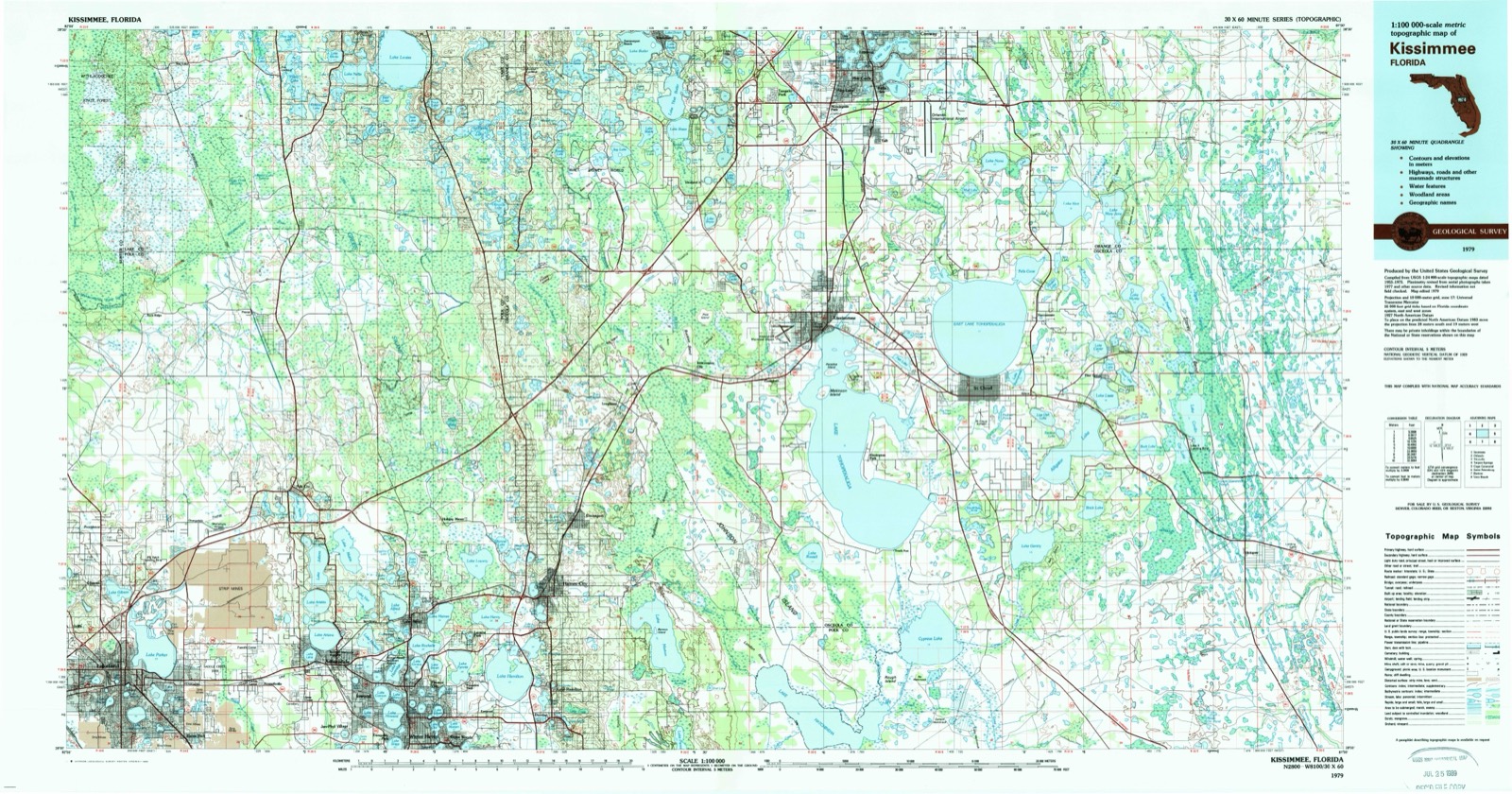
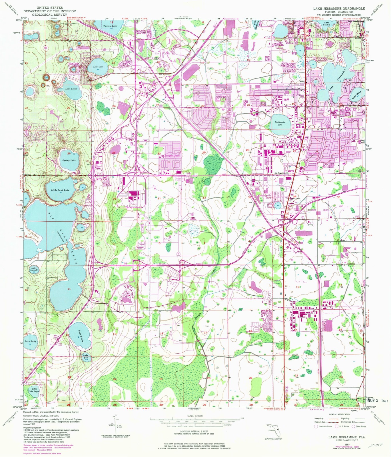
12 topographic sheets cover this place, the earliest surveyed in 1953 and the latest in 1979. It stands in the Southwest Orange census division. It lies in ZIP code area 32819. The Survey maps it on the Lake Jessamine quadrangle. 2,459 people lived here at the 2020 count. It stands 95 feet above sea level.
Then and now
1953 to 1979The same ground, surveyed 26 years apart. Drag the handle to wipe between them. Both sheets are United States Geological Survey originals; neither has been altered.
Compare 1953 against another survey:
Population over time
2 figuresTangelo Park grew from 2,231 to 2,459 between 2010 and 2020. These are the recorded population figures Wikidata holds for this place, reached through the Geographic Names Information System number this page is keyed on rather than by name, so they belong to this place and not to another of the same name. Most are census counts, but not all are: an early figure may be a founding or settlement estimate, and an estimate published within five years of a census is left out. The change column is computed, and is left blank where more than 20 years separate a figure from the one before it, because a gap that long is not a change between two counts.
| Year | People | Change |
|---|---|---|
| 2010 | 2,231 | |
| 2020 | 2,459 | +228 (+10%) |
Topographic sheets covering this place
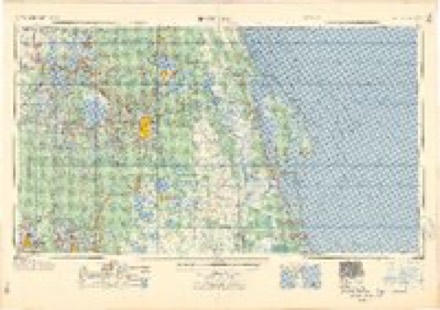
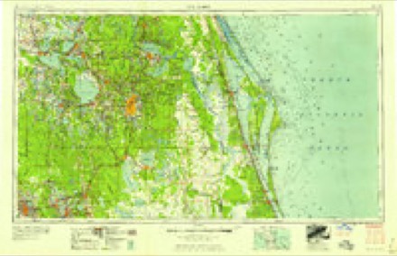
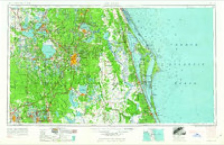
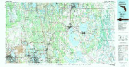
6 surveys from 12 printed sheetsMatched by testing this settlement's coordinate against the published boundary of every sheet in the United States Geological Survey's historical collection. Each opens the scanned sheet at the Survey.
- 1953 USGS Lake Jessamine quadrangle1:24000, 5 printings
- 1955 USGS Orlando quadrangle1:250000, 3 printings
- 1957 USGS Orlando quadrangle1:250000
- 1958 USGS Orlando quadrangle1:250000
- 1962 USGS Orlando quadrangle1:250000
- 1979 USGS Kissimmee quadrangle1:100000
Fires near this place
101 since 1992Regional context, not property-specific evidence. The federal wildfire occurrence database lists 101 fires within 5 miles of Tangelo Park between 1992 and 2018, burning about 8,116 acres in total. 14 started naturally. 19 were recorded as arson. Distance is straight-line from the map coordinates, so a fire counted here may appear on a neighbouring settlement's page as well.
| Reported cause | Fires |
|---|---|
| Railroad operations and maintenance | 32 |
| Arson/incendiarism | 19 |
| Missing data/not specified/undetermined | 14 |
| Natural | 14 |
| Equipment and vehicle use | 7 |
| Misuse of fire by a minor | 6 |
| Debris and open burning | 4 |
| Smoking | 2 |
| Recreation and ceremony | 2 |
| Power generation/transmission/distribution | 1 |
The most recent of them, most recent first, with the day each was reported and the service that recorded it.
| Date | Cause | Size | Reported by | Name on the report |
|---|---|---|---|---|
| 6 September 1997 | Misuse of fire by a minor | 1.0 acres | Florida Forest Service | not named |
| 3 September 1996 | Natural | 2.0 acres | Florida Forest Service | not named |
| 28 September 2000 | Railroad operations and maintenance | 1.0 acres | Florida Forest Service | not named |
| 18 September 1997 | Railroad operations and maintenance | 1.0 acres | Florida Forest Service | not named |
| 16 September 1993 | Debris and open burning | 2.0 acres | Florida Forest Service | not named |
| 1 September 2013 | Natural | 1.5 acres | Florida Forest Service | PALM PARKWAY (48) |
| 31 August 1998 | Railroad operations and maintenance | 5.0 acres | Florida Forest Service | not named |
| 29 August 2005 | Equipment and vehicle use | 3.0 acres | Florida Forest Service | not named |
Settlements close enough to share some of these fires:
Storms near this place
9 since 2012Regional context, not property-specific evidence. The National Weather Service names Tangelo Park in 9 storm reports between 2012 and 2025: 6 hail, 1 tornado, 1 flash flood, 1 funnel cloud. No death or injury is recorded in these reports. Each account below is quoted exactly as the forecast office filed it, from the NOAA Storm Events Database, and each date opens the federal record of that event.
| When | Event | Place named | Harm | What the report says |
|---|---|---|---|---|
| May 2025 | Funnel Cloud | Tangelo Park | - | Trained spotter reported a funnel cloud near Buena Ventura Lakes looking north. |
| October 2024 | Flash Flood | Tangelo Park | - | A period of very heavy rainfall in association with the core of Hurricane Milton moved across Orange County overnight Oct 9 - 10, resulting in widespread flash flooding across the county. An estimated 4 to 8 inches of rain fell across an area already saturated from 3 to 5 inches of rain earlier in the day. Orange County Emergency Management received reports of several water-related rescues and roads closed due to water of 1 to 3 feet in depth. Damage estimates for the flash flood event are unavailable; however, cost estimates for the entire flood event during Hurricane Milton are noted in the corresponding flood entry. |
| May 2020 | Hail | Tangelo Park | - | A trained spotter reported golf ball sized hail. |
| July 2017 | Tornado (EF0) | Tangelo Park | - | Air Traffic Controllers at the Orlando International Airport observed a brief tornado touchdown approximately 2 miles to their southwest. Several persons at the airport photographed the tornado. The tornado likely occurred in an undeveloped area of rural Orange County (Meadow Woods). No damage was reported. The (landspout) tornado developed as two strong sea breeze boundaries collided over the area, prior to any shower and thunderstorm development. Partly cloudy skies were occurring at the time. The photographs clearly showed a large radius of dust/dirt surrounding the vortex at the surface and the condensation funnel extending to the cloud base. |
| March 2016 | Hail | Tangelo Park | - | Storm spotters and a retired NWS employee observed penny sized hail lasting one to two minutes in the Hunters Creek area, southwest of Orlando. |
| May 2014 | Hail | Tangelo Park | - | An Orlando TV station replayed a public report of quarter sized hail falling from a severe thunderstorm in the Peppermill area of southwest Orlando. |
| July 2014 | Hail | Tangelo Park | - | Local broadcast media relayed a public report of hail up to three quarter inch in the Hunters Creek Community. |
| June 2014 | Hail | Tangelo Park | - | Hail up to the size of quarters was reported on the Florida Turnpike between State Road 528 and Osceola Parkway. |
| April 2012 | Hail | Tangelo Park | - | An amateur radio operator reported quarter sized hail near the intersection of South Orange Blossom Trail and Wetherbee Road. |
Nearest settlements
The eight closest, with where each one stands in the county. Distances are straight-line, computed from the Geographic Names Information System coordinates.
| Map | Place | Distance | Sheets |
|---|---|---|---|
| Oak Ridge | 1.5 miles | 12 | |
| Morningside Park | 2.2 miles | 12 | |
| Doctor Phillips | 2.5 miles | 12 | |
| Lake Cain Hills | 2.6 miles | 12 | |
| Williamsburg | 2.9 miles | 12 | |
| Sky Lake | 2.9 miles | 12 | |
| Bay Hill | 3.8 miles | 11 | |
| Holden Heights | 4.2 miles | 12 |
Elsewhere
Matched on this settlement's Geographic Names Information System number rather than its name, so it cannot be a different place of the same name in another state.
| Wikipedia article on Tangelo Park | An encyclopaedic summary. Its text is share-alike, so it is linked here rather than copied. |
| Wikidata item Q2570608 | The structured record the population and elevation above come from. Public domain (CC0). |
Provenance
This settlement is recorded in the Geographic Names Information System as feature 292013. The sheet list is computed by point-in-boundary test against the United States Geological Survey's historical topographic inventory. Both are works of the United States government and carry no copyright under 17 U.S.C. 105.
Wildfire. Short, Karen C. 2022. Spatial wildfire occurrence data for the United States, 1992-2020 [FPA_FOD_20221014]. 6th Edition. Fort Collins, CO: Forest Service Research Data Archive. https://doi.org/10.2737/RDS-2013-0009.6 Collected with United States Government funding and usable without additional permissions or fees.
Storms. NOAA National Centers for Environmental Information, Storm Events Database https://www.ncei.noaa.gov/stormevents/ A work of the United States government, no copyright under 17 U.S.C. 105. Narratives are quoted verbatim from the National Weather Service report and are not edited or summarised.