 Block
BlockTierra Verde, Florida
17 topographic sheets cover this place, the earliest surveyed in 1921 and the latest in 1994. It stands in the St. Petersburg census division. It lies in ZIP code area 33715. It lies near Pine Key. The Survey maps it on the Pass-a-Grille Beach quadrangle. 3,836 people lived here at the 2020 count. It stands 3 feet above sea level.
Then and now
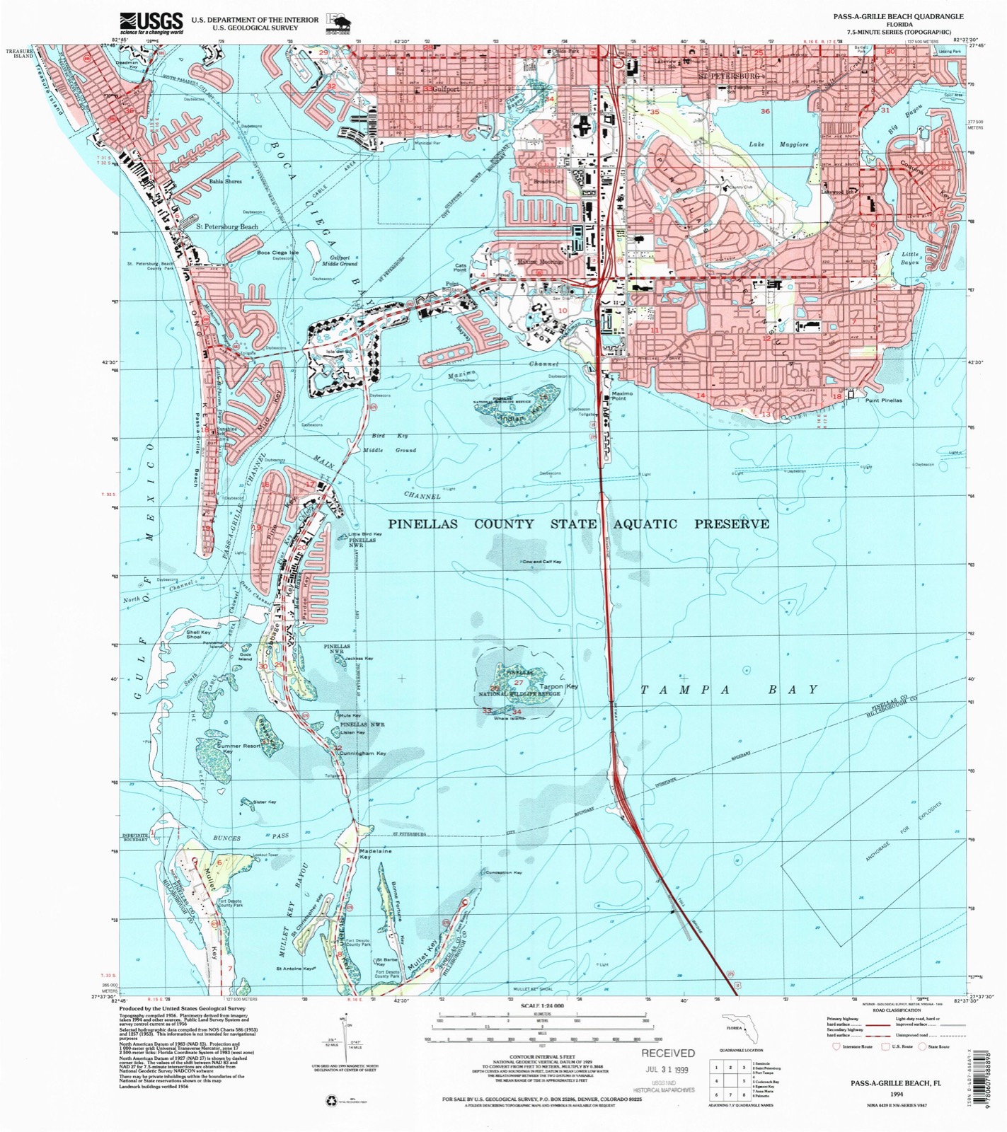
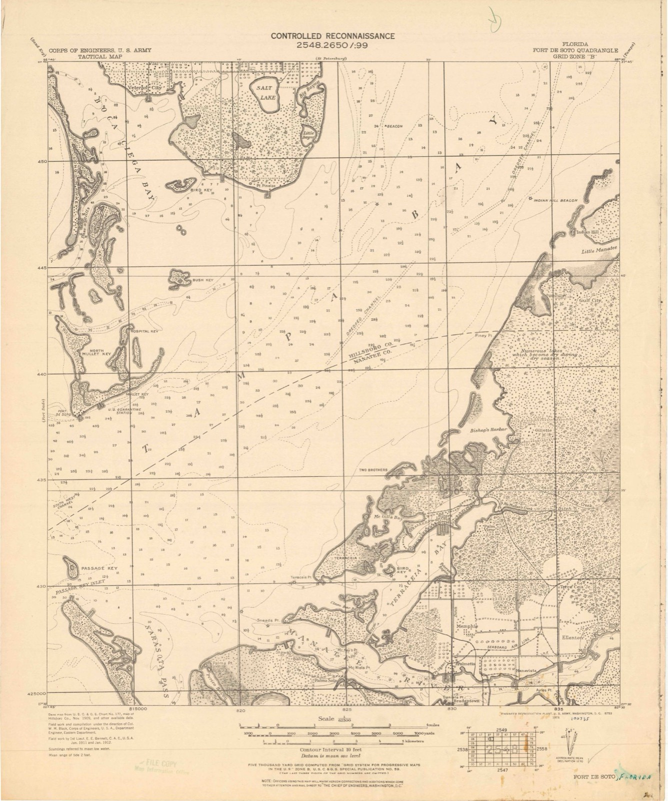
1921 to 1994The same ground, surveyed 73 years apart. Drag the handle to wipe between them. Both sheets are United States Geological Survey originals; neither has been altered.
Compare 1921 against another survey:
On record in Tierra Verde
Buildings and businesses the archive holds for this place. Each opens its own page, with the source record it came from.
On the National Register within a mile 2 records
The National Register names another town for these. They stand within one mile of this settlement's coordinate.
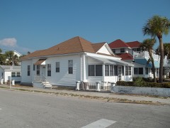 Pass-a-Grille Historic Districtlisted 1989 · 0.9 miles away
- Pass-A-Grille Historic District (Boundary Increase)listed 2003 · 0.9 miles away
Population over time
2 figuresTierra Verde grew from 3,721 to 3,836 between 2010 and 2020. These are the recorded population figures Wikidata holds for this place, reached through the Geographic Names Information System number this page is keyed on rather than by name, so they belong to this place and not to another of the same name. Most are census counts, but not all are: an early figure may be a founding or settlement estimate, and an estimate published within five years of a census is left out. The change column is computed, and is left blank where more than 20 years separate a figure from the one before it, because a gap that long is not a change between two counts.
| Year | People | Change |
|---|---|---|
| 2010 | 3,721 | |
| 2020 | 3,836 | +115 (+3%) |
Topographic sheets covering this place
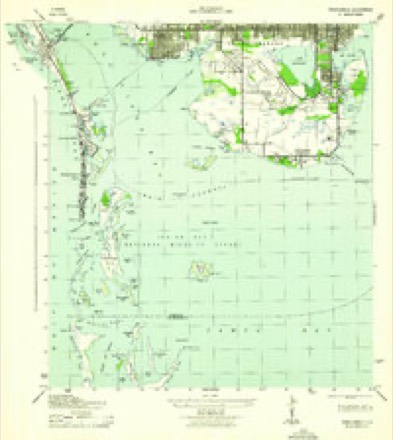
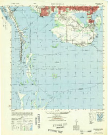
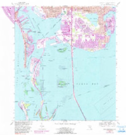
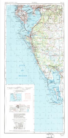
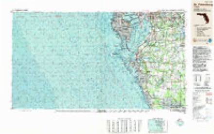
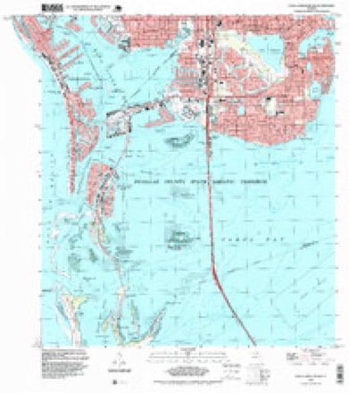
11 surveys from 17 printed sheetsMatched by testing this settlement's coordinate against the published boundary of every sheet in the United States Geological Survey's historical collection. Each opens the scanned sheet at the Survey.
- 1921 USGS Fort De Soto quadrangle1:62500, 2 printings
- 1943 USGS Pass-A-Grille quadrangle1:31680
- 1949 USGS Pass-A-Grille quadrangle1:25000
- 1956 USGS Pass-A-Grille Beach quadrangle1:24000, 4 printings
- 1956 USGS Tampa quadrangle1:250000, 2 printings
- 1959 USGS Tampa quadrangle1:250000
- 1960 USGS Tampa quadrangle1:250000, 2 printings
- 1972 USGS Tampa quadrangle1:250000
- 1981 USGS St Petersburg quadrangle1:100000
- 1988 USGS St Petersburg quadrangle1:250000
- 1994 USGS Pass-A-Grille Beach quadrangle1:24000
Fires near this place
1 since 2006Regional context, not property-specific evidence. The federal wildfire occurrence database lists 1 fire within 5 miles of Tierra Verde in 2006, burning about 3 acres in total. None started naturally. None was recorded as arson. Distance is straight-line from the map coordinates, so a fire counted here may appear on a neighbouring settlement's page as well.
| Reported cause | Fires |
|---|---|
| Missing data/not specified/undetermined | 1 |
The most recent of them, most recent first, with the day each was reported and the service that recorded it.
| Date | Cause | Size | Reported by | Name on the report |
|---|---|---|---|---|
| 28 June 2006 | Missing data/not specified/undetermined | 3.0 acres | Florida Forest Service | 52 26TH STREET |
Settlements close enough to share some of these fires:
Storms near this place
8 since 1999Regional context, not property-specific evidence. The National Weather Service names Tierra Verde in 8 storm reports between 1999 and 2025: 4 lightning, 2 hail, 1 tornado, 1 thunderstorm wind. The reports record 2 injuries. Each account below is quoted exactly as the forecast office filed it, from the NOAA Storm Events Database, and each date opens the federal record of that event.
| When | Event | Place named | Harm | What the report says |
|---|---|---|---|---|
| June 2025 | Lightning | Tierra Verde | 1 hurt | Broadcast media relayed report of a lighting strike to a beach cabana at Holmes Beach during a thunderstorm that injured one person that was under the cabana. Three other individuals that were also under the cabana declined medical treatment. |
| February 2007 | Lightning | Tierra Verde | 1 hurt | A 38-year-old male landscaper was struck by lightning while planting bushes. Lightning struck and split a nearby tree. The man was taken to a medical center and was listed in fair condition. |
| June 2007 | Lightning | Tierra Verde | $1,200,000 | Lightning ignited a multiple alarm fire at a 6,500 square foot home on the water. The $1.7 million home was a total loss even though 50 fire fighters battled the blaze. The value of the land was not included in the damage estimate. |
| May 2001 | Hail | Tierra Verde | $250,000 | Tea cup (three inch) to dime sized hail was reported by Skywarn Spotters from Tierra Verde northwest to St. Pete Beach in southern Pinellas county. The three inch hail busted windows and damaged the paint of several vehicles at the Don Cesar Hotel near the intersection of Gulf Boulevard (State Road 699) and 35th Avenue in St. Pete Beach. |
| August 2018 | Thunderstorm Wind | Tierra Verde | $20,000 | The metal roof of a bait shop on a pier at Fort DeSoto was partially peeled back by thunderstorm wind gusts. |
| June 2008 | Lightning | Tierra Verde | $5,000 | A car was struck by lightning and was on fire on the northbound side of the Sunshine Skyway Bridge. |
| July 2001 | Tornado (F0) | Tierra Verde | - | A Skywarn Spotter reported that a waterspout moved onshore as a short-lived and weak tornado without damage in Tierra Verde in extreme southern Pinellas county. |
| July 1999 | Hail | Tierra Verde | - | Dime sized hail was reported in Tierre Verde by a Skywarn Spotter. |
Nearest settlements
The eight closest, with where each one stands in the county. Distances are straight-line, computed from the Geographic Names Information System coordinates.
| Map | Place | Distance | Sheets |
|---|---|---|---|
| Don Ce-Sar Place (historical) | 1.4 miles | 17 | |
| Point Brittany | 1.9 miles | 17 | |
| Belle Vista Beach (historical) | 2.0 miles | 17 | |
| Bayway | 2.0 miles | 17 | |
| Saint Pete Beach | 2.5 miles | 17 | |
| Broadwater | 3.1 miles | 17 | |
| Bahia Shores | 3.1 miles | 17 | |
| Lakewood Estates | 3.9 miles | 17 |
Elsewhere
Matched on this settlement's Geographic Names Information System number rather than its name, so it cannot be a different place of the same name in another state.
| Wikipedia article on Tierra Verde | An encyclopaedic summary. Its text is share-alike, so it is linked here rather than copied. |
| Wikidata item Q2752400 | The structured record the population and elevation above come from. Public domain (CC0). |
Provenance
This settlement is recorded in the Geographic Names Information System as feature 304732. The sheet list is computed by point-in-boundary test against the United States Geological Survey's historical topographic inventory. Both are works of the United States government and carry no copyright under 17 U.S.C. 105.
Wildfire. Short, Karen C. 2022. Spatial wildfire occurrence data for the United States, 1992-2020 [FPA_FOD_20221014]. 6th Edition. Fort Collins, CO: Forest Service Research Data Archive. https://doi.org/10.2737/RDS-2013-0009.6 Collected with United States Government funding and usable without additional permissions or fees.
Storms. NOAA National Centers for Environmental Information, Storm Events Database https://www.ncei.noaa.gov/stormevents/ A work of the United States government, no copyright under 17 U.S.C. 105. Narratives are quoted verbatim from the National Weather Service report and are not edited or summarised.