 Block
BlockUlmerton, Florida
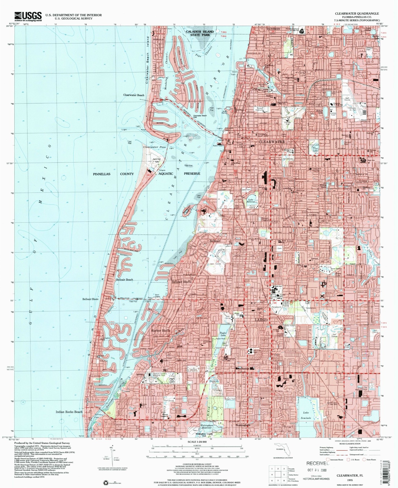
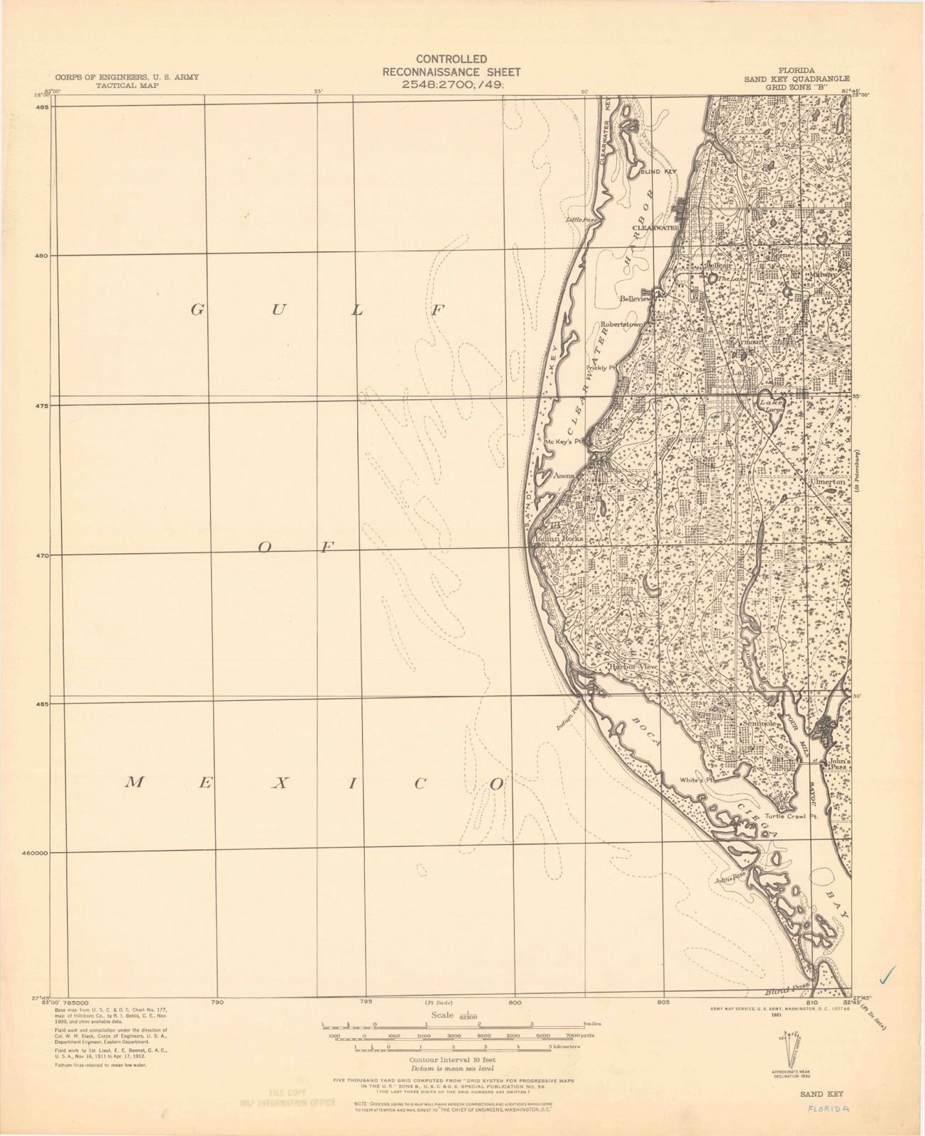
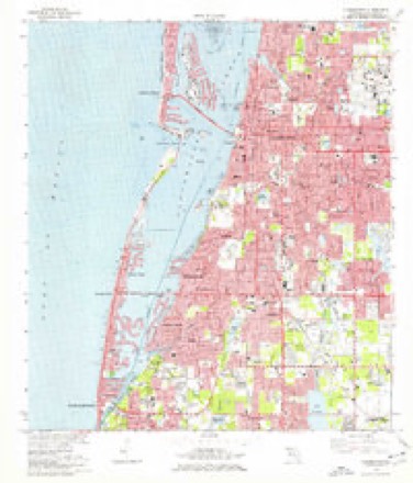
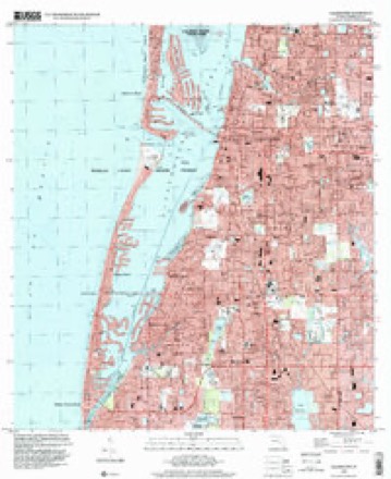
15 topographic sheets cover this place, the earliest surveyed in 1921 and the latest in 1995. It stands in the Clearwater census division. It lies in ZIP code area 33771. It stands on Long Bayou. The Survey maps it on the Clearwater quadrangle.
Then and now
1921 to 1995The same ground, surveyed 74 years apart. Drag the handle to wipe between them. Both sheets are United States Geological Survey originals; neither has been altered.
Compare 1921 against another survey:
Topographic sheets covering this place
10 surveys from 15 printed sheetsMatched by testing this settlement's coordinate against the published boundary of every sheet in the United States Geological Survey's historical collection. Each opens the scanned sheet at the Survey.
- 1921 USGS Sand Key quadrangle1:62500
- 1943 USGS Clearwater quadrangle1:24000, 3 printings
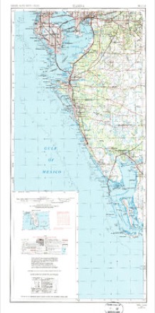
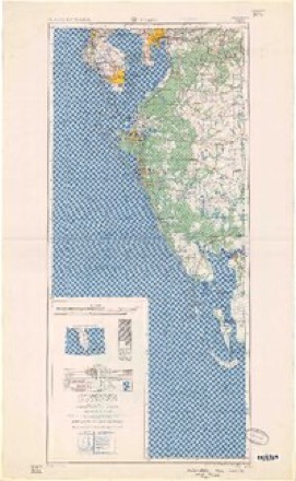
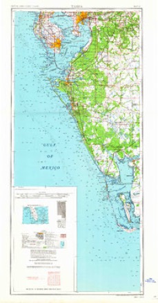
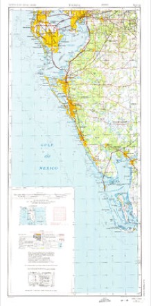
- 1956 USGS Tampa quadrangle1:250000, 2 printings
- 1959 USGS Tampa quadrangle1:250000
- 1960 USGS Tampa quadrangle1:250000, 2 printings
- 1972 USGS Tampa quadrangle1:250000
- 1974 USGS Clearwater quadrangle1:24000, 2 printings
- 1981 USGS St Petersburg quadrangle1:100000
- 1988 USGS St Petersburg quadrangle1:250000
- 1995 USGS Clearwater quadrangle1:24000
Fires near this place
18 since 1992Regional context, not property-specific evidence. The federal wildfire occurrence database lists 18 fires within 5 miles of Ulmerton between 1992 and 2016, burning about 100 acres in total. 4 started naturally. 4 were recorded as arson. Distance is straight-line from the map coordinates, so a fire counted here may appear on a neighbouring settlement's page as well.
| Reported cause | Fires |
|---|---|
| Natural | 4 |
| Arson/incendiarism | 4 |
| Railroad operations and maintenance | 3 |
| Missing data/not specified/undetermined | 3 |
| Misuse of fire by a minor | 2 |
| Recreation and ceremony | 1 |
| Power generation/transmission/distribution | 1 |
The most recent of them, most recent first, with the day each was reported and the service that recorded it.
| Date | Cause | Size | Reported by | Name on the report |
|---|---|---|---|---|
| 7 July 2001 | Railroad operations and maintenance | 3.0 acres | Florida Forest Service | not named |
| 4 July 2015 | Natural | 7.0 acres | Florida Forest Service | SEMINOLE (52) |
| 29 July 1993 | Natural | 20 acres | Florida Forest Service | not named |
| 13 July 1993 | Natural | 20 acres | Florida Forest Service | not named |
| 14 June 1993 | Natural | 1.0 acres | Florida Forest Service | not named |
| 29 May 1992 | Railroad operations and maintenance | 1.0 acres | Florida Forest Service | not named |
| 19 May 2005 | Missing data/not specified/undetermined | 3.0 acres | Florida Forest Service | TECH DATA |
| 3 April 2006 | Missing data/not specified/undetermined | 10 acres | Florida Forest Service | 52 SEMINOLE PARK |
Settlements close enough to share some of these fires:
Mines and quarries near this place
1 within 5 milesRegional context, not property-specific evidence. The federal mineral resources record lists 1 working within 5 miles of Ulmerton: 1 past producer. None of them still produces. What was taken out: Sand and Gravel, Construction. Distance is straight-line from the map coordinates, so a quarry counted here may appear on a neighbouring settlement's page as well.
| Where | Site | Commodity | Status | Recorded |
|---|---|---|---|---|
| Largo Sand and Gravel Pit | Sand and Gravel, Construction | Past Producer |
Storms near this place
9 since 2011Regional context, not property-specific evidence. The National Weather Service names Ulmerton in 9 storm reports between 2011 and 2025: 3 lightning, 3 tornado, 2 thunderstorm wind, 1 heavy rain. The reports record 2 injuries. Each account below is quoted exactly as the forecast office filed it, from the NOAA Storm Events Database, and each date opens the federal record of that event.
| When | Event | Place named | Harm | What the report says |
|---|---|---|---|---|
| February 2020 | Tornado (EF0) | Ulmerton | 1 hurt, $200,000 | Multiple units damaged at mobile home park in Pinellas Park. Tree fell onto a home in Seminole, trapping seven people and injuring one of them. Crane blown over onto roadway on I-275 at exit 29 in St. Petersburg. Numerous downed power lines. |
| August 2025 | Lightning | Ulmerton | 1 hurt | FDEM relayed report from Pinellas County 911 dispatch of an individual injured by a lightning strike near Seminole, requiring transport for treatment following initial on-scene attention from local fire department personnel. |
| December 2020 | Tornado (EF2) | Ulmerton | $16,000,000 | Tornado formed near Bayou Club near Pinellas Park, then crossed Belcher Road and hit an industrial park where the greatest damage was observed. Buildings had uplift and removal of roof decking, outer walls collapsed. Two buildings were destroyed and five had major|damage. Several buildings in a boat storage facility had major damage and large 2-ton boats where thrown about. The damage became more spotty as it approached U.S. Highway 19. Insulation debris collected on a fence near the Saint Pete/Clearwater International Airport. Video on social media showed the tornado crossing the Howard Franklin Bridge (Interstate 275) with debris and a light pole dropping in front of the observer. The tornado then weakened and lifted as it reached the eastern edge of the Howard Franklin Bridge with no further damage observed. In total, 4 warehouses were destroyed with 9 receiving major damage and 6 others receiving minor damage. 1 home received major damage and 17 others received minor damage. |
| June 2025 | Tornado (EF1) | Ulmerton | $250,000 | Strong thunderstorms developed over Pinellas County as the east and west coast sea breeze boundaries collided. A landspout tornado developed in Largo, FL, along colliding sea breeze and outflow boundaries.||The setup leading to the landspout's development was complex. Two boundaries collided over Largo - one from a strong cell to the southwest and one from another strong cell to the east. As these boundaries collided, a new updraft began to develop where the collision took place. Strong downdrafts from both cells essentially sandwiched the boundary and the developing updraft between the more mature cells - forcing the developing cell to take a deviant track to the north, right along the boundary collision. This caused the cell to begin rotating.||At approximately 5:57 PM EST, the TTPA terminal doppler radar observed rotation just south of Belcher Rd near the intersection with Bryan Dairy Rd. Reflectivity data at the same time showed almost no precipitation on the 0.3 degree slice, but a still-suspended and developing core aloft at higher tilts. The rotation was only very vaguely distinguishable on the KTBW radar, given the developing cell's motion with respect to the beam angle. Ultimately, the angle masked the actual storm-relative velocity. Over the next couple minutes, the rotation intensified and at 6:02 PM EST, the first damage occurred at a shopping center near the aforementioned intersection. Over the next eight minutes, additional damage reports were received along a track oriented generally south to north. The most significant damage was noted in the Ranchero Village community, where several mobile/manufactured structures were badly damaged, indicating a peak intensity of around 90 mph.||At 6:10 PM EST, the landspout dissipated as the TTPA terminal doppler radar data showed the circulation weakening. This took place as a gust front from another mature cell to the east arrived, altering the ability for the developing cell to remain on the boundary that was allowing it to spin. In total, the feature was tracked for just over 2 miles and had a maximum width of 100 yards. |
| July 2016 | Lightning | Ulmerton | $50,000 | Pinellas County Fire Rescue reported a fire to a house in Seminole that was caused by a lightning strike. The homeowners were evacuated and no injuries were reported. |
| July 2015 | Lightning | Ulmerton | $25,000 | Florida Department of Emergency Management relayed reports of 3 separate residential structures that sustained lightning strikes. In each case, the fire department was called out to put out small fires. One unit of Lake Seminole Townhomes sustained major damages. In the other two cases, damages were minor. |
| April 2019 | Thunderstorm Wind | Ulmerton | $15,000 | A mobile home in Seminole sustained roof damage. Time estimated by radar. |
| September 2013 | Thunderstorm Wind | Ulmerton | $2,000 | Overhead traffic signals were blown down by thunderstorm wind gusts at Bryan Dairy Road and Starkey Road in Largo. |
| September 2011 | Heavy Rain | Ulmerton | - | A trained spotter reported minor street flooding southwest of Largo due to heavy rains. |
Nearest settlements
The eight closest, with where each one stands in the county. Distances are straight-line, computed from the Geographic Names Information System coordinates.
| Map | Place | Distance | Sheets |
|---|---|---|---|
| Baskin | 1.3 miles | 15 | |
| Largo | 1.4 miles | 15 | |
| Ridgecrest | 1.8 miles | 15 | |
| Walsingham | 1.9 miles | 15 | |
| Four Corners | 2.6 miles | 20 | |
| Habor Bluffs | 3.0 miles | 15 | |
| Belleair Bluffs | 3.1 miles | 15 | |
| Anona | 3.2 miles | 15 |
Elsewhere
Matched on this settlement's Geographic Names Information System number rather than its name, so it cannot be a different place of the same name in another state.
| Wikidata item Q122563647 | The structured record the population and elevation above come from. Public domain (CC0). |
Provenance
This settlement is recorded in the Geographic Names Information System as feature 301465. The sheet list is computed by point-in-boundary test against the United States Geological Survey's historical topographic inventory. Both are works of the United States government and carry no copyright under 17 U.S.C. 105.
Wildfire. Short, Karen C. 2022. Spatial wildfire occurrence data for the United States, 1992-2020 [FPA_FOD_20221014]. 6th Edition. Fort Collins, CO: Forest Service Research Data Archive. https://doi.org/10.2737/RDS-2013-0009.6 Collected with United States Government funding and usable without additional permissions or fees.
Mines and quarries. USGS Mineral Resources Data System (MRDS) https://mrdata.usgs.gov/mrds/ A work of the United States government, no copyright under 17 U.S.C. 105.
Storms. NOAA National Centers for Environmental Information, Storm Events Database https://www.ncei.noaa.gov/stormevents/ A work of the United States government, no copyright under 17 U.S.C. 105. Narratives are quoted verbatim from the National Weather Service report and are not edited or summarised.