BlockBefore
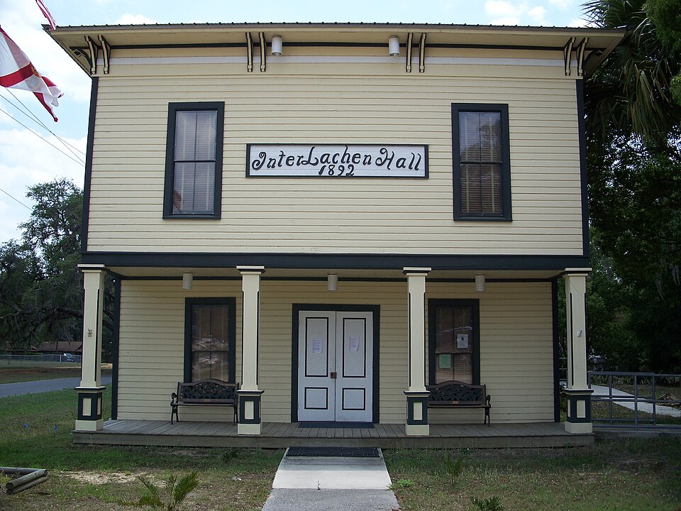
Photograph of Interlachen Hall
Photograph by Ebyabe, CC BY 2.5. Via Wikimedia Commons.

Interlachen Hall

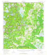
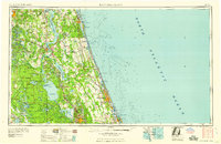
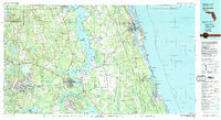
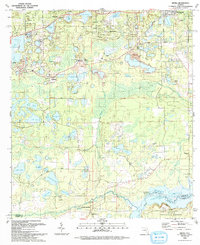
Built in 1892 (vernacular architecture). Listed on the National Register of Historic Places in 2000. 10 historic topographic surveys show this location, the earliest from 1915.

From the record

“The Interlachen Hall is a historic site in Interlachen, Florida, located at 215 Atlantic Avenue, on the southwest corner of Commonwealth Avenue. It has functioned as a meeting center for the town since its completion in 1892.”

Wikipedia article Interlachen Hall, CC BY-SA 4.0.

One of 20 National Register listings published here for Putnam County · listed in 2000 · category: Building · built in 1892, vernacular architecture.

Sources: the Wikipedia article · the case file at the National Archives · the National Register database, National Park Service

The listing

  • What is counted as historic. The nomination lists 1 building as contributing to the listing.
  • Address. 215 Atlantic Ave., Interlachen, 32148
  • When was it listed? June 2000
  • Category. building
  • Census division. Interlachen-Florahome
  • When was it built? 1892
  • Architectural style. vernacular architecture
  • National Register reference number. 00000561 - the number the National Park Service assigned this property when it was listed, and the key its nomination file is catalogued under at the National Archives.

Then and now

1915 to 1993

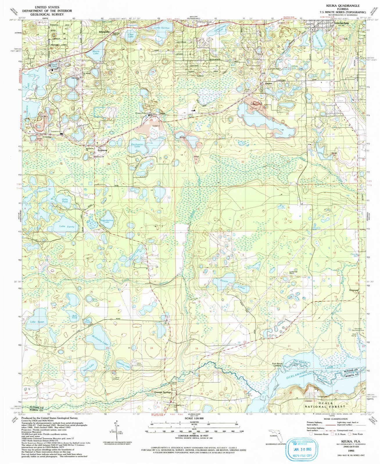
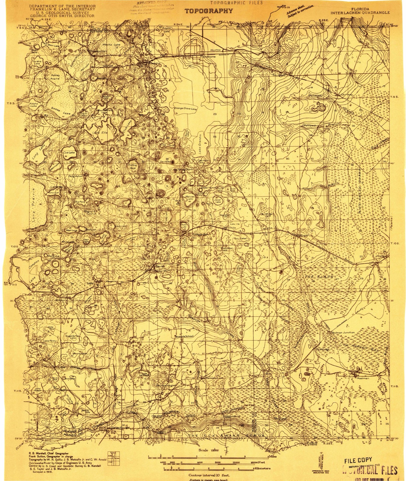
The ground this property stands on, surveyed 78 years apart. Drag the handle to wipe between them. Both sheets are United States Geological Survey originals; neither has been altered.

Topographic sheet covering Interlachen Hall, surveyed 1993
Topographic sheet covering Interlachen Hall, surveyed 1915

Fires near this property

551 since 1992

Regional context, not property-specific evidence. The federal wildfire occurrence database lists 551 fires within 5 miles of Interlachen Hall between 1992 and 2020, burning about 1,882 acres in total. 82 started naturally. 82 were recorded as arson. Distance is straight-line from the map coordinates, so a fire counted here may appear on a neighbouring settlement's page as well.

Reported cause Fires
Missing data/not specified/undetermined90
Debris and open burning87
Natural82
Arson/incendiarism82
Equipment and vehicle use73
Railroad operations and maintenance57
Misuse of fire by a minor49
Power generation/transmission/distribution11
Recreation and ceremony8
Other causes7
Fireworks3
Smoking2

The most recent of them, most recent first, with the day each was reported and the service that recorded it.

DateCause SizeReported by Name on the report
9 September 1997Equipment and vehicle use2.0 acresFlorida Forest Servicenot named
6 September 1992Misuse of fire by a minorunder an acreFlorida Forest Servicenot named
30 September 2019Debris and open burningunder an acreFlorida Forest ServiceELLEN DR (54)
29 September 2006Missing data/not specified/undetermined1.0 acresFlorida Forest ServicePUTNAM/CVS FIRE
26 September 2008Missing data/not specified/undetermined1.5 acresFlorida Forest ServicePUTNAM/FILMORE FIRE
25 September 2010Arson/incendiarism2.0 acresFlorida Forest ServicePUTNAM/64TH STREET
25 September 1993Railroad operations and maintenance1.0 acresFlorida Forest Servicenot named
23 September 1992Equipment and vehicle use15 acresFlorida Forest Servicenot named

Every fire recorded in Putnam County

Mines and quarries near this property

10 of 14 shown

Regional context, not property-specific evidence. The federal mineral resources record lists 14 workings within 5 miles of Interlachen Hall: 6 past producers, 5 producers, 2 prospects, 1 unknown. 5 still produce. What was taken out: Clay, Sand and Gravel, Construction, Sand, Titanium. Distance is straight-line from the map coordinates, so a quarry counted here may appear on a neighbouring settlement's page as well.

Where SiteCommodity StatusRecorded
Edgar Kaolin MineKaolinPast Producer
Jones H J Titanium DepositTitaniumProspect
Jones H J Titanium Deposit 2TitaniumProspect
Floirda Rock Industries - Keuka MineSandProducer
Florida Rock Industries, Inc. - KeukaSandProducer
The Feldspar Corporation - Edger MineSandUnknown
Edgar KaolinClayProducerKaolin
Epk DivisionClayPast Producer
Interlachen Clay MineClayPast Producer
Interlachen Sand and Gravel PitSand and Gravel, ConstructionPast Producer

Every working recorded in Putnam County

Storms near this property

60 of 62 shown

Regional context, not property-specific evidence. The National Weather Service names Interlachen, the town this property stands in, in 62 storm reports between 1993 and 2026: 38 thunderstorm wind, 15 hail, 3 heavy rain, 2 funnel cloud. The reports record 1 injury. Each account below is quoted exactly as the forecast office filed it, from the NOAA Storm Events Database, and each date opens the federal record of that event.

WhenEvent Place namedHarm What the report says
February 2008Thunderstorm WindInterlachen1 hurtA tree landed on the bedroom portion of a mobile home. A resident sustained unknown injuries and was transported to hospital.
July 2003LightningInterlachen$225,000Home totally involved when fire fighters arrived on scene. House on Baden Powell Rd, West Putnam. 28 year old two story home valued at $150K, with $75K for contents. Two family pets (cats) killed in fire.
January 1995Thunderstorm WindInterlachen$15,000Sheriff's Office reported three storage houses damaged.
July 2002Thunderstorm WindInterlachen$10,000Large trees down on house.
July 2023Thunderstorm WindInterlachen$5,000An oak tree was blown down onto a home. The cost of damage was unknown, but it was estimated for inclusion in Storm Data.
January 1999Thunderstorm WindInterlachen$5,000Large trees were blown down.
March 2000Thunderstorm WindInterlachen$4,000Large trees and power lines were blown down. Roof damage to mobile home.
February 1997Thunderstorm WindInterlachen$4,000no account filed
March 1998Thunderstorm WindInterlachen$3,000Large trees were blown down.
March 2001Thunderstorm WindInterlachen$2,500Large trees and power lines were blown down.
August 1999Thunderstorm WindInterlachen$2,500Large trees and power lines were blown down.
February 1996Thunderstorm WindInterlachen$2,500no account filed
March 2026Thunderstorm WindInterlachen$2,000Trees and powerlines were reported down across Interlachen along north County Rd 315, Cousintown Rd, Old Gainesville Hwy and Old Woods Rd. Time was estimated by radar.
October 1996Thunderstorm WindInterlachen$1,200no account filed
May 2023Thunderstorm WindInterlachen$1,000A deck was damaged by thunderstorm winds in Interlachen. The time of damage was based on radar data. The cost of damage was unknown, but it was estimated for inclusion of the event in Storm Data.
January 2019Thunderstorm WindInterlachen$1,000A tree was blown down and blocked both lanes of traffic at Bishop St and Martindale Avenue near Interlachen. The time of damage was based on radar. The cost of damage was unknown but estimated for the inclusion of the event in Storm Data.
January 2019Thunderstorm WindInterlachen$1,000A tree was blown down and blocked both lanes of traffic at Bishop St and Martindale Avenue in Interlachen. The time was estimated based on radar. The cost of damage was estimated for inclusion of the event in Storm Data.
March 2011Thunderstorm WindInterlachen$1,000Multiple trees were blown down. One tree fell across a fence on Lewis Pond Road. A wind gust of 47 mph was measured. The cost of damage was estimated.
April 2010Thunderstorm WindInterlachen$1,000A tree limb was blown down an damaged a car port. The cost of damage was estimated.
August 1998Thunderstorm WindInterlachen$1,000Large trees and power lines were blown down.
January 1993Thunderstorm WindInterlachen$500Strong thunderstorm winds downed trees and power lines.
December 1996Thunderstorm WindInterlachen$200no account filed
June 2025Thunderstorm WindInterlachen-County EM reported a pump | house roof was blown off with some debris | blown across a property along North County | Road 315 in Interlachen. The time of damage | was based on radar.
June 2025Thunderstorm WindInterlachen-Emergency management reported power lines were blown down near Silver Lake Drive and Carnation Street.
August 2025Heavy RainInterlachen-A private Weather Station Faye Lake Weather - KFLINTER11 reported 2.13 inches of rain during the past hour.
July 2025Heavy RainInterlachen-A personal Weather Station Trout Puddle KFLINTER2 reported 2.15 inches within the past hour.
August 2022Thunderstorm WindInterlachen-Trees were blown down in Interlachen from thunderstorm winds.
July 2021FloodInterlachen-Duncan Avenue was flooded over with water.
June 2019Heavy RainInterlachen-An observer measured 1.67 inches of rainfall n 90 minutes.
December 2019Thunderstorm WindInterlachen-Widespread wind damage occurred NNE of Interlachen along Maltas Avenue in the Interlachen Lakes Estates area. Structural damage and widespread tree damage occurred. Witnesses reported a loud roaring noise. Note that this storm did produced a tornado touchdown just west of the this location near Lake Waubug and another tornado touchdown east of this location near Elkton Florida.
December 2019Thunderstorm WindInterlachen-Widespread reports of tree damage, power lines down and exterior building structure damage occurred in West Interlachen. The time of damage was based on radar imagery. This same storm produced a tornado touchdown just west near Lake Waubug. Another tornado touchdown occurred from this same storm east near Elkton.
April 2013Thunderstorm WindInterlachen-Trees and power lines were blown down at Birch Street and Lakeview Trail.
August 2012Thunderstorm WindInterlachen-Trees were reported down on County Road 315 near Interlachen.
August 2012Thunderstorm WindInterlachen-Trees were blown down and blocking the road on Lake Susan Road near Star Lake Road.
May 2012Thunderstorm WindInterlachen-Wind gusts were estimated between 50 and 60 mph. The time of the report was based on radar imagery.
April 2011Thunderstorm WindInterlachen-Wind damage was reported at 309 Anthony Ave in Interlachen. The time of the event was based on radar.
April 2009HailInterlachen-Penny and dime size hail was falling in town of Interlachen at 4:52 p.m. EST. At 4:55 p.m. EST the Putnam County Sherrifs Office reports quarter size hail in Interlachen.
June 2008HailInterlachen-Penny size hail was reported at the Race Track Gas Station just south of Lake Grandin.
March 2008Thunderstorm WindInterlachen-Scattered trees down and isolated power outages reported across the western portion of the county by Putnam County Emergency Management. Time is based on radar imagery and Emergency Management timing of event.
June 2007HailInterlachen-The public reported quarter size hail near Interlachen.
February 2003Thunderstorm WindInterlachen-2 to 4 inch tree limbs down.
June 2003Thunderstorm WindInterlachen-Large trees and road signs down.
July 2003Thunderstorm WindInterlachen-Large trees down across northern portions of county.
May 1999WildfireInterlachen-Reports that a 20 acre brush fire occurred near Interlachen.
May 2012HailInterlachen-no account filed
April 2005HailInterlachen-no account filed
June 2004Thunderstorm WindInterlachen-no account filed
September 2004Tornado (F0)Interlachen-no account filed
June 2003Funnel CloudInterlachen-no account filed
April 2002HailInterlachen-no account filed
June 2001HailInterlachen-no account filed
August 1999Funnel CloudInterlachen-no account filed
June 1999HailInterlachen-no account filed
August 1999HailInterlachen-no account filed
June 1999HailInterlachen-no account filed
February 1998HailInterlachen-no account filed
June 1998HailInterlachen-no account filed

Every storm recorded in Putnam County

Maps showing this location

10 surveys

United States Geological Survey topographic sheets whose coverage includes this point. Matched by taking the coordinate the National Park Service records for this property, then testing that coordinate against the published boundary of every sheet.

Listed places nearby

3 within 8 miles

Other National Register properties close enough to walk or drive between, ordered by distance from this one. Both positions come from the same geocoding pass that matched these properties to their map sheets.

Photograph PropertyDistance Listed
First Congregational Church of Interlachen0.2 miles2024
Interlachen Academy0.5 miles2024
Lincoln Lane School0.7 miles2023

Sources for this property

National Archives recordThe nomination case file for reference 00000561 in Record Group 79.
Wikipedia articleCommunity-written account of this property, licensed CC BY-SA.
Putnam CountyAll 20 listed properties in this county.

Provenance

  • Listing record. National Park Service National Register of Historic Places, listed-properties dataset, current to 2026-05-22.
  • Map join. Address geocoded through the United States Census geocoder, then tested against the published boundary of every sheet in the USGS Historical Topographic Map Collection.
  • How this page is made. Listing fields come from federal records; map-sheet coverage is a labelled coordinate-to-boundary calculation, not a source-field claim.
  • Wildfire. Short, Karen C. 2022. Spatial wildfire occurrence data for the United States, 1992-2020 [FPA_FOD_20221014]. 6th Edition. Fort Collins, CO: Forest Service Research Data Archive. https://doi.org/10.2737/RDS-2013-0009.6 Collected with United States Government funding and usable without additional permissions or fees.
  • Mines and quarries. USGS Mineral Resources Data System (MRDS) https://mrdata.usgs.gov/mrds/ A work of the United States government, no copyright under 17 U.S.C. 105.
  • Storms. NOAA National Centers for Environmental Information, Storm Events Database https://www.ncei.noaa.gov/stormevents/ A work of the United States government, no copyright under 17 U.S.C. 105. Narratives are quoted verbatim from the National Weather Service report and are not edited or summarised.