Block
BlockFrom the record
One of 2 National Register listings published here for Hardee County · listed in 2018 · category: District.
Sources: the National Register database, National Park Service
Listed on the National Register of Historic Places in 2018. 6 historic topographic surveys show this location, the earliest from 1955.
One of 2 National Register listings published here for Hardee County · listed in 2018 · category: District.
Sources: the National Register database, National Park Service
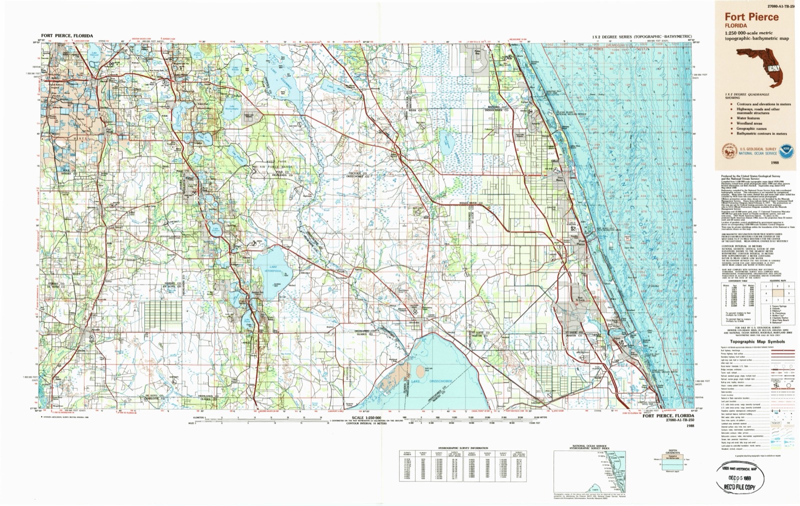
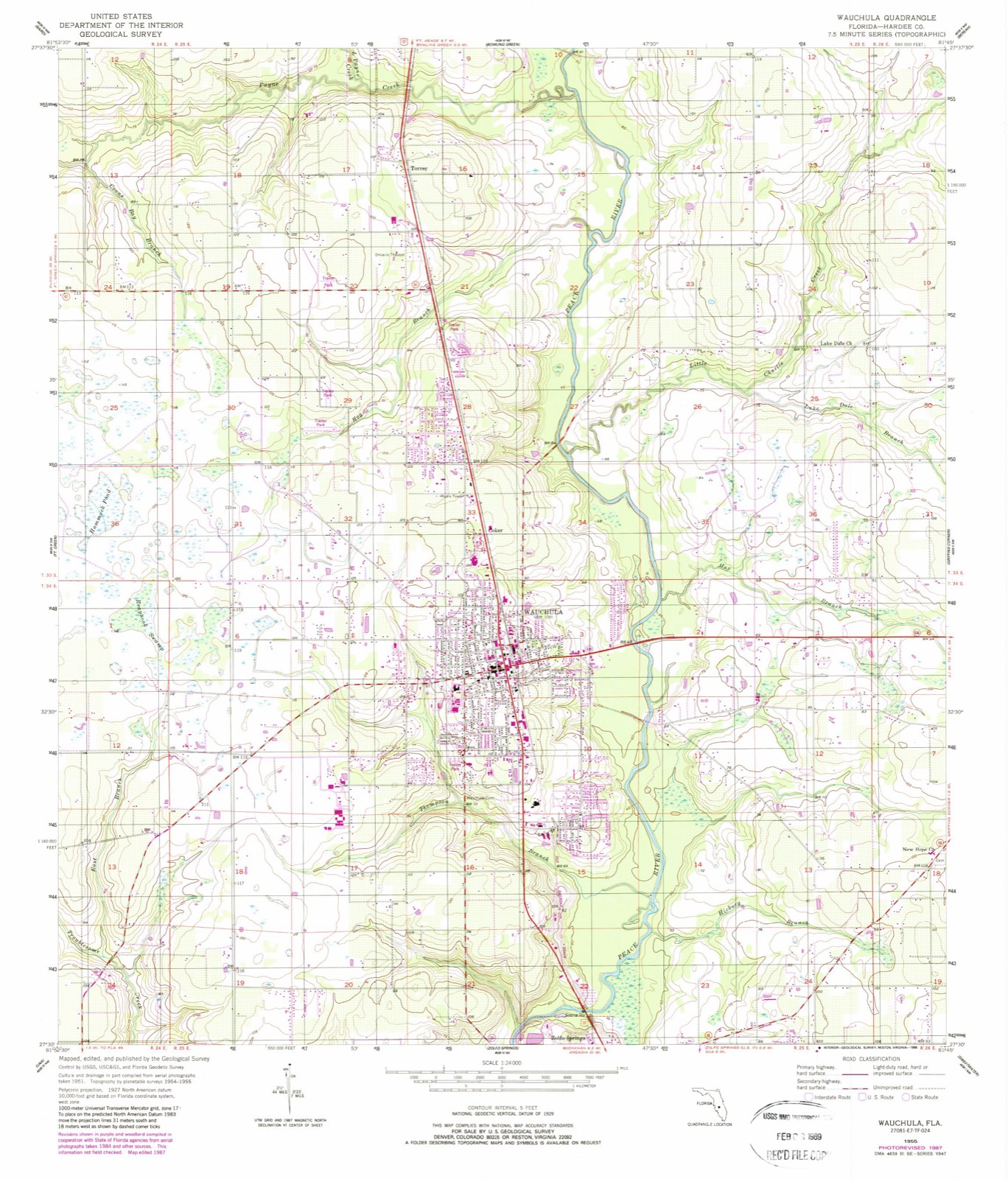
The ground this property stands on, surveyed 33 years apart. Drag the handle to wipe between them. Both sheets are United States Geological Survey originals; neither has been altered.
Regional context, not property-specific evidence. The federal wildfire occurrence database lists 214 fires within 5 miles of Downtown Wauchula Historic District between 1992 and 2020, burning about 1,877 acres in total. 6 started naturally. 5 were recorded as arson. Distance is straight-line from the map coordinates, so a fire counted here may appear on a neighbouring settlement's page as well.
| Reported cause | Fires |
|---|---|
| Railroad operations and maintenance | 78 |
| Debris and open burning | 57 |
| Missing data/not specified/undetermined | 30 |
| Equipment and vehicle use | 21 |
| Recreation and ceremony | 6 |
| Natural | 6 |
| Misuse of fire by a minor | 6 |
| Arson/incendiarism | 5 |
| Smoking | 4 |
| Other causes | 1 |
The most recent of them, most recent first, with the day each was reported and the service that recorded it.
| Date | Cause | Size | Reported by | Name on the report |
|---|---|---|---|---|
| 5 September 2005 | Debris and open burning | under an acre | Florida Forest Service | 25-MANLEY RD FIRE-0426 |
| 26 September 1997 | Railroad operations and maintenance | under an acre | Florida Forest Service | not named |
| 2 September 2005 | Debris and open burning | under an acre | Florida Forest Service | 25-TRASH PILE-0420 |
| 17 September 2017 | Recreation and ceremony | 4.0 acres | Florida Forest Service | STENSTROM (25) |
| 21 August 2000 | Railroad operations and maintenance | under an acre | Florida Forest Service | not named |
| 2 August 2014 | Debris and open burning | 3.0 acres | Florida Forest Service | MCDONALD RD (25) |
| 5 July 2004 | Natural | 50 acres | Florida Forest Service | C.F. IND. FIRE |
| 2 July 1996 | Railroad operations and maintenance | 2.0 acres | Florida Forest Service | not named |
Regional context, not property-specific evidence. The federal mineral resources record lists 3 workings within 5 miles of Downtown Wauchula Historic District: 1 prospect, 1 occurrence, 1 unknown. None of them still produces. What was taken out: Phosphorus-Phosphates, Magnesite, Aluminum, Fluorine-Fluorite, Iron, Uranium, Water, Free, Sand. Distance is straight-line from the map coordinates, so a quarry counted here may appear on a neighbouring settlement's page as well.
| Where | Site | Commodity | Status | Recorded |
|---|---|---|---|---|
| D. E. Carlton | Phosphorus-Phosphates, Magnesite, Aluminum, Fluorine-Fluorite, Iron, Uranium | Prospect | Surface | |
| Dot Arcadia - Sr 62 Mine | Sand | Unknown | Sand | |
| Hardee County Unknown Ownerships | Phosphorus-Phosphates, Water, Free | Occurrence |
Regional context, not property-specific evidence. The National Weather Service names Wauchula, the town this property stands in, in 42 storm reports between 1993 and 2022: 18 thunderstorm wind, 9 hail, 7 tornado, 3 flood. No death or injury is recorded in these reports. Each account below is quoted exactly as the forecast office filed it, from the NOAA Storm Events Database, and each date opens the federal record of that event.
| When | Event | Place named | Harm | What the report says |
|---|---|---|---|---|
| December 1997 | Flash Flood | Wauchula | $250,000 | no account filed |
| August 2017 | Thunderstorm Wind | Wauchula | $100,000 | Hardee County Emergency Management relayed numerous reports of trees and power lines knocked down across Wauchula and Bowling Green from wind damage. The 911 call center received a total of 163 calls within a 3 hour window as a result of the storm. |
| June 2004 | Thunderstorm Wind | Wauchula | $85,000 | Thunderstorm wind gusts downed numerous trees on the south side of Wauchula. One home and one vehicle on the 500 block of South Road were damaged by falling trees. A new pharmacy under construction lost its roof. Debris was scattered in the Knollwood Circle area. |
| March 1998 | Tornado (F0) | Wauchula | $75,000 | no account filed |
| July 2005 | Tornado (F0) | Wauchula | $50,000 | A tornado in a rain band of Hurricane Dennis destroyed a vacant wood frame home. |
| June 1994 | Thunderstorm Wind | Wauchula | $50,000 | A roof was torn off an appliance store and numerous trees, power lines and tree limbs were blown down throughout the Wauchula area. |
| January 1993 | Thunderstorm Wind | Wauchula | $50,000 | Strong thunderstorm winds downed numerous trees, did minor damage to parked aircraft at local airports, and blew a car off the road. |
| July 2000 | Flash Flood | Wauchula | $50,000 | no account filed |
| September 2017 | Tornado (EF1) | Wauchula | $40,000 | Roof damage and downed power poles were found in Wauchula along US Highway 17. An NWS storm survey crew had difficulty differentiating tornado damage from the surrounding hurricane damage, but given that the initial damage report was received well before the tropical storm and hurricane force winds arrived, it was determined that a brief tornado more than likely touched down. Time was estimated from radar. |
| November 1997 | Flood | Wauchula | $30,000 | no account filed |
| September 2000 | Flash Flood | Wauchula | $25,000 | no account filed |
| April 2022 | Tornado (EF0) | Wauchula | $20,000 | Law enforcement relayed web cam capture of small, short-lived rope tornado. Power lines reported down in the area. |
| May 2019 | Lightning | Wauchula | $20,000 | Lightning struck a tower at a Hardee County facilities complex. The strike caused damage to equipment within the facility. |
| July 1999 | Thunderstorm Wind | Wauchula | $15,000 | A Skywarn Spotter reported that thunderstorm winds downed several large tree limbs at the Paynes Creek State Historical Site. |
| August 2003 | Thunderstorm Wind | Wauchula | $10,000 | A thunderstorm downburst wind produced minor to moderate damage to eight manufactured homes. |
| July 2002 | Thunderstorm Wind | Wauchula | $10,000 | Roof damage to three homes with tin roofs and several trees down. |
| May 1999 | Thunderstorm Wind | Wauchula | $10,000 | Thunderstorm winds downed several large trees and power lines along U.S. Highway 17 between Wauchula and Bowling Green. |
| September 1997 | Flood | Wauchula | $10,000 | no account filed |
| June 1998 | Thunderstorm Wind | Wauchula | $5,000 | Thunderstorm winds blew off the porch of a home and damaged an adjacent mobile home on the 700 block of State Road 62. |
| February 1998 | Thunderstorm Wind | Wauchula | $5,000 | Thunderstorm winds downed several large tree limbs and power lines along West Orange Street. |
| April 1997 | Thunderstorm Wind | Wauchula | $5,000 | Thunderstorm winds downed several large trees and a few power lines which caused minor roof damage to the roofs of homes and sheds throughout Wauchula. |
| April 1993 | Tornado (F0) | Wauchula | $5,000 | Two mobile homes received roof, carport, and outbuilding damage from a brief touchdown of a small tornado. |
| August 1993 | Thunderstorm Wind | Wauchula | $5,000 | Strong thunderstorm winds ripped a section of roof off a restaurant. |
| August 1996 | Thunderstorm Wind | Wauchula | $5,000 | no account filed |
| September 2001 | Thunderstorm Wind | Wauchula | $3,000 | Hardee county emergency management reported that thunderstorm winds, estimated at 45 mph, removed an unanchored, large overhang roof of an open-sided shed. Also, a portion of a poorly anchored, lightweight fiberglass roof cover and building facade of a nearby business, was removed by 45 mph wind. Damage occurred at 125 Earnest Road near U.S. Highway 17, two miles north of Wauchula. |
| August 1997 | Flood | Wauchula | $2,000 | Heavy rain caused localized street flooding at the Citrus Valley mobile home park. |
| September 1996 | Thunderstorm Wind | Wauchula | $2,000 | no account filed |
| April 1997 | Hail | Wauchula | $1,000 | Golfball to pea sized hail was reported by Hardee Emergency Management officials. One vehicle had it's windshield damaged by the large hail. |
| June 2008 | Thunderstorm Wind | Wauchula | $500 | A few small trees were blown down and a few power poles were damaged. No damage occurred to near-by mobile homes. |
| June 1994 | Thunderstorm Wind | Wauchula | $500 | Sheriff's Office reported wind damage to mobile homes and tree limbs. |
| April 2021 | Hail | Wauchula | - | Public reported 2-inch hail near Wauchula. |
| July 2009 | Hail | Wauchula | - | Nickel size hail and one downed tree was reported in the Wauchula area as a thunderstorm moved through. |
| August 2008 | Heavy Rain | Wauchula | - | A Southwest Florida Water Management District gauge recorded 3.86 inches of rain. However, radar estimated precipitation showed 6 to 8 inches in the southeast part of the county. |
| June 2008 | Hail | Wauchula | - | A spotter reported nickel size hail occurring near Wauchula. |
| June 2006 | Tornado (F0) | Wauchula | - | A county road crew observed a tornado near Highway 62. No damage was reported. |
| June 2004 | Thunderstorm Wind | Wauchula | - | Several medium to large oak trees were uprooted and snapped, and power lines were down at the intersection of West Main Street and Terrell Road. |
| May 2003 | Tornado (F0) | Wauchula | - | A local fire department reported a brief touchdown in an open field. |
| March 1998 | Hail | Wauchula | - | Dime sized hail was reported by the Hardee County Public Works Division along State Road 64 in northeast Hardee county. |
| May 1998 | Hail | Wauchula | - | Dime sized hail was reported near the intersection of State Road 64 and Charlie Creek. |
| June 1997 | Hail | Wauchula | - | Dime sized hail was reported along U.S. Highway 17 between Bowling Green and Wauchula. |
| June 1997 | Hail | Wauchula | - | Quarter sized hail was reported along U.S. Highway 17 near Bowling Green. |
| May 2005 | Hail | Wauchula | - | no account filed |
United States Geological Survey topographic sheets whose coverage includes this point. Matched by taking the middle of the area the National Park Service maps for this listing, then testing that coordinate against the published boundary of every sheet.
Other National Register properties close enough to walk or drive between, ordered by distance from this one. Both positions come from the same geocoding pass that matched these properties to their map sheets.
| Photograph | Property | Distance | Listed |
|---|---|---|---|
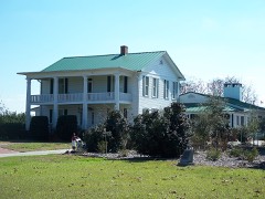 | Albert Carlton Estate | 0.5 miles | 1991 |
| National Archives record | The nomination case file for reference 100002568 in Record Group 79. |
| Hardee County | All 2 listed properties in this county. |