Block
BlockFrom the record
One of 39 National Register listings published here for Broward County · listed in 2019 · category: Building.
Sources: the National Register database, National Park Service
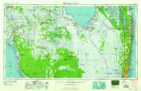
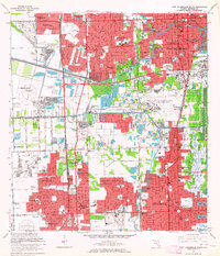
Listed on the National Register of Historic Places in 2019. 9 historic topographic surveys show this location, the earliest from 1949.
One of 39 National Register listings published here for Broward County · listed in 2019 · category: Building.
Sources: the National Register database, National Park Service
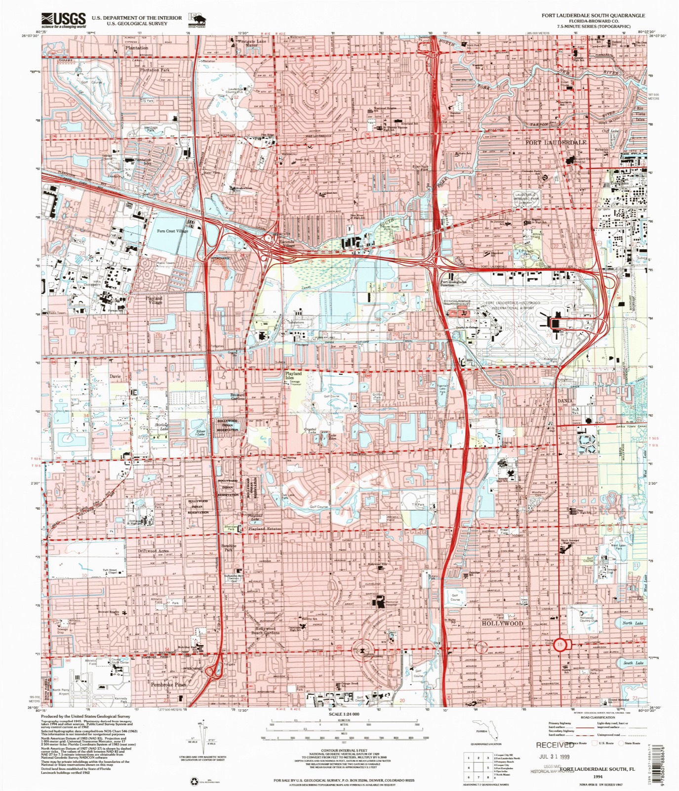
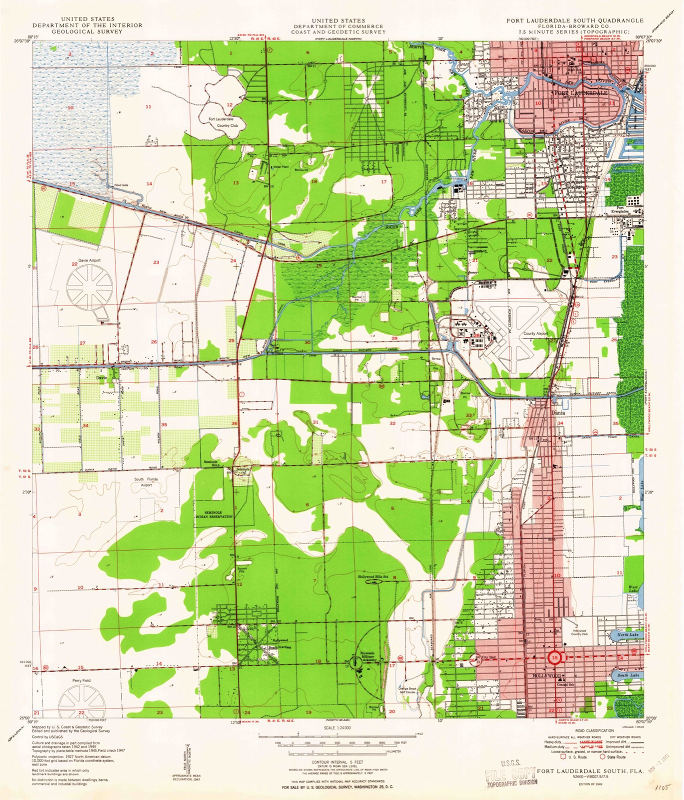
The ground this property stands on, surveyed 45 years apart. Drag the handle to wipe between them. Both sheets are United States Geological Survey originals; neither has been altered.
Regional context, not property-specific evidence. The federal wildfire occurrence database lists 1 fire within 5 miles of Fort Lauderdale Woman's Club in 2011, burning about 4 acres in total. None started naturally. None was recorded as arson. Distance is straight-line from the map coordinates, so a fire counted here may appear on a neighbouring settlement's page as well.
| Reported cause | Fires |
|---|---|
| Missing data/not specified/undetermined | 1 |
The most recent of them, most recent first, with the day each was reported and the service that recorded it.
| Date | Cause | Size | Reported by | Name on the report |
|---|---|---|---|---|
| 23 November 2011 | Missing data/not specified/undetermined | 4.0 acres | Florida Forest Service | DUMP ( 06) |
Regional context, not property-specific evidence. The federal mineral resources record lists 9 workings within 5 miles of Fort Lauderdale Woman's Club: 7 past producers, 1 unknown, 1 producer. 1 still produces. What was taken out: Stone, Crushed/Broken, Stone, Dimension, Sand and Gravel, Construction, Peat, Sand and Gravel, Construction. Distance is straight-line from the map coordinates, so a quarry counted here may appear on a neighbouring settlement's page as well.
| Where | Site | Commodity | Status | Recorded |
|---|---|---|---|---|
| Dania Pit | Peat, Sand and Gravel, Construction | Past Producer | ||
| Pegram Mine | Sand and Gravel, Construction | Past Producer | ||
| Powerline Pit | Silica | Past Producer | ||
| State Road Quarry | Stone, Dimension | Unknown | ||
| Bates Project | Stone, Crushed/Broken | Past Producer | ||
| Decker Quarry | Stone, Crushed/Broken | Past Producer | ||
| Deem Pit | Stone, Crushed/Broken | Past Producer | ||
| Gateway Quarry | Stone, Crushed/Broken | Past Producer | ||
| State Road Quarry | Stone, Crushed/Broken | Producer |
Regional context, not property-specific evidence. The National Weather Service names Fort Lauderdale, the town this property stands in, in 2 storm reports in 1993: 1 tornado, 1 thunderstorm wind. The reports record 2 injuries. Each account below is quoted exactly as the forecast office filed it, from the NOAA Storm Events Database, and each date opens the federal record of that event.
| When | Event | Place named | Harm | What the report says |
|---|---|---|---|---|
| April 1993 | Tornado (F1) | Fort Lauderdale | 2 hurt, $500,000 | A small tornado hop-scotched along a 3-mile path in Fort Lauderdale causing extensive roof damage and broken windows to approximately 8 homes and an apartment complex. Several cars were damaged or destroyed by flying debris or falling trees. About one-third of the surface of the roof of a Broward County Public Library was ripped off. Windows in a nearby shopping center were blown out. Two minor injuries from flying glass were reported. |
| August 1993 | Thunderstorm Wind | Fort Lauderdale | $500,000 | Strong downburst wind gusts to 69 mph struck Fort Lauderdale Executive Airport flipping one small plane and damaging several hangers. |
United States Geological Survey topographic sheets whose coverage includes this point. Matched by taking the coordinate the National Park Service records for this property, then testing that coordinate against the published boundary of every sheet.
Other National Register properties close enough to walk or drive between, ordered by distance from this one. Both positions come from the same geocoding pass that matched these properties to their map sheets.
| Photograph | Property | Distance | Listed |
|---|---|---|---|
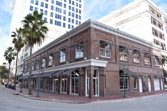 | Bryan Building | 0.2 miles | 1997 |
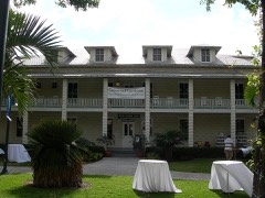 | New River Inn | 0.3 miles | 1972 |
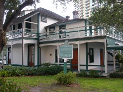 | Stranahan House | 0.4 miles | 1973 |
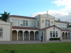 | St. Anthony School | 0.6 miles | 1997 |
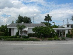 | Alfred and Olive Thorpe Lustron House | 0.7 miles | 2007 |
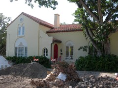 | Williams House | 0.8 miles | 2005 |
| National Archives record | The nomination case file for reference 100003404 in Record Group 79. |
| Broward County | All 39 listed properties in this county. |