Block
BlockFrom the record
One of 1 National Register listings published here for Liberty County · listed in 2020 · category: Building.
Sources: the National Register database, National Park Service
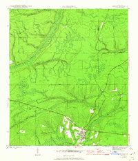
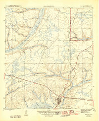
Listed on the National Register of Historic Places in 2020. 8 historic topographic surveys show this location, the earliest from 1945.
One of 1 National Register listings published here for Liberty County · listed in 2020 · category: Building.
Sources: the National Register database, National Park Service
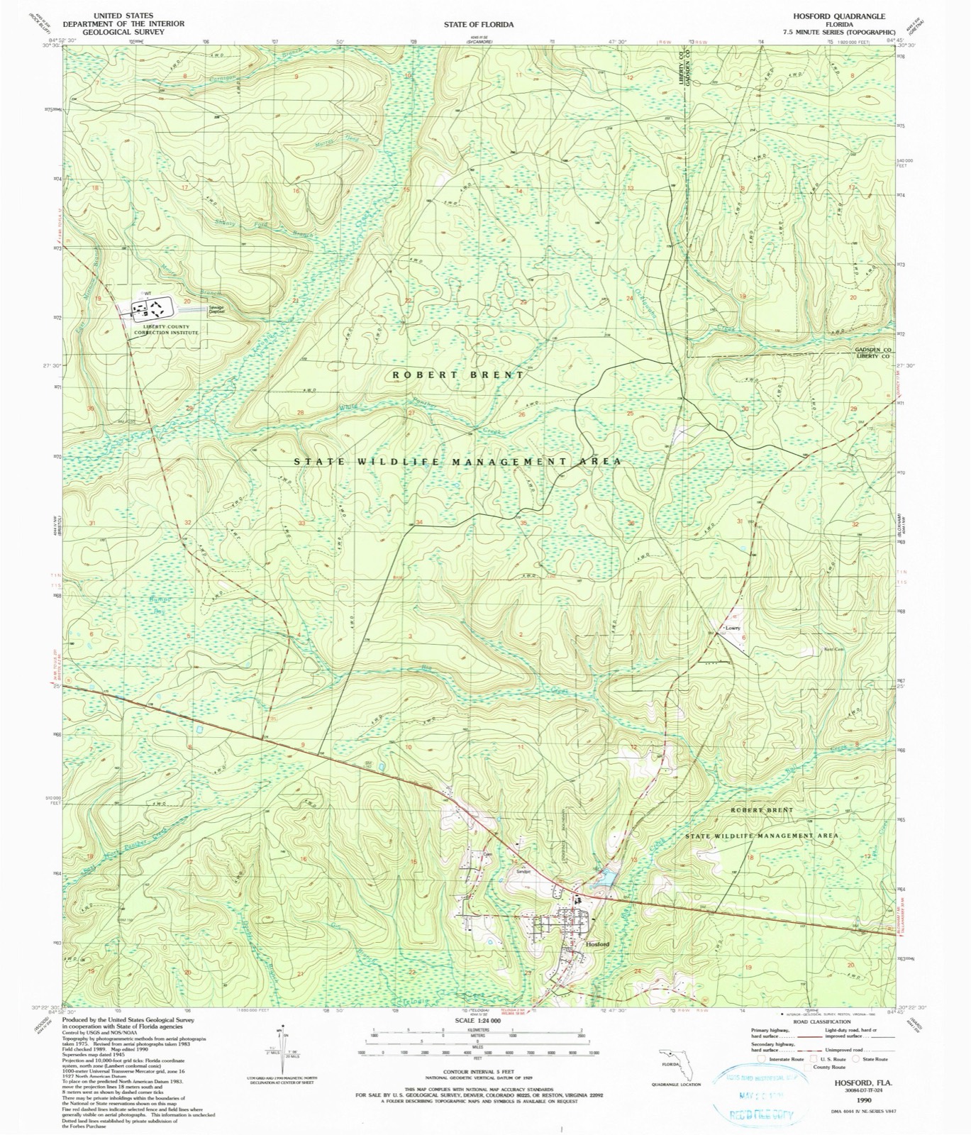
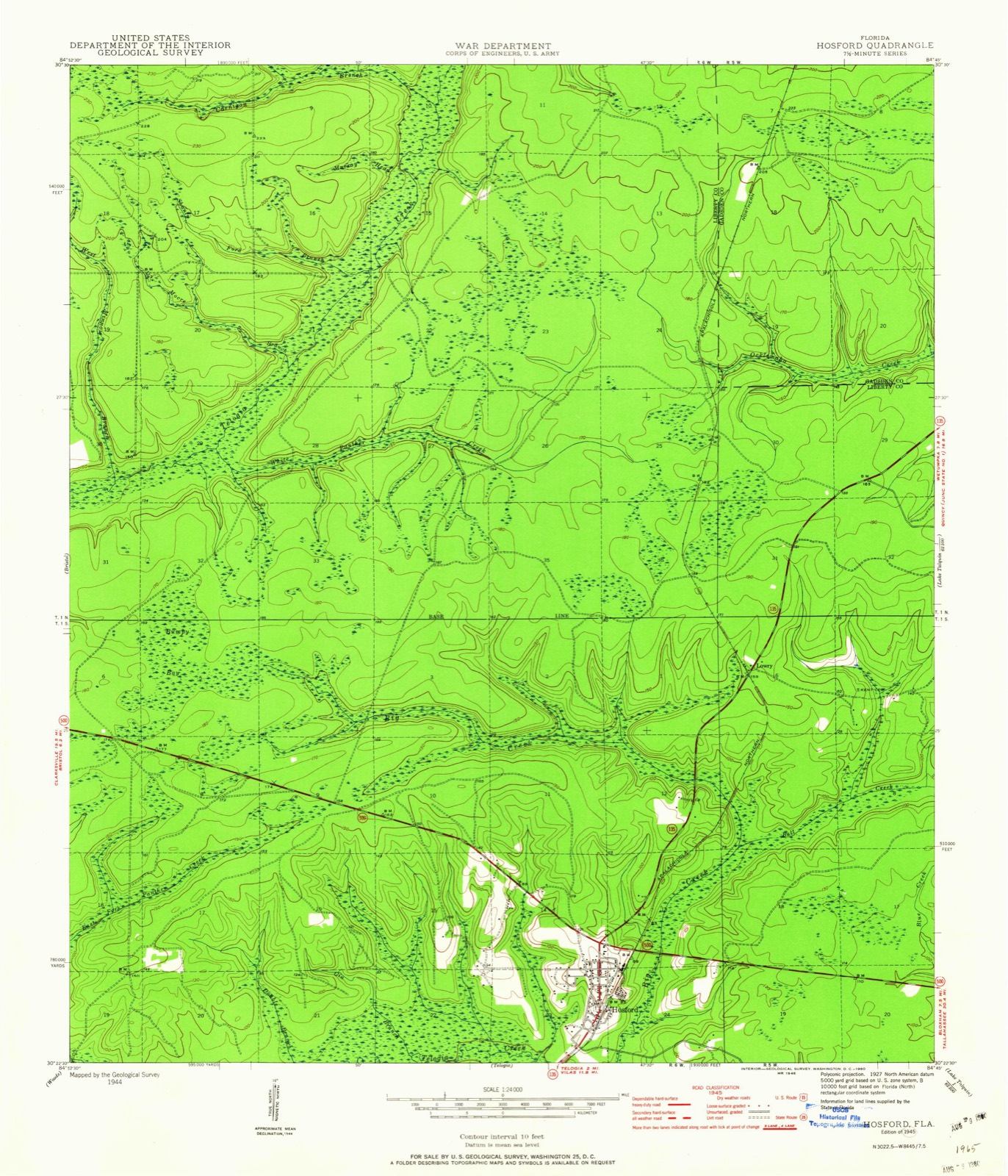
The ground this property stands on, surveyed 45 years apart. Drag the handle to wipe between them. Both sheets are United States Geological Survey originals; neither has been altered.
Regional context, not property-specific evidence. The federal wildfire occurrence database lists 69 fires within 5 miles of Hosford School and Gymnasium between 1992 and 2020, burning about 615 acres in total. 23 started naturally. 2 were recorded as arson. Distance is straight-line from the map coordinates, so a fire counted here may appear on a neighbouring settlement's page as well.
| Reported cause | Fires |
|---|---|
| Natural | 23 |
| Debris and open burning | 16 |
| Missing data/not specified/undetermined | 15 |
| Railroad operations and maintenance | 3 |
| Equipment and vehicle use | 3 |
| Misuse of fire by a minor | 2 |
| Power generation/transmission/distribution | 2 |
| Smoking | 2 |
| Arson/incendiarism | 2 |
| Other causes | 1 |
The most recent of them, most recent first, with the day each was reported and the service that recorded it.
| Date | Cause | Size | Reported by | Name on the report |
|---|---|---|---|---|
| 17 September 2000 | Debris and open burning | 1.0 acres | Florida Forest Service | not named |
| 14 September 1996 | Debris and open burning | under an acre | Florida Forest Service | not named |
| 9 August 2008 | Natural | 13 acres | National Forests in Florida | LUCKY |
| 8 August 1993 | Missing data/not specified/undetermined | 3.0 acres | Florida Forest Service | not named |
| 3 August 1992 | Natural | 17 acres | Florida Forest Service | not named |
| 24 August 2007 | Natural | 2.0 acres | Florida Forest Service | (20) DEMPSEY BARRON FIRE |
| 11 August 2000 | Natural | 1.0 acres | National Forests in Florida | TELOGIA |
| 11 August 2000 | Natural | 1.0 acres | Florida Forest Service | not named |
Regional context, not property-specific evidence. The National Weather Service names Hosford, the town this property stands in, in 23 storm reports between 1998 and 2026: 13 thunderstorm wind, 7 hail, 2 tornado, 1 flash flood. No death or injury is recorded in these reports. Each account below is quoted exactly as the forecast office filed it, from the NOAA Storm Events Database, and each date opens the federal record of that event.
| When | Event | Place named | Harm | What the report says |
|---|---|---|---|---|
| April 2023 | Tornado (EF2) | Hosford | $500,000 | A large tornado touched down on the southwest side of Hosford, FL just west of NE Shadow Lane. The tornado snapped or uprooted several trees on NE Chester Street and NE Liberty Circle. There was some minor roof damage in this quadrant of town and a few damaged outbuildings. In the center of town, near the intersection of SR 20 and SR 65, a gas station and adjacent building suffered minor roof damage. Most damage in these areas was consistent with EF0 or EF1 winds. The tornado continued northeastward along SR 65 where the the highest concentration of damage was found. Damage to homes and snapped trees were noted on both sides of the highway with the trees felled in opposite directions on either side of the road. Several outbuildings were destroyed or heavily damaged. Several homes sustained roof damage on either side of the road. The most significant damage occurred just north of NE Granny Annie Road on SR 65. One single family home had the roof and back porch completely removed. An adjacent home on the same property had the roof of a second story bedroom removed with partial collapse of the walls. The tree damage in this area was also extensive. Winds in this location were estimated to be 125 mph, which justifies an EF2 rating. The tornado was also rather wide with a width around one-half mile at times. The tornado continued to the northeast along SR 65 for a short while, snapping trees along the way before potentially lifting. It is possible the tornado continued east of SR 65 for a ways, but there was no way for the survey team to access these areas. Damage cost was estimated. |
| February 2007 | Tornado (EF1) | Hosford | $15,000 | An EF-1 tornado briefly touched down and destroyed a large newly constructed shed. A roof was blown off a house. Numerous pine trees were snapped. |
| June 2008 | Thunderstorm Wind | Hosford | $10,000 | Four trees were blown down along State Highway 65 just north of Hosford. Two homes suffered minor roof damage from fallen trees. |
| February 2007 | Thunderstorm Wind | Hosford | $10,000 | The Liberty County EMA reported some downed trees. A roof was blown off a house. |
| June 1998 | Thunderstorm Wind | Hosford | $10,000 | no account filed |
| August 1999 | Thunderstorm Wind | Hosford | $5,000 | Liberty County S.O. reported some downed trees and power lines with scattered power outages. |
| July 2014 | Thunderstorm Wind | Hosford | $3,000 | Trees were blown down onto power lines near Hosford. |
| August 2014 | Thunderstorm Wind | Hosford | $2,000 | Multiple trees were blown down in the Hosford area. |
| June 2006 | Thunderstorm Wind | Hosford | $2,000 | The Liberty County Sheriff reported a few trees and power lines down on State Road 67. |
| May 2012 | Thunderstorm Wind | Hosford | $1,000 | At least two trees were blown down in Hosford. Monetary damage was estimated. |
| July 2012 | Thunderstorm Wind | Hosford | $750 | A tree was blown down near Roberts Road in Hosford. Monetary damage was estimated. |
| January 2026 | Thunderstorm Wind | Hosford | - | Tree limbs were blown down across Highway 20. |
| March 2023 | Hail | Hosford | - | There were multiple reports of nickel to quarter sized hail in Hosford that fell for about four minutes. |
| September 2020 | Flash Flood | Hosford | - | A few buildings were flooded near Highway 20 and Highway 65. |
| March 2019 | Thunderstorm Wind | Hosford | - | A tree was blown down in Hosford. |
| September 2018 | Thunderstorm Wind | Hosford | - | A very large branch was blown down onto Highway 20. |
| June 2016 | Thunderstorm Wind | Hosford | - | A tree was blown down in Hosford. |
| August 2014 | Hail | Hosford | - | Quarter size hail was reported at the Busy Boy gas station just off of State Route 20 near Hosford. |
| August 2014 | Hail | Hosford | - | Dispatch reported hail up to golf ball size in the Hosford area. |
| May 2012 | Hail | Hosford | - | Golf ball size hail fell in Hosford. |
| February 1998 | Hail | Hosford | - | Dime size hail reported by Liberty County Sheriffs deputy. |
| March 2024 | Hail | Hosford | - | no account filed |
| July 2012 | Hail | Hosford | - | no account filed |
United States Geological Survey topographic sheets whose coverage includes this point. Matched by taking the coordinate the National Park Service records for this property, then testing that coordinate against the published boundary of every sheet.
| National Archives record | The nomination case file for reference 100005392 in Record Group 79. |
| Liberty County | All 1 listed properties in this county. |