Block
BlockFrom the record
One of 41 National Register listings published here for Brevard County · listed in 2023 · category: Building.
Sources: the National Register database, National Park Service
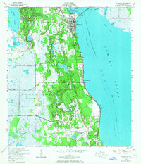
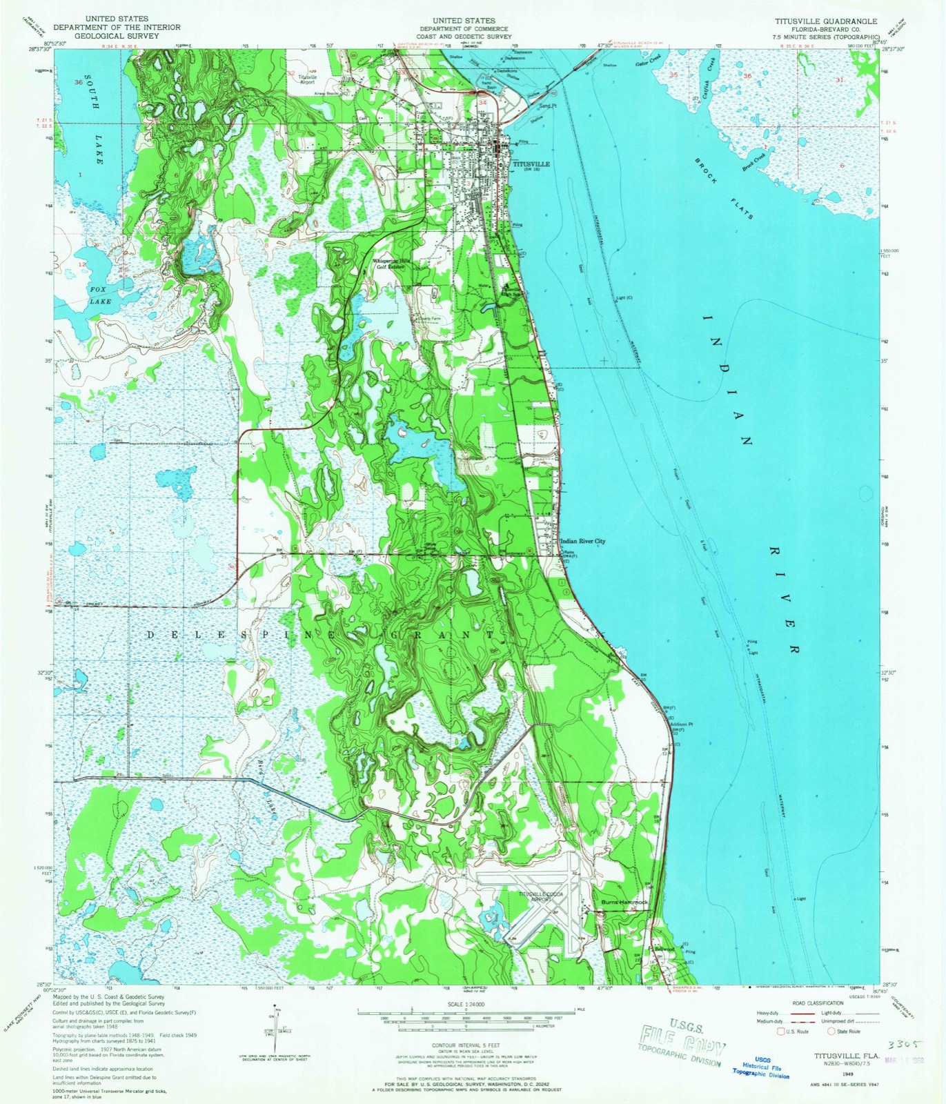
Listed on the National Register of Historic Places in 2023. 7 historic topographic surveys show this location, the earliest from 1949.
One of 41 National Register listings published here for Brevard County · listed in 2023 · category: Building.
Sources: the National Register database, National Park Service
The ground this property stands on, surveyed 30 years apart. Drag the handle to wipe between them. Both sheets are United States Geological Survey originals; neither has been altered.
Regional context, not property-specific evidence. The federal wildfire occurrence database lists 121 fires within 5 miles of Imperial Towers Apartments between 1992 and 2020, burning about 17,515 acres in total. 44 started naturally. 10 were recorded as arson. Distance is straight-line from the map coordinates, so a fire counted here may appear on a neighbouring settlement's page as well.
| Reported cause | Fires |
|---|---|
| Natural | 44 |
| Railroad operations and maintenance | 22 |
| Equipment and vehicle use | 16 |
| Missing data/not specified/undetermined | 11 |
| Arson/incendiarism | 10 |
| Recreation and ceremony | 7 |
| Debris and open burning | 4 |
| Power generation/transmission/distribution | 3 |
| Misuse of fire by a minor | 3 |
| Smoking | 1 |
The most recent of them, most recent first, with the day each was reported and the service that recorded it.
| Date | Cause | Size | Reported by | Name on the report |
|---|---|---|---|---|
| 26 September 2016 | Natural | 120 acres | Merritt Island National Wildlife Refuge | TEAL |
| 20 September 2013 | Arson/incendiarism | under an acre | Merritt Island National Wildlife Refuge | WEST GATOR CREEK FIRE |
| 10 September 2015 | Recreation and ceremony | under an acre | Merritt Island National Wildlife Refuge | 95 |
| 8 August 1993 | Equipment and vehicle use | 5.0 acres | Florida Forest Service | not named |
| 4 August 1993 | Railroad operations and maintenance | 46 acres | Florida Forest Service | not named |
| 26 August 1997 | Railroad operations and maintenance | 2.0 acres | Florida Forest Service | not named |
| 26 August 1996 | Equipment and vehicle use | 1.0 acres | Florida Forest Service | not named |
| 25 August 2007 | Natural | under an acre | Florida Forest Service | SOUTH CARPENTER (5) |
Regional context, not property-specific evidence. The federal mineral resources record lists 2 workings within 5 miles of Imperial Towers Apartments: 2 producers. All of them still produce. What was taken out: Sand. Distance is straight-line from the map coordinates, so a quarry counted here may appear on a neighbouring settlement's page as well.
| Where | Site | Commodity | Status | Recorded |
|---|---|---|---|---|
| Fredrick Renaud Co. - Renaud Pit | Sand | Producer | ||
| Kirschenbaum Co. - Ti-Co Pit | Sand | Producer |
Regional context, not property-specific evidence. The National Weather Service names Titusville, the town this property stands in, in 54 storm reports between 1993 and 2024: 24 hail, 21 thunderstorm wind, 4 tornado, 2 lightning. The reports record 1 death and 2 injuries. Each account below is quoted exactly as the forecast office filed it, from the NOAA Storm Events Database, and each date opens the federal record of that event.
| When | Event | Place named | Harm | What the report says |
|---|---|---|---|---|
| July 1996 | Lightning | Titusville | 1 killed | no account filed |
| August 1995 | Tornado (F1) | Titusville | 1 hurt, $60,000 | Rain showers from Tropical Storm Erin produced a small tornado in Titusville, knocking out power lines and motel signs. It blew large windows out of three buildings injuring one person with flying glass. It damaged the roof of a Sears store and a McDonalds restaurant and blew windows out of parked cars. |
| June 2000 | Lightning | Titusville | 1 hurt | A 41 year old man was struck and seriously injured by lightning while on a construction site in Titusville. |
| June 1998 | Thunderstorm Wind | Titusville | $40,000 | Thunderstorm winds damaged a pier and the roof of a restaurant in Titusville. |
| June 2007 | Thunderstorm Wind | Titusville | $20,000 | Thunderstorm winds destroyed a gas station pump island awning. |
| August 1993 | Tornado (F0) | Titusville | $5,000 | A waterspout formed over the Banana River and moved ashore tossing plastic chairs 100 feet into the air and shattering a dozen car windows. |
| July 2024 | Thunderstorm Wind | Titusville | $3,500 | Public report of damage to portions of a vinyl fence. |
| July 2024 | Thunderstorm Wind | Titusville | $1,000 | Public report of a tree down near the intersection of Hopkins Ave and Court St. |
| June 2001 | Thunderstorm Wind | Titusville | $1,000 | Thunderstorm winds blew down power lines and trees that damaged a car in Titusville. |
| March 1993 | Thunderstorm Wind | Titusville | $500 | Thunderstorm winds blew down trees and power lines. |
| July 2023 | Thunderstorm Wind | Titusville | - | USSF Tower 0714 measured a 56 knot wind gust from the west-southwest. |
| June 2022 | Thunderstorm Wind | Titusville | - | US Space Force wind tower 0714 measured a peak wind gust of 64 mph from the west-northwest. |
| August 2018 | Thunderstorm Wind | Titusville | - | USAF wind tower 0714 within the Merritt Island National Wildlife Refuge, east of Titusville, recorded a peak wind of 58 mph from the southwest as a severe thunderstorm moved across a non-populated area of northern Merritt Island toward the Atlantic. |
| March 2013 | Hail | Titusville | - | A weather spotter reported nickel size hail at County Road 405 near Walmart in Titusville. |
| May 2012 | Hail | Titusville | - | Public reported half-dollar-sized hail near Titusville. |
| August 2012 | Thunderstorm Wind | Titusville | - | U.S. Air Force Wind Tower 714 at the Kennedy Space Center recorded a wind gust of 57 kts/66 mph during a severe thunderstorm. |
| June 2011 | Thunderstorm Wind | Titusville | - | Peak wing gusts reached 75 mph as the NASA Shuttle Landing Facility observation site as a severe thunderstorm moved across the barrier island from the mainland, and toward the Atlantic. Minor wind damage and small hail impacted portions of the Kennedy Space Center as the storm moved through. |
| January 2011 | Thunderstorm Wind | Titusville | - | Wind gusts from the West reached 52 knots at the NASA Shuttle Landing Facility (KTTS) weather observation site as a strong squall line passed. |
| January 2011 | Thunderstorm Wind | Titusville | - | Winds ripped a carport apart and threw the debris into powerlines. A strong squall line was passing the region at the time of the damage. |
| April 2011 | Hail | Titusville | - | A citizen reported golf ball sized hail in the city of Titusville. The report was relayed from Orlando media. |
| March 2011 | Hail | Titusville | - | Quarter sized hail observed by weather spotter. |
| March 2011 | Thunderstorm Wind | Titusville | - | The ASOS at the NASA Shuttle Landing Facility recorded peak winds of 56 knots. |
| July 2008 | Hail | Titusville | - | Penny size hail lasting up to seven minutes was reported in Titusville. |
| July 2006 | Heavy Rain | Titusville | - | NASA reported over 4 inches of rain over the Kennedy Space Center complex. |
| August 2005 | Funnel Cloud | Titusville | - | The NASA Shuttle Landing Facility observation carried a funnel cloud. |
| February 2004 | Thunderstorm Wind | Titusville | - | Titusville airport measured a wind gust to 59 mph. |
| July 2004 | Thunderstorm Wind | Titusville | - | Thunderstorm winds blew down a large tree and a light pole in Titusville. |
| July 2004 | Thunderstorm Wind | Titusville | - | Thunderstorm winds blew down power lines and trees in Titusville. One falling tree broke a power line and started a fire at a house. |
| August 2001 | Thunderstorm Wind | Titusville | - | Thunderstorm winds blew down trees and wires. |
| July 1999 | Thunderstorm Wind | Titusville | - | Thunderstorm winds blew down a few trees and power lines in Titusville. |
| May 1999 | Tornado (F0) | Titusville | - | A brief F0 tornado touched down in Titusville and damaged a few trees, business signs and shrubs. |
| June 1999 | Funnel Cloud | Titusville | - | The observer at the Titusville Executive Airport reported seeing a funnel cloud over the Indian River Lagoon. |
| August 1998 | Thunderstorm Wind | Titusville | - | Thunderstorm winds blew down large tree limbs in the Titusville area. |
| July 1997 | Tornado (F0) | Titusville | - | An F0 tornado touched down briefly in a swamp area west of Titusville. |
| October 1997 | Thunderstorm Wind | Titusville | - | Power lines were blown down in Titusville. |
| February 1993 | Hail | Titusville | - | Nickle- to quarter-size hail fell south of Titusville. |
| June 2007 | Hail | Titusville | - | no account filed |
| April 2005 | Hail | Titusville | - | no account filed |
| May 2005 | Hail | Titusville | - | no account filed |
| June 2004 | Hail | Titusville | - | no account filed |
| June 2004 | Hail | Titusville | - | no account filed |
| April 2003 | Hail | Titusville | - | no account filed |
| July 2002 | Hail | Titusville | - | no account filed |
| June 2001 | Hail | Titusville | - | no account filed |
| June 2001 | Hail | Titusville | - | no account filed |
| June 2001 | Hail | Titusville | - | no account filed |
| August 2001 | Hail | Titusville | - | no account filed |
| May 2000 | Hail | Titusville | - | no account filed |
| May 1999 | Hail | Titusville | - | no account filed |
| June 1997 | Hail | Titusville | - | no account filed |
| March 1996 | Hail | Titusville | - | no account filed |
| March 1996 | Hail | Titusville | - | no account filed |
| March 1996 | Hail | Titusville | - | no account filed |
| March 1996 | Hail | Titusville | - | no account filed |
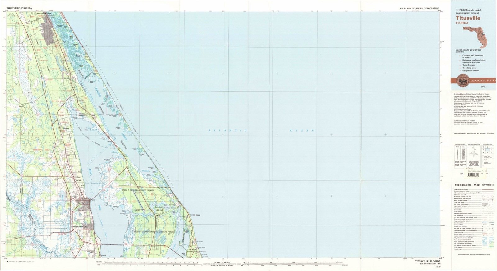
United States Geological Survey topographic sheets whose coverage includes this point. Matched by taking the coordinate the National Park Service records for this property, then testing that coordinate against the published boundary of every sheet.
Other National Register properties close enough to walk or drive between, ordered by distance from this one. Both positions come from the same geocoding pass that matched these properties to their map sheets.
| Photograph | Property | Distance | Listed |
|---|---|---|---|
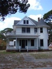 | Spell House | 1.3 miles | 1990 |
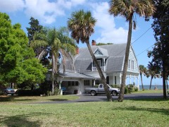 | Judge George Robbins House | 1.7 miles | 1990 |
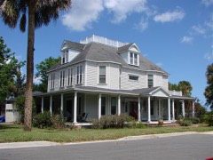 | Wager House | 1.8 miles | 1990 |
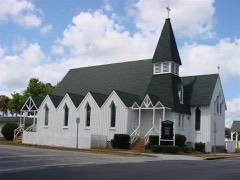 | St. Gabriel's Episcopal Church | 1.8 miles | 1972 |
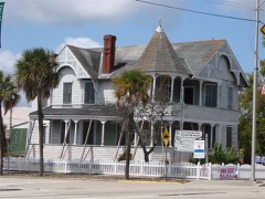 | Pritchard House | 1.9 miles | 1990 |
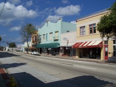 | Titusville Commercial District | 2.0 miles | 1990 |
| National Archives record | The nomination case file for reference 100006776 in Record Group 79. |
| Brevard County | All 41 listed properties in this county. |