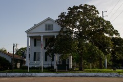
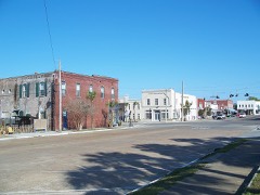
Photograph by The original uploader was JW1805 at English Wikipedia, Public domain. Via
Wikimedia Commons.
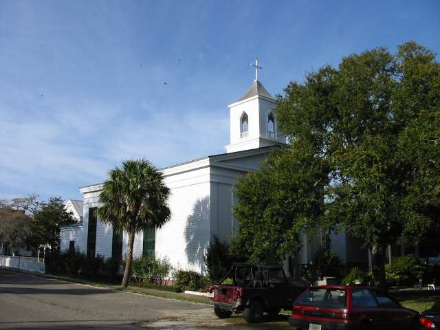
Trinity Episcopal Church
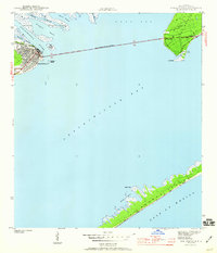
Listed on the National Register of Historic Places in 1972. 11 historic topographic surveys show this location, the earliest from 1943.
From the record
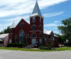
“Trinity Episcopal Church, originally known as Christ Church, is a historic house of worship in Apalachicola, Florida, United States, located at the corner of Avenue D and 6th Street. On June 30, 1972, it was added to the U.S.”
Wikipedia article Trinity Episcopal Church (Apalachicola, Florida), CC BY-SA 4.0.
One of 8 National Register listings published here for Franklin County · listed in 1972 · category: Building.
National Register reference number.72000317- the number the National Park Service assigned this property when it was listed, and the key its nomination file is catalogued under at the National Archives.
Then and now
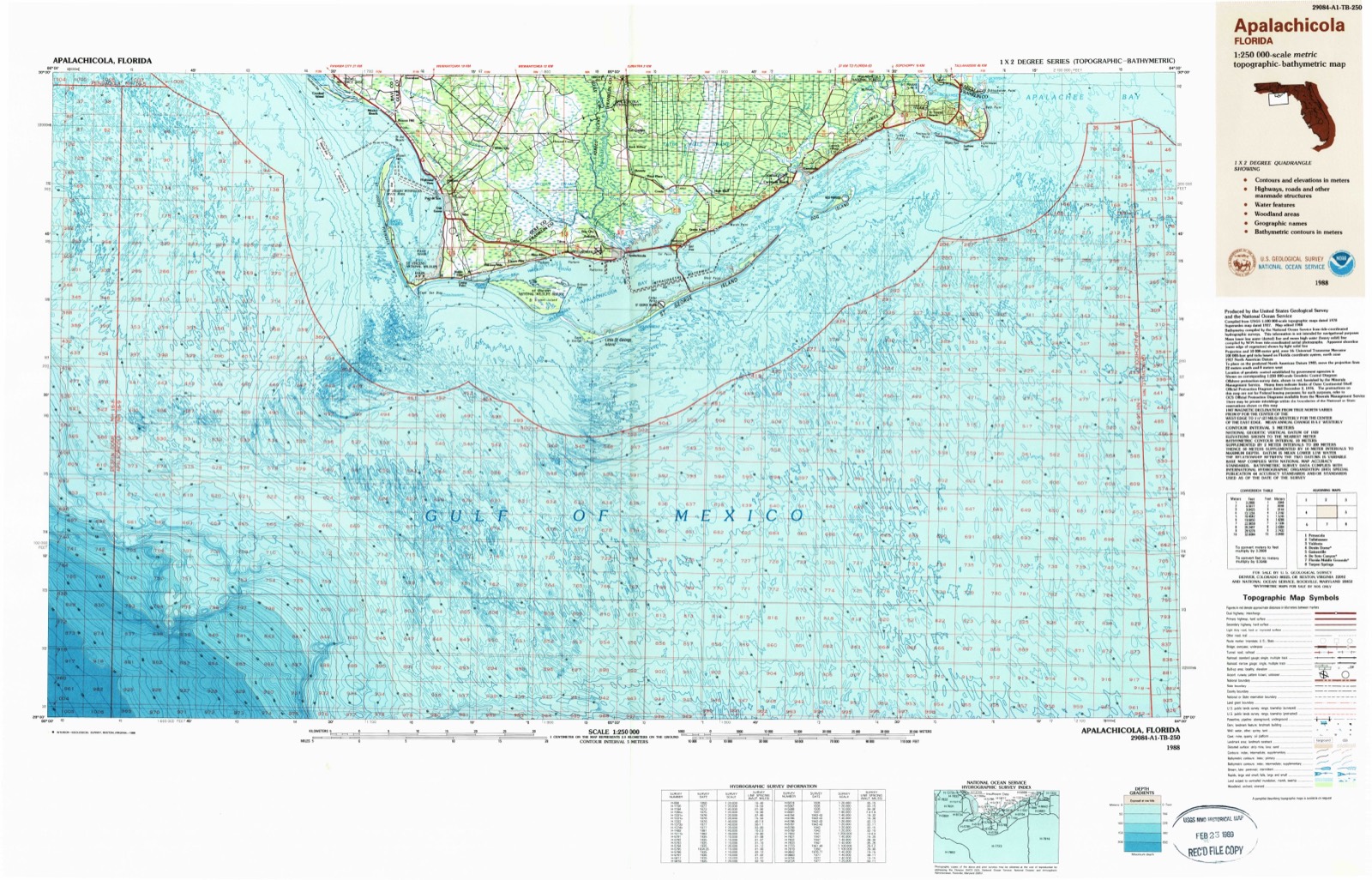
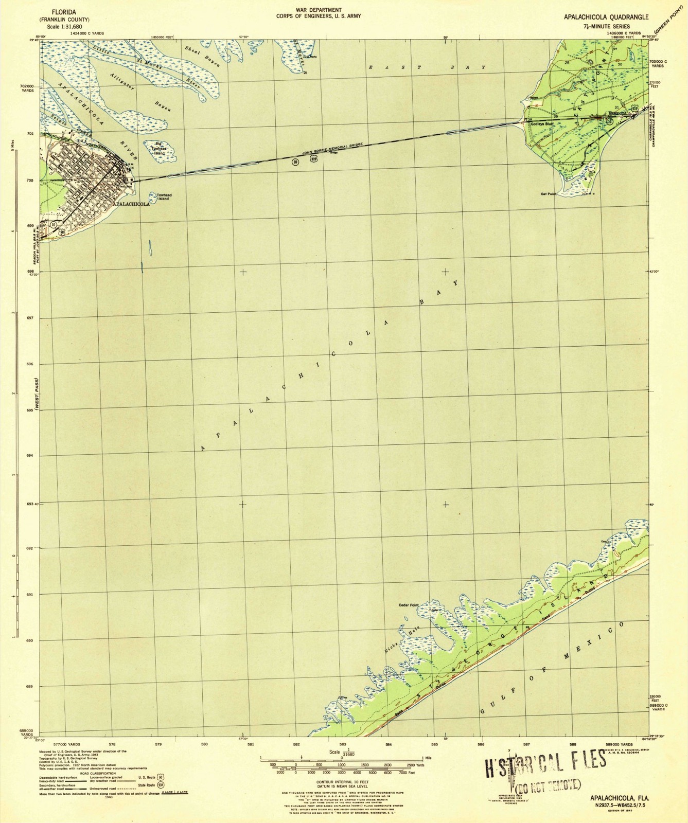
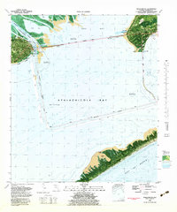
1943 to 1988
The ground this property stands on, surveyed
45 years apart. Drag the handle to wipe between them. Both sheets are
United States Geological Survey originals; neither has been altered.
19431988
Fires near this property
74 since 1992
Regional context, not property-specific
evidence. The
federal wildfire occurrence database
lists 74 fires within 5 miles of Trinity Episcopal Church
between 1992 and 2020, burning about 1,840 acres in total. 7 started naturally. 4 were recorded as arson.
Distance is straight-line from the map coordinates, so a fire counted
here may appear on a neighbouring settlement's page as well.
Reported cause
Fires
Equipment and vehicle use
17
Missing data/not specified/undetermined
13
Misuse of fire by a minor
10
Debris and open burning
10
Natural
7
Railroad operations and maintenance
6
Recreation and ceremony
4
Arson/incendiarism
4
Fireworks
1
Power generation/transmission/distribution
1
Smoking
1
The most recent of
them, most recent first, with the day each was reported and the service
that recorded it.
Regional context, not property-specific
evidence. The National Weather Service names
Apalachicola, the town this property stands in, in 28 storm reports between 1993 and 2024: 10 thunderstorm wind, 7 flash flood, 5 tornado, 2 waterspout.
The reports record 1 injury. Each account below is quoted exactly as the forecast office
filed it, from the NOAA Storm Events Database, and each date
opens the federal record of that event.
A waterspout came ashore near U.S. Highway 98 and 26th Street. The tornado then tracked northeast through Apalachicola, and lifted near Water Street and Avenue G. A few boats at a marina were capsized. Four homes were destroyed and four dozen others were damaged. Hundreds of trees were either knocked down or had their tops sheared off, and numerous utility poles were down. The main electrical power substation was damaged, causing a citywide power outage. All telephone and TV cable lines were down. A restaurant along U.S. Highway 98 sustained heavy damage to its roof and outbuildings. An elementary school received minor roof damage. The city's hospital suffered heavy damage. A portion of the hospital's roof collapsed, winds blew out numerous windows, and two air handling units were torn from the roof. A local state of emergency was declared. Reports were provided by the Franklin County EMA and Sheriff, and damage surveyed by the NWS.
An F1 tornado touched down on St George Island. It destroyed a house at 320 Marks Street, and moderately damaged a neighboring house. Ten other houses on Marks Street sustained minor damage. Reported by the Franklin County EMA.
Straight-line winds inflicted minor roof damage to a drug store. Several tree tops were snapped off, one which fell onto a vehicle. The flagpole at the National Guard Armory Post was bent horizontally.
A tornadic waterspout moved onshore western portion of St. George Island, causing minor tree damage and minor roof damage to 3 well-built coastal homes. Video on social media confirms that the tornado was on the ground as it crossed the beach. Damage was supportive of high end EF0 rating with max winds estimated near 85 mph. The survey was conducted with help and data from Franklin County Emergency Management.
A waterspout made brief landfall on the west end of Saint George Island as a tornado before moving out over the open Gulf of Mexico. Minor damage was reported to a home along Seahorse Lane consistent with an EF-0 rating. The timing and track of the tornado was refined using radar data and photos of the waterspout over Apalachicola Bay and the Gulf of Mexico from social media.
The public reported that their driveway had ruts 12 inches deep from running water through town down to the bay. You could hear the water running through town down to the bay from the end of Ave C Road.
Several roads were reported underwater across St George Island with pictures on social media of flooding as well. An Ambient weather station on 7th St W on St George Island measured 6.94 inches of rain in about 5 hours.
The Citizen Weather Observer Program station CW8103 located on St. George Island reported a rainfall total of 9.10 in a roughly 16 hour time period. This is not a flood prone area, and no significant flooding was reported.
A waterspout was sighted over Apalachicola Bay moving northeast toward Apalachicola and East Bay. It passed over the John Gorrie Memorial Bridge between Apalachicola and Eastpoint, then dissipated near Magnolia Bluff. Reported by the Franklin County EMA.
United States Geological Survey topographic
sheets whose coverage includes this point. Matched by taking the coordinate the National Park Service records for this property, then
testing that coordinate against the published boundary of every sheet.
Other National Register properties close
enough to walk or drive between, ordered by distance from this one. Both
positions come from the same geocoding pass that matched these properties
to their map sheets.
Listing record. National Park Service National Register of Historic Places, listed-properties dataset, current to 2026-05-22.
Map join. Address geocoded through the United States Census geocoder, then tested against the published boundary of every sheet in the USGS Historical Topographic Map Collection.
How this page is made. Listing fields come from federal records; map-sheet coverage is a labelled coordinate-to-boundary calculation, not a source-field claim.
Wildfire. Short, Karen C. 2022. Spatial wildfire occurrence data for the United States, 1992-2020 [FPA_FOD_20221014]. 6th Edition. Fort Collins, CO: Forest Service Research Data Archive. https://doi.org/10.2737/RDS-2013-0009.6 Collected with United States Government funding and usable without additional permissions or fees.
Storms. NOAA National Centers for Environmental Information, Storm Events Database https://www.ncei.noaa.gov/stormevents/ A work of the United States government, no copyright under 17 U.S.C. 105. Narratives are quoted verbatim from the National Weather Service report and are not edited or summarised.
 Block
Block