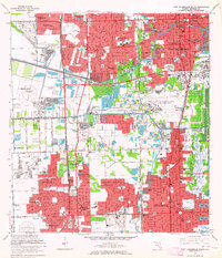
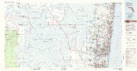
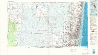
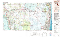
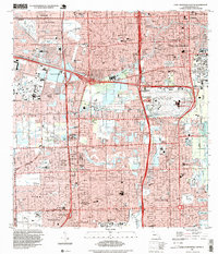
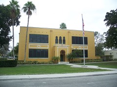
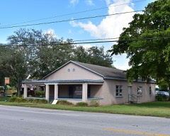
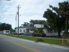
Listed on the National Register of Historic Places in 1978. 9 historic topographic surveys show this location, the earliest from 1949.
From the record
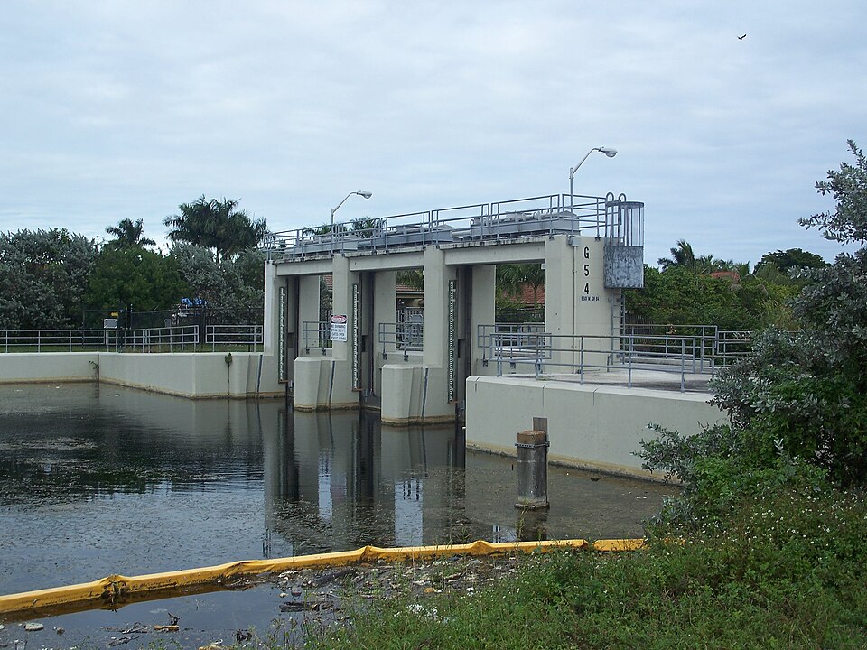
“Lock No. 1, North New River Canal, which opened in 1912, is a historic lock on the North New River Canal located between Davie and Plantation, Florida, United States. It is located south of Plantation on SR 84.”
Wikipedia article Lock No. 1, North New River Canal, CC BY-SA 4.0.
One of 39 National Register listings published here for Broward County · listed in 1978 · category: Structure.
National Register reference number.78000932- the number the National Park Service assigned this property when it was listed, and the key its nomination file is catalogued under at the National Archives.
Then and now
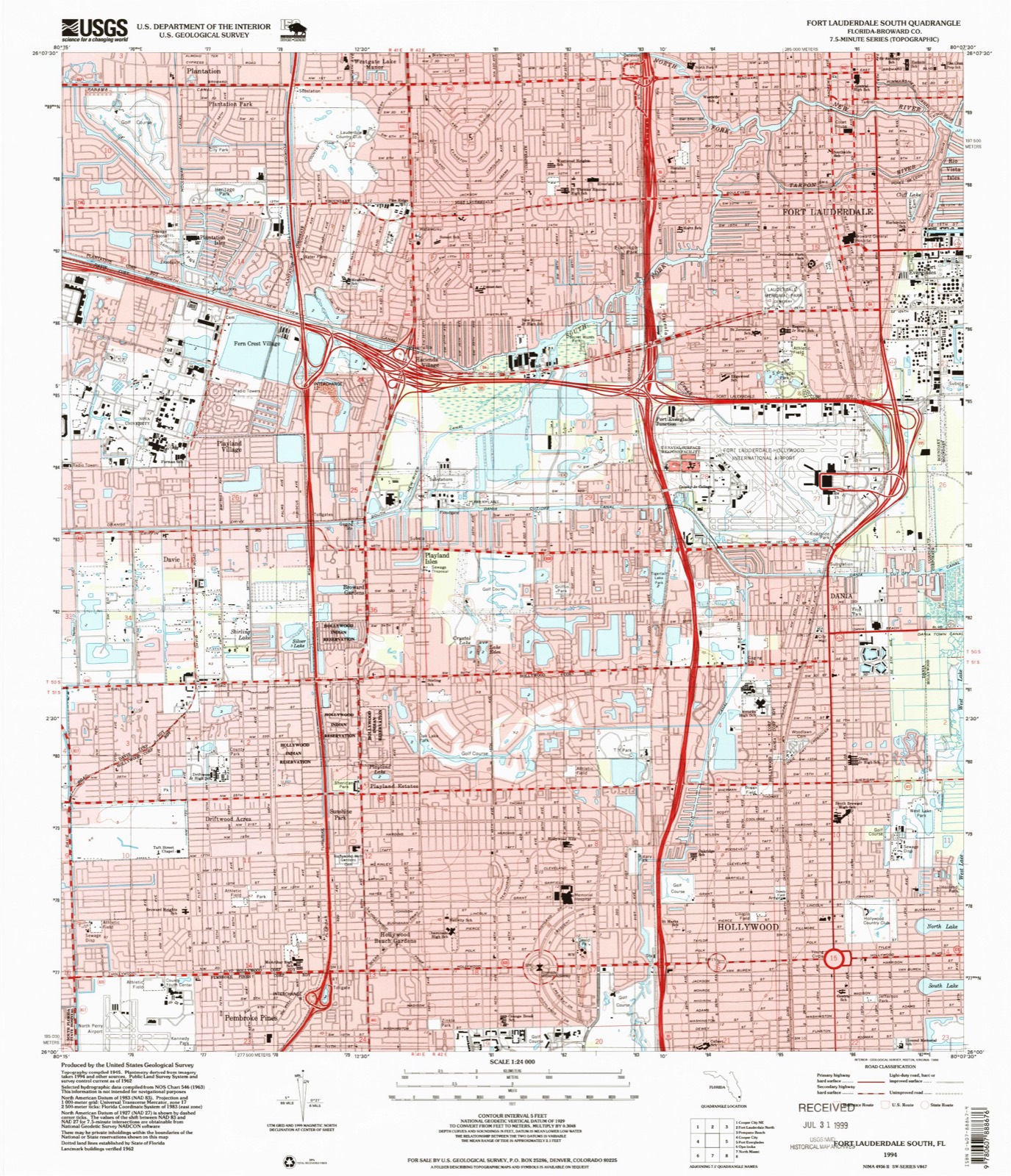
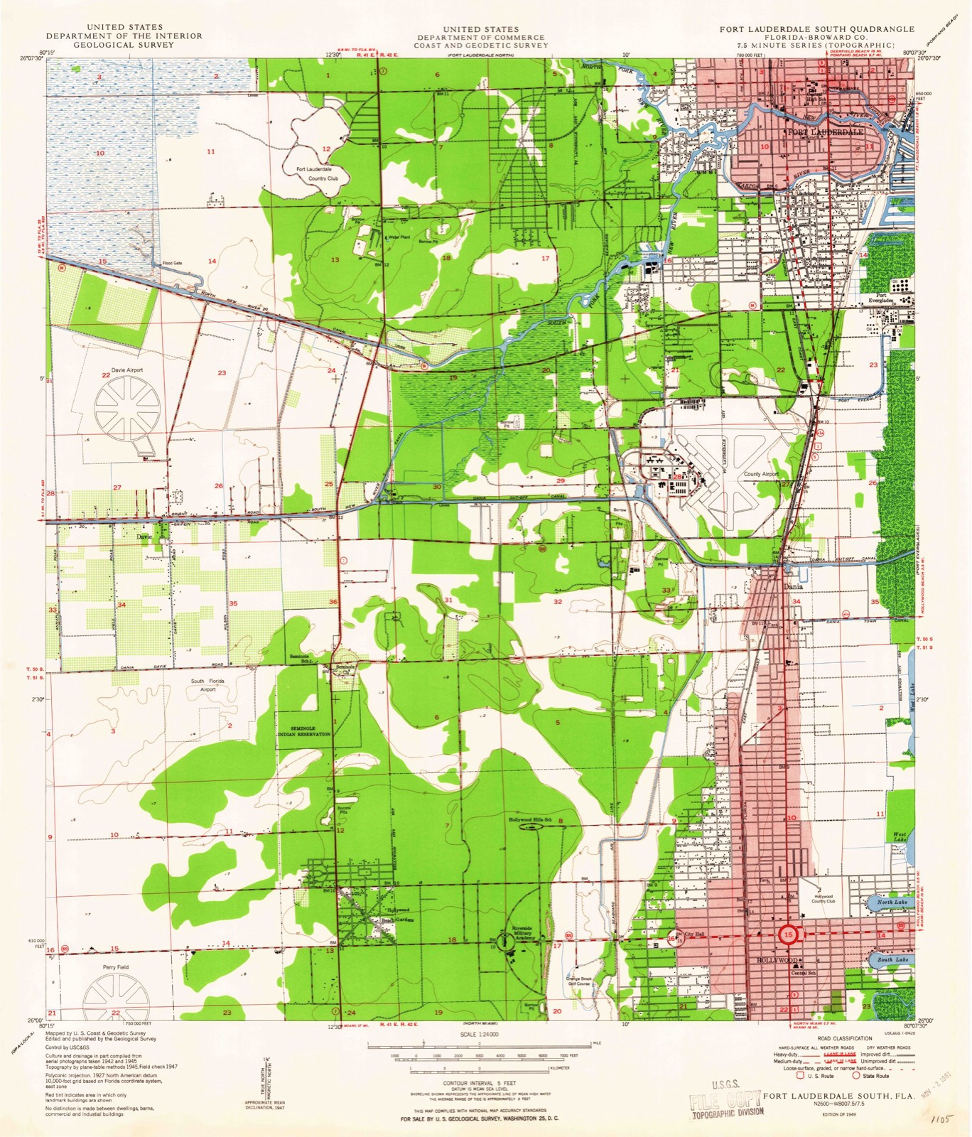
1949 to 1994
The ground this property stands on, surveyed
45 years apart. Drag the handle to wipe between them. Both sheets are
United States Geological Survey originals; neither has been altered.
19491994
Fires near this property
11 since 1993
Regional context, not property-specific
evidence. The
federal wildfire occurrence database
lists 11 fires within 5 miles of Lock No. 1, North New River Canal
between 1993 and 2011, burning about 39 acres in total. None started naturally. 1 was recorded as arson.
Distance is straight-line from the map coordinates, so a fire counted
here may appear on a neighbouring settlement's page as well.
Reported cause
Fires
Railroad operations and maintenance
3
Debris and open burning
2
Missing data/not specified/undetermined
2
Misuse of fire by a minor
2
Arson/incendiarism
1
Equipment and vehicle use
1
The most recent of
them, most recent first, with the day each was reported and the service
that recorded it.
Regional context, not property-specific
evidence. The federal mineral resources record lists
11 workings within 5 miles of Lock No. 1, North New River Canal: 5 past producers, 5 producers, 1 unknown.
5 still produce. What was taken out: Stone, Crushed/Broken, Stone, Dimension, Sand and Gravel, Construction, Silica. Distance is straight-line from the
map coordinates, so a quarry counted here may appear on a neighbouring
settlement's page as well.
Regional context, not property-specific
evidence. The National Weather Service names
Plantation, the town this property stands in, in 29 storm reports between 1997 and 2013: 8 thunderstorm wind, 5 hail, 5 funnel cloud, 5 lightning.
The reports record 3 injuries. Each account below is quoted exactly as the forecast office
filed it, from the NOAA Storm Events Database, and each date
opens the federal record of that event.
A male construction worker at a golf course was injured when lightning struck a pickup truck and flashed off of it. He suffered burns and was transported to the hospital then released. It was raining at the time.
Torrential rainfall affected eastern sections of metro Broward County during the overnight hours of October 31st. Rainfall totals of 8 to 12 inches occurred over an area bounded by I-595 to the south and Pompano Beach to the north, from NW 31 Ave to the west all the way to the Atlantic coast. A few spots in this area likely received amounts close to 15 inches in about a 9-hour time span. These rains fell over areas already saturated from the rains of the previous two days. A total of 402 homes were affected by water damage and streets were closed due to inundation in Fort Lauderdale, Oakland Park, Wilton Manors and Pompano Beach. The area hardest-hit was between Broward and Commercial Boulevards between I-95 and Federal Highway where water covered the ground up to a few feet. ||The city of Fort Lauderdale opened a shelter for displaced residents in the hardest-hit areas. These areas qualified for federal assistance due to the magnitude and areal coverage of the flooding.||Damage amounts listed here are estimated by emergency managers taking into account total number of damaged properties and SBA loans.
An EF0 tornado touched down just north of Interstate 595 and moved across the Riverland Village, Melrose Park and Washington Park neighborhoods of west Fort Lauderdale. The tornado moved north-northeast, roughly paralleling 31st Avenue, before lifting just south of Sunrise Boulevard. The tornado's widest point was about one-eighth of a mile between SW 4th St and SW 8th St, or between Davie and Broward Boulevards. Minor damage to roofs was noted along with fences, awnings, power lines and trees blown down.
Lightning struck the roof of The Waves apartment complex in Plantation. The strike set off flames in the attic and severely damaged four apartments.||A total of 9 people were displaced from their homes because of the fires.
Broadcast Media and Law Enforcement reported a weak tornado touched down at Power Catamarans of South Florida damaging dinghies and watercraft. A couple of boats were overturned in the marina with one boat having a bent up shade and a catamaran was pushed into a fence. The force of the tornado also picked up three small Livingston catamarans and blew them across the yard along with a couple more on a rack. There was also one downed power line and some flashing was torn from a building.
United States Geological Survey topographic
sheets whose coverage includes this point. Matched by taking the coordinate the National Park Service records for this property, then
testing that coordinate against the published boundary of every sheet.
Other National Register properties close
enough to walk or drive between, ordered by distance from this one. Both
positions come from the same geocoding pass that matched these properties
to their map sheets.
Listing record. National Park Service National Register of Historic Places, listed-properties dataset, current to 2026-05-22.
Map join. Address geocoded through the United States Census geocoder, then tested against the published boundary of every sheet in the USGS Historical Topographic Map Collection.
How this page is made. Listing fields come from federal records; map-sheet coverage is a labelled coordinate-to-boundary calculation, not a source-field claim.
Wildfire. Short, Karen C. 2022. Spatial wildfire occurrence data for the United States, 1992-2020 [FPA_FOD_20221014]. 6th Edition. Fort Collins, CO: Forest Service Research Data Archive. https://doi.org/10.2737/RDS-2013-0009.6 Collected with United States Government funding and usable without additional permissions or fees.
Mines and quarries. USGS Mineral Resources Data System (MRDS) https://mrdata.usgs.gov/mrds/ A work of the United States government, no copyright under 17 U.S.C. 105.
Storms. NOAA National Centers for Environmental Information, Storm Events Database https://www.ncei.noaa.gov/stormevents/ A work of the United States government, no copyright under 17 U.S.C. 105. Narratives are quoted verbatim from the National Weather Service report and are not edited or summarised.
 Block
Block