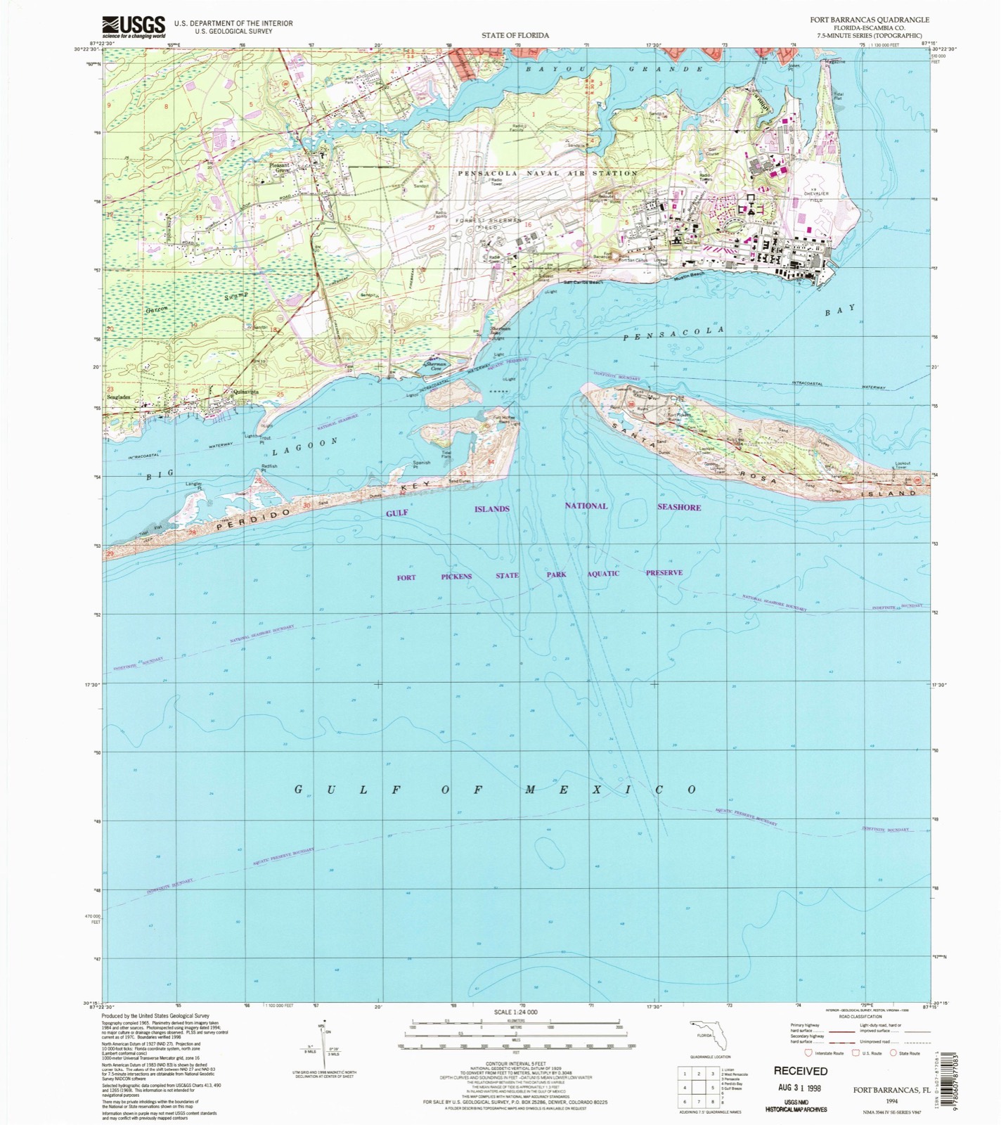
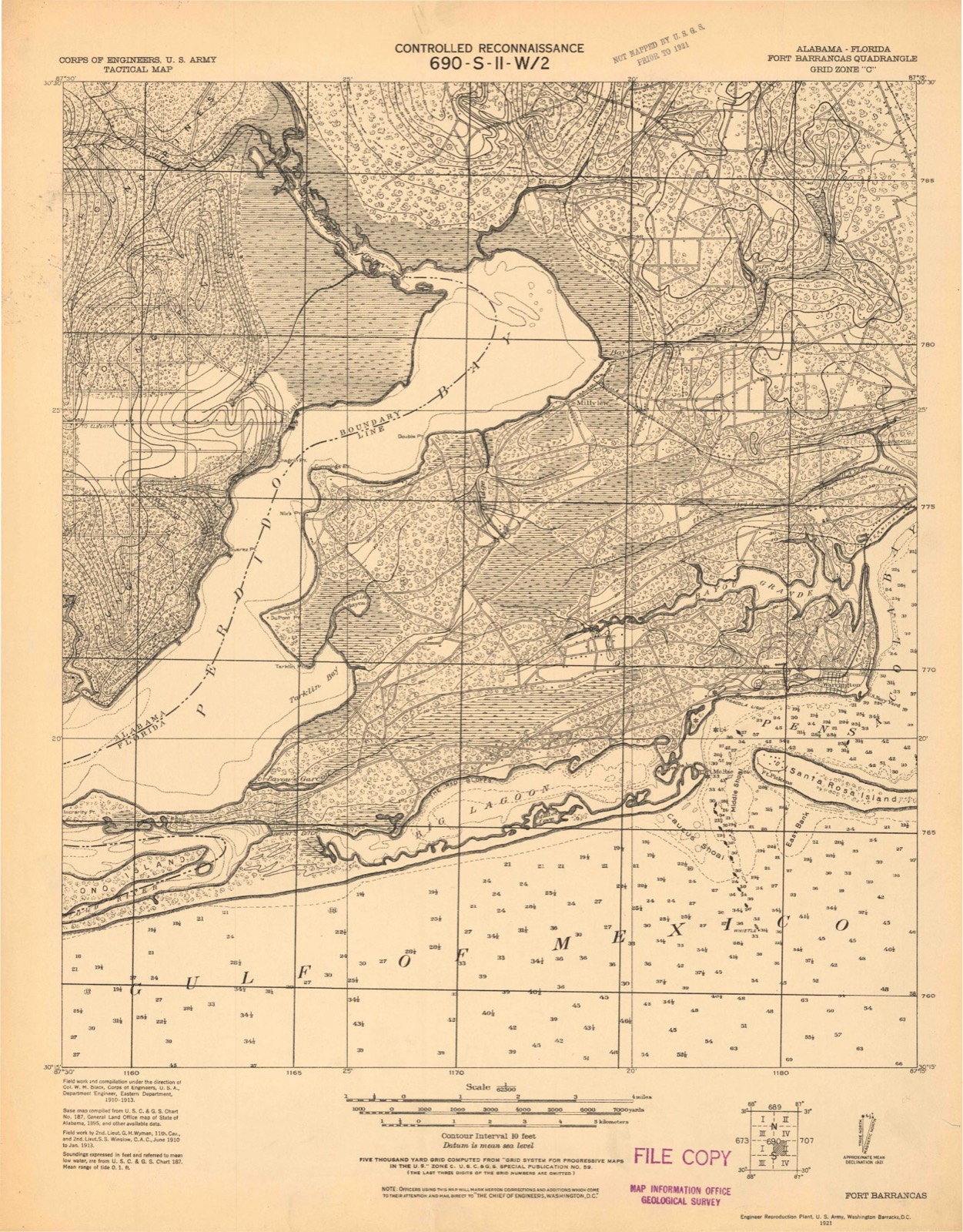
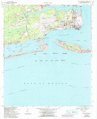
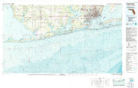
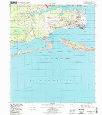
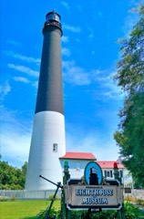
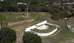
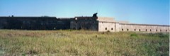
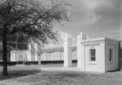
Listed on the National Register of Historic Places in 1980. 10 historic topographic surveys show this location, the earliest from 1921.
From the record
“The Perdido Key Historic District is a U.S. historic district located southwest of Warrington, Florida. The district is a 6-acre (24,000 m2) section on the eastern tip of Perdido Key.”
Wikipedia article Perdido Key Historic District, CC BY-SA 4.0.
One of 38 National Register listings published here for Escambia County · listed in 1980 · category: District.
National Register reference number.80000404- the number the National Park Service assigned this property when it was listed, and the key its nomination file is catalogued under at the National Archives.
Then and now
1921 to 1994
The ground this property stands on, surveyed
73 years apart. Drag the handle to wipe between them. Both sheets are
United States Geological Survey originals; neither has been altered.
19211994
Fires near this property
121 since 1992
Regional context, not property-specific
evidence. The
federal wildfire occurrence database
lists 121 fires within 5 miles of Perdido Key Historic District
between 1992 and 2020, burning about 3,547 acres in total. 16 started naturally. 11 were recorded as arson.
Distance is straight-line from the map coordinates, so a fire counted
here may appear on a neighbouring settlement's page as well.
Reported cause
Fires
Equipment and vehicle use
24
Missing data/not specified/undetermined
22
Misuse of fire by a minor
19
Natural
16
Railroad operations and maintenance
12
Arson/incendiarism
11
Debris and open burning
7
Fireworks
5
Recreation and ceremony
4
Power generation/transmission/distribution
1
The most recent of
them, most recent first, with the day each was reported and the service
that recorded it.
Regional context, not property-specific
evidence. The federal mineral resources record lists
1 working within 5 miles of Perdido Key Historic District: 1 unknown.
None of them still produces. What was taken out: Sand. Distance is straight-line from the
map coordinates, so a quarry counted here may appear on a neighbouring
settlement's page as well.
Regional context, not property-specific
evidence. The National Weather Service names
Warrington, the town this property stands in, in 16 storm reports between 1996 and 2023: 6 thunderstorm wind, 5 lightning, 2 heavy rain, 1 hail.
The reports record 8 injuries. Each account below is quoted exactly as the forecast office
filed it, from the NOAA Storm Events Database, and each date
opens the federal record of that event.
A storm survey was conducted Thursday afternoon on the tornado that struck Pensacola Florida on October 18. The tornado was rated an EF1 on the new enhanced Fujita scale (86-109 mph). The maximum width of the tornado was about 150 yards and the track length was about 5.5 miles. The tornado began around 1010 am CDT and lasted for about fifteen minutes.|The storm probably started as a waterspout over the Bay. Damage first began along the water just northeast of Pensacola Naval Air Station (just south of Silvershore drive). Minor damage occurred in this area. The storm tracked northeast over the water just parallel to the shore and moved ashore near the old Bayou Chico drawbridge. Several homes in this area suffered roof damage. Several boats were flipped over in this area as there are several boat storage facilities located near the water.|The tornado moved northeast and crossed Garden street near E street. Minor tree and power line damage occurred along this track. The tornado started causing a little more damage near Gregory and D streets as this is a more populated area. The tornado continued tracking northeast and crossed Cervantes near A street and continued northeast and crossed Highway 29 near Mallory street. Most of the home and church damage occurred along the track from B to Barcelona streets. A couple of homes near Jackson street were heavily damaged and a church on A street had part of its roof taken off. Four minor injuries also happened in this area. A daycare center in the church had been alerted to a tornado and had taken cover several minutes before the tornado hit.|After crossing Highway 29 the storm crossed I-110 just north of the pool and started tracking a little more to the north northeast and crossed Davis near the ball fields. Mostly tree and power line damage occurred along this track. The ball fields had bleachers turned over and power lines down.|The storm continued to the north northeast and crossed Ninth avenue near Texar drive and crossed Bayou boulevard near the Target store and eventually dissipated near Cordova mall. Most of the damage from the ball fields to Target was tree damage and minor roof damage. Thirty cars in the Target parking lot were totally destroyed. Very little damage occurred to the store. Across the street, Office Depot suffered roof damage. Part of the mall had skylights damaged and this allowed water to fall into part of the mall. No damage was found north of the mall.|The storm destroyed four structures...caused major damage to twenty-four structures and caused minor damage to fifty eight structures.
Strong thunderstorm winds produced damage at the intersection South Fairfield Drive and Dalton Street. A mobile home was overturned by the high winds, and one end of the structure was sheared off to the floor level by some pine trees as it overturned. A concrete block house just north of the mobile home suffered some minor wind damage to the roof. Several trees and some power lines were blown down at the same location. Four people (3 children and 1 adult), the occupants of the mobile home, were transported to the hospital with minor injuries.
The fire department in Warrington measured a thunderstorm downburst wind gust of 65 mph at 430 pm CST. The strong winds associated with this downburst produced a large area of wind damage in the Warrington area. A large Oak tree was uprooted and landed on a wood frame house, causing major damage to the srtucture. The roof and walls were damaged and the house was moved off its pillars. Another tree was blown over onto another house, causing minor roof damage. High thunderstorm winds also blew a section of the roof off the Redeemer Lutheran School, and the school was closed for several days after the storm. Elsewhere around the Warrington area, damage was primarily in the form of downed trees, tree limbs and power lines. Electrical power was out for several hours after the storm. No injuries were reported.
Lightning struck a home near Warrington. The strike started a fire and the home burned down before firefighters could put out the blaze. No one was injured.
Lightning struck a live oak tree and shattered it. The tree fell on a home and caused damage to the roof. Parts of the tree were blown about 100 yards away from the strike. No one was injured.
High winds from a thunderstorm blew down several trees near Warrington. A home in the same area also suffered minor roof damage caused by the high winds.
Lightning struck a tree and the strike traveled through the trees root system and burned a hole through a plastic natural gas line. The fire was extinguished quickly after the gas was turned off.
Wind gusts of 79 mph were reported at a chemical company near Warrington. The microburst caused minor damage to a trailer and to a roof. A window was also blown in.
United States Geological Survey topographic
sheets whose coverage includes this point. Matched by taking the middle of the area the National Park Service maps for this listing, then
testing that coordinate against the published boundary of every sheet.
Other National Register properties close
enough to walk or drive between, ordered by distance from this one. Both
positions come from the same geocoding pass that matched these properties
to their map sheets.
Listing record. National Park Service National Register of Historic Places, listed-properties dataset, current to 2026-05-22.
Map join. Address geocoded through the United States Census geocoder, then tested against the published boundary of every sheet in the USGS Historical Topographic Map Collection.
How this page is made. Listing fields come from federal records; map-sheet coverage is a labelled coordinate-to-boundary calculation, not a source-field claim.
Wildfire. Short, Karen C. 2022. Spatial wildfire occurrence data for the United States, 1992-2020 [FPA_FOD_20221014]. 6th Edition. Fort Collins, CO: Forest Service Research Data Archive. https://doi.org/10.2737/RDS-2013-0009.6 Collected with United States Government funding and usable without additional permissions or fees.
Mines and quarries. USGS Mineral Resources Data System (MRDS) https://mrdata.usgs.gov/mrds/ A work of the United States government, no copyright under 17 U.S.C. 105.
Storms. NOAA National Centers for Environmental Information, Storm Events Database https://www.ncei.noaa.gov/stormevents/ A work of the United States government, no copyright under 17 U.S.C. 105. Narratives are quoted verbatim from the National Weather Service report and are not edited or summarised.
 Block
Block