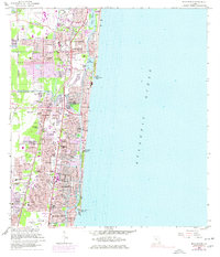
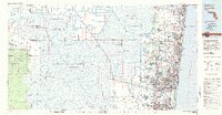
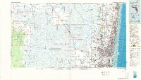
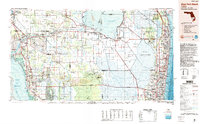
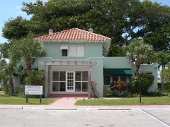
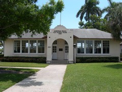
Listed on the National Register of Historic Places in 1984. 9 historic topographic surveys show this location, the earliest from 1946.
From the record
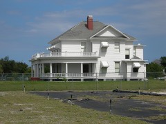
“The Sample Estate is a historic house located at 3161 North Dixie Highway in Pompano Beach, Florida. The house is a noteworthy example of the Colonial Revival style and is one of the most architecturally distinguished homes in the community.”
Wikipedia article Sample Estate, CC BY-SA 4.0.
One of 39 National Register listings published here for Broward County · listed in 1984 · category: Building.
National Register reference number.84000834- the number the National Park Service assigned this property when it was listed, and the key its nomination file is catalogued under at the National Archives.
Then and now
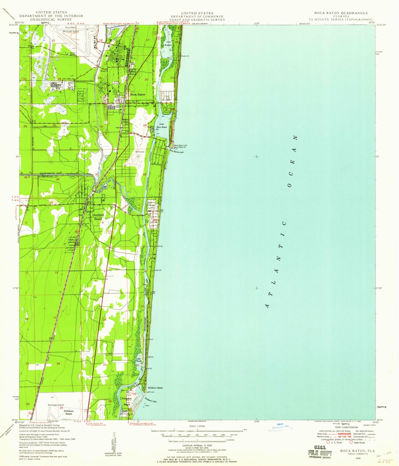
1946 to 1956
The ground this property stands on, surveyed
10 years apart. Drag the handle to wipe between them. Both sheets are
United States Geological Survey originals; neither has been altered.
19461956
Fires near this property
6 since 2010
Regional context, not property-specific
evidence. The
federal wildfire occurrence database
lists 6 fires within 5 miles of Sample Estate
between 2010 and 2019, burning about 39 acres in total. None started naturally. 4 were recorded as arson.
Distance is straight-line from the map coordinates, so a fire counted
here may appear on a neighbouring settlement's page as well.
Reported cause
Fires
Arson/incendiarism
4
Misuse of fire by a minor
1
Recreation and ceremony
1
The most recent of
them, most recent first, with the day each was reported and the service
that recorded it.
Regional context, not property-specific
evidence. The federal mineral resources record lists
11 workings within 5 miles of Sample Estate: 9 producers, 2 past producers.
9 still produce. What was taken out: Sand and Gravel, Construction, Stone, Crushed/Broken, Sand. Distance is straight-line from the
map coordinates, so a quarry counted here may appear on a neighbouring
settlement's page as well.
Regional context, not property-specific
evidence. The National Weather Service names
Pompano Beach, the town this property stands in, in 38 storm reports between 1995 and 2024: 10 thunderstorm wind, 6 waterspout, 6 lightning, 4 tornado.
The reports record 2 deaths and 11 injuries. Each account below is quoted exactly as the forecast office
filed it, from the NOAA Storm Events Database, and each date
opens the federal record of that event.
Broadcast media relayed a report of two male construction workers struck by lightning from a thunderstorm just northwest of their location while working on a roof of a auto dealership at 909 South Federal Highway in Pompano Beach. Both men were transported to a local hospital. One of them, a 55-year-old, was in critical condition. He died from his injuries a few days later on Monday, June 2nd.
A waterspout moved ashore in Pompano Beach in the midst of a seafood festival. Two large tents were mangled. Three persons suffered minor injuries from flying debris.
A woman and her toddler-aged daughter were struck by lightning while waiting for a bus. The woman felt electricity in her hands. Both people were able to make it inside of a Wendy's Restaurant and call for help. Paramedics treated the two at the restaurant and convinced them to go to the hospital to be looked at.
A 54-year-old man was struck and injured by lightning while leaning against a crane outside a business. Lightning apparently struck the crane and the man felt tingling in his left arm.
A 77-year old Canadian visitor was wading in waist-deep water at an unguarded section of the beach near the 100 block of Briny Avenue when he was caught in a rip current. The man suffered a heart attack but was revived by paramedics.
A large tree fell on a mobile home in Pompano Beach, displacing 5 people living in the home. This was associated with a band of gusty showers and thunderstorms, and nearby wind reports indicated speeds were probably in the 40-50 mph range.
The public reported street flooding with water up to 6 inches deep in the road near State US 1 and E Atlantic Boulevard in Pompano Beach after slow-moving showers and embedded thunderstorms stalled over the area. Rainfall totals were estimated to be around 4 to 6 inches in less than 2 hours.
Standing water and stranded vehicles were reported along several streets in Pompano Beach and Oakland Park due to heavy rainfall after continuous rounds of showers and thunderstorms moved across the area. Up to 6 inches of standing water was reported along portions of State Road A1A with multiple stranded vehicles. 4 to 6 inches of rain was estimated to have fallen within a 3-hour period across this area.
An off-duty NWS Employee reported extensive street flooding due to heavy rainfall in areas of Broward County, specifically Pompano Beach area. Water several inches deep and flowing near the intersection of Atlantic Blvd and US-1, the intersection of 15th St and North Andrews Ave, the intersection of 13th St and North Andrews Ave, and the intersection of North Andrews Ave and Copans Rd was reported. Some roadways/intersections were impassable. Multiple pictures received showing the excessive water.
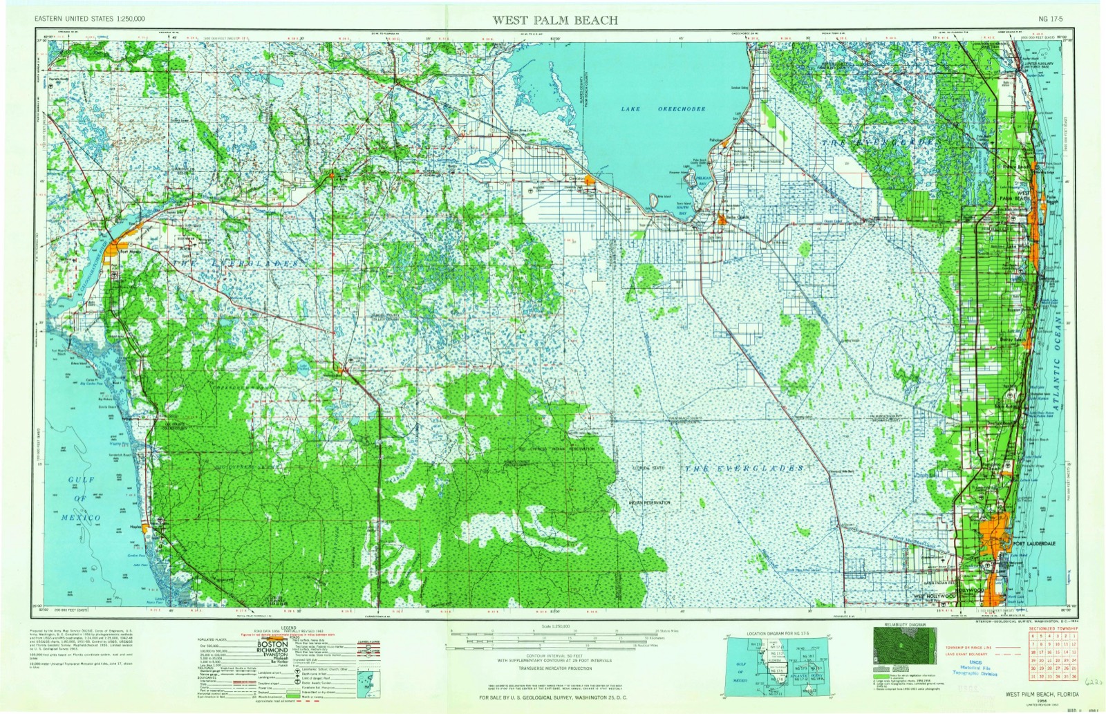
United States Geological Survey topographic
sheets whose coverage includes this point. Matched by taking the coordinate the National Park Service records for this property, then
testing that coordinate against the published boundary of every sheet.
Other National Register properties close
enough to walk or drive between, ordered by distance from this one. Both
positions come from the same geocoding pass that matched these properties
to their map sheets.
Listing record. National Park Service National Register of Historic Places, listed-properties dataset, current to 2026-05-22.
Map join. Address geocoded through the United States Census geocoder, then tested against the published boundary of every sheet in the USGS Historical Topographic Map Collection.
How this page is made. Listing fields come from federal records; map-sheet coverage is a labelled coordinate-to-boundary calculation, not a source-field claim.
Wildfire. Short, Karen C. 2022. Spatial wildfire occurrence data for the United States, 1992-2020 [FPA_FOD_20221014]. 6th Edition. Fort Collins, CO: Forest Service Research Data Archive. https://doi.org/10.2737/RDS-2013-0009.6 Collected with United States Government funding and usable without additional permissions or fees.
Mines and quarries. USGS Mineral Resources Data System (MRDS) https://mrdata.usgs.gov/mrds/ A work of the United States government, no copyright under 17 U.S.C. 105.
Storms. NOAA National Centers for Environmental Information, Storm Events Database https://www.ncei.noaa.gov/stormevents/ A work of the United States government, no copyright under 17 U.S.C. 105. Narratives are quoted verbatim from the National Weather Service report and are not edited or summarised.
 Block
Block