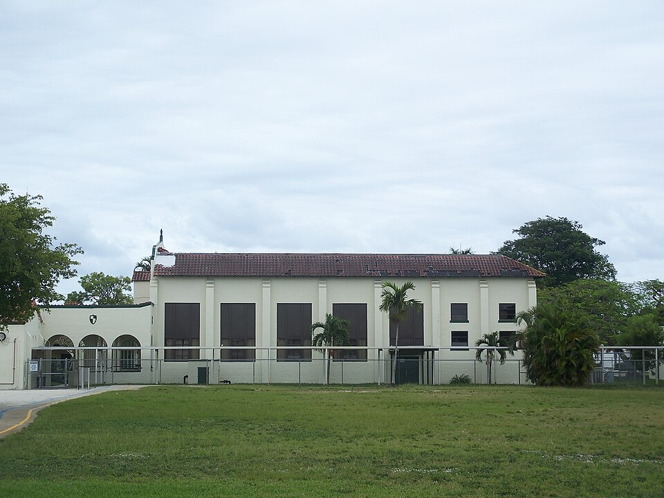
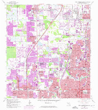
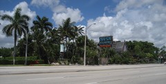
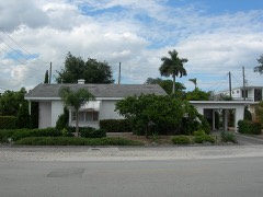
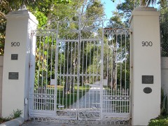
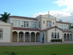
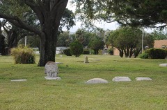
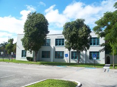
Built in 1926 (Mission Revival architecture). Listed on the National Register of Historic Places in 1988. 10 historic topographic surveys show this location, the earliest from 1945.
From the record
“The Oakland Park Elementary School is a historic school in Oakland Park, Florida, United States. The school, part of Broward County Public Schools, is located at 936 Northeast 33rd Street.”
Wikipedia article Oakland Park Elementary School, CC BY-SA 4.0.
One of 39 National Register listings published here for Broward County · listed in 1988 · category: Building · built in 1926, Mission Revival architecture, by Thomas D. McLaughlin.
National Register reference number.88000714- the number the National Park Service assigned this property when it was listed, and the key its nomination file is catalogued under at the National Archives.
Then and now
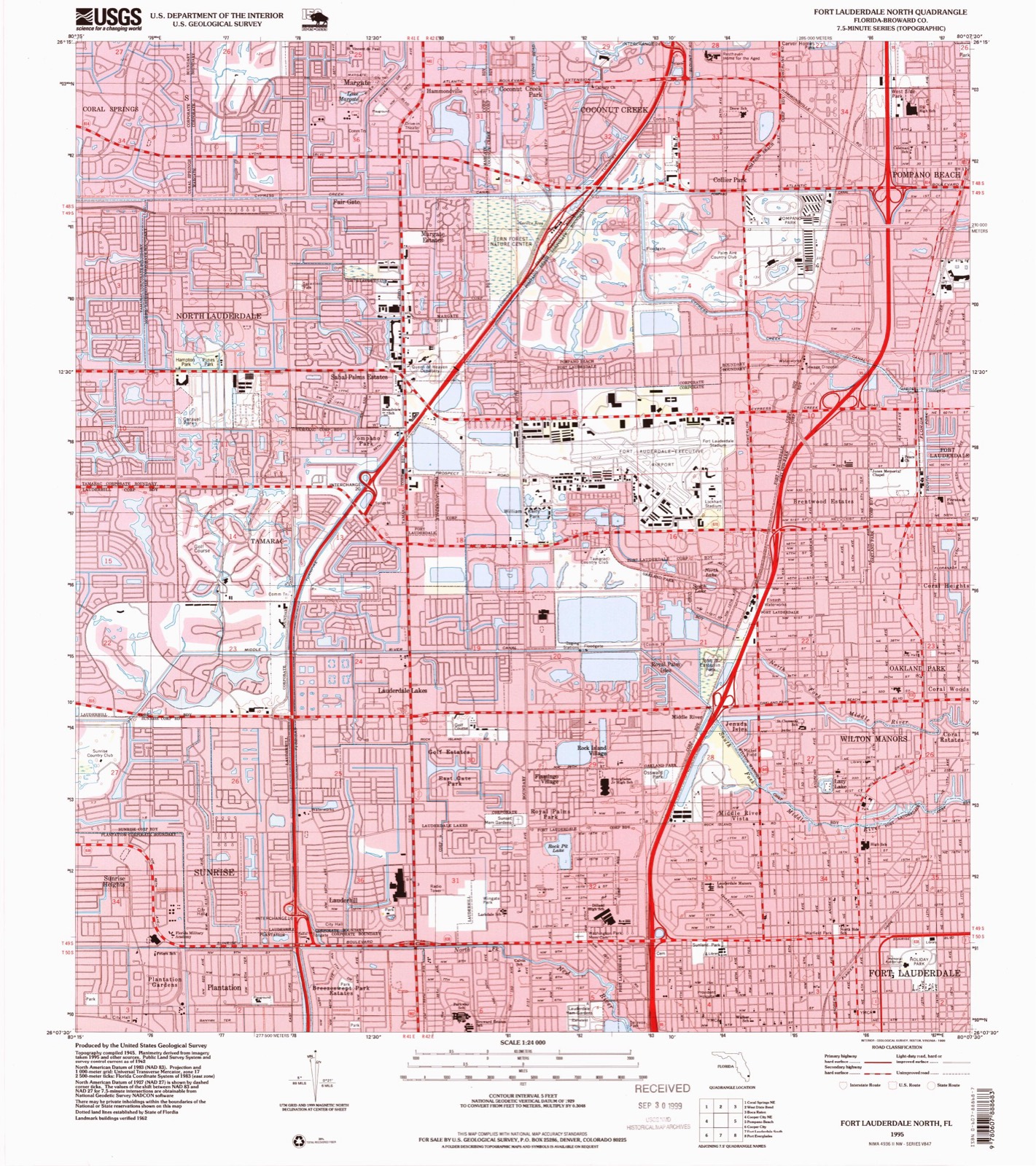
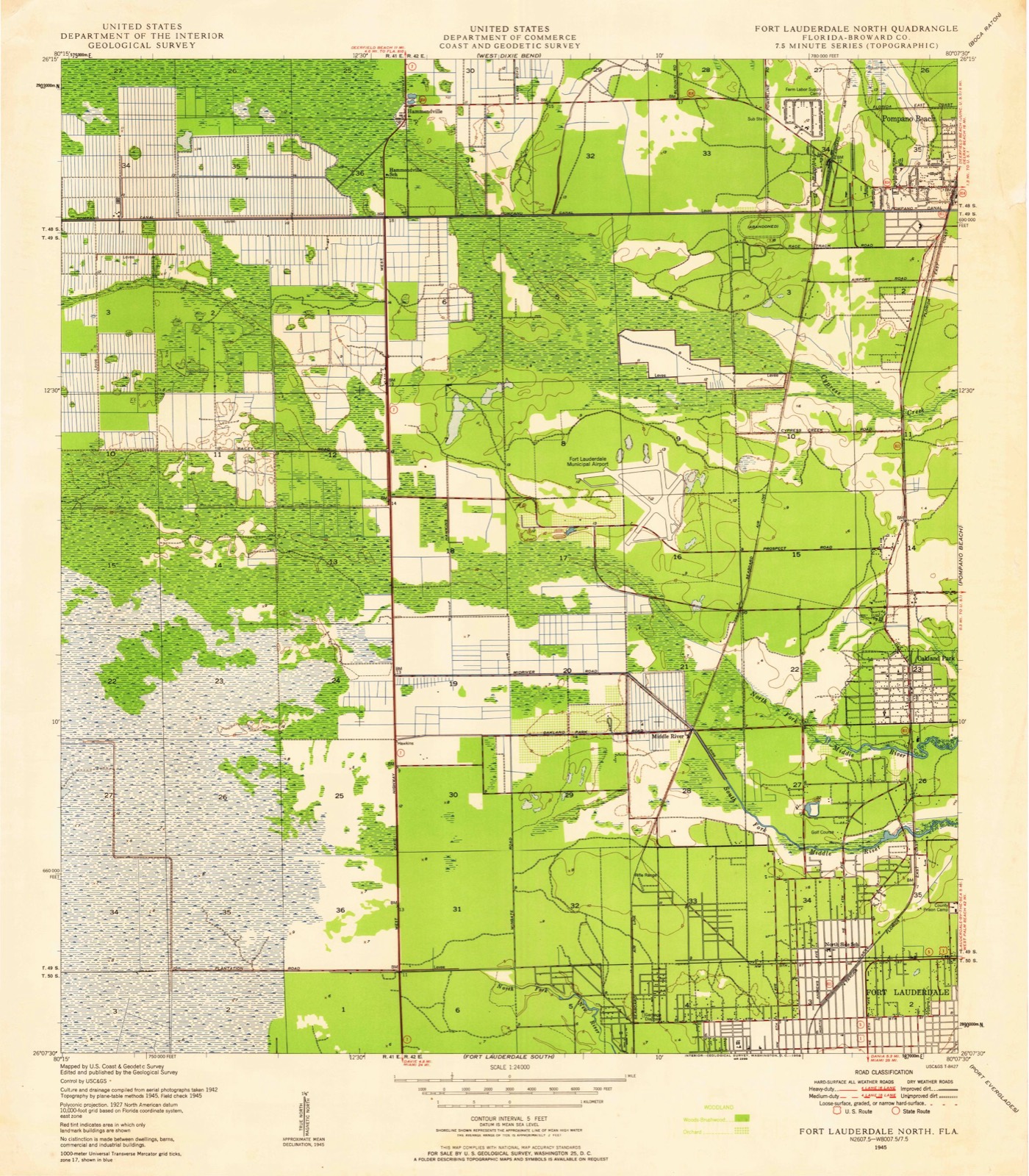
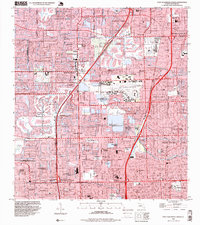
1945 to 1995
The ground this property stands on, surveyed
50 years apart. Drag the handle to wipe between them. Both sheets are
United States Geological Survey originals; neither has been altered.
19451995
Mines and
quarries near this property
4 within 5 miles
Regional context, not property-specific
evidence. The federal mineral resources record lists
4 workings within 5 miles of Oakland Park Elementary School: 3 past producers, 1 producer.
1 still produces. What was taken out: Stone, Crushed/Broken, Sand and Gravel, Construction. Distance is straight-line from the
map coordinates, so a quarry counted here may appear on a neighbouring
settlement's page as well.
Regional context, not property-specific
evidence. The National Weather Service names
Oakland Park, the town this property stands in, in 16 storm reports between 1998 and 2025: 4 funnel cloud, 4 flood, 2 hail, 2 tornado.
The reports record 1 injury. Each account below is quoted exactly as the forecast office
filed it, from the NOAA Storm Events Database, and each date
opens the federal record of that event.
A United States Postal Service worker sustained serious burns as lightning struck nearby his truck. The electricity traveled through the truck as he was touching it. The location was 1781 E. Commercial Blvd. near Oakland Park.
Torrential rains from strong thunderstorms collapsed the roof of a gym at La Roca Church located at 3000 Prospect Road in Oakland Park. The roof collapsed at about 5 PM EDT. Fire Rescue personnel estimated that between 1500 to 2000 square feet of the roof fell.||The building was not occupied at the time.
The broadcast media and public described, via social media posts and pictures, a tornado occurred within a residential neighborhood in the city of Oakland Park. There were pictures of flipped cars and damaged trees. Time, path length, and path width are estimated based on radar and satellite imagery. Due to an inability to survey the area, maximum wind speeds and EF rating are unknown. Damage amount is estimated.
WPLG-TV shared a video of a disabled vehicle near NE 6th Avenue in Oakland Park on a closed roadway covered with several inches of water. Measured rainfall amounts from the area were in the 2 to 3 inch range in under an hour.
Local broadcast media reported street flooding in the Oakland Park area from todays repeated rounds of rainfall. Vehicles were having trouble clearing through the water. Nearby rain gauges and precipitation analyses indicate at least 3 inches of rain fell in the area.
A funnel cloud was reported by the weather observer at Fort Lauderdale Executive Airport located about one mile to the southeast. The funnel began at 1036 AM EDT and dissipated at 1049 AM EDT.
Funnel clouds were reported in eastern Broward County. These funnel clouds were associated with a line of showers extending from Oakland Park to Davie. The showers were moving slowly east. No reports of funnel clouds touching down were received.
United States Geological Survey topographic
sheets whose coverage includes this point. Matched by taking the coordinate the National Park Service records for this property, then
testing that coordinate against the published boundary of every sheet.
Other National Register properties close
enough to walk or drive between, ordered by distance from this one. Both
positions come from the same geocoding pass that matched these properties
to their map sheets.
Listing record. National Park Service National Register of Historic Places, listed-properties dataset, current to 2026-05-22.
Map join. Address geocoded through the United States Census geocoder, then tested against the published boundary of every sheet in the USGS Historical Topographic Map Collection.
How this page is made. Listing fields come from federal records; map-sheet coverage is a labelled coordinate-to-boundary calculation, not a source-field claim.
Mines and quarries. USGS Mineral Resources Data System (MRDS) https://mrdata.usgs.gov/mrds/ A work of the United States government, no copyright under 17 U.S.C. 105.
Storms. NOAA National Centers for Environmental Information, Storm Events Database https://www.ncei.noaa.gov/stormevents/ A work of the United States government, no copyright under 17 U.S.C. 105. Narratives are quoted verbatim from the National Weather Service report and are not edited or summarised.
 Block
Block