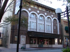
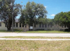
Photograph by Fl295 at English Wikipedia, Public domain. Via
Wikimedia Commons.
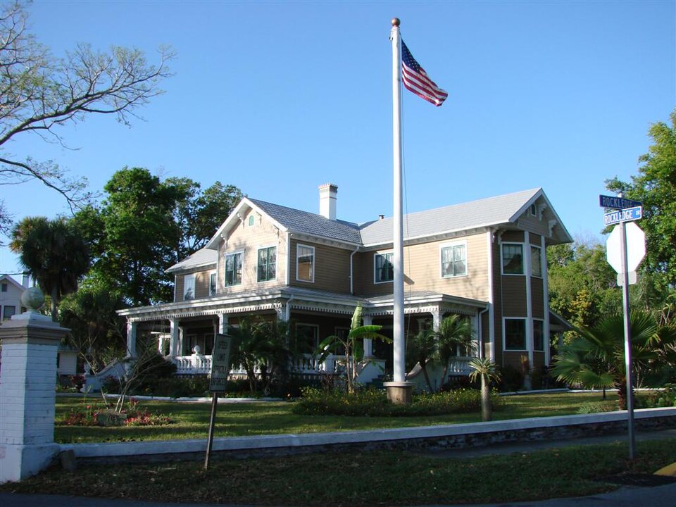
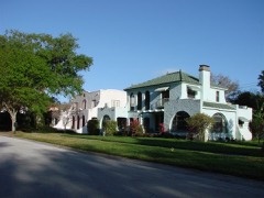
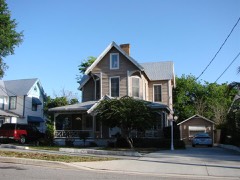
Rockledge Drive Residential District
Listed on the National Register of Historic Places in 1992. 8 historic topographic surveys show this location, the earliest from 1949.
From the record
“The Rockledge Drive Residential District is a U.S. historic district located in Rockledge, Florida. The district runs from 15 through 23 Rockledge Avenue, 219 through 1361 Rockledge Drive and 1 through 11 Orange Avenue.”
Wikipedia article Rockledge Drive Residential District, CC BY-SA 4.0.
One of 41 National Register listings published here for Brevard County · listed in 1992 · category: District.
National Register reference number.92001045- the number the National Park Service assigned this property when it was listed, and the key its nomination file is catalogued under at the National Archives.
Then and now
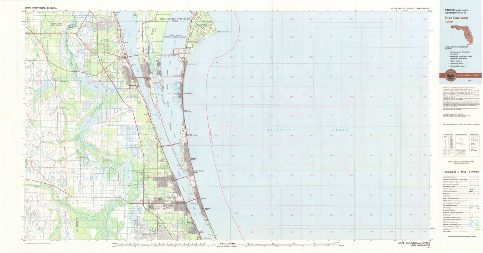
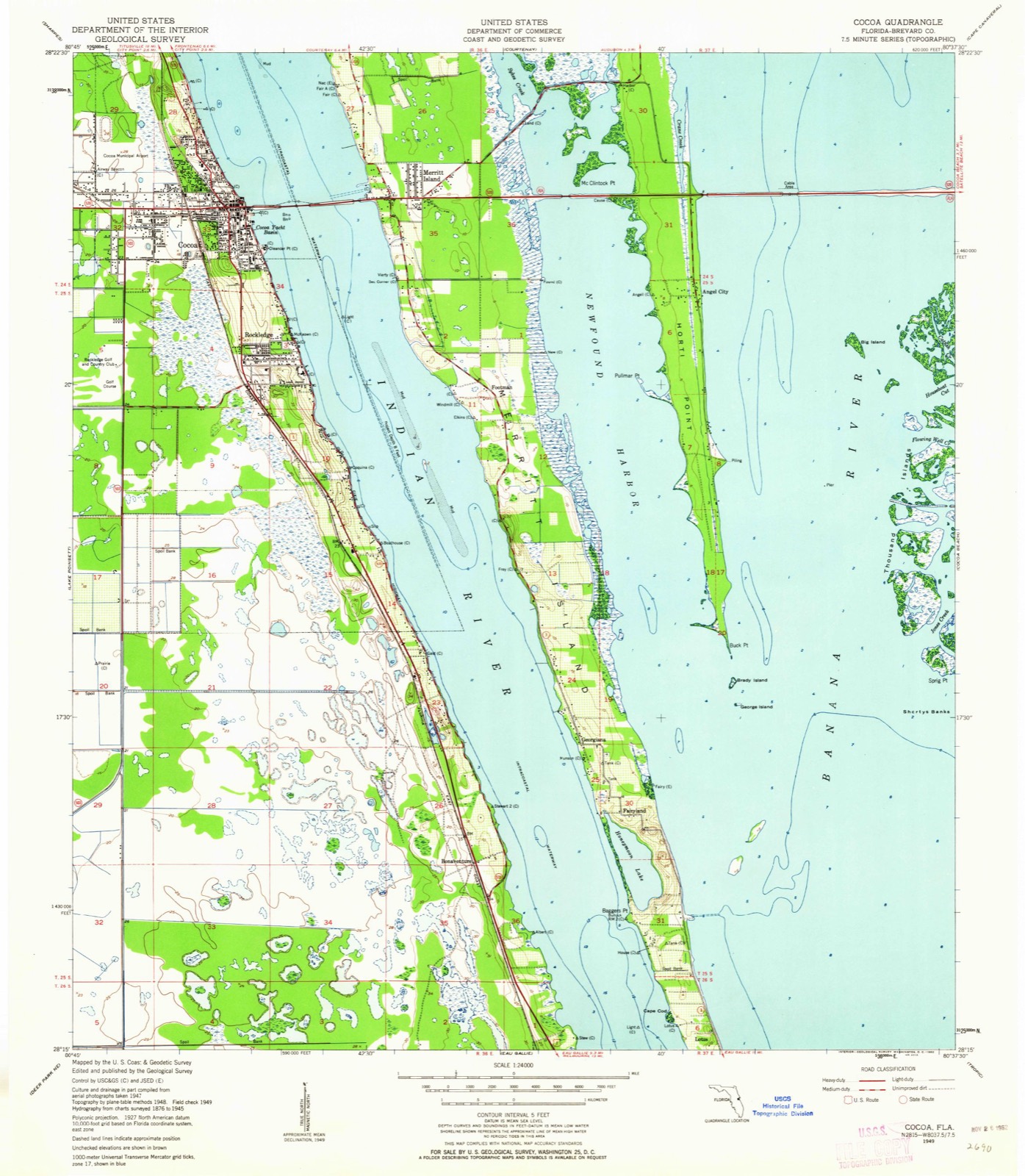
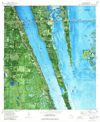
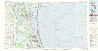
1949 to 1981
The ground this property stands on, surveyed
32 years apart. Drag the handle to wipe between them. Both sheets are
United States Geological Survey originals; neither has been altered.
19491981
Fires near this property
150 since 1992
Regional context, not property-specific
evidence. The
federal wildfire occurrence database
lists 150 fires within 5 miles of Rockledge Drive Residential District
between 1992 and 2020, burning about 10,071 acres in total. 28 started naturally. 24 were recorded as arson.
Distance is straight-line from the map coordinates, so a fire counted
here may appear on a neighbouring settlement's page as well.
Reported cause
Fires
Natural
28
Missing data/not specified/undetermined
27
Arson/incendiarism
24
Railroad operations and maintenance
24
Equipment and vehicle use
19
Misuse of fire by a minor
16
Recreation and ceremony
8
Debris and open burning
2
Power generation/transmission/distribution
1
Other causes
1
The most recent of
them, most recent first, with the day each was reported and the service
that recorded it.
Regional context, not property-specific
evidence. The federal mineral resources record lists
7 workings within 5 miles of Rockledge Drive Residential District: 4 producers, 2 unknowns, 1 past producer.
4 still produce. What was taken out: Clay, Stone, Crushed/Broken, Limestone, General. Distance is straight-line from the
map coordinates, so a quarry counted here may appear on a neighbouring
settlement's page as well.
Regional context, not property-specific
evidence. The National Weather Service names
Rockledge, the town this property stands in, in 28 storm reports between 1997 and 2023: 10 thunderstorm wind, 9 hail, 4 tornado, 2 heavy rain.
The reports record 1 injury. Each account below is quoted exactly as the forecast office
filed it, from the NOAA Storm Events Database, and each date
opens the federal record of that event.
An F0 tornado touched down a few hundred feet west of the shore of the Intracoastal Waterway between Rockledge and Palm Shores. The tornado moved west producing damage to a condominium complex. Twenty five units received slight roof damage. Street signs and small trees were blown down. A back porch enclosure and a pool enclosure were destroyed. The tornado moved west over Highway US 1 near Viera Boulevard as it lifted. A small sedan was overturned injuring a woman.
A long-lived tropical rain band rotating thunderstorm from Hurricane Wilma moved north through Brevard County and briefly touched down in north Rockledge and Cocoa. The tornado destroyed a porch at a restaurant and damaged the roof of an apartment building and blew out transformers. The tornado moved northeast across the intracoastal waterway and destroyed power transformers as it came on shore about a mile north of US Highway 520.
Afternoon heavy rains in excess of four inches produced widespread flooding of major roadways across central and northern Brevard County. The most serious flooding occurred across Rockledge, Cocoa and Merritt Island. US Highway 520 and State Road 3 were flooded. Numerous cars were flooded and abandoned.
A tornado (landspout) developed along an outflow boundary ahead of a cluster of thunderstorms within a residential area of Rockledge. Minor damage began near the west end of Lakemoor Boulevard, and continued sporadically to near the intersection of Green Road and Fiske Boulevard, then ended just northeast of Buckingham Court. Damage occurred to a screen porch and carport, with more significant damage toward the east end of the track where a roof was partially removed from a home, after being initially peeled back from an overhang. Minor damage to fences and tree branches were also reported. Several residents observed and videotaped a funnel cloud, with rotating debris below at and above ground level. A review of videos and photos of damage to the structures helped confirm that a tornado occurred for less than a minute and affected a narrow swath just over a third of a mile long. The tornado was rated EF-0, with maximum winds estimated at 60 to 70 mph.
Several public reports of damage, including wires and a fence blown down, a metal shed blown over a fence and into a neighbor's yard, and damage to a pool enclosure on Nagel Drive.
A sub-severe thunderstorm produced damage in the Levitt Park Subdivision of Rockledge. Several large tree branches were downed, two weak trees were toppled, and fences and a sign were damaged. A home sustained damage to an awning and carport. A NWS damage survey was conducted and maximum winds were estimated at 50-55 mph.
Brevard Emergency Management reported minor wind damage to two mobile homes in Rockledge. Carports, awnings and a porch were damaged by the thunderstorm winds.
Several reports of 5 to 6 inches of rain in the Rockledge area were received from trained spotters and the public. Most of the rain fell between 1230 and 1430 LST, with light rain lingering for several more hours. The main areas impacted were between Interstate 95, Fiske Boulevard, Eyster Boulevard, Murrell Road and Roy Wall Boulevard. Street flooding was reported on Levitt Parkway and in the nearby Silver Pines Estates neighborhood.
A waterspout formed over the Intracoastal Waterway and moved to the southwest over Rockledge. An NWS survey team found numerous witnesses who saw the spout move on shore producing a path of broken palm branches, overturned flower pots. No significant damage could be located.
United States Geological Survey topographic
sheets whose coverage includes this point. Matched by taking the middle of the area the National Park Service maps for this listing, then
testing that coordinate against the published boundary of every sheet.
Other National Register properties close
enough to walk or drive between, ordered by distance from this one. Both
positions come from the same geocoding pass that matched these properties
to their map sheets.
Listing record. National Park Service National Register of Historic Places, listed-properties dataset, current to 2026-05-22.
Map join. Address geocoded through the United States Census geocoder, then tested against the published boundary of every sheet in the USGS Historical Topographic Map Collection.
How this page is made. Listing fields come from federal records; map-sheet coverage is a labelled coordinate-to-boundary calculation, not a source-field claim.
Wildfire. Short, Karen C. 2022. Spatial wildfire occurrence data for the United States, 1992-2020 [FPA_FOD_20221014]. 6th Edition. Fort Collins, CO: Forest Service Research Data Archive. https://doi.org/10.2737/RDS-2013-0009.6 Collected with United States Government funding and usable without additional permissions or fees.
Mines and quarries. USGS Mineral Resources Data System (MRDS) https://mrdata.usgs.gov/mrds/ A work of the United States government, no copyright under 17 U.S.C. 105.
Storms. NOAA National Centers for Environmental Information, Storm Events Database https://www.ncei.noaa.gov/stormevents/ A work of the United States government, no copyright under 17 U.S.C. 105. Narratives are quoted verbatim from the National Weather Service report and are not edited or summarised.
 Block
Block