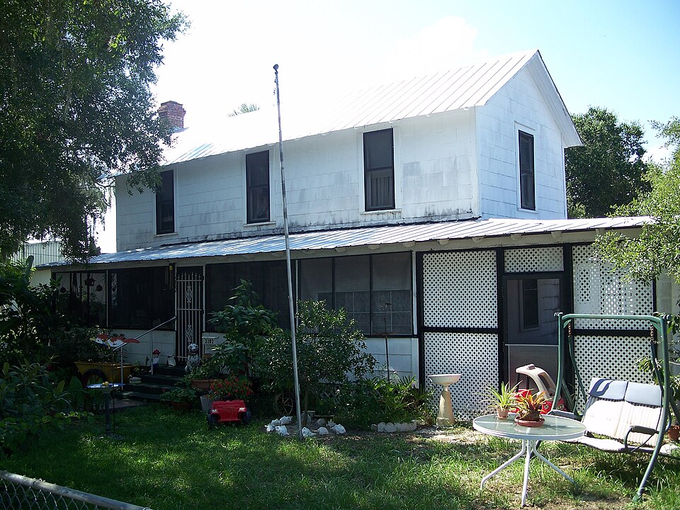
National Register reference number.95000913- the number the National Park Service assigned this property when it was listed, and the key its nomination file is catalogued under at the National Archives.
Then and now
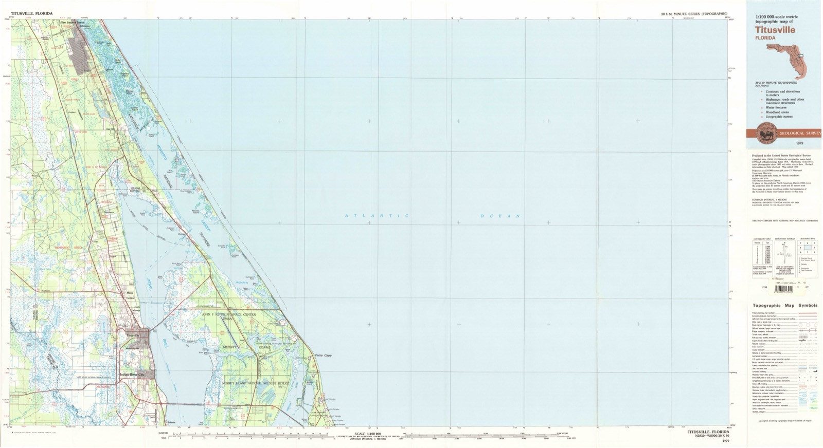
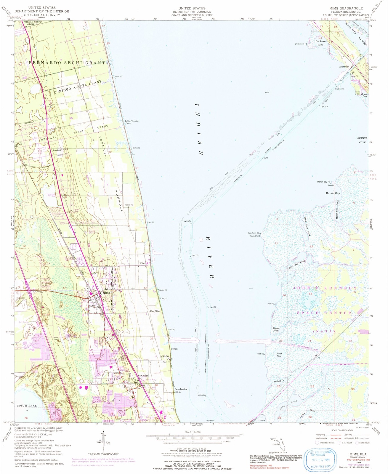
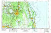
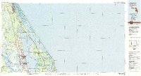
1949 to 1979
The ground this property stands on, surveyed
30 years apart. Drag the handle to wipe between them. Both sheets are
United States Geological Survey originals; neither has been altered.
19491979
Fires near this property
133 since 1992
Regional context, not property-specific
evidence. The
federal wildfire occurrence database
lists 133 fires within 5 miles of Hotel Mims
between 1992 and 2020, burning about 5,697 acres in total. 35 started naturally. 13 were recorded as arson.
Distance is straight-line from the map coordinates, so a fire counted
here may appear on a neighbouring settlement's page as well.
Reported cause
Fires
Natural
35
Equipment and vehicle use
26
Railroad operations and maintenance
22
Arson/incendiarism
13
Missing data/not specified/undetermined
10
Debris and open burning
10
Misuse of fire by a minor
7
Recreation and ceremony
6
Power generation/transmission/distribution
3
Smoking
1
The most recent of
them, most recent first, with the day each was reported and the service
that recorded it.
Regional context, not property-specific
evidence. The National Weather Service names
Mims, the town this property stands in, in 23 storm reports between 1996 and 2025: 7 thunderstorm wind, 5 hail, 4 funnel cloud, 3 tornado.
No death or injury is recorded in these reports. Each account below is quoted exactly as the forecast office
filed it, from the NOAA Storm Events Database, and each date
opens the federal record of that event.
A stalled thunderstorm produced an extreme amount of rainfall across portions of northern Brevard County. In Titusville, between 13 to 15 inches of rainfall fell over approximately 7 hours. The maximum rainfall accumulation was 15.57 inches measured by a mesonet station. Numerous roads were closed due to the flooding, with many stranded vehicles, especially near Singleton Ave and Jay Jay Rd. At least 215 homes and businesses were affected, with over 130 reporting minor to major impacts due to the flooding in Titusville and Mims alone, as water entered structures. Portions of at least two roadways were washed away, including Parrish Rd and Pentax Rd. Floodwaters lingered for several days. This was part of a rare, high-impact flood event, which also impacted Sharpes, Cocoa, and north Merritt Island, with a 12-hour annual exceedance probability (AEP or the percent chance of an event occurring in any calendar year) between 0.5% and 0.2%, alternatively known as a 200 to 500-year rainfall event.
Approximately 4 to 7 inches of rainfall fell, most of which occurred between 8 and 11 LST. Media reports flooding due to the heavy rainfall led to approximately 18 to 24 inches of water in several apartments near US Highway 1 and Irwin Ave in Mims. All ten units we subsequently uninhabitable. In addition, ankle deep water was photographed in the parking lot of a business at US 1 and Brockett Rd. There was also flooding reported near International Ave.
A severe thunderstorm produced a southwest-to-northeast aligned damage path. Several eyewitness reports and videos evidence confirmed a brief EF-0 tornado touched down within the overall damage swath. Significant roof damage occurred to three homes on Oklahoma Street, Old Dixie Highway and Brandywine Circle in north Titusville. Inflow winds produced damage, mainly to trees and fences either side of the most significant damage path. Maximum winds were estimated at 65 to 75 mph. DI2; DOD2-DOD4 LB.
Based on a NWS storm survey, a tornado developed just west of the intersection of Brockett Road and Hammock Road in Mims. The tornado snapped many trees and partially removed the roof from a mobile home on Brockett Road (strong EF-1 strength), then moved through a wooded area before reaching near the north end of Nab Street and the east end of Benson Court. A pickup truck near the corner of Benson Court and Lisa Drive rolled about 30 feet west into the fence of an adjacent yard. The tornado strengthened to EF-2 intensity with estimated wind speeds of 115 to 125 mph as it affected homes on Kilbee Street, Turnbull Road, and Brevard Road. Numerous homes were impacted and several were left uninhabitable due to severe roof damage. A number of trees were snapped and uprooted as the tornado continued west northwest across Old Dixie Highway. The tornado dissipated shortly after crossing US Highway 1 near Roosevelt Road. DI2, DOD6, EXP. DI27, DOD4, EXP.
Based on a NWS storm survey, an EF-1 tornado, with estimated wind speeds between 90 to 95 mph, snapped and uprooted several trees as it developed near Old Dixie Highway in Mims. The tornado continued across US Highway 1 and the northern portion of the Northgate Mobile Home and RV Park, damaging over a dozen homes, several of which experienced partial roof removal. In addition, several power poles snapped in the development and one landed on a home. The tornado also rolled several unoccupied RV's onto to their sides, which were being stored in a parking lot between US Highway 1 and the mobile home park. DI28, DOD3, EXP; DI24, DOD4, LB; DI3, DOD3, EXP.
Several public reports indicated excessive rainfall within a short period of time, leading to temporary, nuisance flooding of poor drainage areas and parking lots in Scottsmoor, Mims and Titusville. Mesonet observations and radar-based rainfall estimates indicated 4 to 6 inches of rain fell within several hours.
An Orlando TV Station relayed a report from a viewer of quarter size hail falling in Mims for nearly 15 minutes. The hail was measured and photos were obtained.
United States Geological Survey topographic
sheets whose coverage includes this point. Matched by taking the coordinate the National Park Service records for this property, then
testing that coordinate against the published boundary of every sheet.
Other National Register properties close
enough to walk or drive between, ordered by distance from this one. Both
positions come from the same geocoding pass that matched these properties
to their map sheets.
Listing record. National Park Service National Register of Historic Places, listed-properties dataset, current to 2026-05-22.
Map join. Address geocoded through the United States Census geocoder, then tested against the published boundary of every sheet in the USGS Historical Topographic Map Collection.
How this page is made. Listing fields come from federal records; map-sheet coverage is a labelled coordinate-to-boundary calculation, not a source-field claim.
Wildfire. Short, Karen C. 2022. Spatial wildfire occurrence data for the United States, 1992-2020 [FPA_FOD_20221014]. 6th Edition. Fort Collins, CO: Forest Service Research Data Archive. https://doi.org/10.2737/RDS-2013-0009.6 Collected with United States Government funding and usable without additional permissions or fees.
Storms. NOAA National Centers for Environmental Information, Storm Events Database https://www.ncei.noaa.gov/stormevents/ A work of the United States government, no copyright under 17 U.S.C. 105. Narratives are quoted verbatim from the National Weather Service report and are not edited or summarised.
 Block
Block